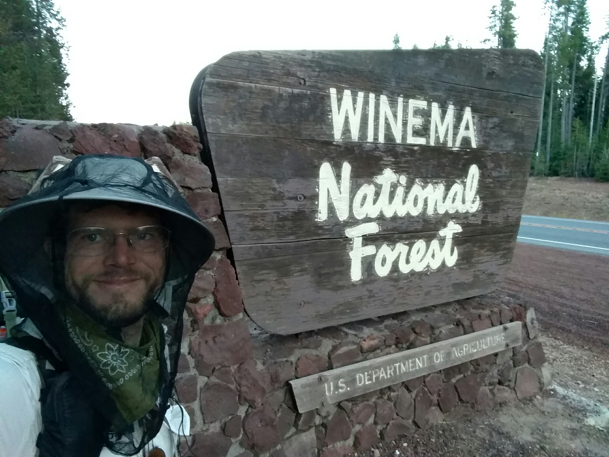
I had a lot to do this morning. Break camp, shower, sort my food resupply, get breakfast, research water and resupplies… And that’s all before I even got around to hiking.
The next resupply seemed like it might be a problem. I’d been planning on hitching into Crescent Lake, which has a supermarket, but apparently nobody does that. I don’t know why. Shelter Cove was an alternative, but its store was supposed to be mostly candy, and it was too late to ship a resupply there. I decided to overpack at Mazama, so that I’d have leftovers at Shelter Cove, so my resupply wouldn’t be all candy (just mostly candy).
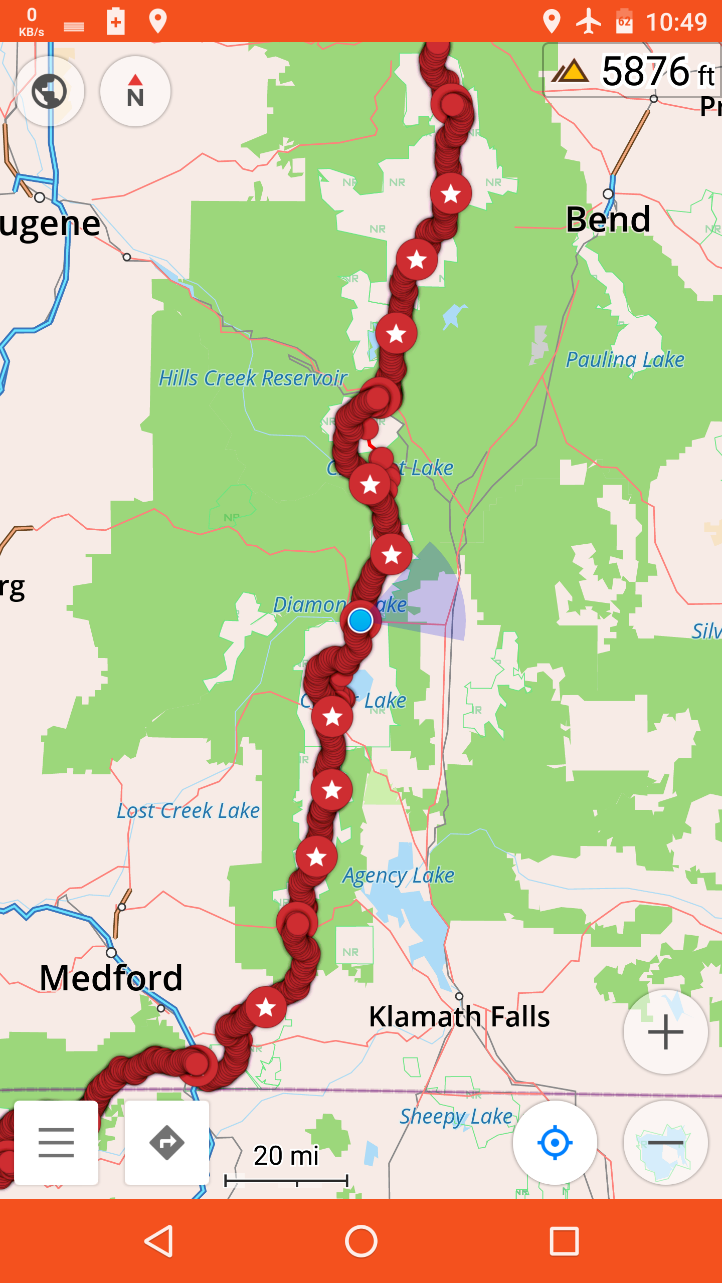
And, after figuring that out, I realized I had 180 miles to Highway 20, where I’d take my next zero. I’d planned on doing that on the 18th or 19th. That could require five 30-mile days in a row. I’d only done three 30-mile days on the whole hike so far, none in a row, and they’d all been hard. I’m not sure I’ll be able to do that.
Breakfast today, at least, was nice. I had all the basics — eggs, pancake, cut fruit, yogurt, and coffee. The coffee was so good, I had 4 cups — I’d need it for the kind of mileage I’d need to be covering.
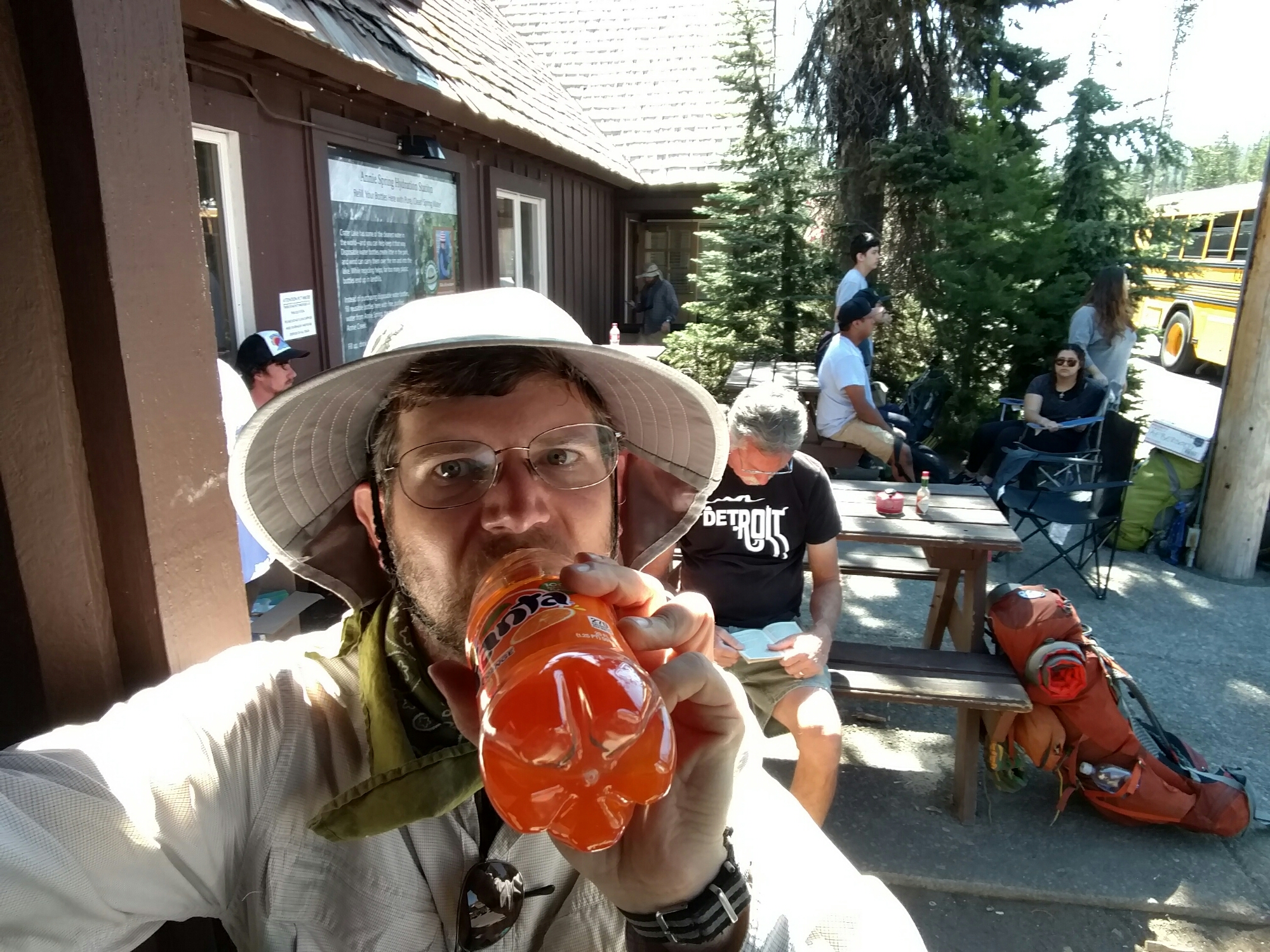
With everything in order, I had one last orange soda at the store, and set out.
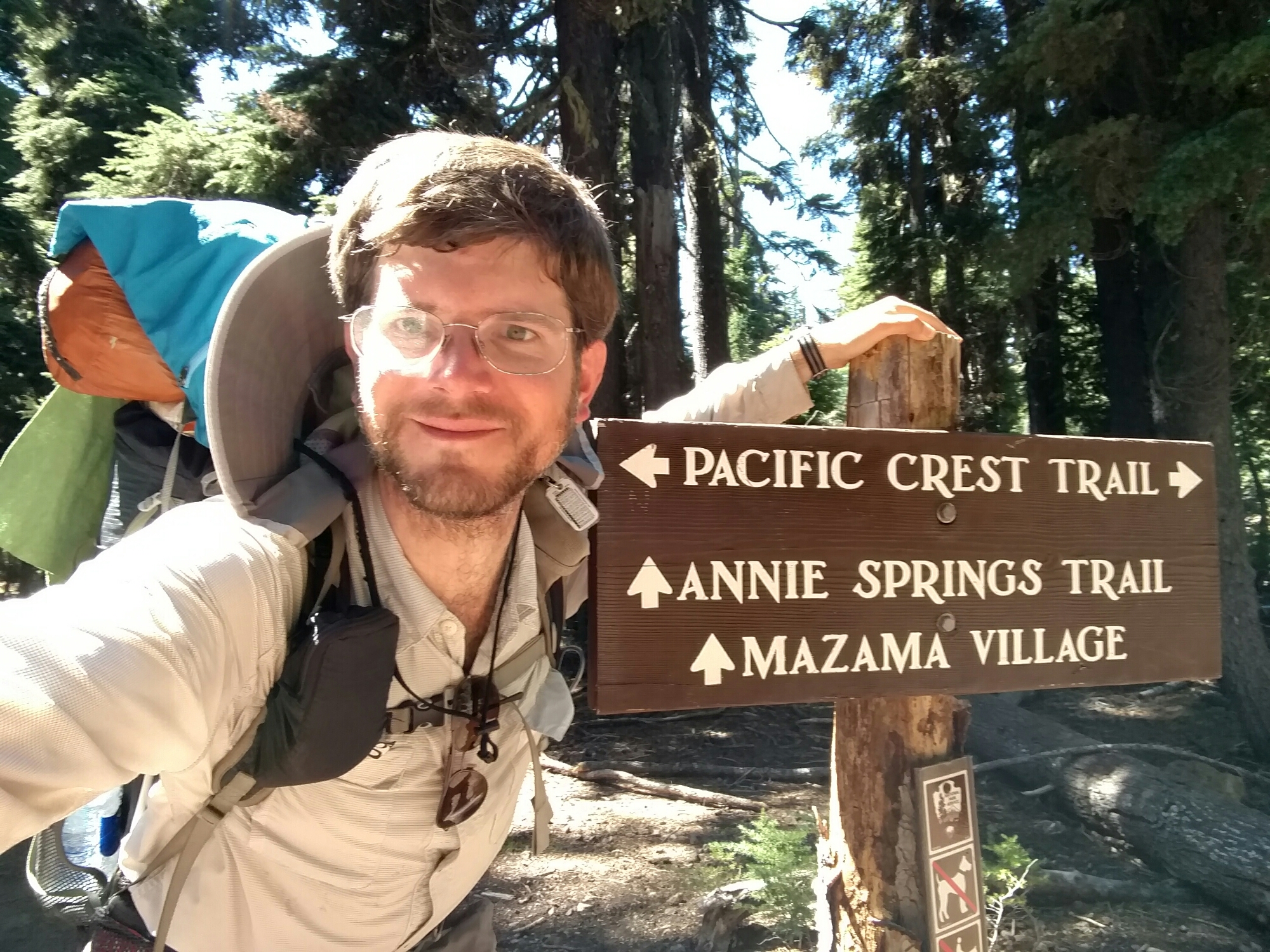
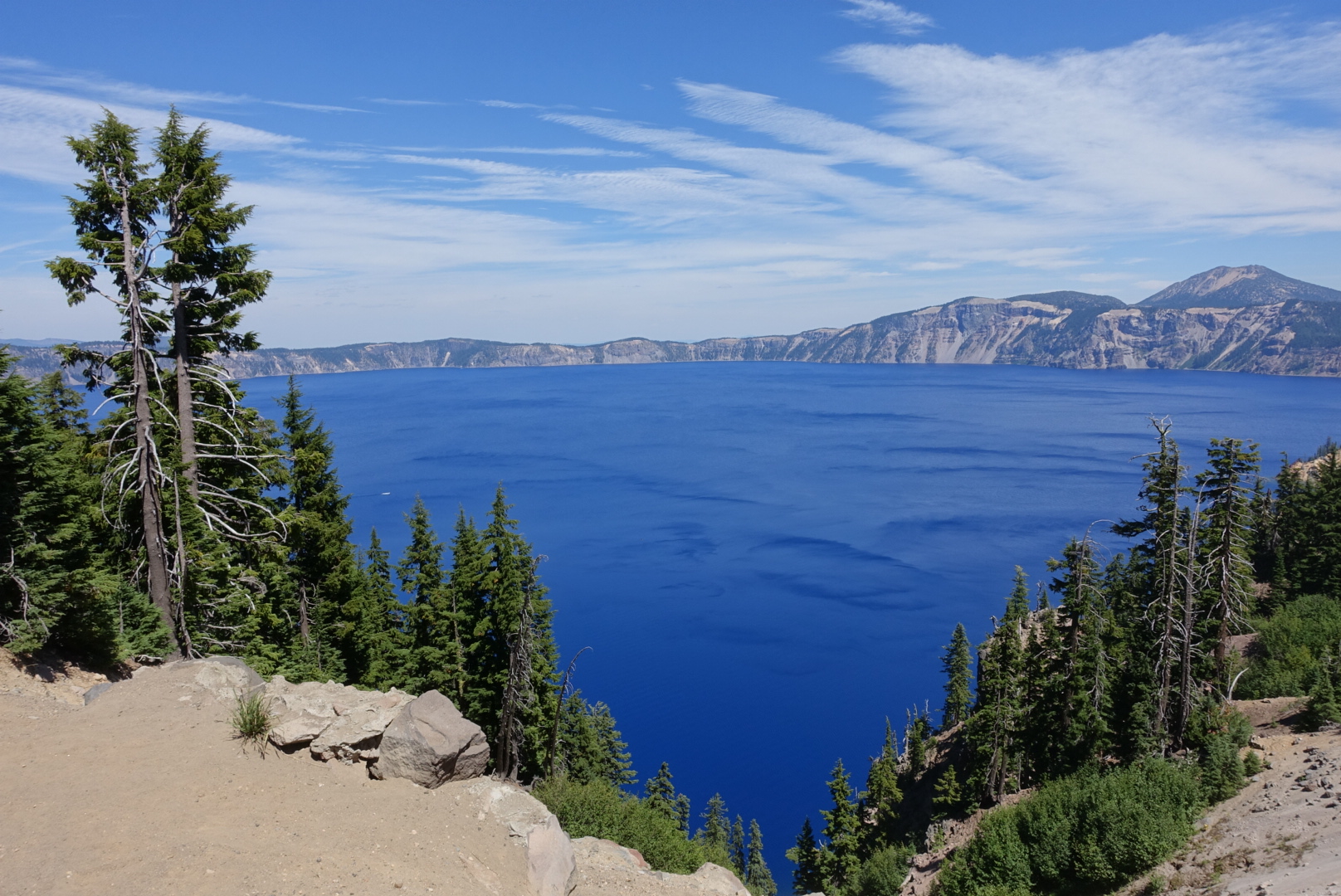
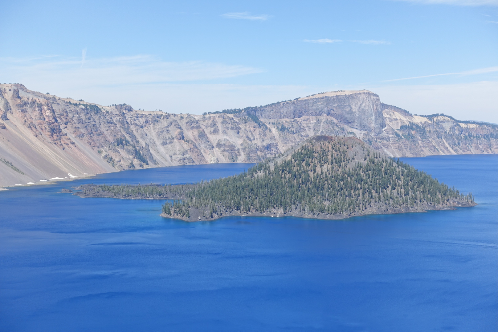
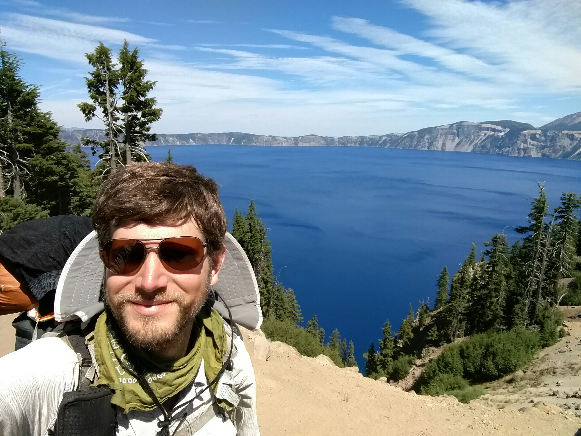
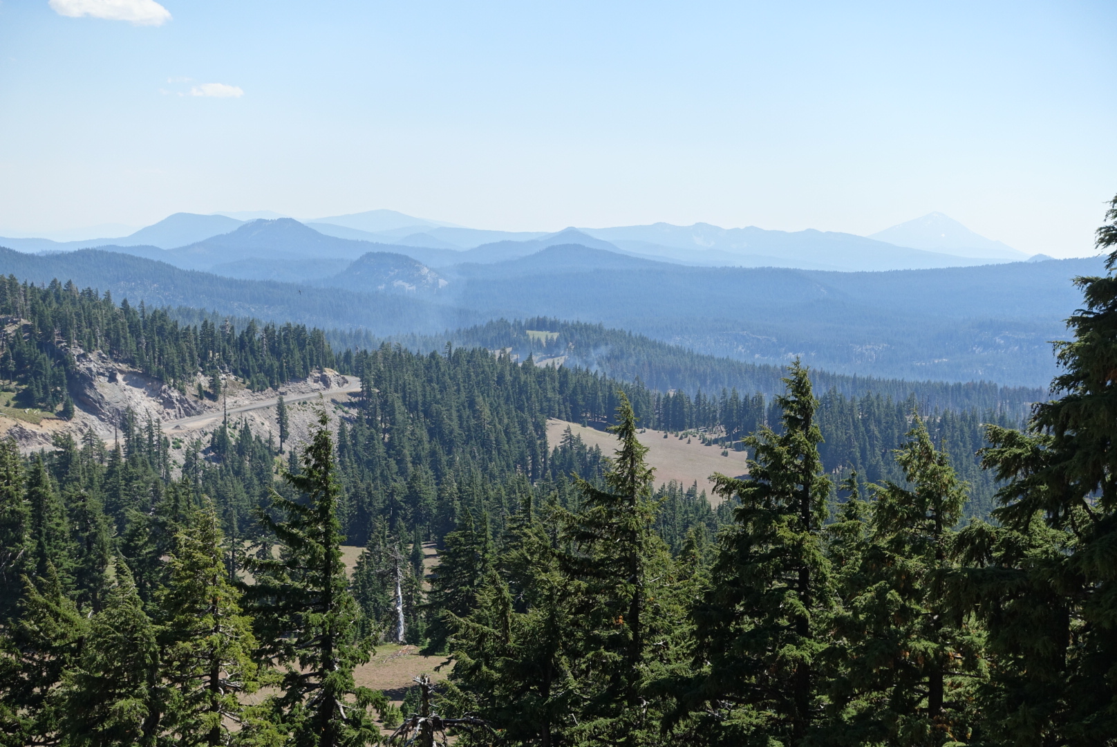
I’d be taking the Rim Trail alternate, which follows the rim of crater lake, and has great views. The official route is in the valley to the west, and is rather drab, but it can be used by horses, while the Rim Trail can’t. Most hikers take the Rim Trail.
It turns out, most hikers are right.

I came to a spot where the Rim Trail got separated from the lake for a bit, and the pleasant smell of a wood fire wafted up to me from the valley to the west. The Bybee Fire was still smoldering.
The trail rejoined the rim after going around a large rock pile, with a watchtower on top.
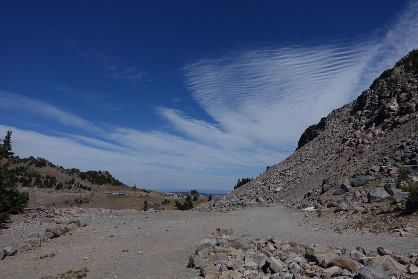
At the point it rejoined the rim, there was a developed vista point with a parking lot. This being a Saturday in the summer, there were many tourists there, taking pictures, parking, going to the port-a-potties, whatever it is they do.
On the way through the crowd, I was stopped by no less than 4 different people who wanted to talk to a real, live PCT hiker.
A man in his 60s wearing a shirt for The Who said it was an honor to meet me. A man my age in technical hiking clothes said he was thinking of hiking the PCT himself some day. And, unexpectedly, I saw Legend and Raven, a trail angel and section hiker (respectively) who I hadn’t seen for around 1500 miles. Legend ate my pizza crusts at Ziggy and the Bear’s. Raven pointed out that a pump I was fiddling with in the desert was known to be dry.

Soon after, the trail broke off from the rim for good, and rejoined the PCT. A long, dry stretch through flat, thin forests followed.
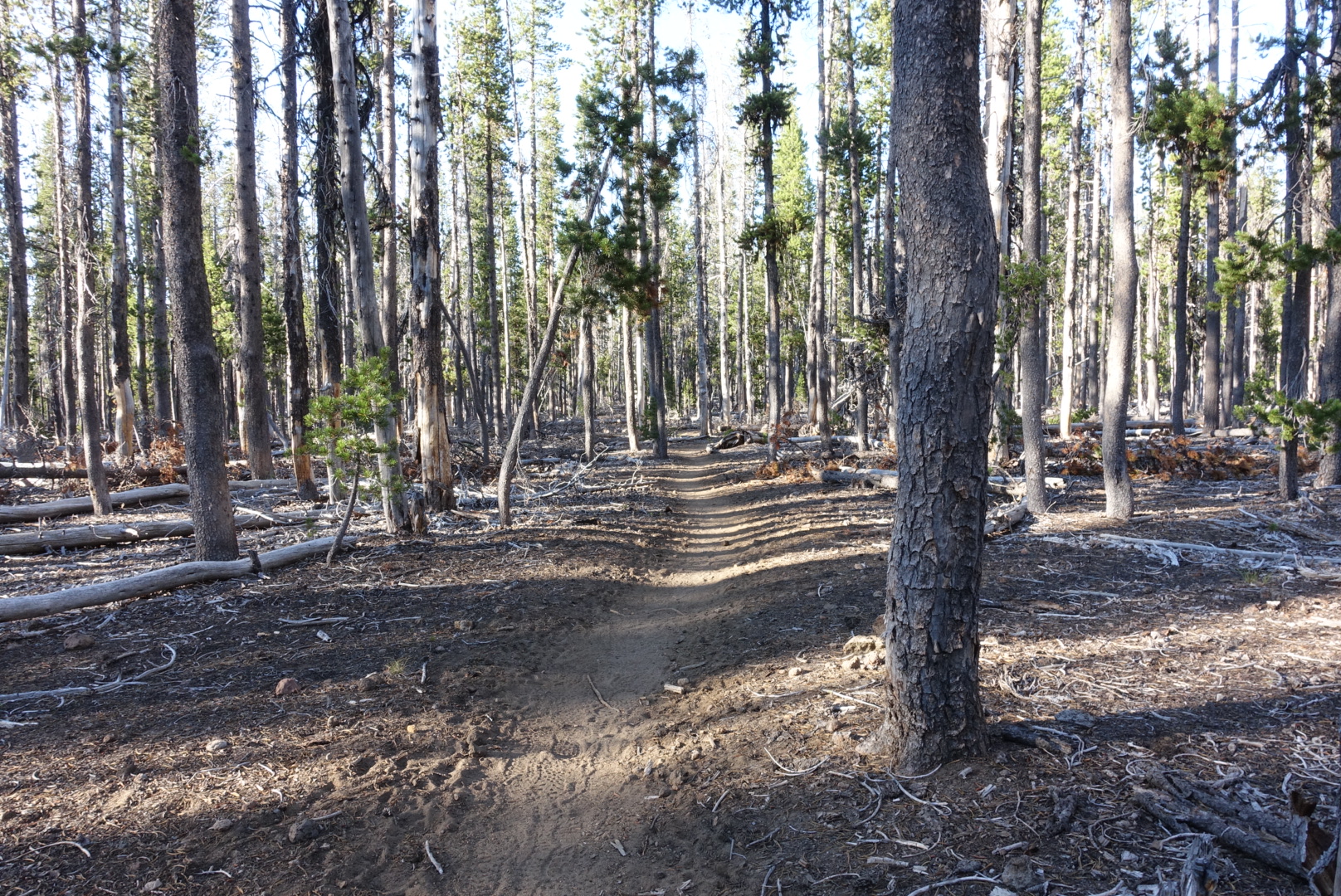
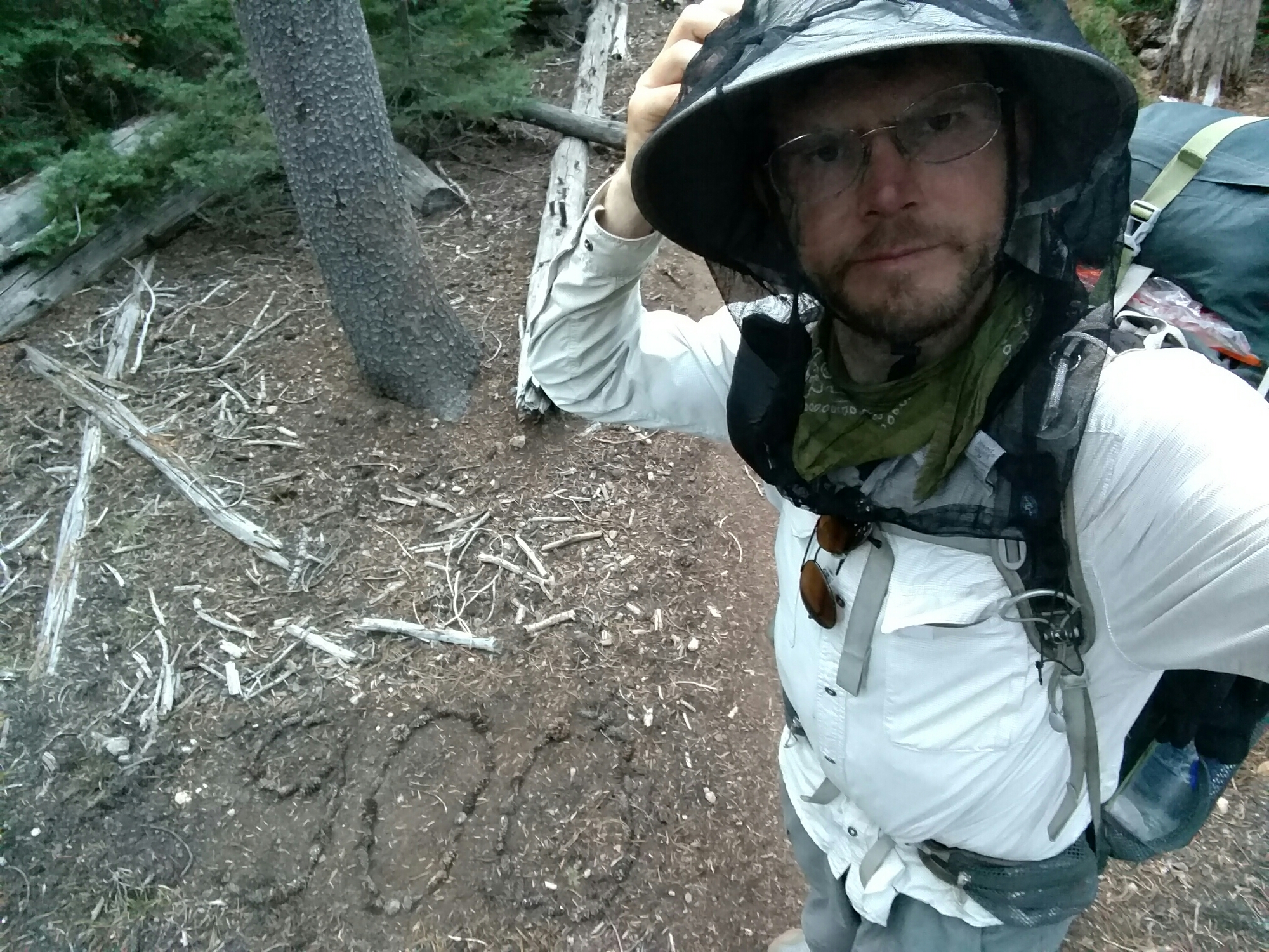
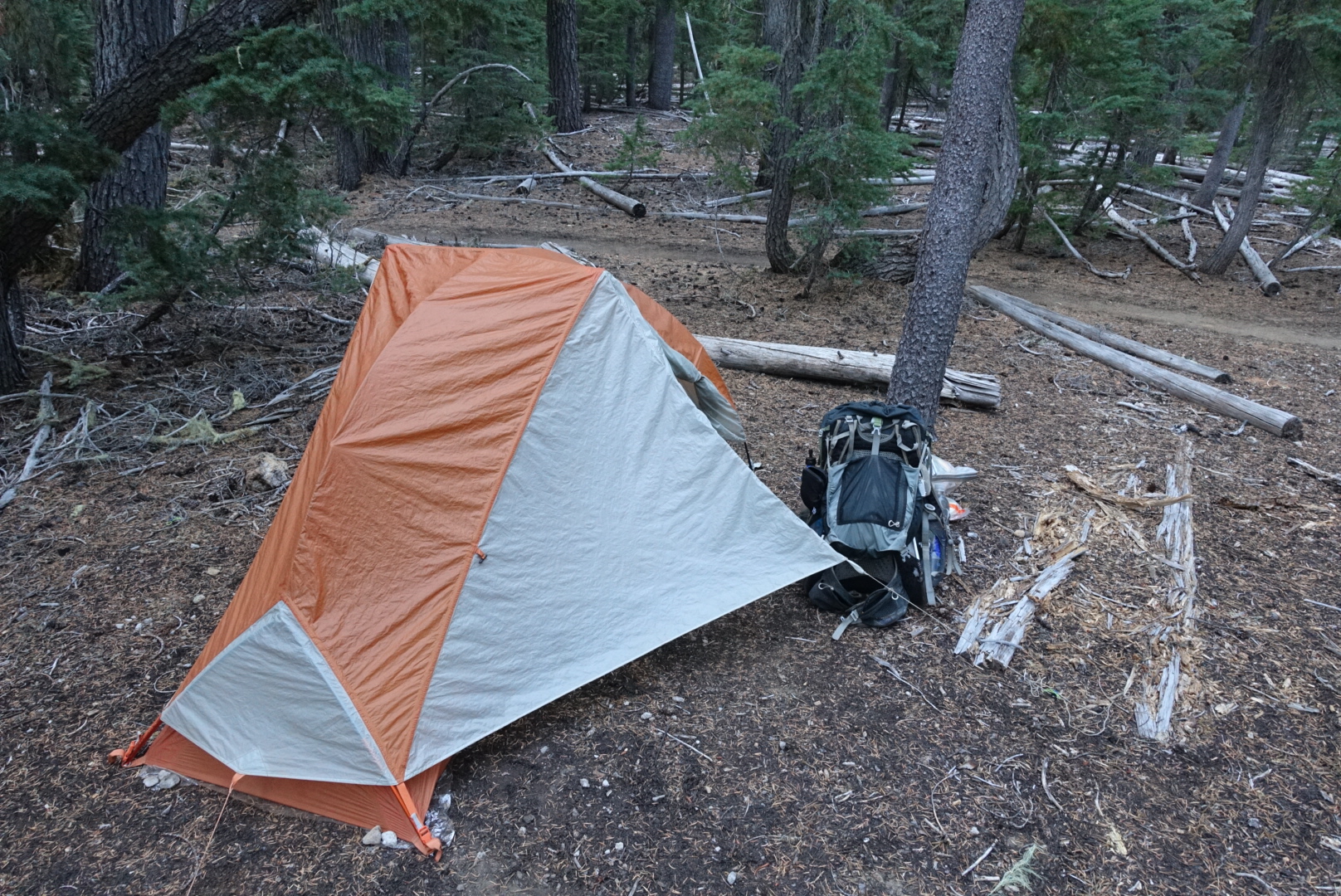
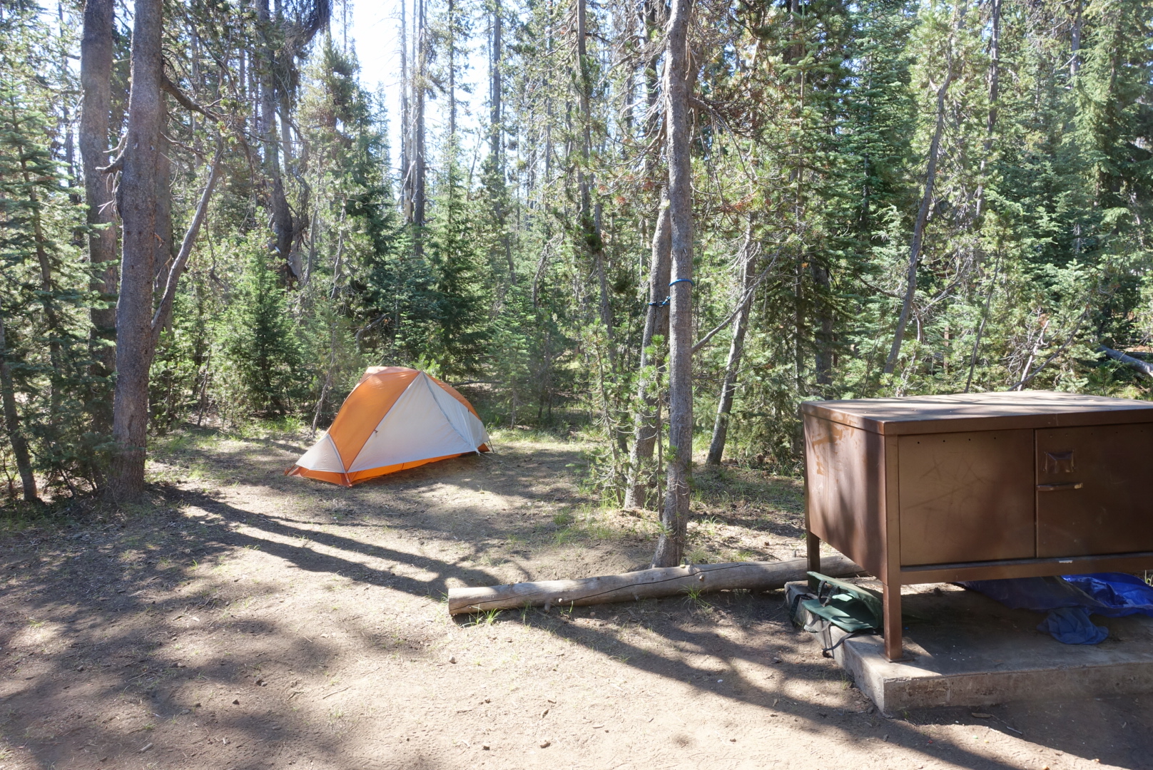
In the flat, sparse forest, nearly anywhere can be a tentsite, so I set up my tent at last, and went to sleep.
