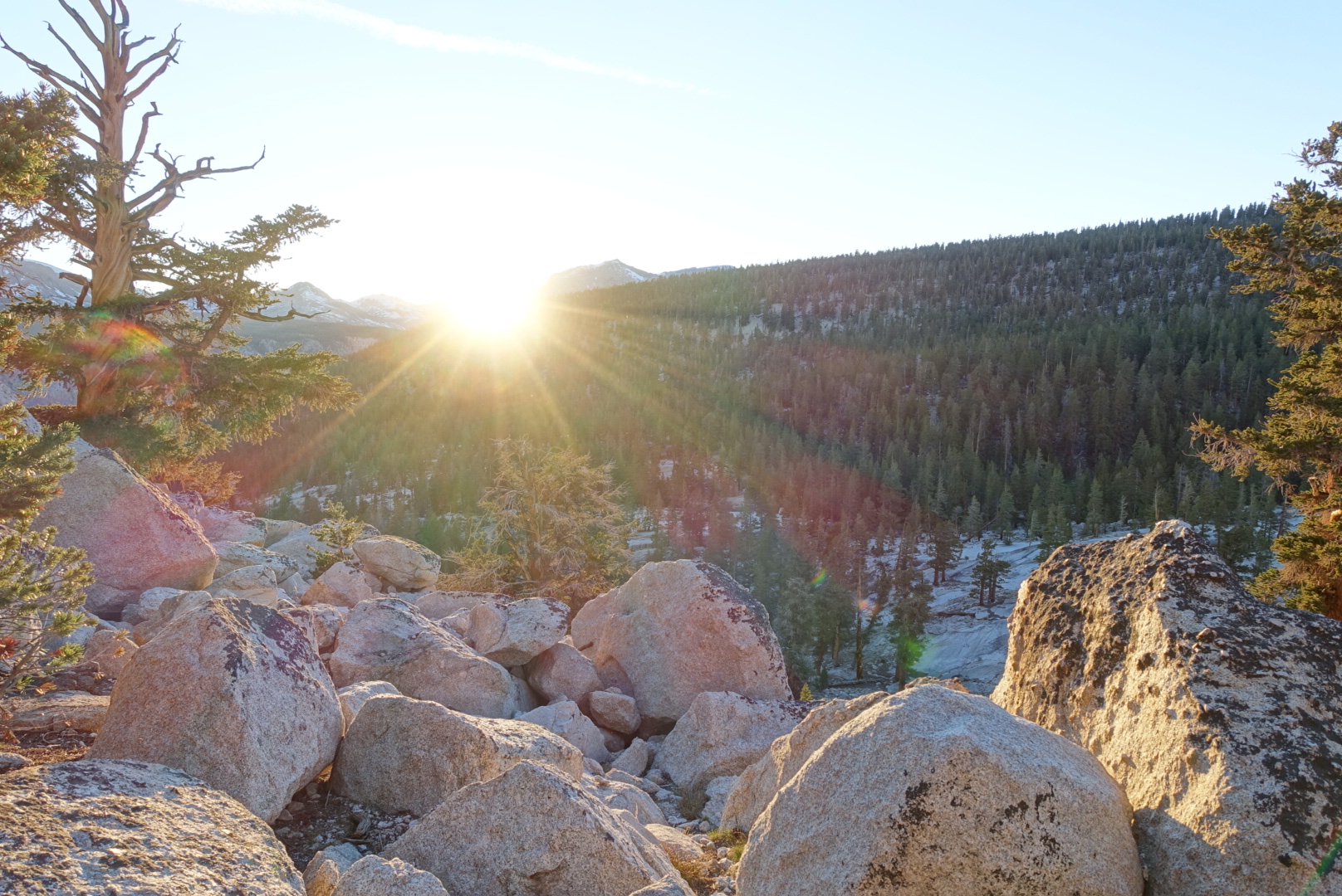
Crabtree Ranger Station Meadow to Upper Vidette Meadow – 6-20

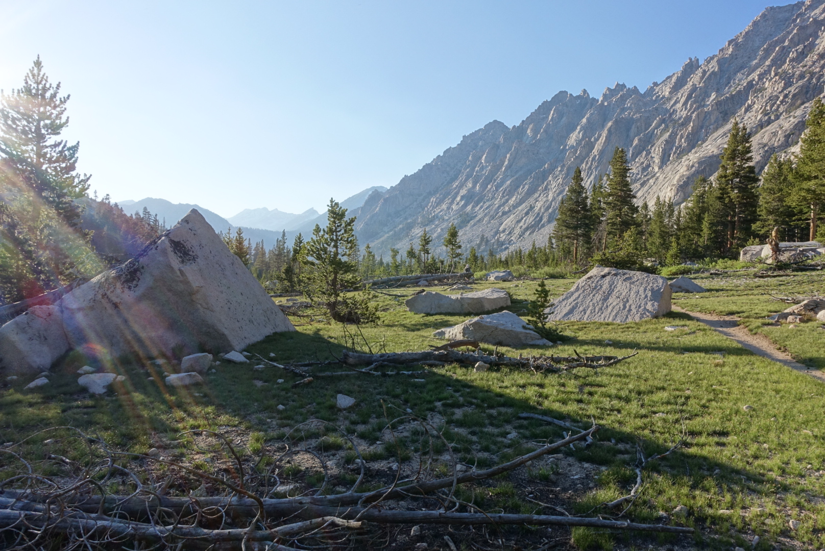
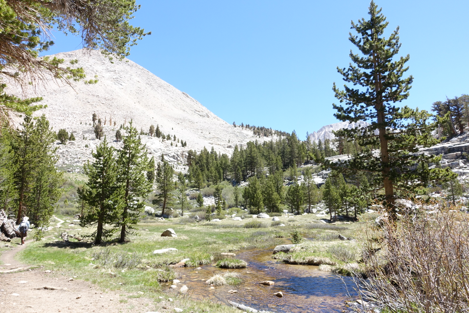
Last night was much warmer than the night before. We were at the same elevation, and this site is more exposed – go figure. Regardless, we were on the west side of a large meadow, so we got warm sunlight very early. Getting up was easy.
image
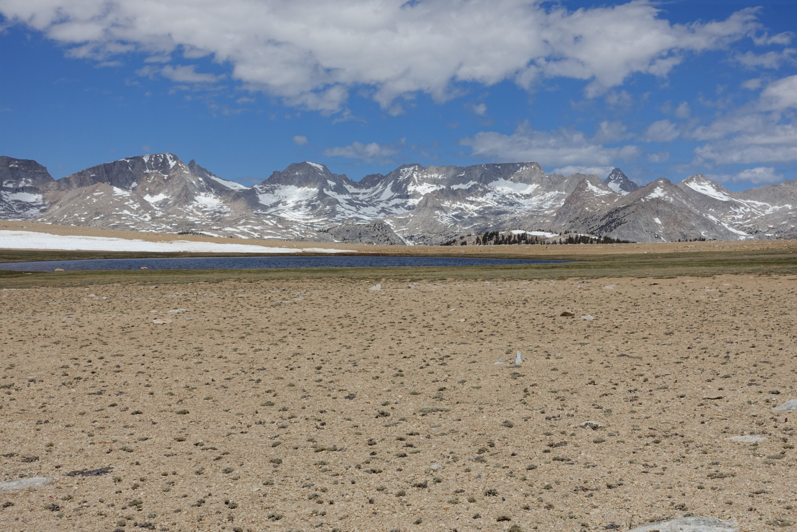
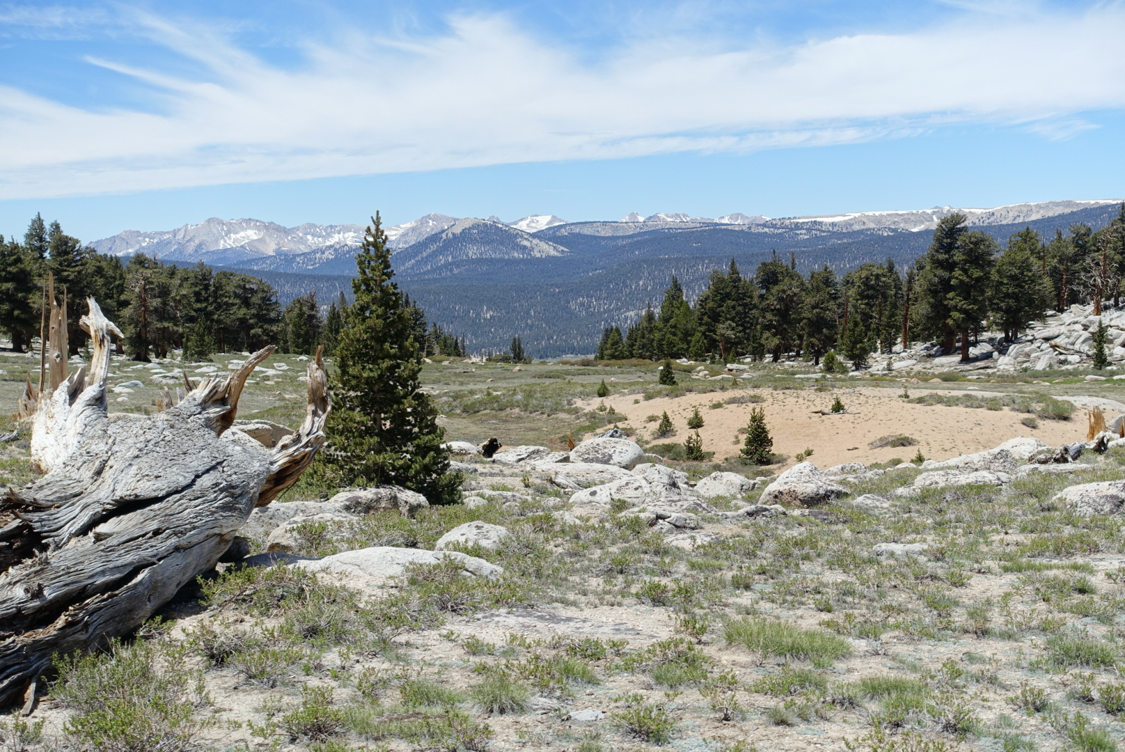
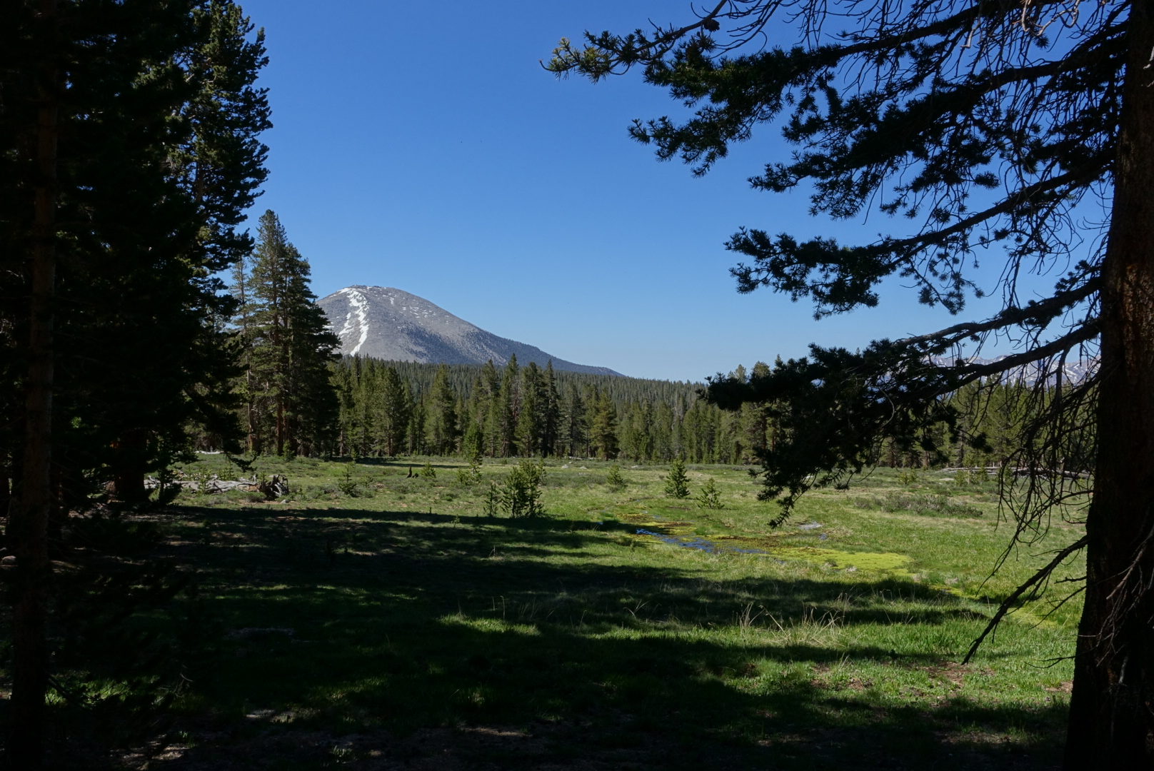
Morning near Crabtree Meadow
image
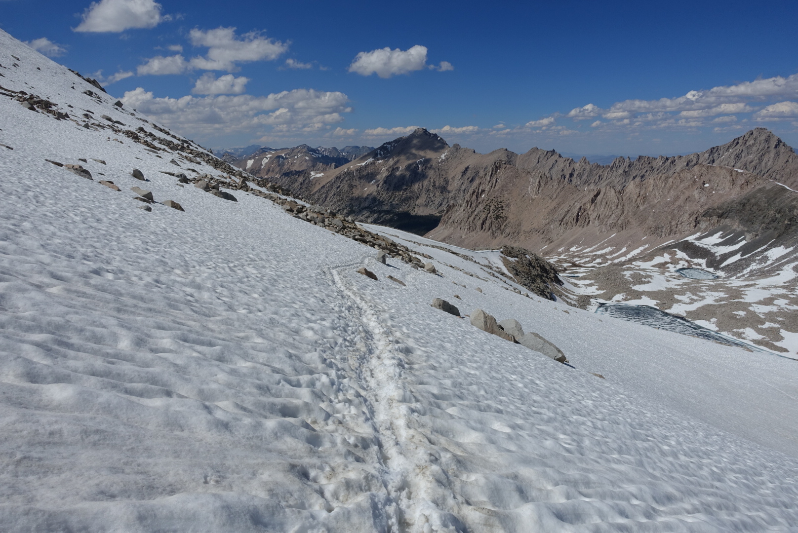
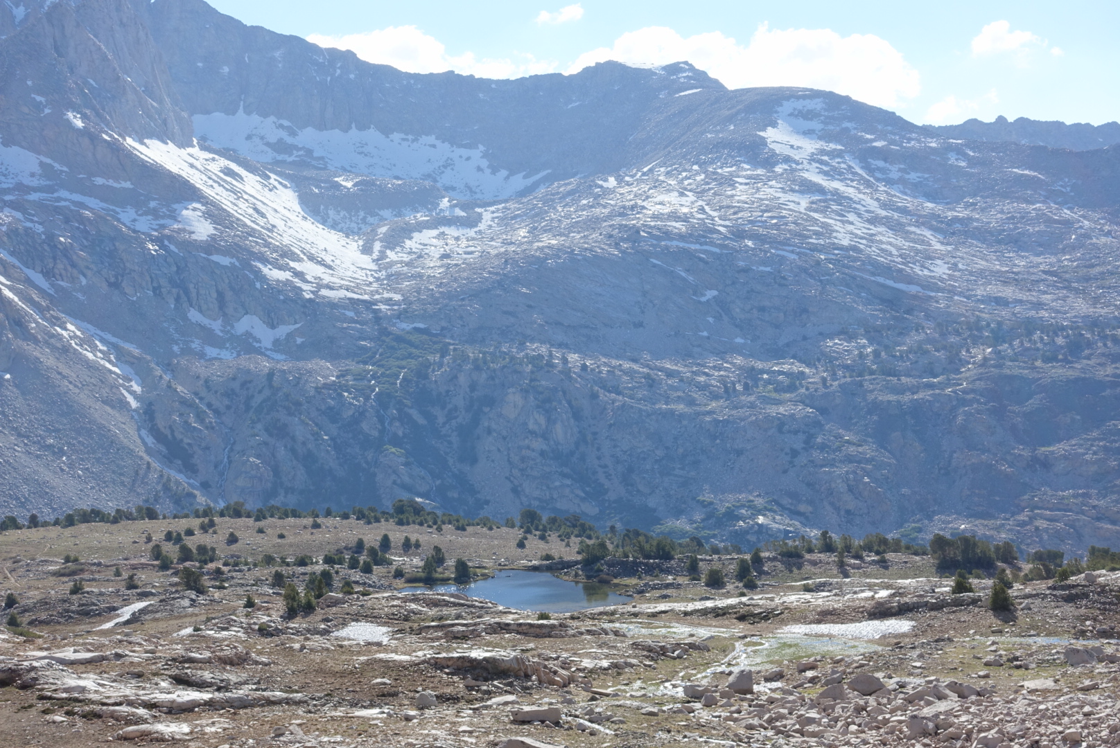
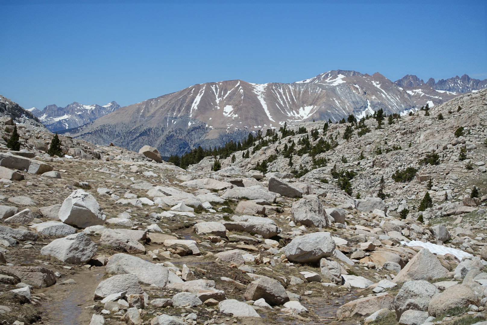
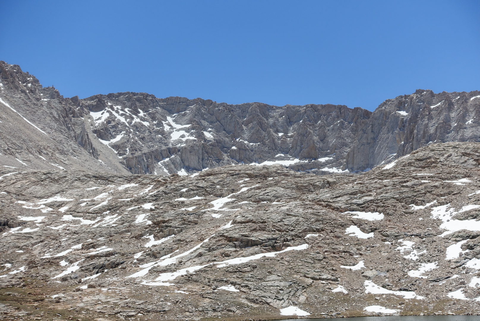
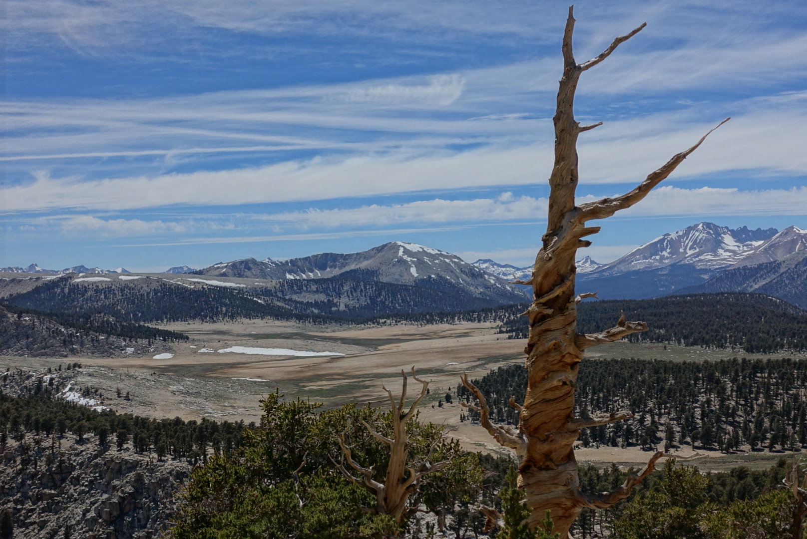
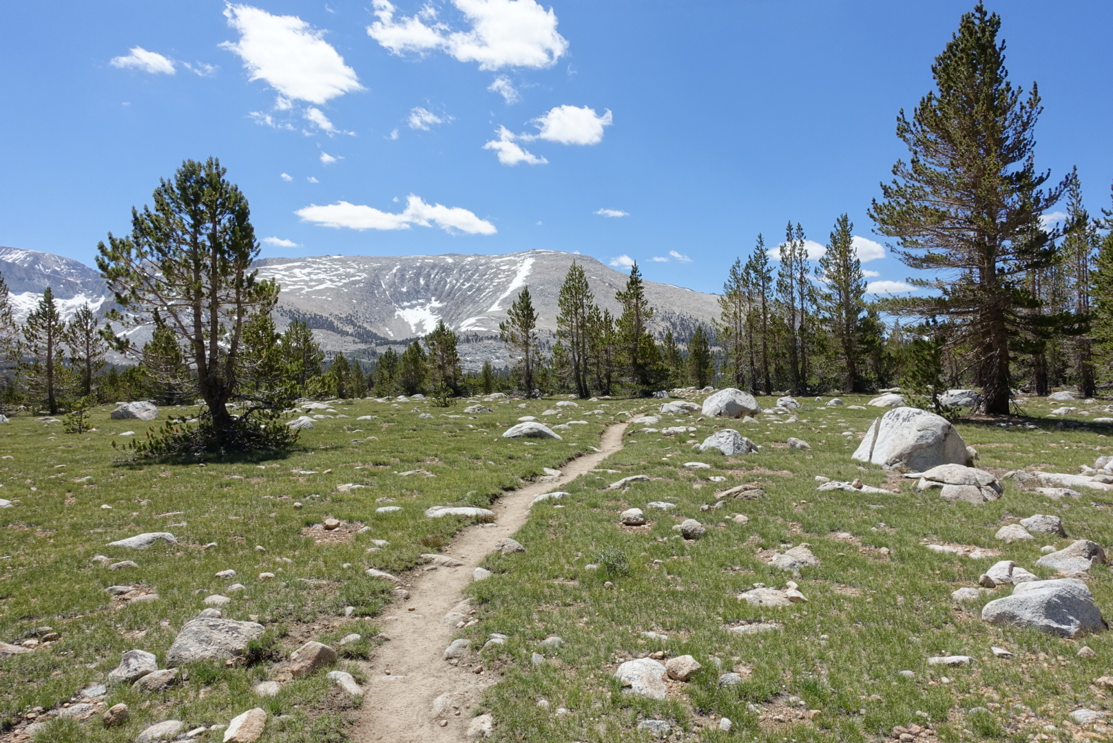
Stark terrain ahead

image

image
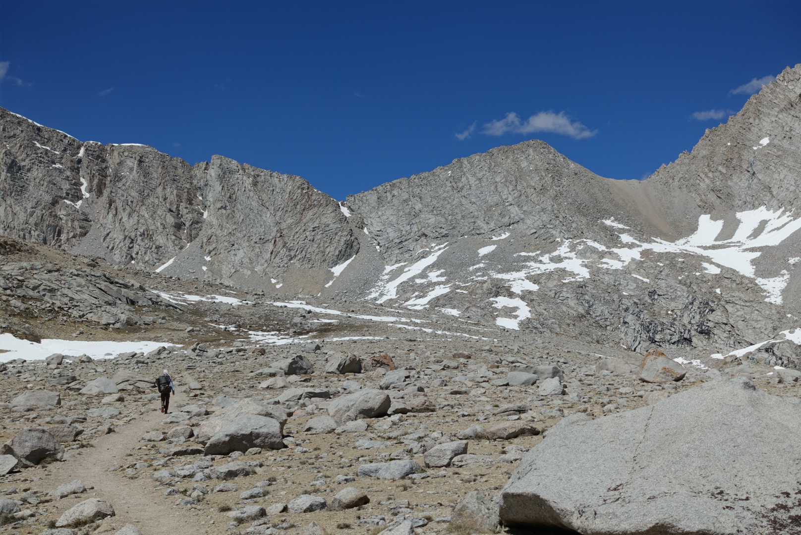
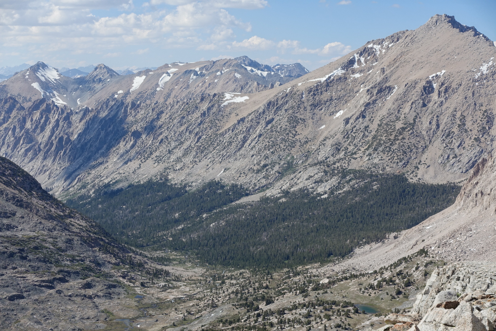
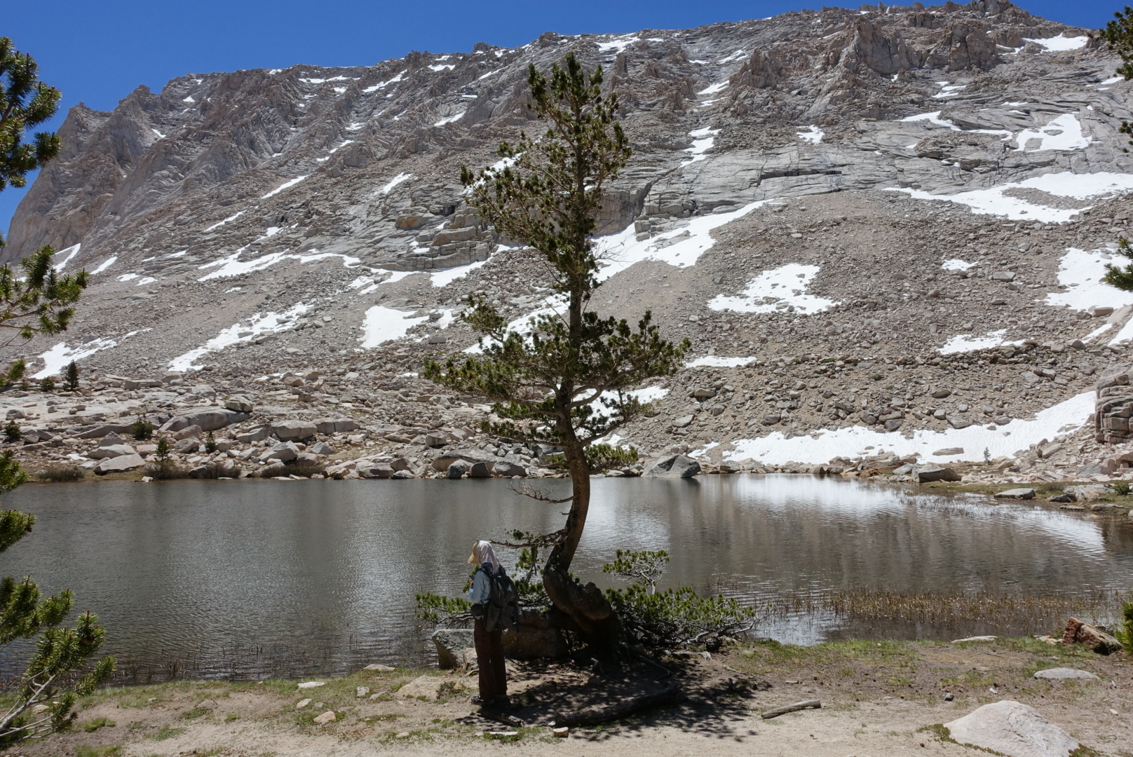
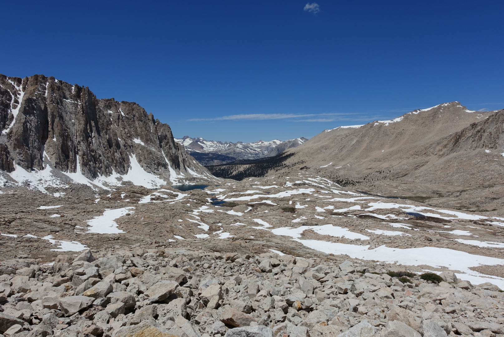
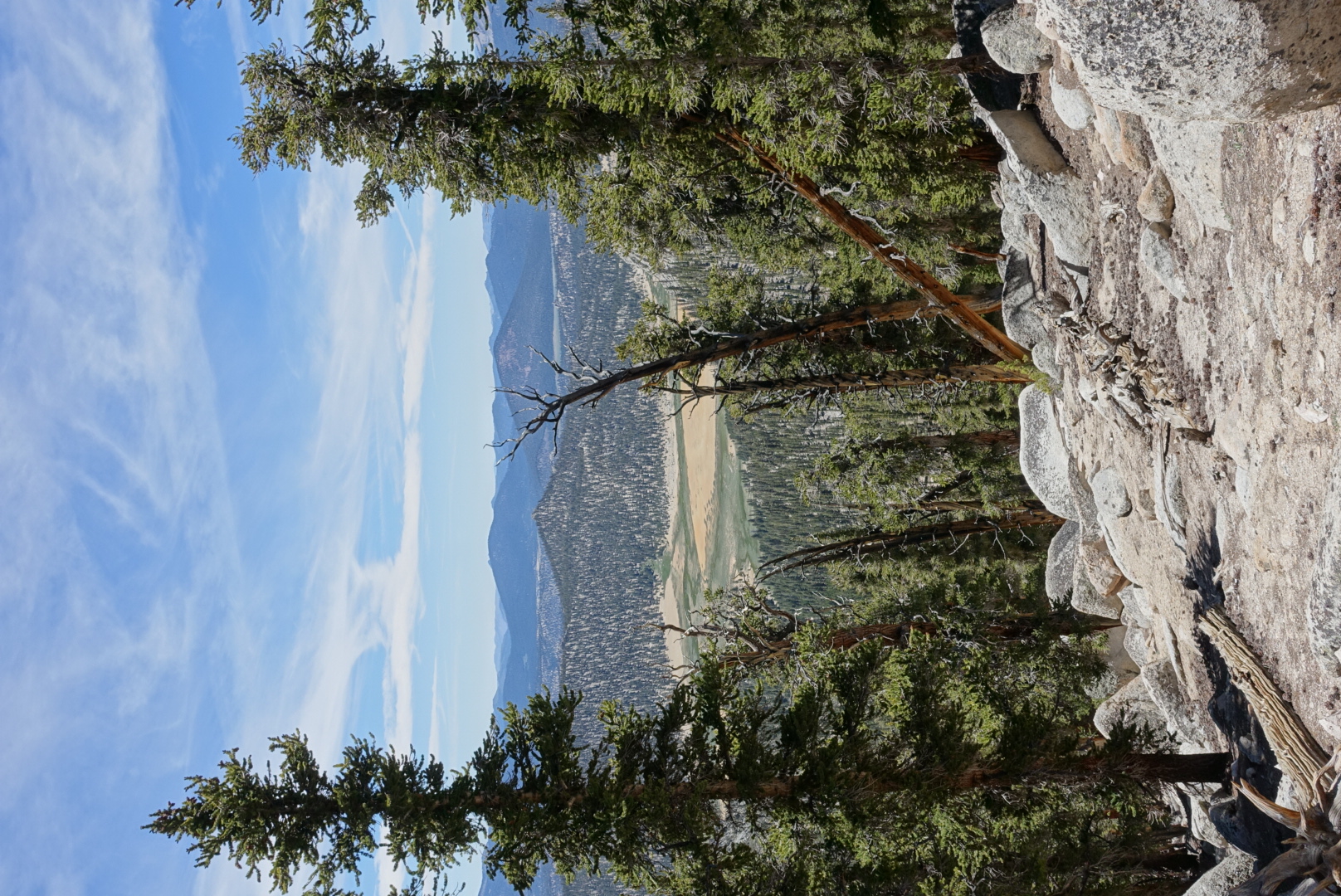
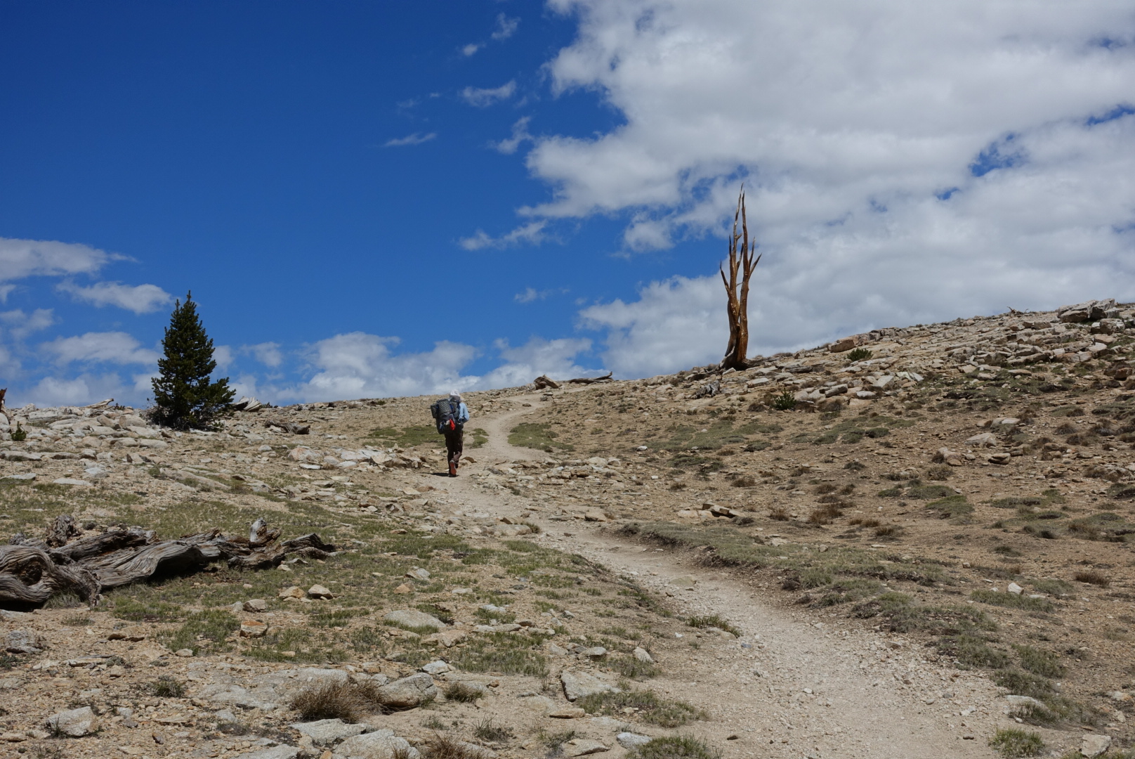
There was less and less vegetation as we got higher, even where there was ample water
image
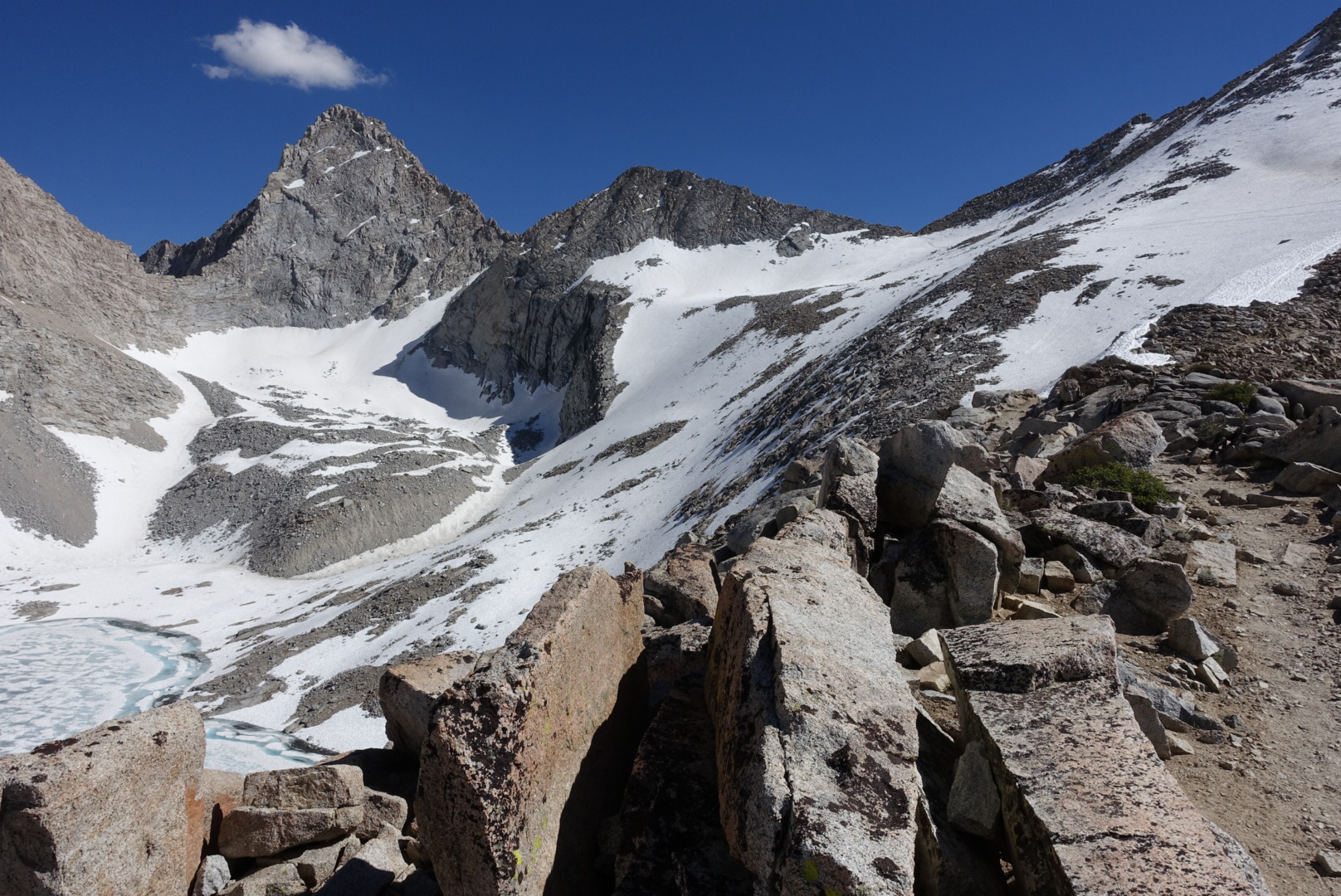
Dry rock everywhere
image
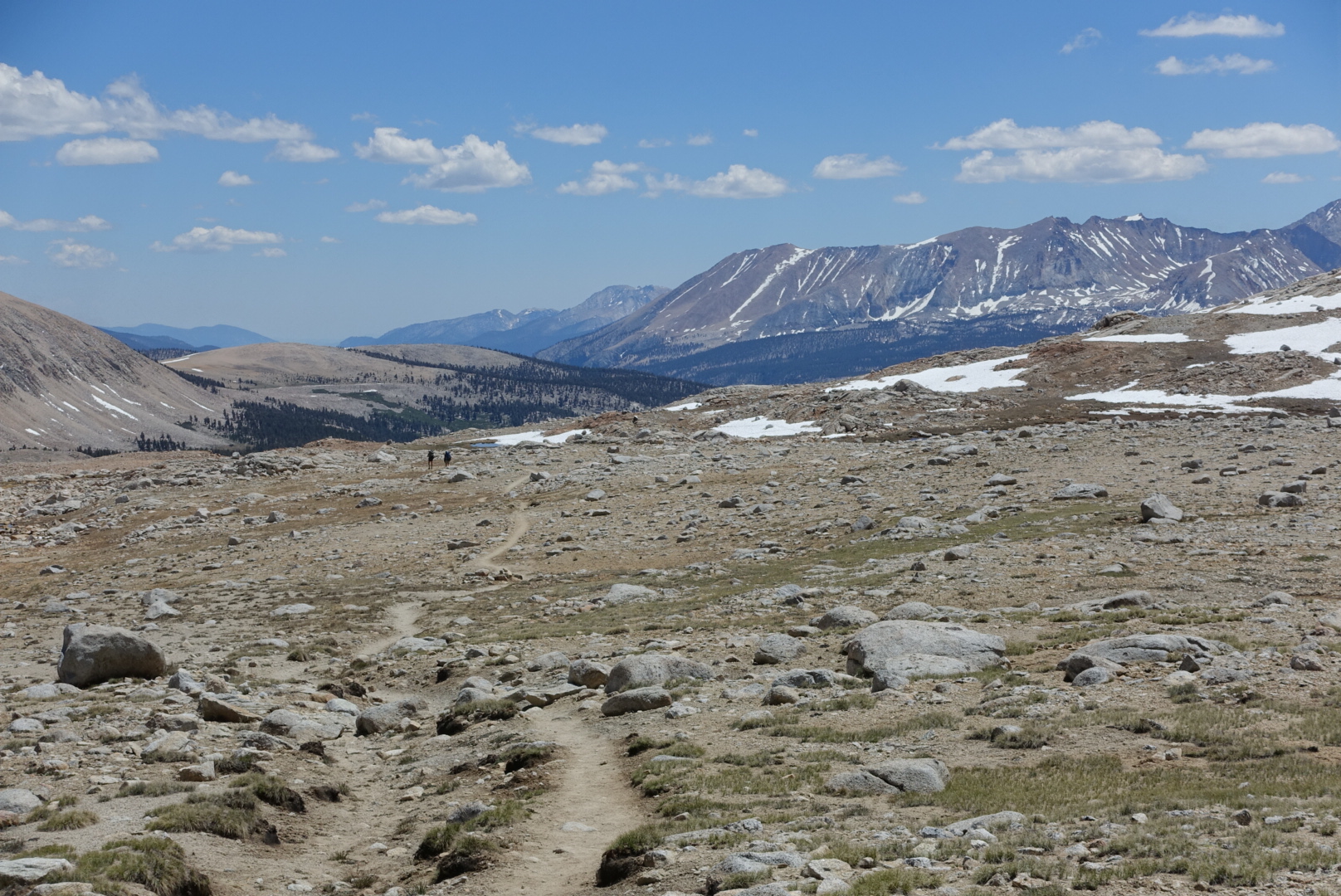
Note the two specks on the trail, for scale
image
This part of the trail looked even more desolate and Moon-like in 2013, since all the snow had melted by the time I hiked the JMT
image
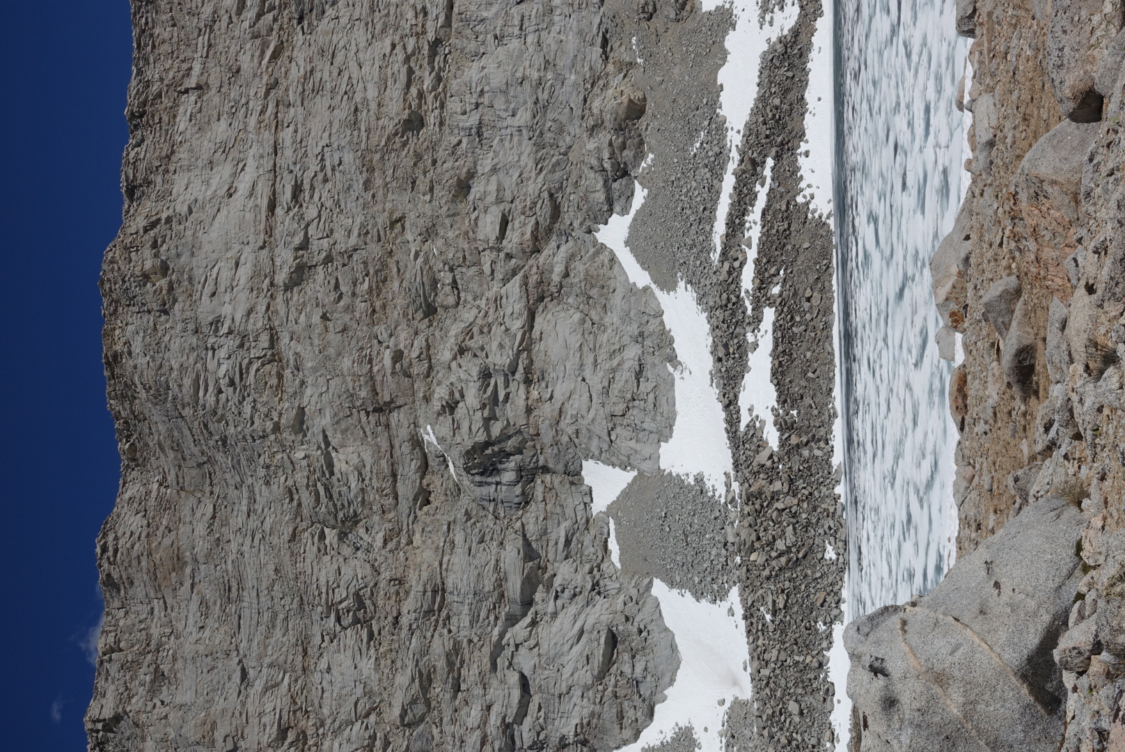
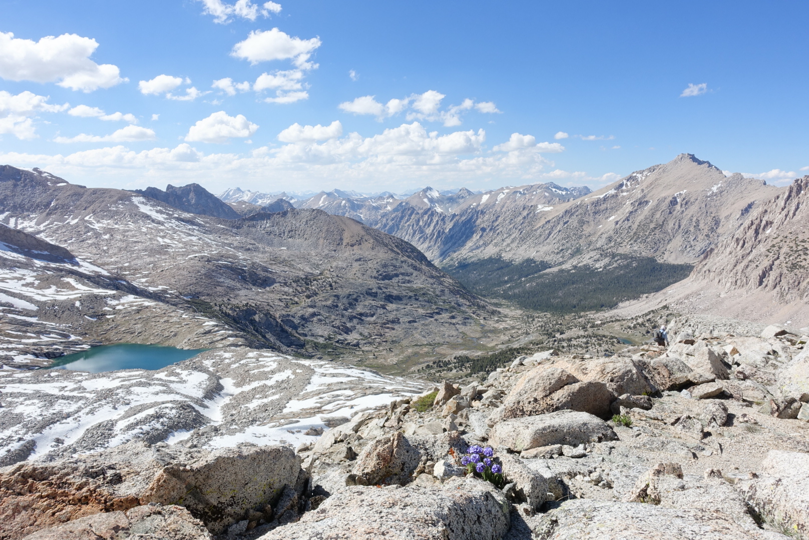
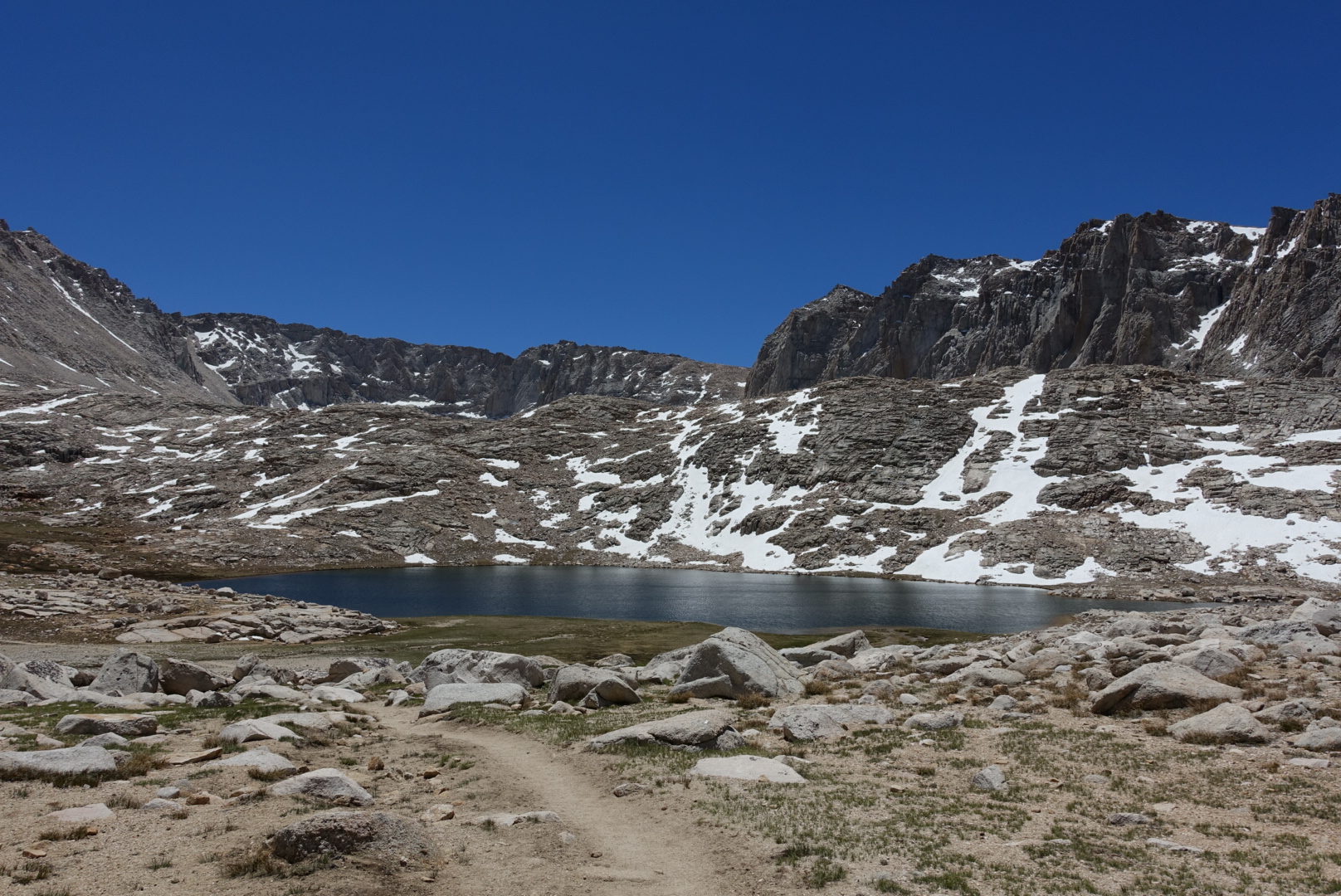
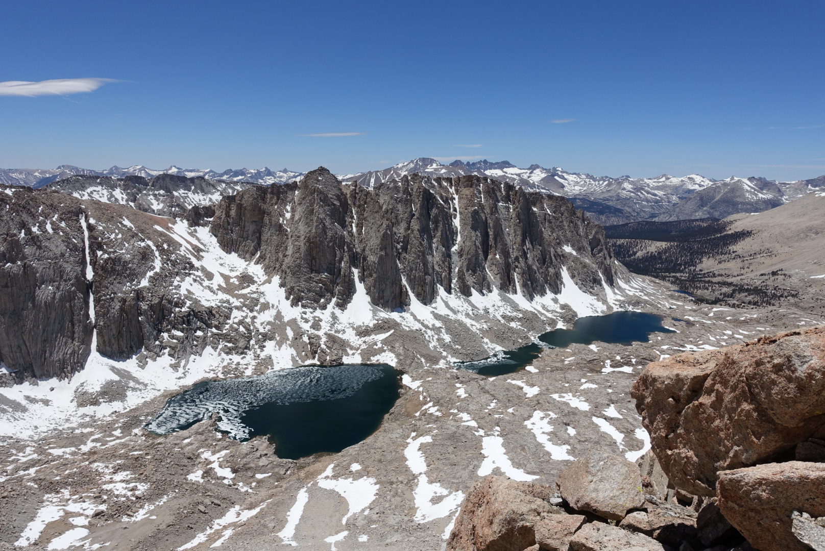
High-altitude ponds were on the border between ice and water
image
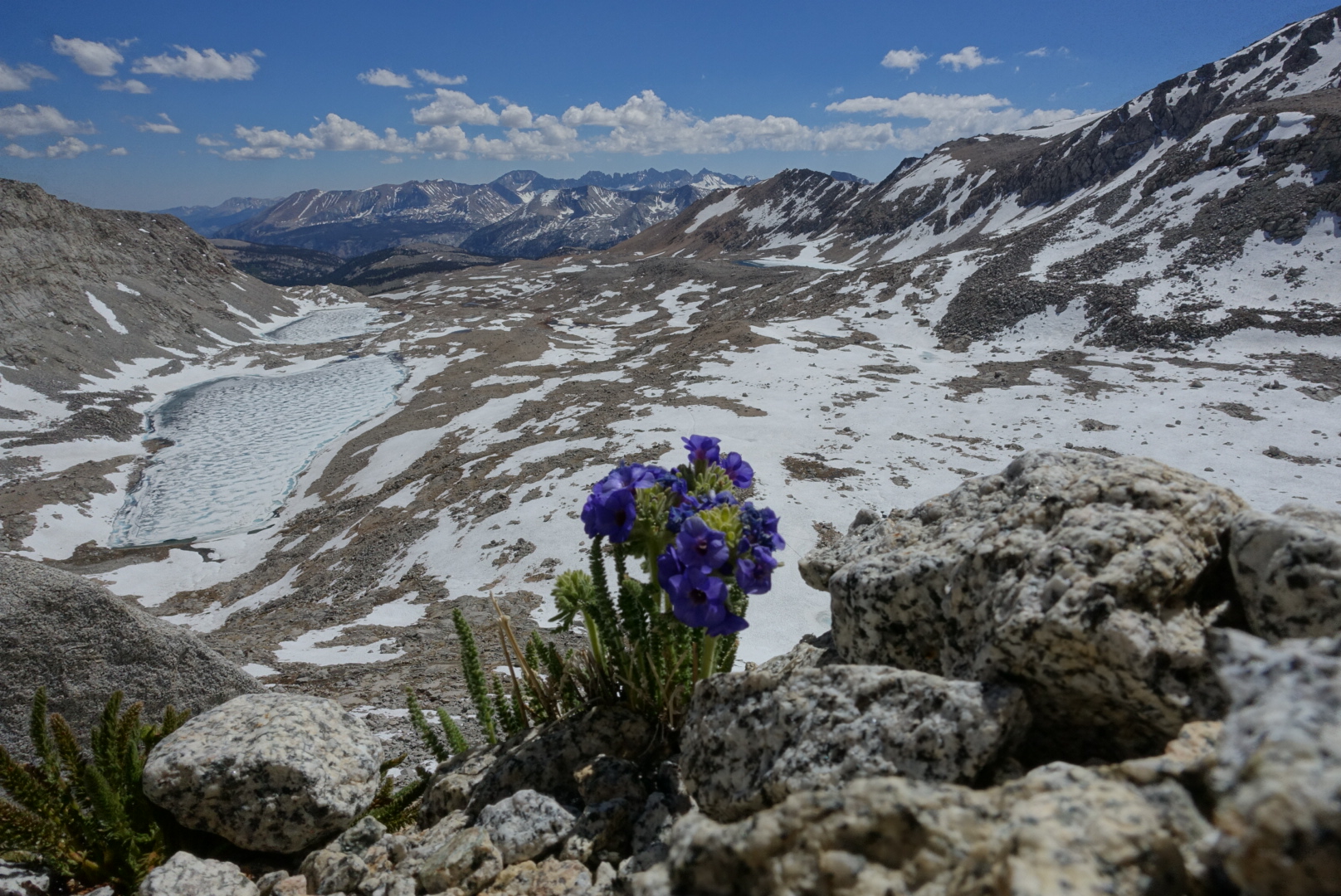
Despite all this, the occasional flower managed to eke out a living

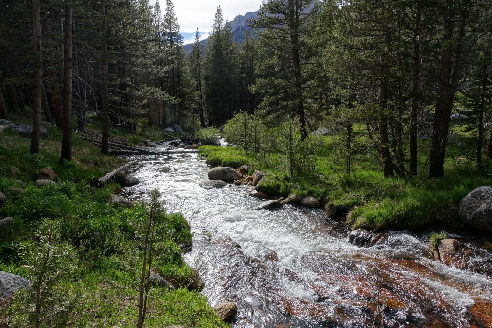
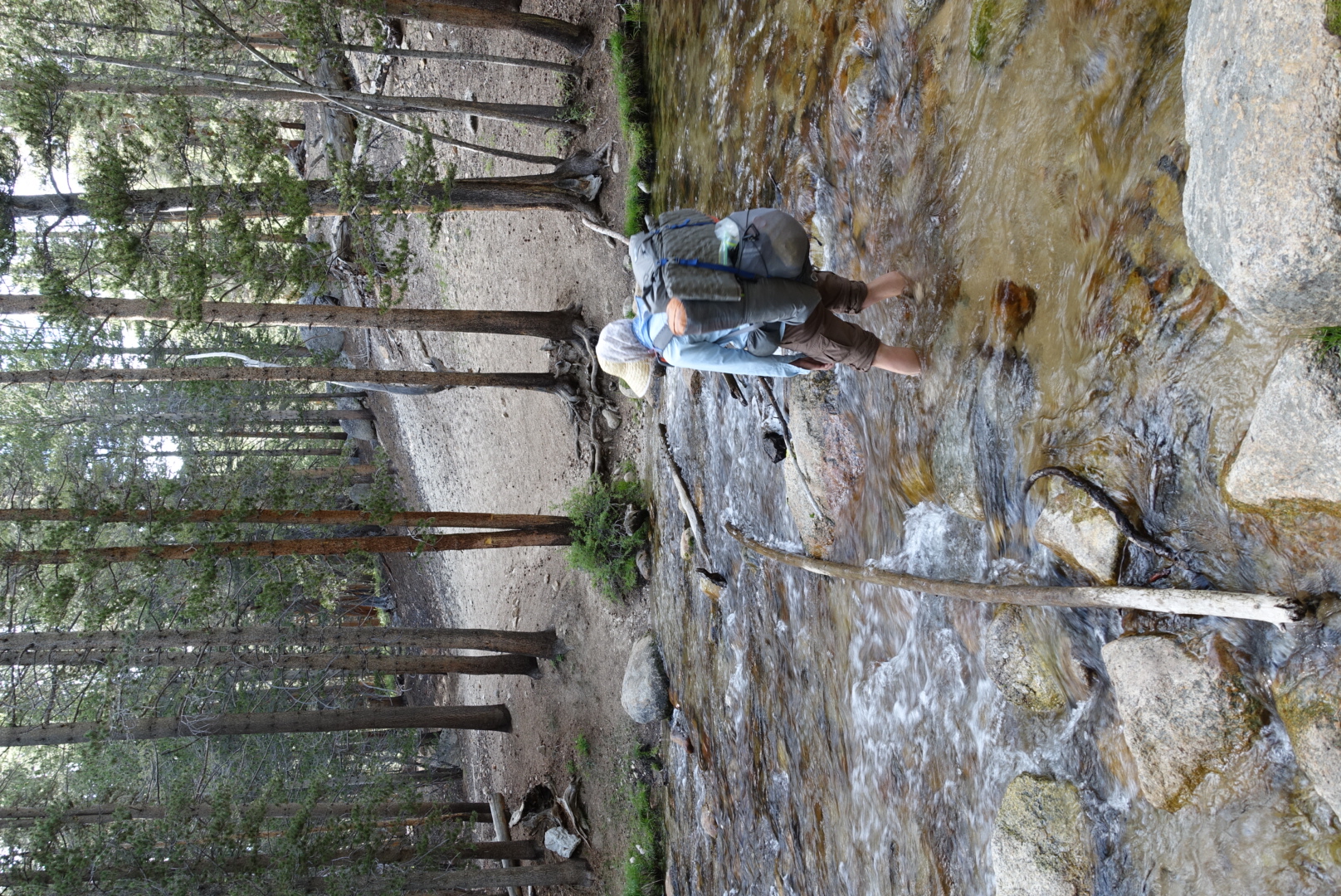
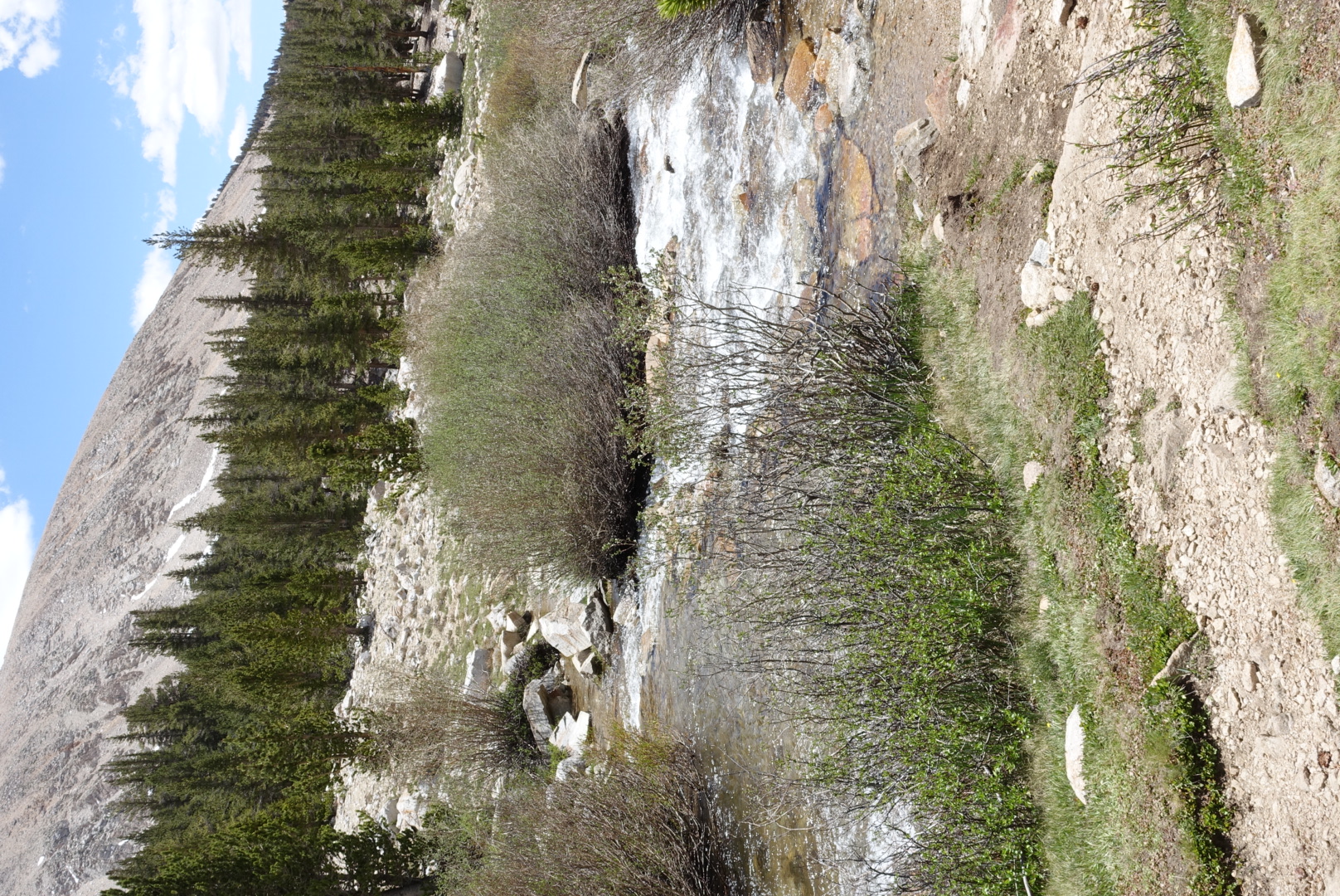
We had to ford three rivers today, but this was also surprisingly easy. Normally, people remove their shoes and socks before a ford, so that they don’t get wet. This takes a surprisingly long time, however (especially cleaning and drying your bare feet afterwards).

Today, however, the weather was warm, and the Sierra air is so dry, we just walked straight through each river — our shoes and socks dried reasonably quickly, though my feet pruned to a spectacular degree.
image
Ehh, why bother trying to stay dry

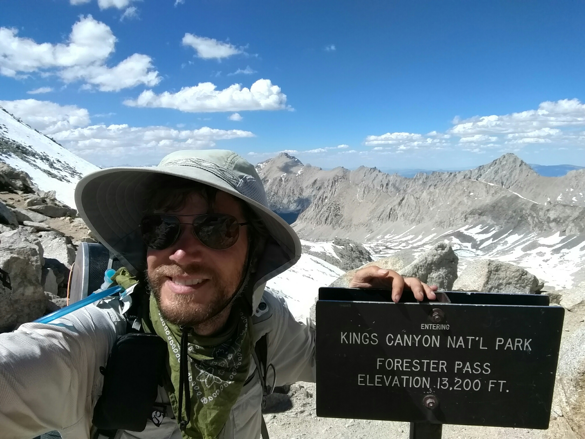
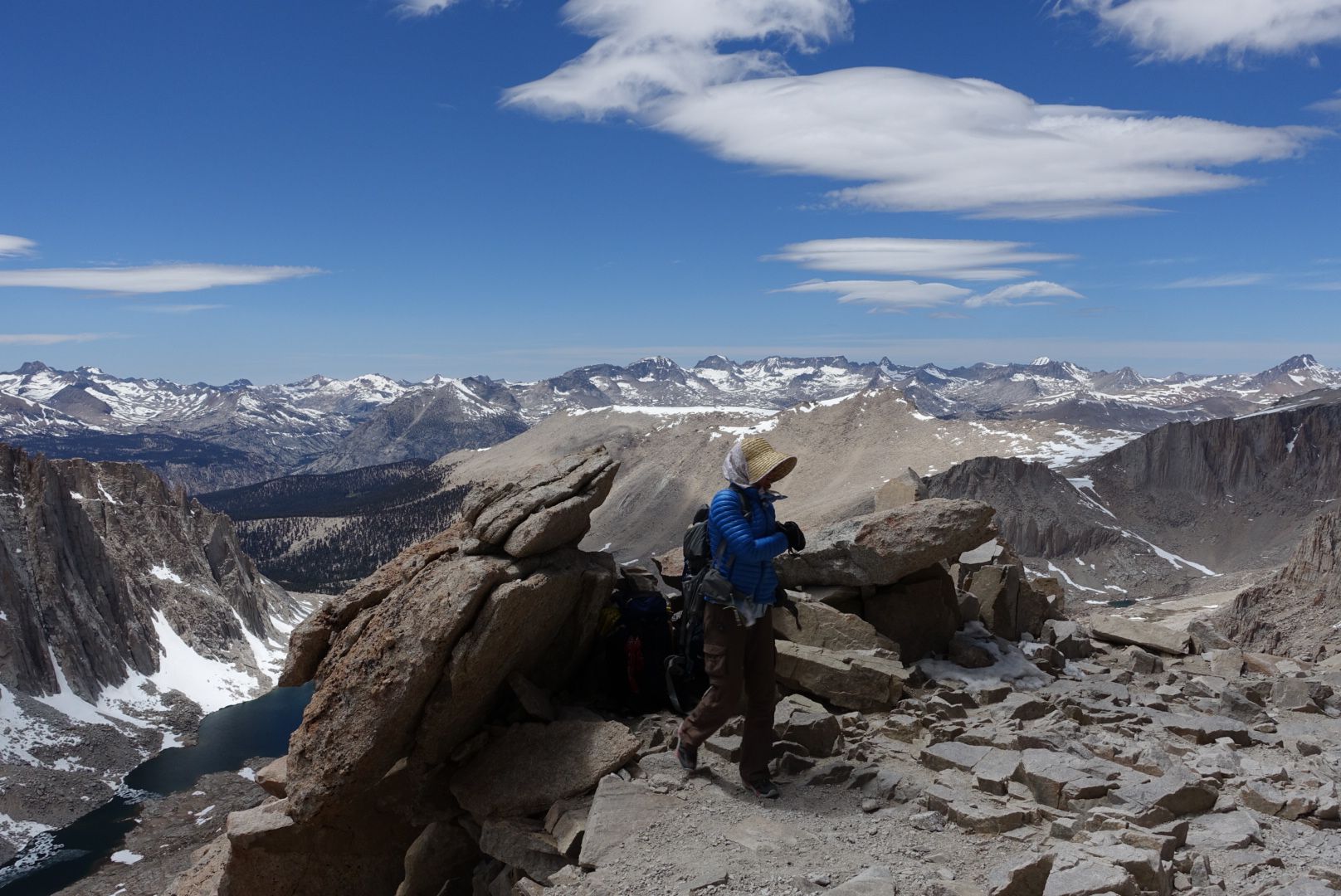
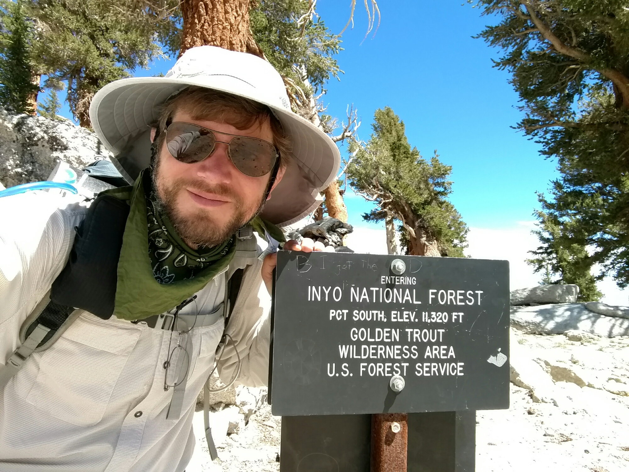
We had the first of our really high passes in the Sierras today — Forester Pass. At a little over 13000 feet, it’s the highest point on the PCT proper (recall that Mt. Whitney is near, but not on, the PCT).

It is recommended to go through the high passes in the Sierras in the early morning, when the snow on the ground is coldest, and therefore strongest. That would have required us to take a short day, though, and we didn’t want to do that. So, we would have to cross in the afternoon, when the snow would be slippery and easy to break through into the snowmelt streams below.

Surprisingly, this turned out to not be much of a problem. The snow was a bit slippery, but never put us in real danger. I just got my feet a bit wet.
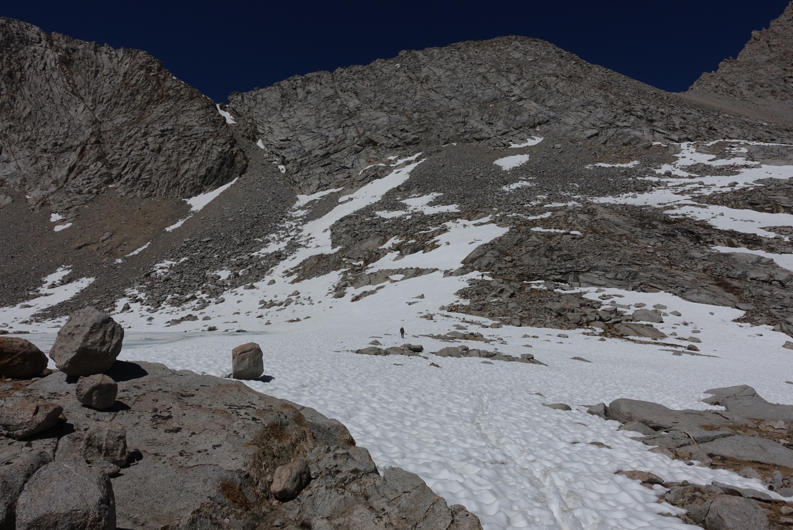
image
Elizabeth is the dot in the middle
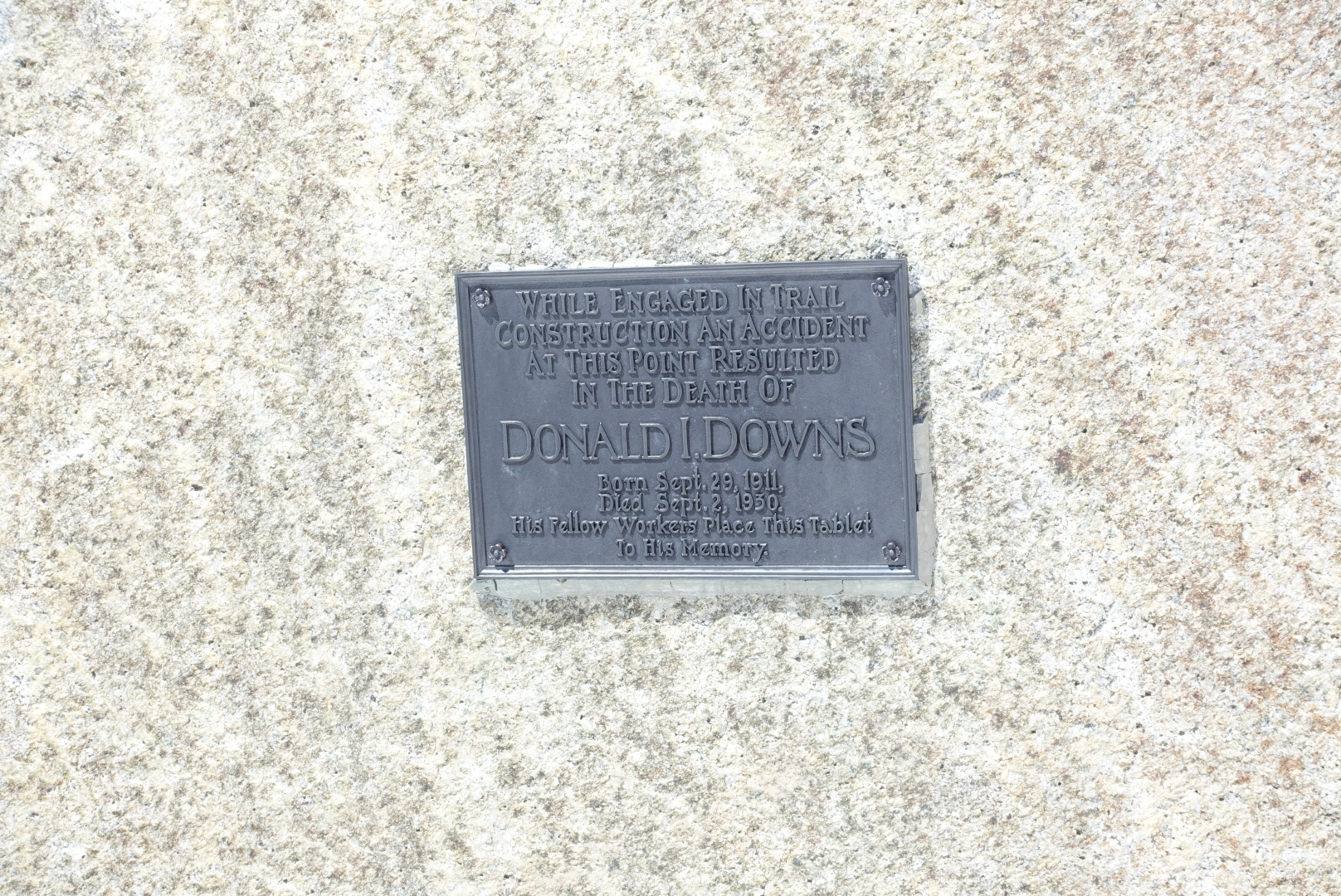
image
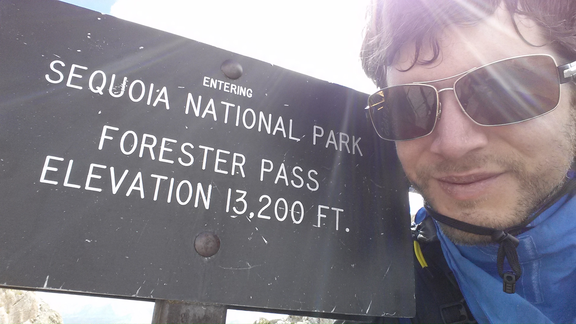
Granted, this placard was not encouraging

The pass itself was steep, and the climb was tough. But, I’d been through here before on my JMT hike, so I knew how hard it could be.

The top was the same as before — just with snow this time.
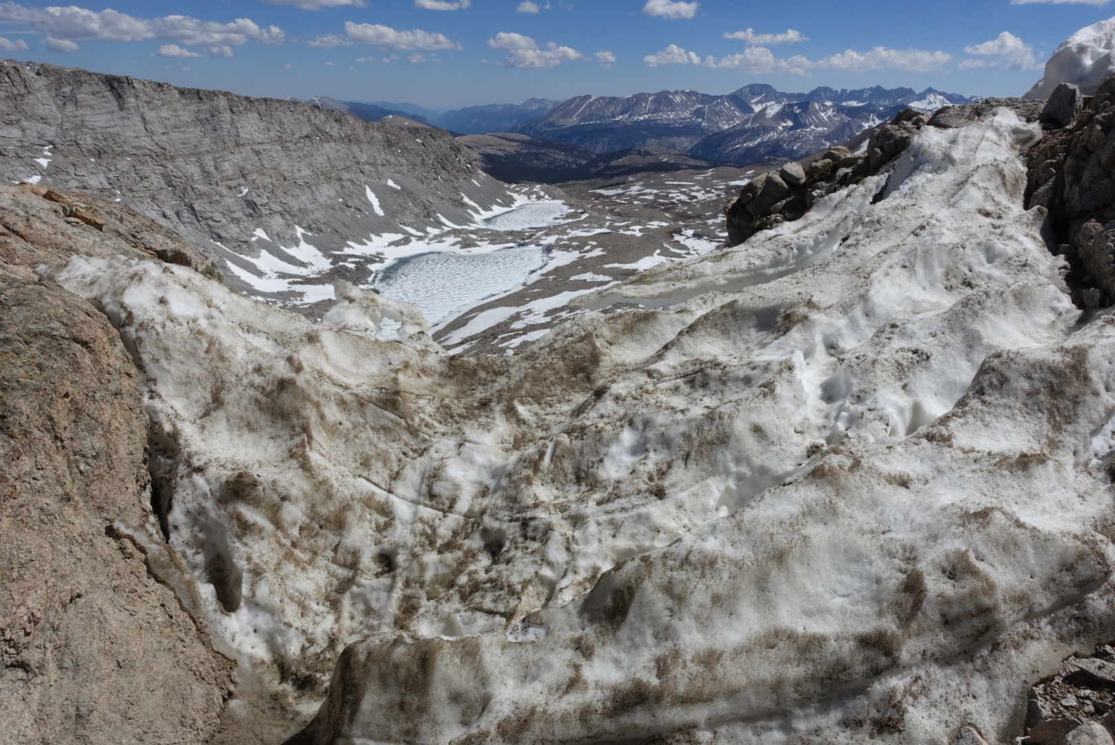
image
This snow deposit blocked the trail at the very top of the pass. People had worked out an alternate around it.
image
Forester Pass, in June 2016
image
Forester Pass, September 2013

image

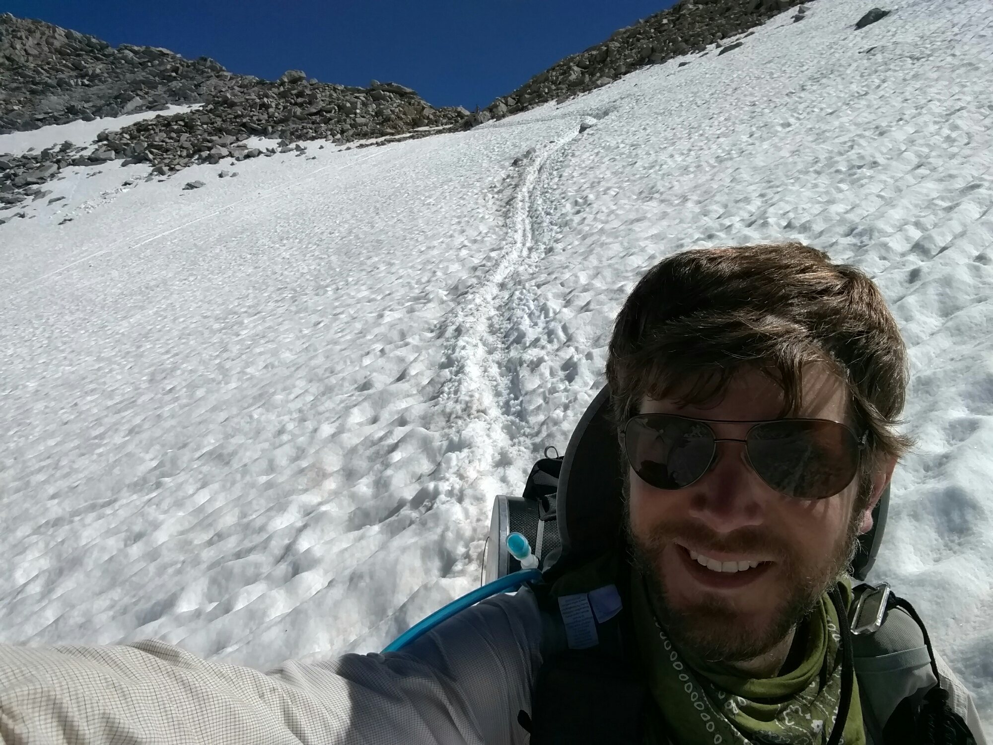
As we descended from the summit we had our first opportunity to glissade — to sit down on the snow, and slide our way downhill instead of hike. The north side of a pass tends to have more snow, and Forester was no exception –there was ample slippery snow.

The glissade chute was about 80 feet long, cutting off a few hundred feet of trail. I didn’t want to sit in the snow, but Elizabeth gave the glissade a try.

It turned out, despite the slipperiness of the snow, sliding on purpose was hard. She had to push herself along at some points, and made a slow and awkward (but direct) descent to the trail below. I put on my Microspikes, and walked down the trail, postholing a lot on the way (“postholing” is when your foot breaks through the surface of weak snow, burying one of your legs. Like driving a post into a posthole.)

Snowy and rocky trail followed, as we made our way down from Forester.

image

image

image

image

Near the bottom of the descent, there was one last snow crossing. It was short, so I didn’t bother with my Microspikes.

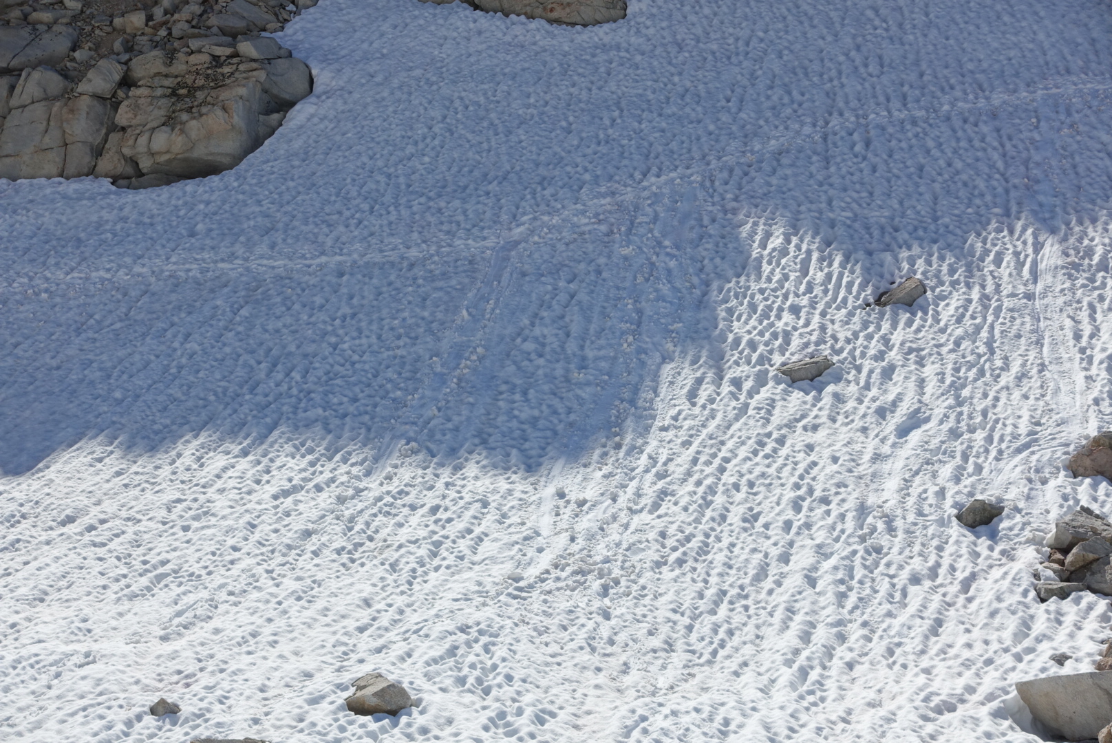
Before I knew it, I was glissading, unintentionally, towards the bottom of the slope. Holding my trekking poles, I shoved my fists into the snow, again and again, to slow down. Eventually, it worked, and I stopped.

I looked back at where I’d come from, and saw that I’d slid about 10 feet — just about the full height of the slope. The trail happened to be at the bottom of the slope, so I dusted myself off, and continued on, having just unintentionally skipped a switchback.
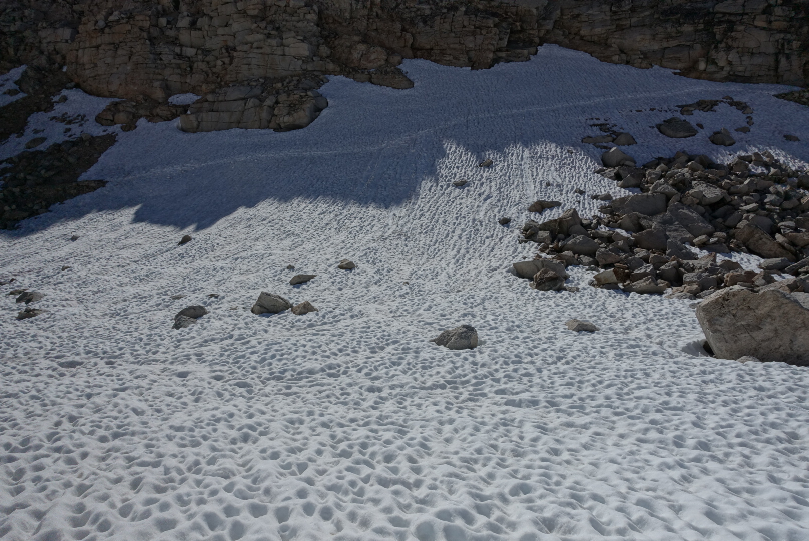
image
The slippery trail, viewed from the bottom
image
Look closely, and you can see the chute I made

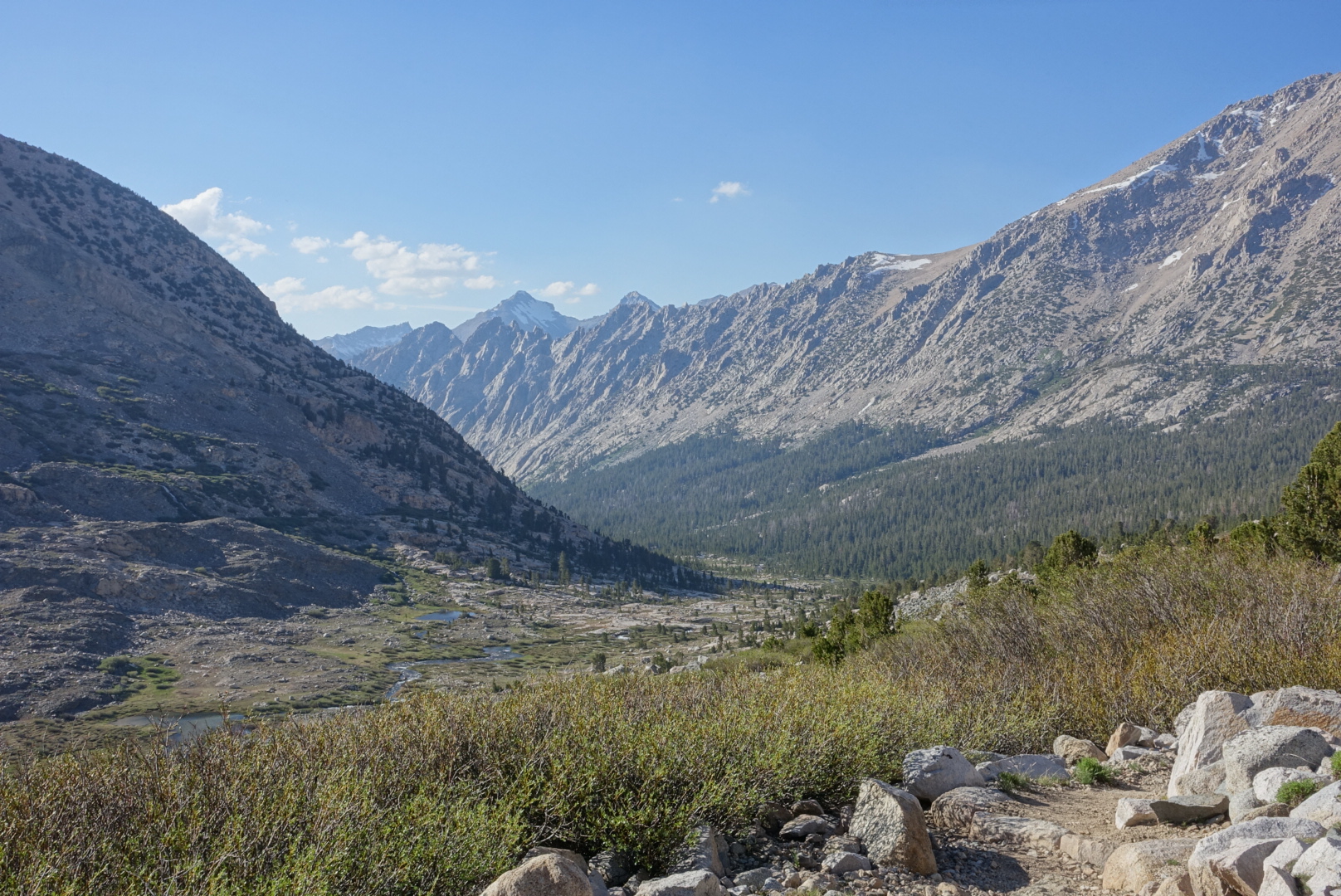
After the snowy decent, we entered King’s Canyon, with lush green trees and a raging river of snowmelt. With all that water comes mosquitoes, however, so I finally get the chance to use my headnet.

image

image

image

image

Our camp, in particular, had a lot of mosquitoes. Getting in and out of the tent without them is trouble.

As I went to bed, I noticed my knuckles were bloody — snow is sharp!
CS766 to Crabtree Ranger Station Meadow via Mt. Whitney – 6-19

Note: This post is out of order. It is from earlier in my hike when I didn’t have time to keep my blog up-to-date, so I’m posting it now.

It was a very cold night last night. I couldn’t sleep during the colder parts of the early morning. I think my quilt just won’t cut it for the Sierras. We got a late start, because I stayed in bed until it warned up.

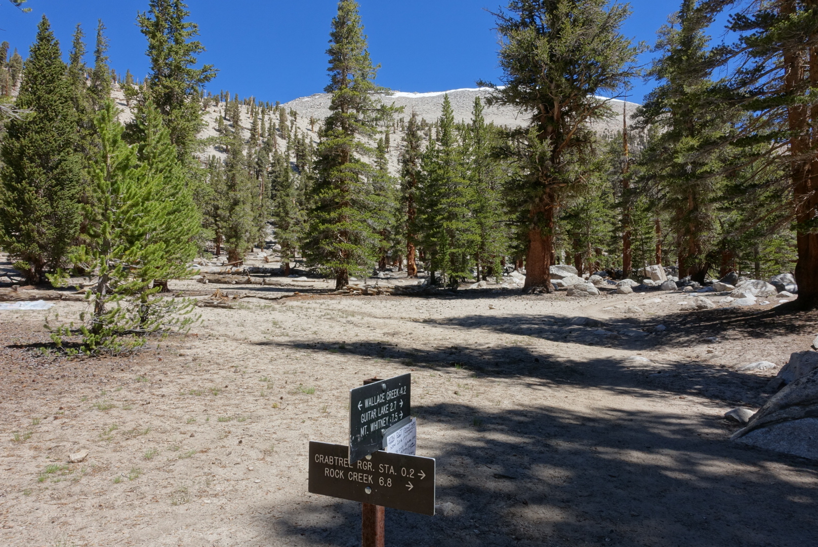
Today, our plan is to summit Mt. Whitney. Mt. Whitney isn’t on the PCT, so we were on a spur trail for most of the day and made nearly no progress on the PCT proper. Since we were going out-and-back from the PCT for this, we left some of our gear at the tail junction, so we wouldn’t need to carry it up the mountain.

image

The marmots were out in full force by the high-altitude creeks and lakes, even above the treeline. I made sure not to leave anything they might want to gnaw on.

The views began to look stark as the vegetation got more and more sparse at higher and higher altitudes.

image

image

image

image

image

image

I was getting a headache from the altitude change, so I had a snack and took an Advil.

image

image

There were some snow crossings as we ascended. They were occasionally slippery, but no real problem. I’ve carried Microspikes (metal spikes that strap onto the soles of your shoes for extra traction in the snow) since Ridgecrest, and I didn’t use them here, at the highest mountain in the continental US. I hope they don’t turn out to be dead weight in my pack — I’d feel pretty silly carrying nearly a pound of metal up and down every mountain pass in the Sierras if I never make use of it.

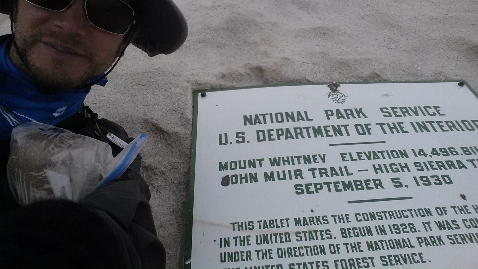
Mt. Whitney is notorious for having bad weather at the summit, frustrating hikers who had hoped for spectacular views at the top. Three years ago, I hiked the John Muir Trail, which ends at the summit of Whitney. The pictures looked like this:

image

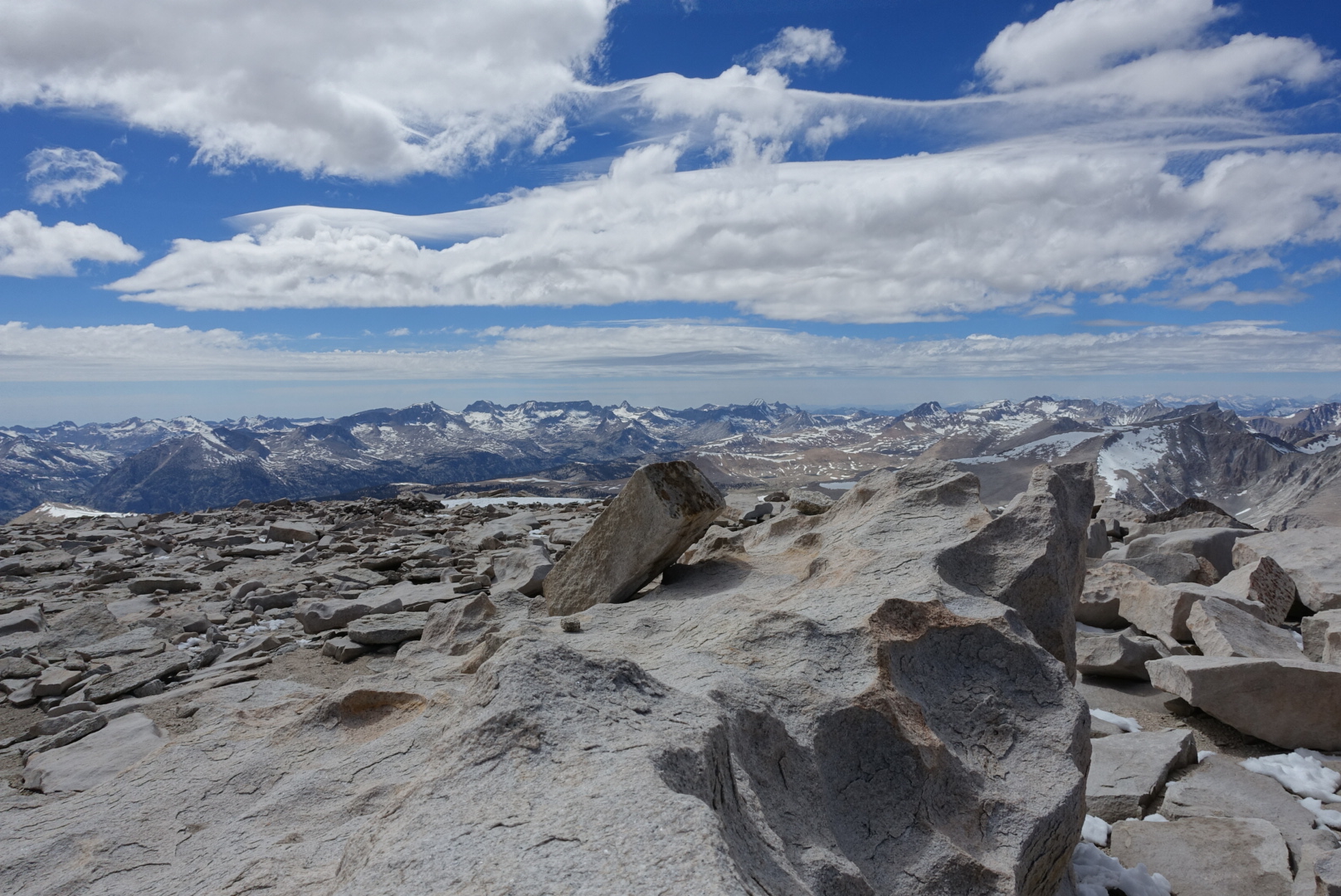
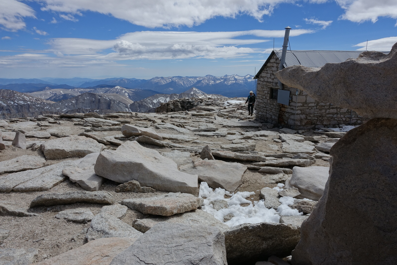
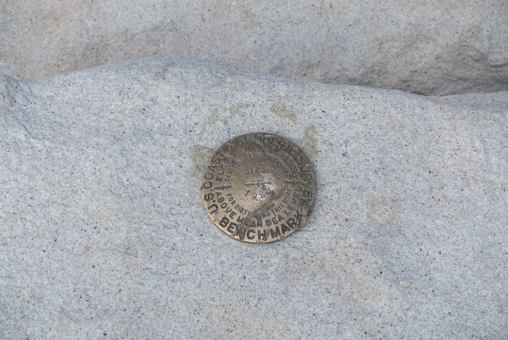
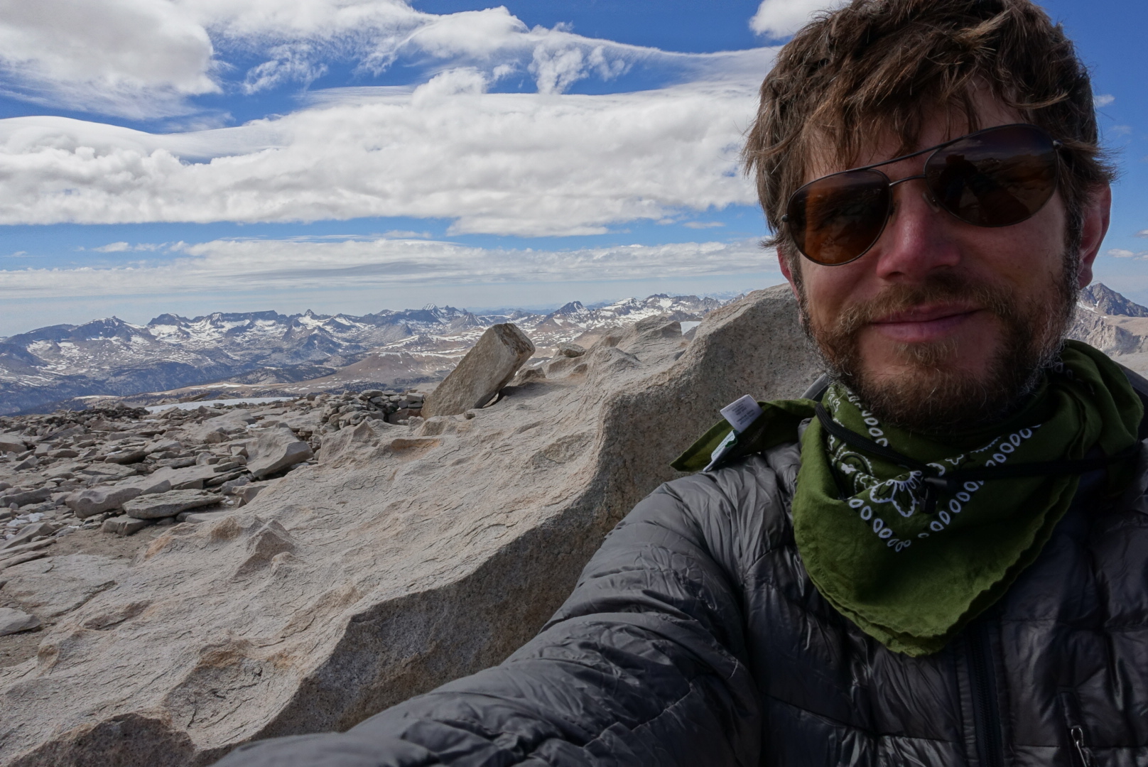
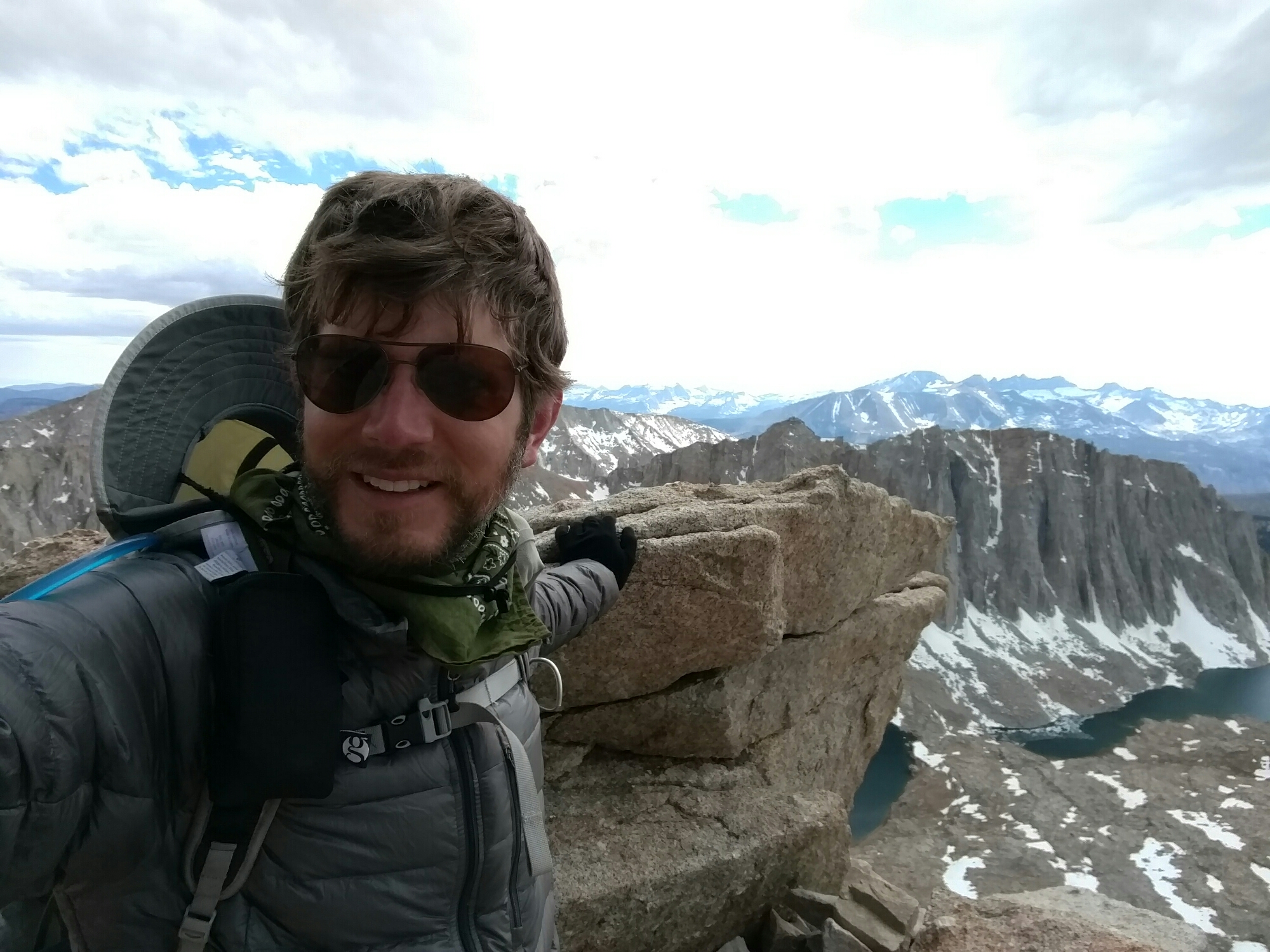
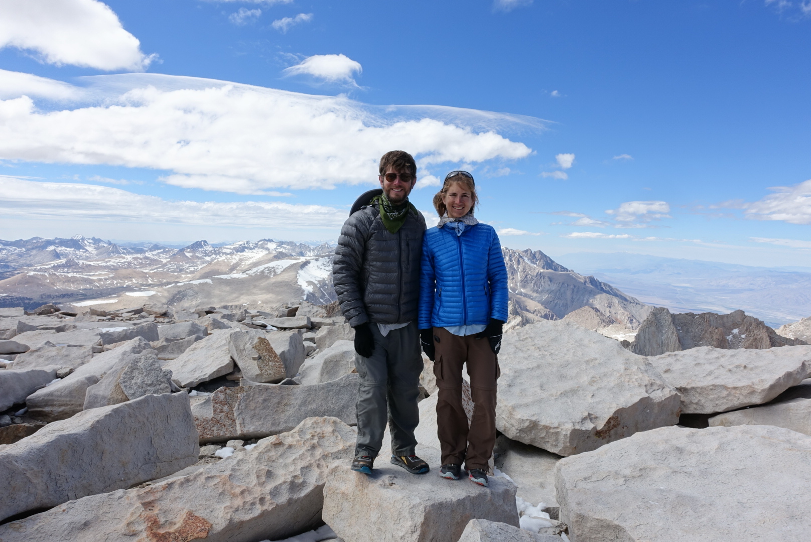
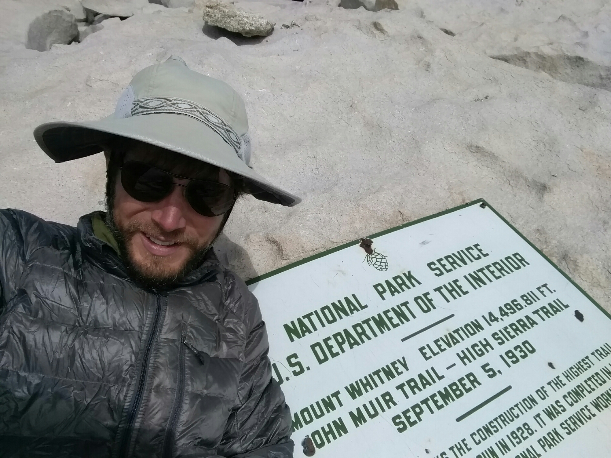
Needless to say, I didn’t spend a lot of time admiring the scenery at the end of my trip. But this time, when we reached the summit, the weather was clear, and we had long views in every direction.

image

image

image

image

image

image

image

image

image

image

image

image

The Sierras have nearly no cell phone service, but I remembered finding a particular crevice on the side of Whitney where the mountain’s shape allowed signal through in 2013. And sure enough, Coverage Gulch still worked in 2016.

image

image

As we progressed back downhill towards the PCT, Elizabeth saw a grey cloud, and was worried about rain. She hadn’t brought her raingear, so she decided to run back down to camp. I took my time.

image

Our campsite for the night was the Crabtree Ranger Station Meadow, a common staging point for approaching Whitney from the west. Many hikers’ tents were tucked away in the trees surrounding the meadow.

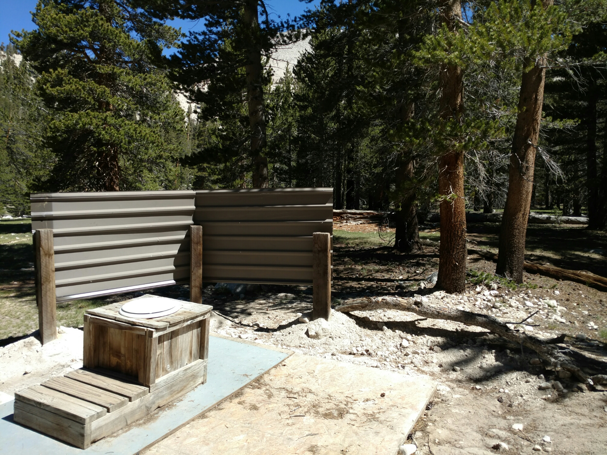
Since this was such a well-used campsite, there was a toilet set up in one corner of the meadow. Probably to keep the stray toilet paper problem under control. It looked a bit more outdoorsy than the other outhouses we’d seen so far, though.

image

We pitched our tents way across the meadow from it, and went to sleep.

Lone Pine to CS766 via Trail Pass – 6-18

Note: This post is out of order. It is from earlier in my hike when I didn’t have time to keep my blog up-to-date, so I’m posting it now.

We were ready at 7, but the shuttle never called back. So we went to the town’s coffee shop, and had a nice slow breakfast. A tasty nut-and-seed muffin, a large egg and cheese croissant, a latte, 2 donuts, a can of Pepsi, and a pint of orange juice. Things are all right.

Elizabeth used the cafe computer to set up her Sonora Pass Resupply order — it’s much faster here than at the hostel. The hostel Wi-Fi was slow and unreliable, and the Sonora Pass Resupply site was slow on a phone.

After buying a few last minute resupply items, we decided to try to hitch to Horseshoe Meadow Campground. It’s a long drive, and an unpopular campground, so this is a long shot. But, luck was on our side, and we got a ride with a section hiker who was starting his hike from Horseshoe Meadows.

image
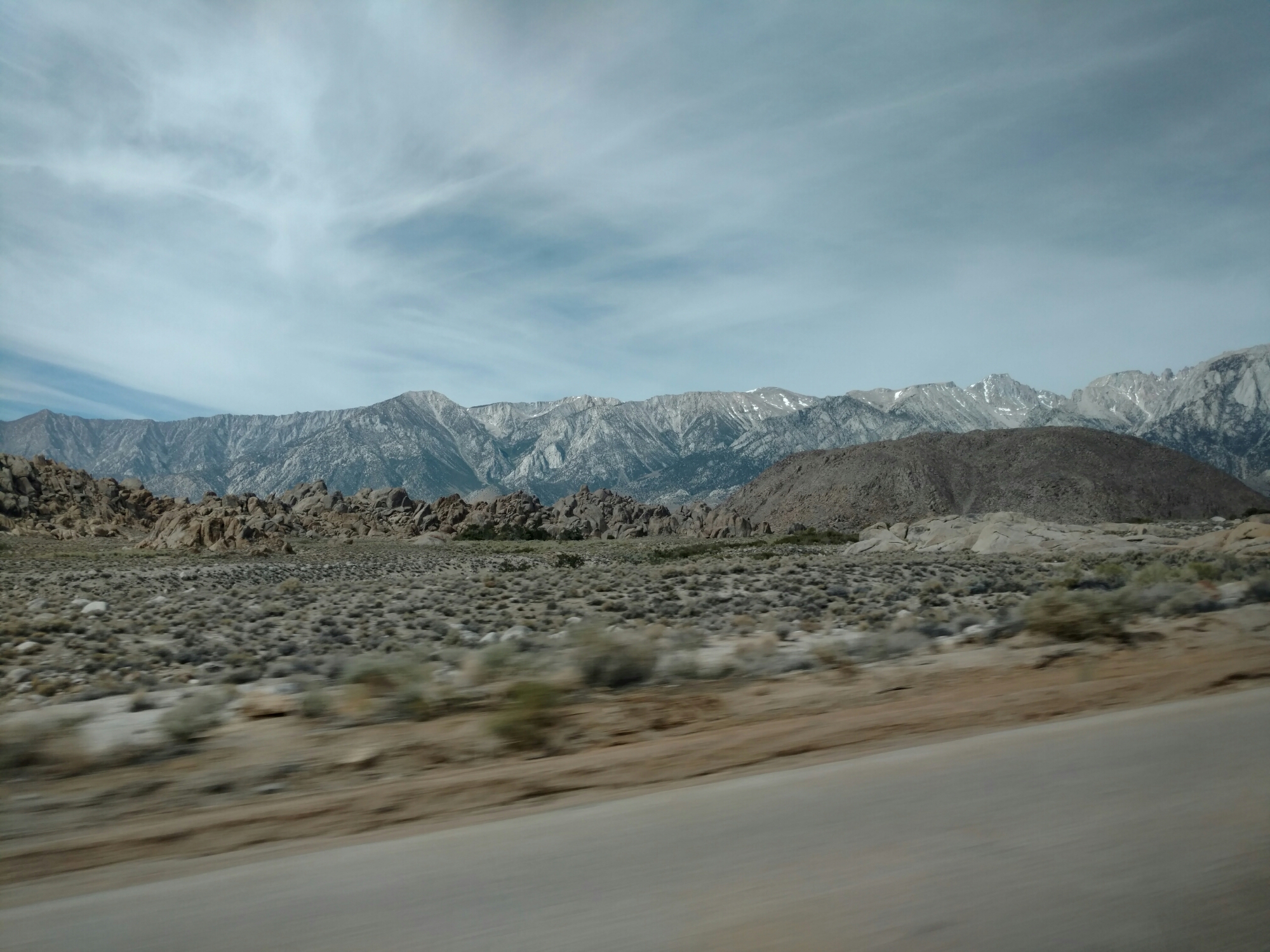
The ride back to the trailhead gave us a comfortably scenic version of the desert terrain we'd hiked through before

When we started hiking, the trail was very crowded. It’s a popular day for hiking, I suppose.

image
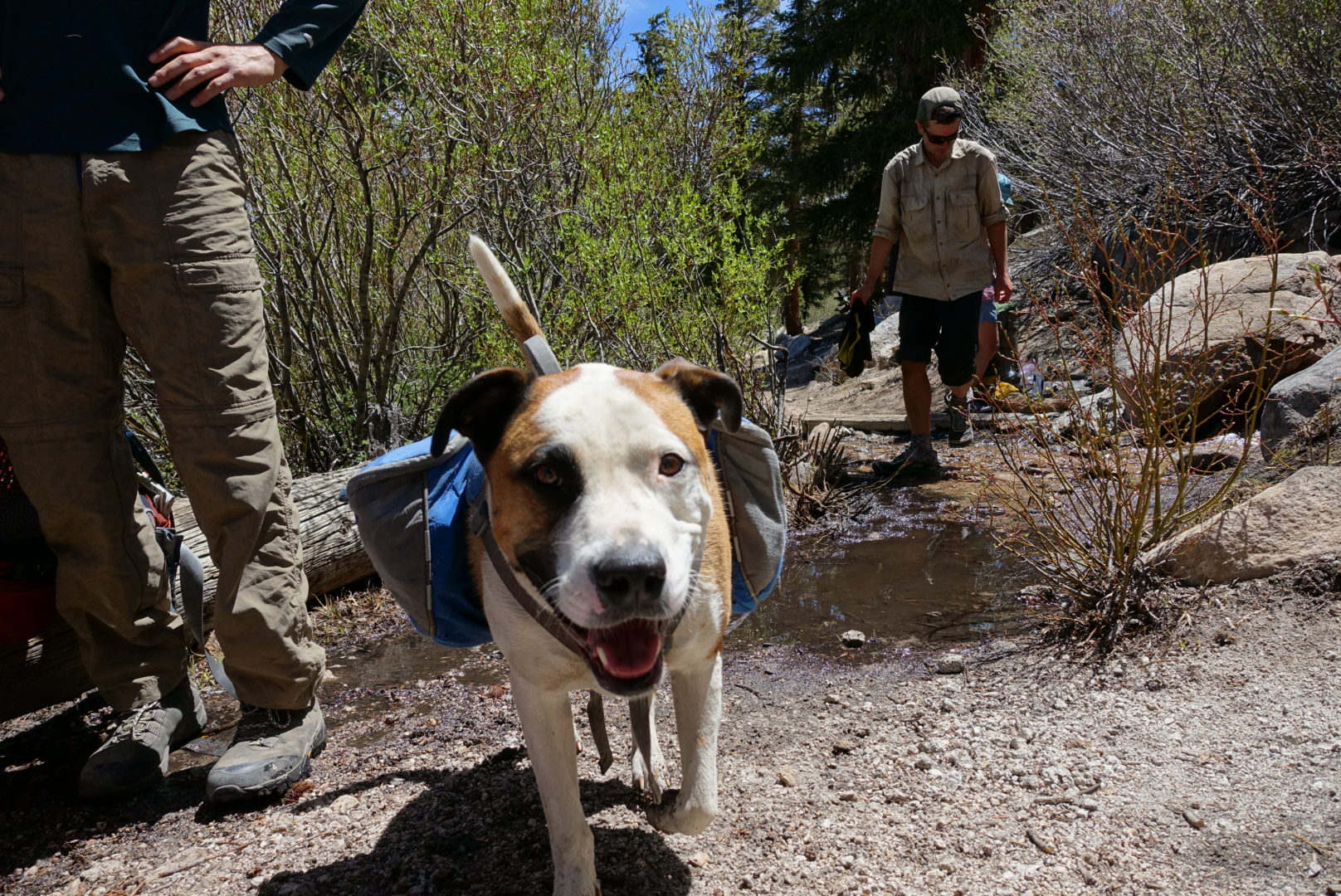
For humans and canines alike, it seems
image
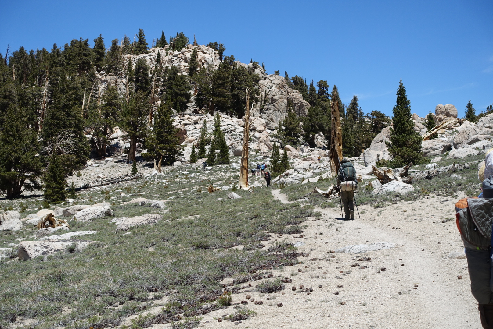
Single-file room only
image
This weather might explain why

We didn’t get very far before lunchtime, and stopped at Chicken Spring Lake to eat. The lake turned out to be brown and unappealing. We decided that Chicken Spring Lake is one of the lower-tier lakes in the Sierras. A group swam in it all the while we ate, making the water even more unappetizing.

For the rest of the day, we hiked fast, trying to make up for the lost time in the morning.

image

image

image

image
Signs of the Sierras proper in the distance

image

image

image

image
Our first shoeless creek crossing

image

By the time we made it to camp, it was late, dark, and cold. As I treated water for the night, my hands got painfully cold.

image
Sunset came long before camp