CS586 to Landers Camp – 6-9

We got started late today. We needed to plan for a 42.5 mile waterless stretch that would start tomorrow.

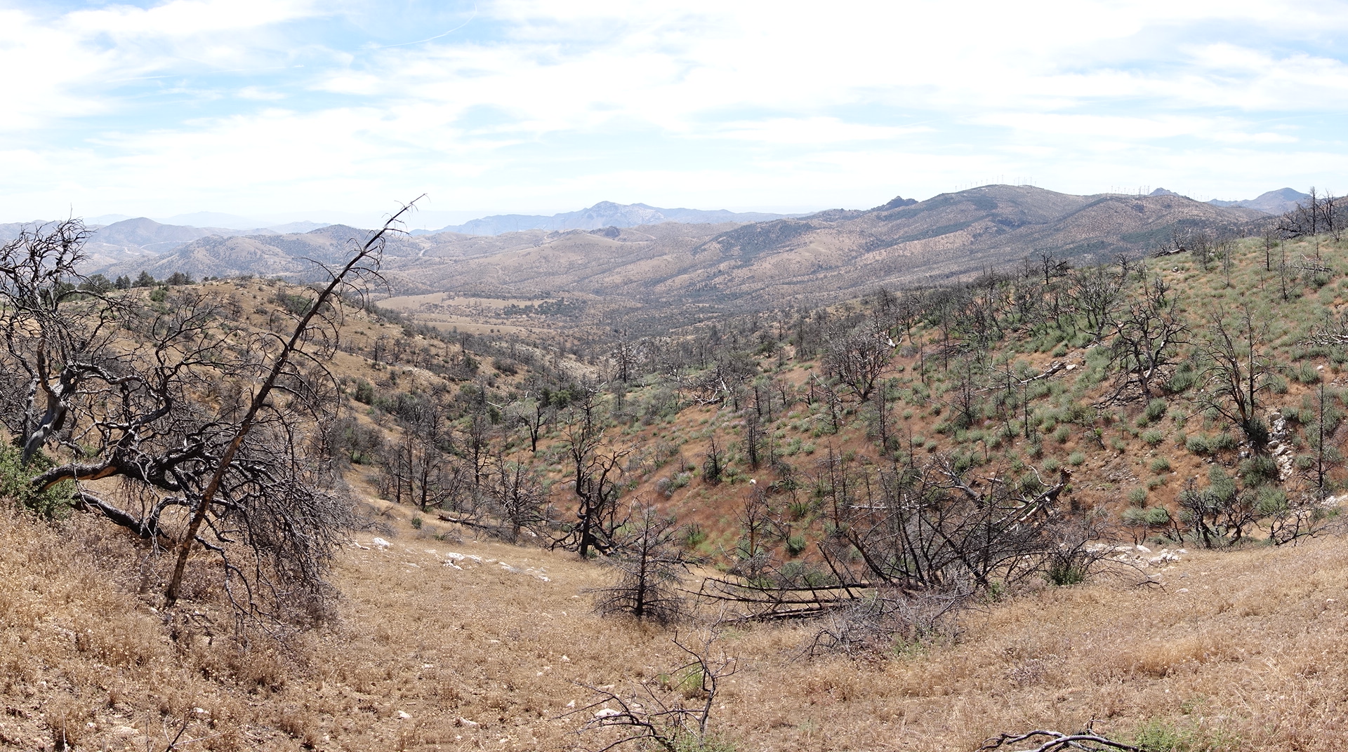
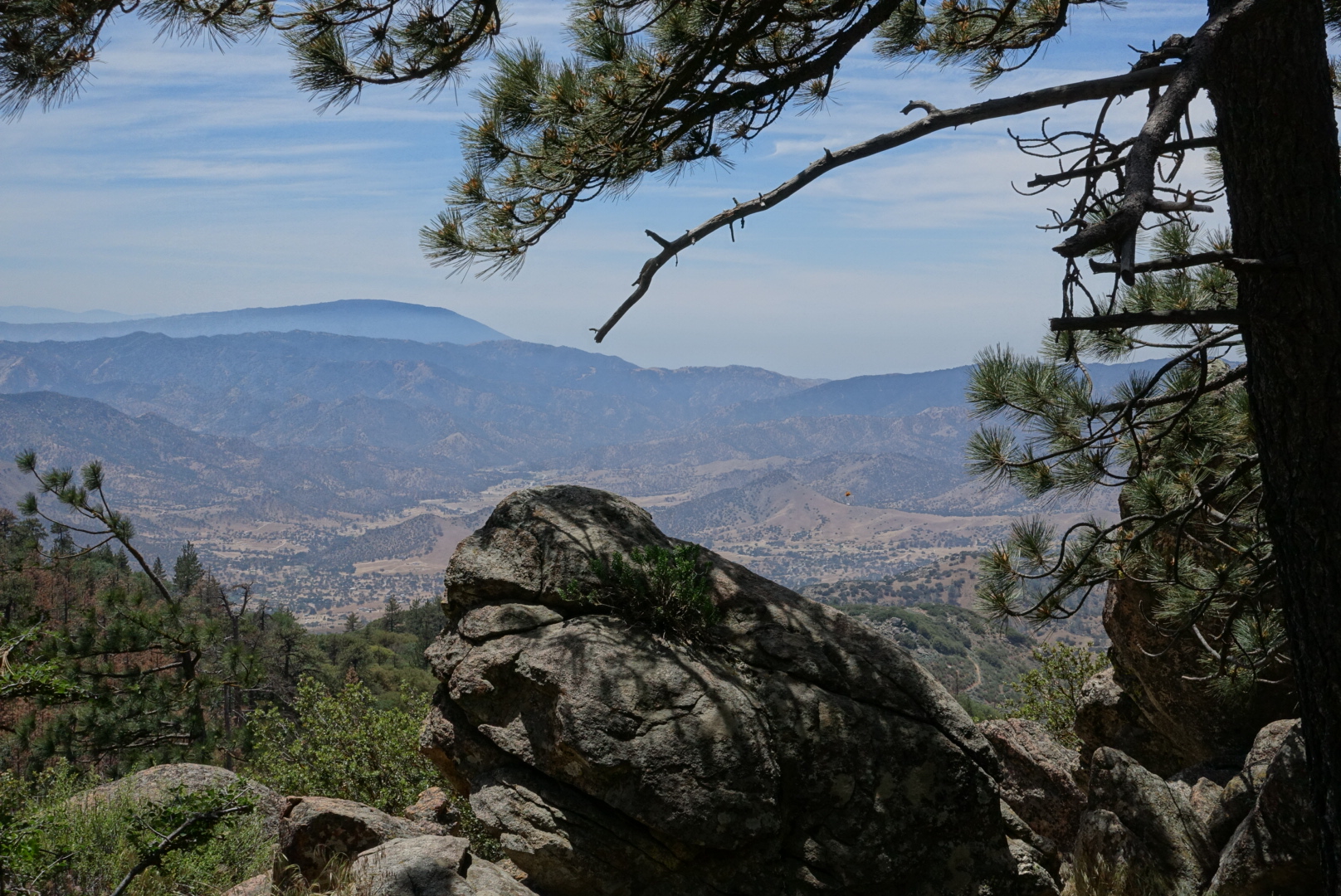
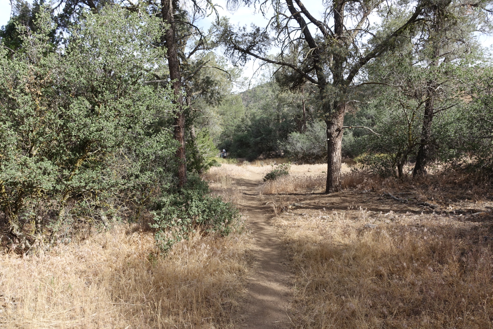
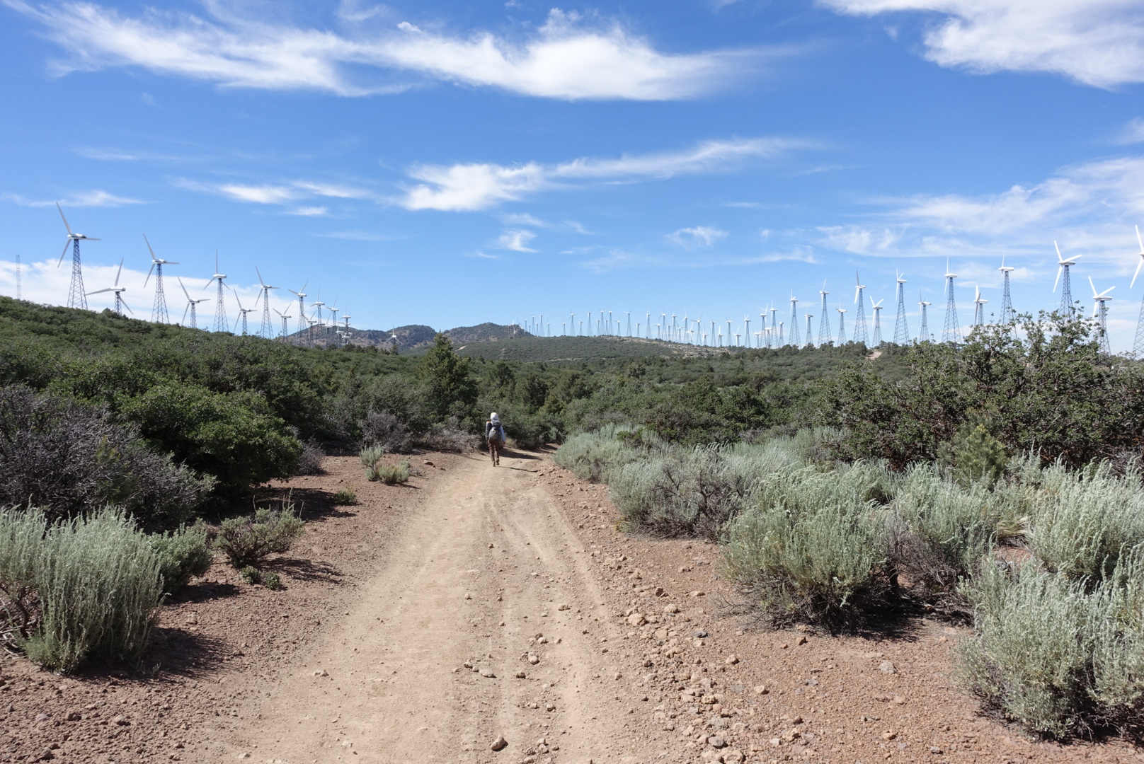
The trail today was pretty ordinary: Rolling hills of desert shrubs, grasses, and succulents, with a few pine trees and long views.

image

image

image

We’d been noticing things that looked like balloons attached to power lines.
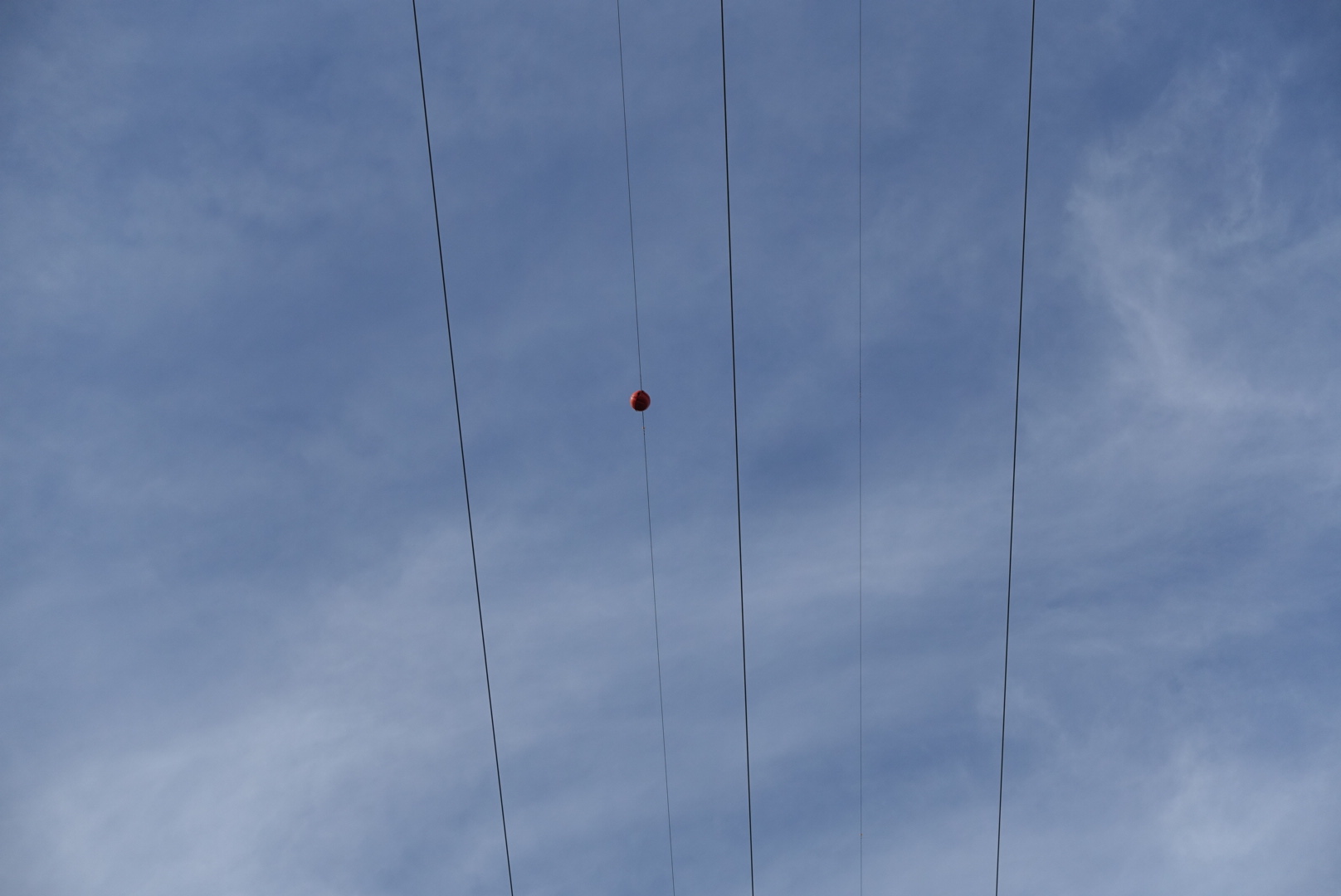
image
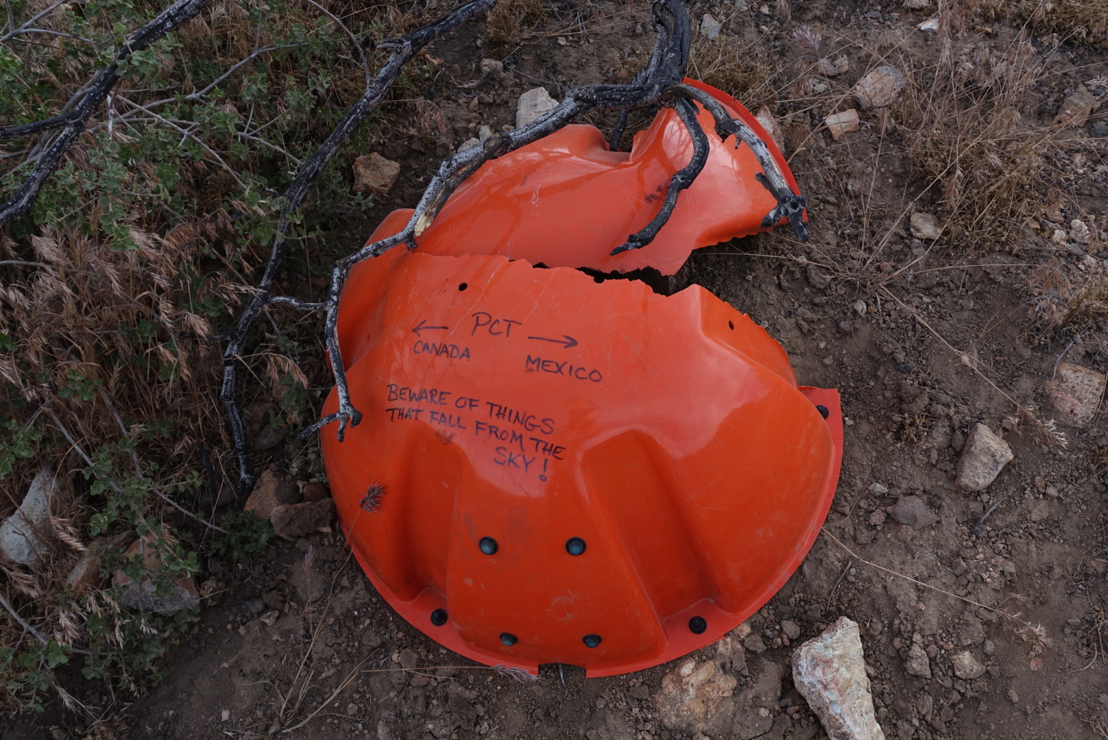
These things

We guessed they were probably there to make the power lines more visible to aircraft. We had speculated on what they were made of, and what they looked like up close.
image
The trail taught us

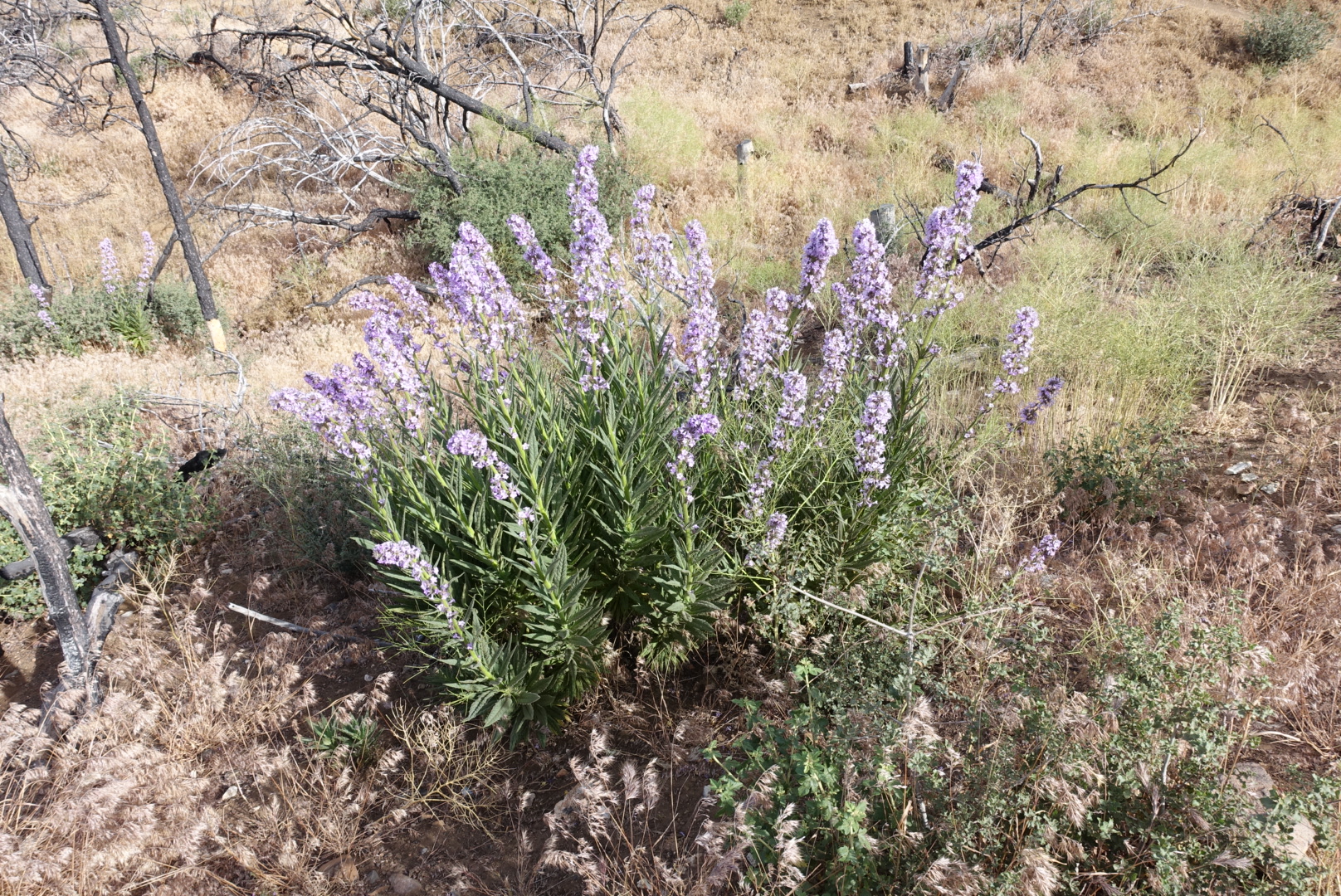
We went through an area that had burned, and that re-introduced us to an old friend:
image
Did you guess poodle dog bush? It was, fortunately, easy to avoid today.

We also passed the 600 mile marker.

image
It sat on the side of a rarely-driven dirt road

The heat was strong, but there were two springs on the trail today. The first was Robin Bird Spring, which had a veritable colony of hikers resting near it, enjoying the easy access to water. I’d run out of water a few miles early, and eagerly drank a liter as soon as I could treat it.

After filling up, we headed out, and almost immediately crossed a dirt road with a van on it. The van contained a trail angel named Siri. We chatted with him about the hiking trails of his native Norway, and he gave me an Orange Fanta and some Oreos. He also mentioned that there were large water caches at miles 615 and 630, which would make the coming miles much more manageable.

After another dry stretch of trail, we made it to our destination for the night, Landers Camp, which was a campsite with a spring nearby. The spring flowed fast with cool, clear water, and tasted delicious. I filled up to my maximum capacity (6 liters), and didn’t look forward to carrying all that weight up the desert hills tomorrow.

The campground was an overused drive-in site, but tonight there were only a few PCT hikers and nobody else. It was quiet, and we were able to get good rest.

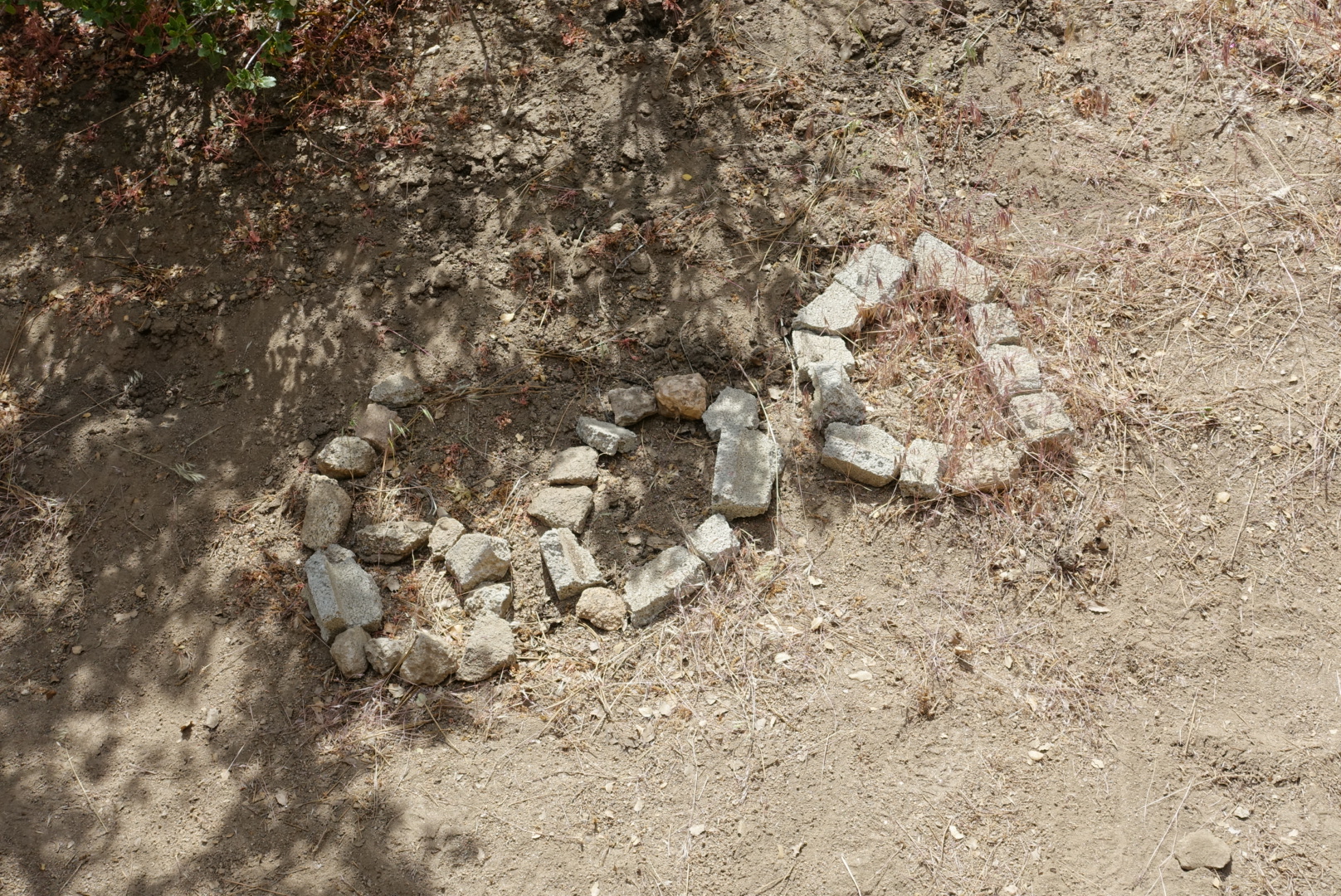
The only signs of overuse near us were piles of shotgun shells, the remains of a blown-up mannequin, a sombrero, and cans of grape soda. Which sounds like quite a birthday party.

We went to sleep, to start the long dry stretch tomorrow.

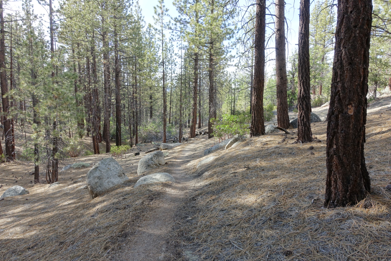
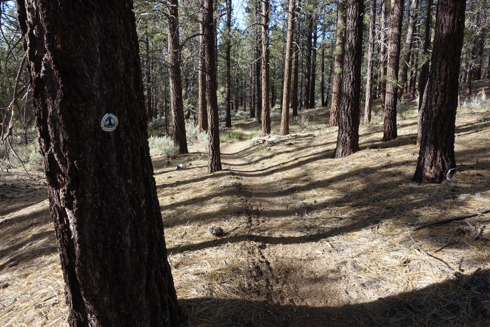
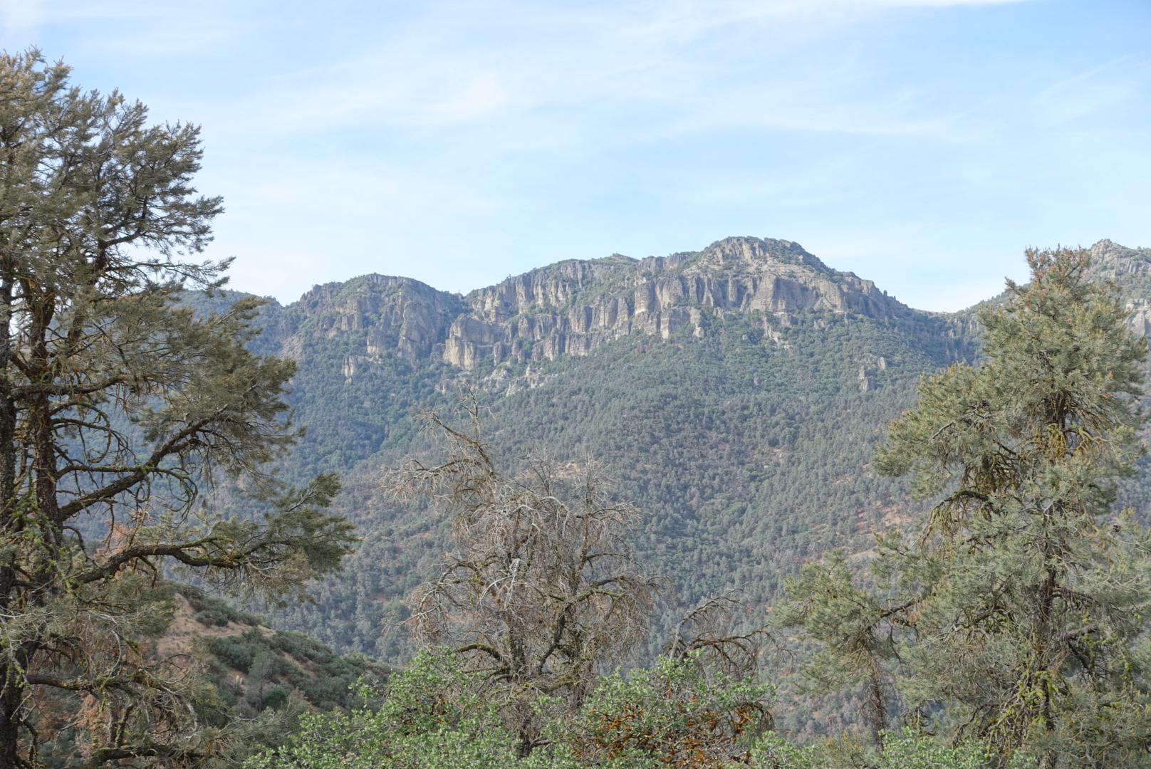
Some pictures of today’s trail:
image

image

image

Tehachapi to CS586 – 6-8

We’d had a nice time in Tehachapi. We saw the ostrich farm (Elizabeth wants to farm ostriches now). We’d seen the brewery (Honey Wagon Brewing. It seems to specialize in sour beers and flavored barleywimes. Elizabeth liked the hazelnut and the chocolate barlrywines. I wasn’t a fan, the coffee barleywine tasted like boozy Tootsie Rolls). We’d even seen Bakersfield and the Borax Pit. It was now time to get back to hiking.

We started where we’d left off, at Tehachapi Willow Road. But today, we had a belly full of town food and coffee, two days rest, and… No backpacks.

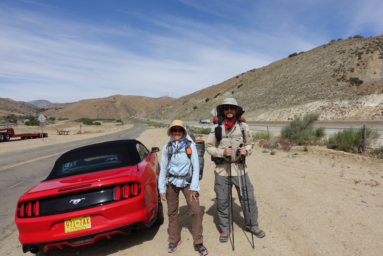
We hiked a fast 8 miles to highway 58, where Elizabeth’s boyfriend drove our packs to us (our packs, and ice cream).

image
This PCT sherpa service could be successful

With our packs back, we set off across Highway 58, and were on the trail for real again.

On the trail register box just across 58, someone had written “Cheryl Strayed was here ’98”. My understanding is that she did start here…. But isn’t that the wrong year? (Not to mention that the register box probably wasn’t that old).

The trail paralleled the highway for a while, and we saw some interesting things.

image
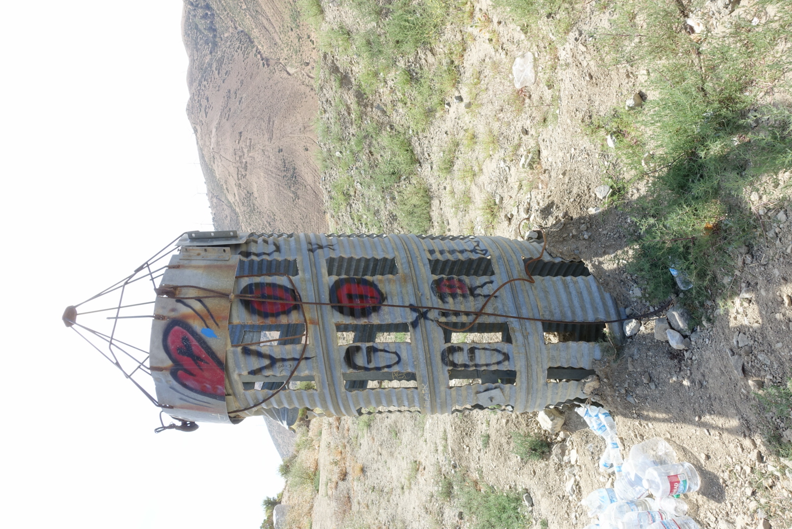
Okay, what is it?
image
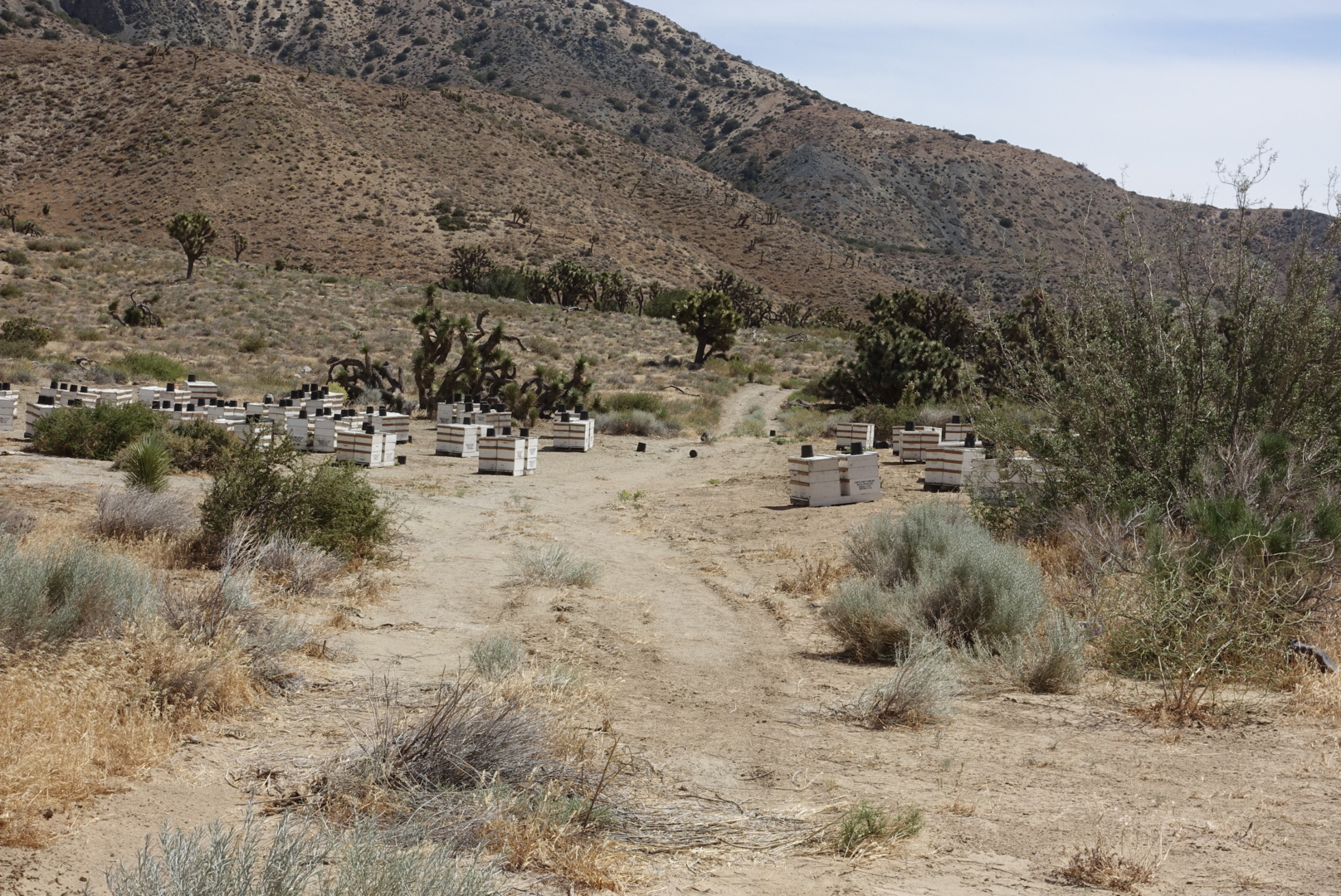
Enter the beehive zone, if you dare

The next section of the trail had been destroyed by a mud slide. As it happened, earthmovers were at work as we walked by. They waved as we scrambled out of the way.

The trail from then on was ordinary. It was hot (about 95), but breezy. And there were more windmills.

image
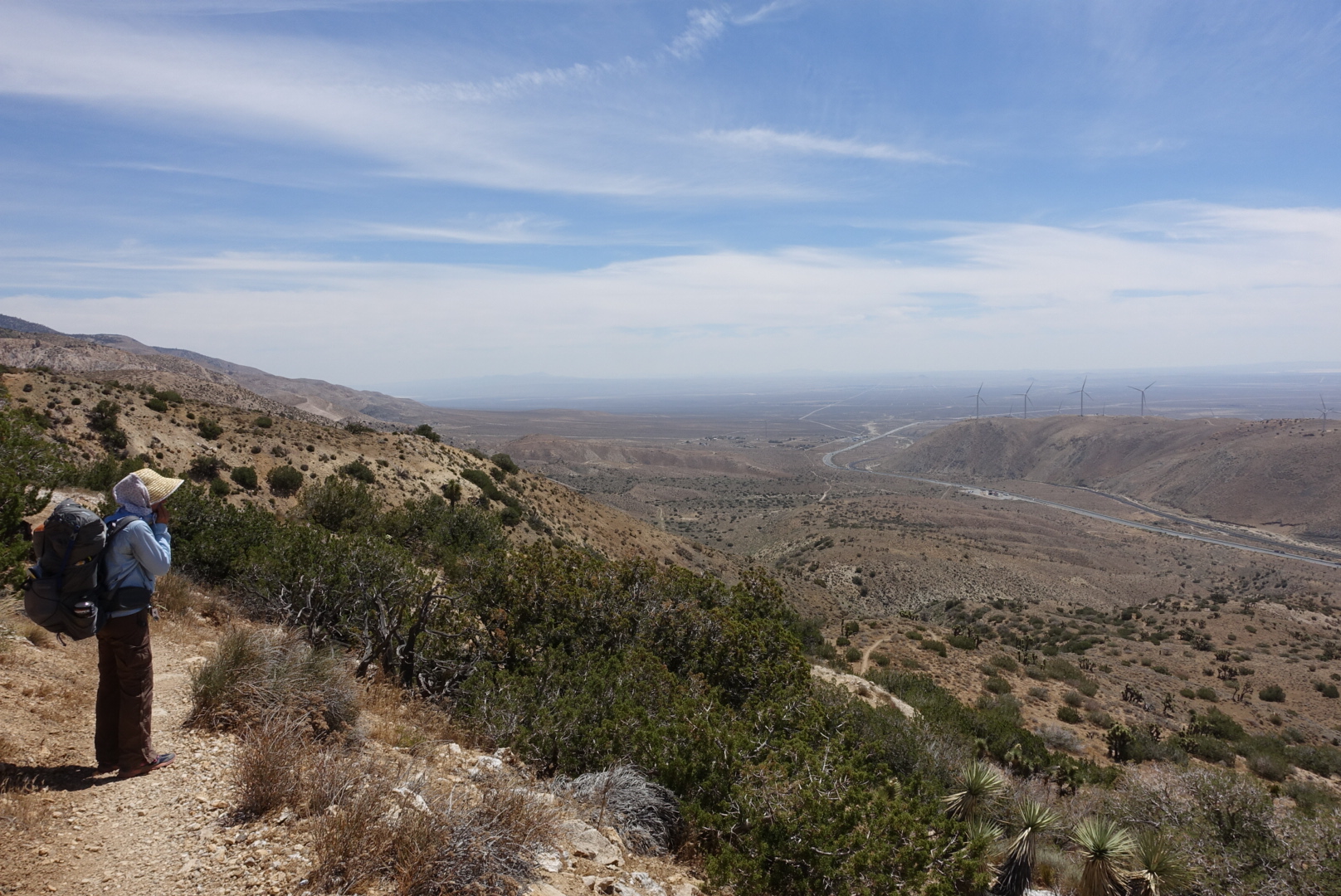
View as we pulled away from 58
image
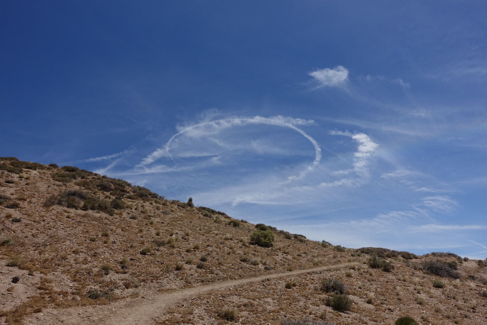
We saw this peculiar cloud formation. Maybe from the nearby airbase?
image
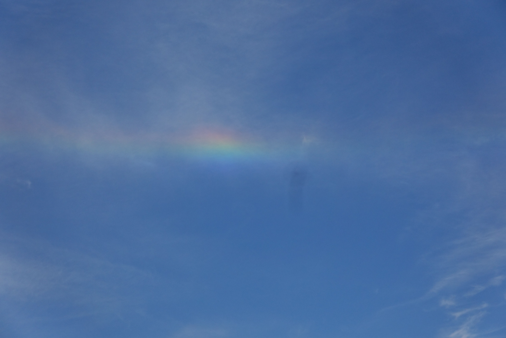
There was also a bit of a rainbow. No rain, though.

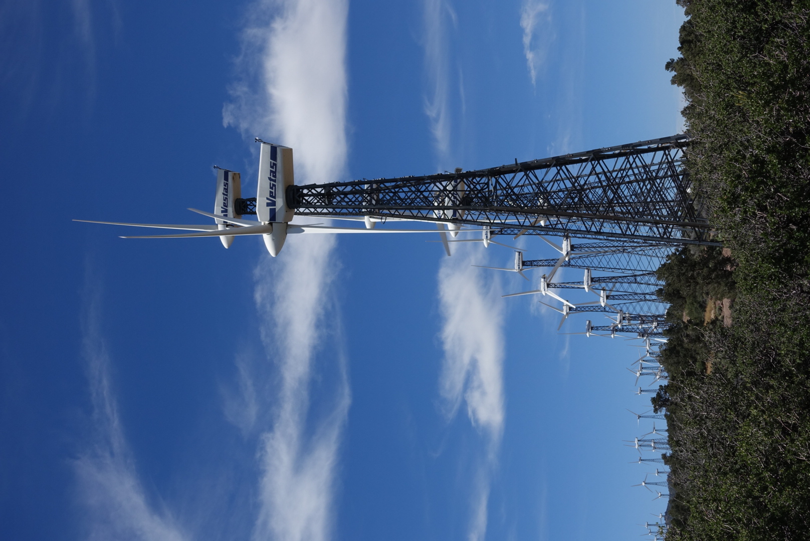
Up here, it got windy. Really windy, the kind of wind that makes you think they should put a wind farm here.

image
Oh, they did
image
Rows and rows of turbines
image
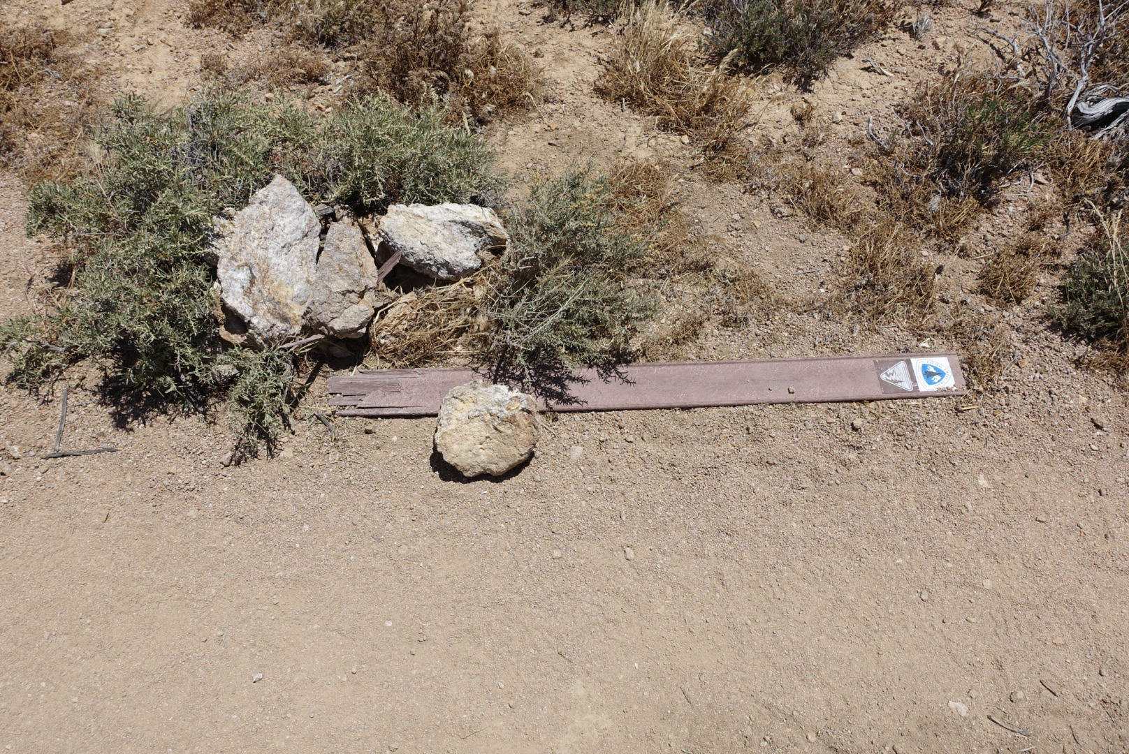
The wind was too much for some PCT signposts
image
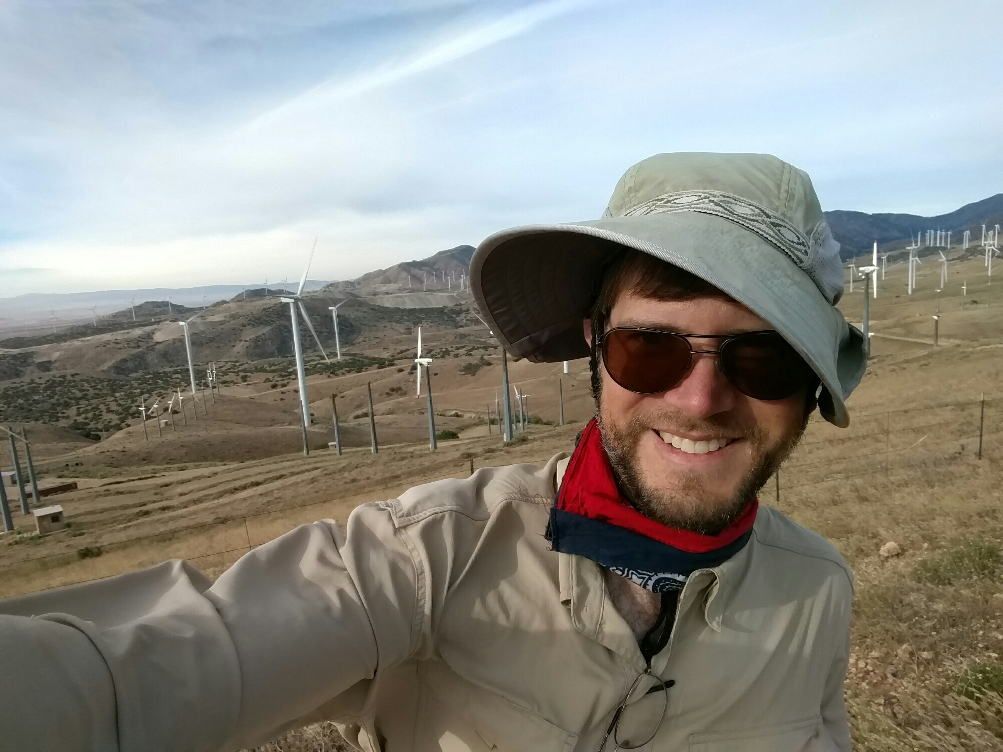
My aging hat withstood the abuse
image
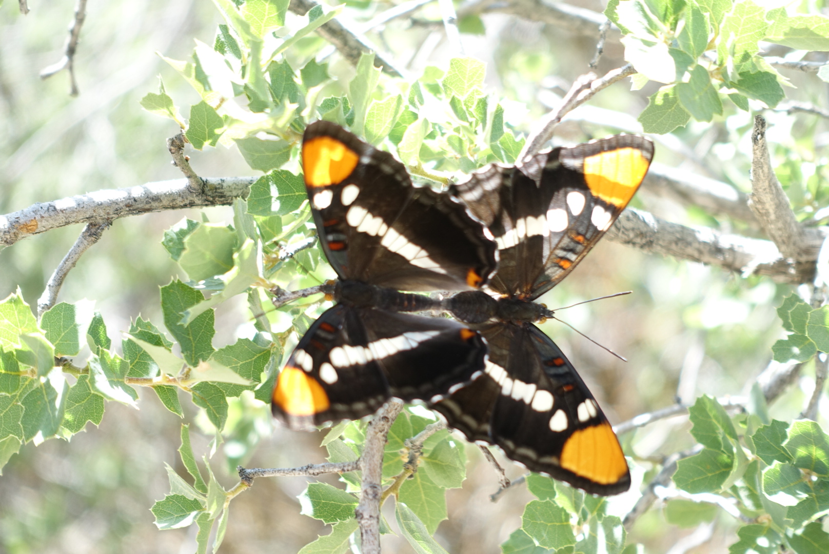
Some butterflies seemed to be doing just dandy despite the wind

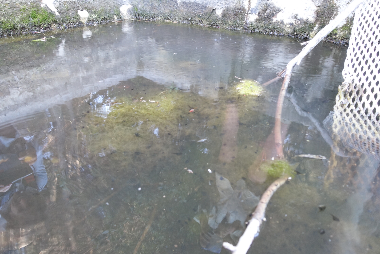
Golden Oaks Spring was the only reliable water for a long stretch – 25 miles before, 18 after. It ran slow. The trough below the spring pipe was full of algae and tadpoles. There was a long line of hikers waiting their turn for the fresh spring water from the pipe. To keep things moving, I just scooped mine from the trough. Pre-filtering through a bandana and filtering with a Sawyer Squeeze turned the tadpole-filled pond scum into perfectly good-tasting water. (I mention this because I’ve never seen anyone else pre-filter on the PCT. IMO it should be a more popular technique.)

In the hour we were there, nobody else took water from the trough.

image
I wonder why?

Since the pond area was crowded, we moved on, hoping there’d be a good campsite coming up. As it happened, there was a terrific site a couple miles ahead, with a view of the sunset, and not too much turbine noise. We made camp, and had a good night’s sleep.

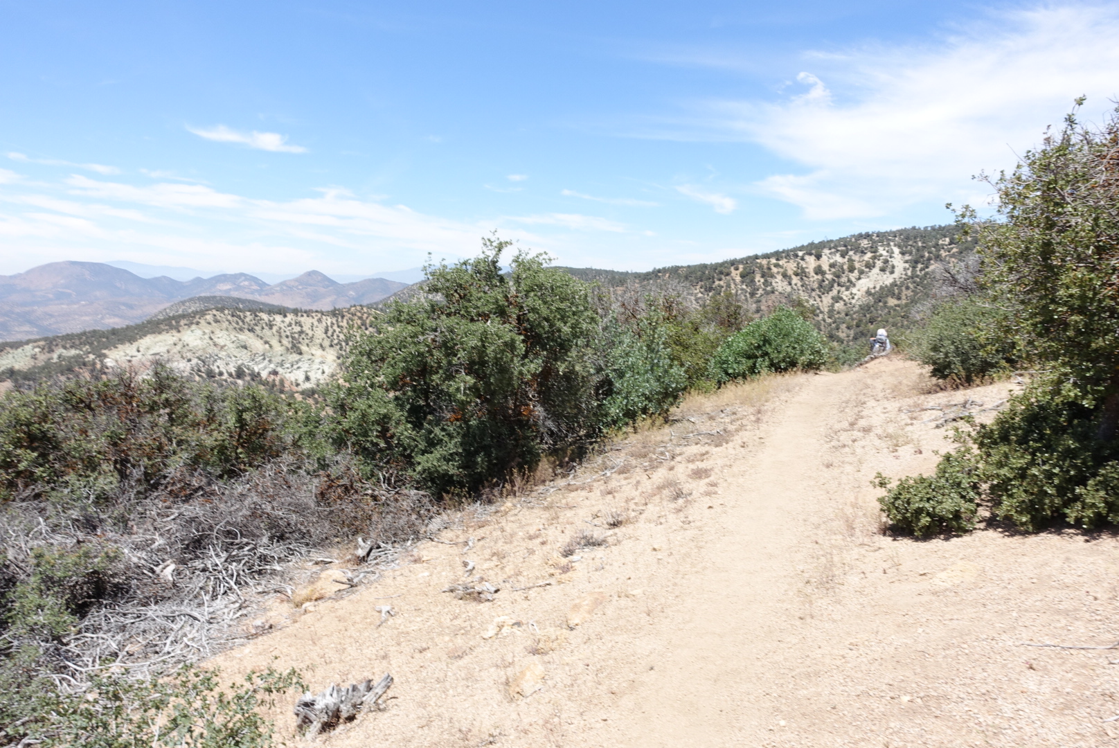
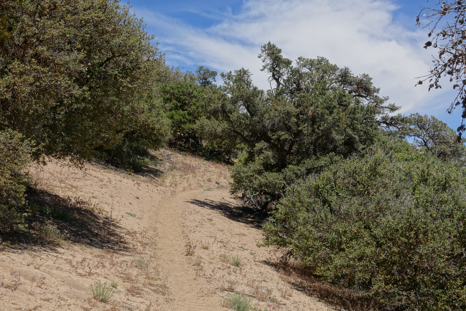
Some pictures of today’s trail follow. I’m thinking of including a few pictures like this every day:

image
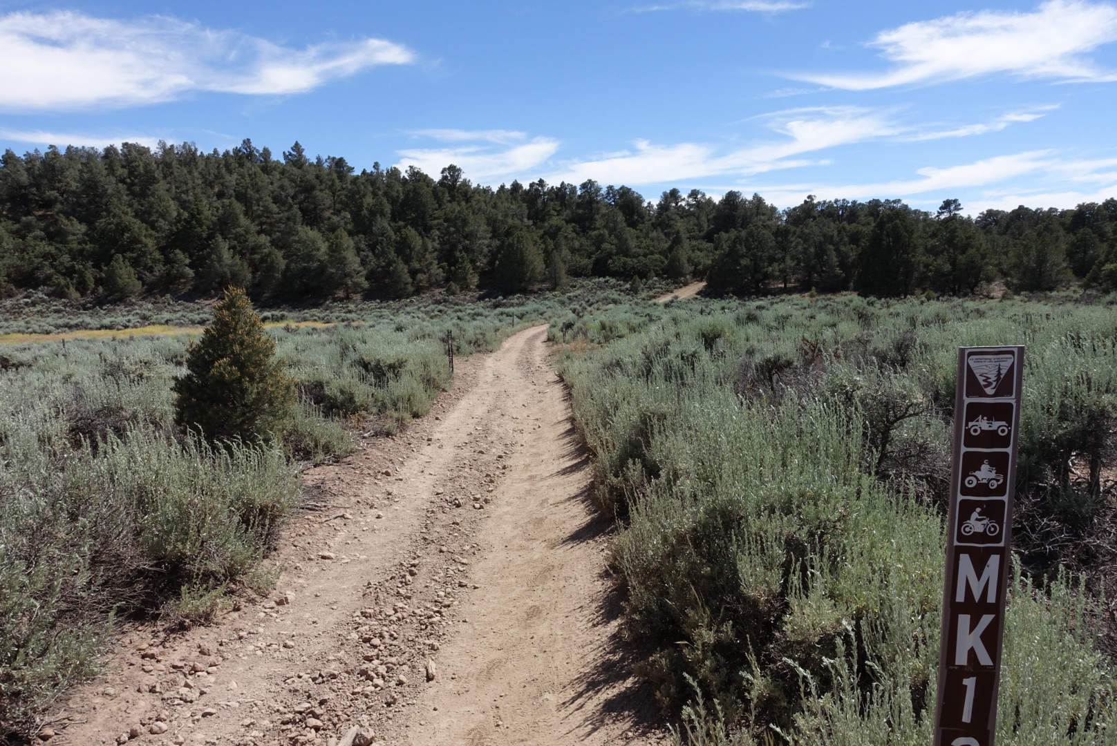
Just a sample of what the trail was like today

image

image
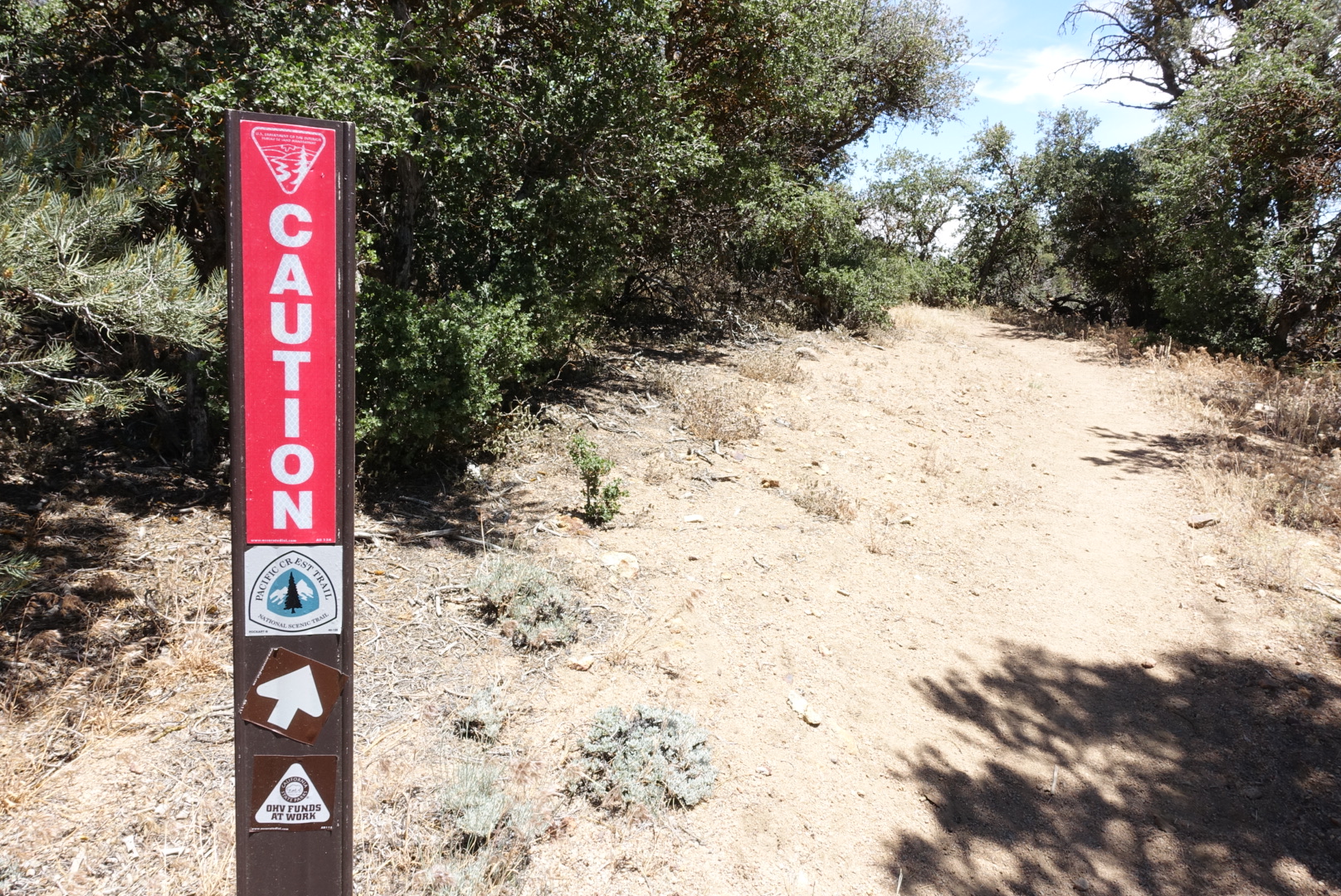
Caution what? Also, this is the only part of the trail where I've seen the arrows on PCT signposts point at non-90 degree angles.
image
Tehachapi behind, who knows ahead?

Tylerhorse Canyon to Tehachapi – 6-5

In the light of day, it became apparent how heavily used the campsite was. There were tents on any flat area far up and down the canyon. This was one of the very few wild areas on the trail to have litter and abandoned equipment.

I don’t have a lot to say about today. We hiked fast, and would be taking two zero days in Tehachapi afterwards.

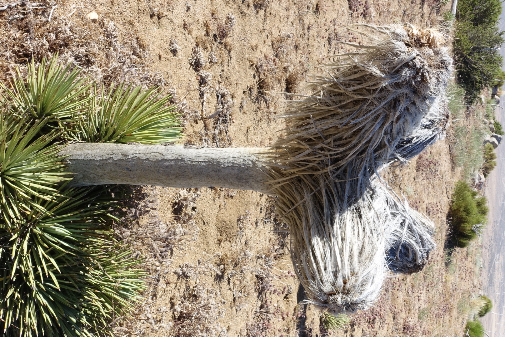
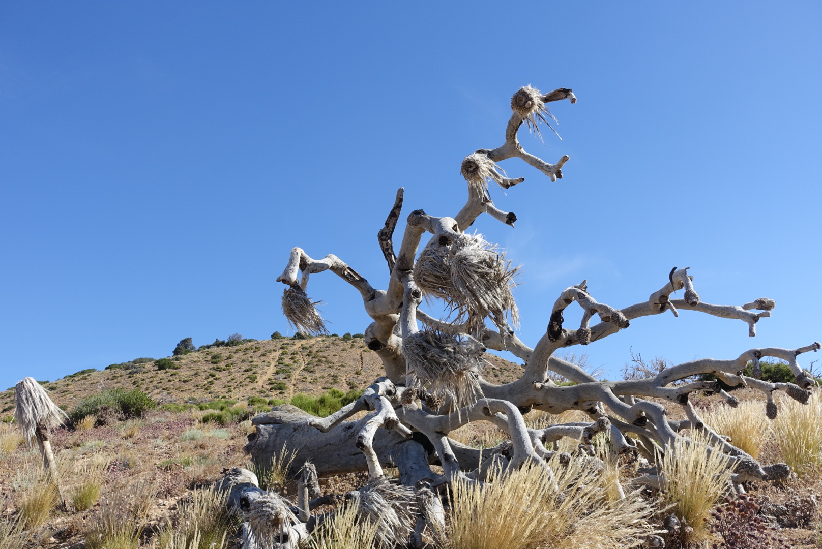
There were interesting desert plants.

image

image

We found a lounge for hikers, but I wasn’t interested in lounging.

image
They didn't have Cactus Cooler, anyway

We continued through the wind farm — clearly an awfully large project at this point.

image
Many wind turbines. There were also many more.

The wind farm reminded me of Pathfinder. He had criticized wind power when we were with him. He said that, even with perfect wind all the time, wind turbines still cost a lot more than other power sources. He was probably at least a couple days ahead of us now.

We finally reached a creek, but we weren’t interested in its water, Tehachapi awaited.

image

The road was just after the creek, and just after that were all the delights of non-hiking life.