Today was a simple day. We got up, we walked, we camped. There was some eating and water-gathering in between, but nothing too complicated.
I realized this morning that I’d miscounted meals when resupplying in Seiad Valley. No wonder my food bag was so light — I was missing a dinner and breakfast. But, so long as I can stomach eating peanut butter and Nutella by the sporkful, I’ll only be a little hungry on the way to Ashland.
I’d like to make a point about Mt. Shasta. You can see it from really, really far away. I realize that it’s big, but look at this map:
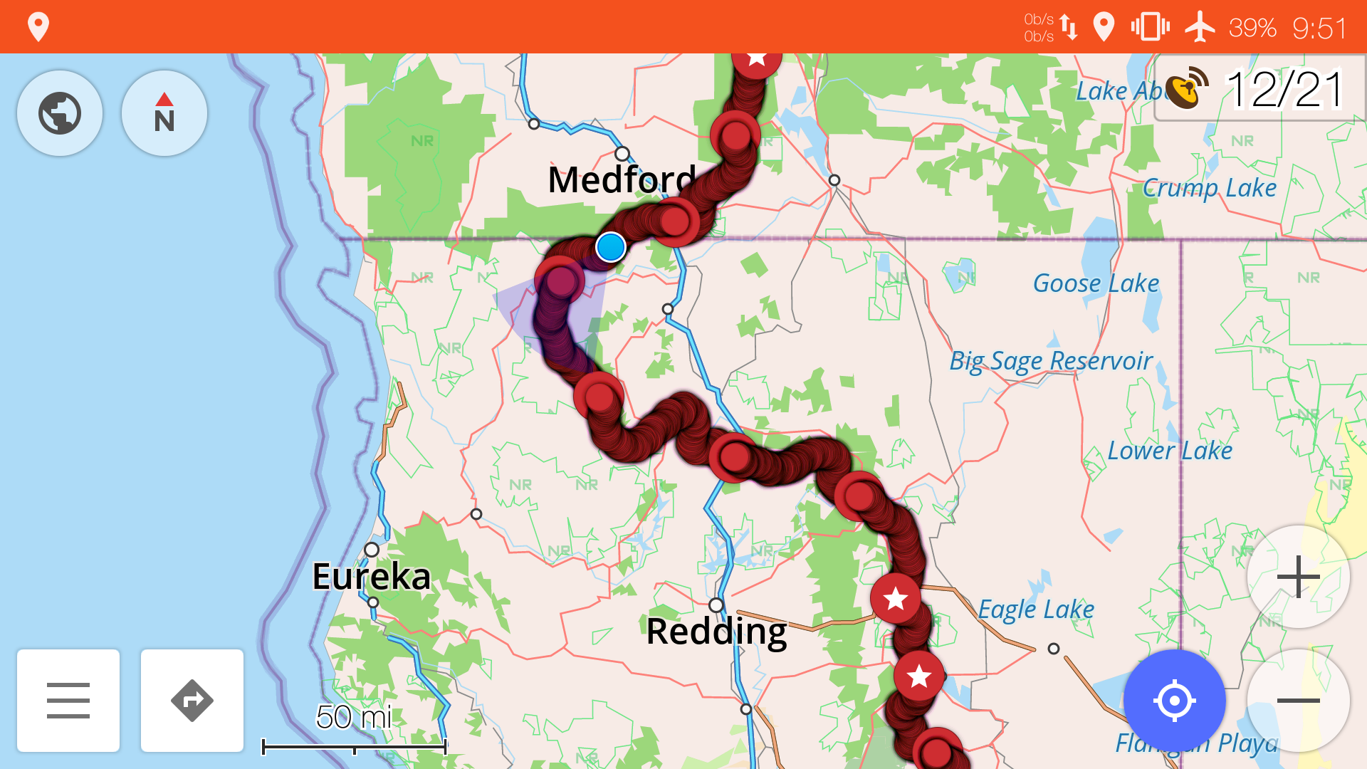
The red line is the PCT. See how the PCT takes a big turn westward near the end of California, and goes halfway across the state? Shasta is just north of the PCT at a point a little after it turns west.
The blue dot near the California/Oregon border is where I am now. We’ve been seeing Shasta on and off for the entire detour. Mt. Shasta is big, but I never thought I’d see it across half the state.
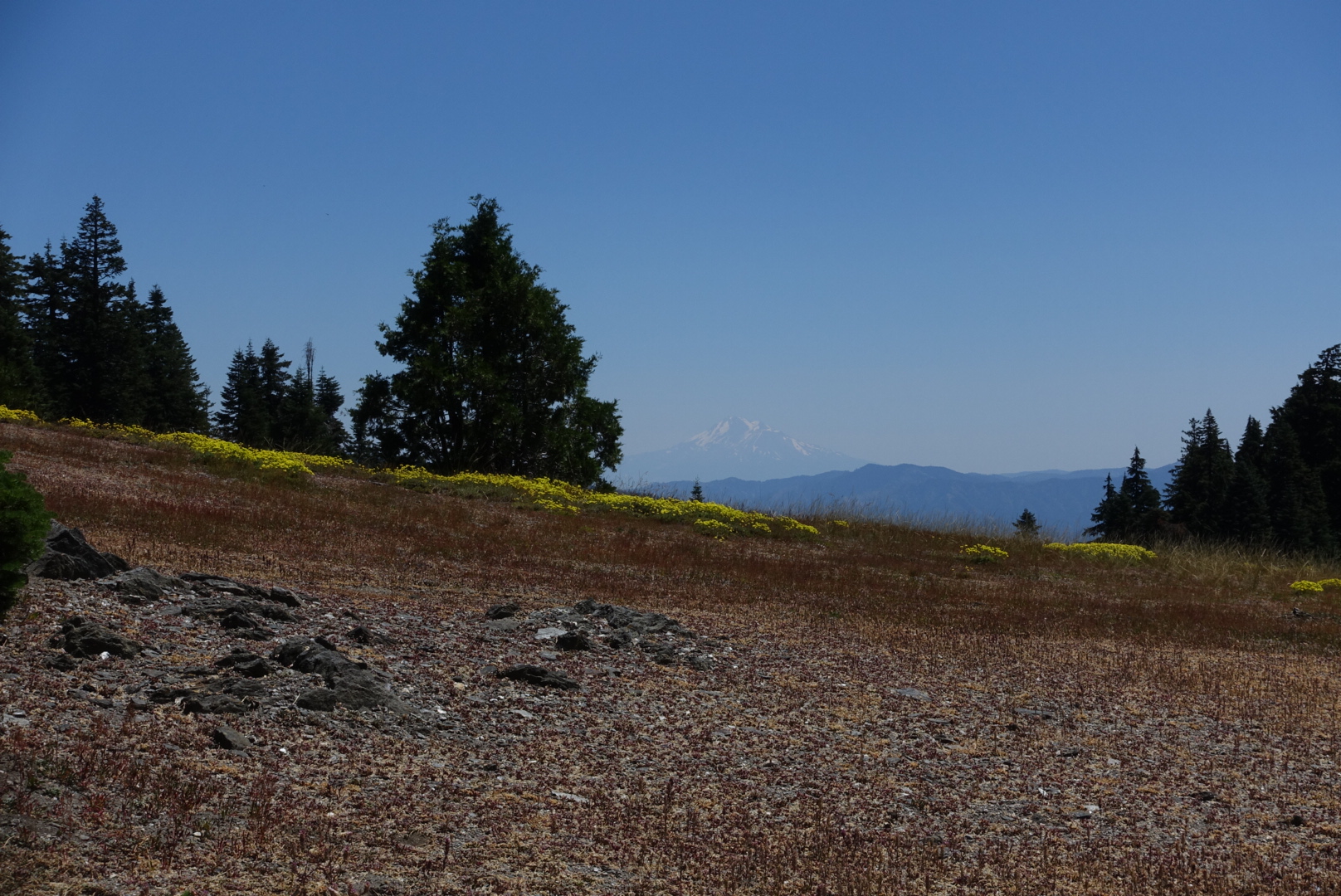
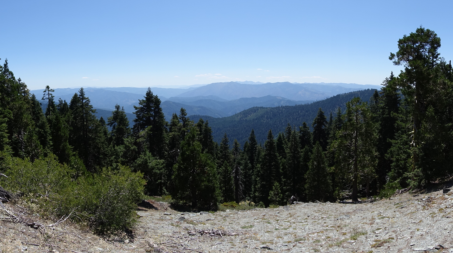
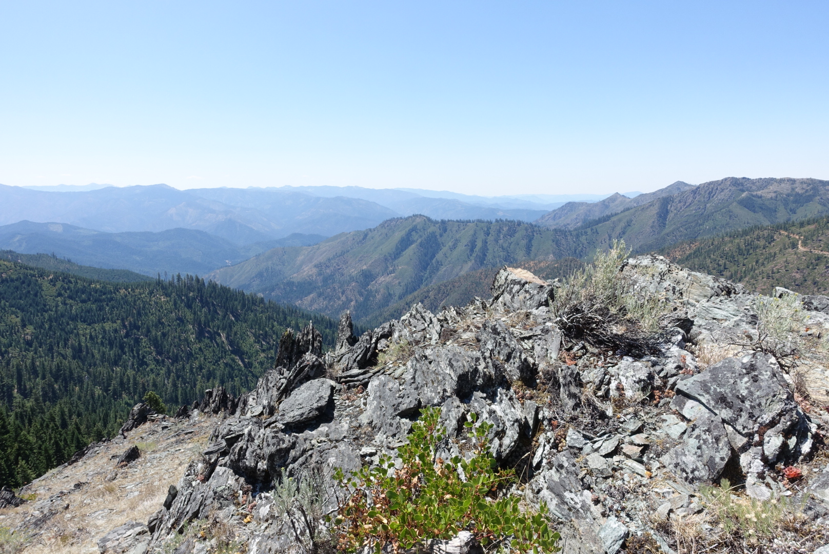
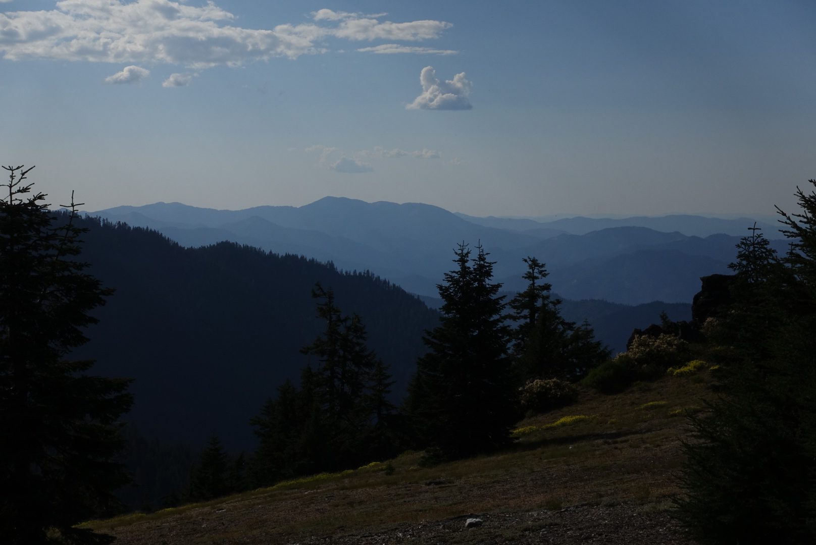
Aside from Shasta, there were many vistas on this section of the trail.
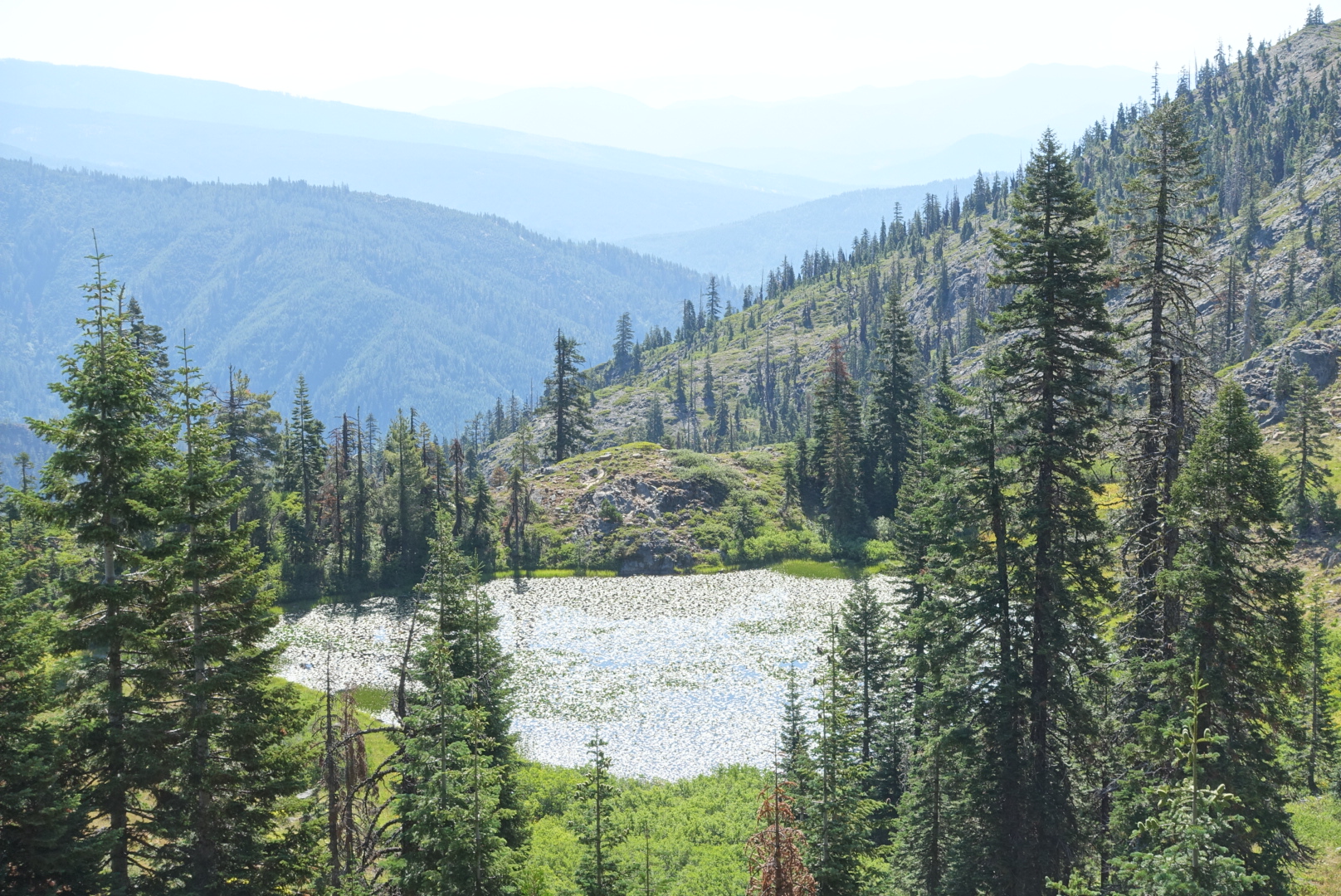
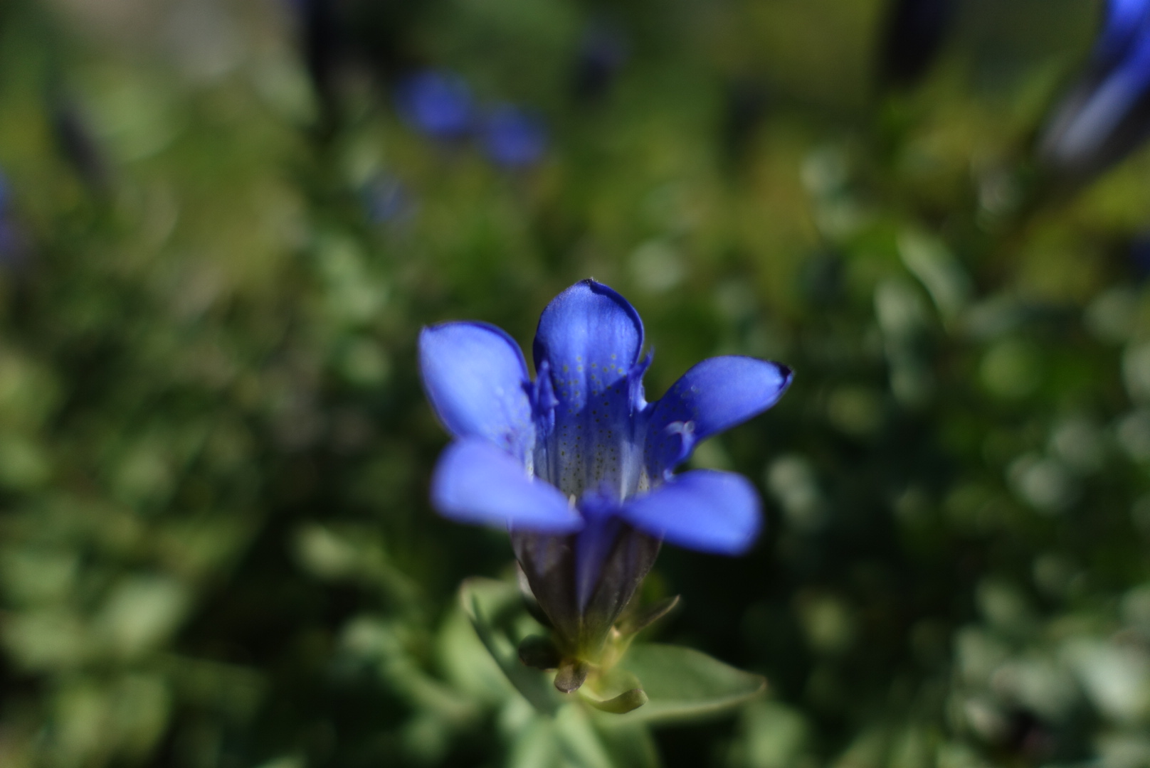
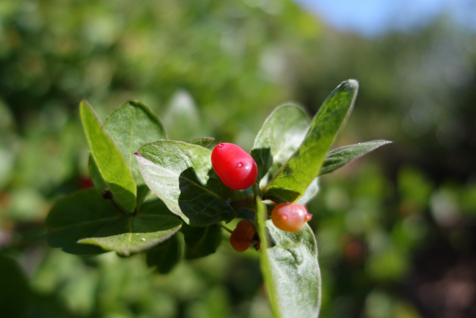
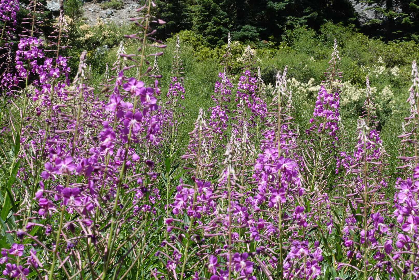
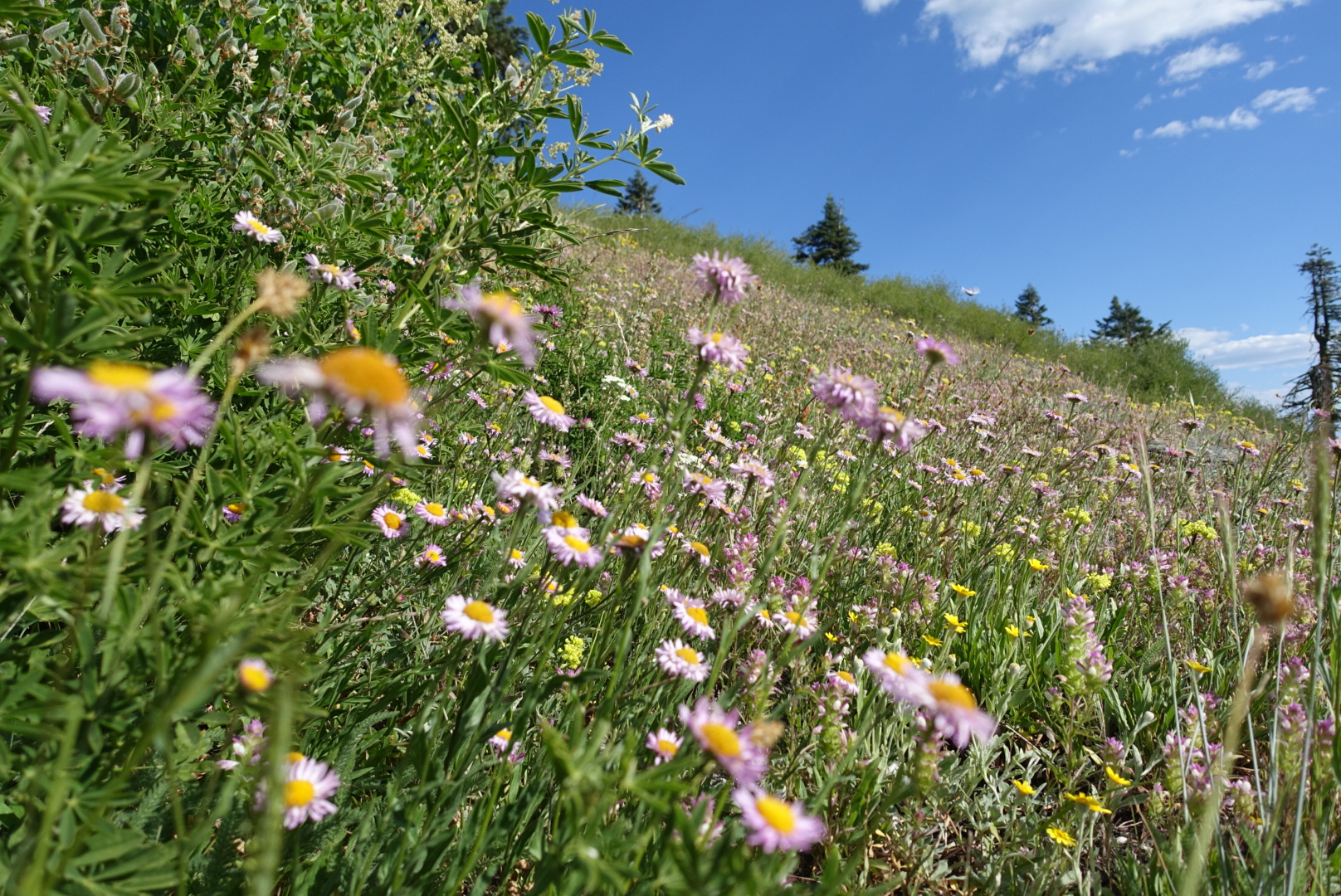
There was also much flora on this leg of the journey, mostly in damp valleys.
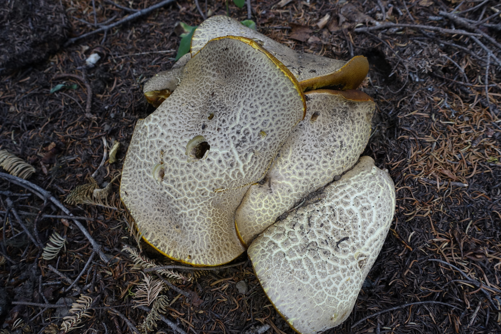
And, there was a flying Mickey Mouse hat.
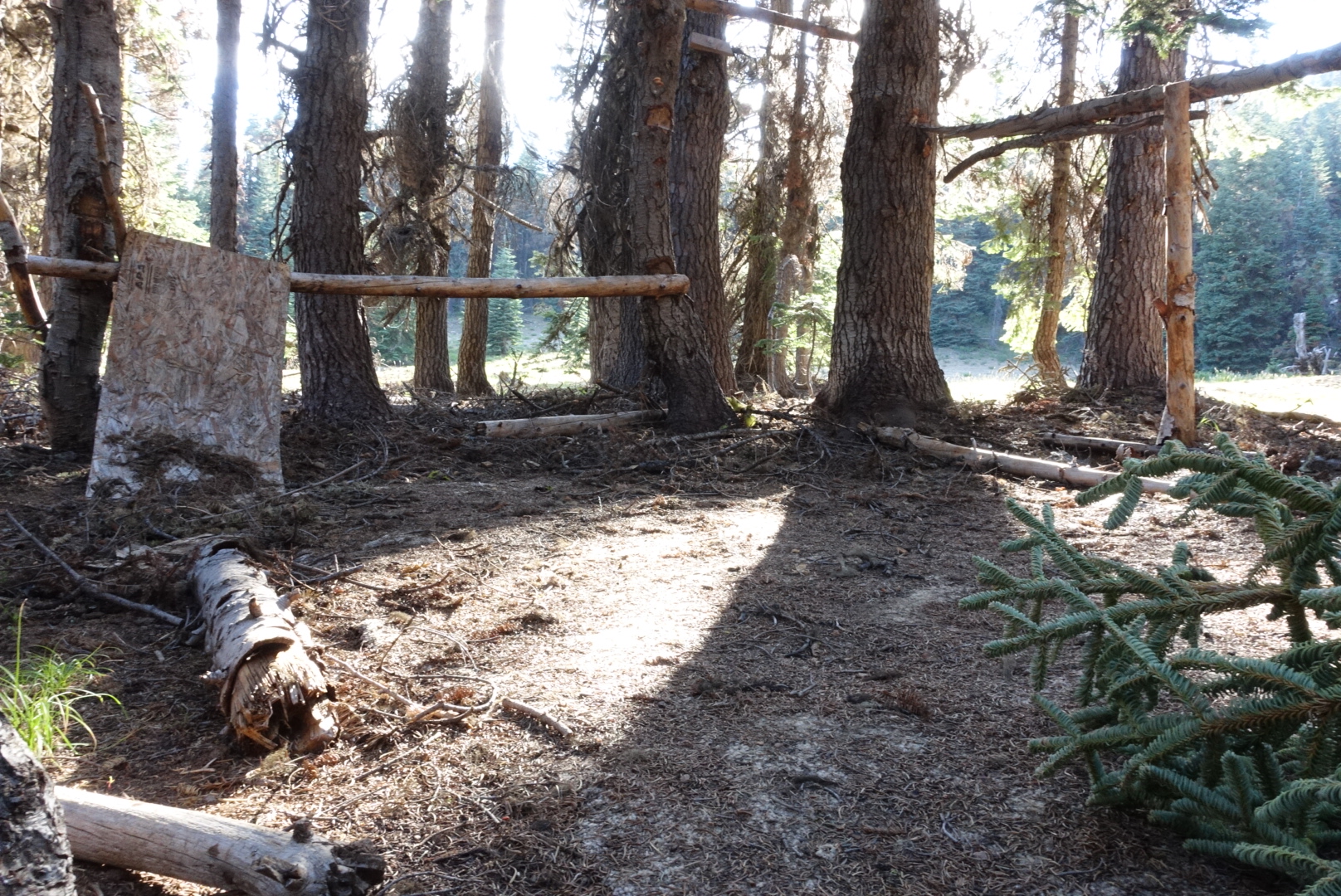
The last time I hiked this section, two years ago, there had been a sorry attempt at building a shelter by the side of the trail. Somebody had nailed beams to trees, made a couple walls of plywood, and put carpet down on the forest floor. Now the carpet was still there, but the rest was in poor shape.
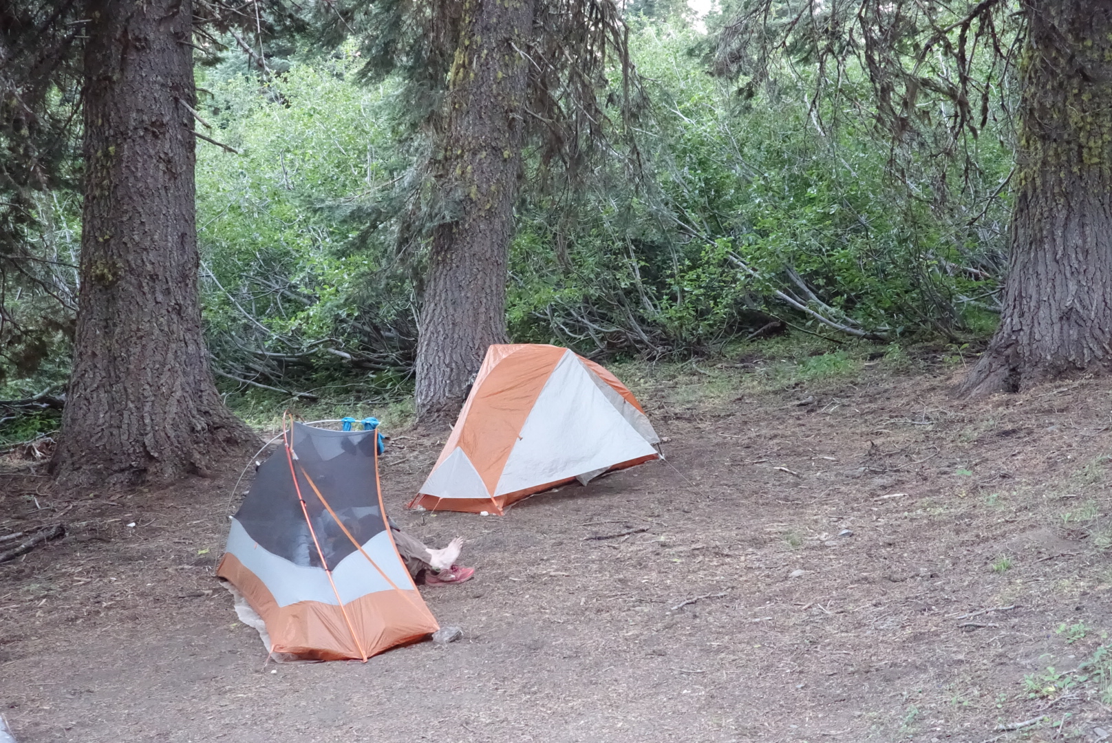
We set up camp a bit early had dinner, and started getting ready for bed. Until suddenly, a cacophony of bells and chimes of different pitches started moving through the forest towards us.
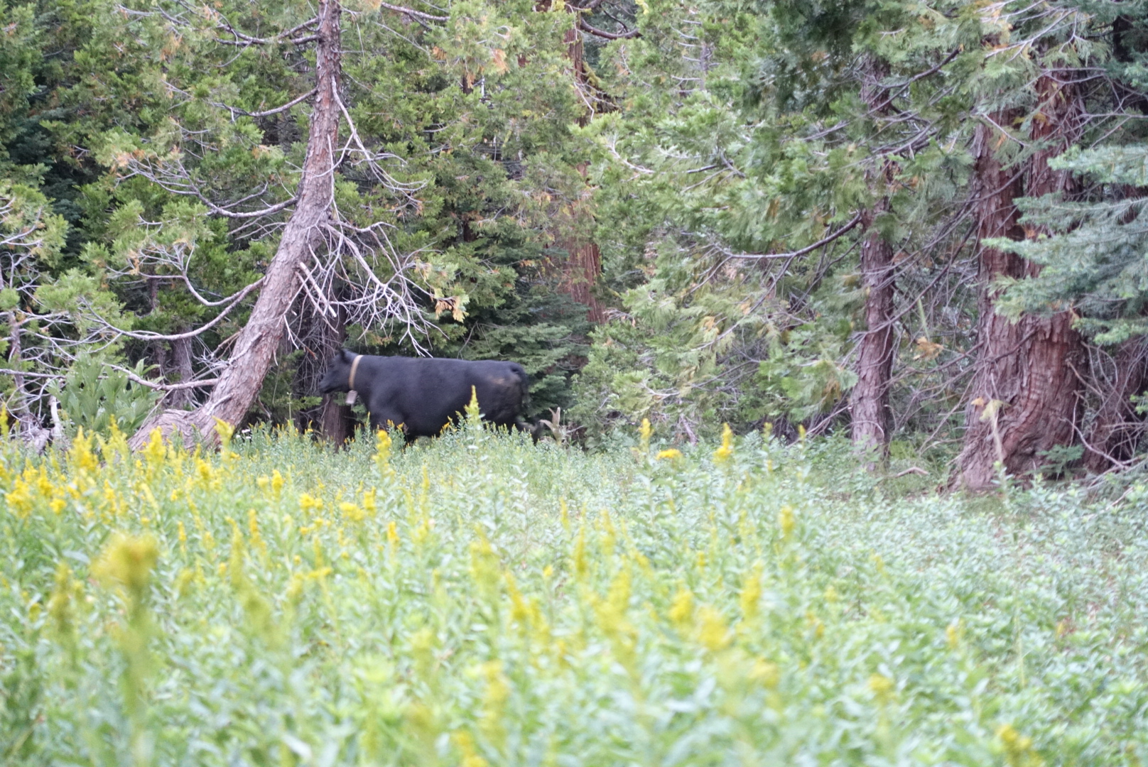
When the herd had passed us by, we went to bed.

(╬ ಠ益ಠ)ノ彡┻━┻ SHASTA!
Busk on!