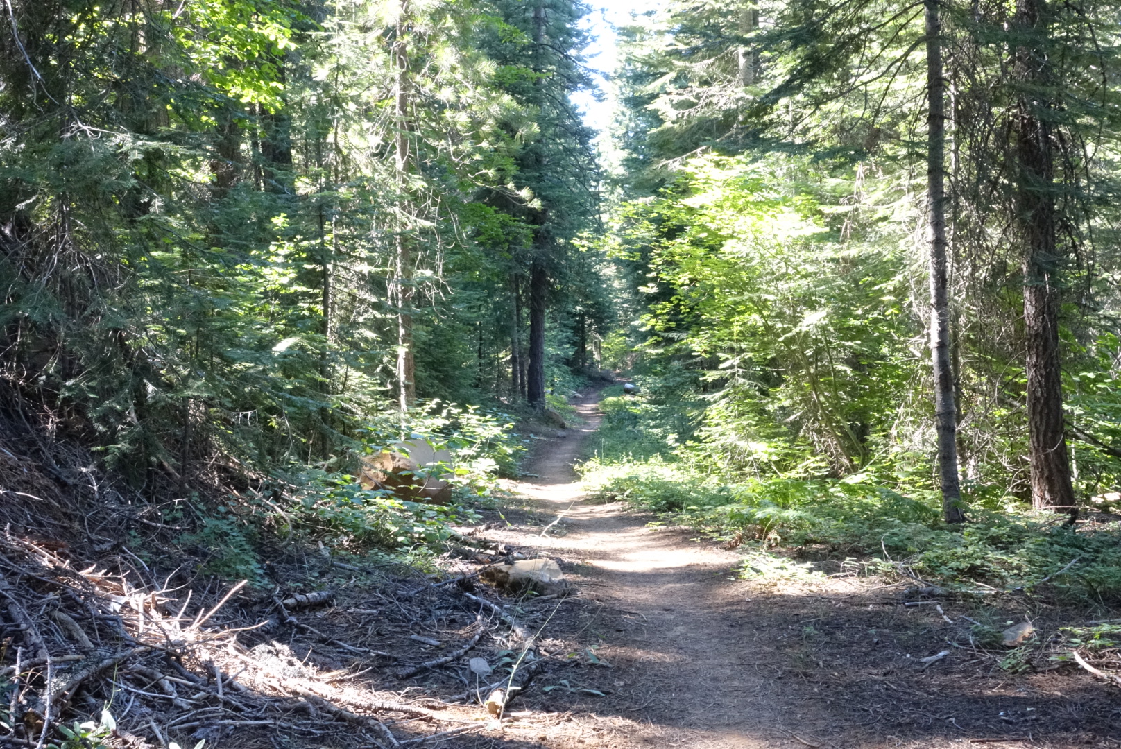
Yesterday must’ve taken a whole lot out of me. I slept late, and did every task slowly and deliberately, sometimes stopping to stare at nothing. I never got around to seeing the falls or using the showers. I wasn’t ready to leave until 11:15.
Elizabeth and I split up today, so we can take breaks and camp whenever and however-long we want. I found some maps in the hiker box that would cover all of the trail to Mt. Shasta, so I wasn’t going in blind without my sister’s phone. Except, they didn’t cover most of today, so I’d be starting out with no way to navigate. This was surprisingly difficult — I was used to checking my phone at each unclear junction, but now I had to pay attention to things like footprints, cairns, and where the other backpackers were going.
While doing the later, I met Mama Bear and Buddy, a thru-hiking mother and son duo, where the son was 9 years old. They were doing about 10 miles per day.
Buddy wasn’t liking the heat today so much — it was in the mid-90s — and he pointed out that on the aqueduct walk, a cloud had followed them across the desert. His mother was not liking the heat either, especially with a pack for two, and with the uphill we were climbing, and the fact that she’d started the climb with a beer in the park.
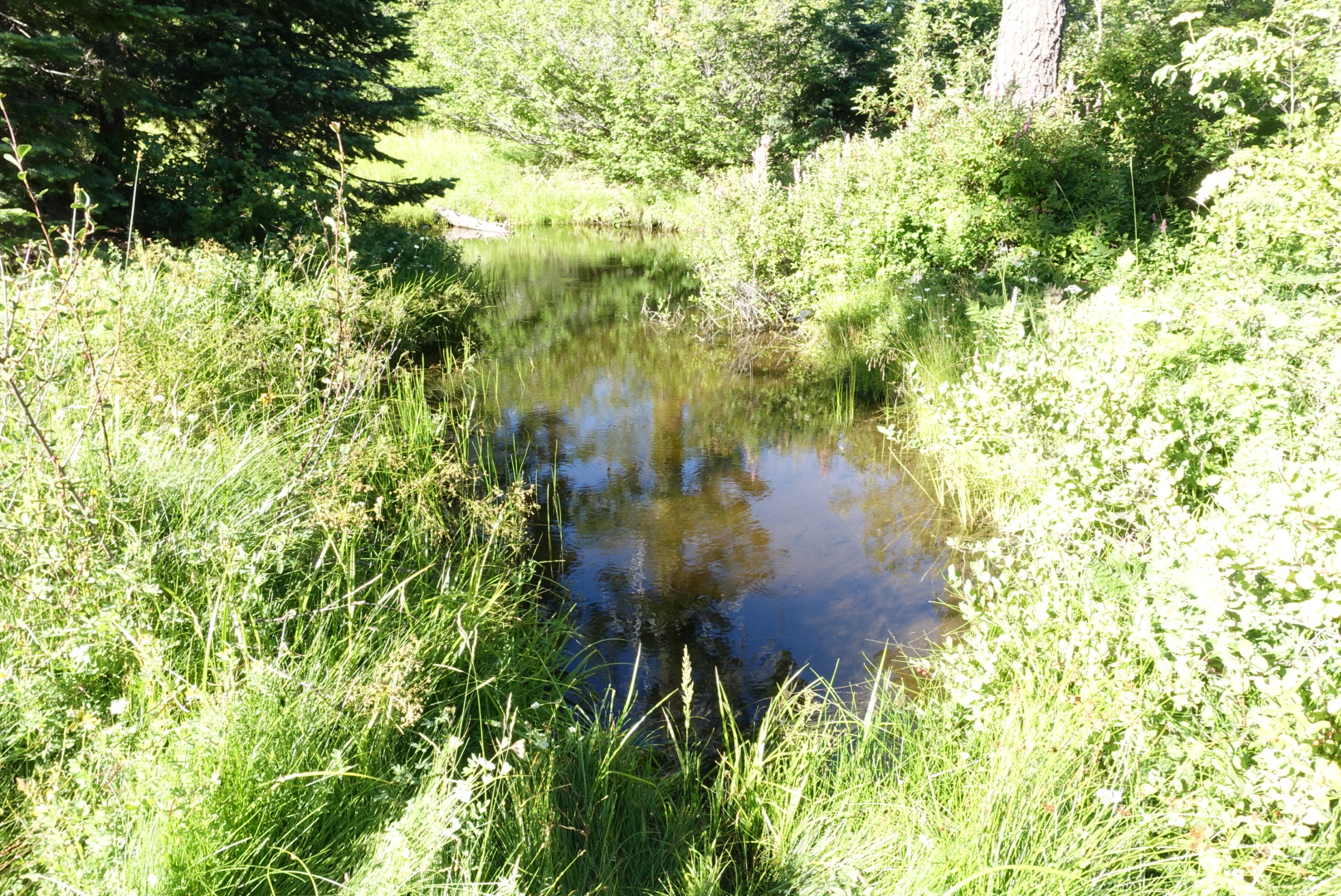
Without navigation or the water report, I didn’t know where the water was, so I filled up to 2 liters at every chance I got. This kept my pack heavy — and had me taking water from some terrible sources — but I never went thirsty.
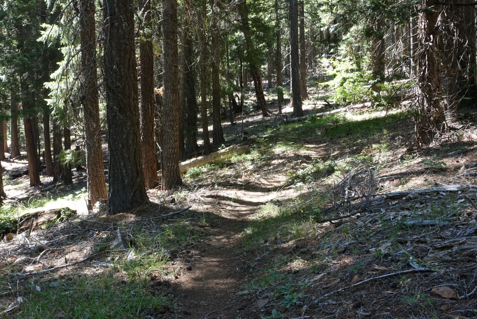
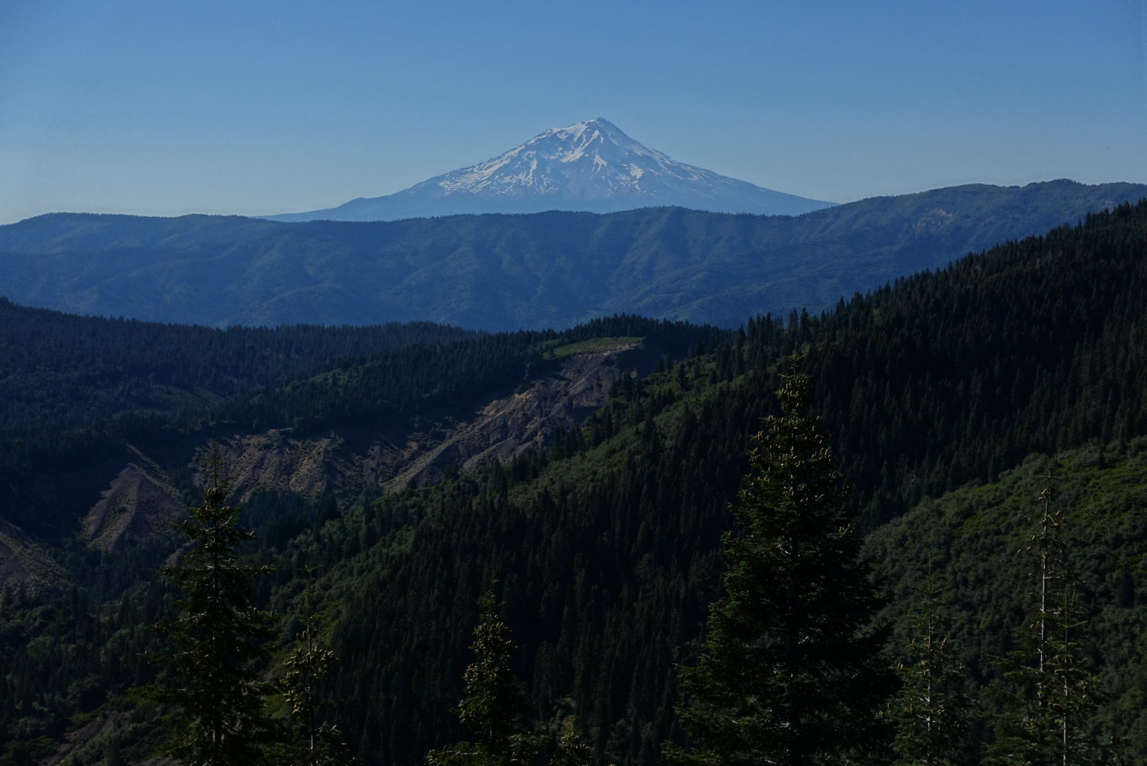
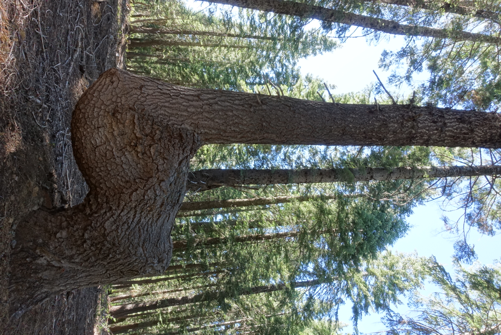
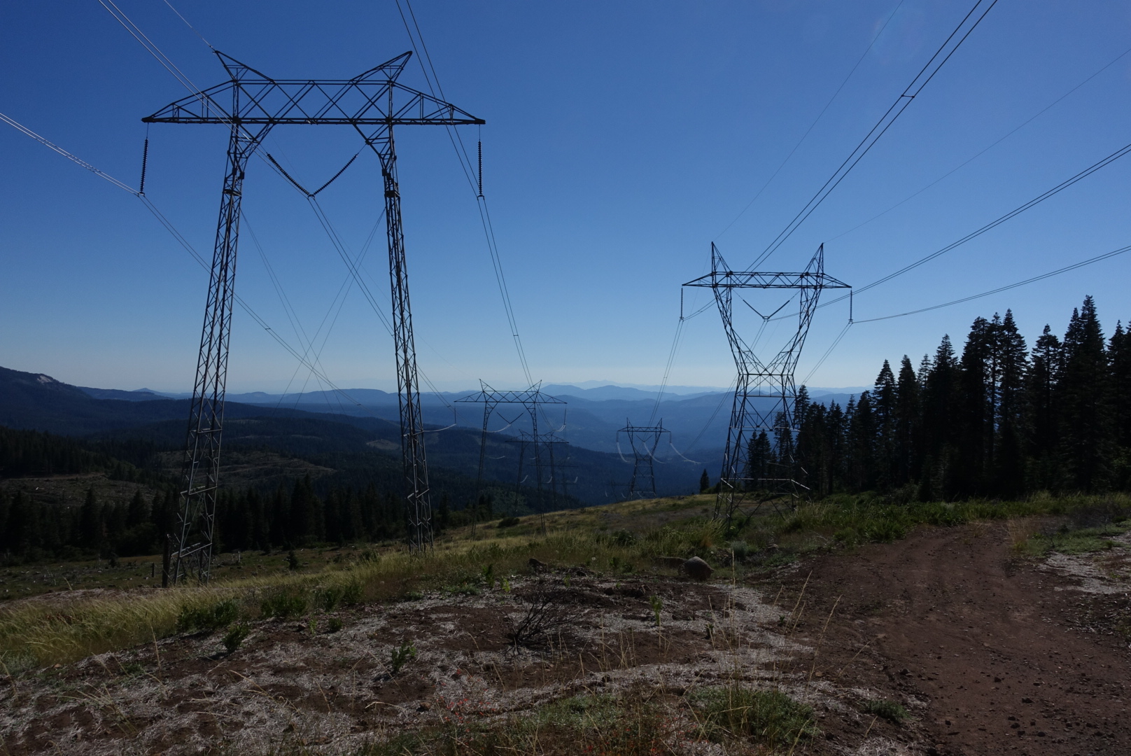
The forest was like the rest of Northern California, except as I progressed, the ground got lusher and lusher. It still had the standard Northern California signs of industrial use of the forest.
By the end of the day, I’d covered a decent number of miles despite the late start, and camped at Kosk Spring. With Elizabeth, it turned out.
