We’d had a nice time in Tehachapi. We saw the ostrich farm (Elizabeth wants to farm ostriches now). We’d seen the brewery (Honey Wagon Brewing. It seems to specialize in sour beers and flavored barleywimes. Elizabeth liked the hazelnut and the chocolate barlrywines. I wasn’t a fan, the coffee barleywine tasted like boozy Tootsie Rolls). We’d even seen Bakersfield and the Borax Pit. It was now time to get back to hiking.
We started where we’d left off, at Tehachapi Willow Road. But today, we had a belly full of town food and coffee, two days rest, and… No backpacks.
We hiked a fast 8 miles to highway 58, where Elizabeth’s boyfriend drove our packs to us (our packs, and ice cream).
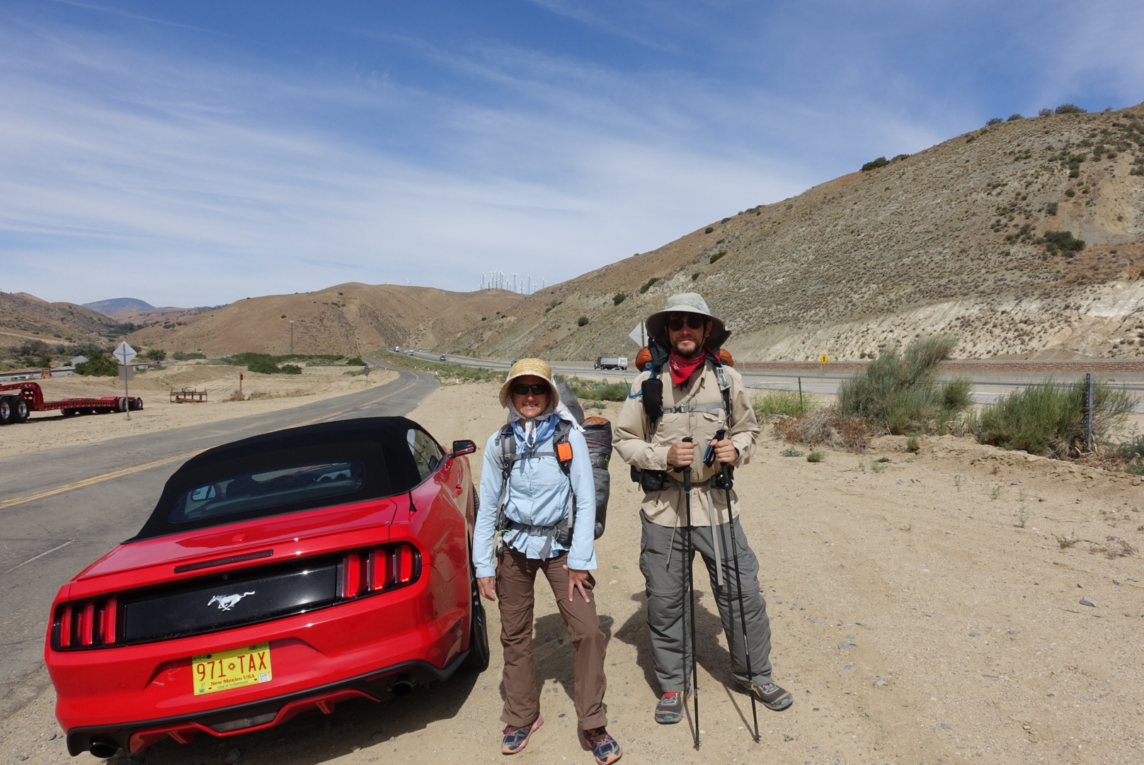
With our packs back, we set off across Highway 58, and were on the trail for real again.
On the trail register box just across 58, someone had written “Cheryl Strayed was here ’98”. My understanding is that she did start here…. But isn’t that the wrong year? (Not to mention that the register box probably wasn’t that old).
The trail paralleled the highway for a while, and we saw some interesting things.
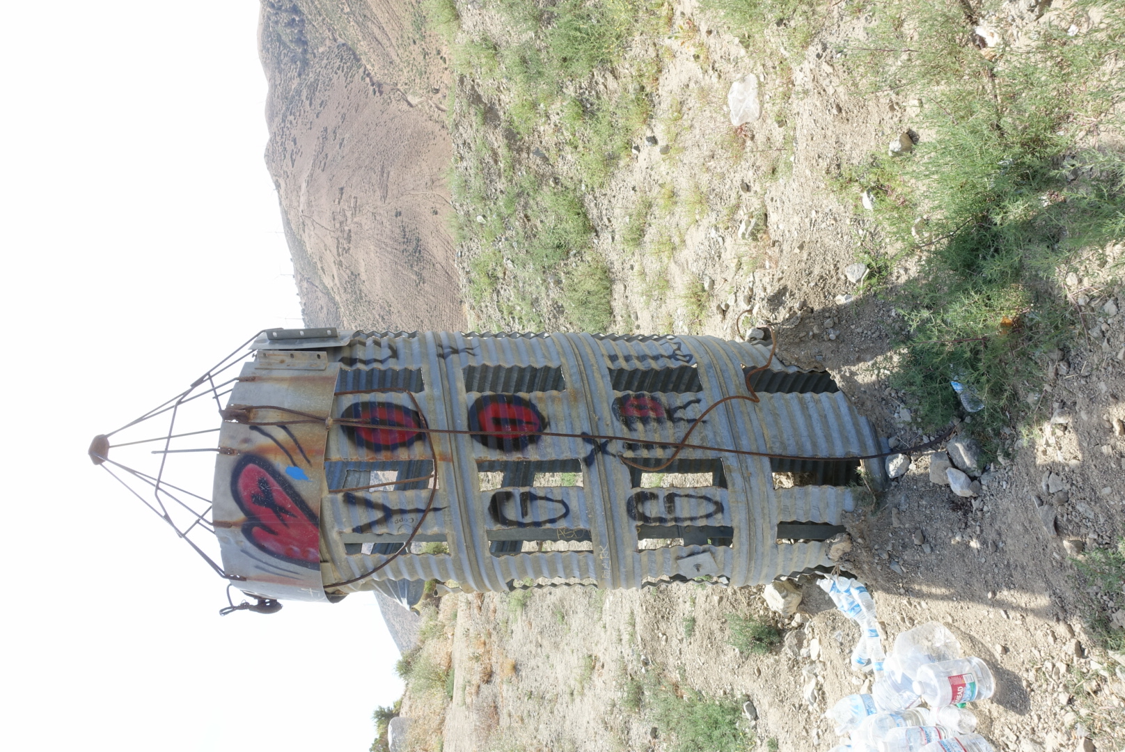
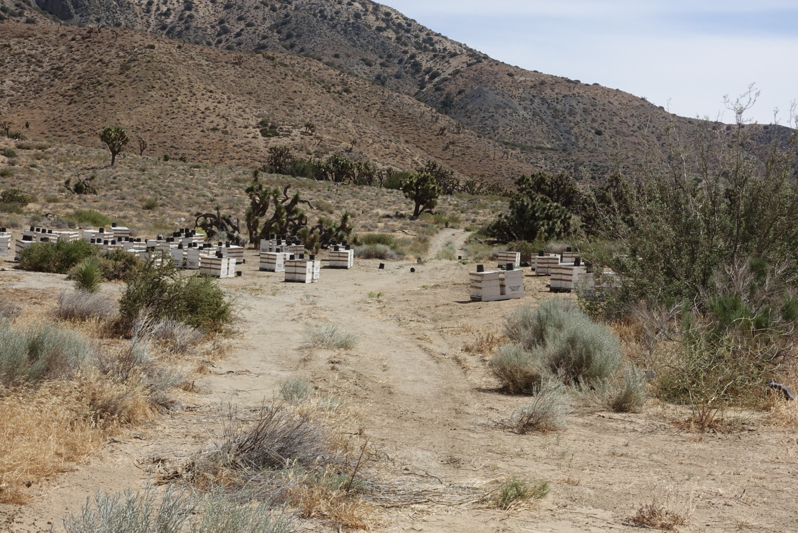
The next section of the trail had been destroyed by a mud slide. As it happened, earthmovers were at work as we walked by. They waved as we scrambled out of the way.
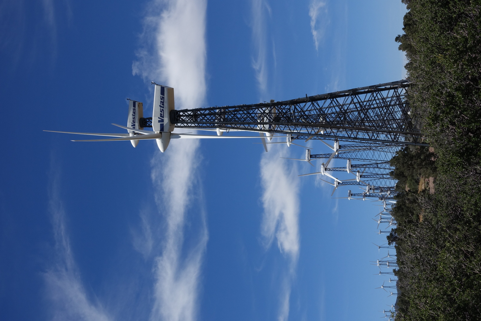
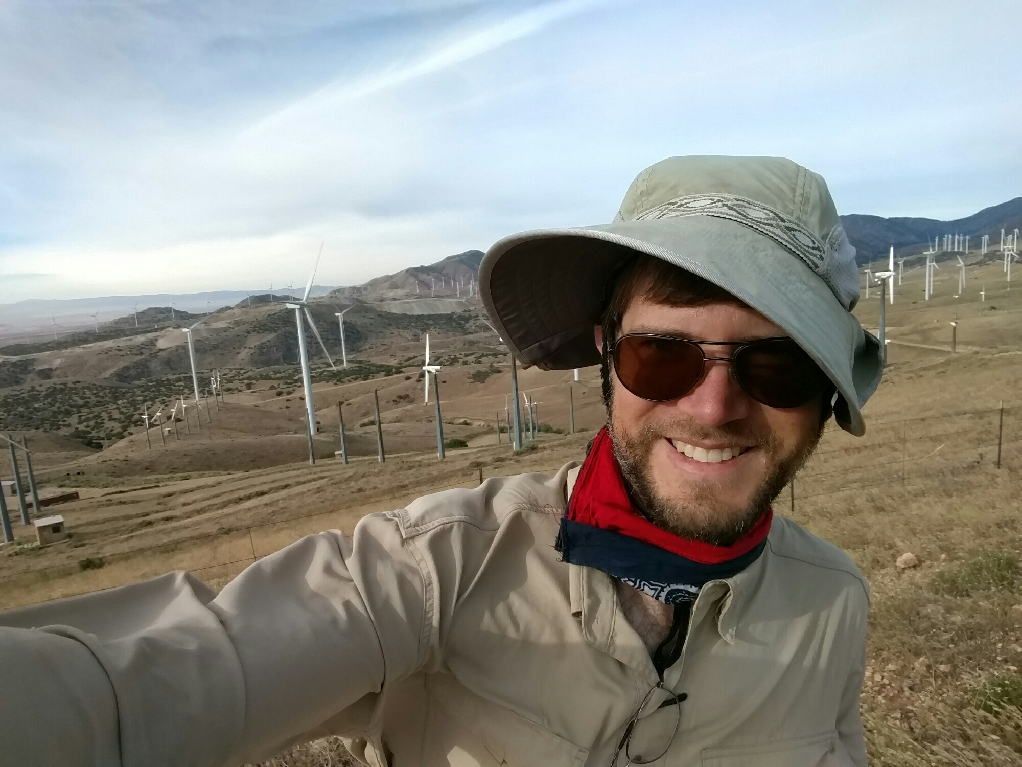
The trail from then on was ordinary. It was hot (about 95), but breezy. And there were more windmills.
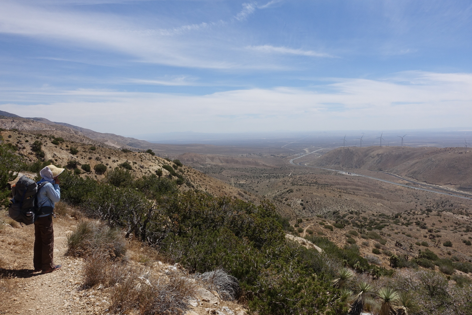
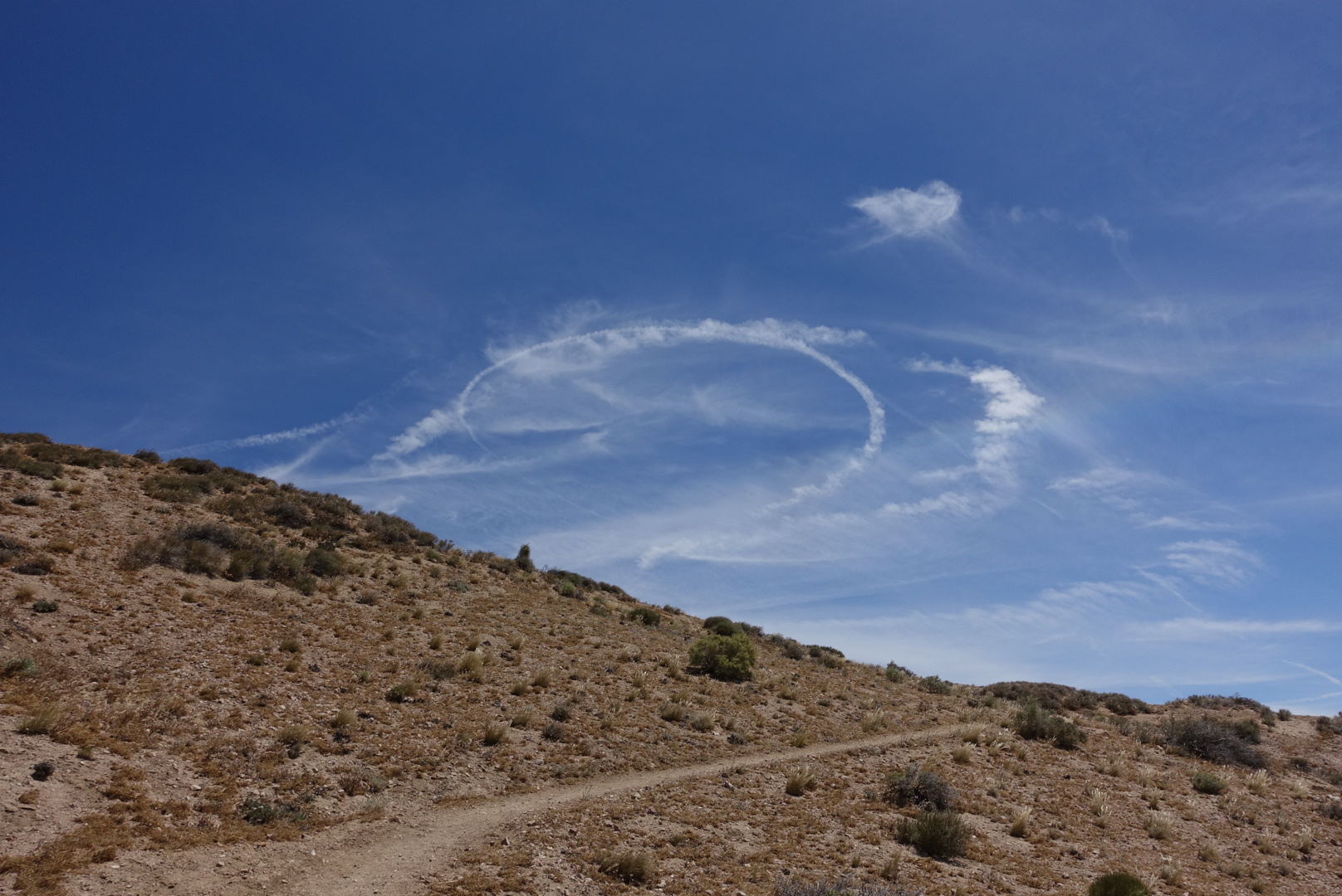
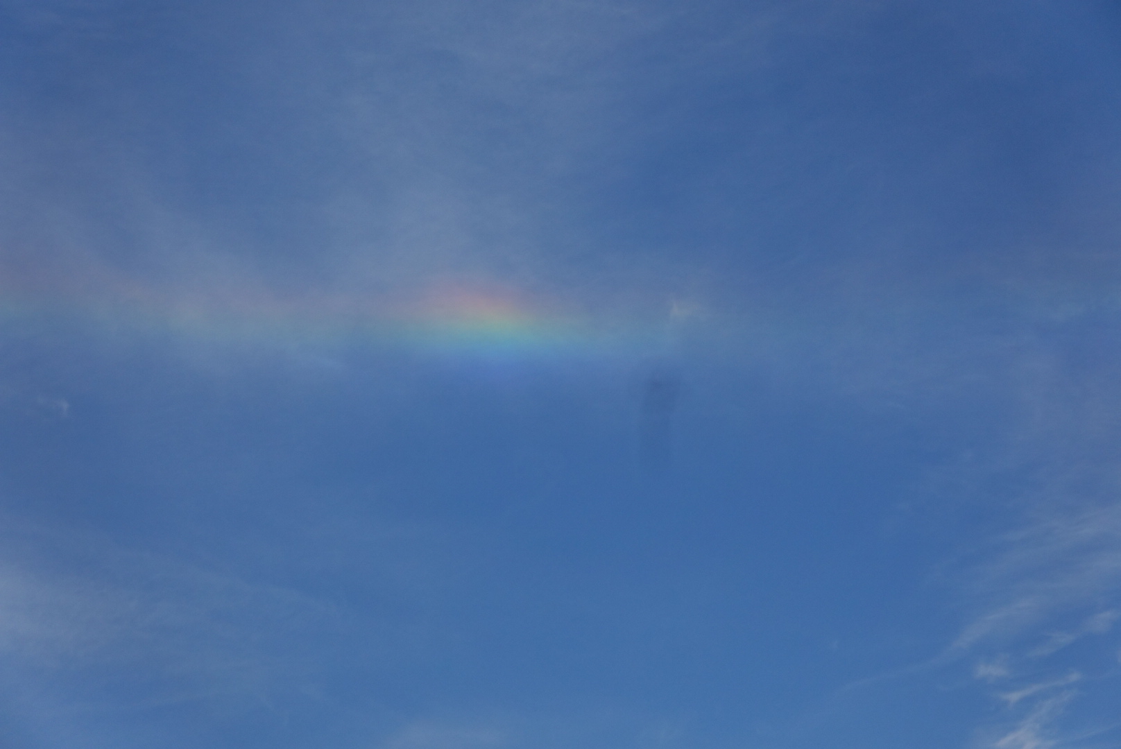
Up here, it got windy. Really windy, the kind of wind that makes you think they should put a wind farm here.
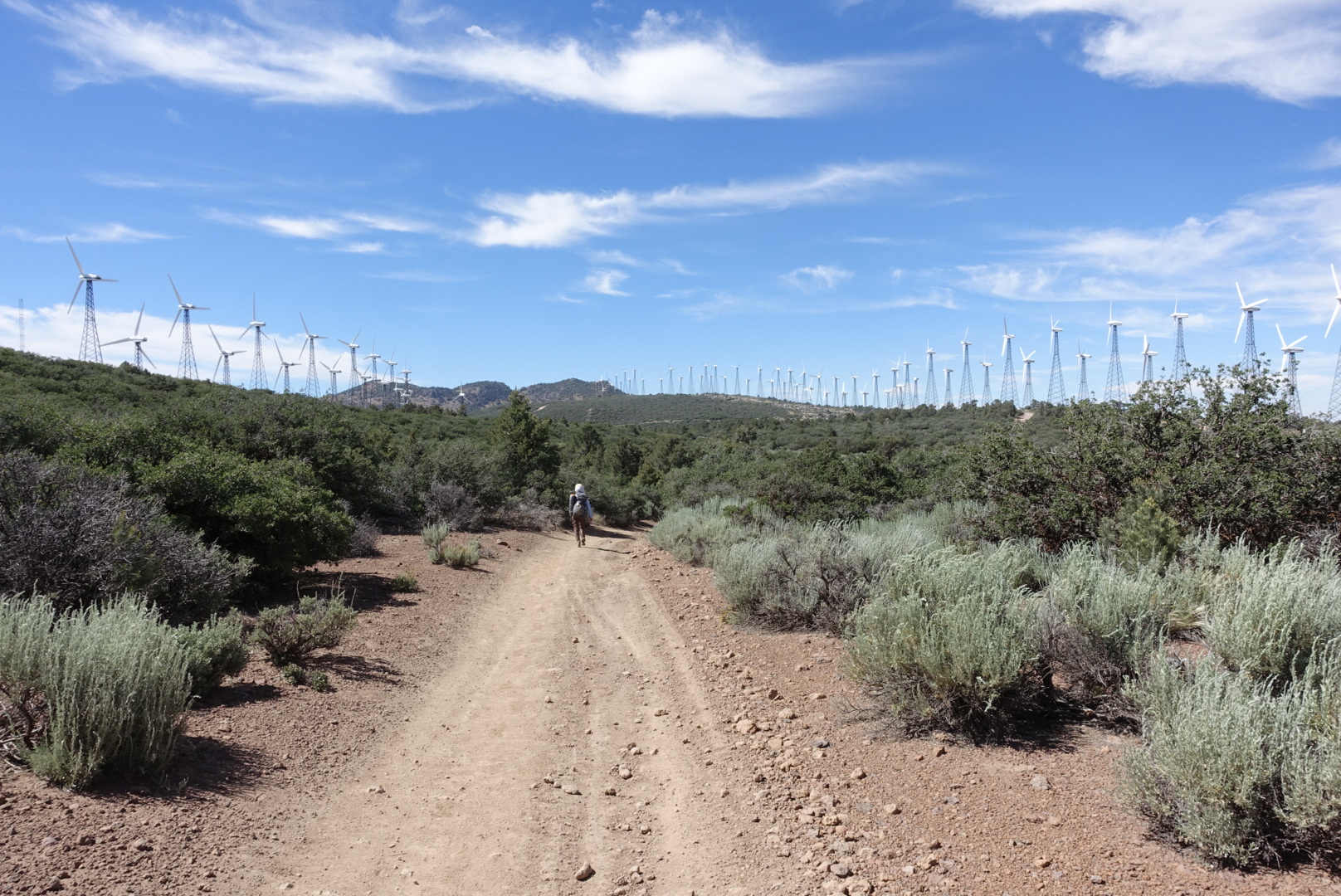
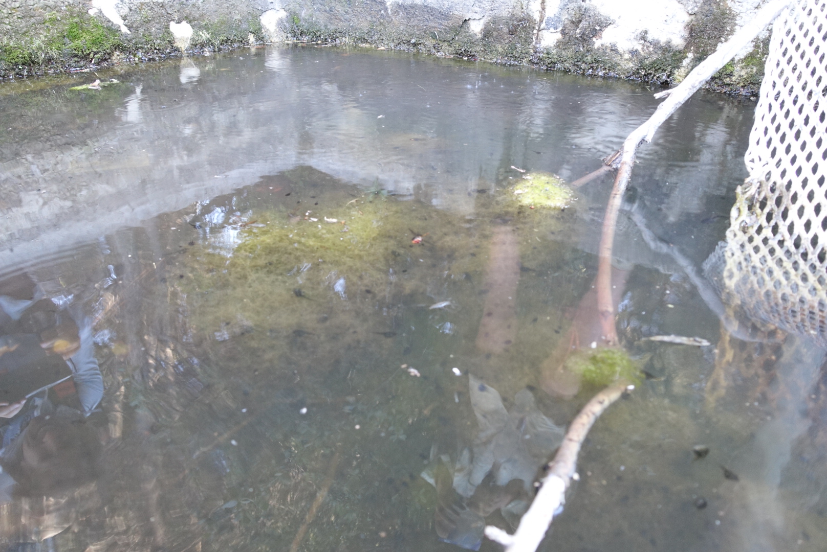
Golden Oaks Spring was the only reliable water for a long stretch – 25 miles before, 18 after. It ran slow. The trough below the spring pipe was full of algae and tadpoles. There was a long line of hikers waiting their turn for the fresh spring water from the pipe. To keep things moving, I just scooped mine from the trough. Pre-filtering through a bandana and filtering with a Sawyer Squeeze turned the tadpole-filled pond scum into perfectly good-tasting water. (I mention this because I’ve never seen anyone else pre-filter on the PCT. IMO it should be a more popular technique.)
In the hour we were there, nobody else took water from the trough.
Since the pond area was crowded, we moved on, hoping there’d be a good campsite coming up. As it happened, there was a terrific site a couple miles ahead, with a view of the sunset, and not too much turbine noise. We made camp, and had a good night’s sleep.
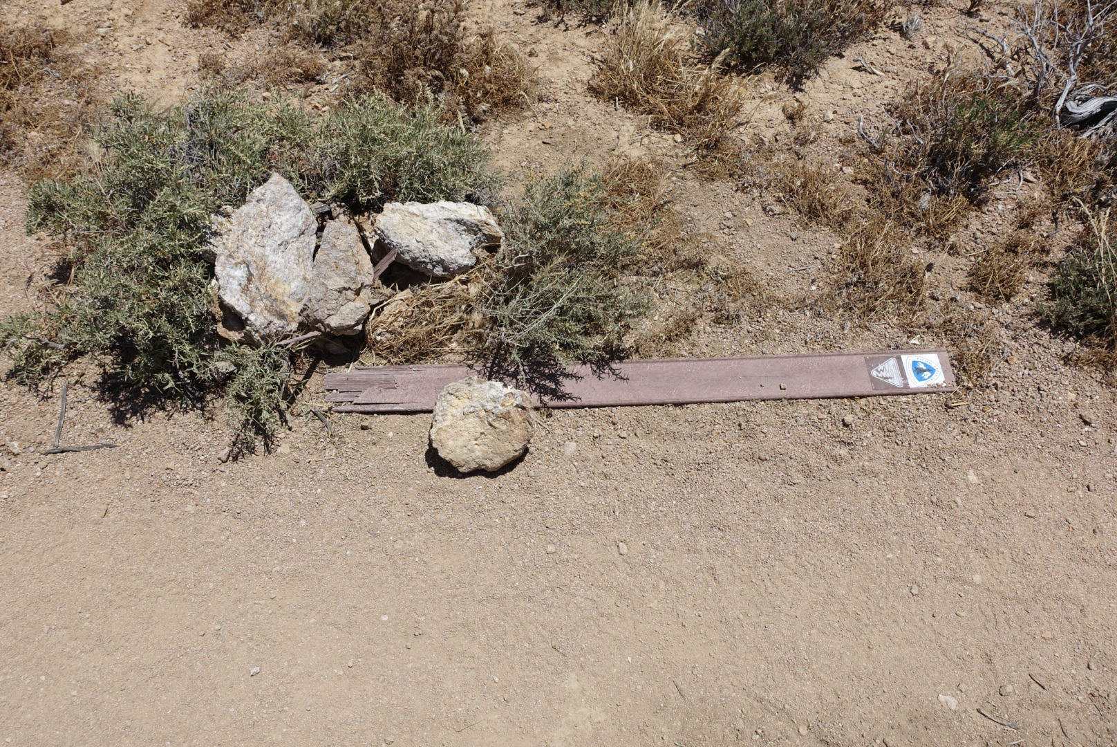
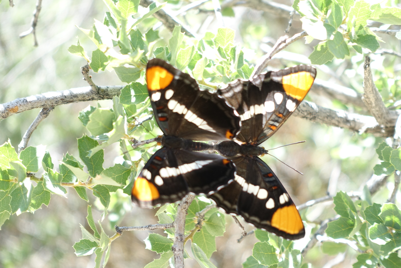
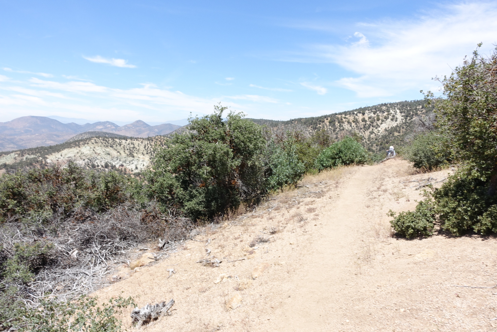
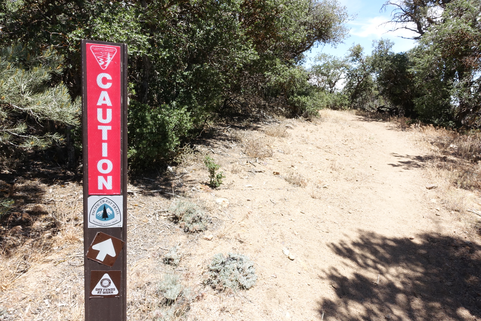
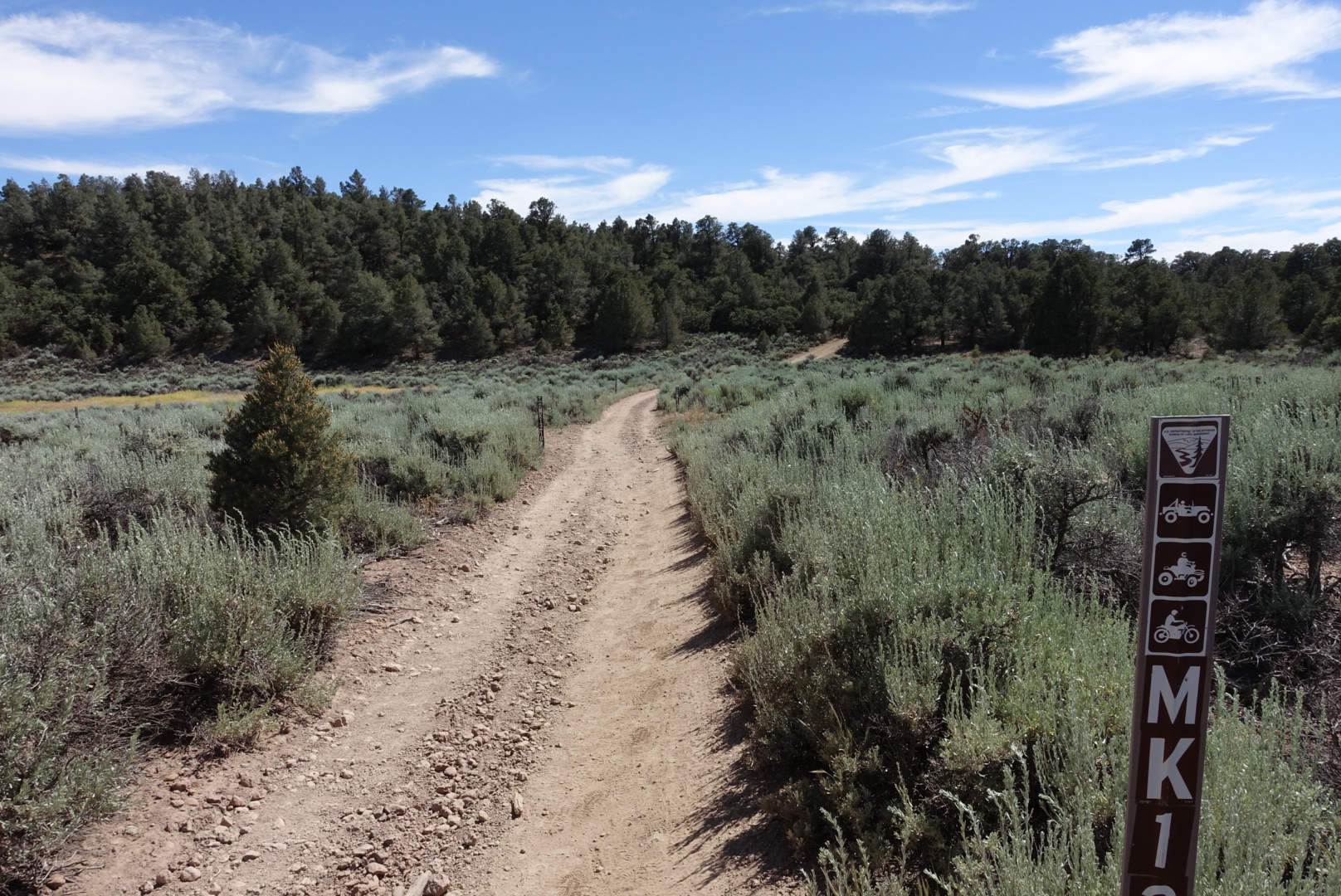
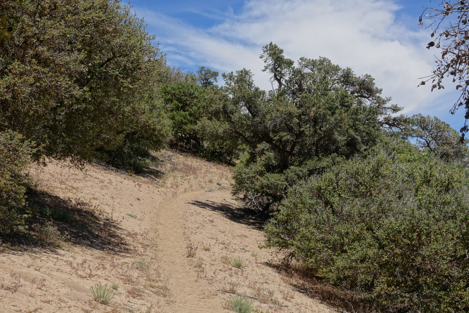
Some pictures of today’s trail follow. I’m thinking of including a few pictures like this every day:
… that butterfly pic seems to exceed the ESRB rating of this blog … what is the ESRB rating of this blog? Haha!
And happy belated birthday Marcus, I’m impressed your sis resisted the urge to eat those cupcakes before giving them to you… and that she stuffed 35 candles on them!
ESRB rating? Everything is waived out here!
on that final sign post picture i thought: dirt bikes, atvs, jeeps, and … tornados?? but, i guess just mountains, trees and streams 🙂