We had good light when we woke up. Our more exposed campsite was cold (high 30s), but also got more light.
Another group of hikers had camped right next to the campsite’s outdoor toilet last night, so nobody could (politely) use it. Fortunately, they were also the types to pack up and leave in the early morning.
Today warmed up quickly, which was nice, but then sent us up the peaks of the ridges and down to the creeks in the valleys radiating from Glacier Peak. It did this again and again, for a total of 8000 feet of climbing and 6400 feet of descent. Some people call this part “The Octopus”, since you traverse the many tentacles of Glacier Peak. It is reputed to be the most difficult part of the PCT.
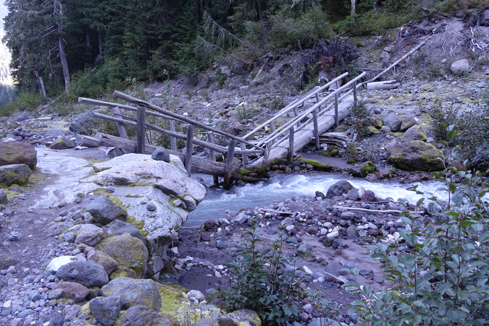
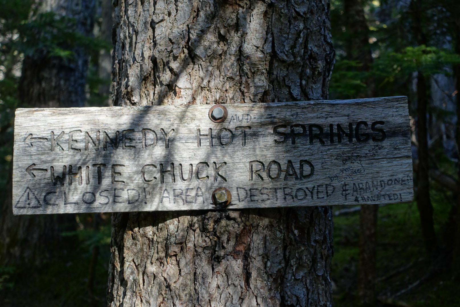
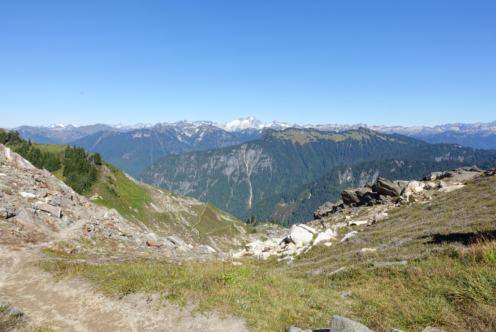
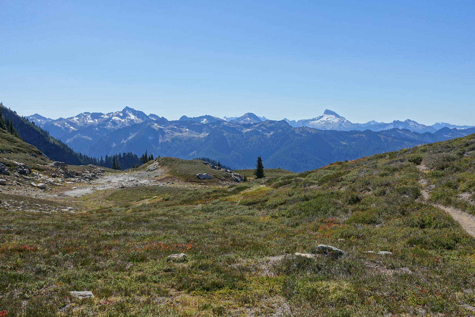
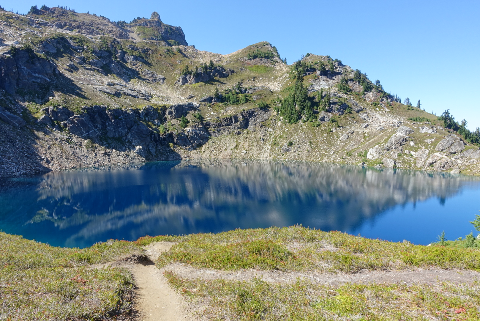
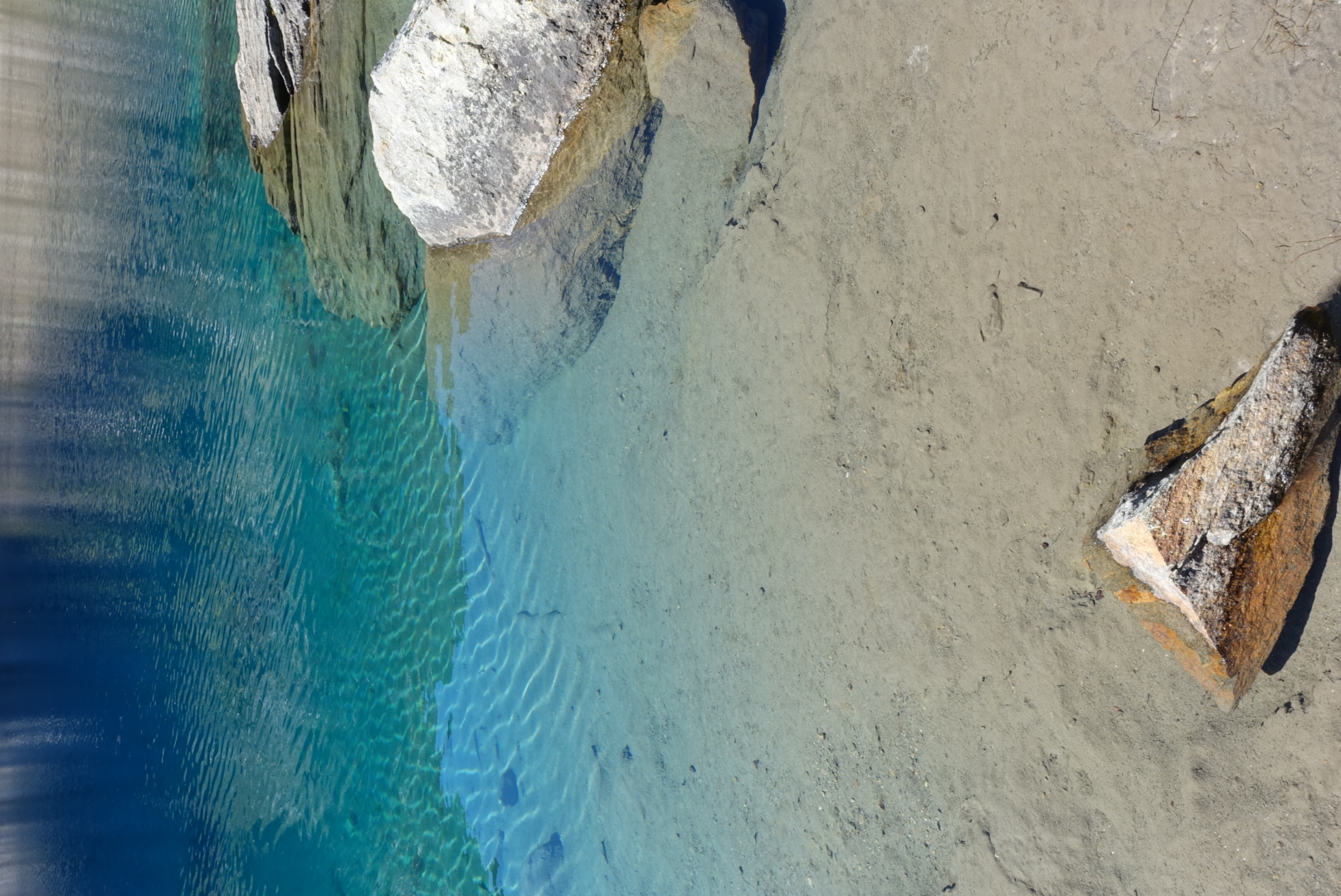
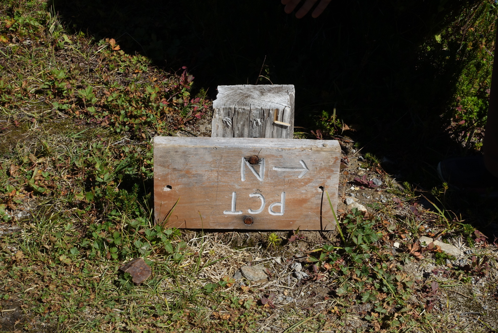
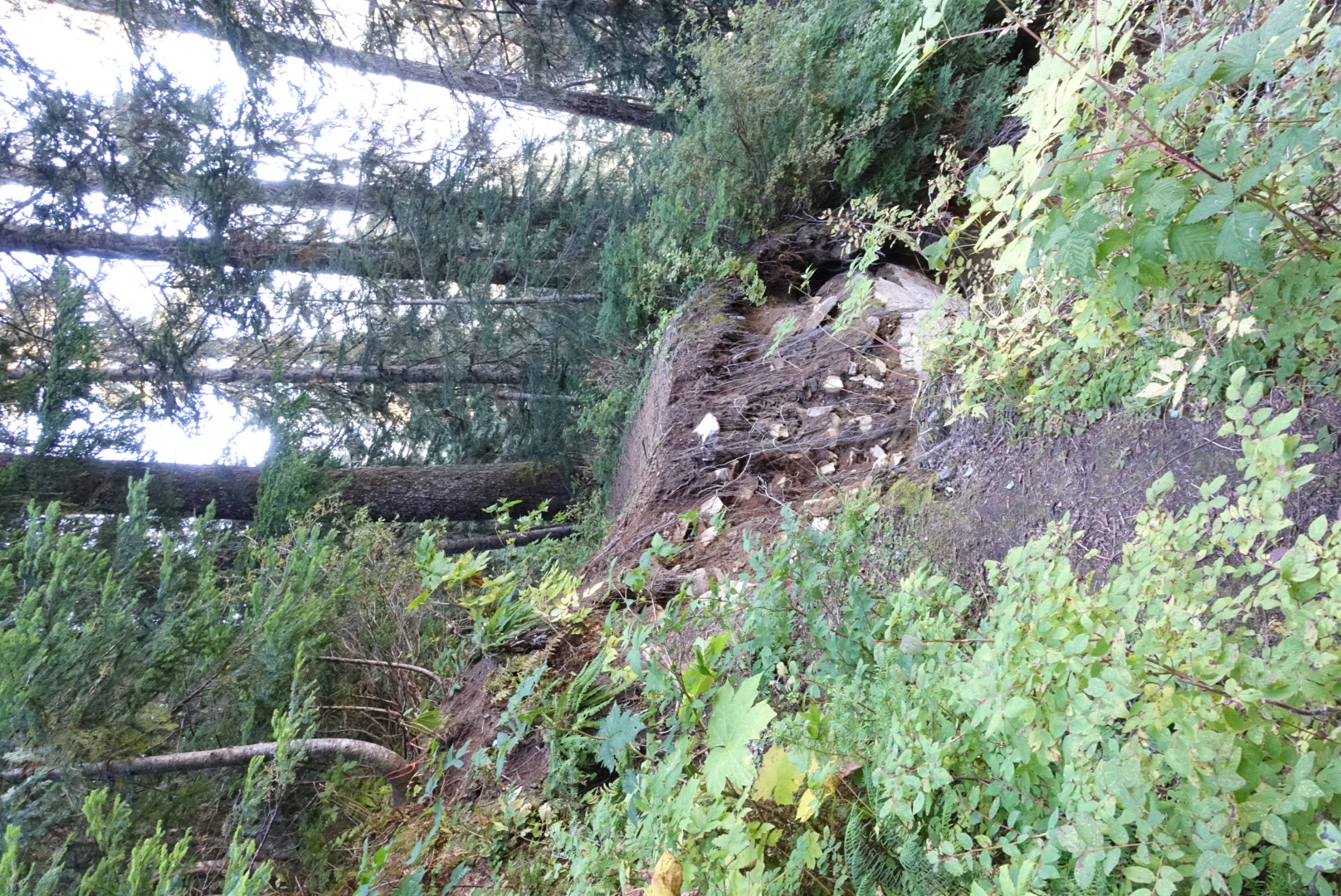
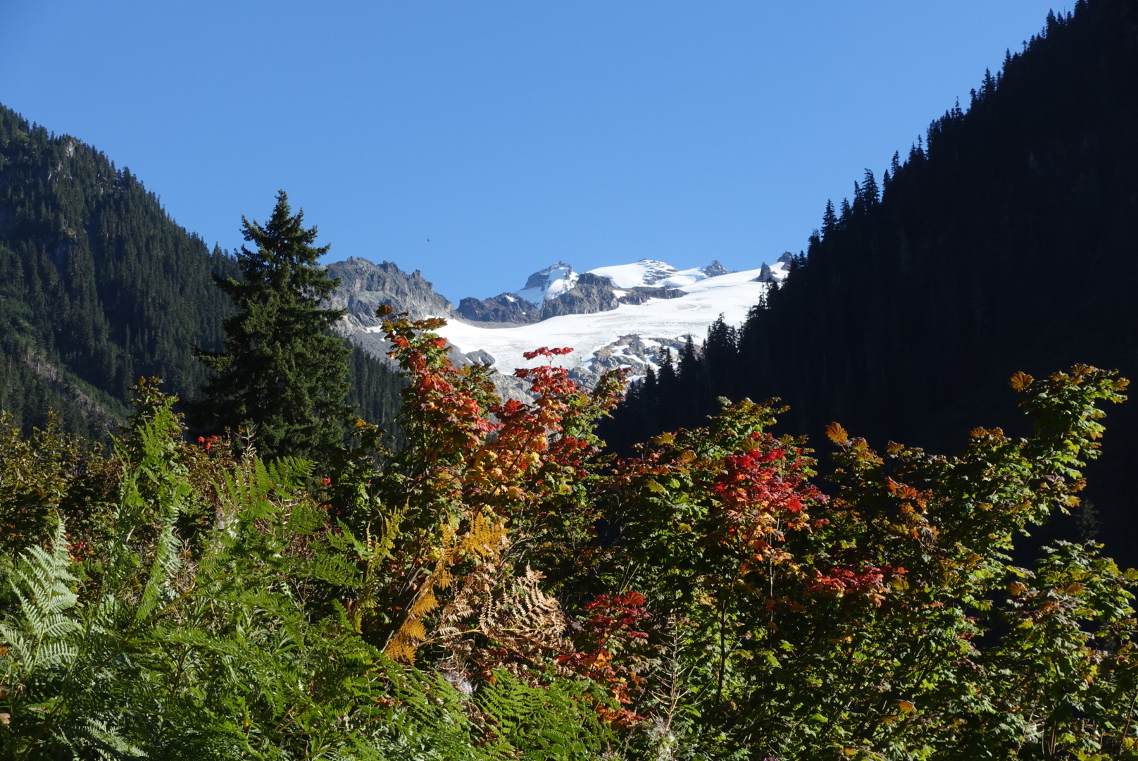

I hiked very slowly today. The uphills and, especially, the downhills had tired me out. By the time we were at camp, the sun was setting. And we’d only covered 20 miles.
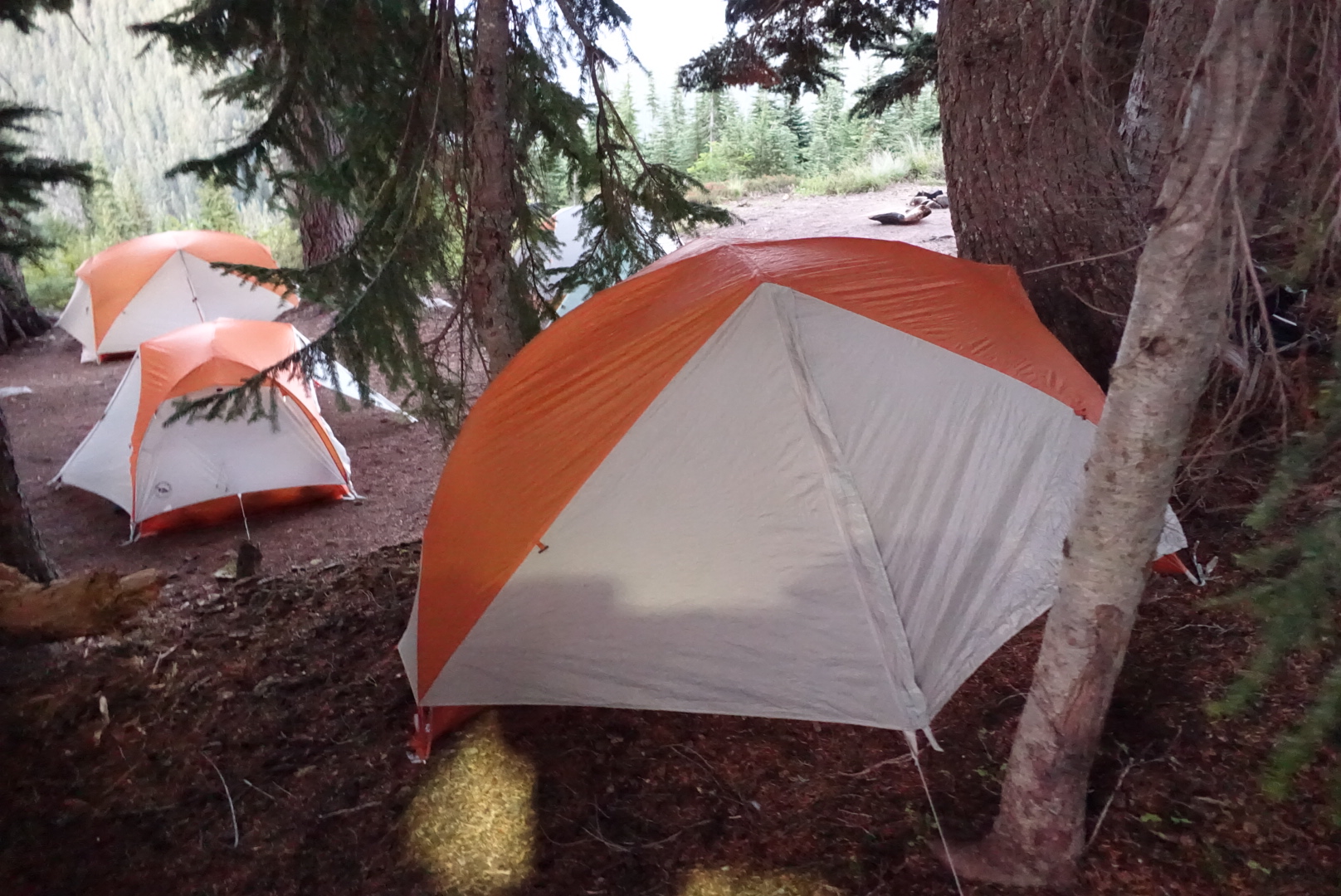
Other hikers had the same idea about camping here. After I’d set up, there were 6 people in a site meant for 2. It was awkward, but we all fit.
So it seems that Washington will punish you with elevation while the rainclouds recharge.
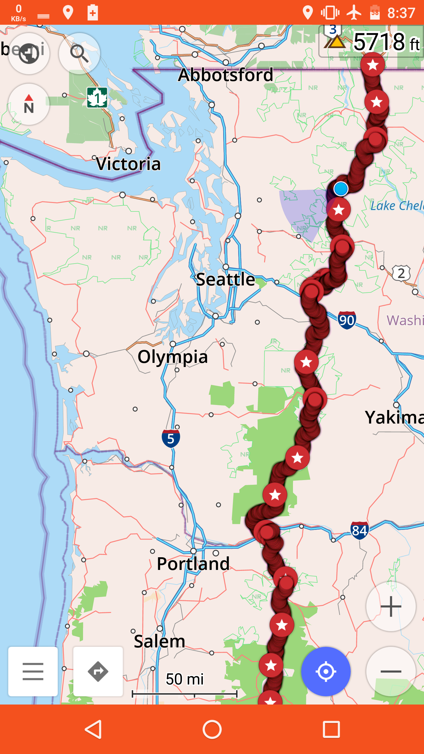
130 miles left.
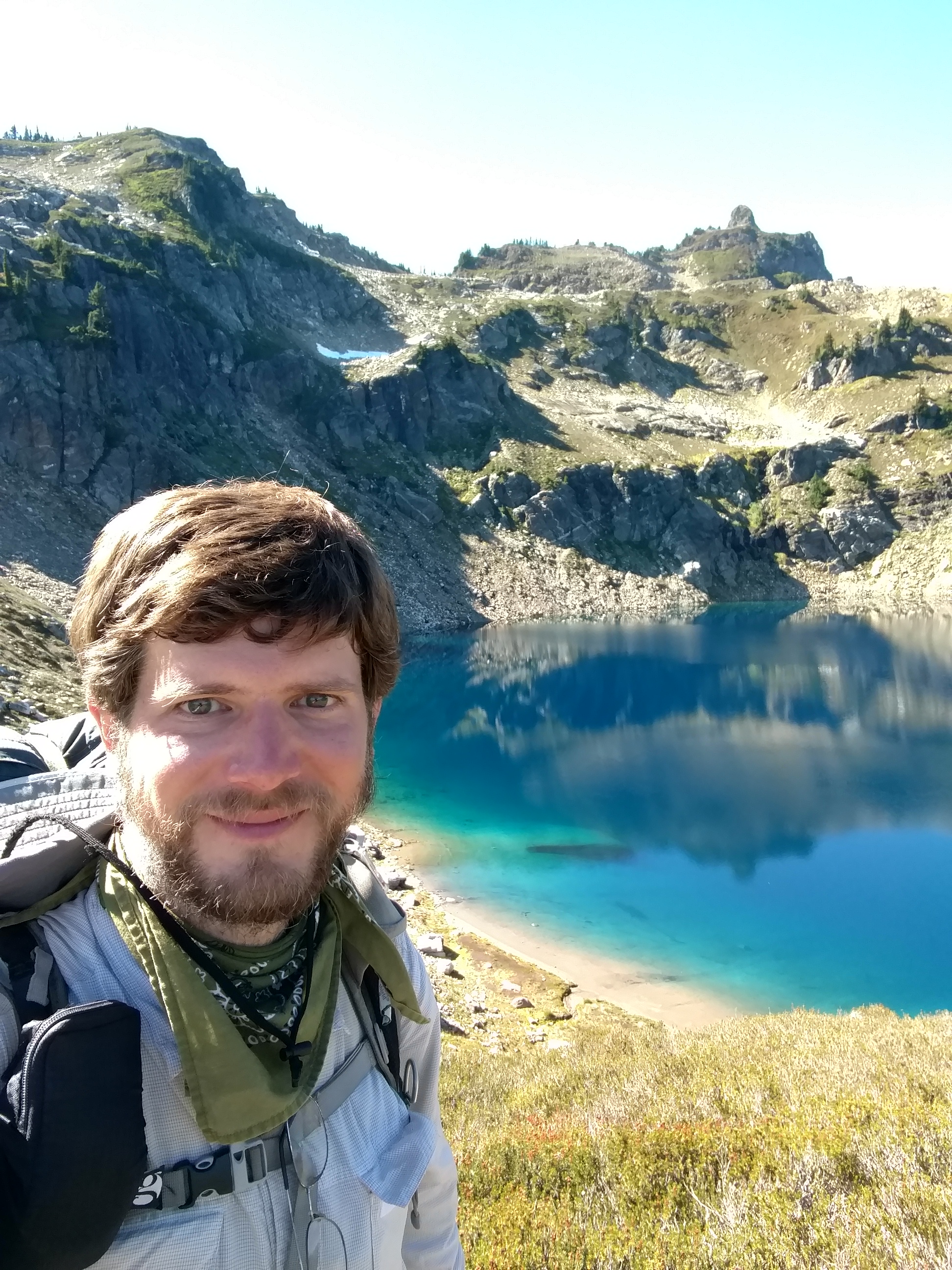
Fall on the trail. Snow is next. Time for the end.