Visiting Bend was a lot of fun. There were many great places to eat, resupplying was quick and easy, and I was able to replace my slow filter at an actual REI.
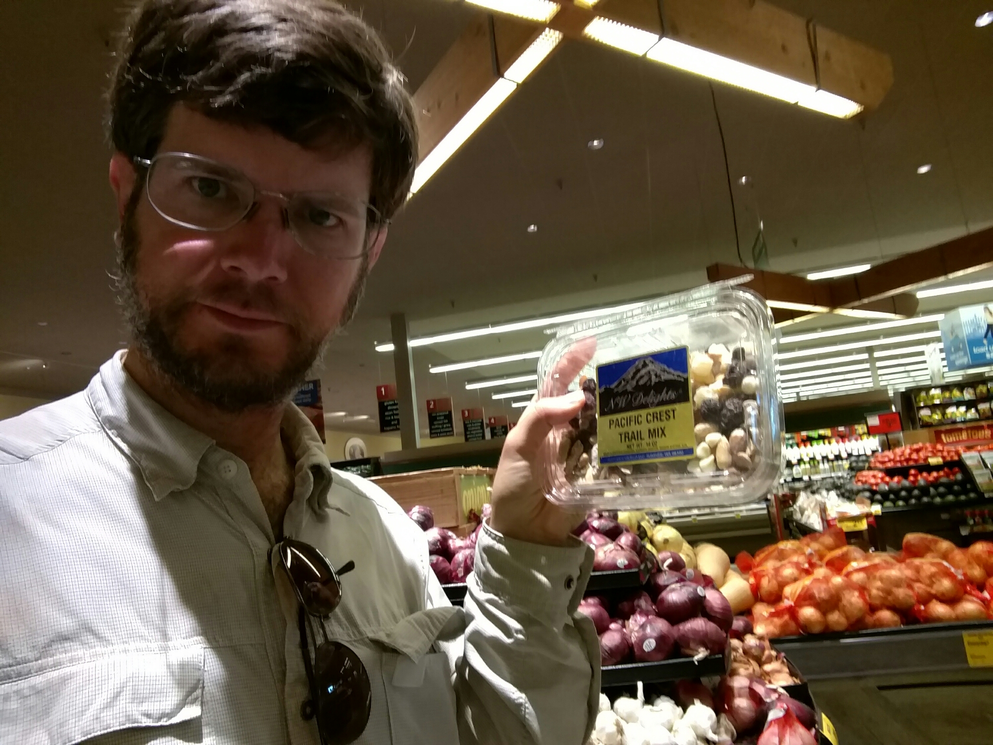
I happened to be in town during a beer festival called Brewfest. Bend being something of a center for brewing (there are more than a dozen breweries in this fairly small town), Brewfest is a major event.
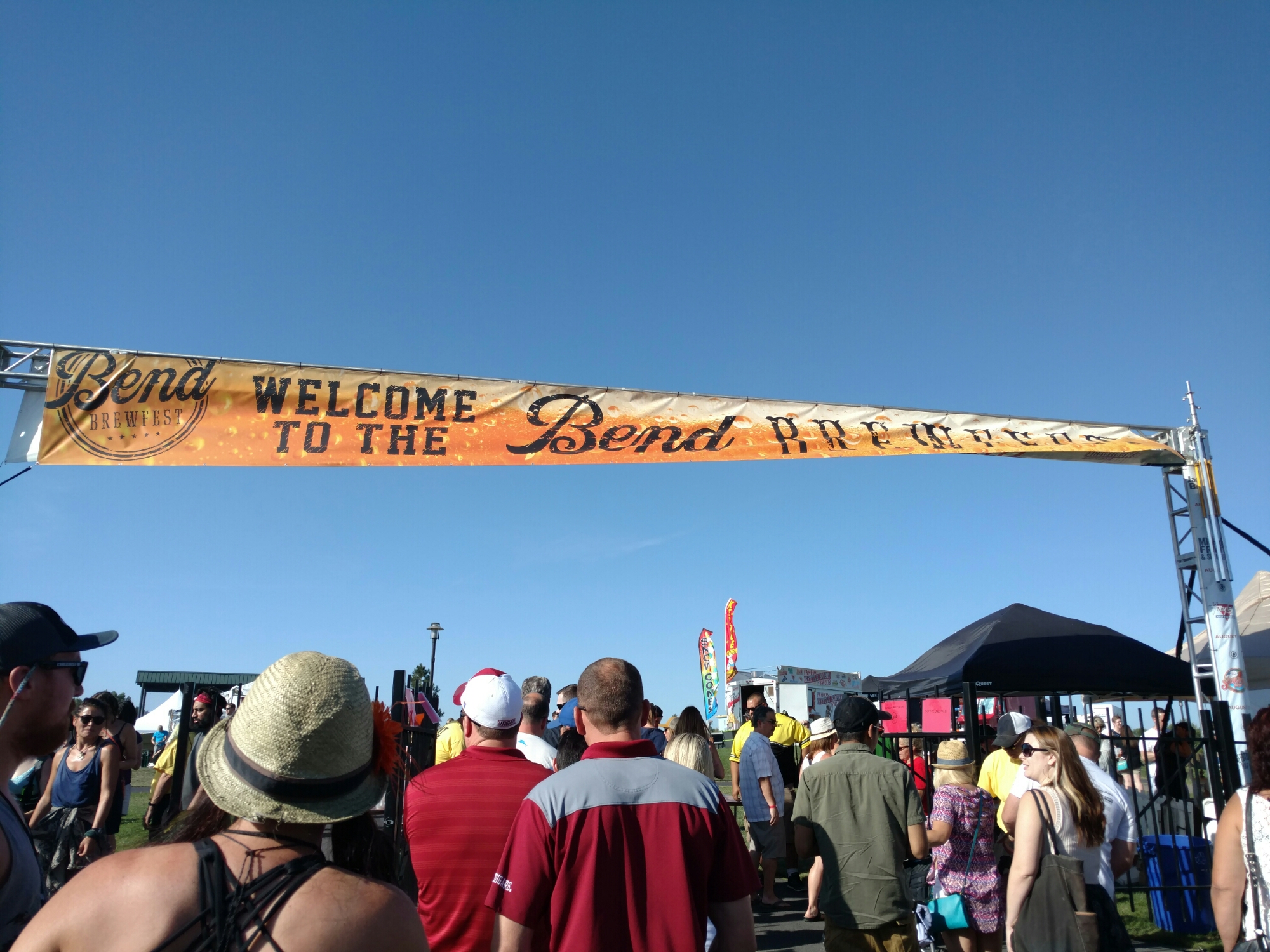
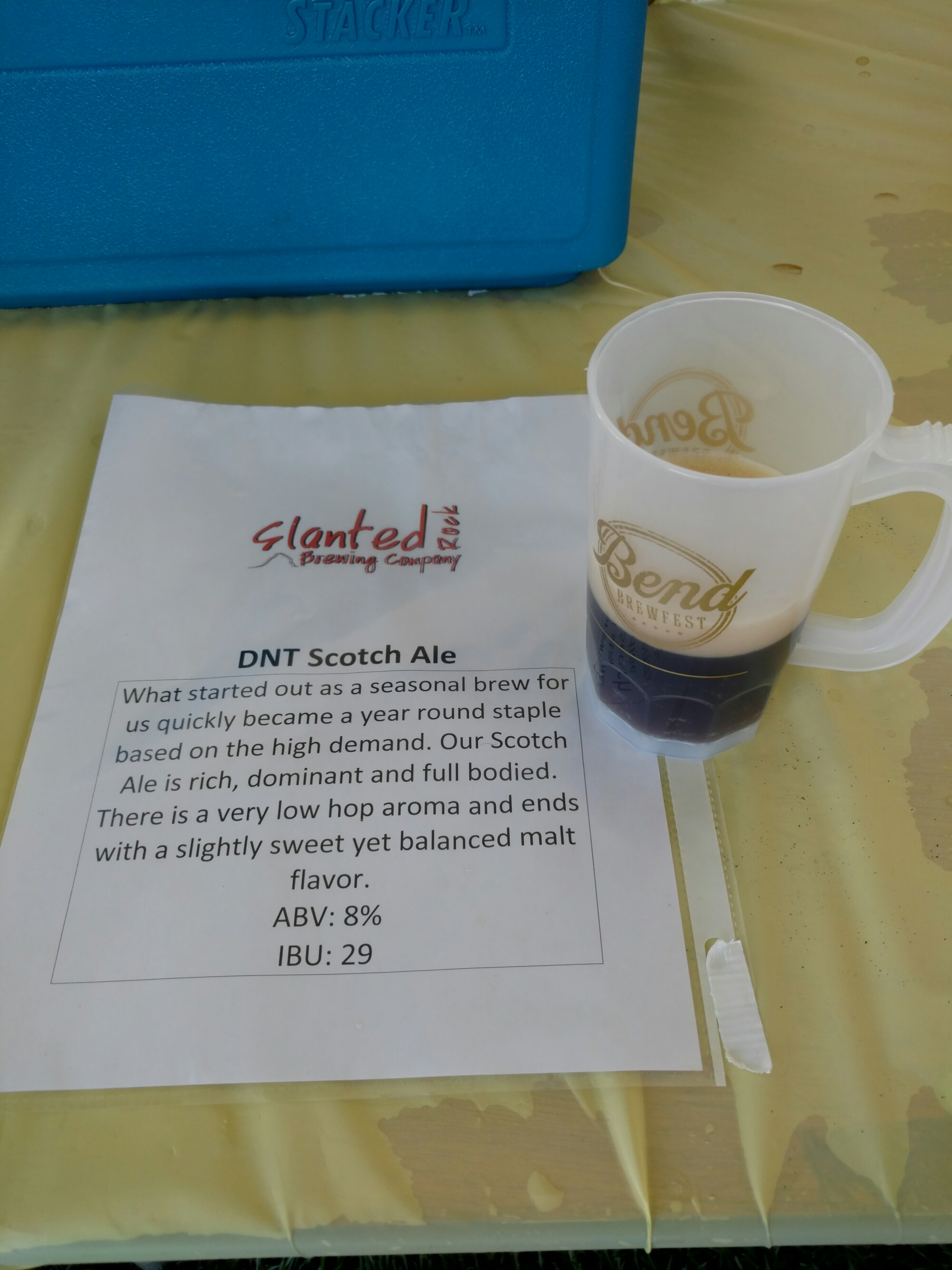
Sadly, I was feeling carsick by the time we got to the event, so I couldn’t really properly enjoy the festival, but I found a couple new beers I liked. It seems I get carsick much more easily since I’ve been hiking.

The time to leave town came way too soon, and I found myself on the trail at about 2 in the afternoon after only one full day in town.
What’s more, I hadn’t packed quite enough food. I’d gone light on the meals, and didn’t count out the snacks properly. Further, I’d been planning on leaving town with my belly stuffed, but I’d felt carsick, and couldn’t eat all that much for lunch (just an egg salad sandwich, a few fries, and a three-star chocolate milkshake at The Depot Cafe in the town of Sisters). And, I’d slept late and skipped breakfast. I’d definitely finish this stretch hungry.
And, I hadn’t looked at the water report before leaving. Standing in the parking lot, I realized I had 10 miles to cover in the hottest part of the day, with only 1L of water.
I left the last major town of the PCT in bad shape. I dragged like crazy all day.

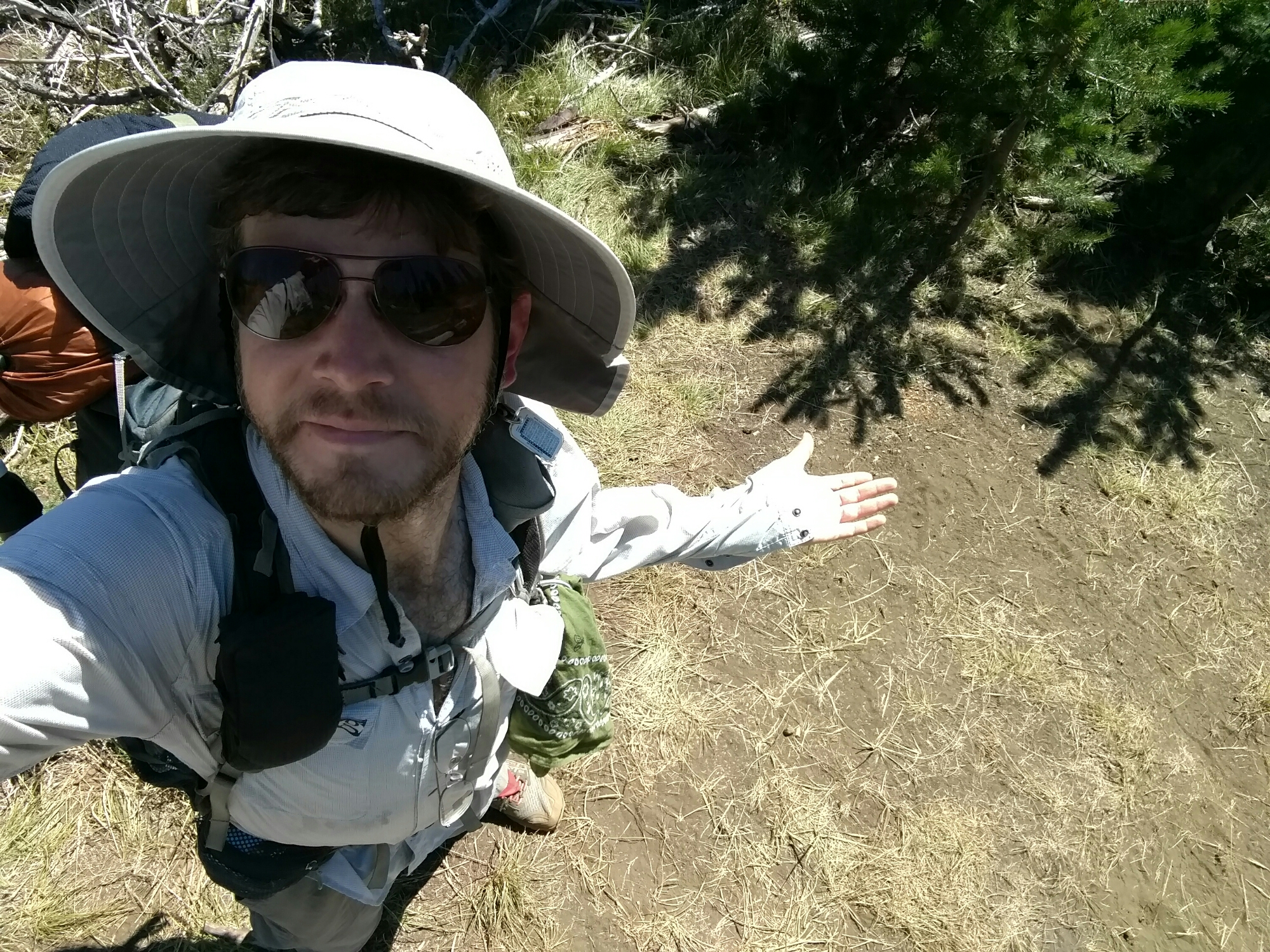
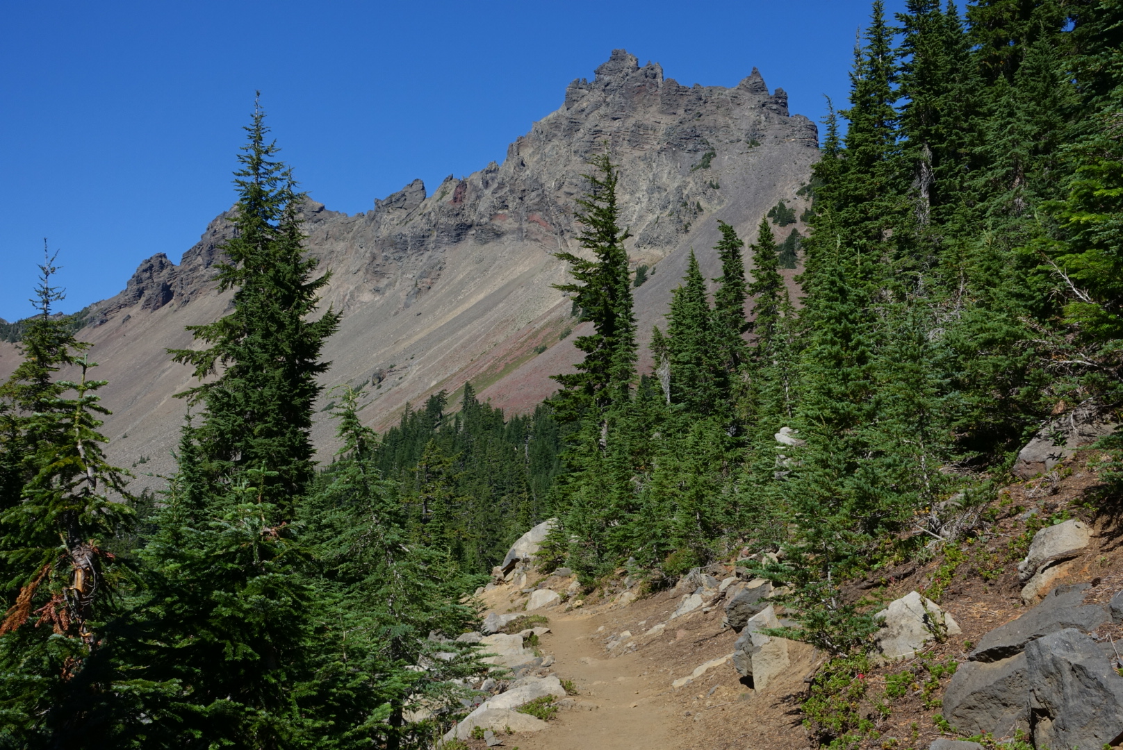
The scenery was nice though.
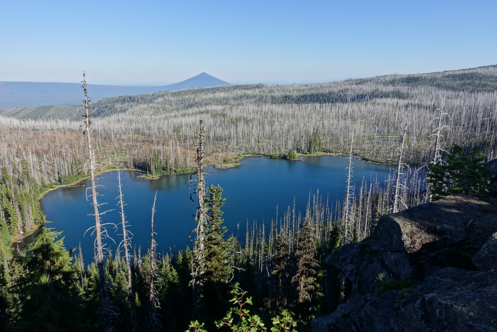

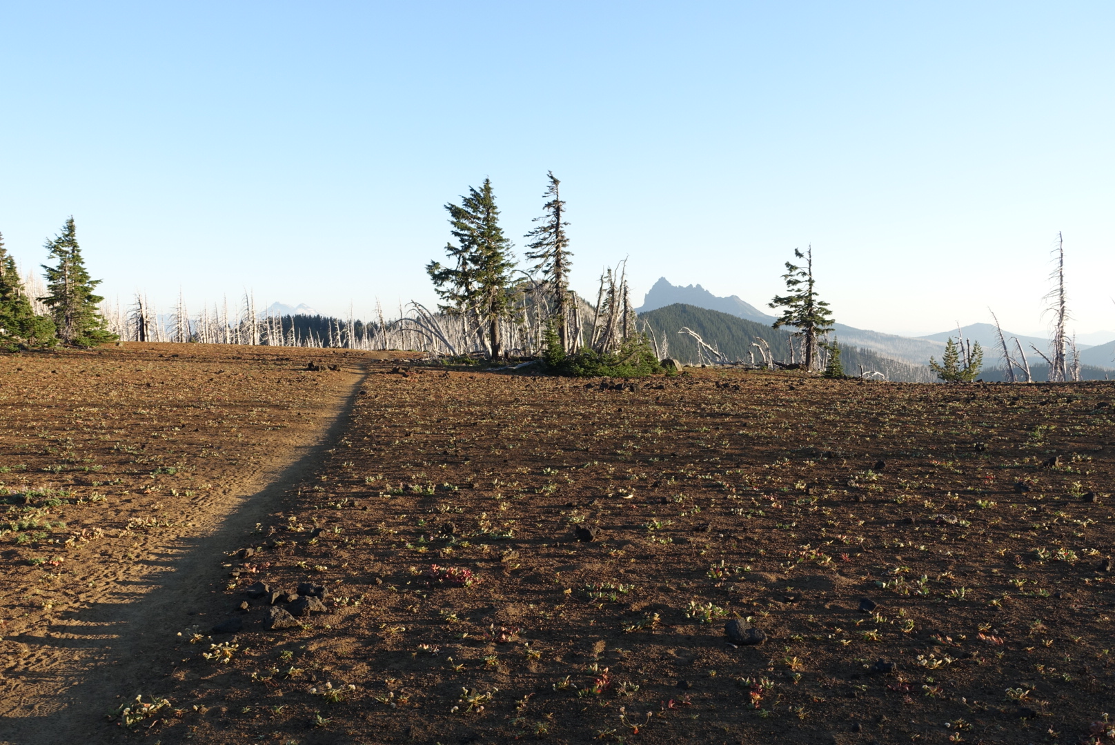
I hiked late, since I needed to be in range of the Olallie Lake Store tomorrow, or I’d have no dinner.
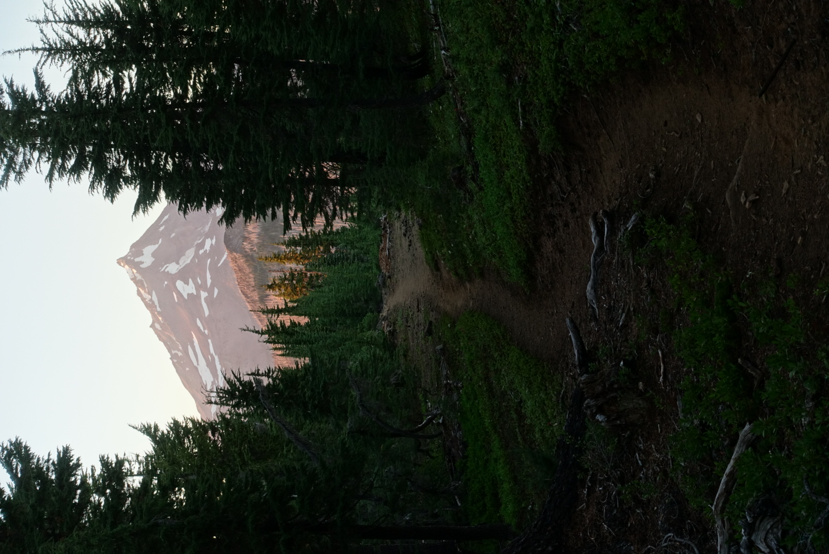
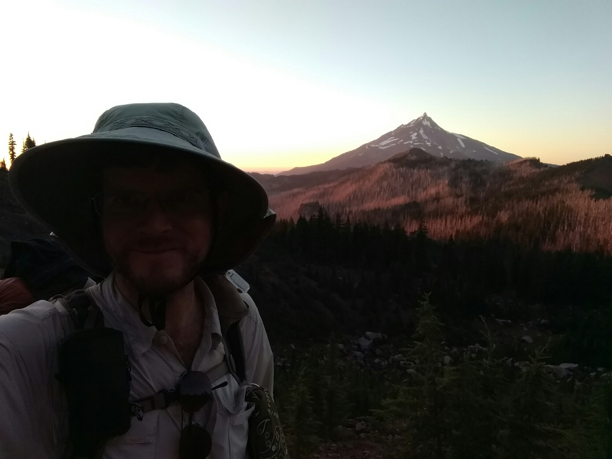
The sunset was very colorful today. In the forest, rich red light filtered through the trees. In burn areas, the light was pink on the white tree trunks. When I finally set up camp, the sun was almost completely set.



You could’ve made a marker Marcus! Immortalized forever as mile marker maker. MMM.
Hmm, “Mile Marker Maker Marcus”, I like the sound of that.
second most popular style is sours!? times are a changin!
you’ve been making good progress, lots of posts to keep me entertained at work 😉 take care dude, and don’t go too hungry!