I woke up a bit late. I’d taken Benadryl the night before, hoping it would help me ignore the mosquito bites and get to sleep. And sleep I did.
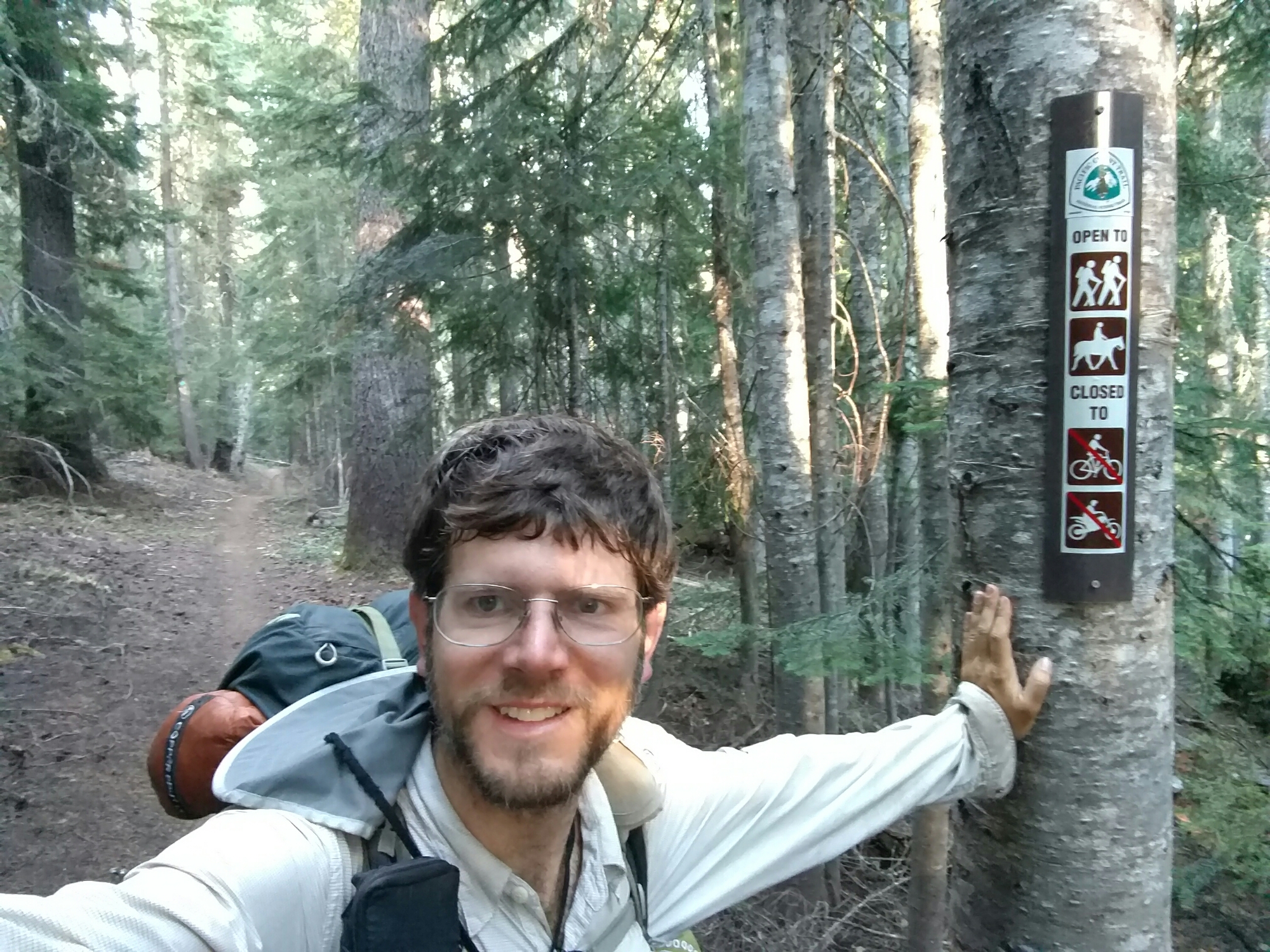
I began the Oregon Skyline Trail with a short road walk, and then a week-maintained, nicely graded trail through light forest. On the flip side, “nicely-graded” means flat, meaning that I was following no skyline at all. The trail looked more or less like this most of the day:

It turns out, the Oregon Skyline Trail was a long trail that predated the PCT, and was mostly absorbed into the PCT when the PCT was formed. Most of the original OST is now either part of the PCT, or unmaintained. The part that I hiked today is only a 20-mile section of what used to be a 400-mile plus trail.
So, despite the name no skylines were promised on this particular section of the OST.
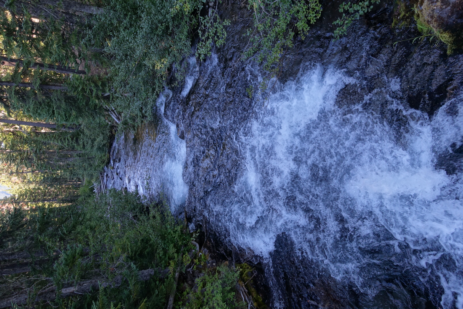
There was much more water on the trail than there had been on the actual PCT lately, which was nice, but it was usually from large ponds. These are hard to get water from without scoping up dirt, because it’s too shallow within arm’s reach of the bank. On two separate occasions, I teetered and nearly fell off a log trying to get to deeper water. One of the logs rolled — when I flailed my way to the shore safely, I felt like a fully-qualified log-rolling lumberjack.

The OST also introduced me to a new, more obscure way of referring to the PCT. It’s apparently also called the P.C.N.S.T.

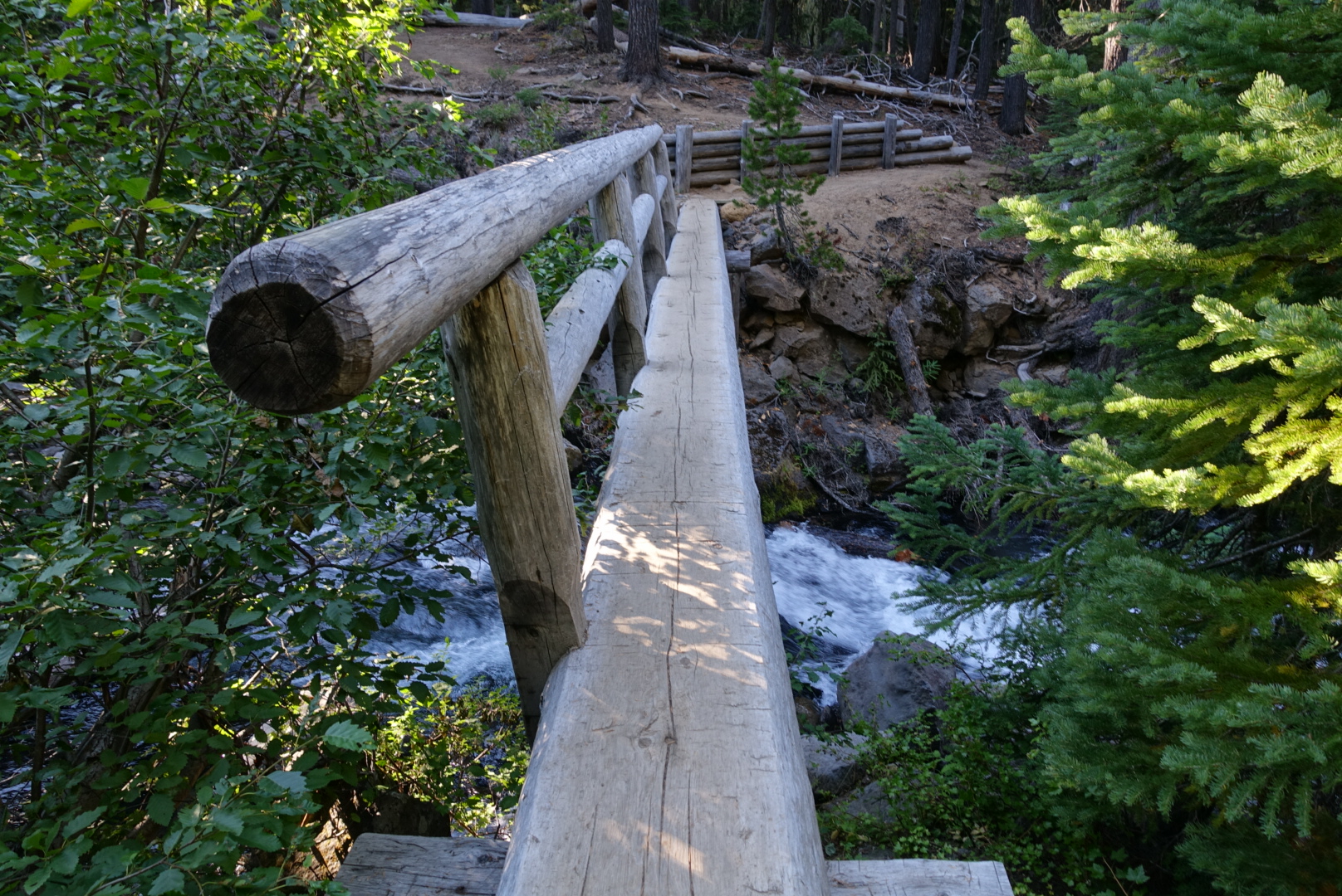
After the creek, the forest got a lot denser and sun-dappled.

I passed several southbound groups of horseback riders today, making this by far the most equestrian section of the trail. The whole PCT is graded and maintained for horses, but they only seem to exist up here in this part of Oregon.
And, for some reason, every group of riders contained at least one person (often more) who thought my bug net was just about the most novel and handy thing in the world.
Later in the day, I stepped out of the way of a group of riders.
“You!” Said their leader. “Step out from behind that tree!”
I did. There were trees about every five feet here, so anywhere off the trail was behind a tree.
“Hiding behind a tree is verrrry scaaaary!” He said.
The trees’ branches were extremely sparse. You could see right through them.
Later, I saw where all the horseback riders were coming from. The Halfmile PCT app omitted many waypoints from this area. I was afraid I’d gotten lost when I found myself in a campsite that wasn’t listed.

Or at a water source that wasn’t listed.
By the afternoon, I was getting to a resupply point called Shelter Cove, which is a small lakeside resort with a little store.

The resupply choices weren’t good, but I only needed a day of food. I also had dinner there, at the crowded PCT hiker picnic tables.

A hiker across from me at the table did backcountry ski patrol in the area, and new ask the trails well. He recommended a hut just off the PCT, a bit north of here. He said it had a nice big wood stove, lots of sleeping space interesting architecture, solar lighting, and even a place to charge your phone. “So long as nobody’s stolen the adapter”, he said. It sounded interesting to me, I planned to take a look at it.
After spending too much time eating and chatting, I packed up and headed out into the wilderness.


Around when it was getting dark, I was near the Rosary Lakes, so I found a flat spot and set up camp.


To the guy on horse back that said you were being scary, you should have just said “boo” or maybe “surprise?” 🙂
Yes. I definitely should’ve. The world would be a better place if I had thought of that.