This morning was cold and dark. The shelter of the trees surrounding our campsite made it seem like much earlier than it really was.
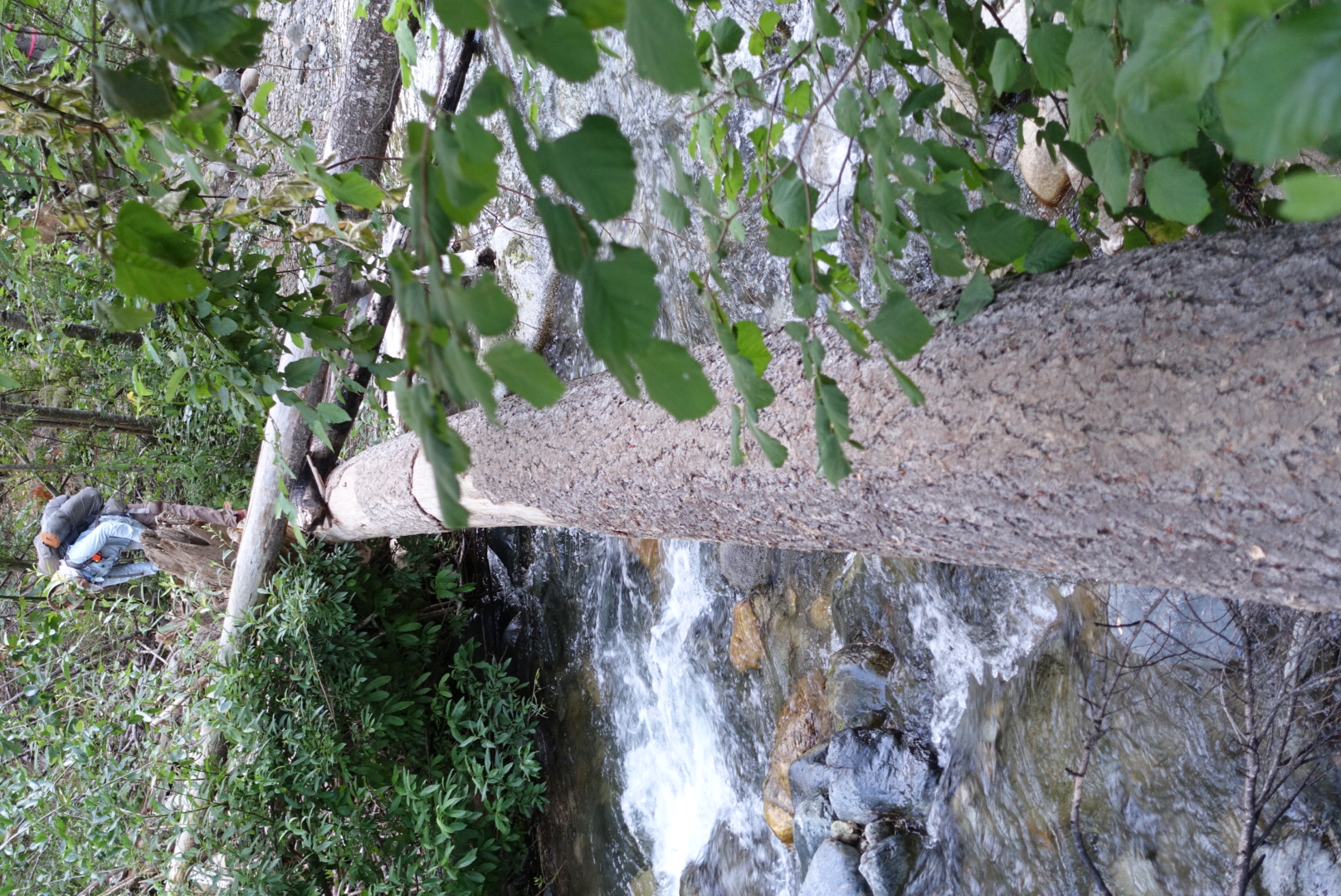
The way to Seiad Valley had several river crossings. There was only one problem.

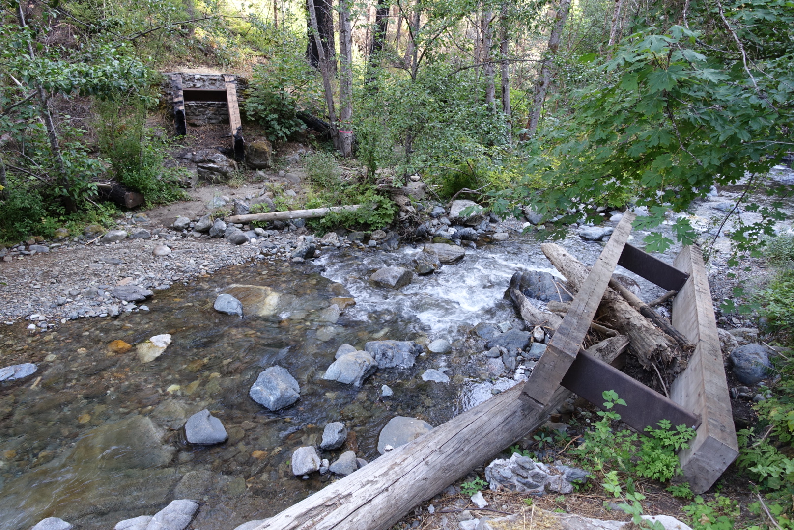
The Happy Camp Complex Fire had destroyed many of the bridges.


Approaching town, we had several miles of road walking to reach a bridge over the Klamath River.

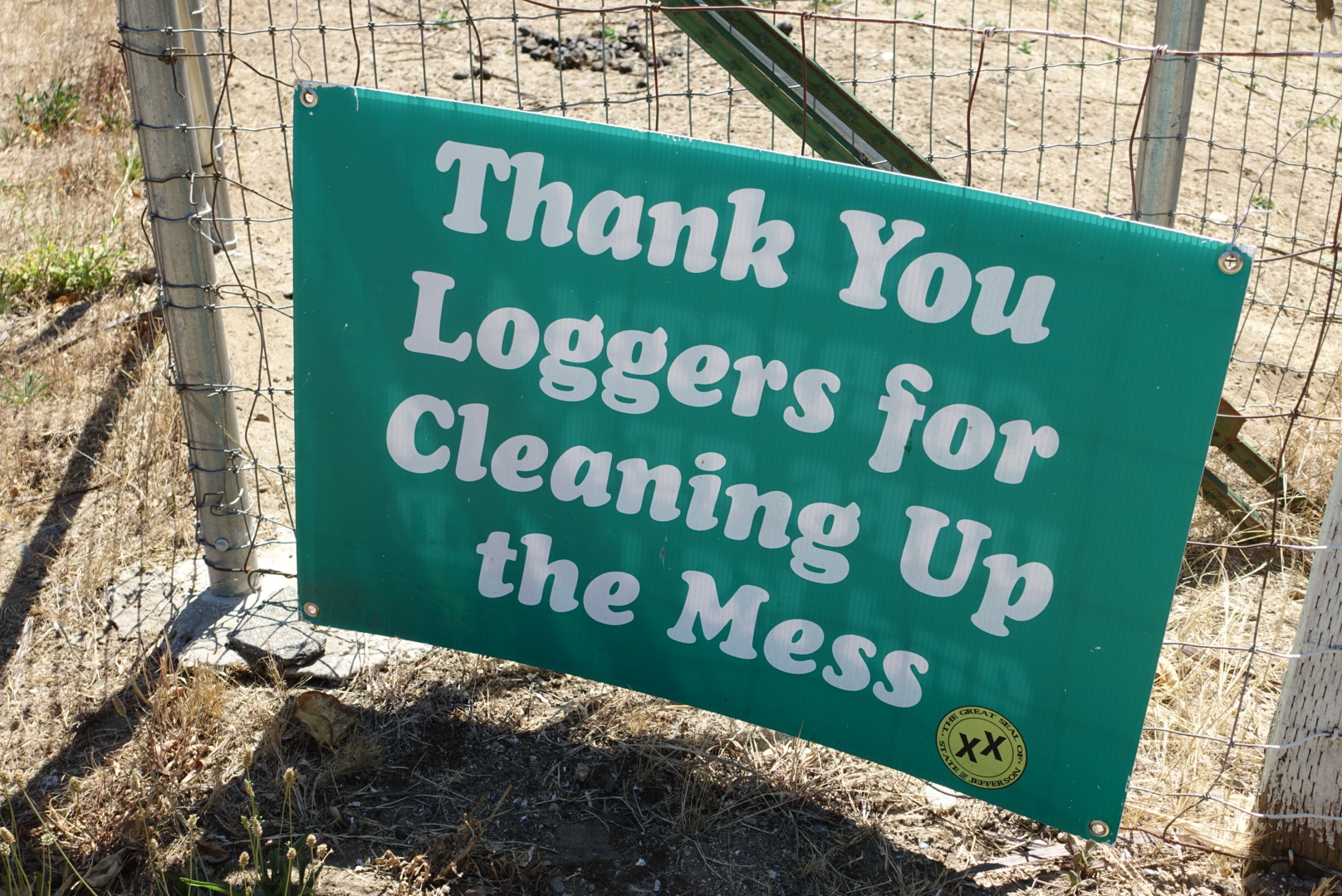
Seiad Valley is in the heart of the “Jefferson State” area, which is a section of California that wants to secede and become it’s own state. There were “double x” flags and murals all over town. And then there was this:
We did laundry in the broken-down laundromat at the RV park, showered in the moldy shower, and had lunch at the town’s restaurant. Surprisingly, Wi-Fi was really good out here, and I was able to post blog updates.
As we ate, we read a pamphlet about Jefferson State. Though we seen no Jefferson State signs near Tahoe, it had a map showing is that the new state will extend from the Oregon border to Tahoe on the east, and Mendocino on the west. It wasn’t very clear about what the new state was for, though.
After lunch, with a 2.5 star milkshake (real ice cream, but the flavors were just Torqni syrup), we resupplied, and set off.
The remainder of the day, we had to head up a steep uphill.
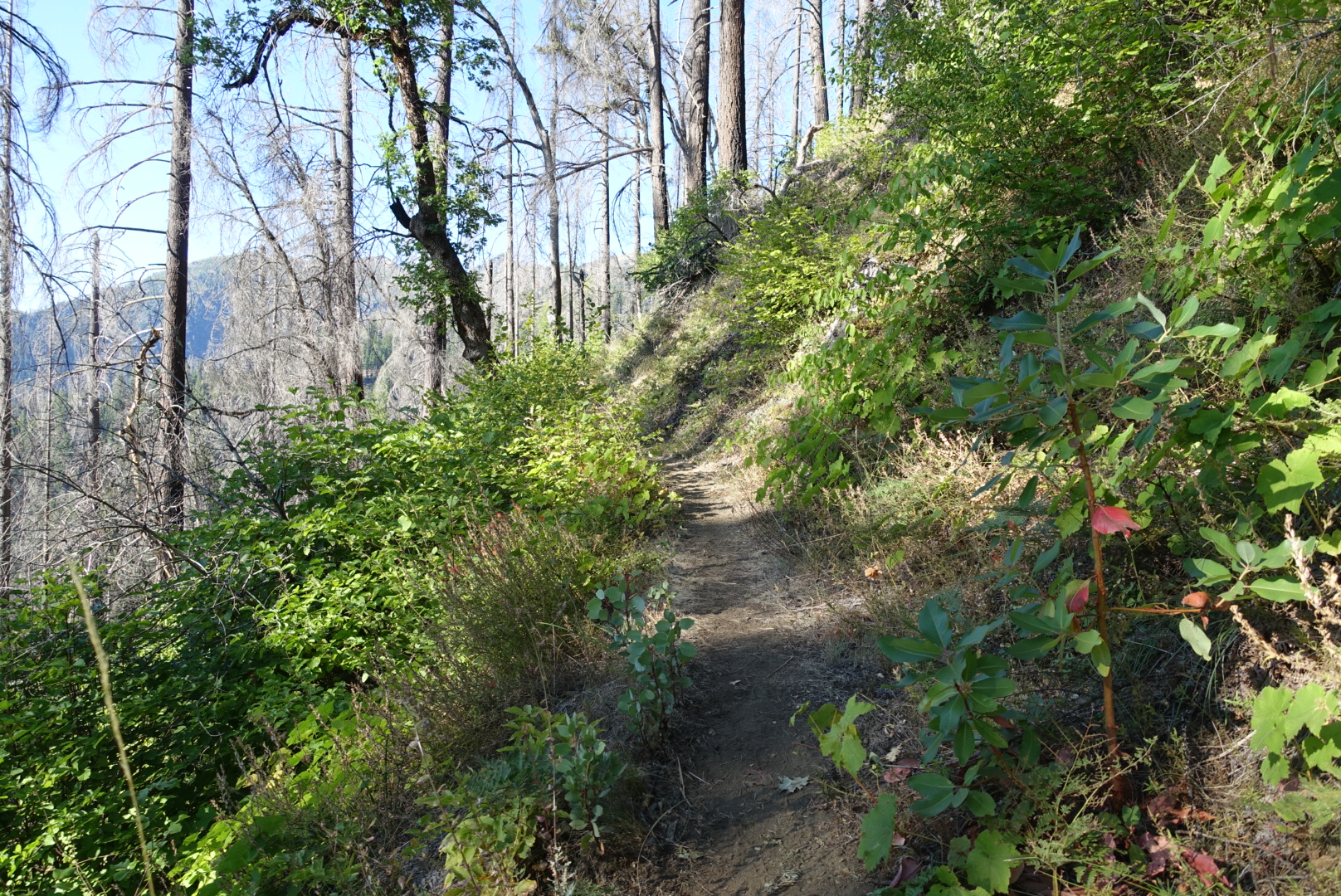

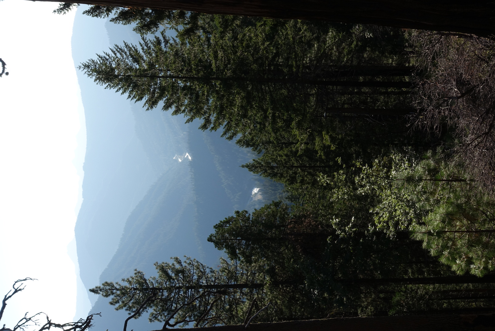


We camped on a ridge about 7 miles north of the city.


