I woke up cold. This was strange, because we hadn’t camped at a cold site. It was also strange that my sleeping pad was much softer than it had been the previous night. I probably had a puncture in my sleeping pad, small enough to leak slowly.
I re-inflated it, and took it down to the creek. After dipping different parts of my sleeping pad into the creek, I eventually found a spot that shot out tiny bubbles when submerged.
I hadn’t brought a patch kit, because I’ve used this pad for years with no problems, and it’s tougher material than most sleeping pads. So I tried sealing the leak with duck tape, but it wouldn’t adhere well to the sleeping pad’s textured material. With some pressing and rolling, the tape held, but I was not optimistic about its leak-stopping capabilities.
This morning, we walked along the valley wall of Deep Creek.
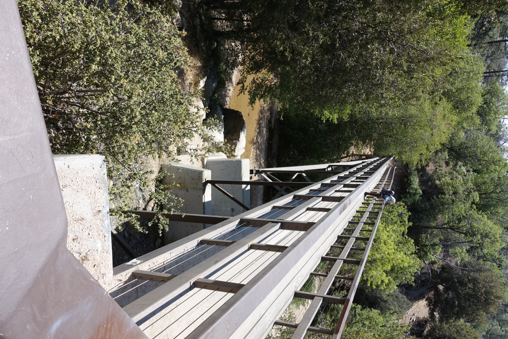
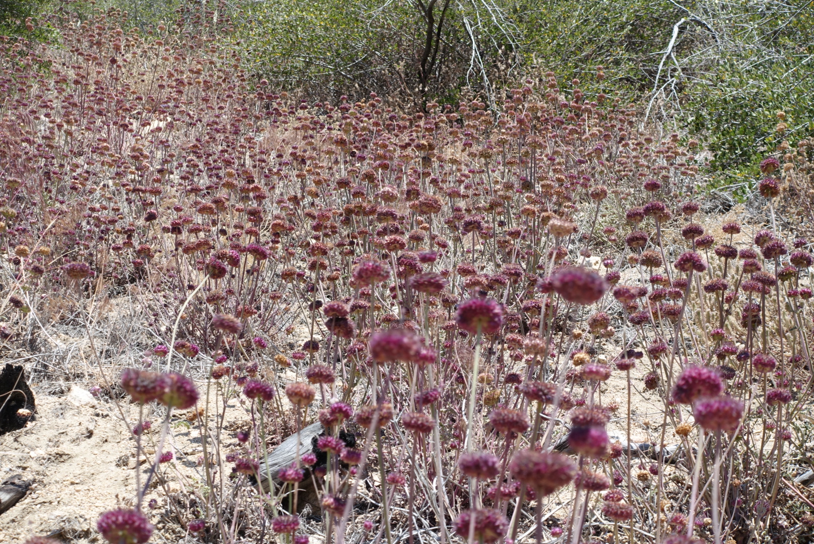
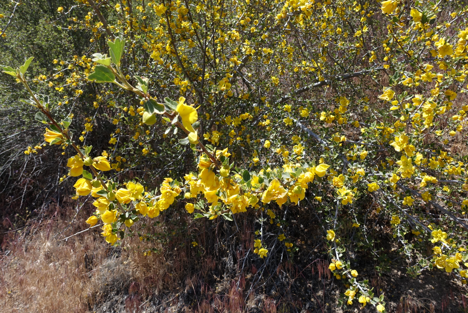
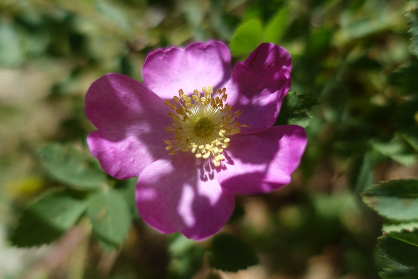
The valley walls were lined with many kinds of wildflowers.
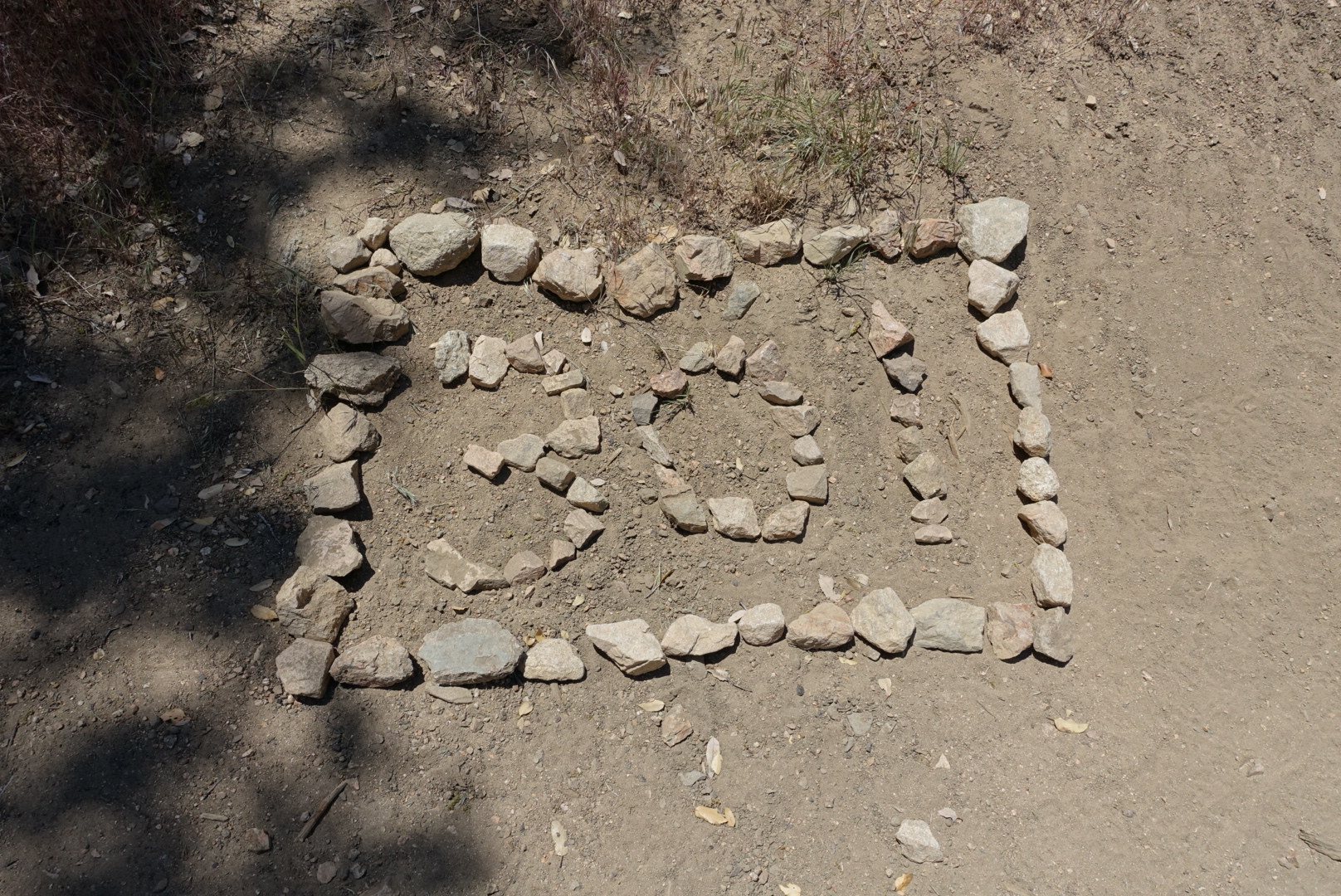
We missed the marker for mile 300, but for some reason, there was also a mile 301 marker.
We had lunch at a creekside with cool shade and bubbling rapids. While swatting away what I thought was a fly, I got my second bee sting ever – the last being about 29 years ago. I guess I’ll find out if I’m allergic now!
Deep Creek flows alongside Deep Creek Hot Springs, a hike-in-only natural hot springs popular with local twentysomethings, especially hippies.
It was busy when we got there, with dozens of people soaking and camping. Pan pipe music wafted up from the hot springs as we approached.
Elizabeth wanted to take a dip in the springs, but I didn’t, so I sat in the shade nearby and tried in vain to catch up on my blog.
We started to move on, and who should we run across but Wonky and Bill. We talked about cheese, and they said they didn’t want to go much further tonight, so we split up again.
The trail continued down the valley.
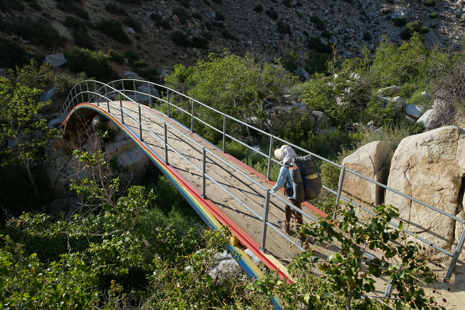
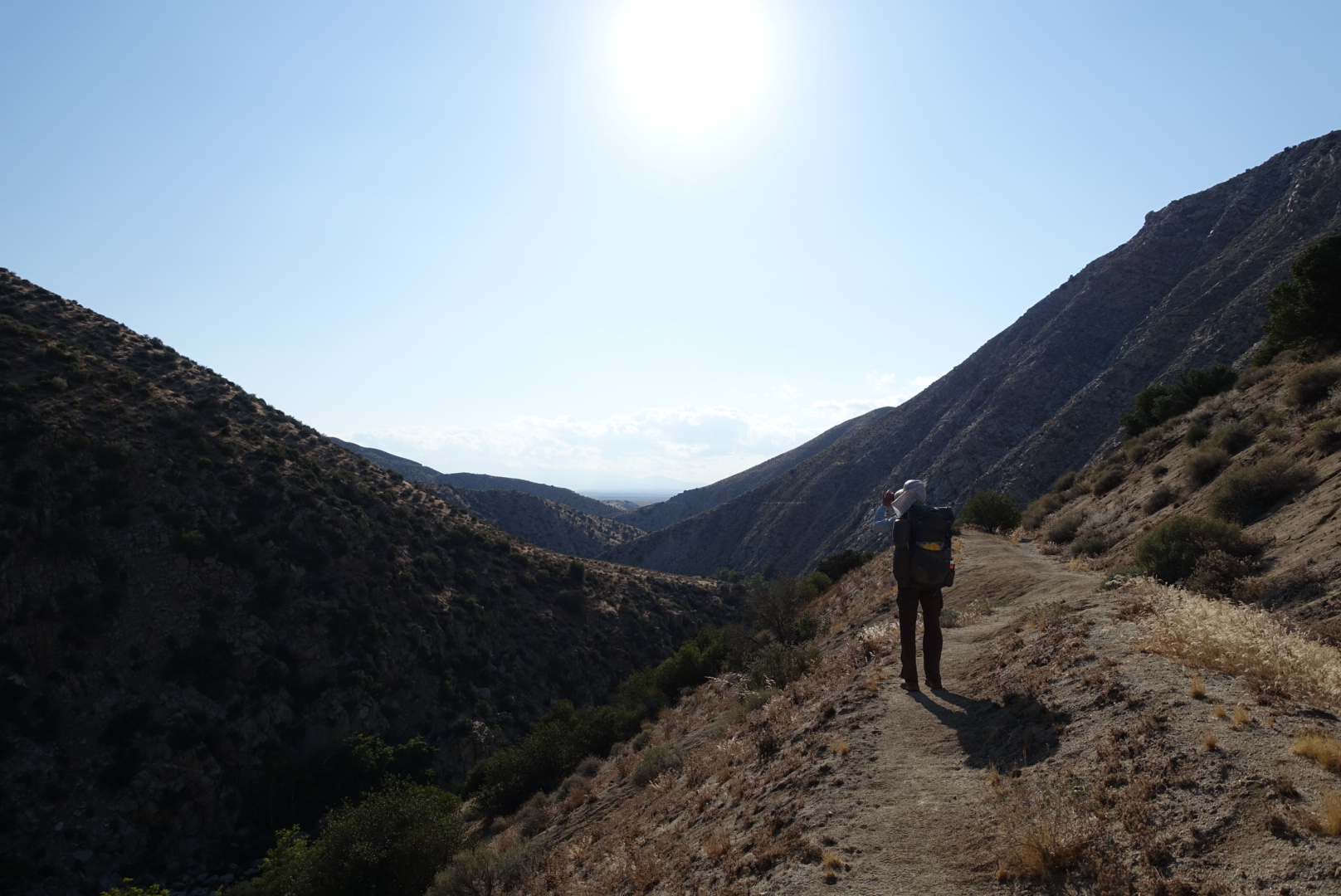
I didn’t take pictures, but the trail has seen better days. There was graffiti on the rock faces for many miles. Someone had spackled over a great deal of the graffiti, but new graffiti was already appearing on top.
Eventually we escaped the valley, and found ourselves near the currently-dry Mojave River.
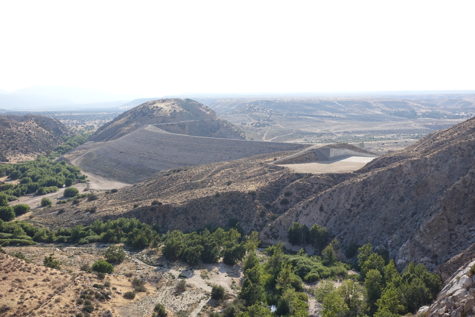
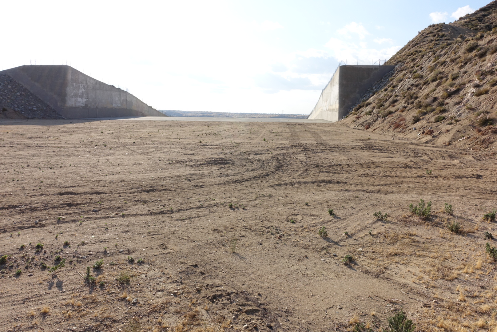
We were nearly out of water, as we crossed a small stream. It didn’t look like the water would taste good, however, so we decided to skip it and wait for the next one.
This was a mistake. It would only be about 5 miles, but I hadn’t realized how dehydrated I was. I started longingly at the water tanks walled off by “no trespassing” fences.
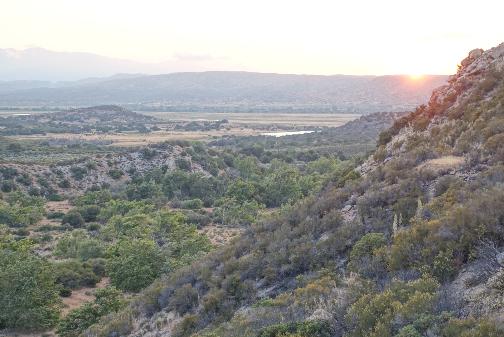
When we finally got to the next water, it was covered in water skeeters and floating debris. I gave my water filter a workout, and drank greedily.
There were many people camped nearby, but we had come in fairly late, so we pitched our tents, and were soon fast asleep.
