Note: This post is out of order. It is from earlier in my hike when I didn’t have time to keep my blog up-to-date, so I’m posting it now.
It was a very cold night last night. I couldn’t sleep during the colder parts of the early morning. I think my quilt just won’t cut it for the Sierras. We got a late start, because I stayed in bed until it warned up.
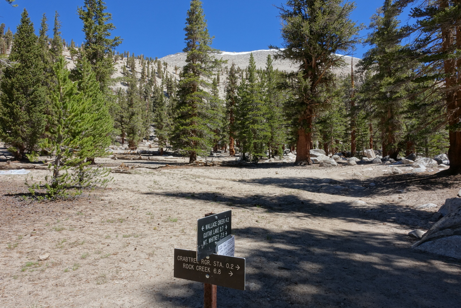
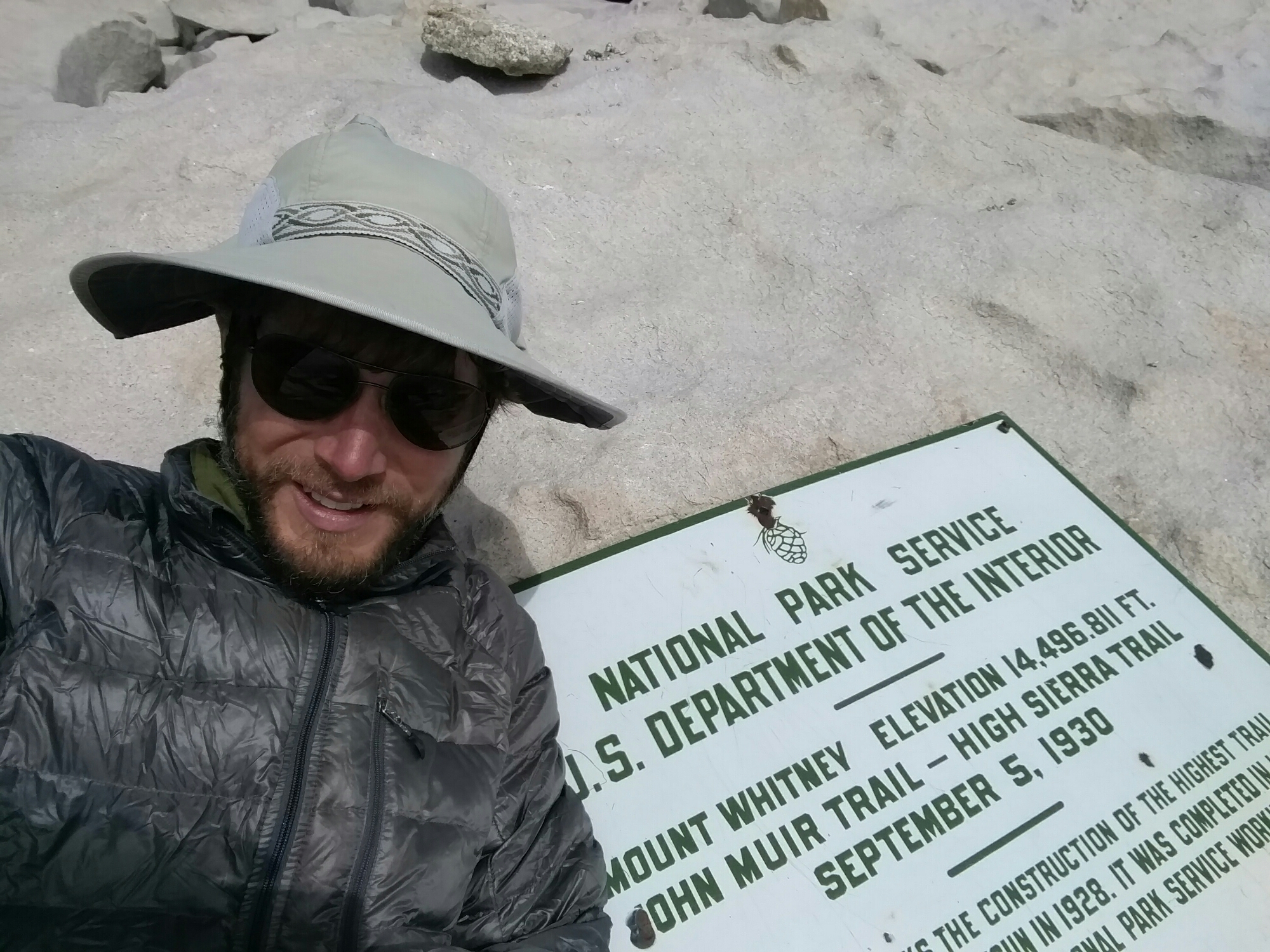
Today, our plan is to summit Mt. Whitney. Mt. Whitney isn’t on the PCT, so we were on a spur trail for most of the day and made nearly no progress on the PCT proper. Since we were going out-and-back from the PCT for this, we left some of our gear at the tail junction, so we wouldn’t need to carry it up the mountain.
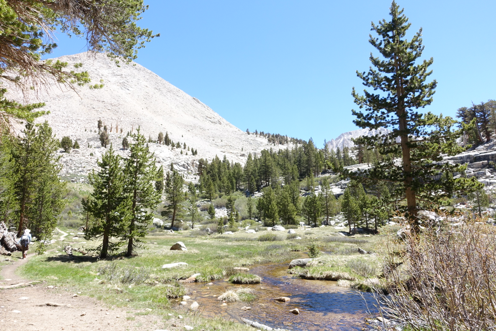
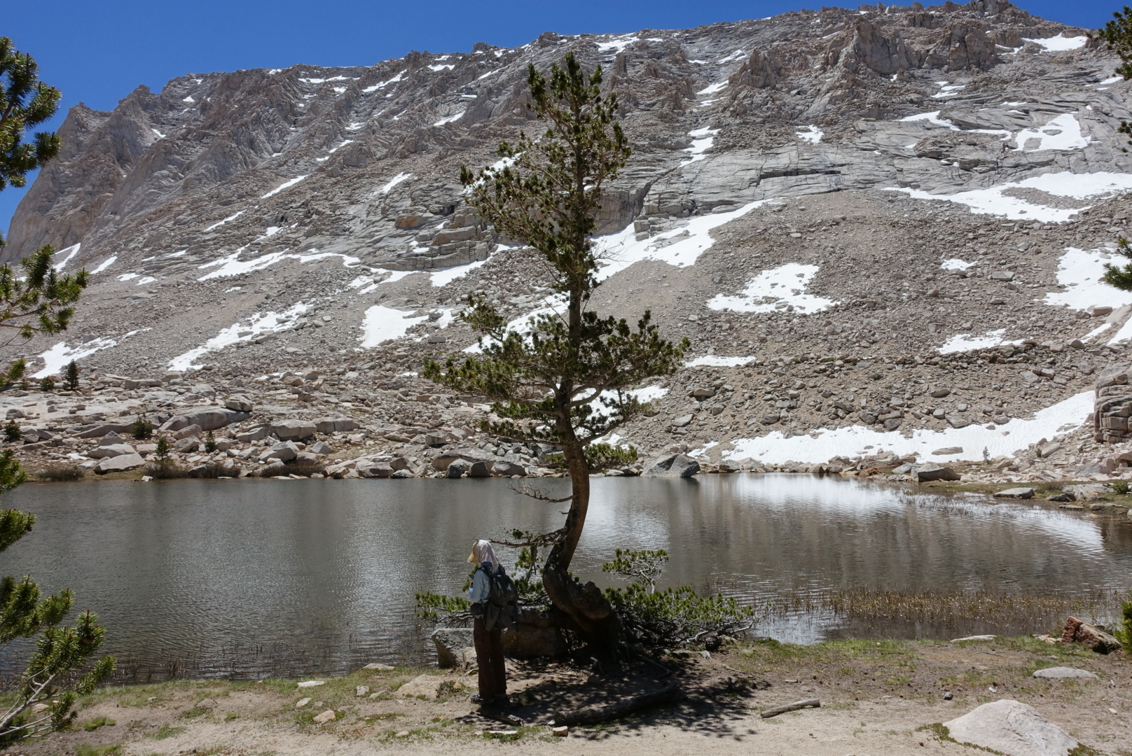
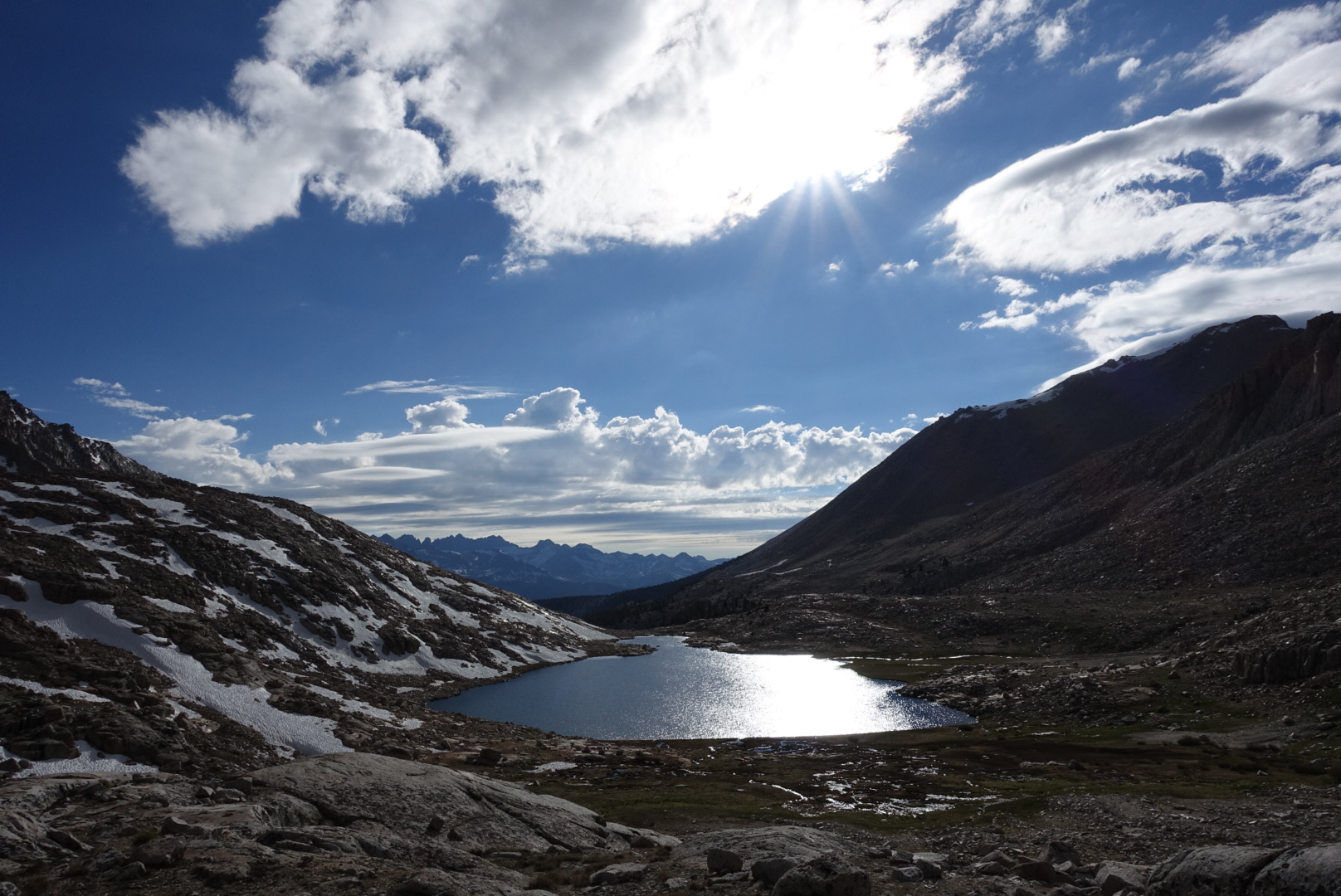
The marmots were out in full force by the high-altitude creeks and lakes, even above the treeline. I made sure not to leave anything they might want to gnaw on.
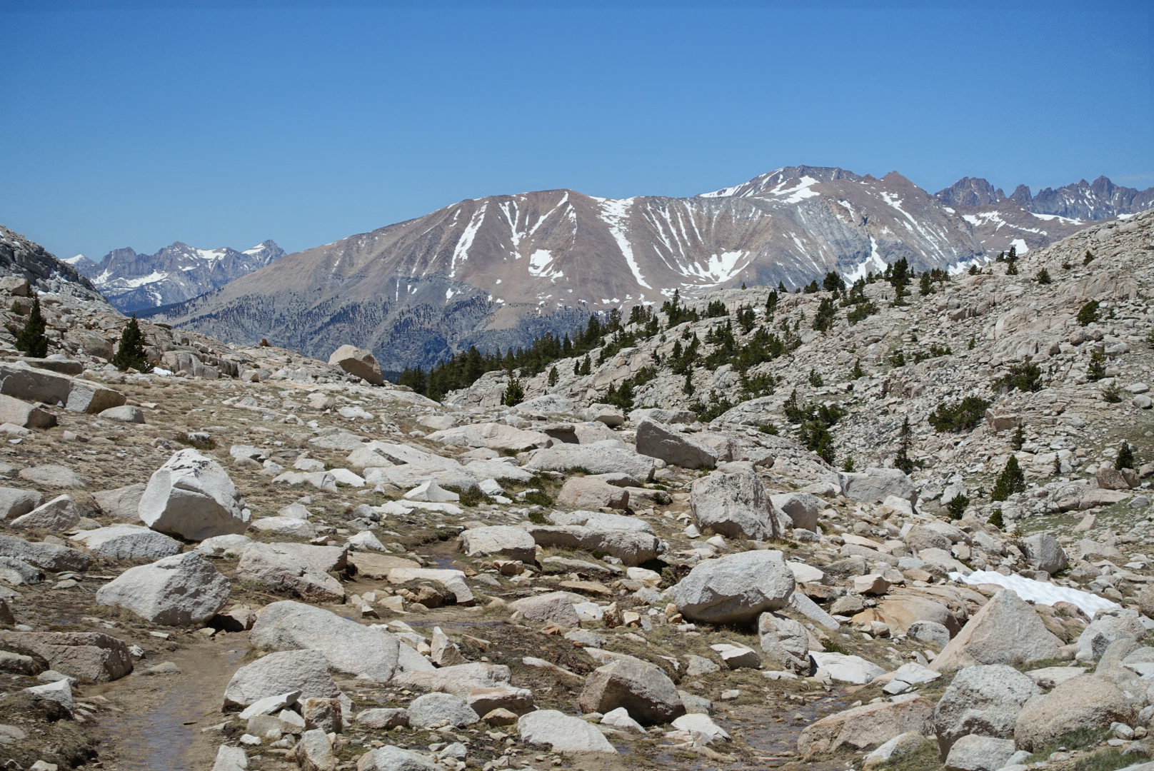
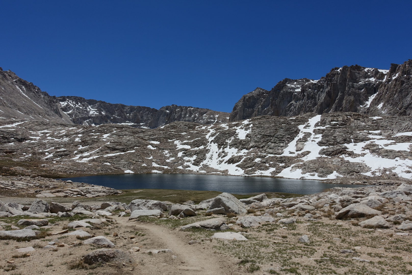
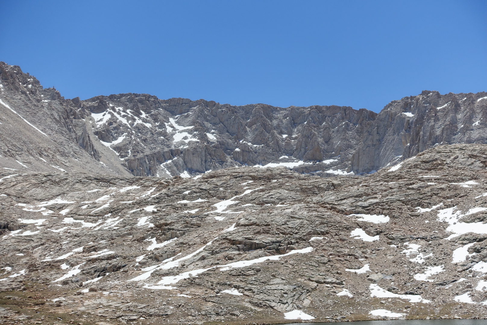
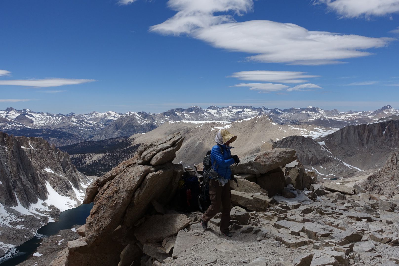
The views began to look stark as the vegetation got more and more sparse at higher and higher altitudes.
I was getting a headache from the altitude change, so I had a snack and took an Advil.
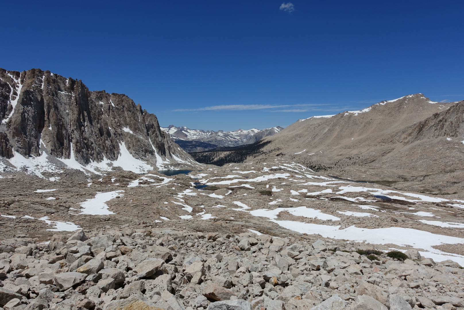
There were some snow crossings as we ascended. They were occasionally slippery, but no real problem. I’ve carried Microspikes (metal spikes that strap onto the soles of your shoes for extra traction in the snow) since Ridgecrest, and I didn’t use them here, at the highest mountain in the continental US. I hope they don’t turn out to be dead weight in my pack — I’d feel pretty silly carrying nearly a pound of metal up and down every mountain pass in the Sierras if I never make use of it.
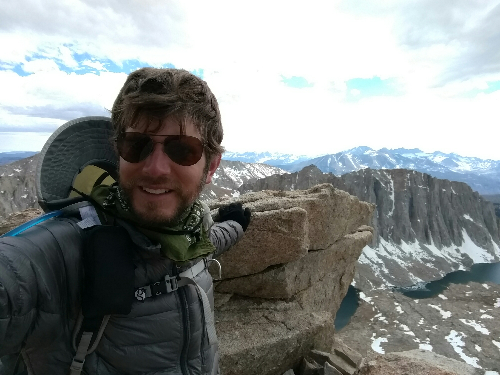
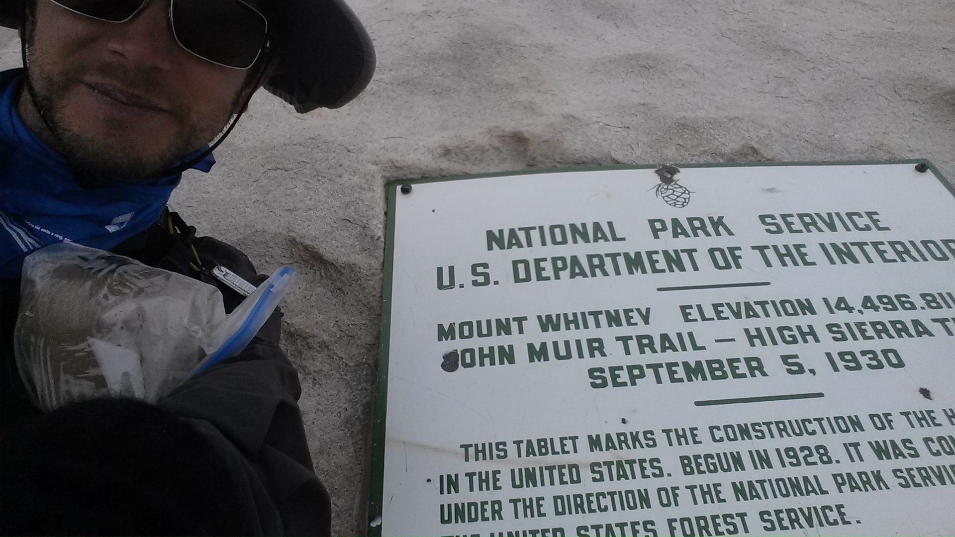
Mt. Whitney is notorious for having bad weather at the summit, frustrating hikers who had hoped for spectacular views at the top. Three years ago, I hiked the John Muir Trail, which ends at the summit of Whitney. The pictures looked like this:
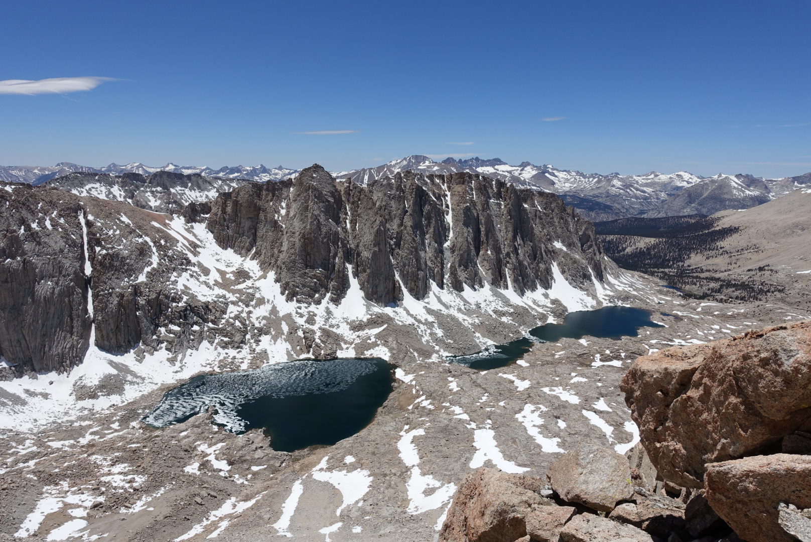
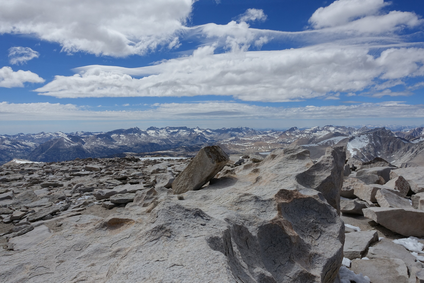
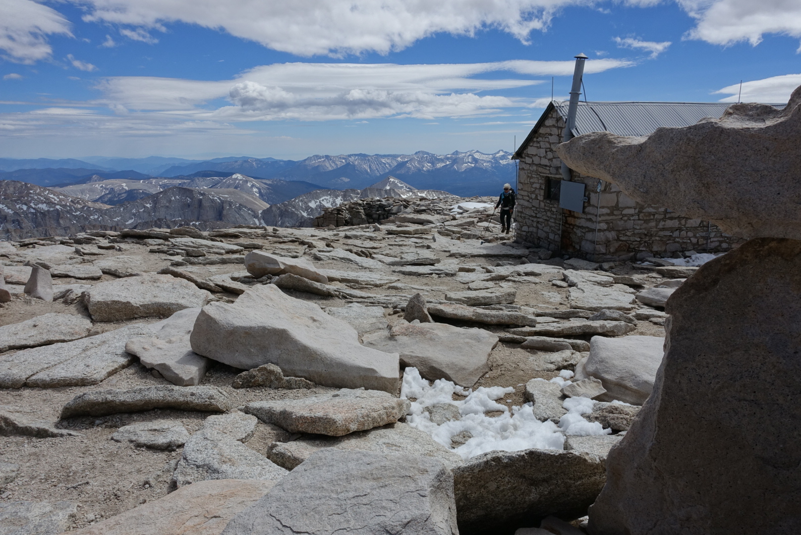
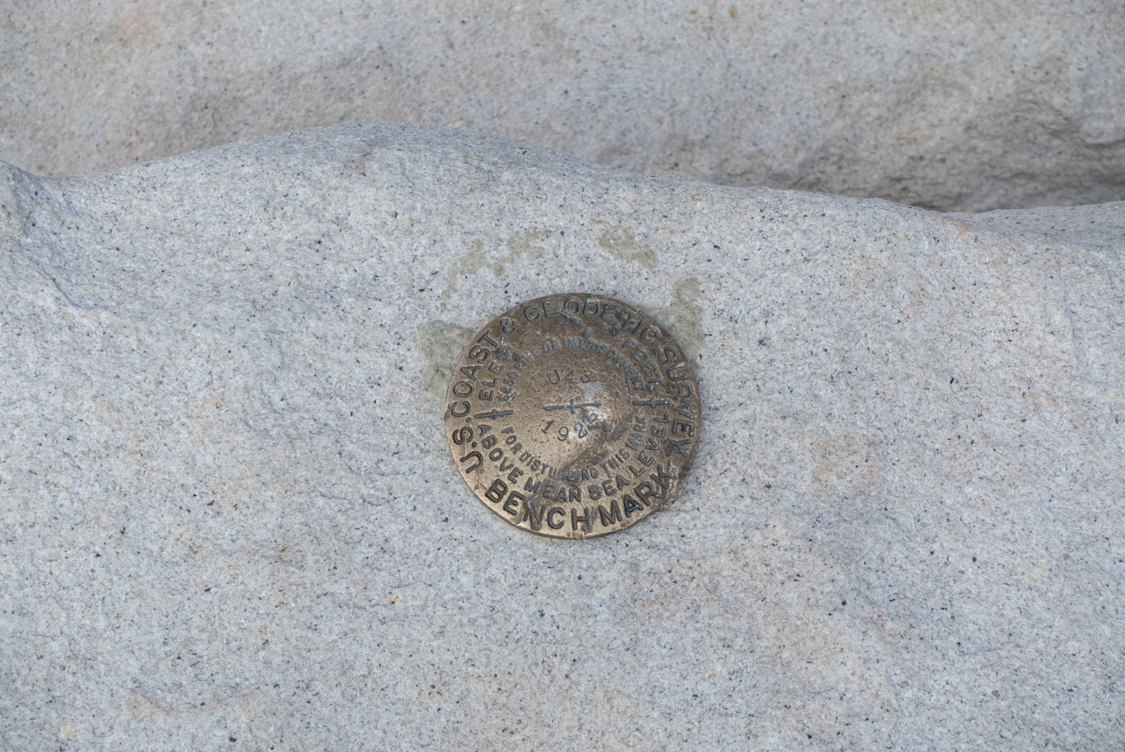
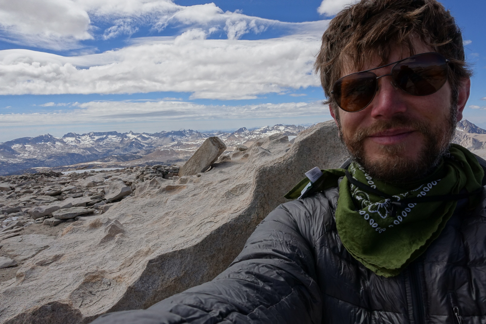
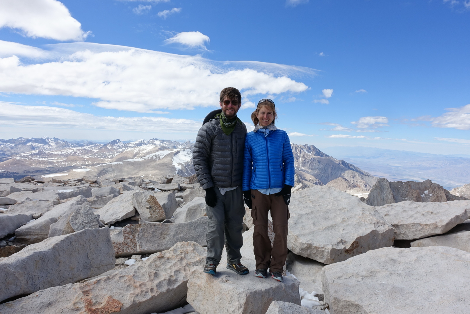
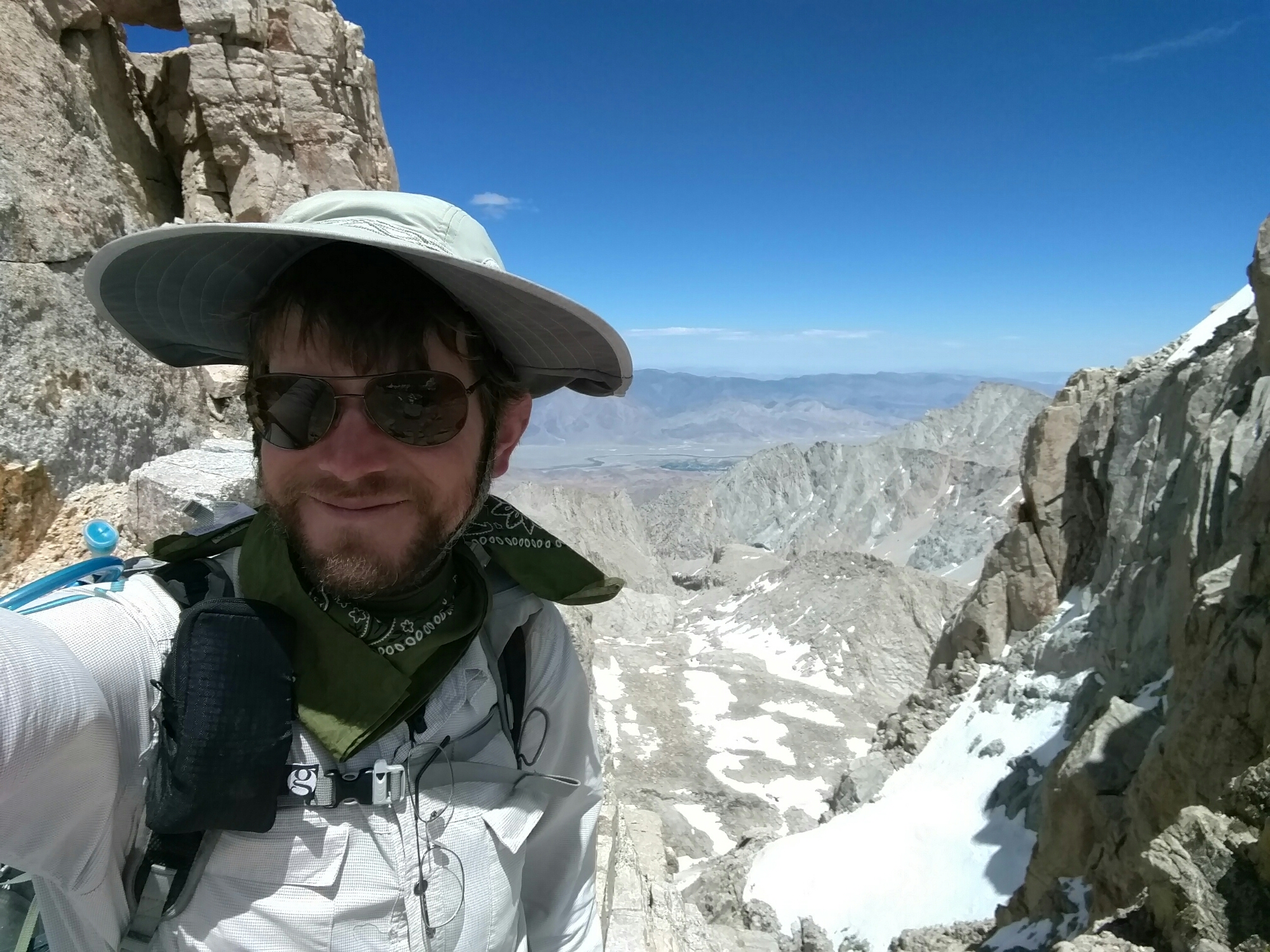
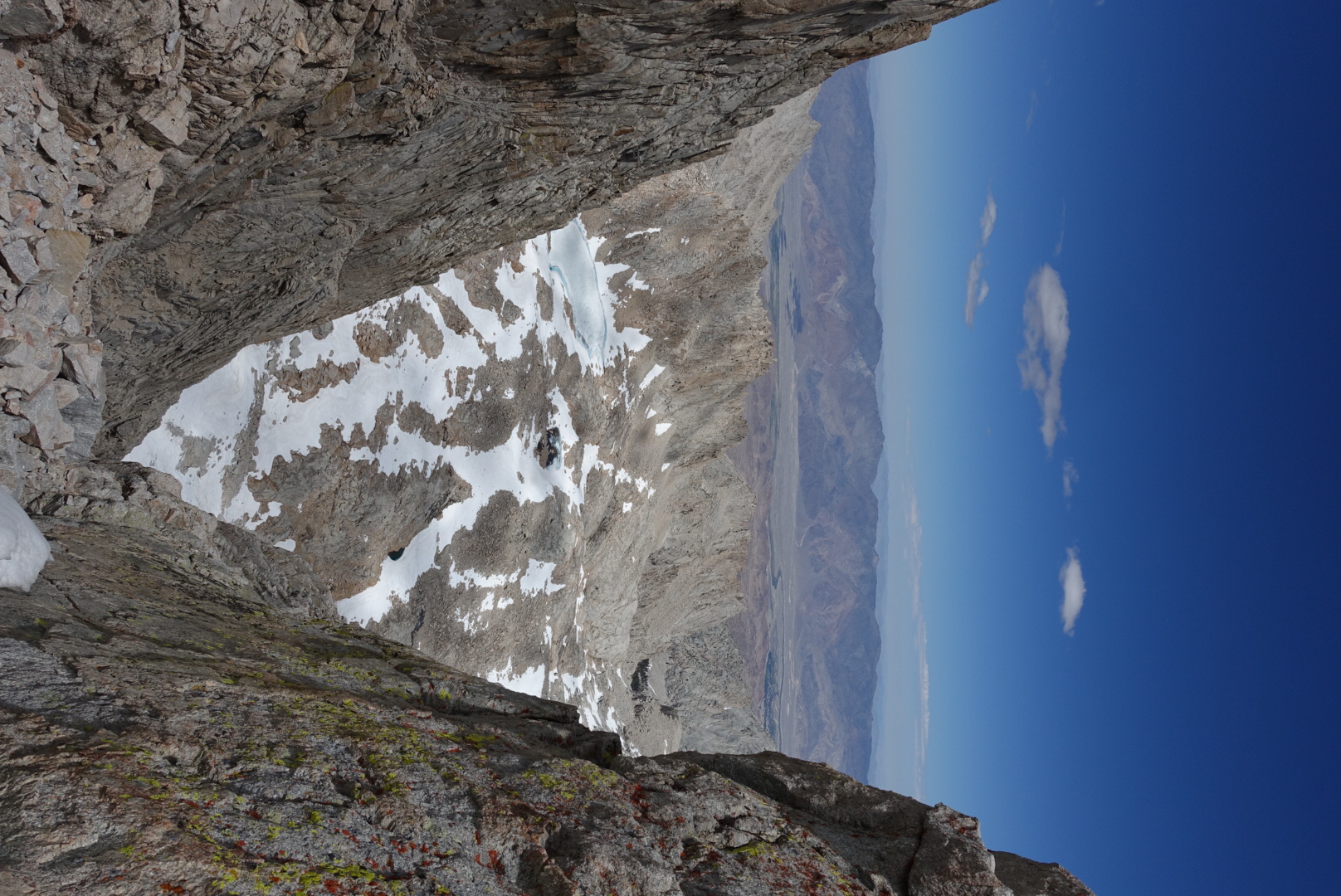
Needless to say, I didn’t spend a lot of time admiring the scenery at the end of my trip. But this time, when we reached the summit, the weather was clear, and we had long views in every direction.
The Sierras have nearly no cell phone service, but I remembered finding a particular crevice on the side of Whitney where the mountain’s shape allowed signal through in 2013. And sure enough, Coverage Gulch still worked in 2016.
As we progressed back downhill towards the PCT, Elizabeth saw a grey cloud, and was worried about rain. She hadn’t brought her raingear, so she decided to run back down to camp. I took my time.
Our campsite for the night was the Crabtree Ranger Station Meadow, a common staging point for approaching Whitney from the west. Many hikers’ tents were tucked away in the trees surrounding the meadow.
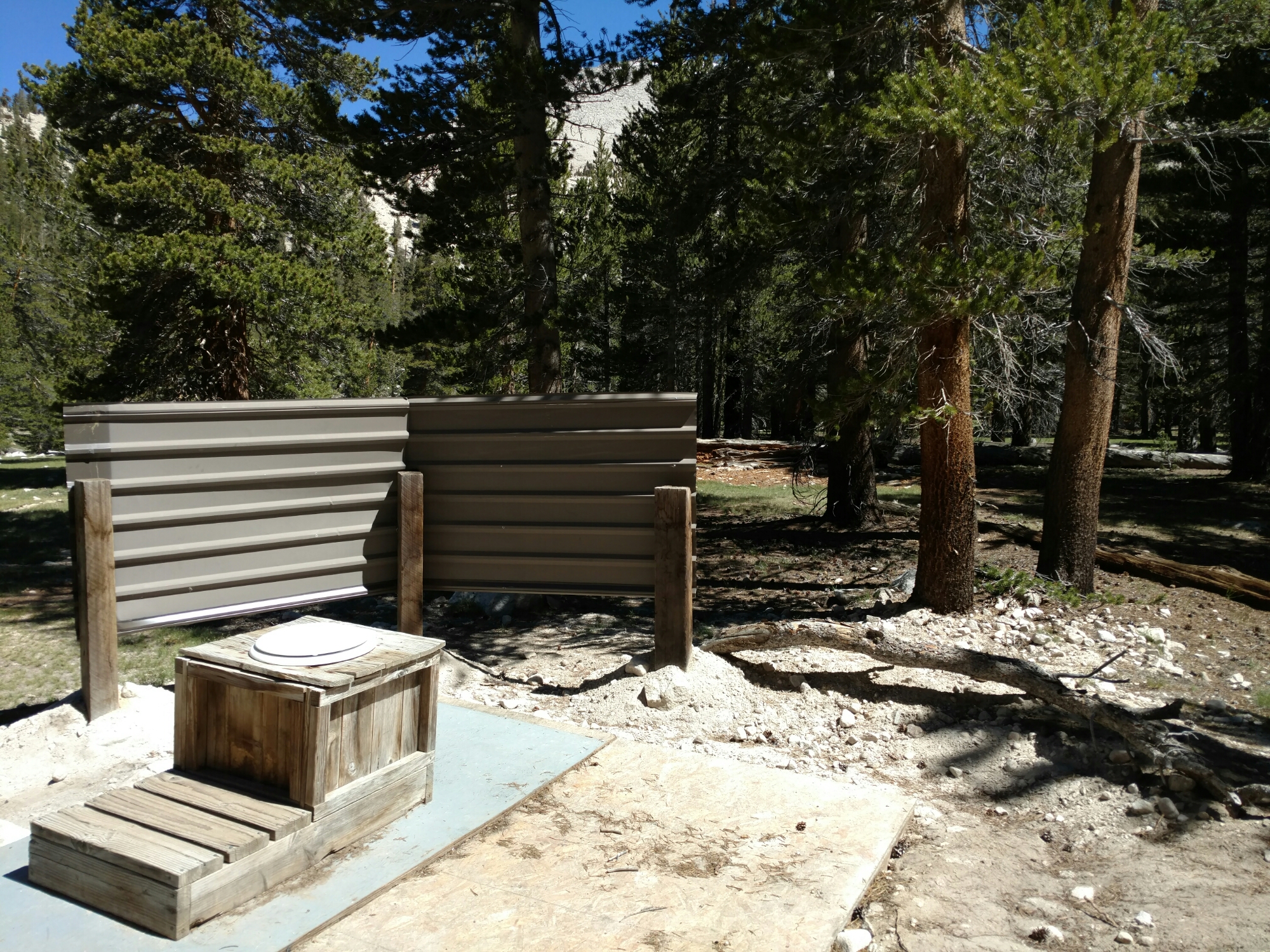
Since this was such a well-used campsite, there was a toilet set up in one corner of the meadow. Probably to keep the stray toilet paper problem under control. It looked a bit more outdoorsy than the other outhouses we’d seen so far, though.
We pitched our tents way across the meadow from it, and went to sleep.
