I woke up with condensation on my rain fly and my quilt. Washington was getting me wet even without rain. We got up and got moving. It was a cold morning, and the air felt damp.
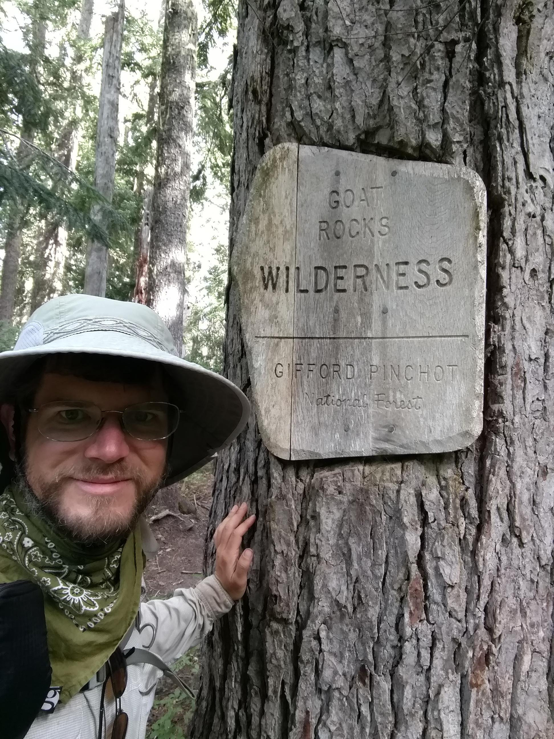
This morning we entered the Goat Rocks Wilderness, which is reputed to have some of the best scenery on the PCT. And yes, it has goats, and it has rocks.
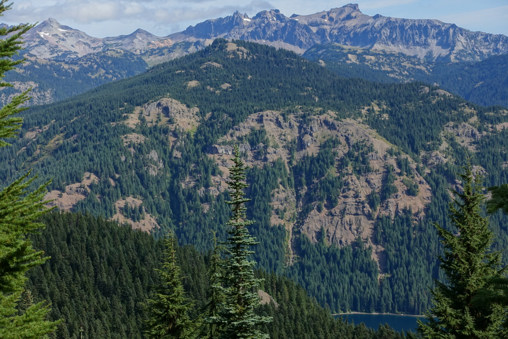
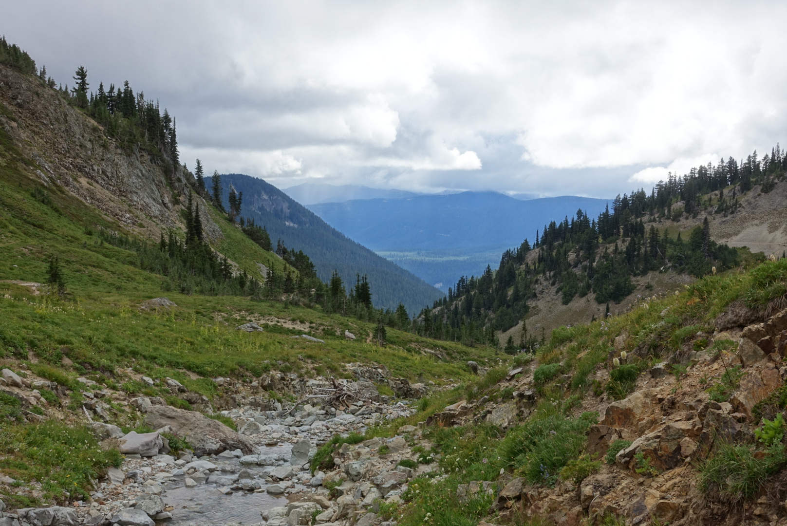
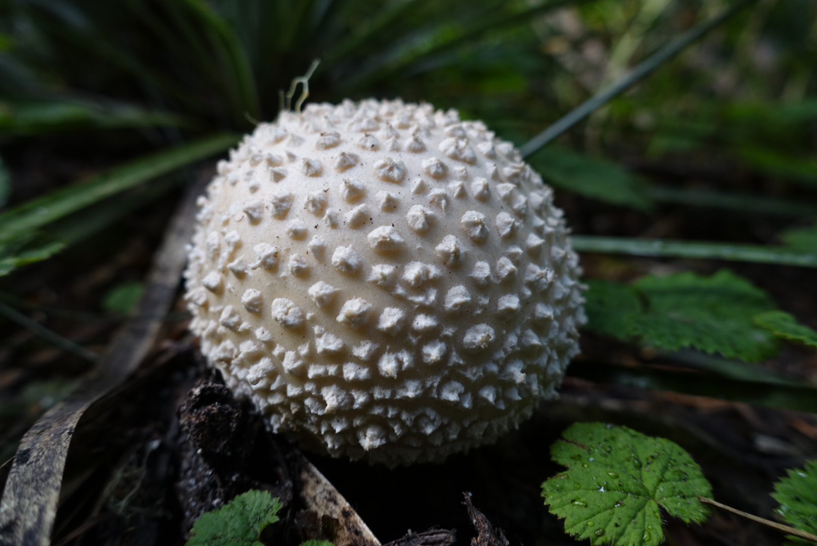
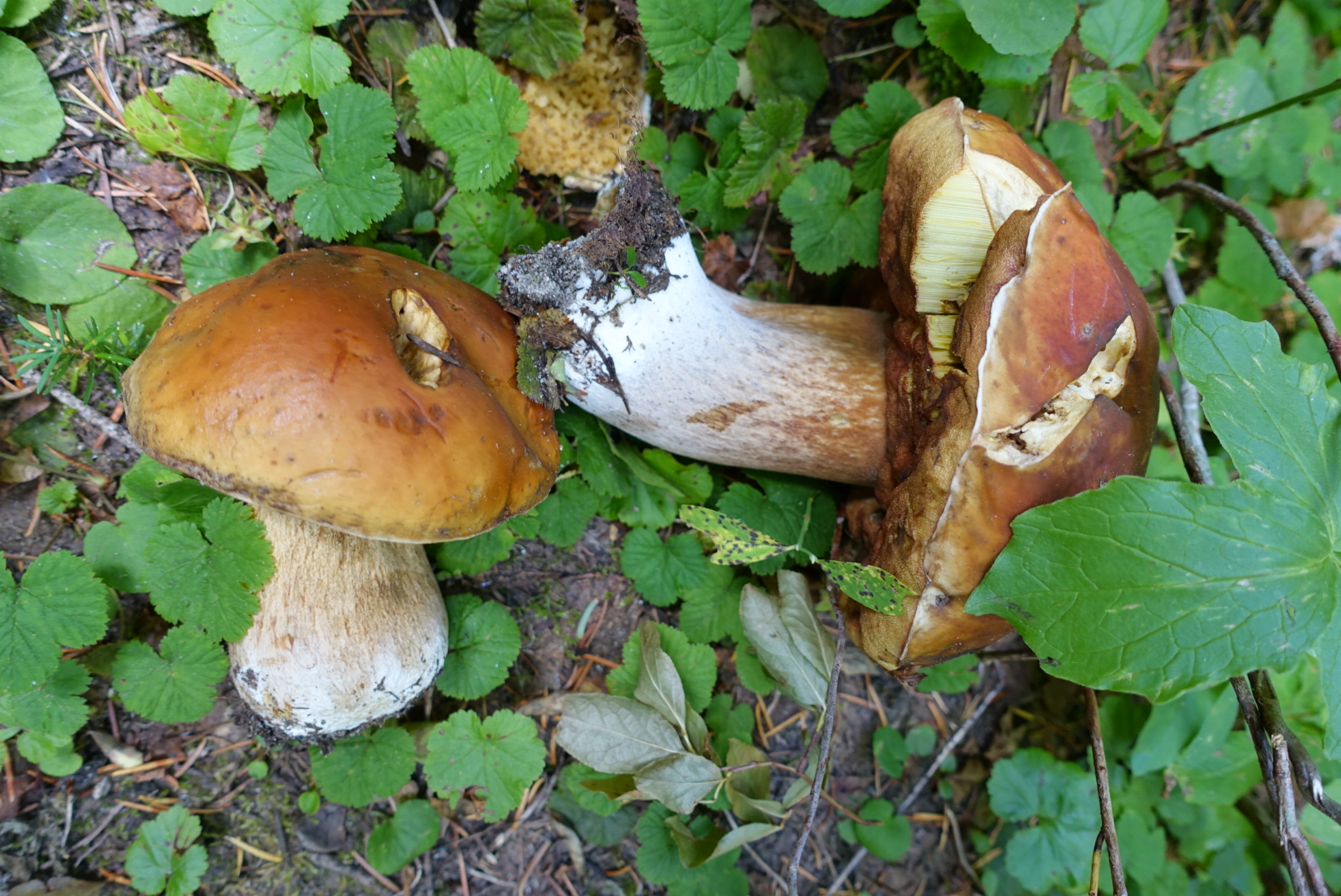
But, the morning was much the same as we’ve been seeing lately. Damp woods, with interesting fungi, and occasional views of mountains.

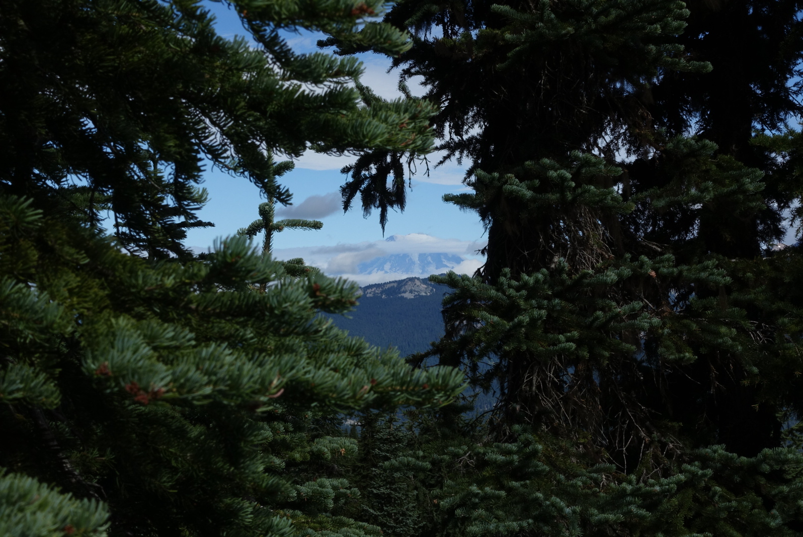
There’s an old joke about Mt. Rainier. They say you can predict the weather by it. If you can see it, it’s about to rain. If you can’t see it, it’s raining. We caught a brief glimpse of it before noon, but soon clouds were rolling in.
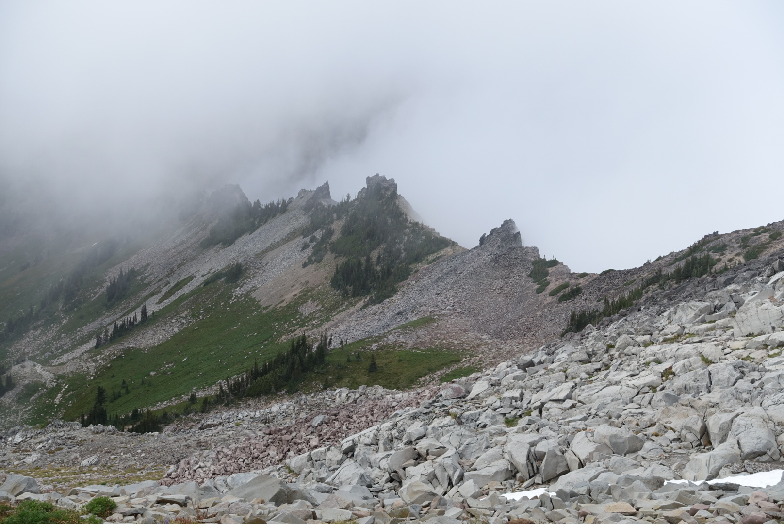
By the early afternoon everything was overcast and covered in fog. No more clear views of distant mountains.
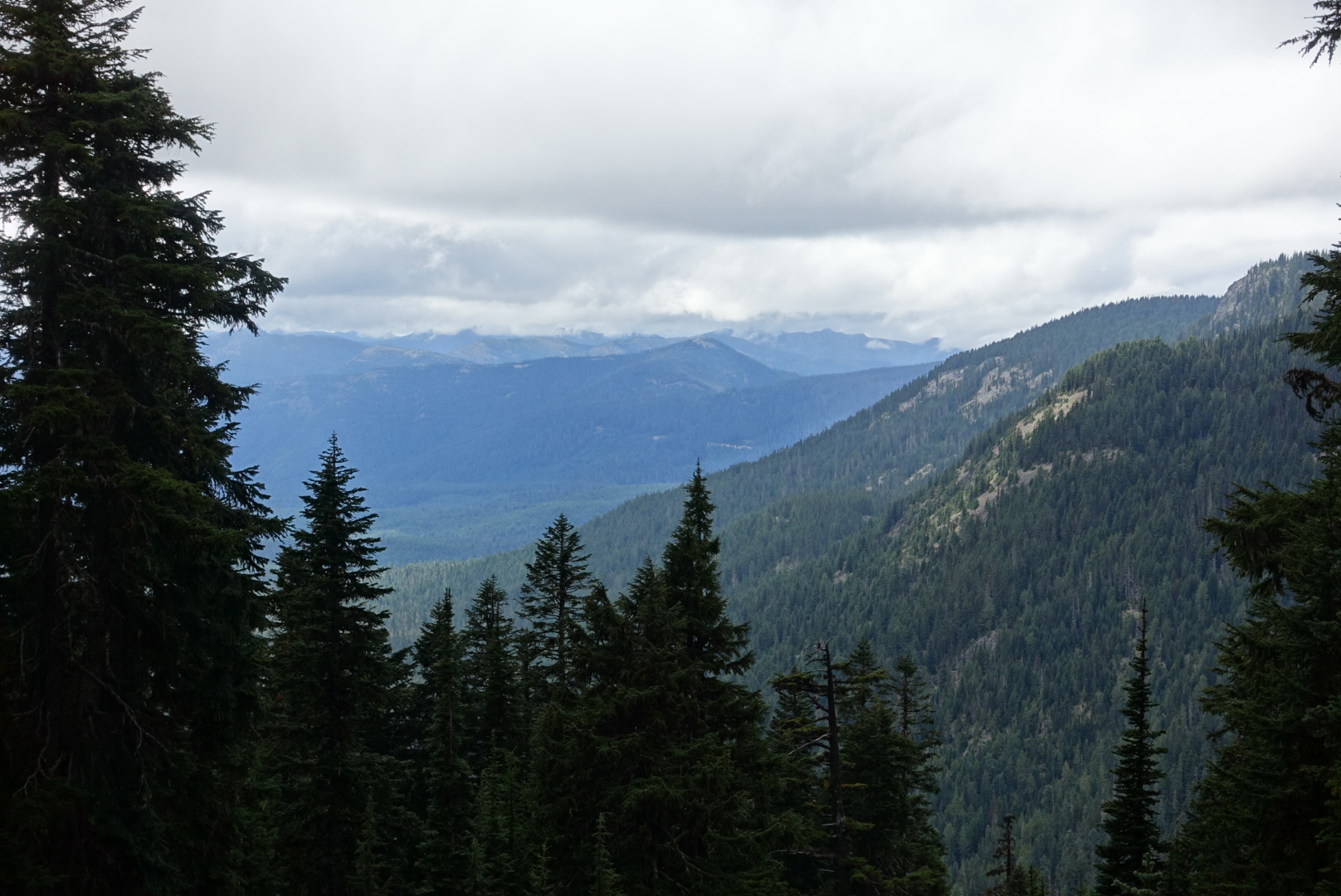
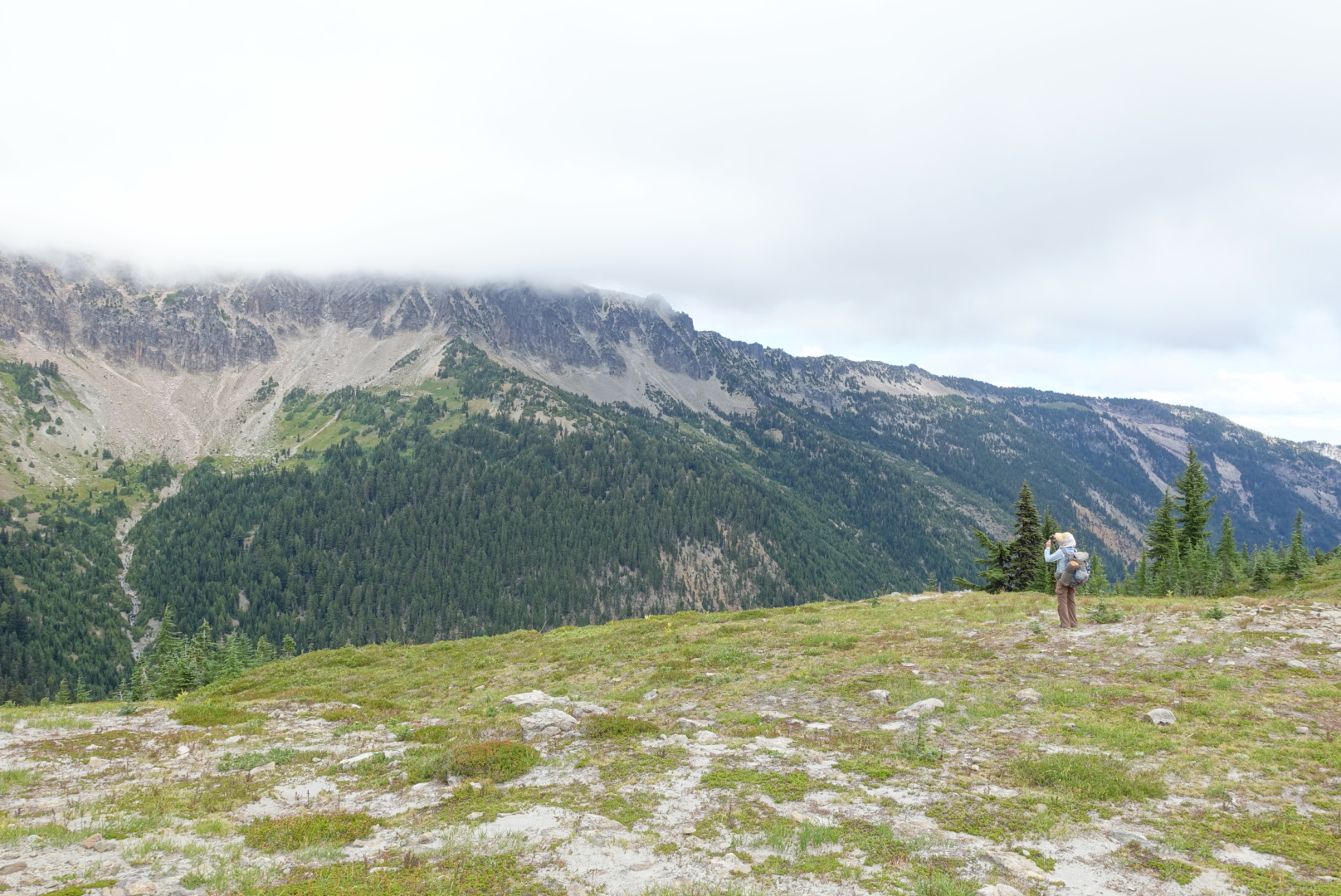
The trail continued, and we saw more and more overcast scenery, but none of the goats that this area was named for.
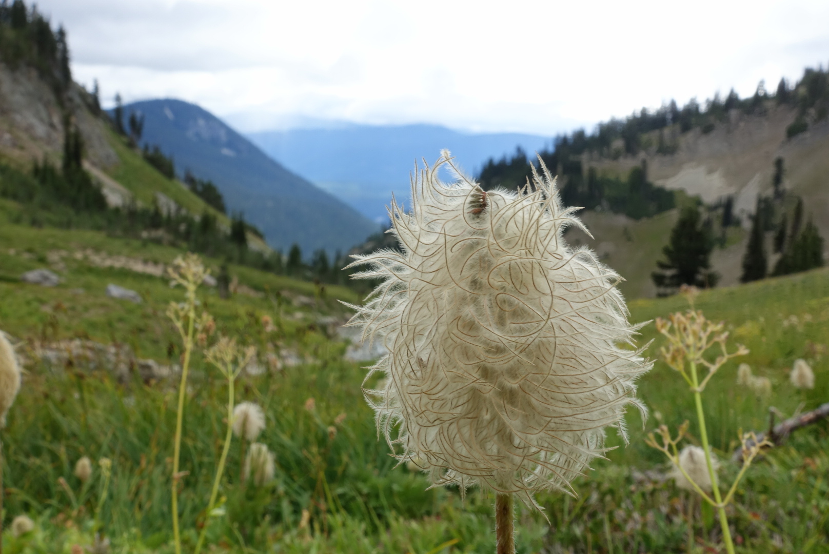
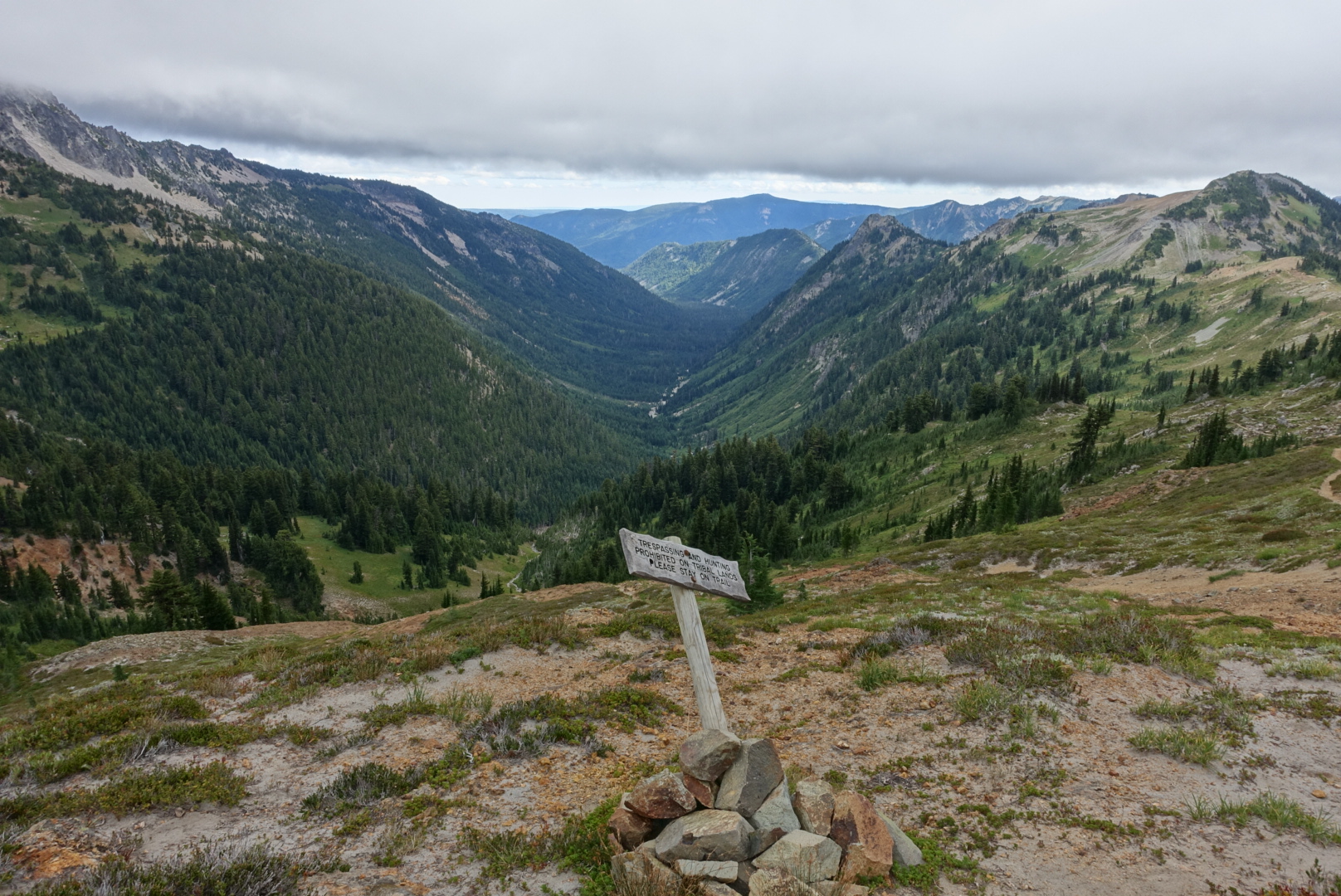
As the day grew later, the weather got worse, and we began to climb to higher elevation.
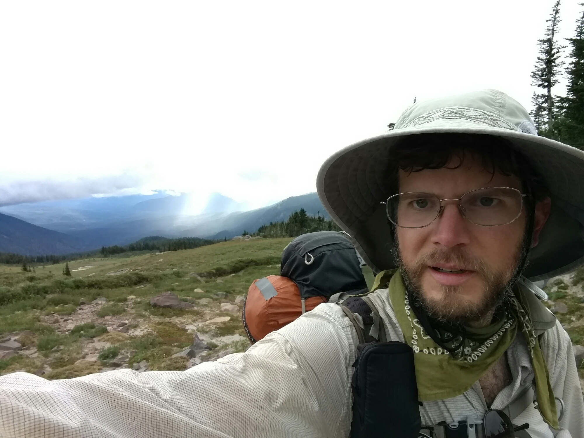
We started to get intermittent drizzles as we ascended above the treeline.
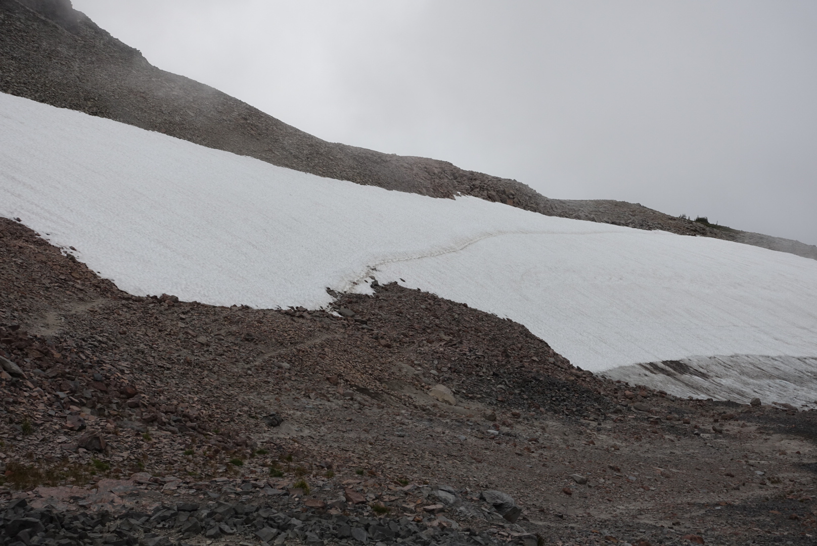
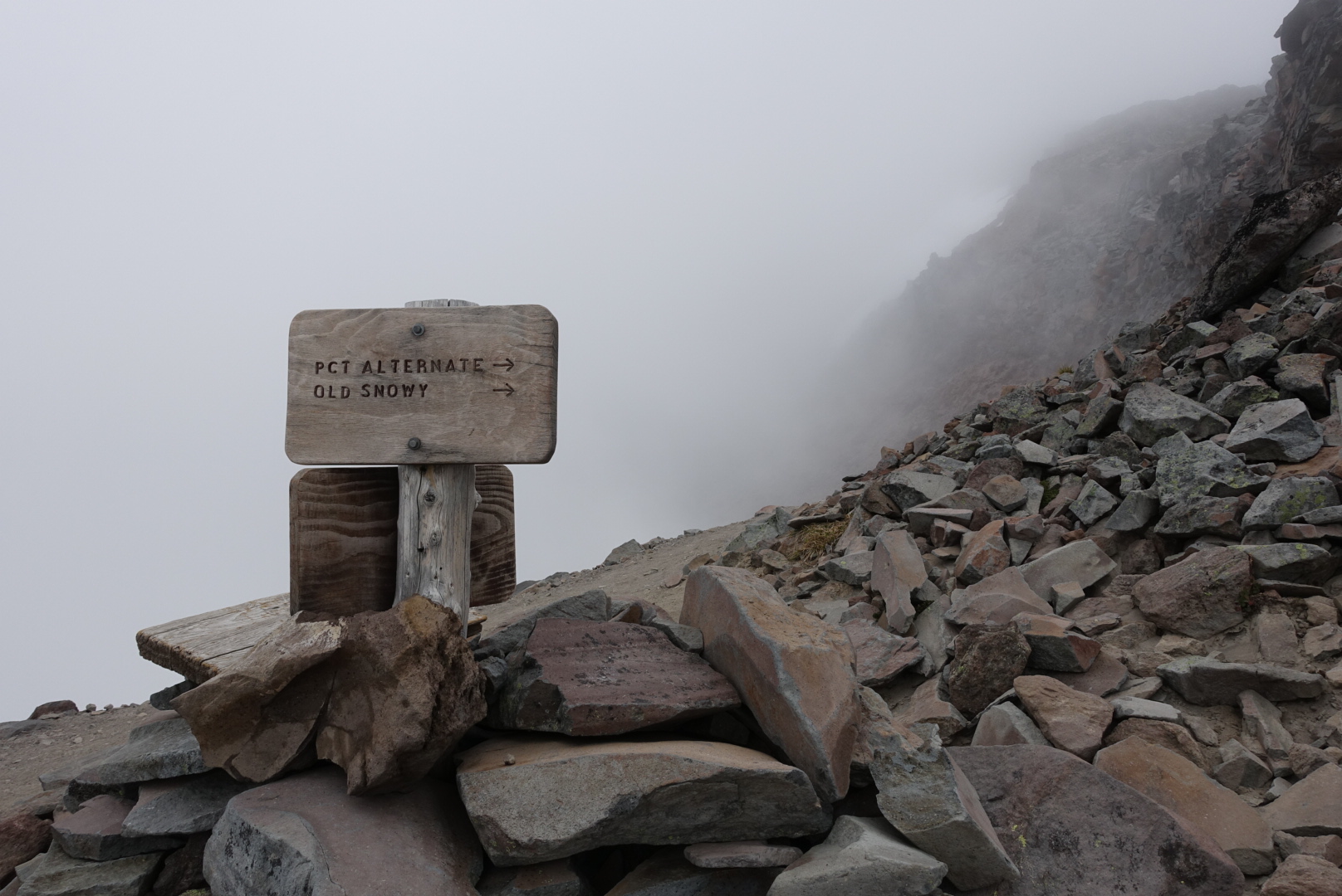
We reached a branch between two sections of the trail. A lower, official route, and a higher alternate.
The lower one used to be the equestrian route, and takes you through a cut in the side of the mountain next to a steep slope covered in snow. It could be extremely slippery late in the day when snow is melting, or with rain. Thinking back to Sonora Pass, I didn’t have a good record with slippery snow.
The higher one used to be the hiker route, but it’s now called the “Old Snowy Alternate,” after an adjacent mountain peak, or “The Knife’s Edge,” after its route along a jagged ridge. It had a reputation for the best scenery on the trail in clear weather, or for being a terrifying viewless fog tunnel along dangerous terrain when the weather is not so clear. The weather today was definitely not so clear.
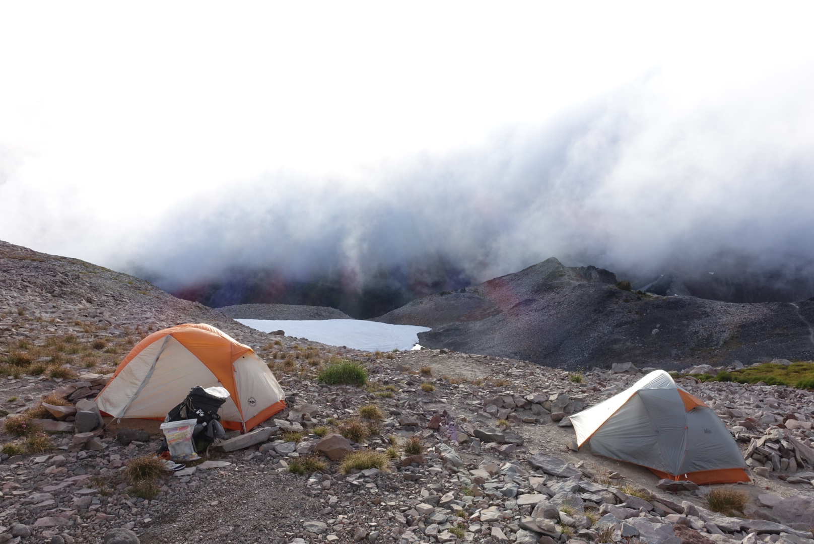
We decided to make camp early, and hope for better weather tomorrow on the Knife’s Edge. It was about 5:30, so we were only missing about 5 or 6 miles for the day. We found some cleared tentsites among the rocks next to a snowfield, and started to make camp.
It got colder and windier as I struggled to put my tent up. The rocky ground made driving stakes nearly impossible, so I wrapped my tent’s guylines around rocks, building little cairns to hold them in place. It was fiddly, frustrating work, as the tentsite got colder and windier.
“It’s getting cold,” I said to Elizabeth, “I mean, really cold.”
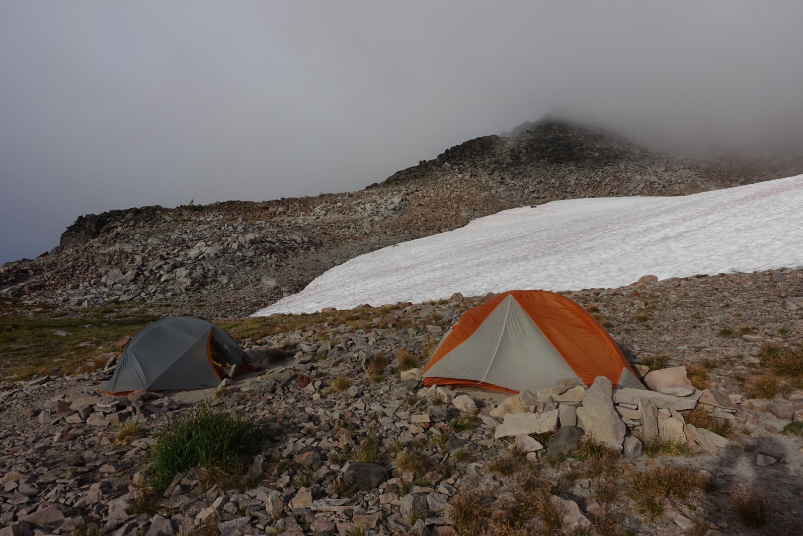
Soon after I finished pitching my tent, it began to rain. I got inside the tent, and looked at my work. The rain fly can’t be pitched very tightly on this tent, so it was flapping against my tent’s body, transferring rain inside.
Right now, I’m huddled in my tent, watching drips make their way through my various defences. This might be a rough night.
