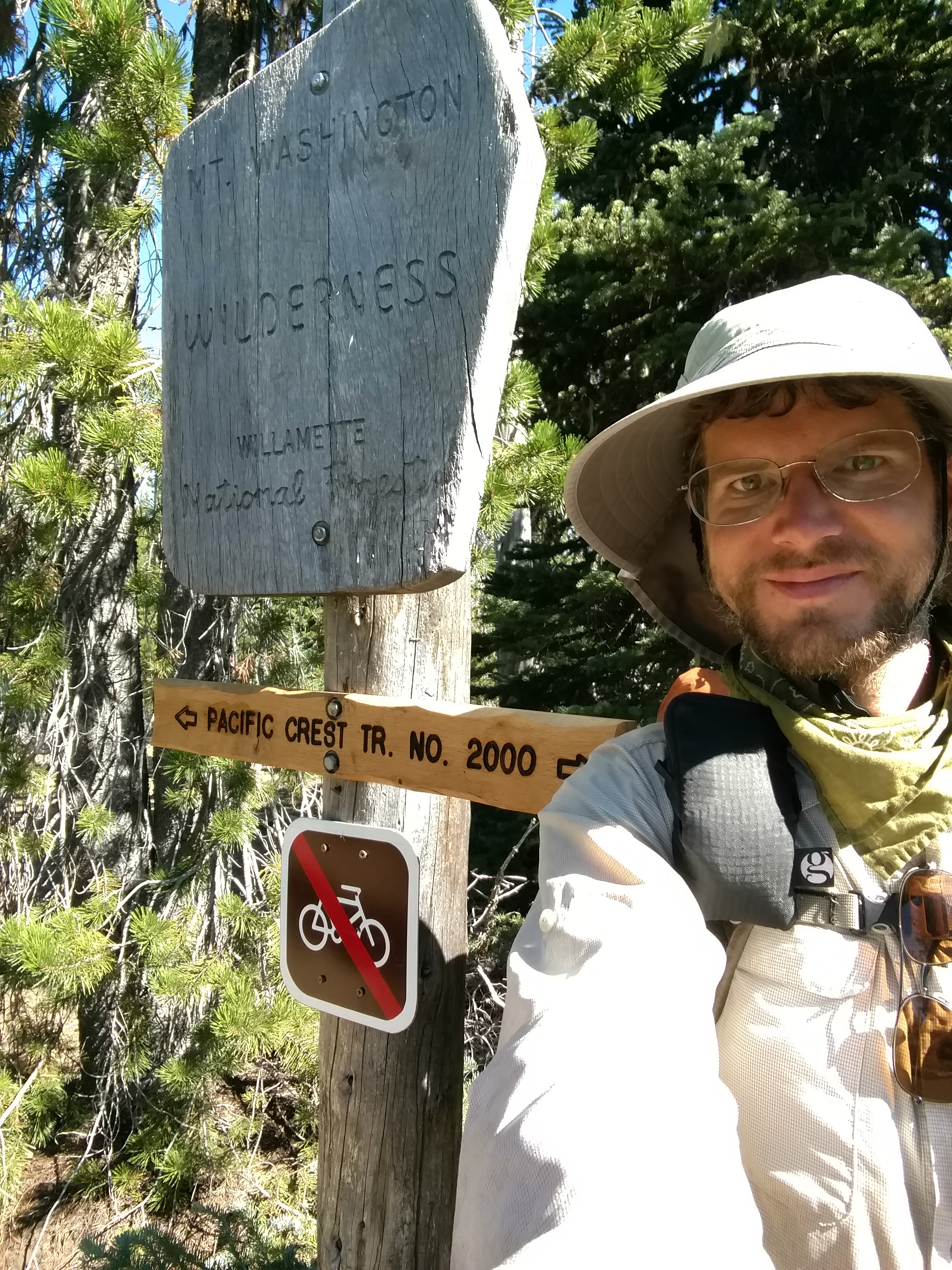
CS2016 to Olallie Lake Store – 8-21

Last night had been cold and windy. The days are definitely getting shorter, and the nights are getting colder. I can’t stay on the trail forever.
image
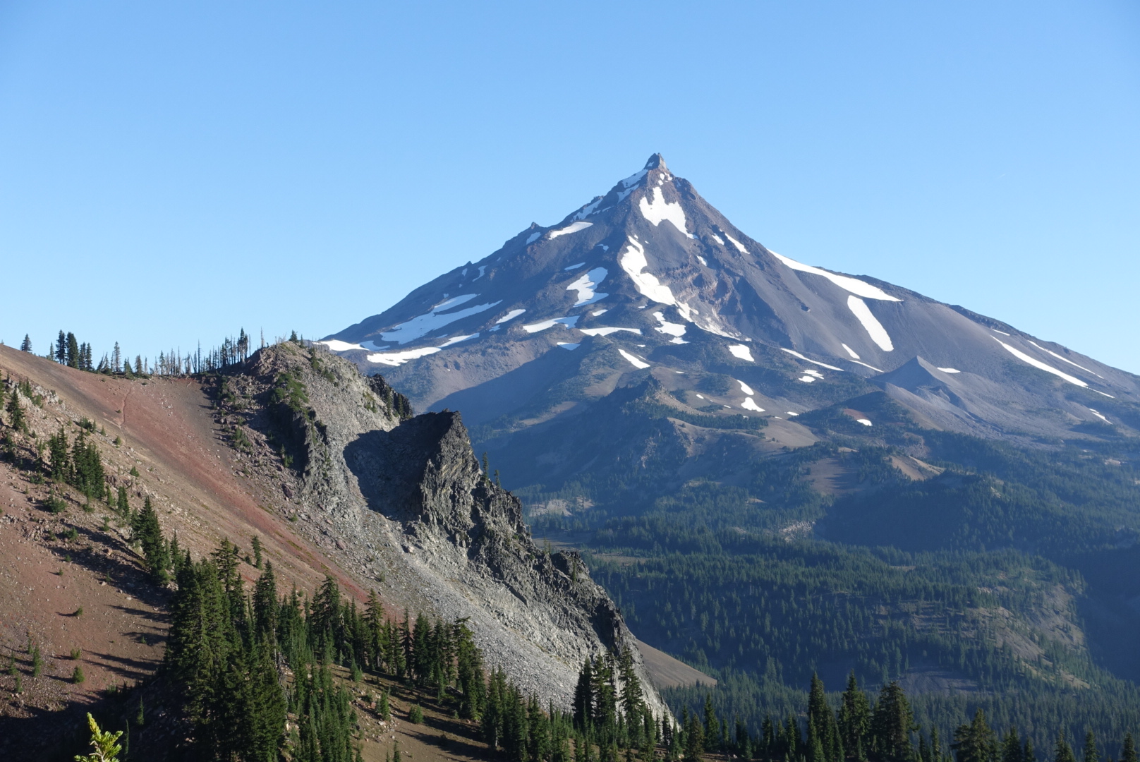
My campsite's view of Mt. Jefferson in the morning

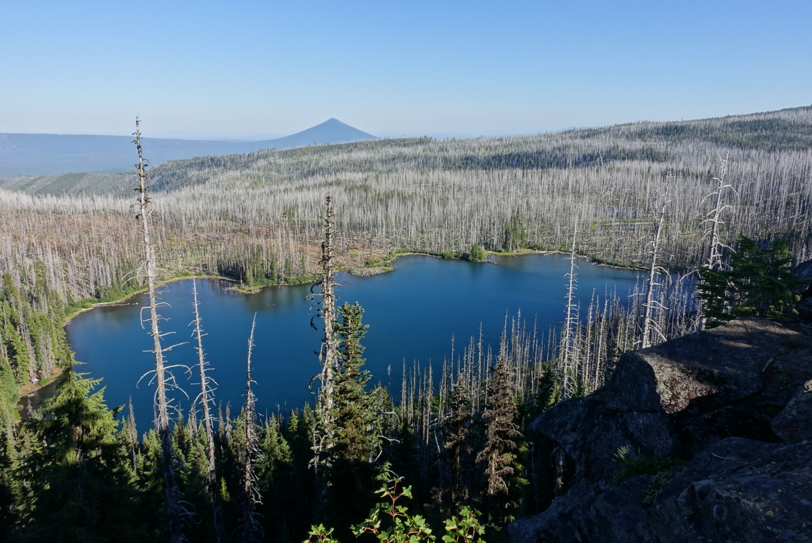
Today had many, many water sources. Ponds, lakes, streams, and so forth — they were all there today.
image
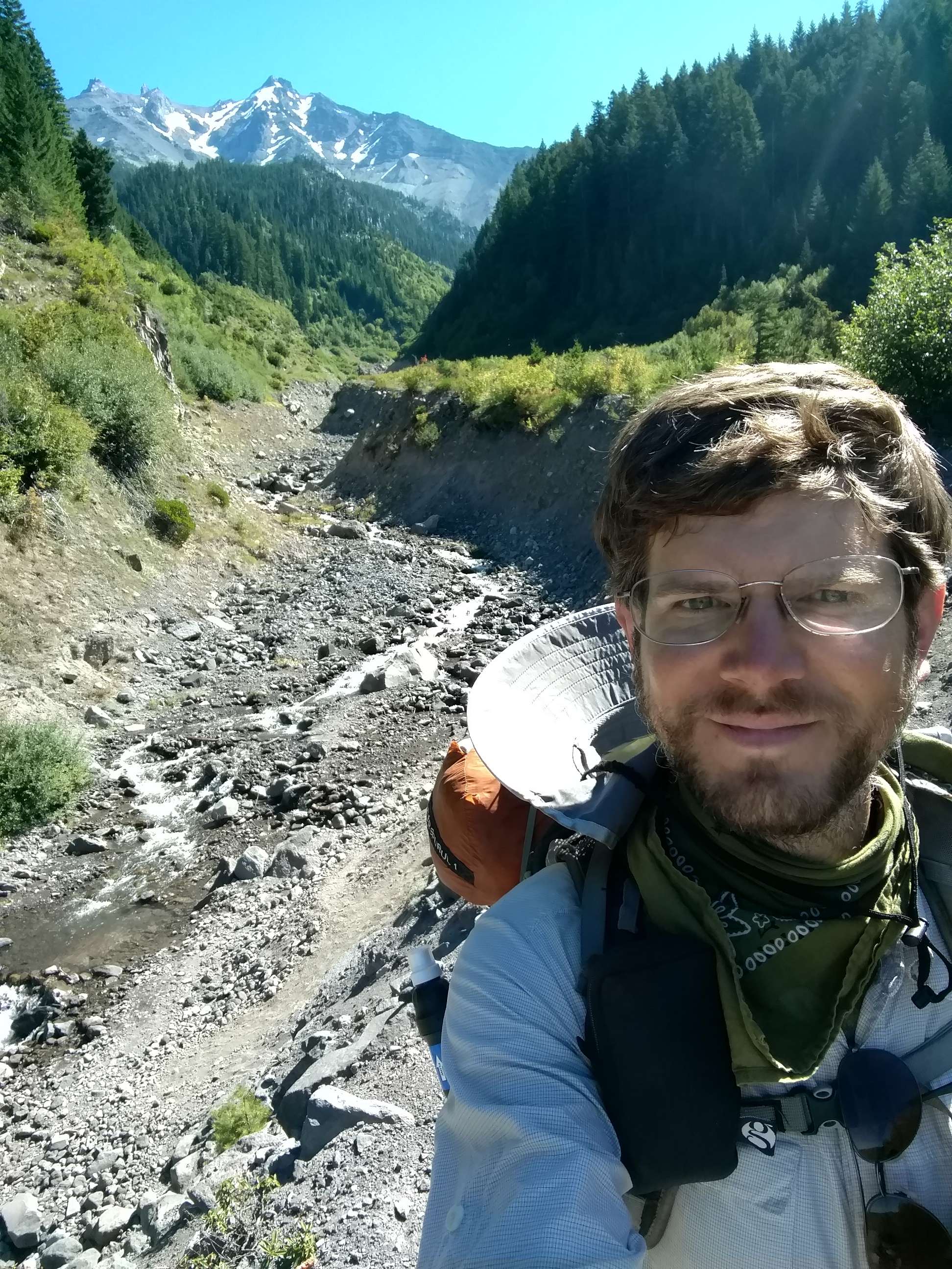
A fast-flowing stream of snowmelt

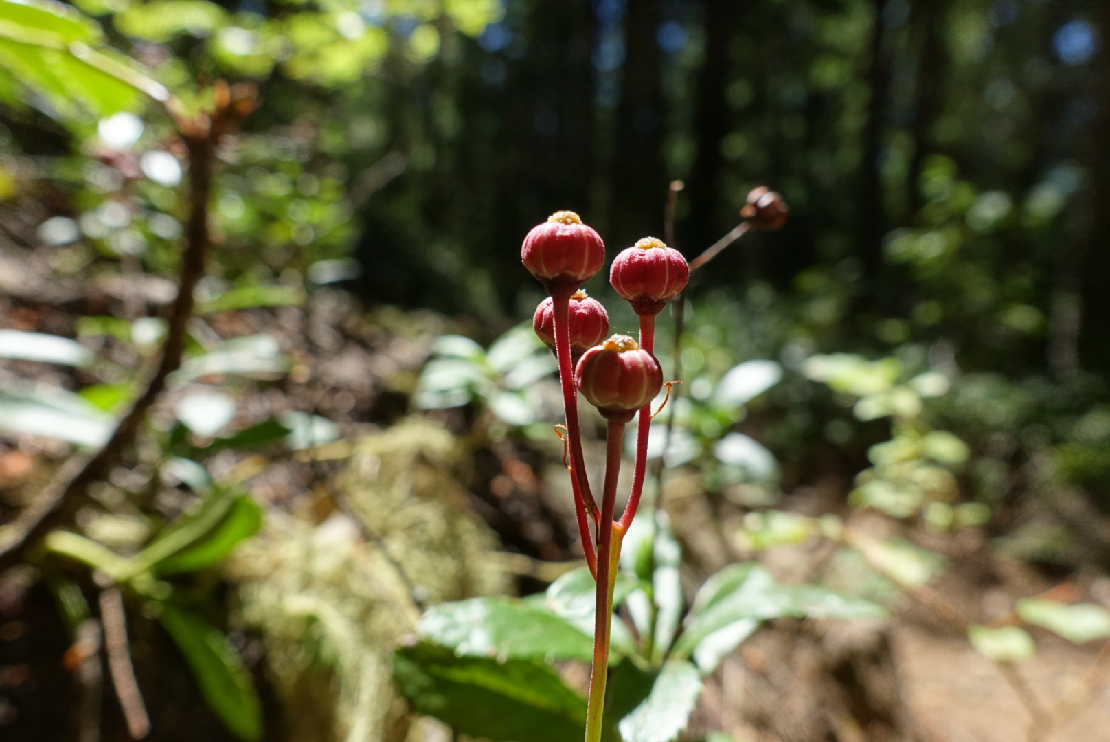
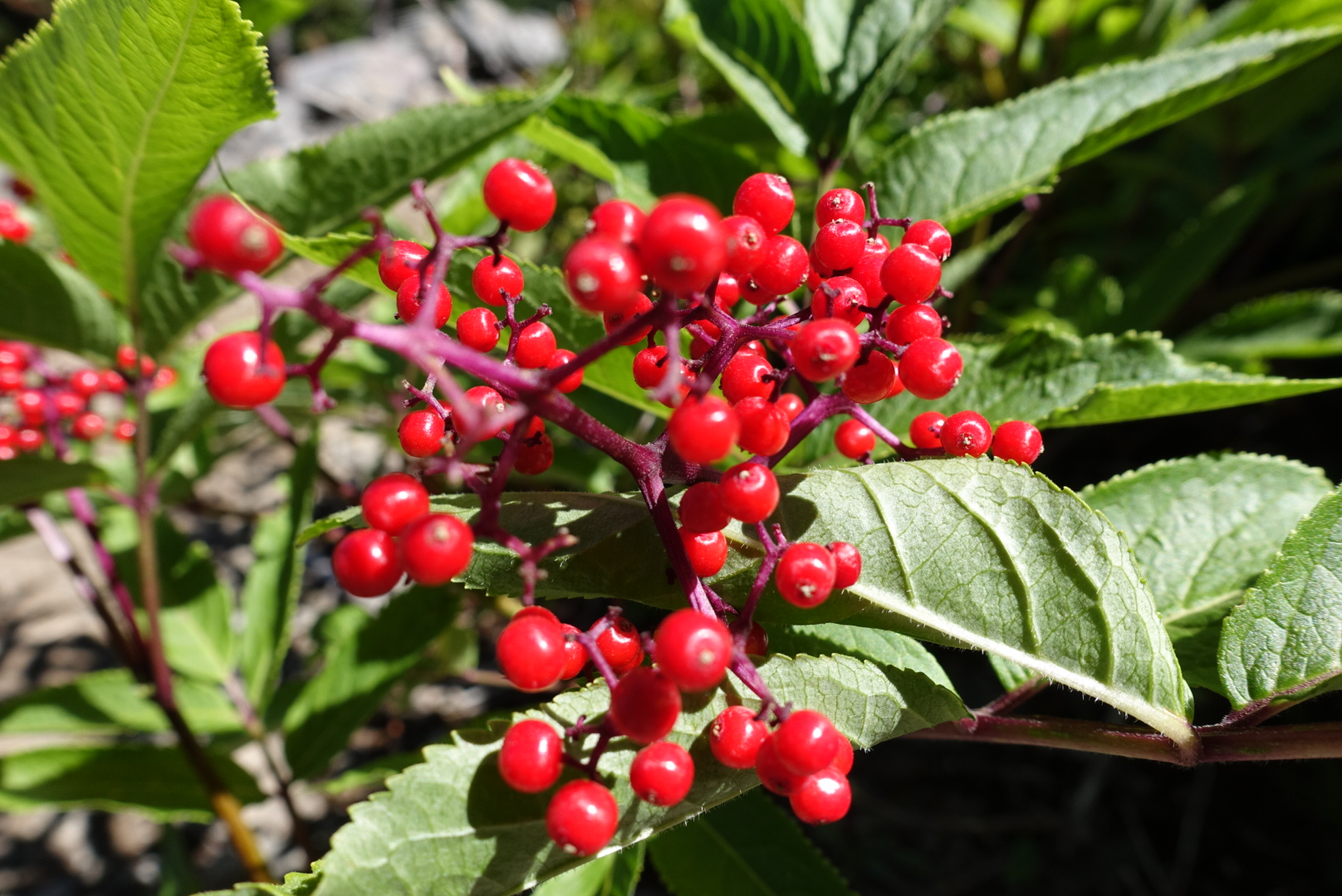
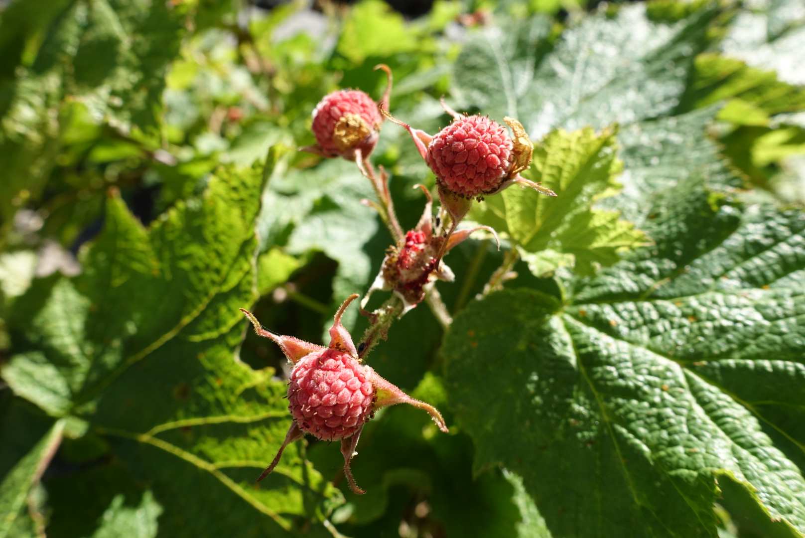
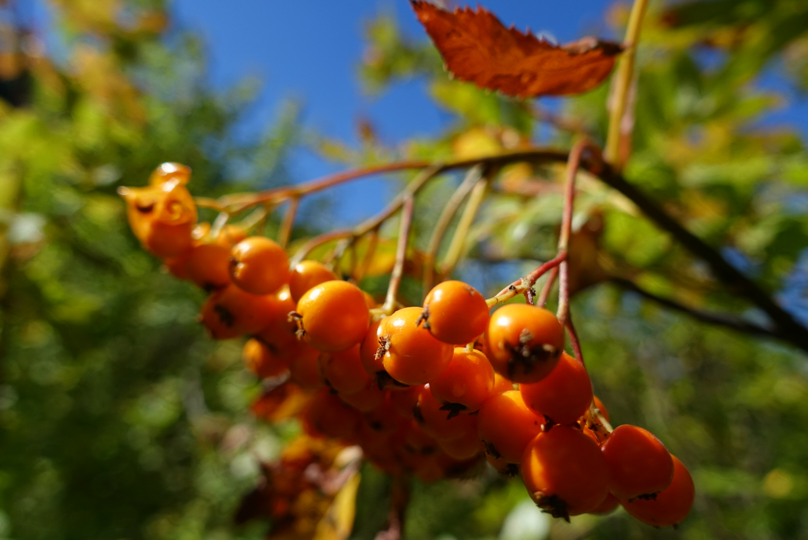
Oregon’s berries were out in full force on this part of the trail, too.

image

image

image

image

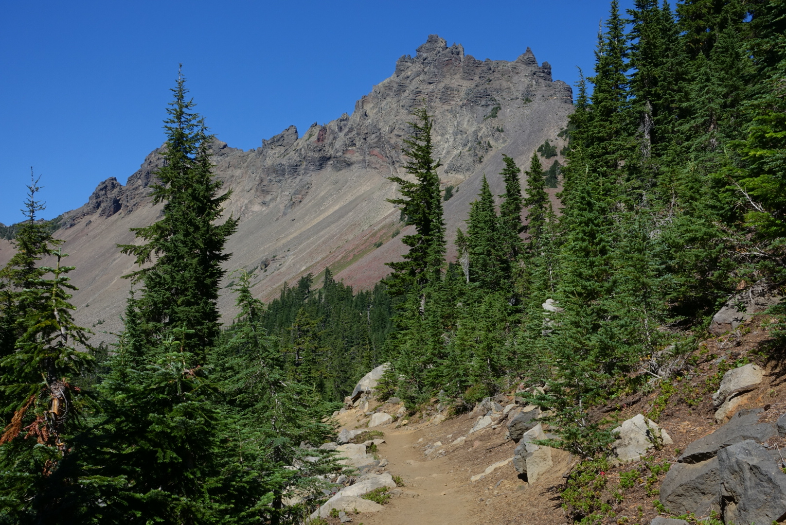
As the day wore on, I got pretty hungry, but the scenery just kept getting nicer.

image

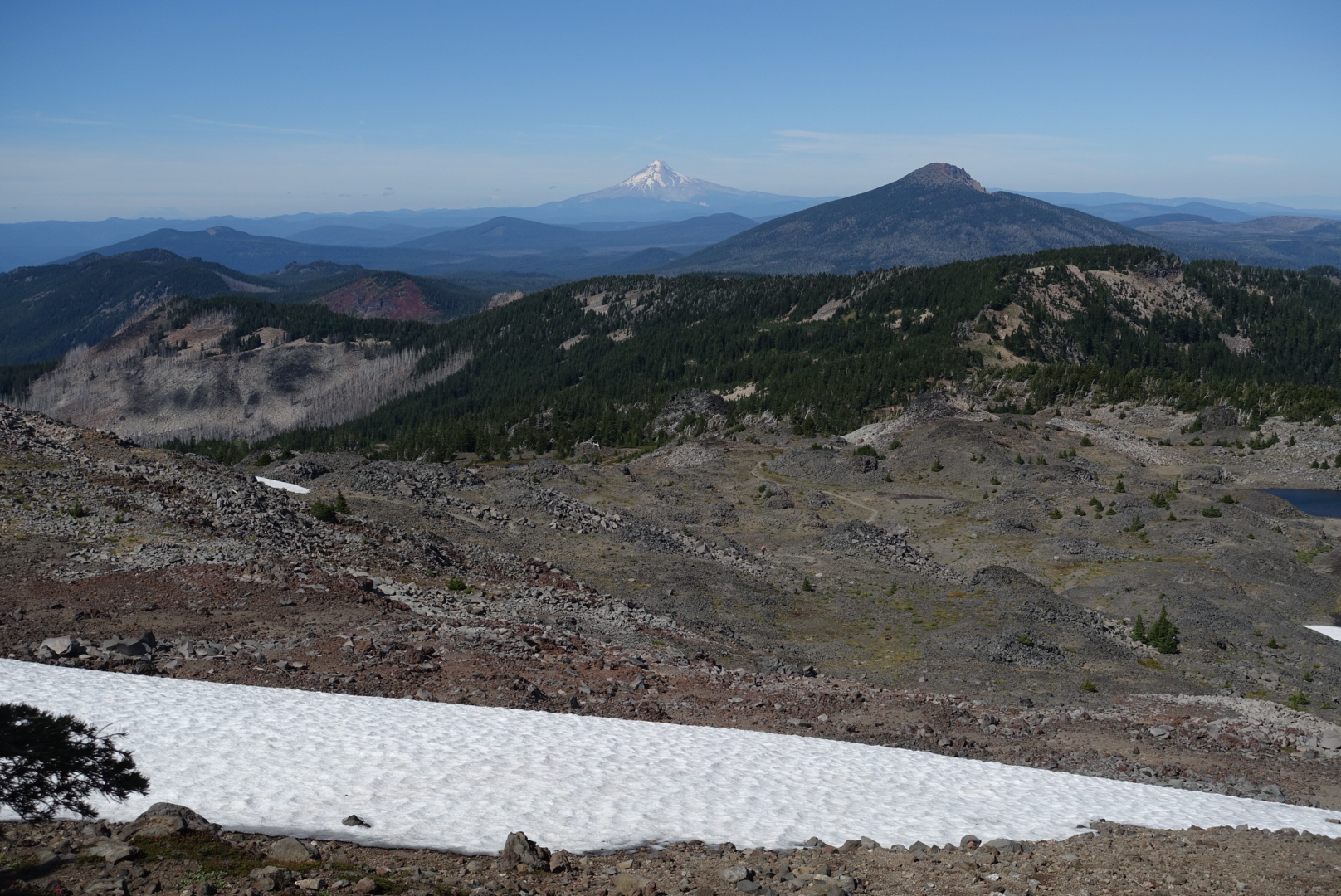
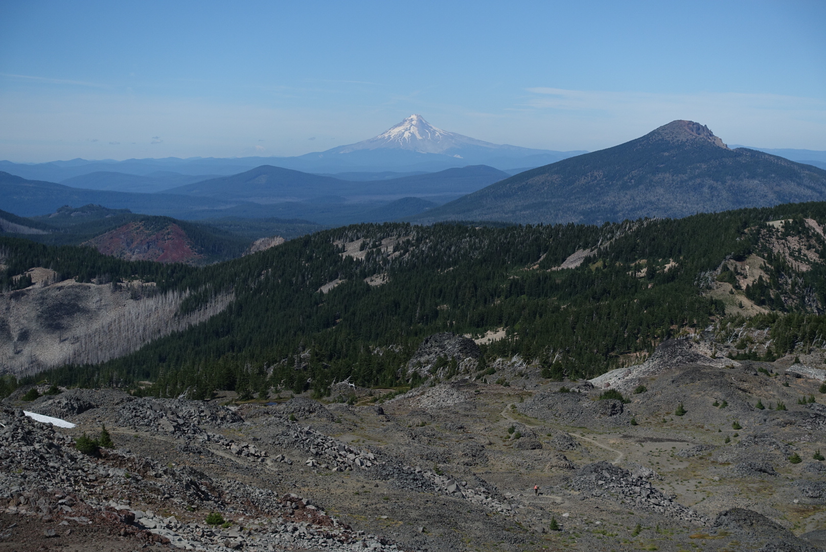
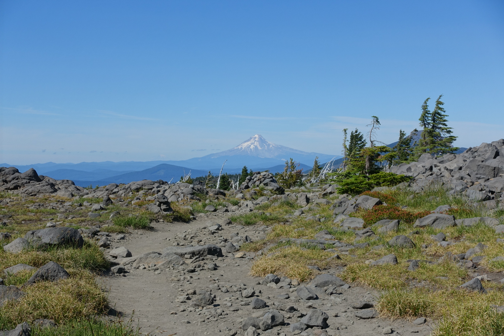
A new mountain made an appearance in the distance today. I think it’s Mt. Hood.
image
As long as it's not Shasta, I'm happy

A high pass brought back something I’d thought I left behind in the Sierras: Snowfield crossings.

image

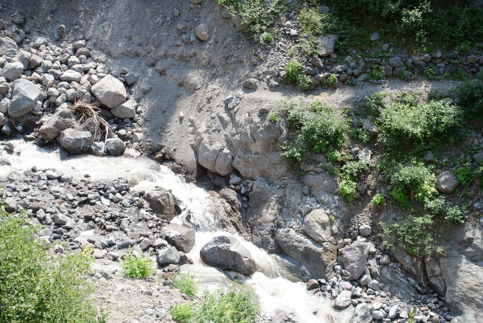
The altitude wasn’t that high — about 7000 feet — but the terrain was very reminiscent of the high passes of the Sierras.

image

image

image

image
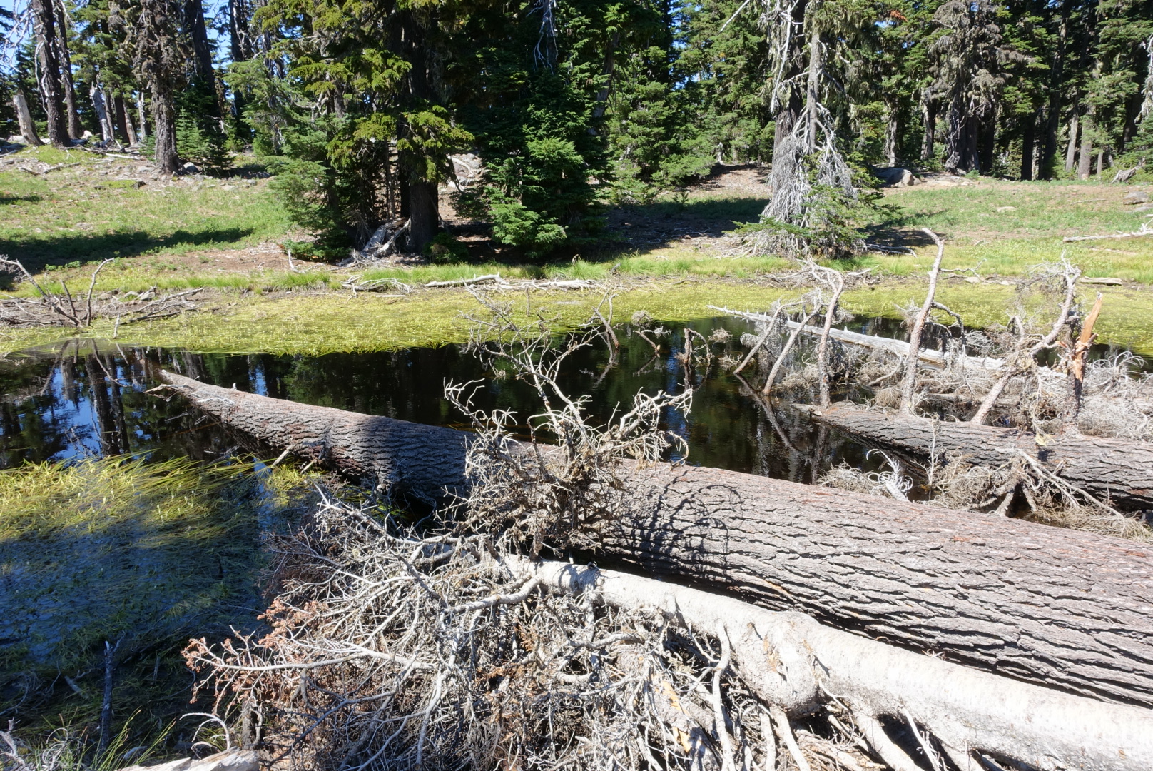
Complete with a high-altitude meadow
image
There was even a tricky stream crossing
image
Proof that I'm still on the PCT: This sign is held in place with dental floss

The food situation was pretty bad today. As I got hungrier and hungrier, I got slower and slower. The 7-hour stretch from my small lunch until dinner was rough.

But I got to the Olallie Lake Store before closing, and got my fill of food. The store’s picnic tables were a gathering point for hikers, so we sat and chatted about the trail until late tonight, then set up camp in the woods next door.

Next to my tent, some southbound PCT hikers sat at a picnic table, illuminated by an eerie green lantern, and speculated about trail I’d just been on. They brought up the Big Lake Youth Camp, and it’s free laundry and showers. I relayed to them what Elizabeth had told me — that it not only had laundry and showers, it also had free breakfasts and bag lunches. This boggled their minds.

Just before getting into my tent I warned them about the nonexistent spring. They thanked me, and I went to bed.

image
44.81377, -121.78996

Santiam Pass to CS2016 – 8-20

Visiting Bend was a lot of fun. There were many great places to eat, resupplying was quick and easy, and I was able to replace my slow filter at an actual REI.

image
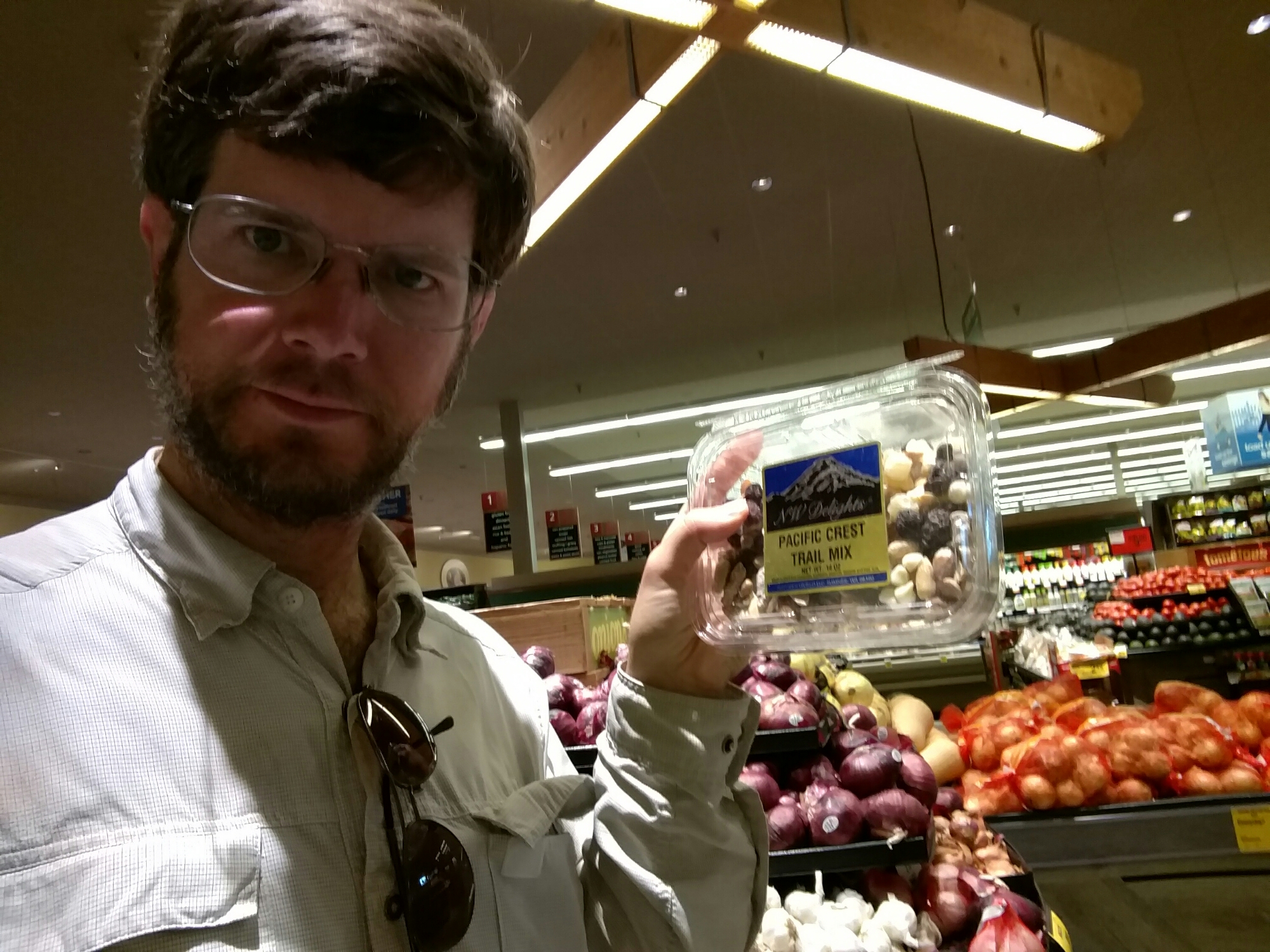
The local Safeway had some funny ideas about how to package hiker food, though

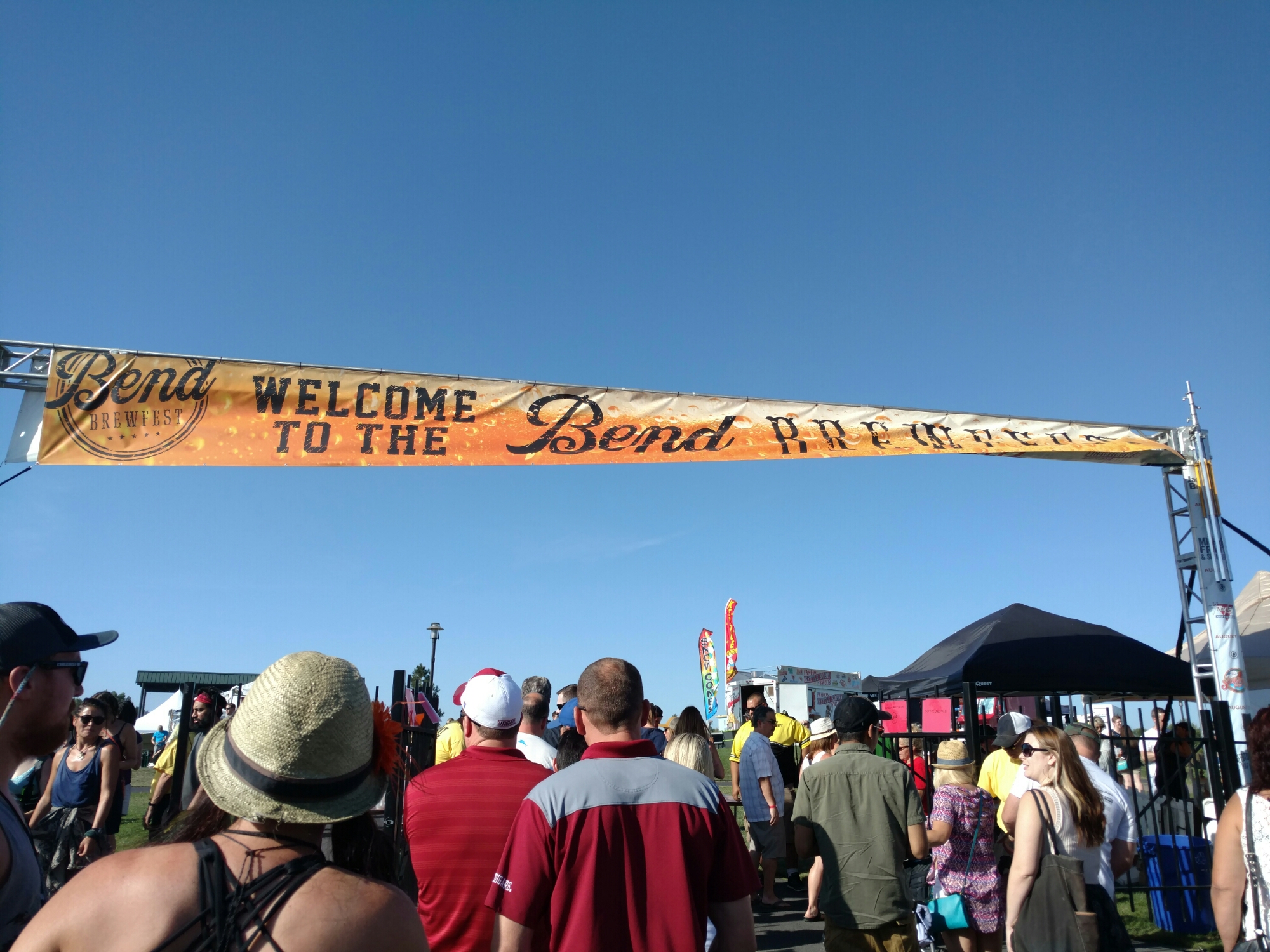
I happened to be in town during a beer festival called Brewfest. Bend being something of a center for brewing (there are more than a dozen breweries in this fairly small town), Brewfest is a major event.

image
People came from near and far. Which is probably why hotel prices were so high.

Sadly, I was feeling carsick by the time we got to the event, so I couldn’t really properly enjoy the festival, but I found a couple new beers I liked. It seems I get carsick much more easily since I’ve been hiking.
image
One problem with American brewing: Everybody's specialty is an IPA.
image
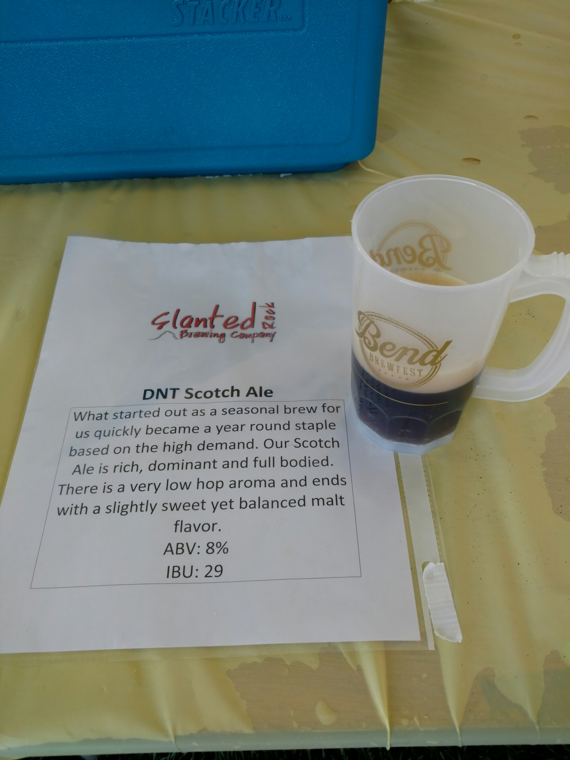
One of my favorites, Slanted Rock's scotch ale. My other favorite was Deschutes' strong ale "Irish Water".

The time to leave town came way too soon, and I found myself on the trail at about 2 in the afternoon after only one full day in town.

What’s more, I hadn’t packed quite enough food. I’d gone light on the meals, and didn’t count out the snacks properly. Further, I’d been planning on leaving town with my belly stuffed, but I’d felt carsick, and couldn’t eat all that much for lunch (just an egg salad sandwich, a few fries, and a three-star chocolate milkshake at The Depot Cafe in the town of Sisters). And, I’d slept late and skipped breakfast. I’d definitely finish this stretch hungry.

And, I hadn’t looked at the water report before leaving. Standing in the parking lot, I realized I had 10 miles to cover in the hottest part of the day, with only 1L of water.

I left the last major town of the PCT in bad shape. I dragged like crazy all day.

image
No mountains or Jeffersons in sight yet
image
There was no monument at the 2000 mile marker. This is where it should've been.

The scenery was nice though.

image

image

image

image
Koko Lake, downhill from where I could finally get water
image
Rockpile Lake, another spot I got water
image
A high-altitude clearing

I hiked late, since I needed to be in range of the Olallie Lake Store tomorrow, or I’d have no dinner.

image
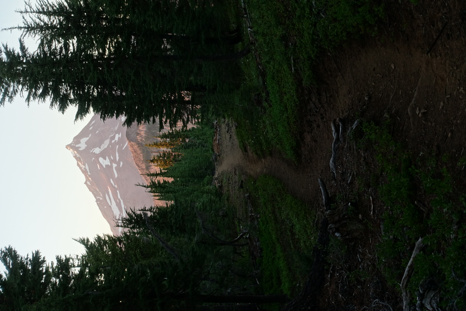
As the sun was going down, I got my first views of Mt. Jefferson

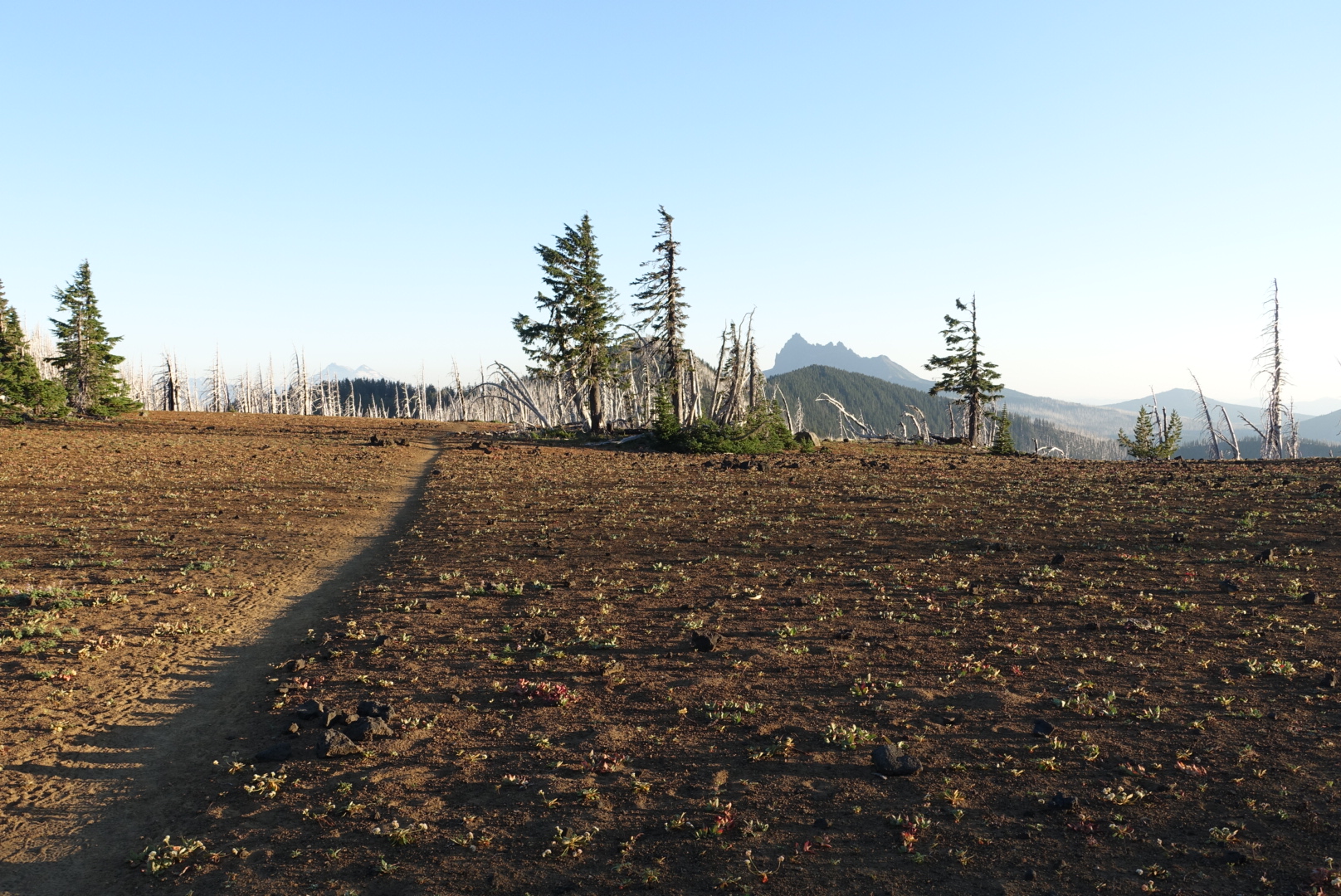
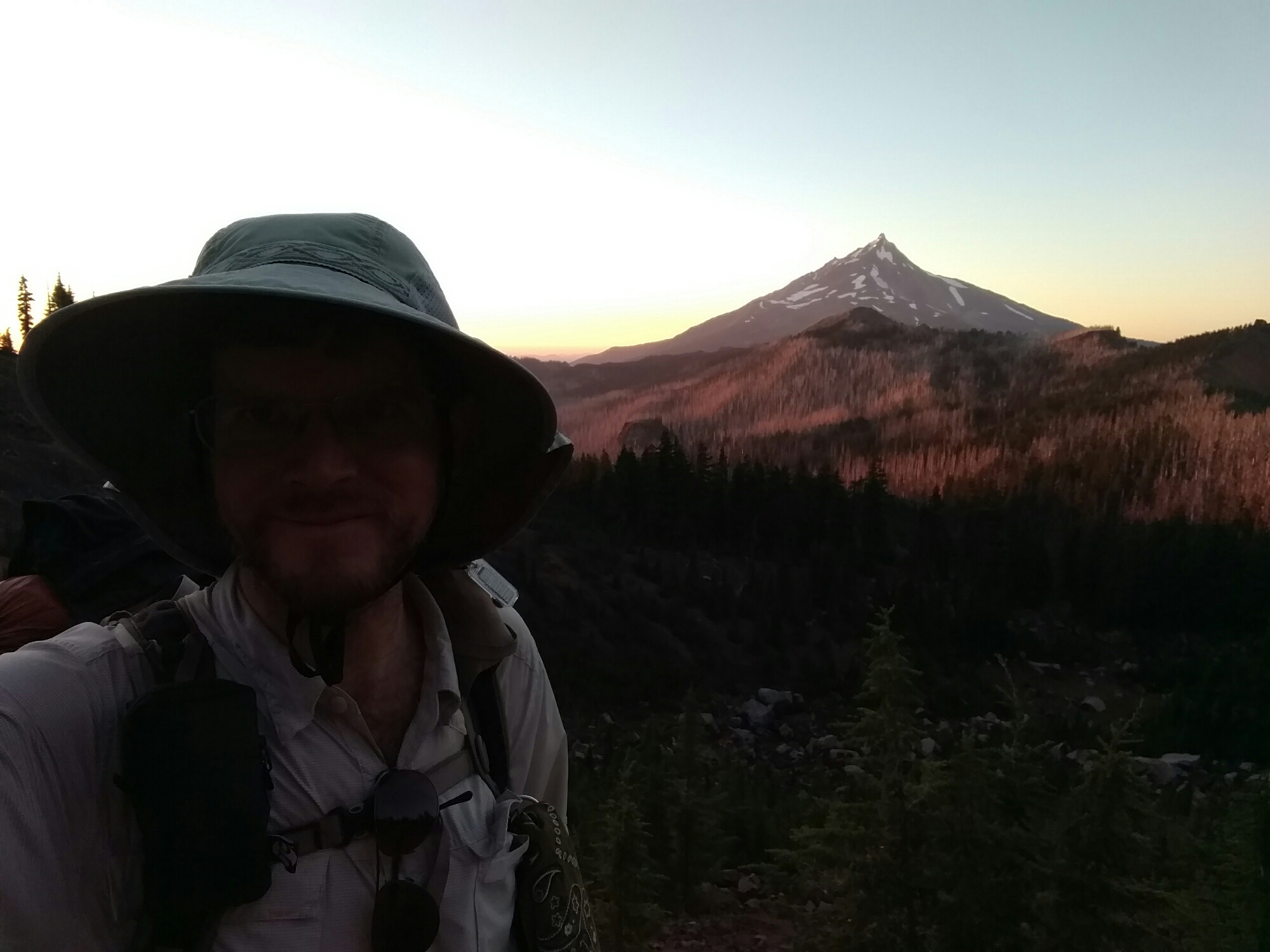
The sunset was very colorful today. In the forest, rich red light filtered through the trees. In burn areas, the light was pink on the white tree trunks. When I finally set up camp, the sun was almost completely set.

image
Mt. Jefferson, a burn zone, and me

image

image
44.59854, -121.79689

CS1974 to Santiam Pass and Bend – 8-18

I awoke in the otherworldly camp site, and took a few pictures before getting going. Even with better light than last night, I couldn’t really capture the atmosphere.

image
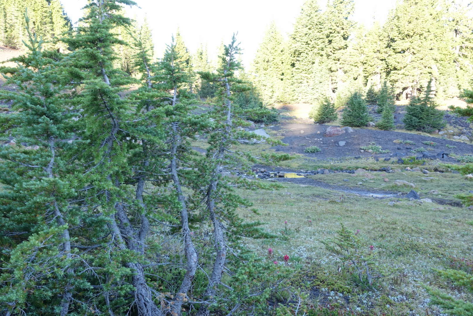
Wiggly trees and a creek

There were only 25 miles remaining to Santiam Pass. It could be an easy day depending on the terrain.

image
Not a great outlook so far, though

image

image
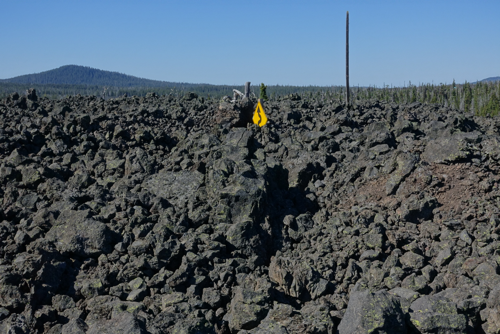
Lava rock for miles

After a few miles of lava rock, my hopes of good terrain were low. I approached McKenzie Pass, and was surprised to find a water cache there. There was supposed to be a good spring in a few miles, according to the PCT Water Report. It sounded refreshing among the hot, dry lava rock.

image
I passed this lake, since I didn't need water
image
Highway 242 was buried among the lava rocks

A few moments later, a now-familiar “Coppertone is here” sign appeared, and I stopped briefly and chatted. None of the other hikers had heard of the excellent spring a couple miles out. I headed out.

image
A regulatory boundary next to where Coppertone had set up

image

image

I reached the spot where the excellent spring should be, and sure enough, no spring. There wasn’t any evidence that a spring had ever been there — it was just piles of lava rock. A local passed by, and said he’d never heard of a spring anywhere near here.

image
The spring should be right about here

I had a few swallows of water left at this point, and about 5 miles to go to the next water, in the heat of the day. This is not a terrible situation, just unpleasant, and the next water was a warm, stagnant pond, instead of a cold clear spring. I met several southbound hikers who had been planning on stopping at the spring. Lucky for them, Coppertone was just a bit further south, and he had tanks of water.

After an unpleasant five miles, I reached the pond, and it was stagnant as reported. It would surely clog my filter more, but I was almost to Bend, where I could replace it.

image
Not pictured: Many, many bugs

The water came through my filter frustratingly slowly, and it was quite brown, but eventually, I wasn’t thirsty any more.

With that, I just hurried on to Santiam Pass. The lava rocks soon cleared up, and I made good time. Tap water awaited!