Burney Falls Hike and Bike Campground to Kosk Spring – 7-24

Yesterday must’ve taken a whole lot out of me. I slept late, and did every task slowly and deliberately, sometimes stopping to stare at nothing. I never got around to seeing the falls or using the showers. I wasn’t ready to leave until 11:15.
image
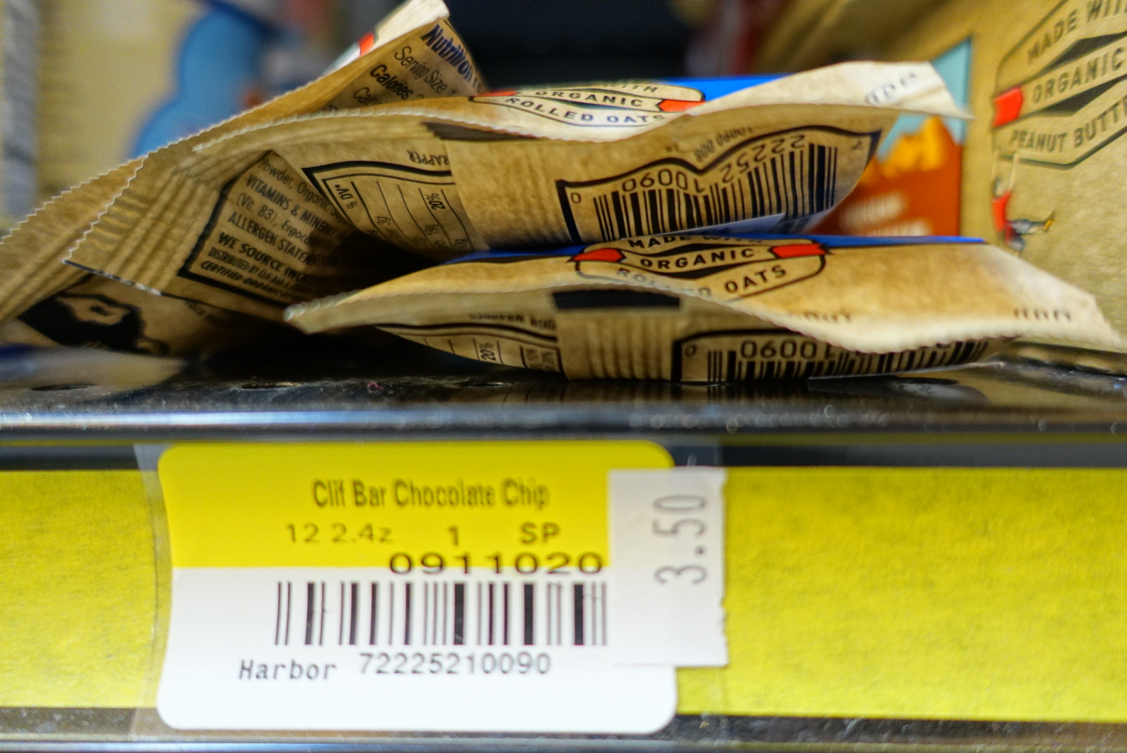
The campground store set a new record for Northern California Markup: Clif Bars were $3.50.

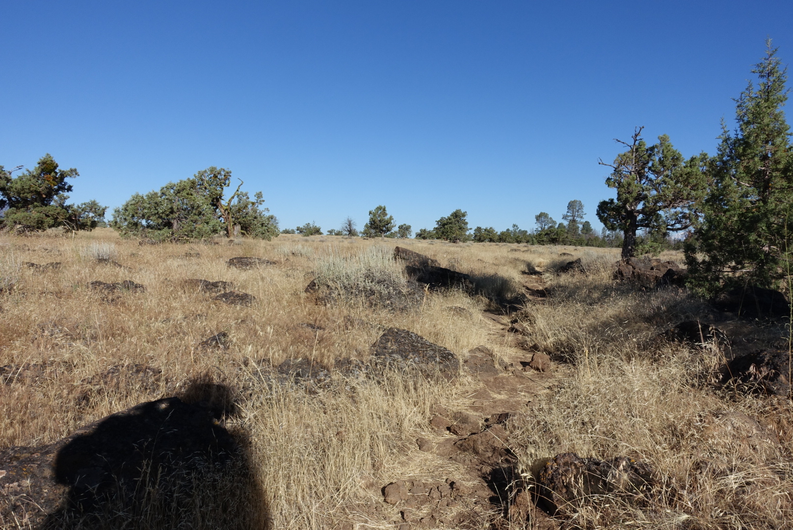
Elizabeth and I split up today, so we can take breaks and camp whenever and however-long we want. I found some maps in the hiker box that would cover all of the trail to Mt. Shasta, so I wasn’t going in blind without my sister’s phone. Except, they didn’t cover most of today, so I’d be starting out with no way to navigate. This was surprisingly difficult — I was used to checking my phone at each unclear junction, but now I had to pay attention to things like footprints, cairns, and where the other backpackers were going.

While doing the later, I met Mama Bear and Buddy, a thru-hiking mother and son duo, where the son was 9 years old. They were doing about 10 miles per day.

Buddy wasn’t liking the heat today so much — it was in the mid-90s — and he pointed out that on the aqueduct walk, a cloud had followed them across the desert. His mother was not liking the heat either, especially with a pack for two, and with the uphill we were climbing, and the fact that she’d started the climb with a beer in the park.
image
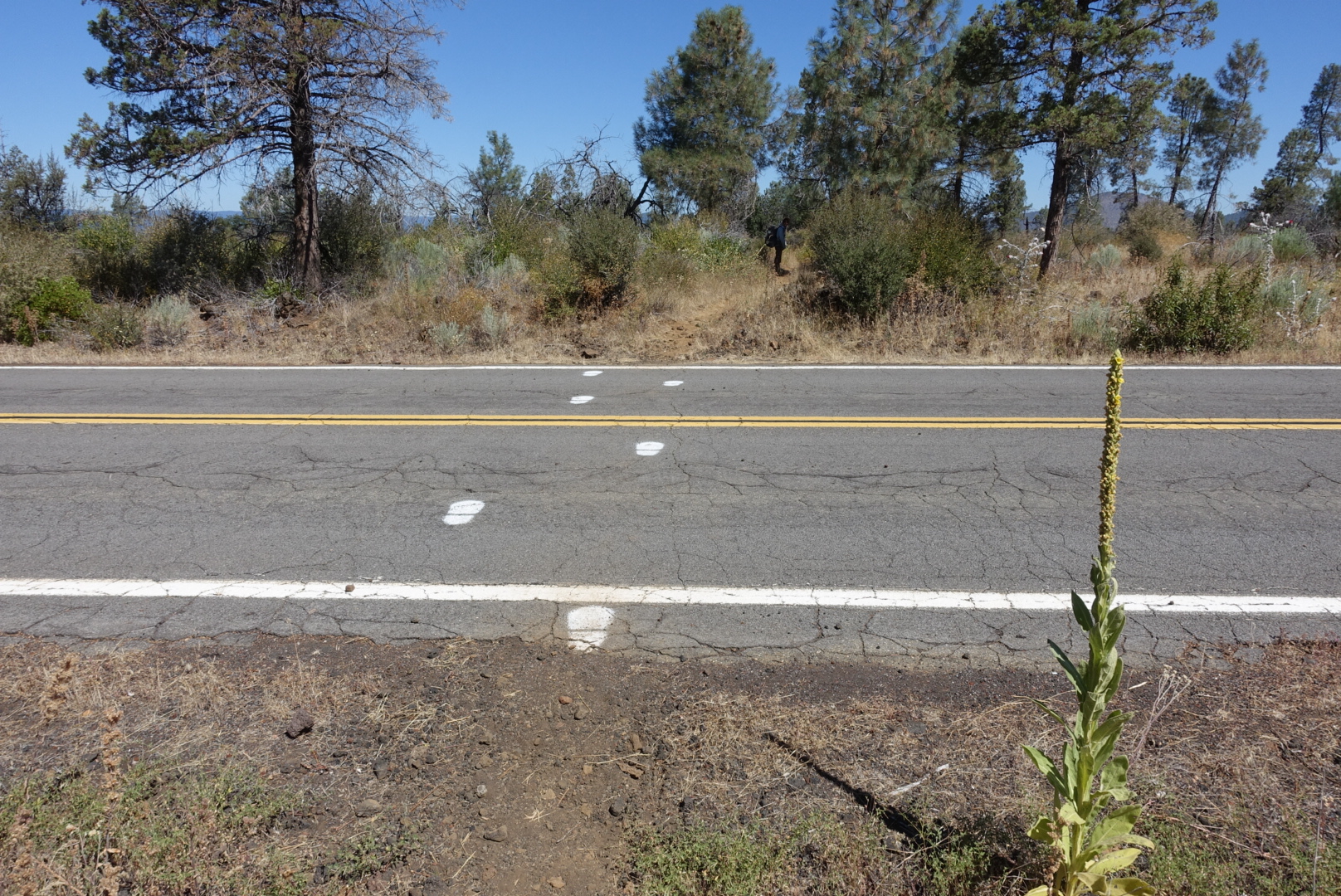
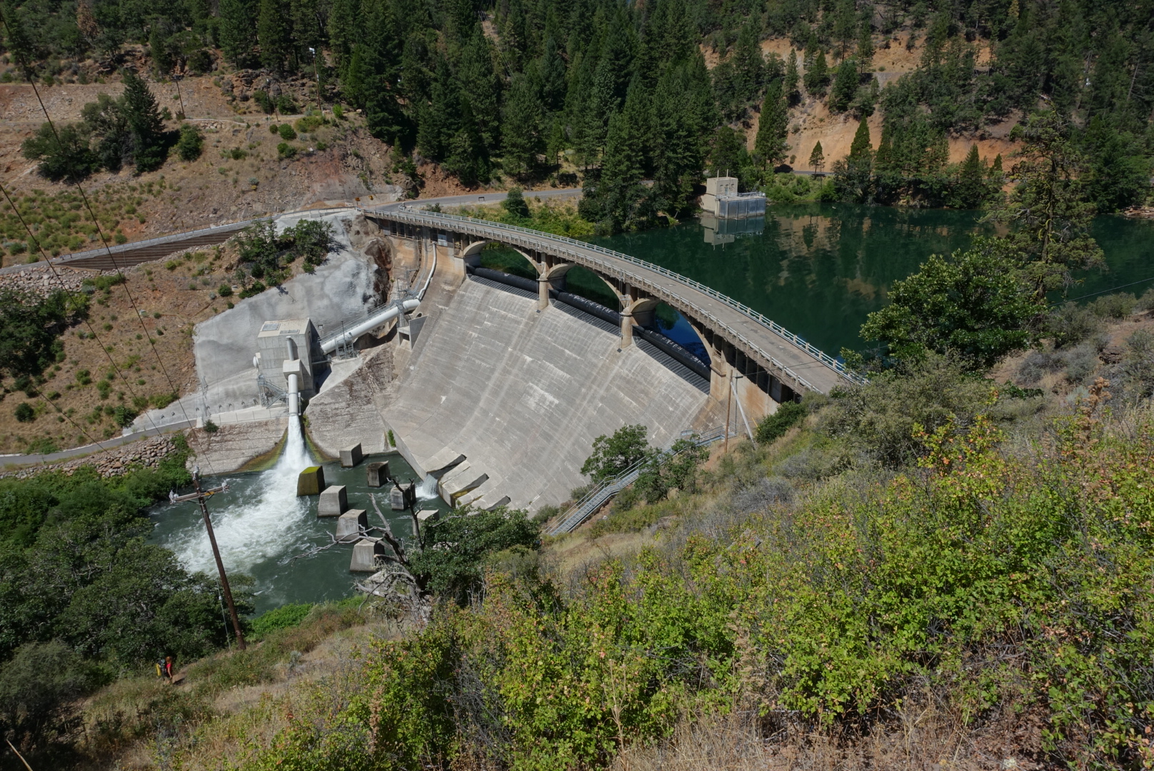
Finding the right way to cross the dam was surprisingly difficult

Without navigation or the water report, I didn’t know where the water was, so I filled up to 2 liters at every chance I got. This kept my pack heavy — and had me taking water from some terrible sources — but I never went thirsty.
image
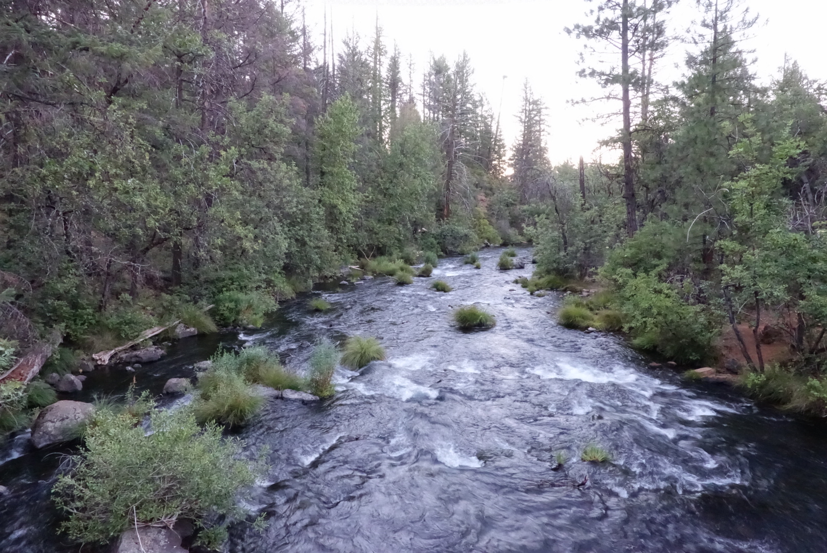
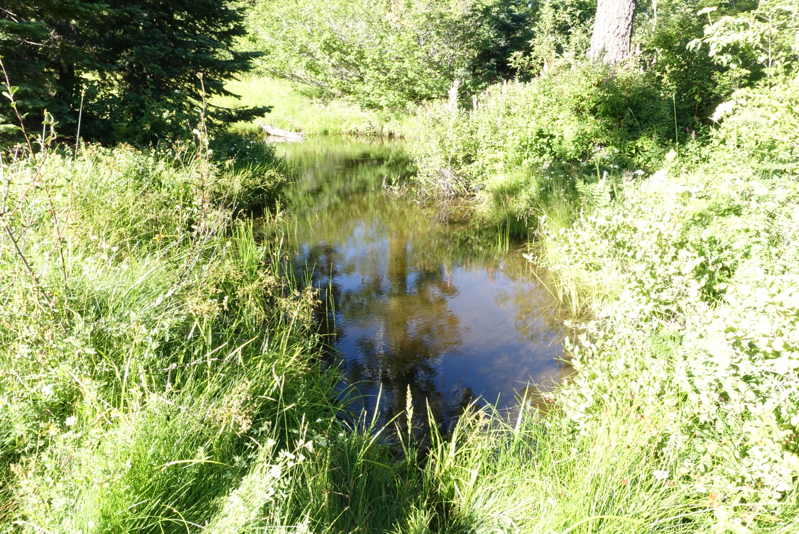
One of my water sources

image

image
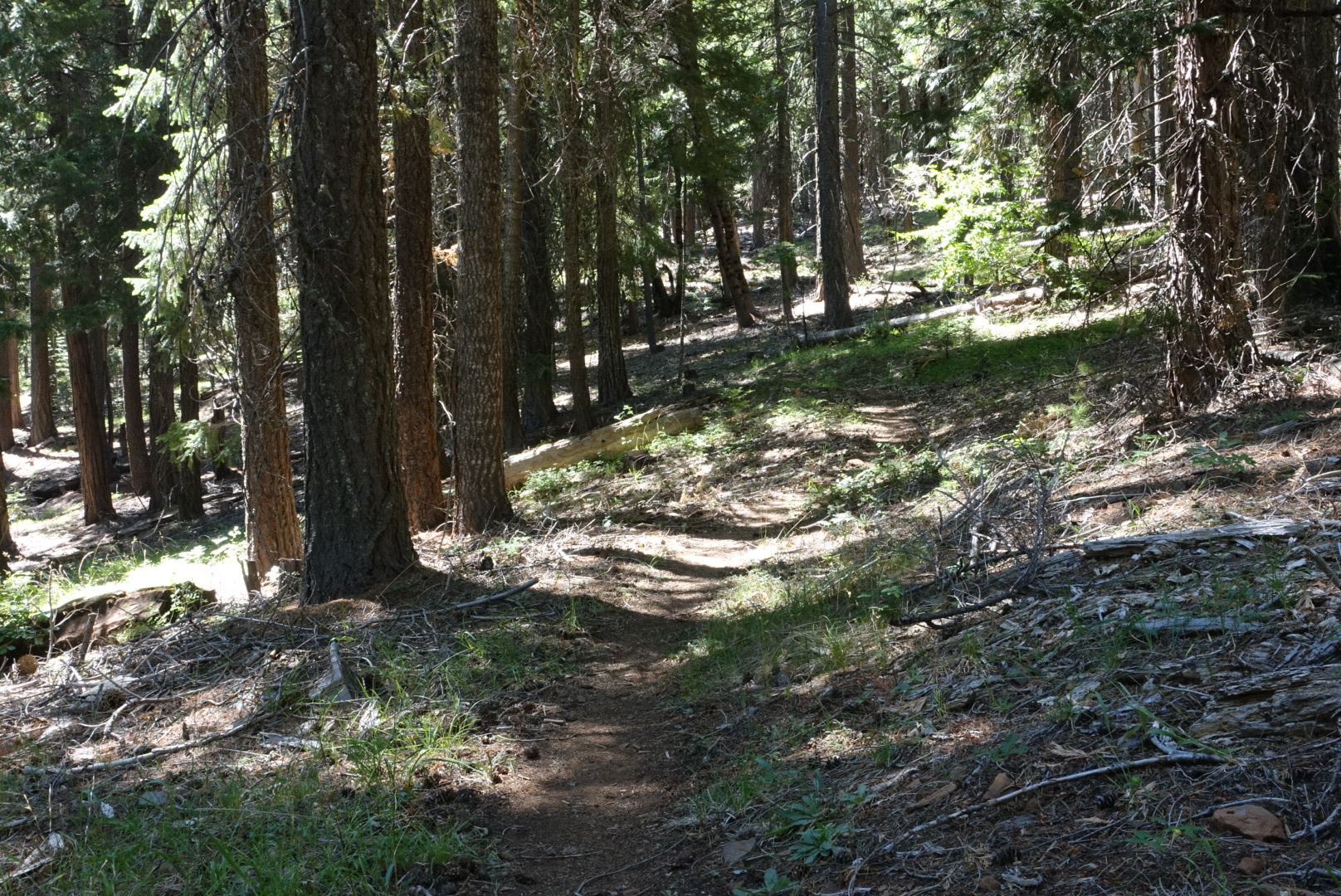
There were trees here
image
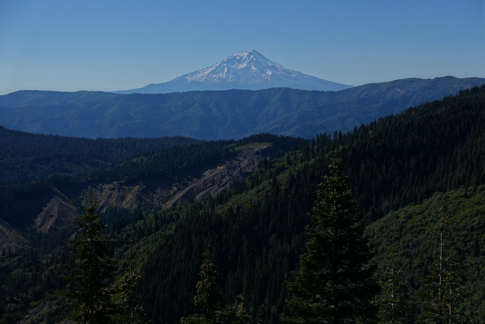
There were mountains, too
image
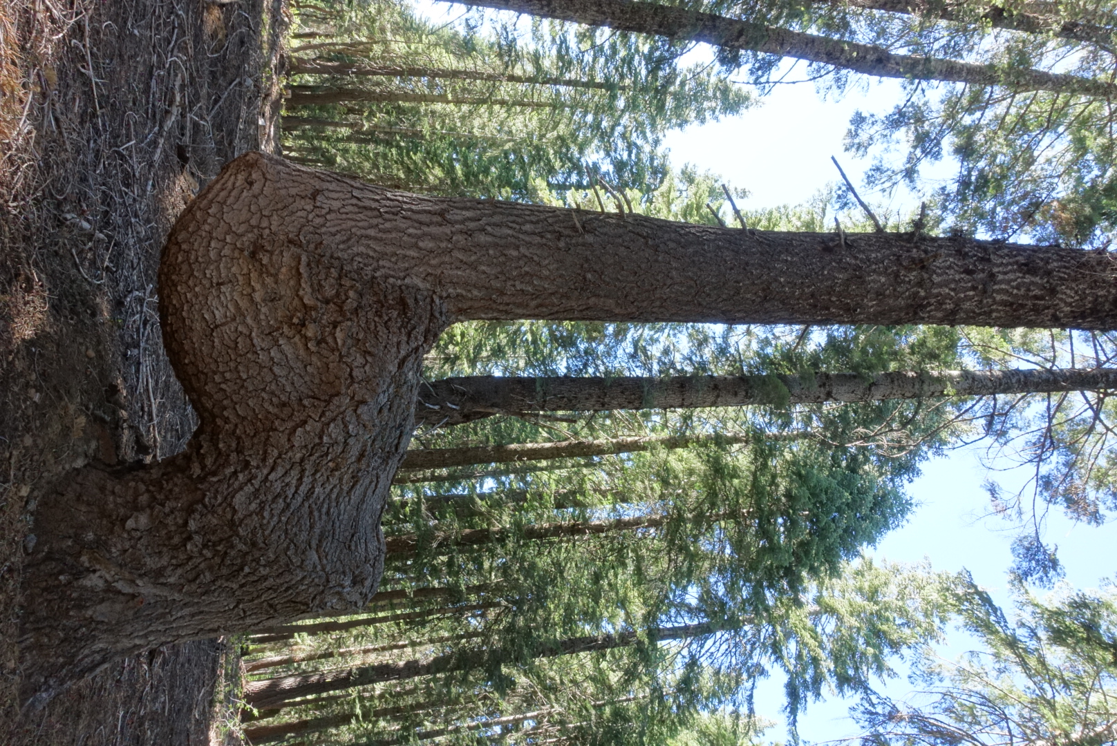
A common deformation in the trees around here

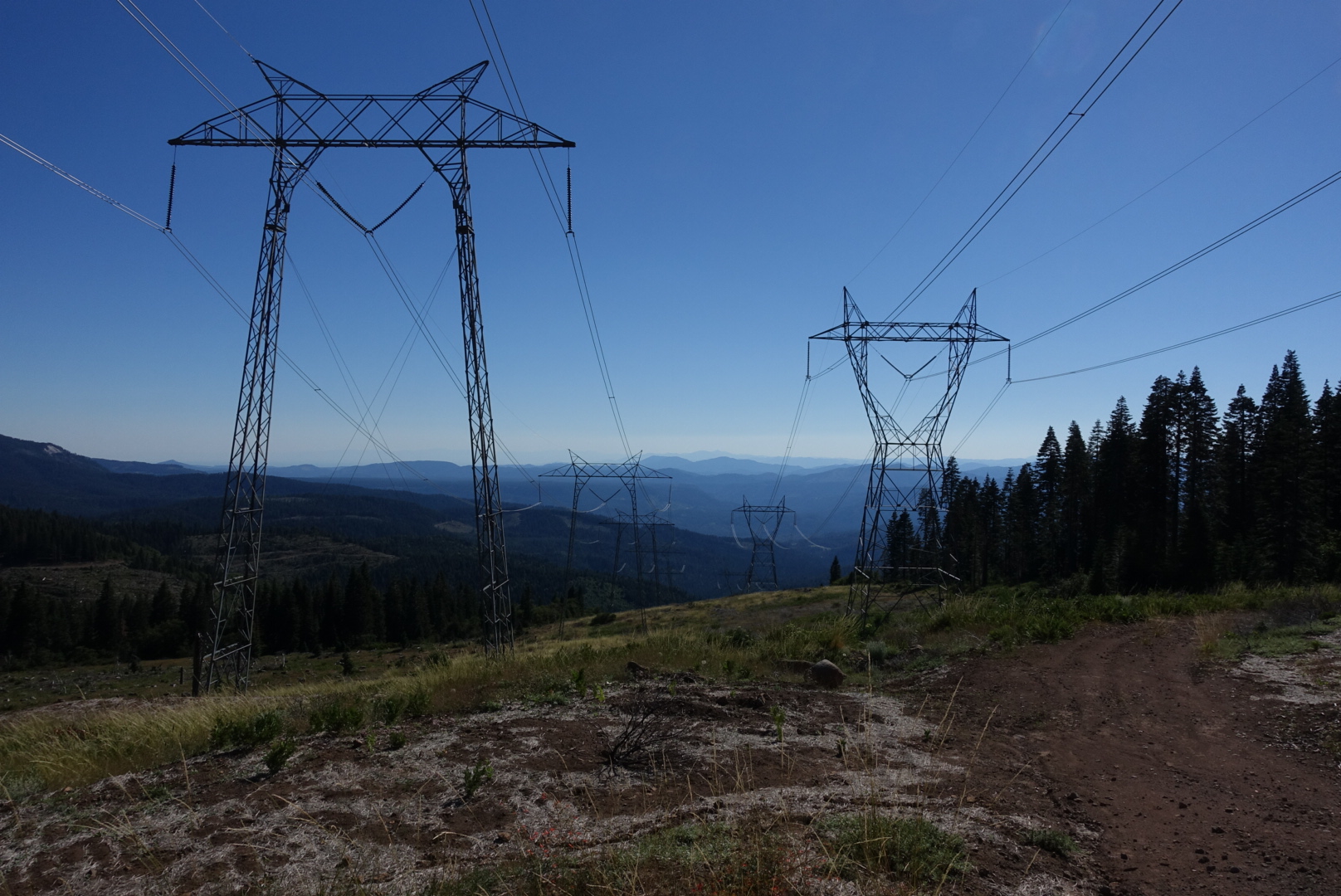
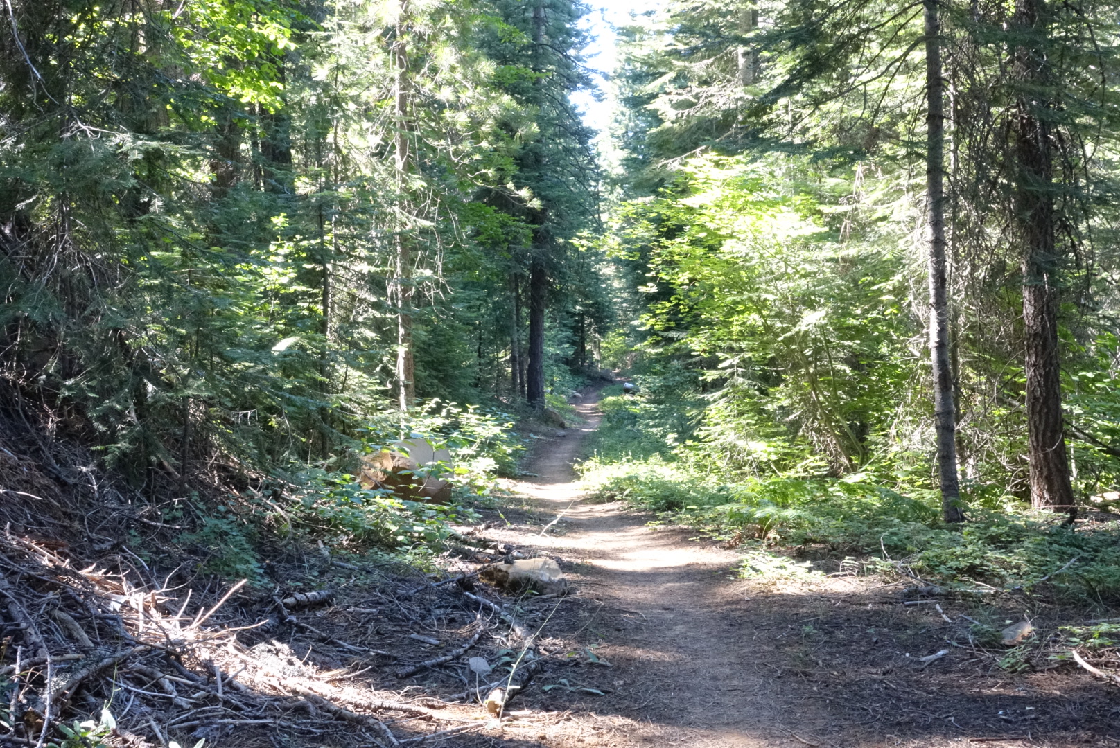
The forest was like the rest of Northern California, except as I progressed, the ground got lusher and lusher. It still had the standard Northern California signs of industrial use of the forest.
image
High-tension towers looked like space invaders blasting away the trees around them on their way down to the valley

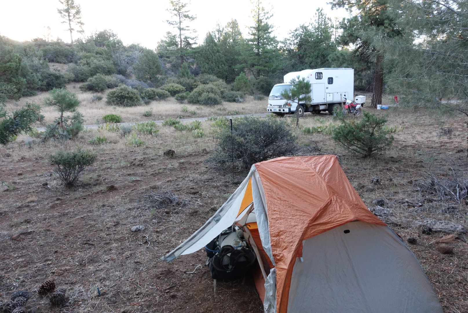
By the end of the day, I’d covered a decent number of miles despite the late start, and camped at Kosk Spring. With Elizabeth, it turned out.
Cache 22 to Burney Falls Hike and Bike Campground – 7-23

Early morning light and warmth got me out of bed earlier than usual. After a sleepy goodbye to Coppertone, we were on the trail again.

image
My tent (foreground). Coppertone's tent (background).

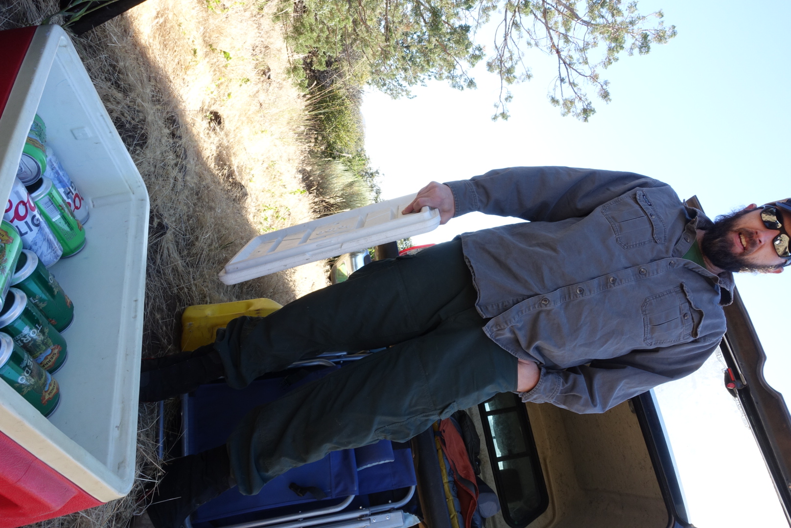
For about 5 minutes. Then, we met two men who had set up their trucks so they could give out beer to PCT hikers. The first said all he had was “bad American beer”, and that his friend in the other truck worked for Sierra Nevada in Chico and had much better beer. We had a chat with his friend, and learned that Sierra Pale Ale has about 150 calories, and that Torpedo has about 220, due to its 40% higher mash bill. In a few minutes, we thanked them and moved on.

image
Sierra Pale Ale, Sierra Torpedo, and... Coors Light for some reason

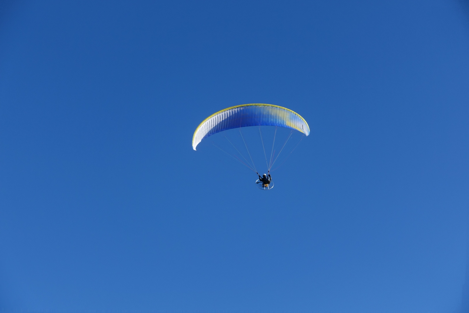
Above us, the parachutists had returned. Coppertone had said there was a launching area nearby.

image

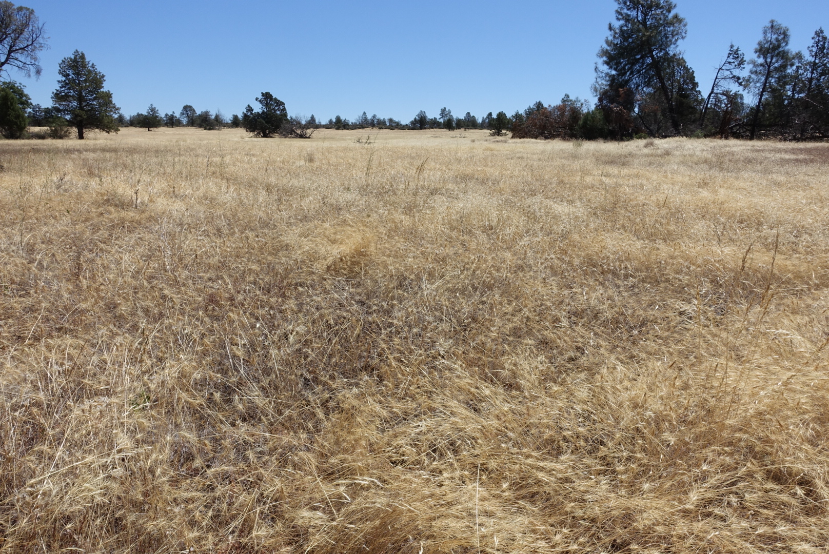
The trail gave us more clear panoramas of both Lassen and Shasta, and paths through big dry meadows.

image

image
Both Laasen and Shasta in one panorama

image

image
Big fields on the Hat Creek Rim
image
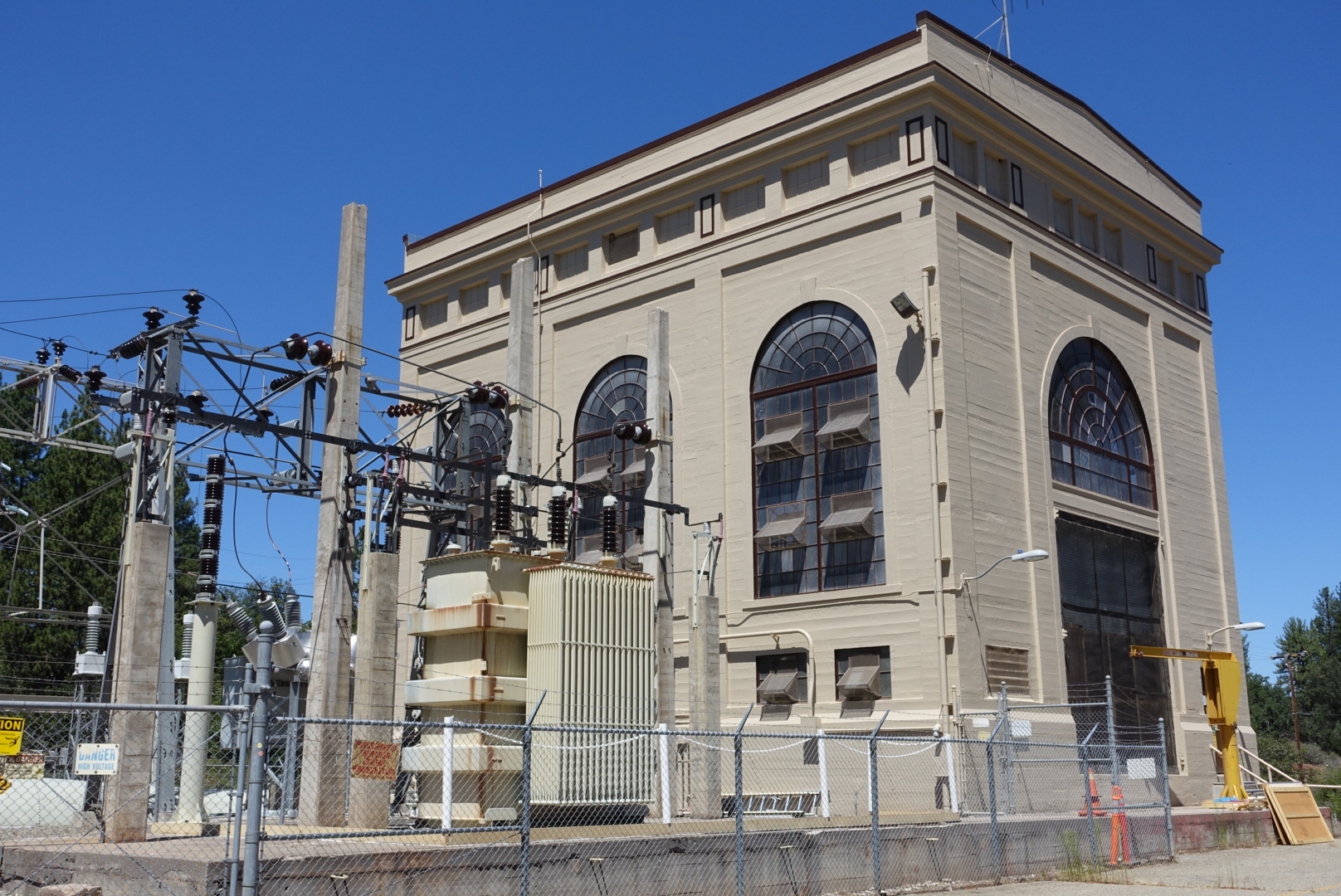
A utility building with oddly nice architecture

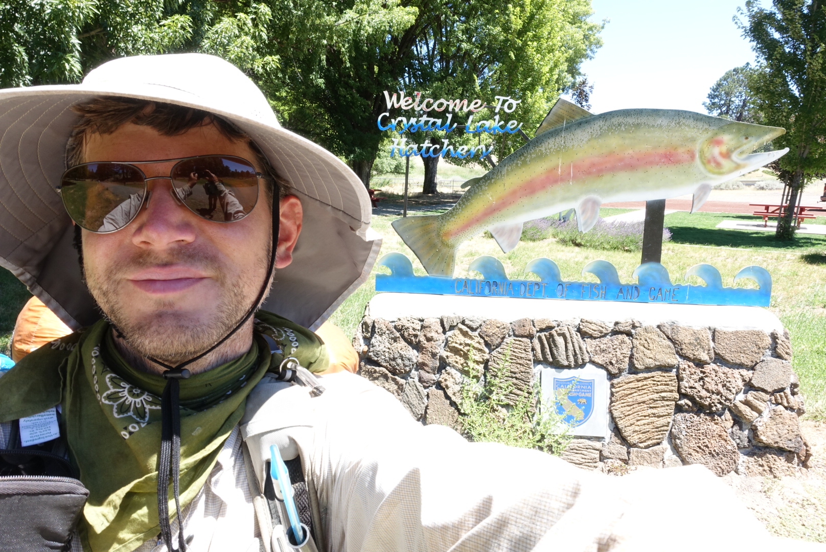
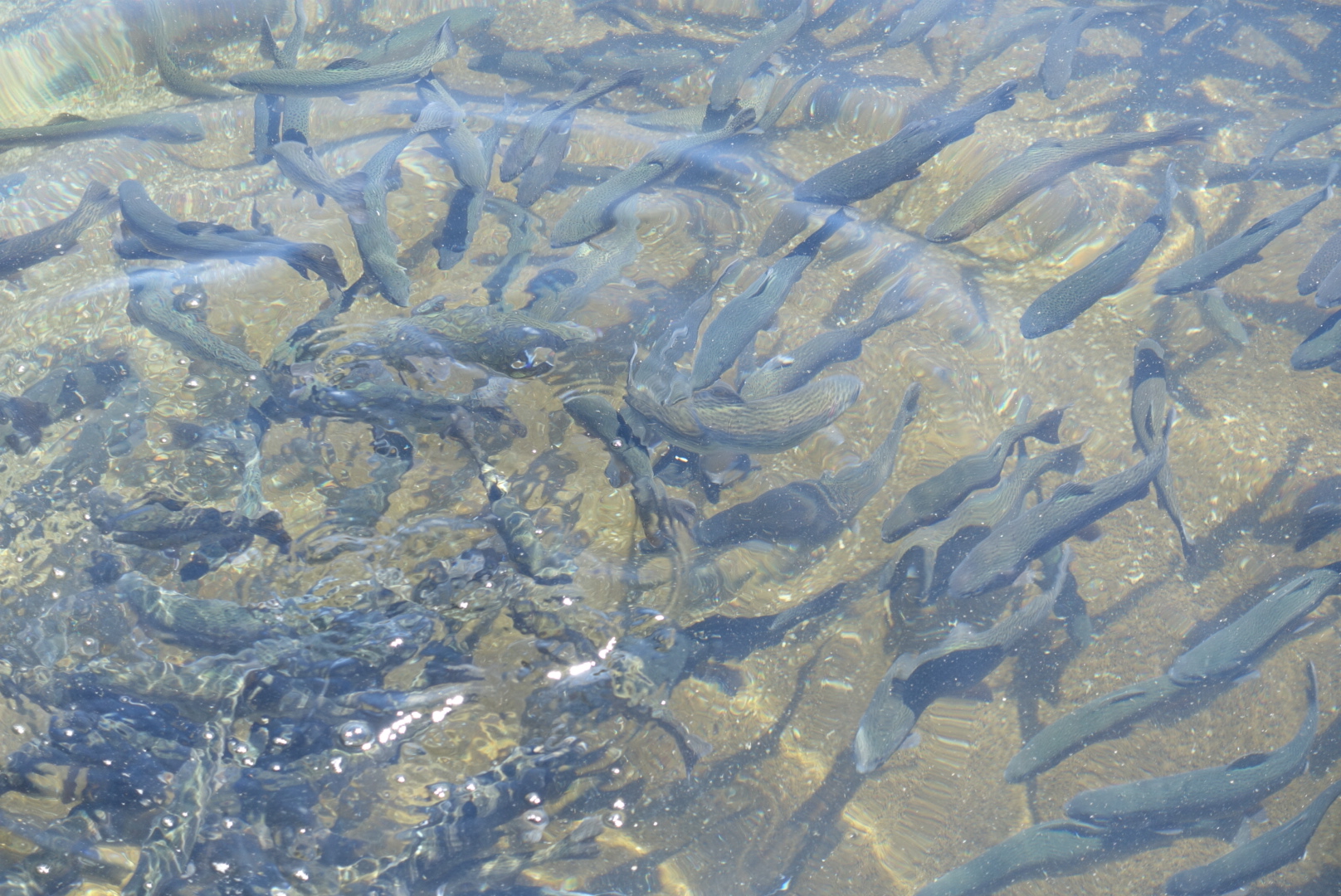
After many miles of this, we wound our way down a hill to a PG&E plant, associated with a lake, associated with a fish hatchery.

image
The hatchery sign, with me
image
The fish
image
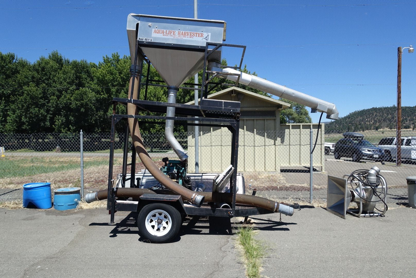
A fish collector
image
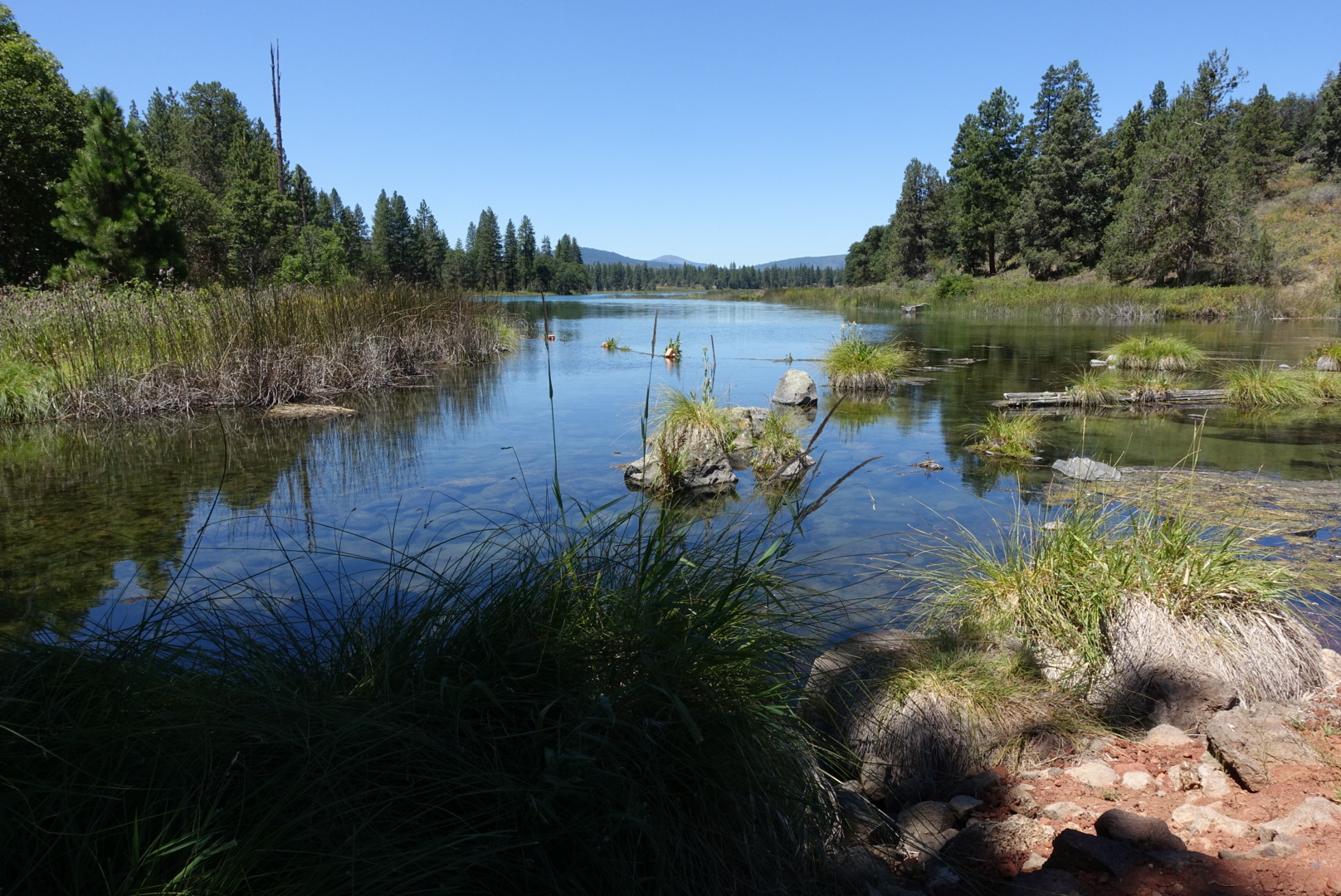
Lake Baum, nearby

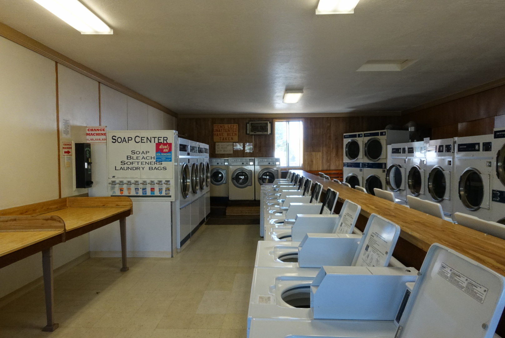
Several miles and one hitch more, we were in Burney for resupply, lunch, and laundry. On the whole, the town seemed full of people who really liked hikers. But, it’s hard to recommend, because it’s quite spread out, and several people recommended against us leaving our packs outside stores. (And, there was a hand-made wooden sign in the laundromat that said your unattended clothes were stolen).

image

Leaving the laundromat, I was a bit slower than Elizabeth. “I’ll be ten seconds!” I said. A woman in the laundromat gave me advice: “You’d better hurry, 10 seconds is a short time,” she said.

“She’s probably timing me,” I said.
“You sure know women,” she said.

We shopped for our resupply in Rite Aid (with our packs on), but it resulted in a grim long-term commitment to Top Ramen, peanut butter, and granola.

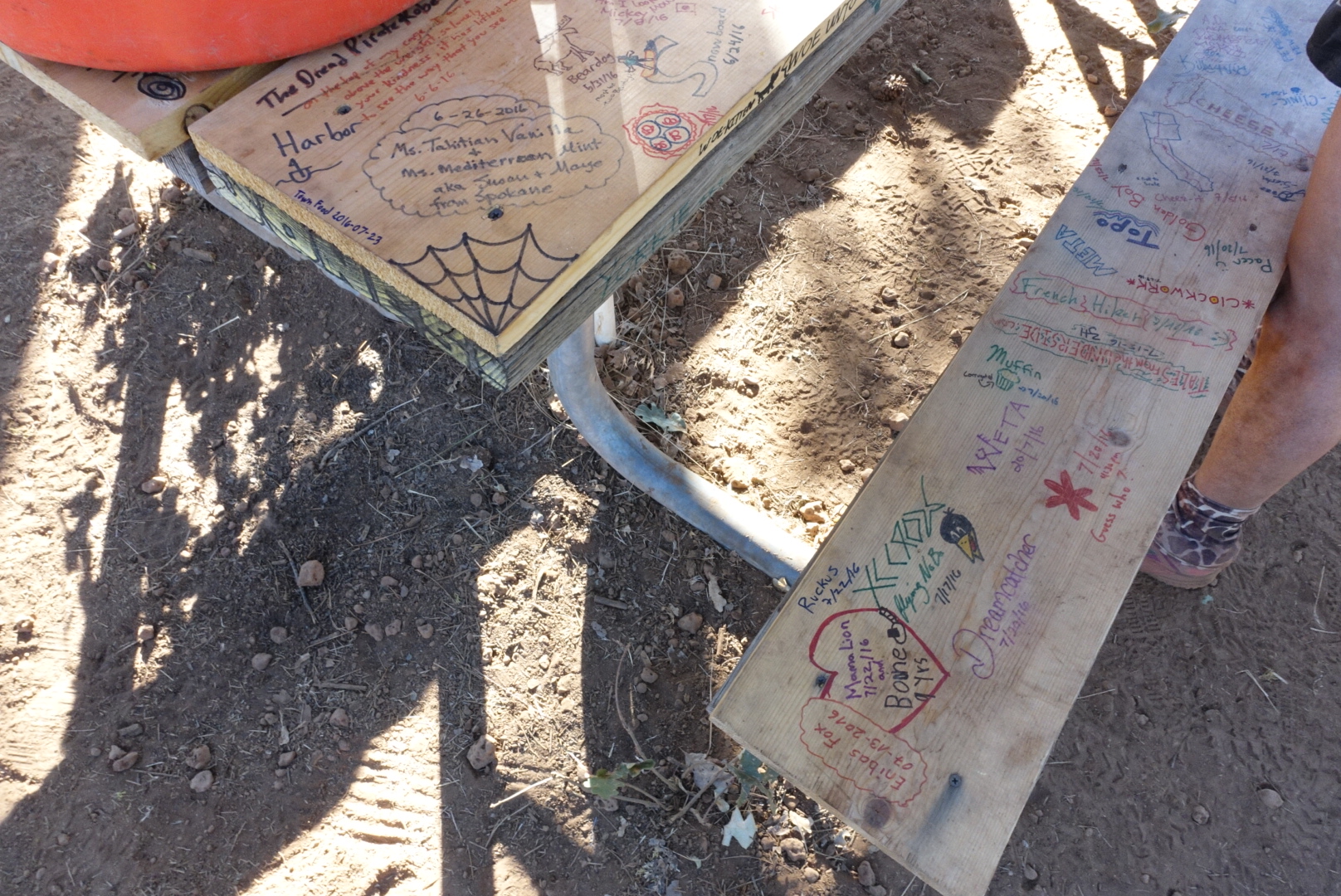
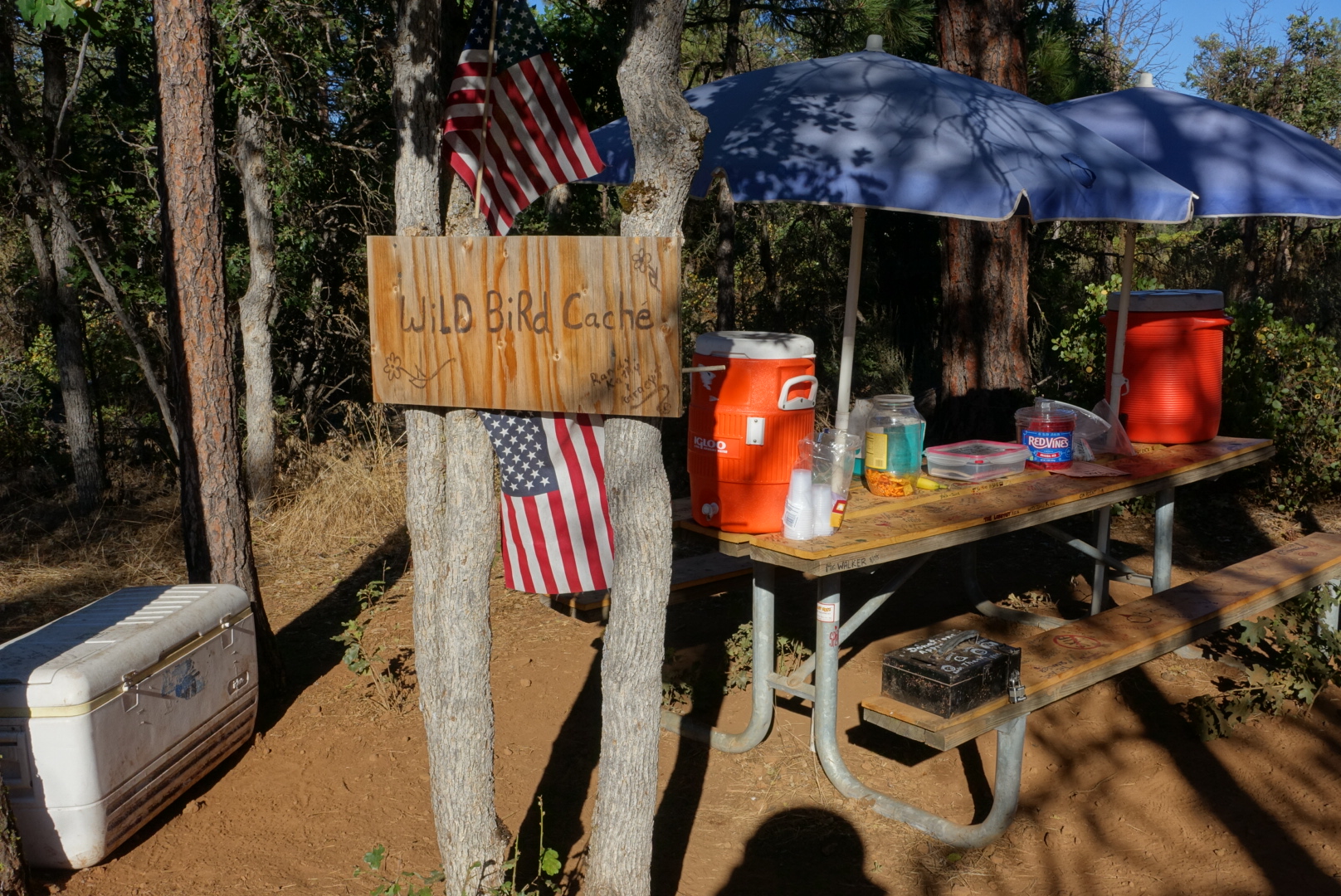
A hitch later, and we were back on the trail. Just after the road, there was a spot labeled “Wild Bird Cache”, that was some excellent, well-designed trail magic. It had a table to sign or carve, soda, snacks, water, and a register that required everyone to write a joke.

image
Note my signature

image

image
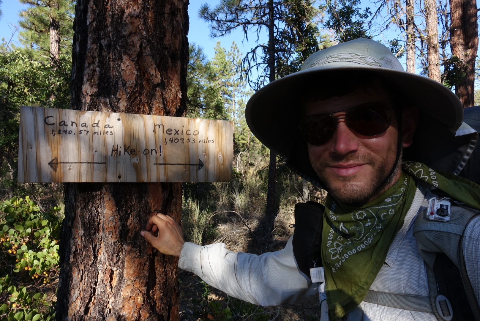
A helpful sign from the trail angels
image
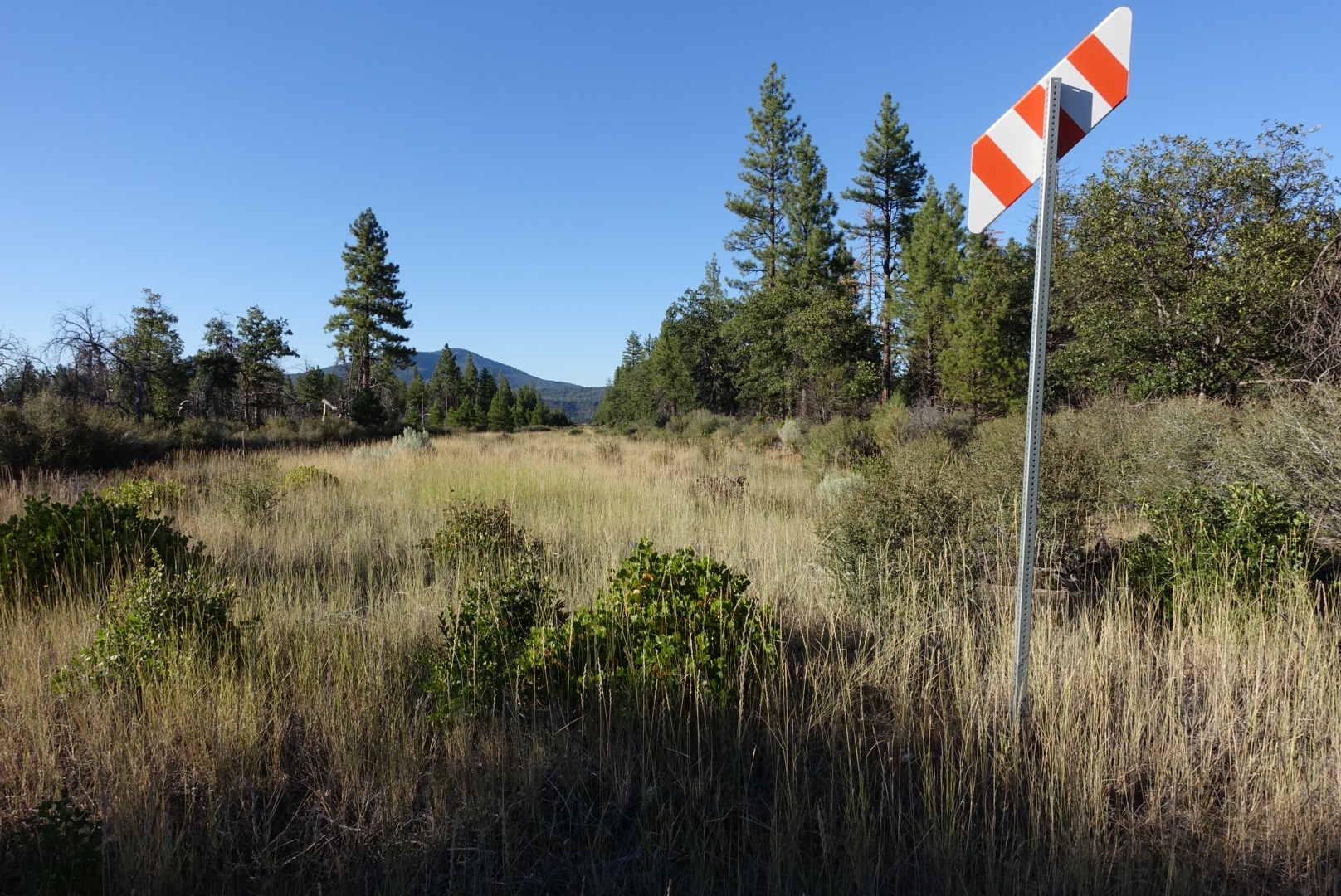
Mysterious railroad crossing sign with no railroad

Moving on from Burney, our next stop was Burney Falls State Park, about 8 miles north. By now it was getting late, so after we had paid for the site, I just did my routine, and didn’t see the park.

I still ended up eating in the dark.

image