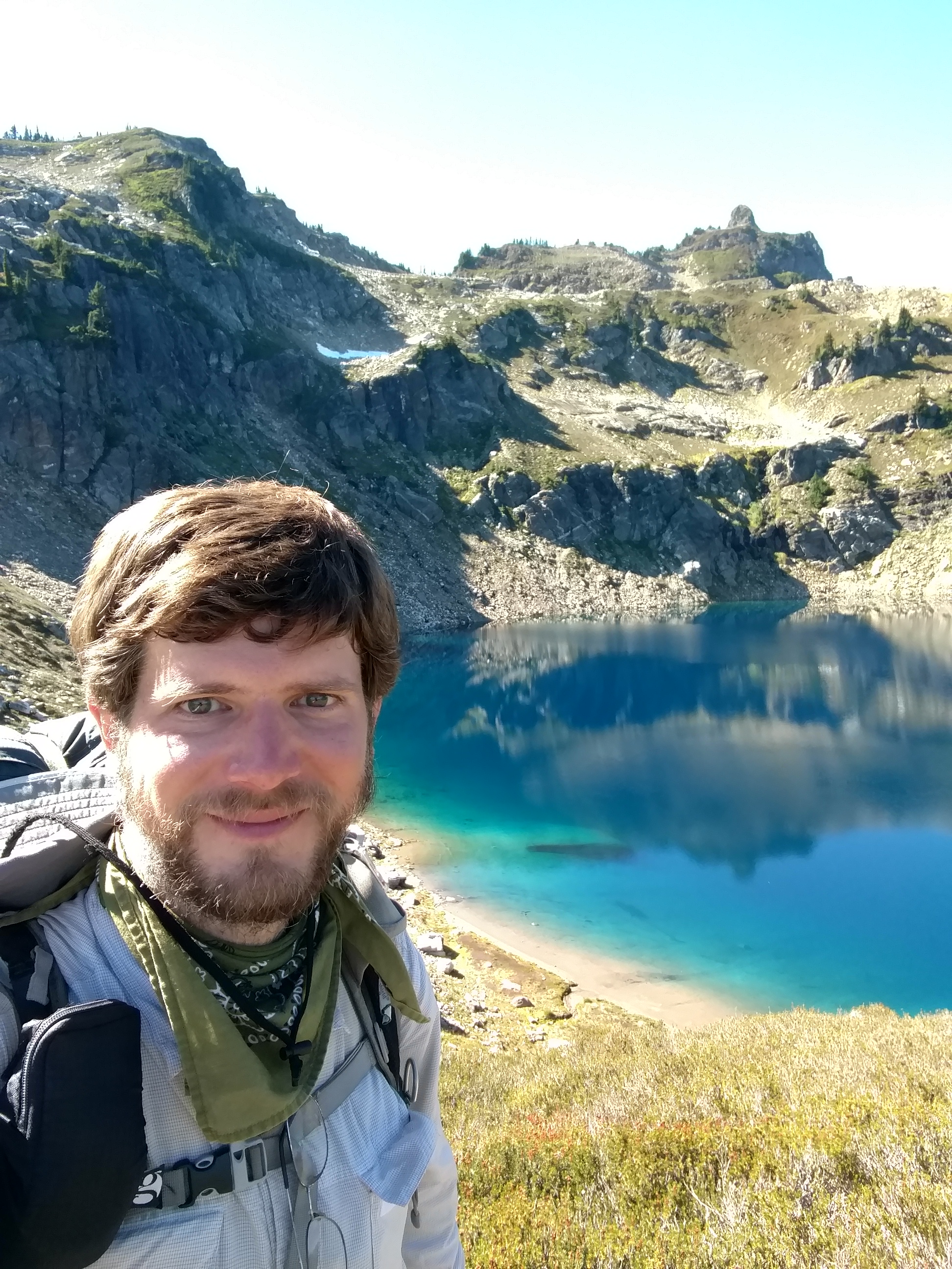
I was exhausted after yesterday, and slept late. Even the commotion of the many other hikers leaving camp didn’t wake me up.
When I was finally out of my tent, the morning was warm, and the sky was solid blue.
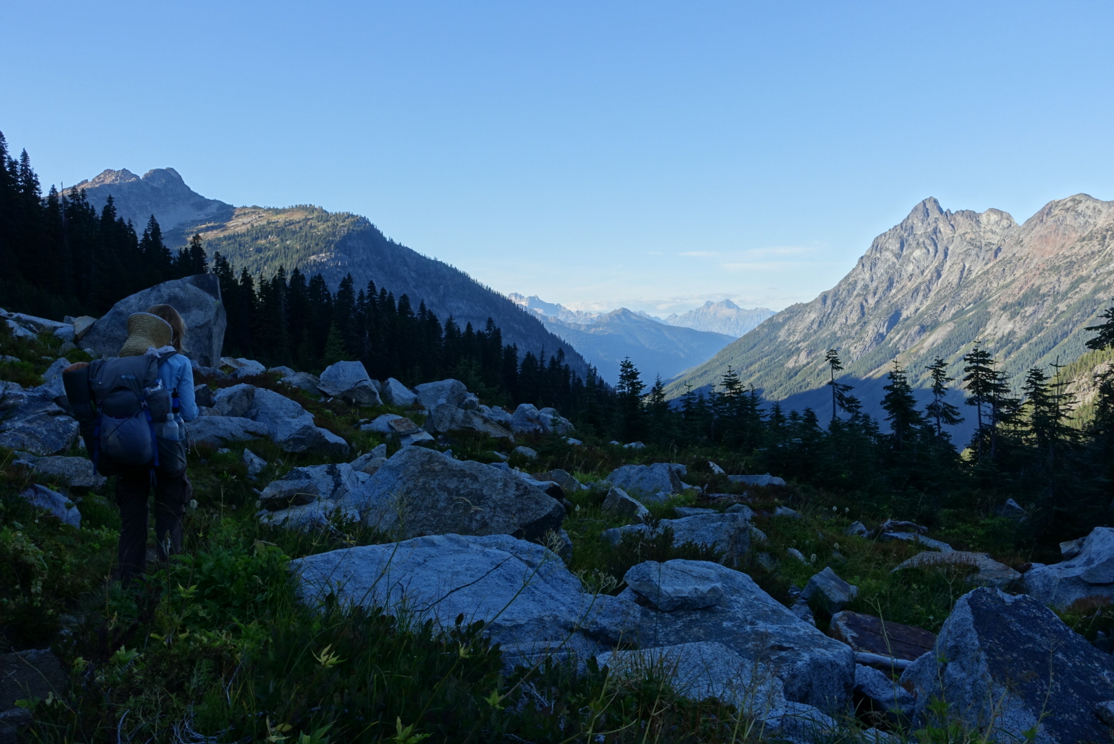
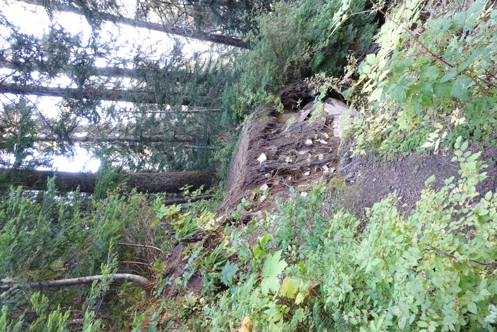
Today’s hike began with a long descent, down one of “The Octopus’s” tentacles, where the Suiattle River ran along the valley floor.
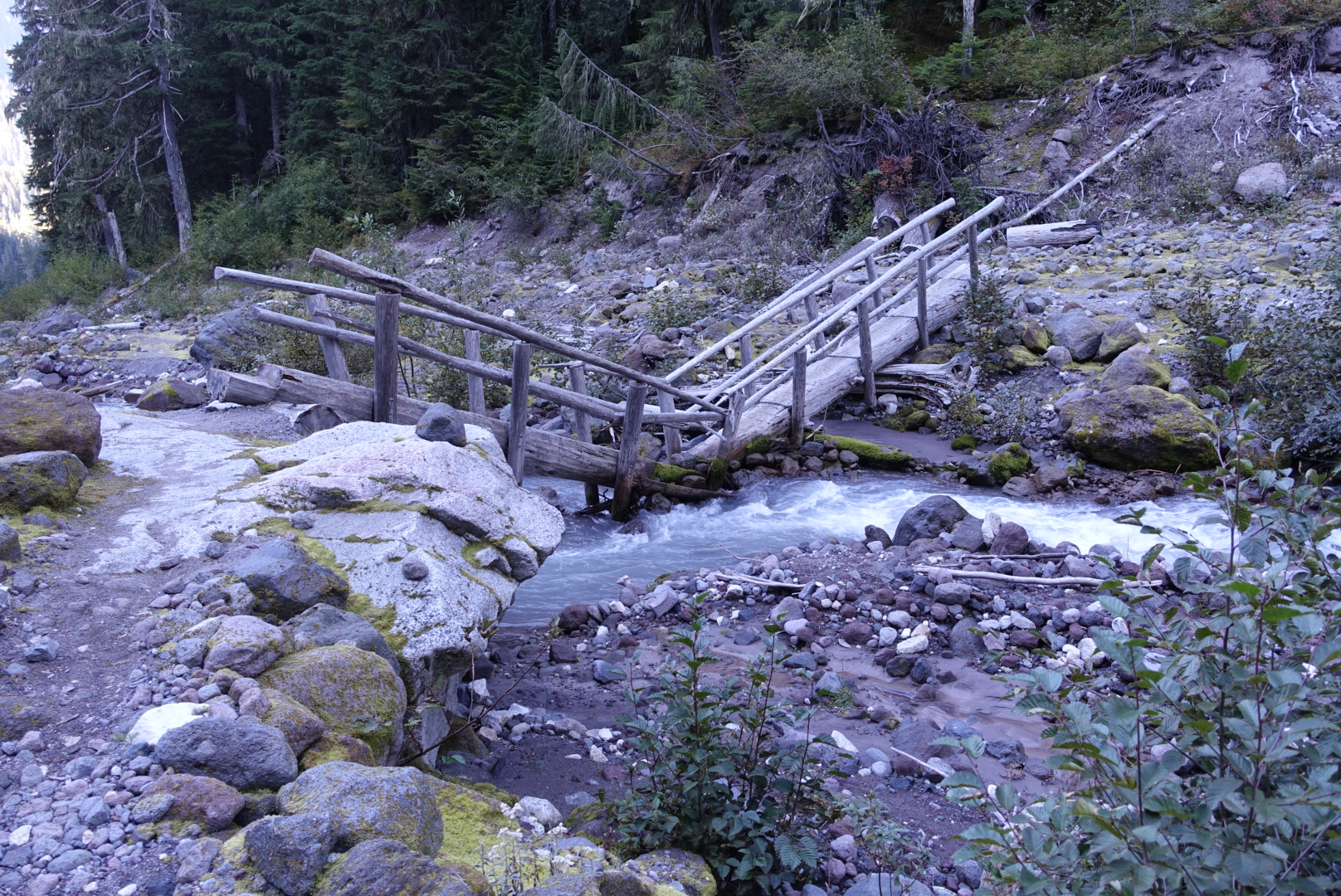
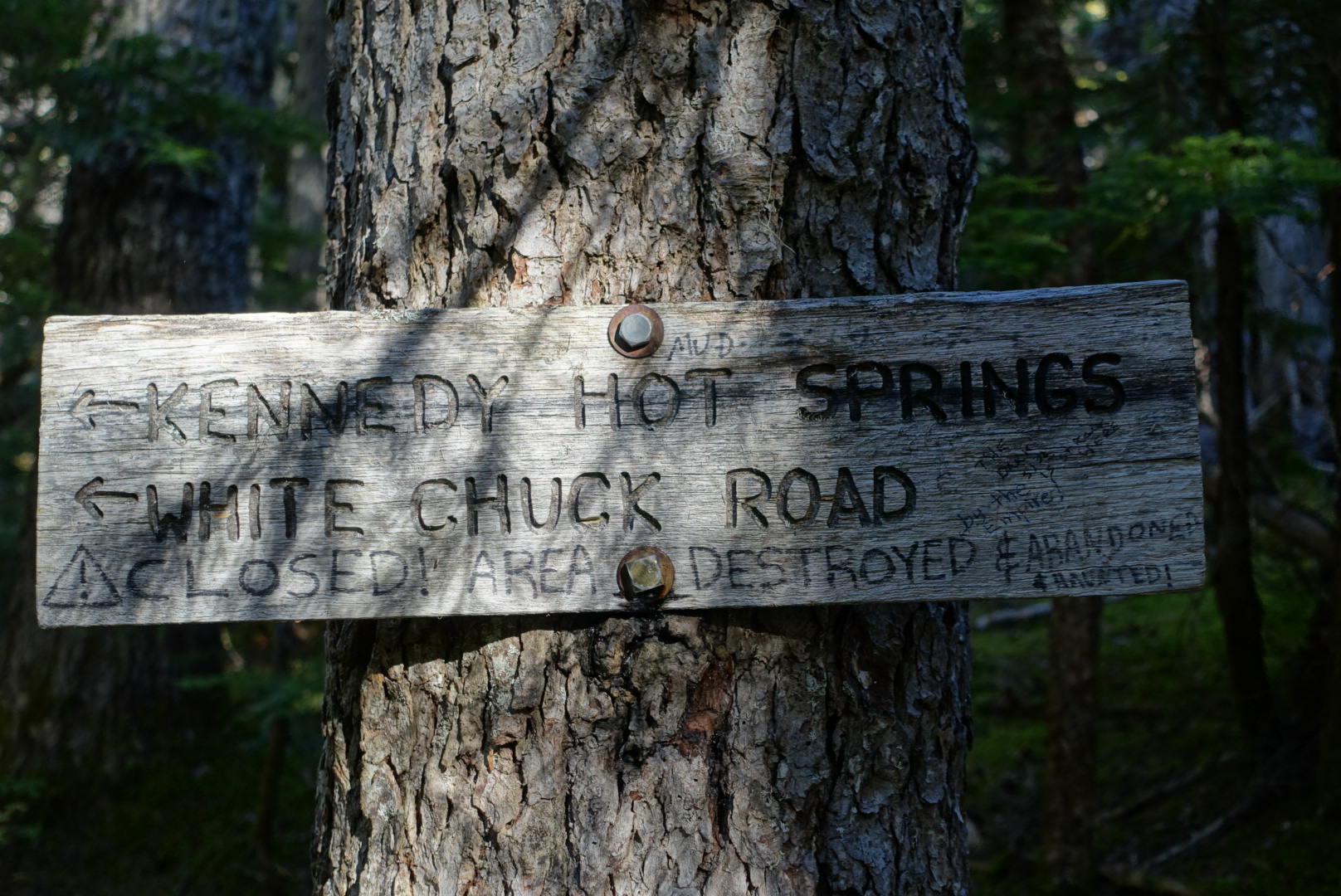
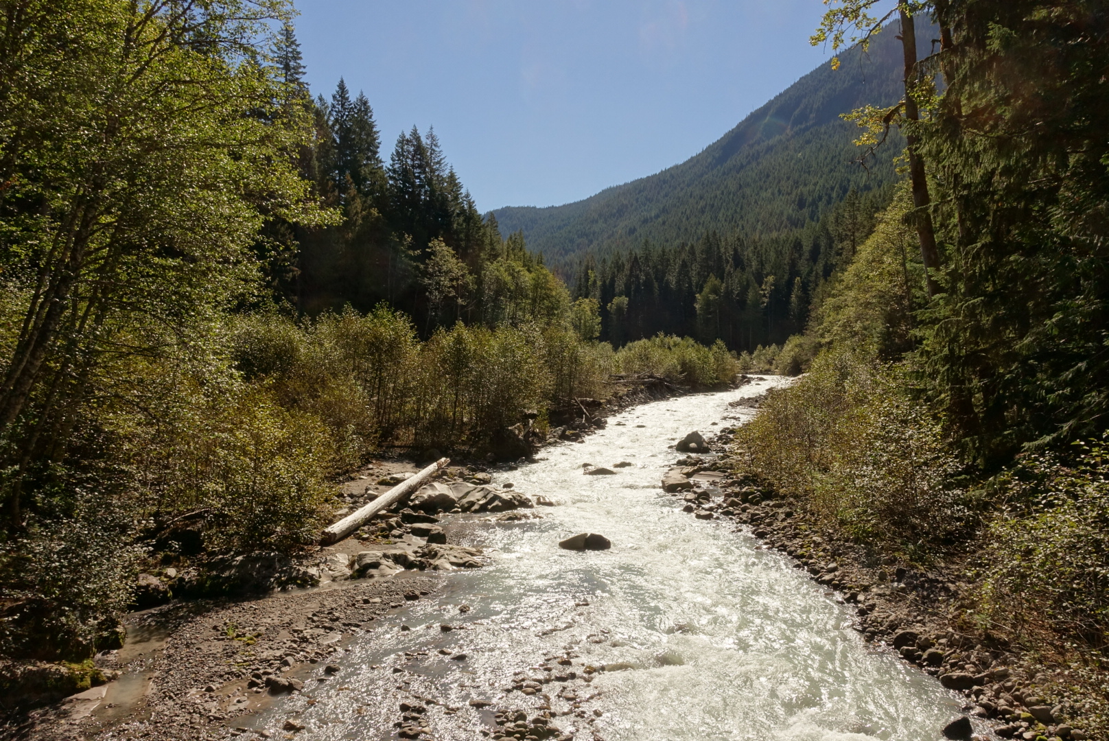
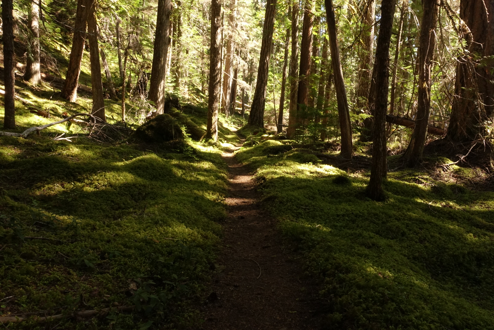
The PCT used to cross right there, but the bridge washed out in 2003, so the current PCT takes a 6 mile detour downstream. The trail here was flat, gentle, and mossy, though, so we took the modern route rather than trying to ford the Suiattle. The modern bridge gave us a view which, while pretty, convinced us we’d made the right decision.
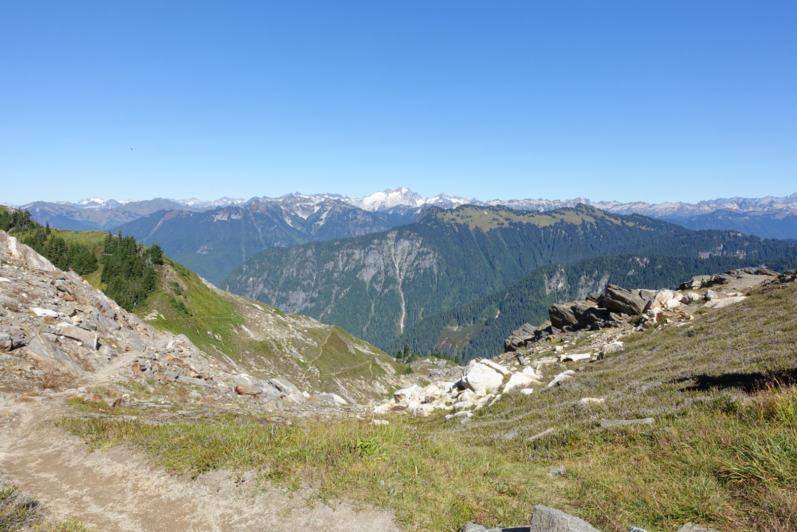
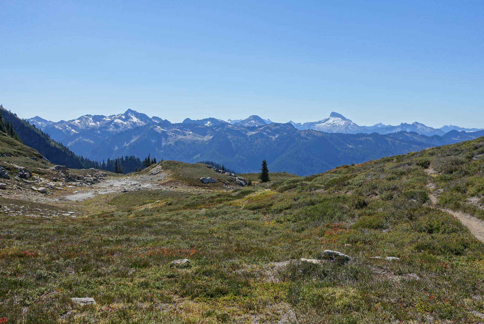
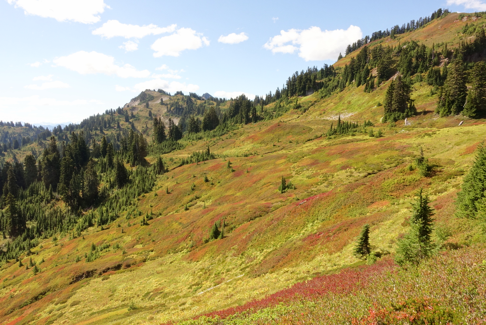
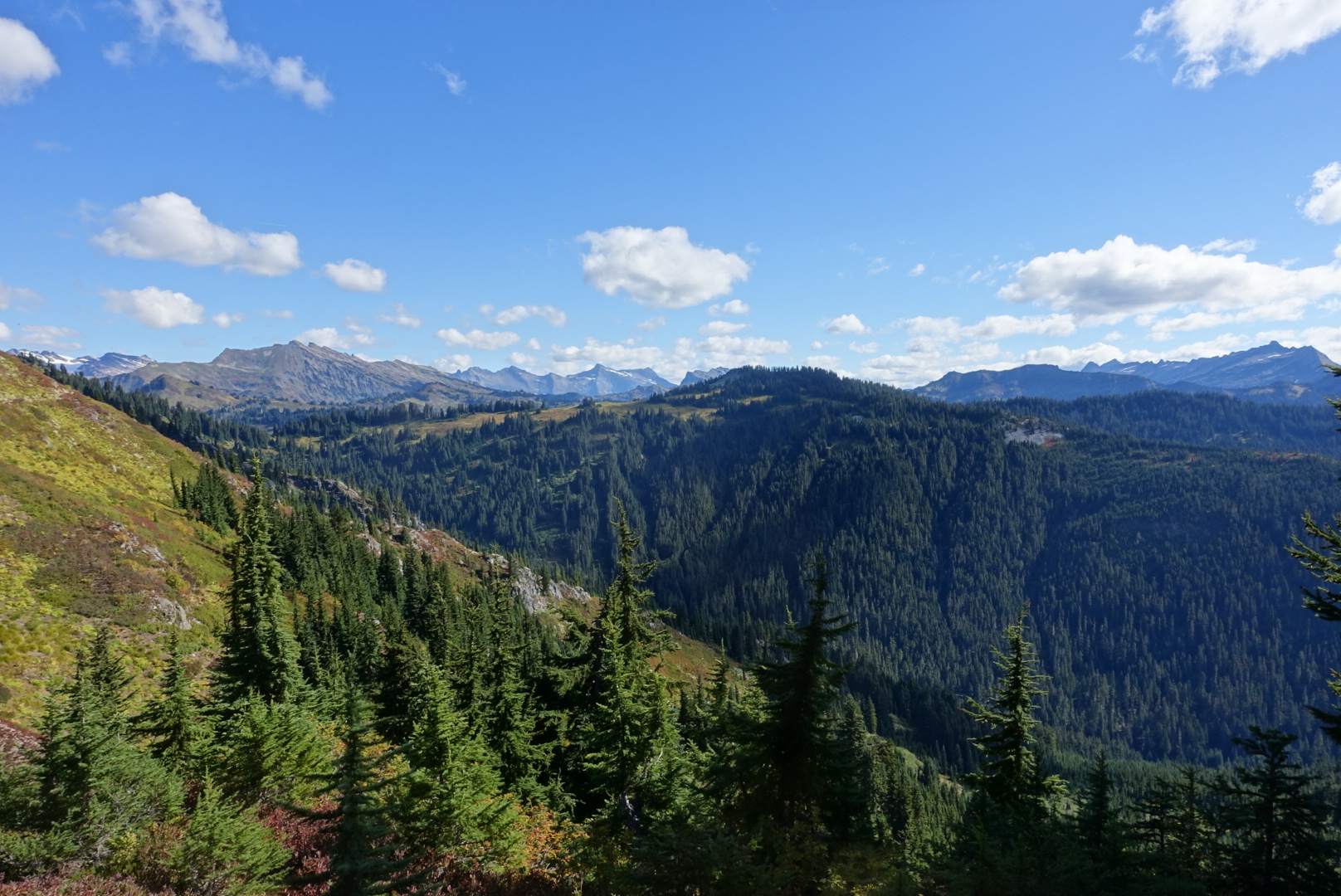
After we rejoined the PCT, the trail gave us a few vistas.
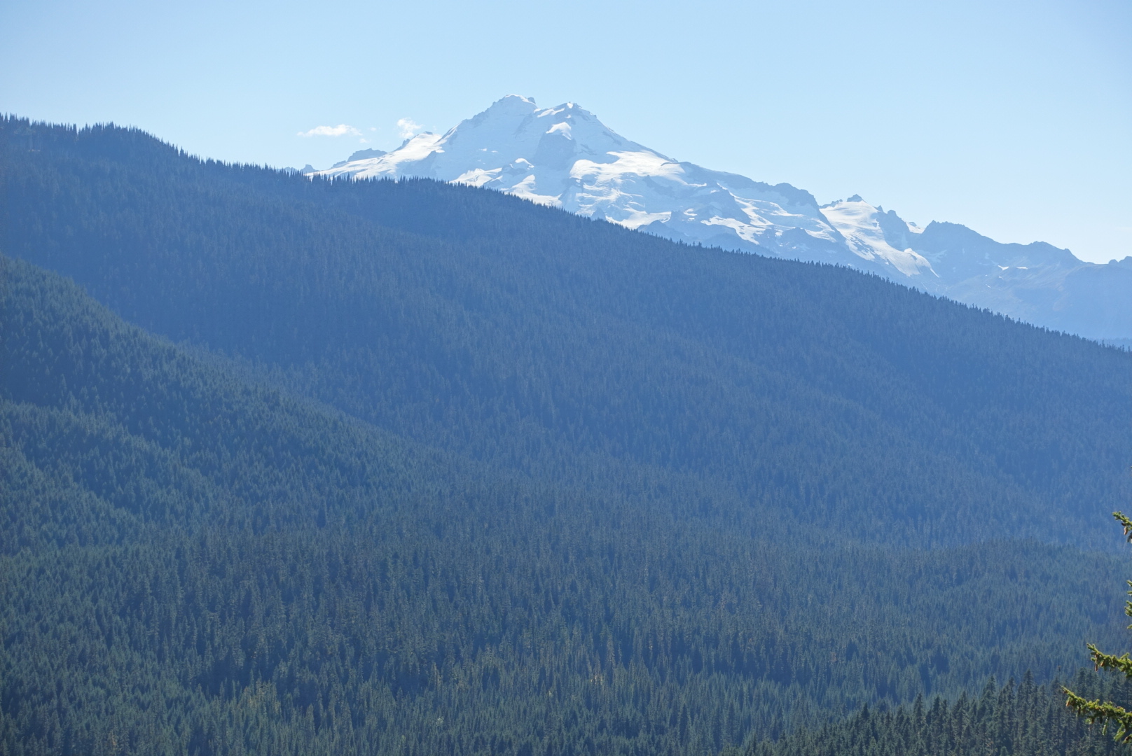
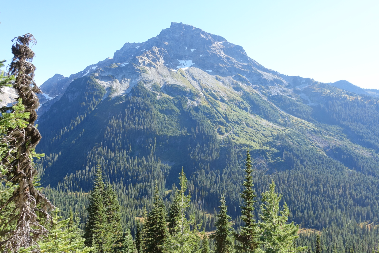
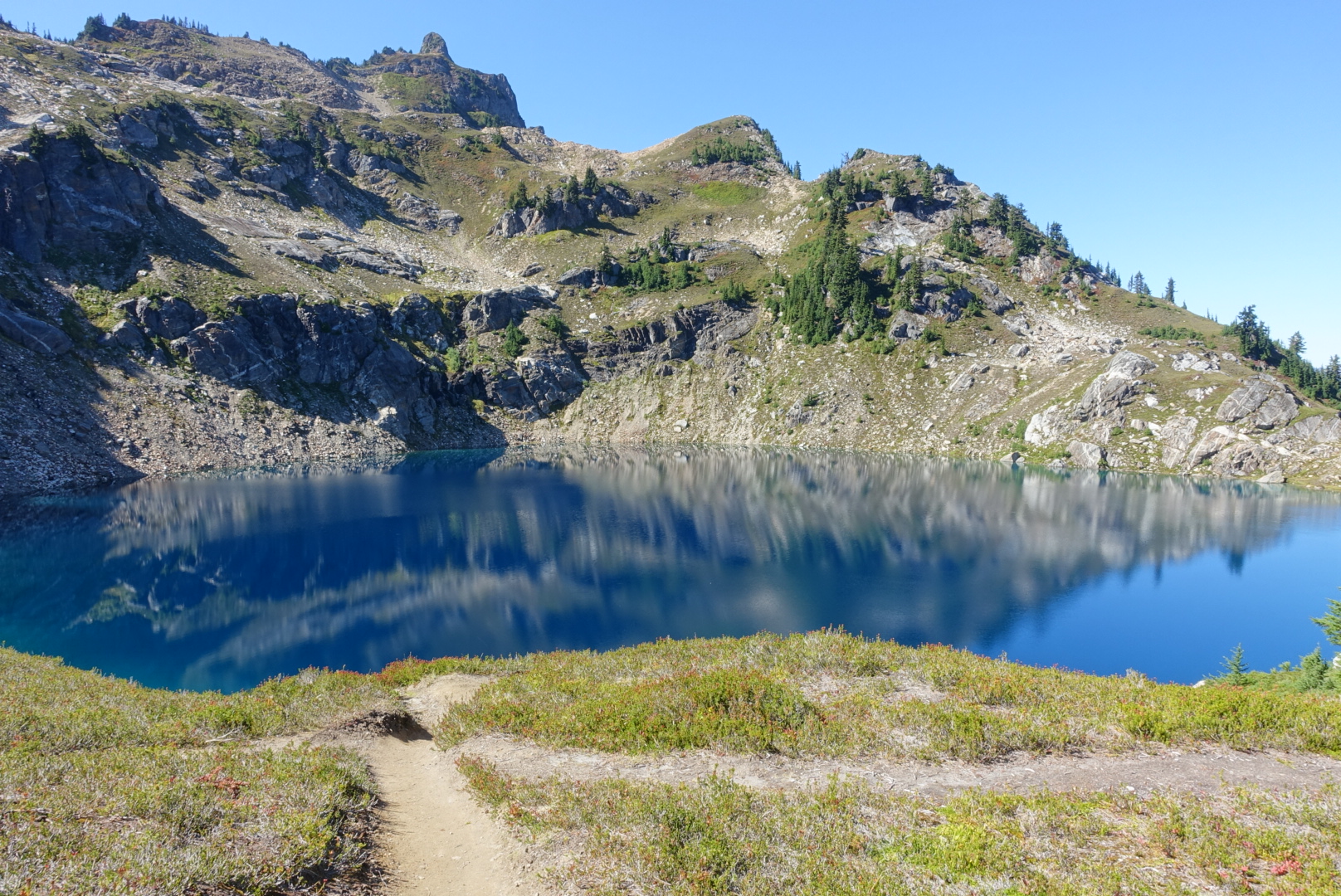
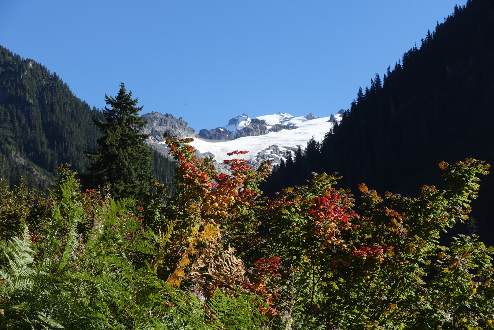
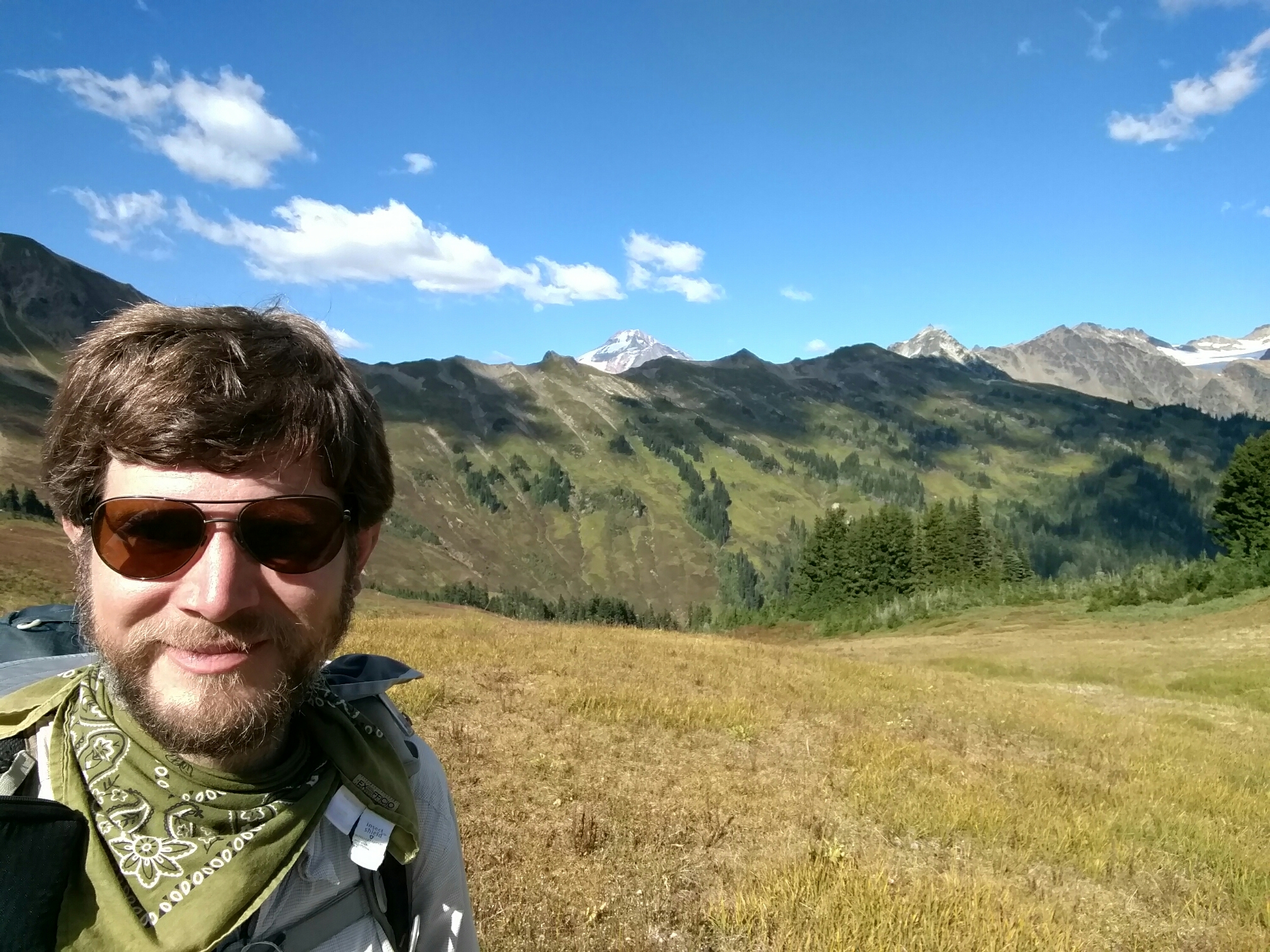
After a hefty — but not quite exhausting — uphill (“only” about 5500 feet of elevation gained), we slowly walked into a valley, and had many views of the peaks to the Northeast of the trail.
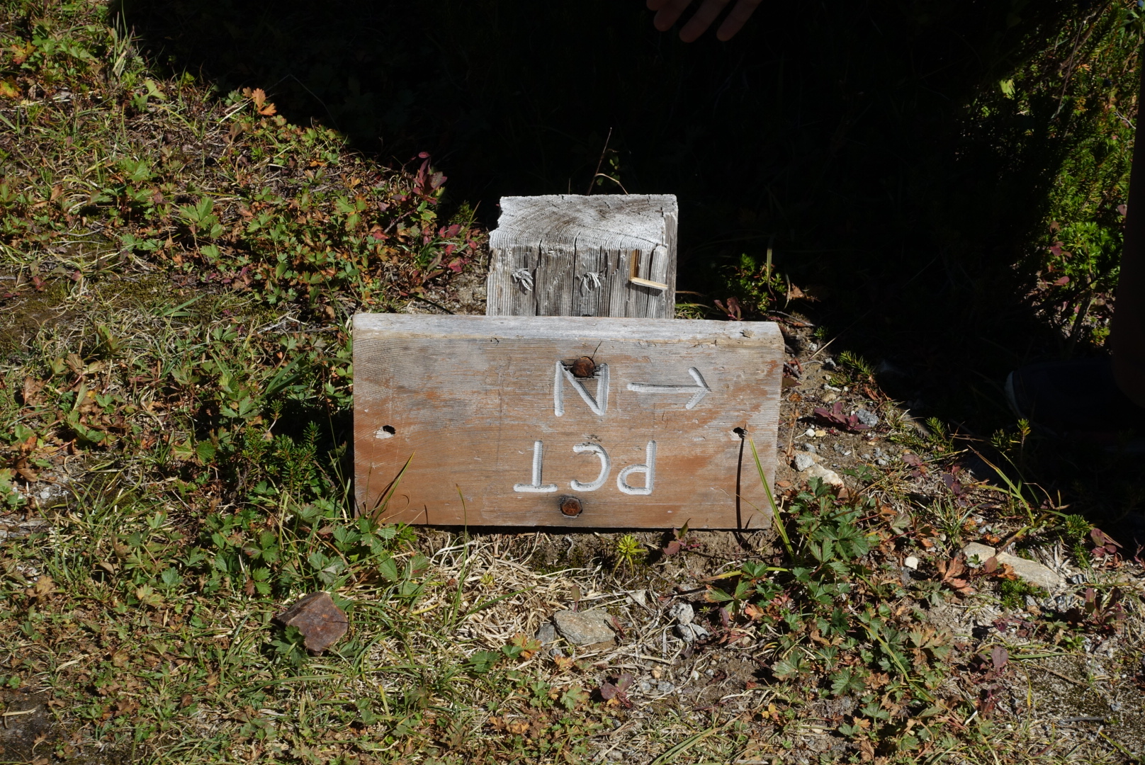
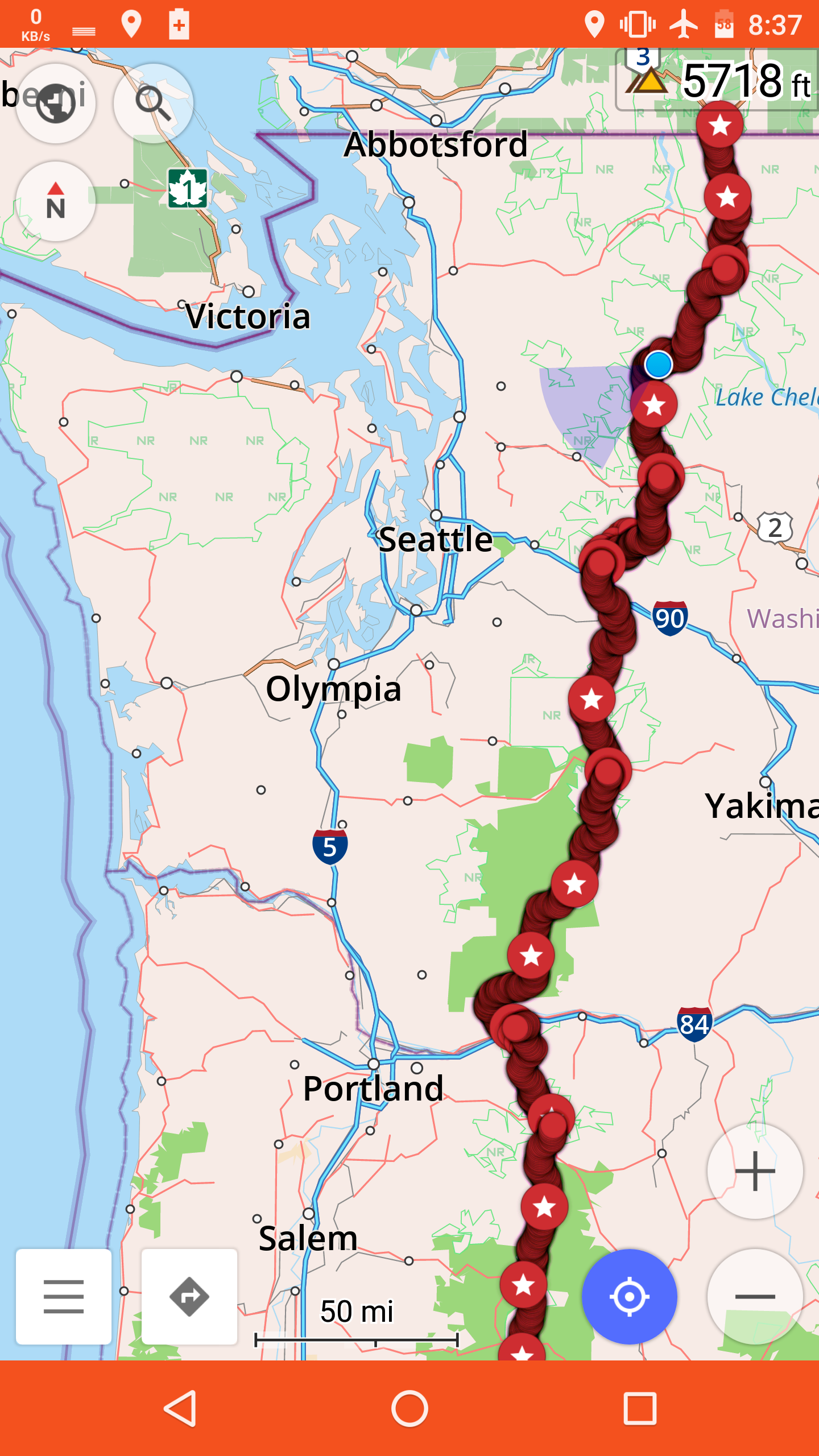
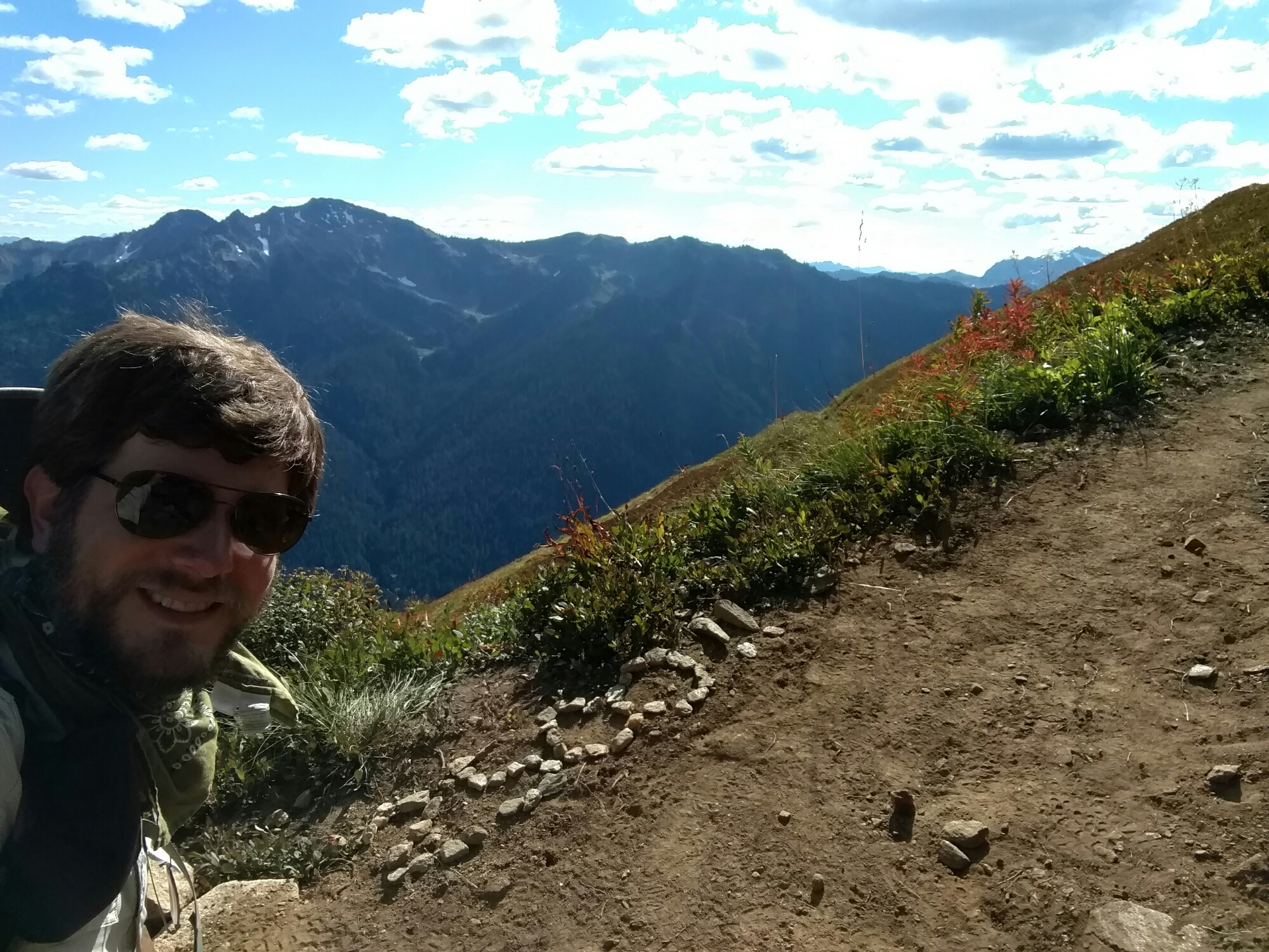
On the way down to our campsite, we crossed the point where 100 miles remained to the northern border.
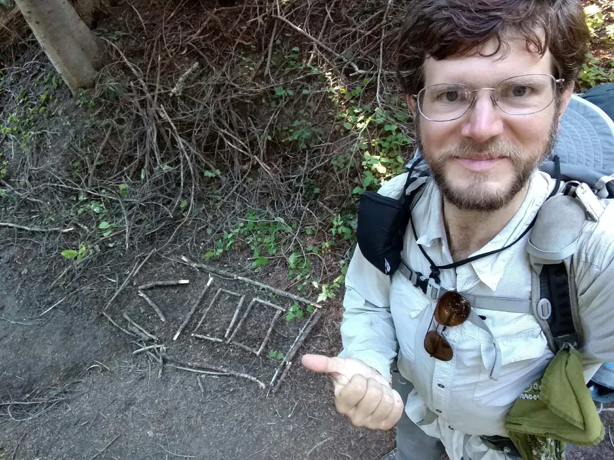
And also 99 miles.
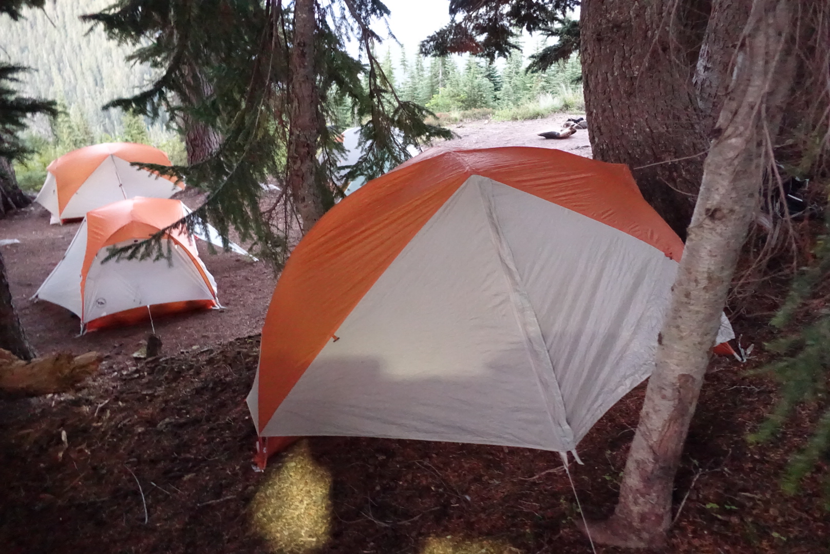
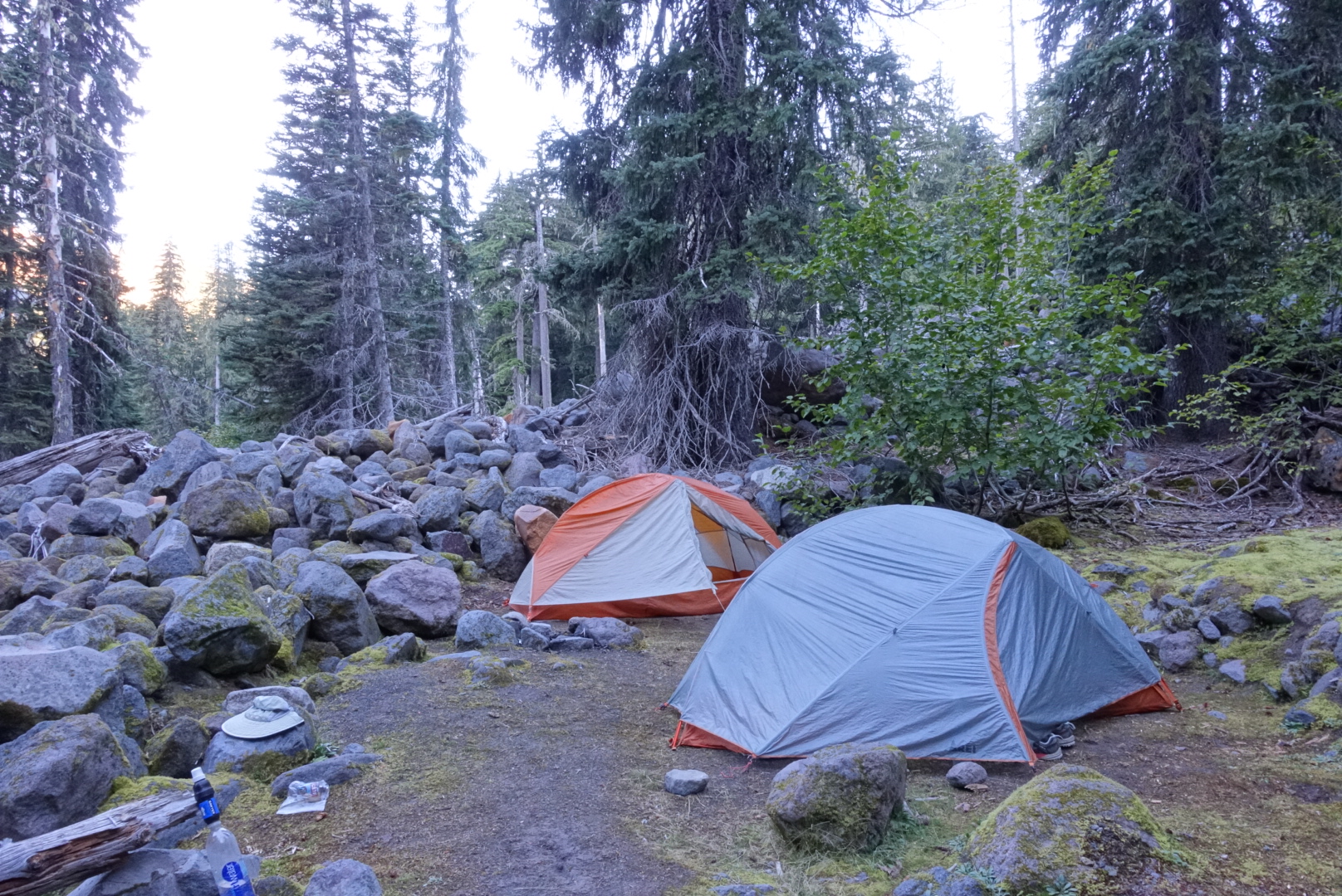
Soon after that, we reached our campsite, chatted with a local about Big Agnes tents, and went to bed.
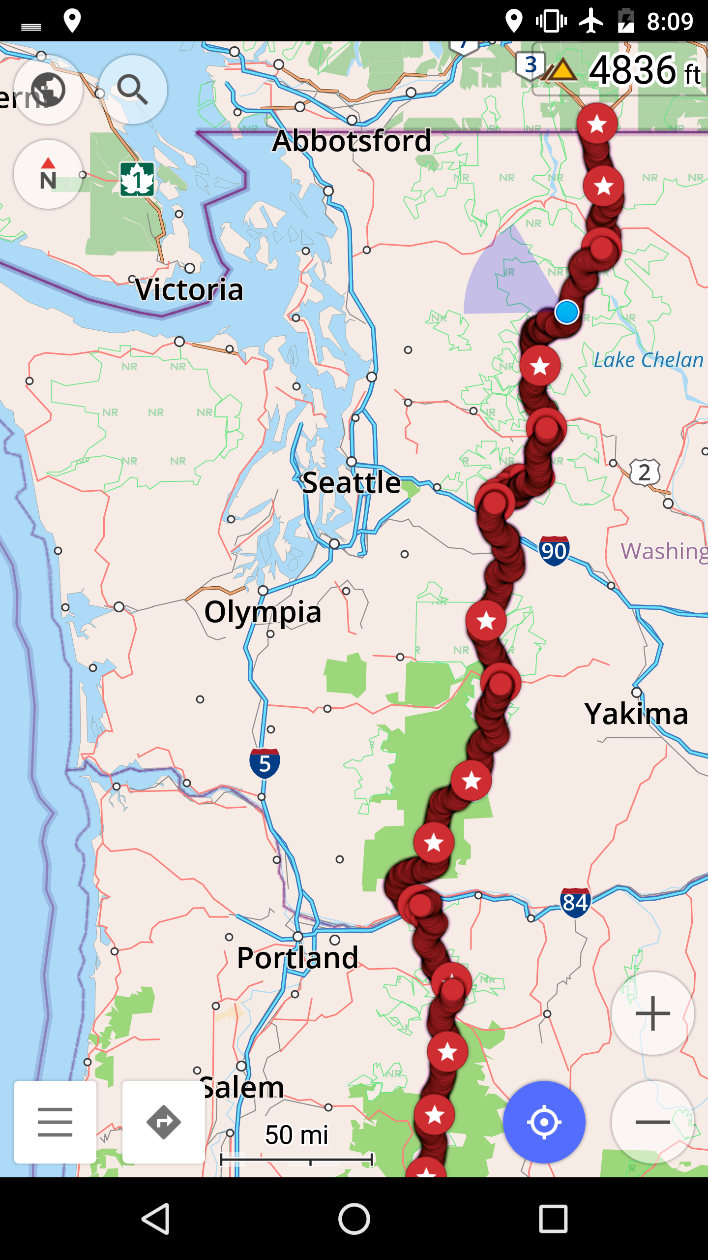
104 miles left.
