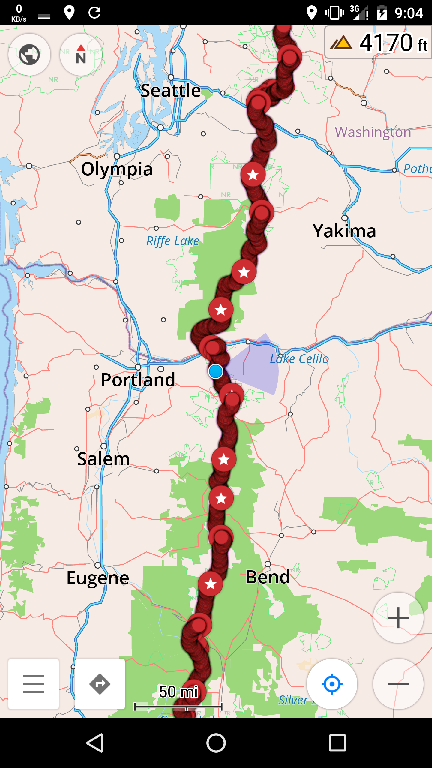
Cascade Locks to CS2157 – 8-26

There was much to do in Cascade Locks this morning. I needed to ship two large resupply packages to Northern Washington, plus get food for the current leg of the journey, plus do laundry.

The weather forecast showed a high of 95 today.
image
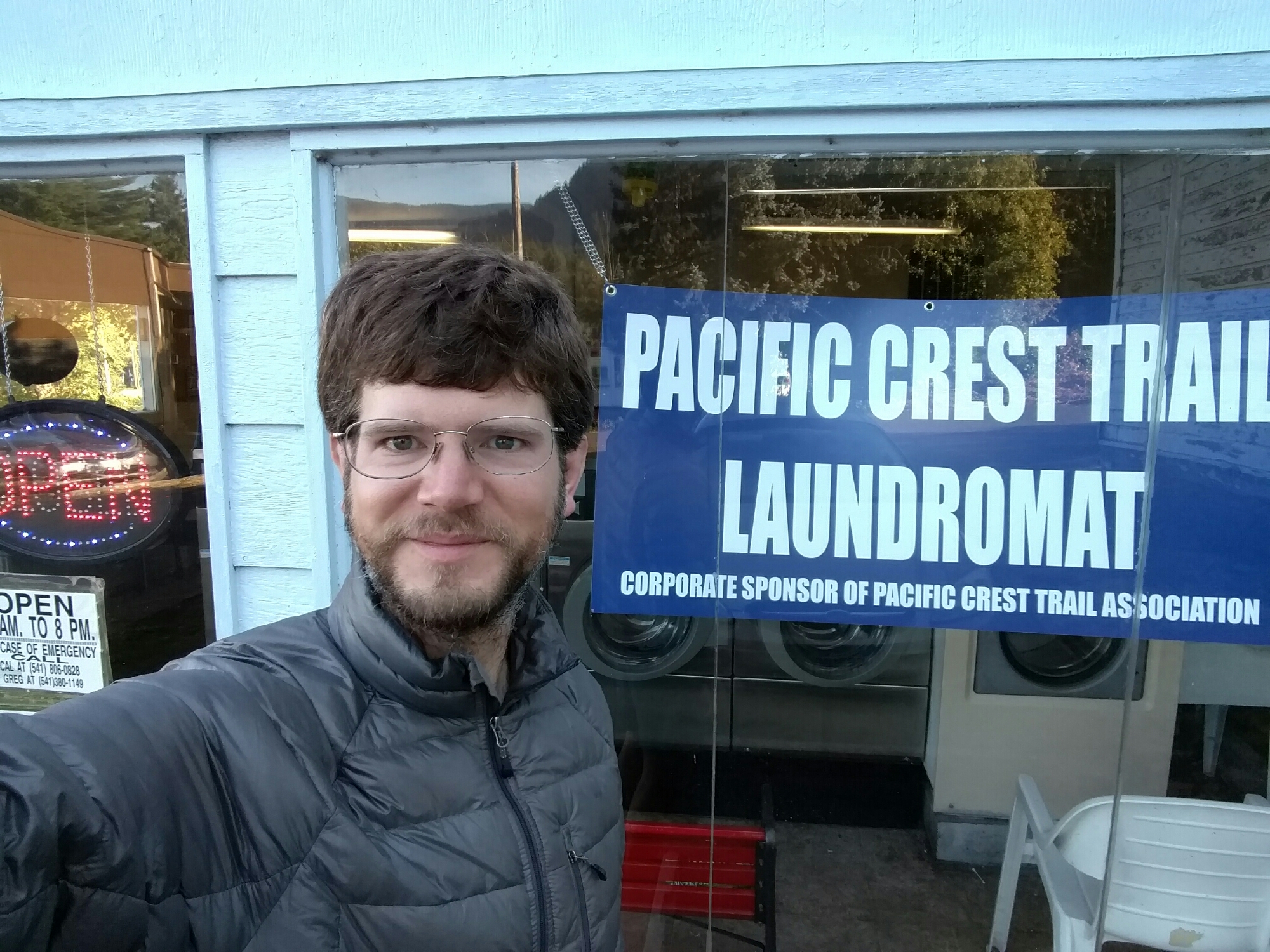
Since it was all I had that wasn't in the laundry, I wore my down jacket as a shirt in the hot weather

The laundromat was a peculiar place. It had no change machine, but the owner made change from his pocket instead, slowly separating the quarters from the pocket lint. He only had 7 quarters for my $2, but that was enough to start the washer. He walked slowly around the store, and told me about the town.

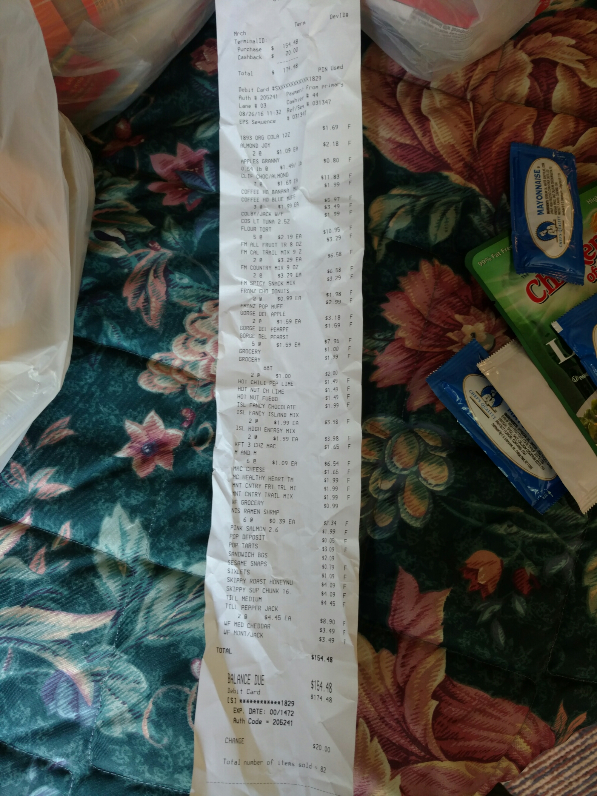
Shopping for supplies was tricky. I needed to put together about 14 days of food, without being too repetitive, from a fairly small grocery, and 10 of those days needed to be shipped.
image
I ended up with 5lbs 10oz of tortilla

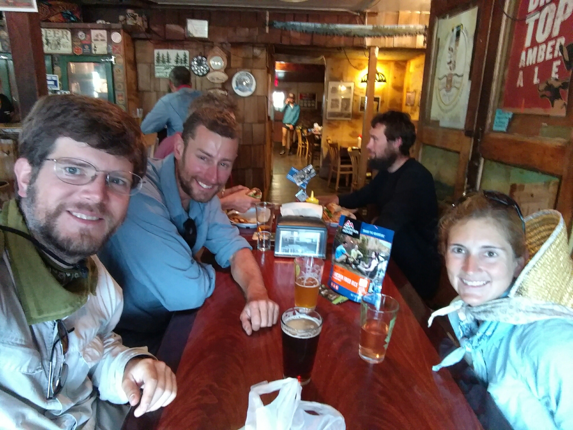
After packaging and shipping my supplies, it was time for one last meal of town food before entering the wilds of Washington. We chose the Cascade Locks Ale House, across the street from the post office. And who should be inside, but Bill the dairy scientist, who we’d first met way back on Mt. San Jacinto.
image
Only the people looking at the camera are part of this picture

We chatted about Oregon, and about the trail to come. It turned out, the Bill and Breanna I’d seen on a list at Olallie Lake was not him — he hadn’t seen Breanna since Mammoth, more than 1000 miles ago.

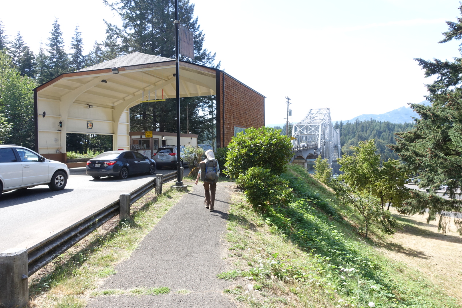
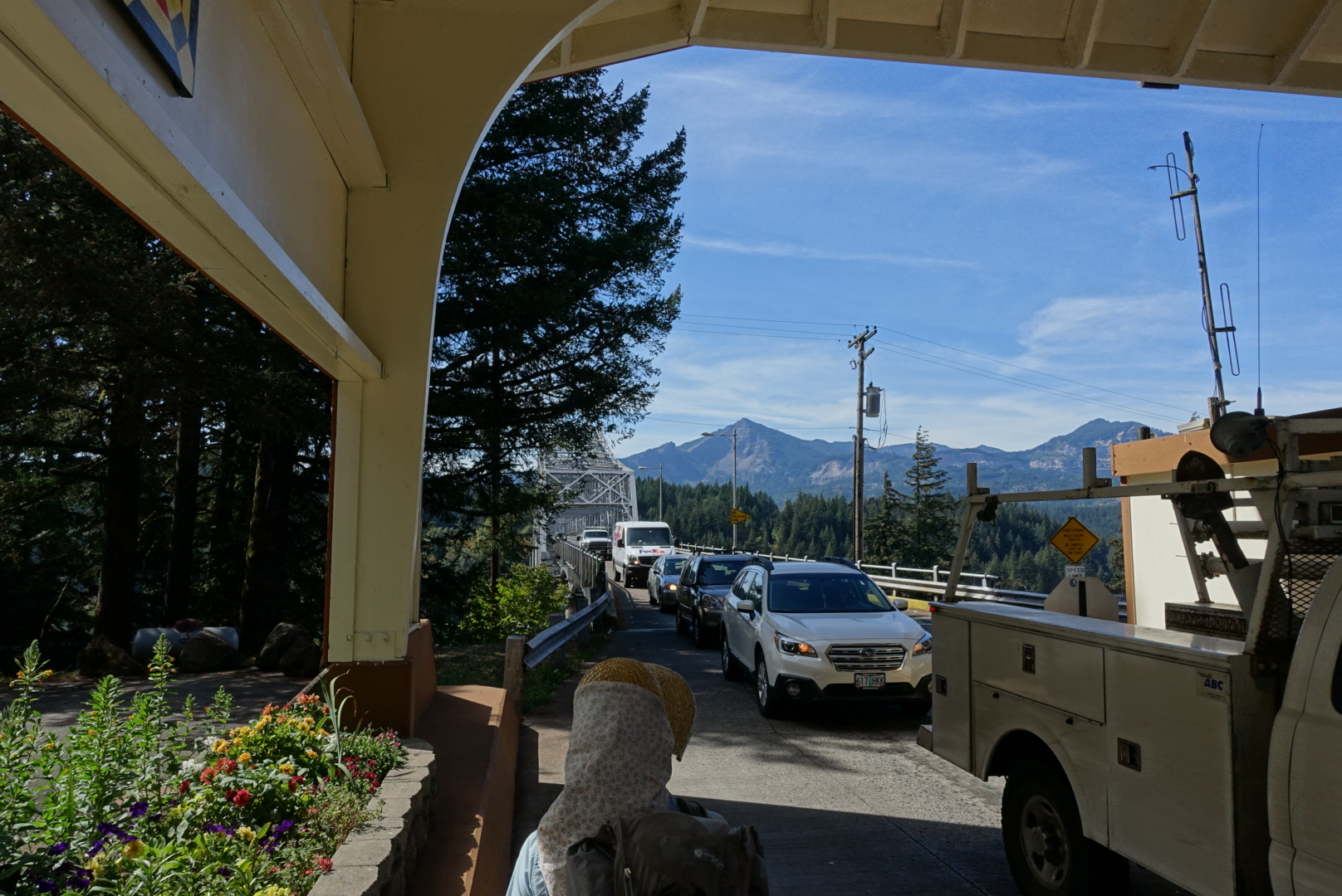
We procrastinated it into a 2 hour lunch, but eventually had to leave. It was time to enter Washington, and to cross the Bridge of the Gods, past Thunder Island.
image
With names like that, it sounds like I'm headed to Washington on a quest to steal the hammer of Thor
image
There is no pedestrian route on Bridge of the Gods

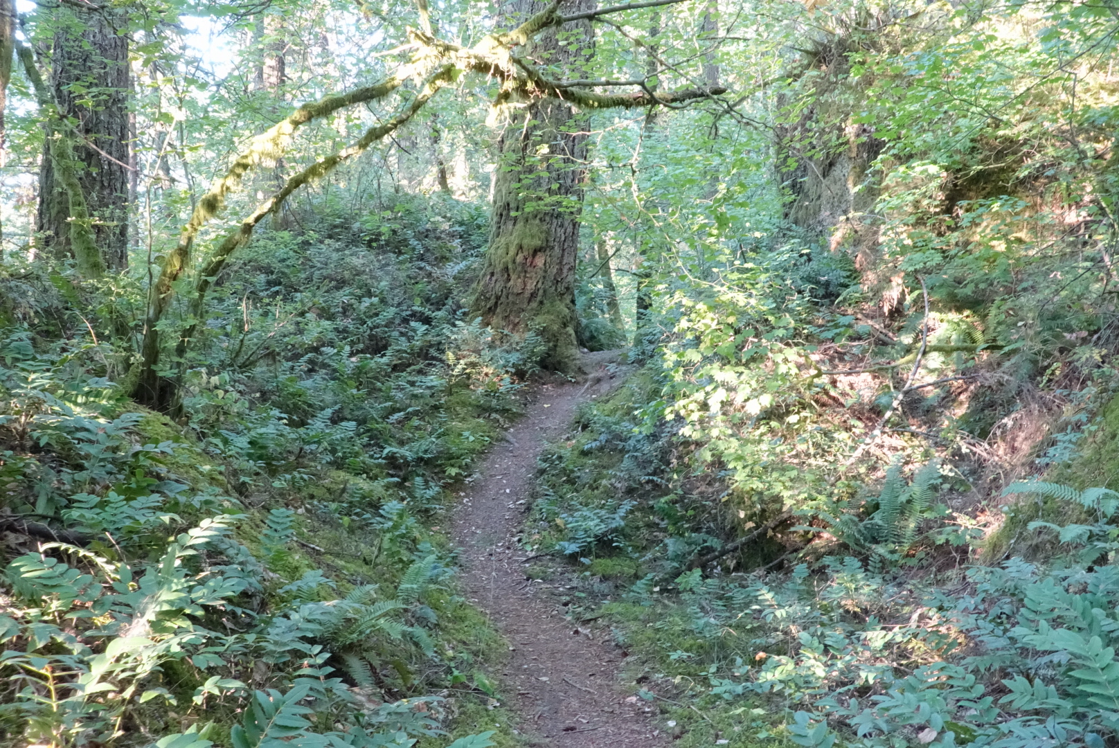
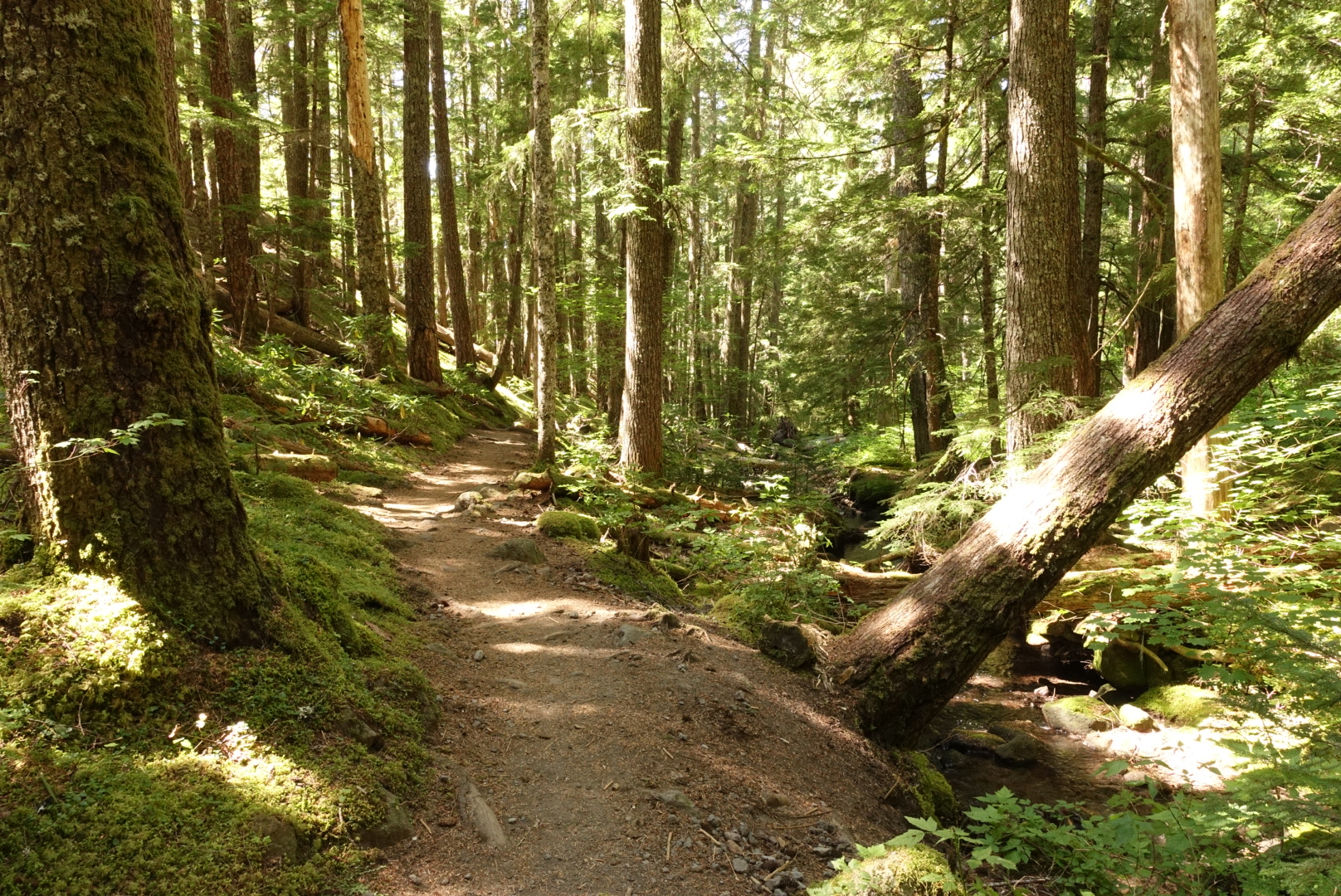
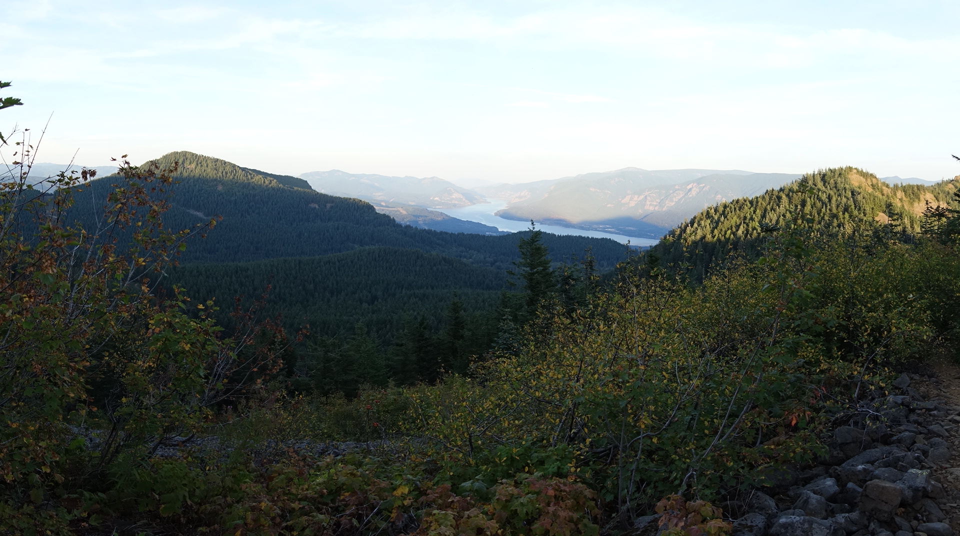
Once in Washington, the trail quickly rose up into the mountains, along green ferny tree-covered trails.
image
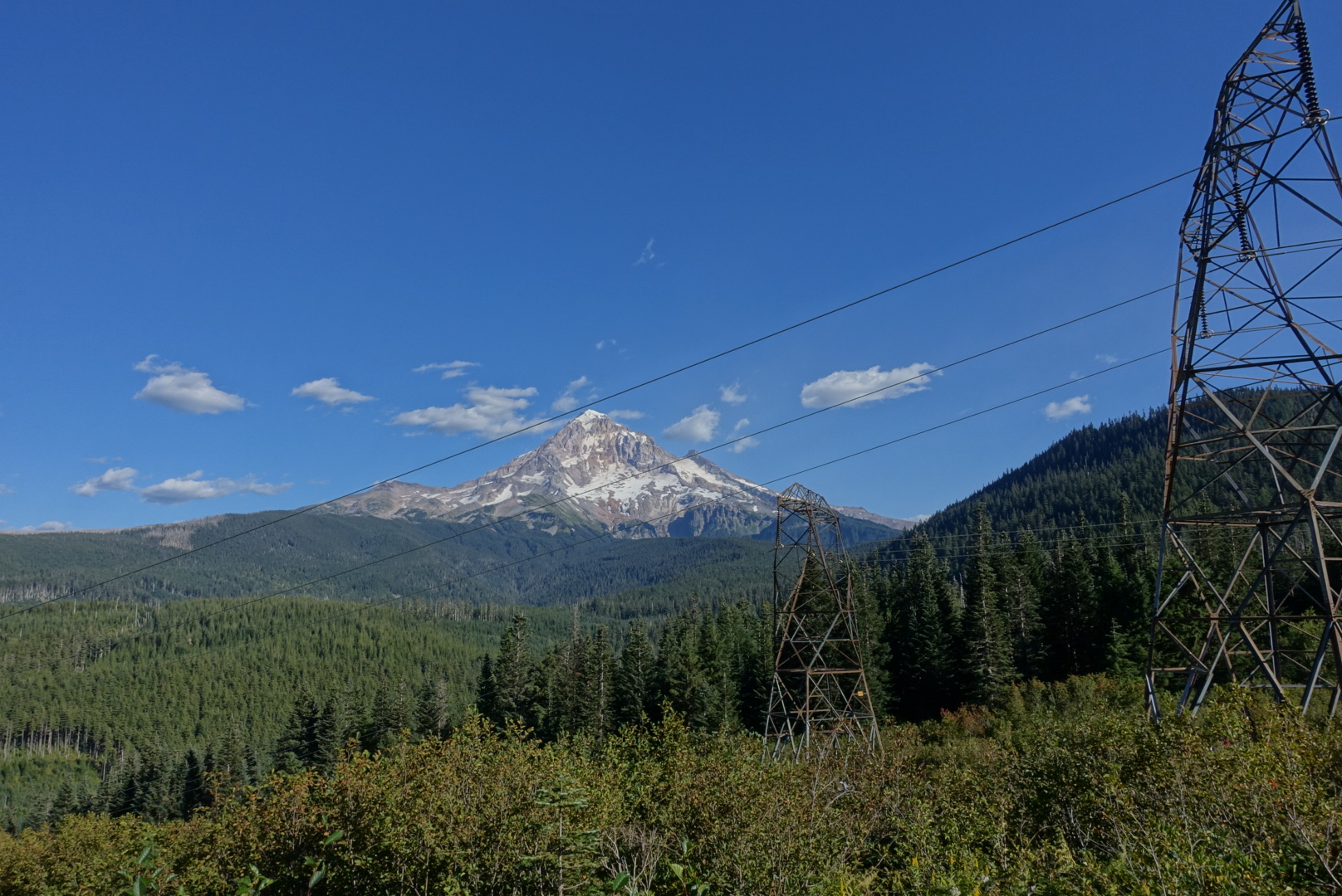
There were a few long views, too

We only covered about 13 miles today. Our late start, plus the changing seasons, meant we’d have to night-hike to get any further, so we set up our tents, and went to sleep.
image
45.72591, -122.01061

CS2119 to Cascade Locks – 8-25

I woke up early, and stayed in bed late. It wasn’t a cold morning or anything, I’m just getting used to late starts. There was no hurry to be anywhere.

Soon enough, the trail reminded me that I was making progress, though.

image
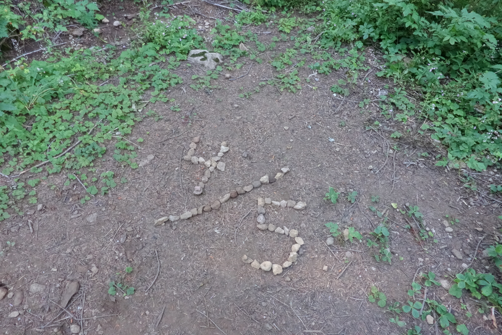
80% complete. Good enough for a B-

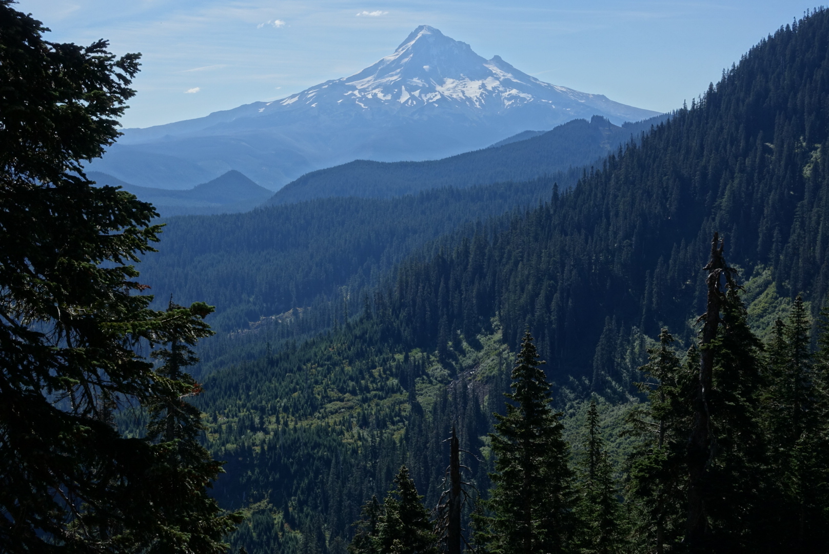
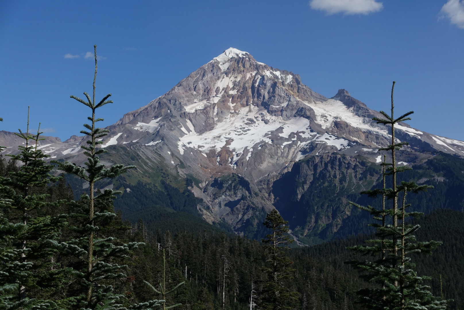
The trail started with conifer-laden views of Mt. Hood, but quickly descended to lush creek valleys.

image
Maybe the last view of Mt. Hood, a mountain that doesn't overstay its welcome
image
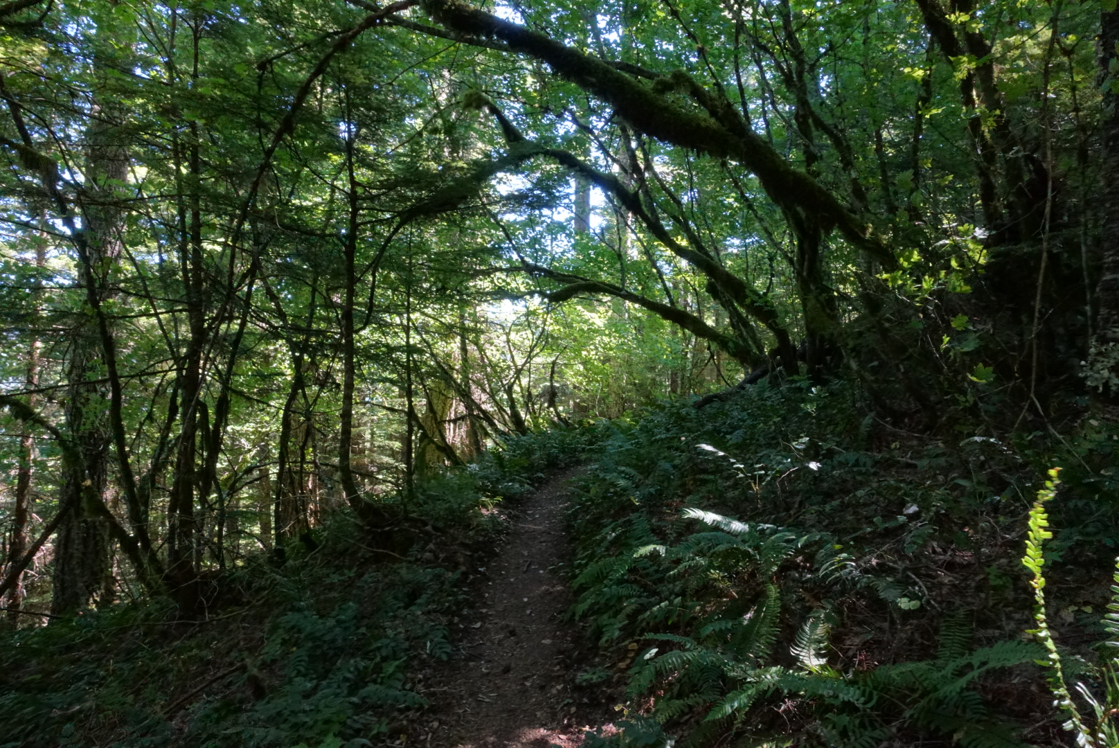
Lush greenery

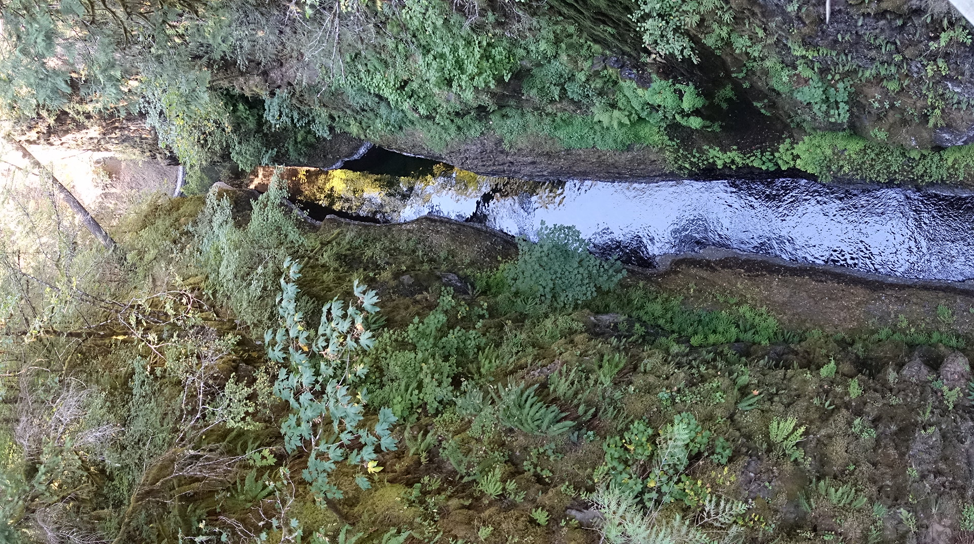
The valley was part of the Eagle Creek Alternate, which followed a network of narrow creek valleys. These valleys have creeks in the bottom, and many tiny tributaries flow in across the trail.

I was gathering water from one such tributary, when who should appear but Elizabeth.

image
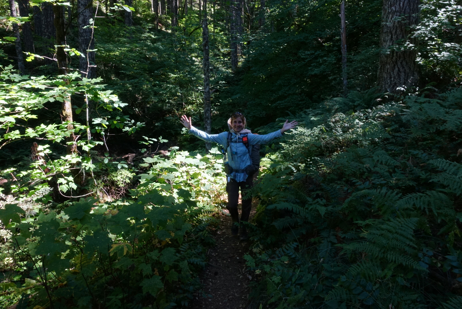
In her natural habitat?

She’d also made a mistake counting mileage on the alternate, and was nowhere near as far from Cascade Locks as she thought. So we were hiking together again.

As we progressed along the valleys, everything got steeper.

image
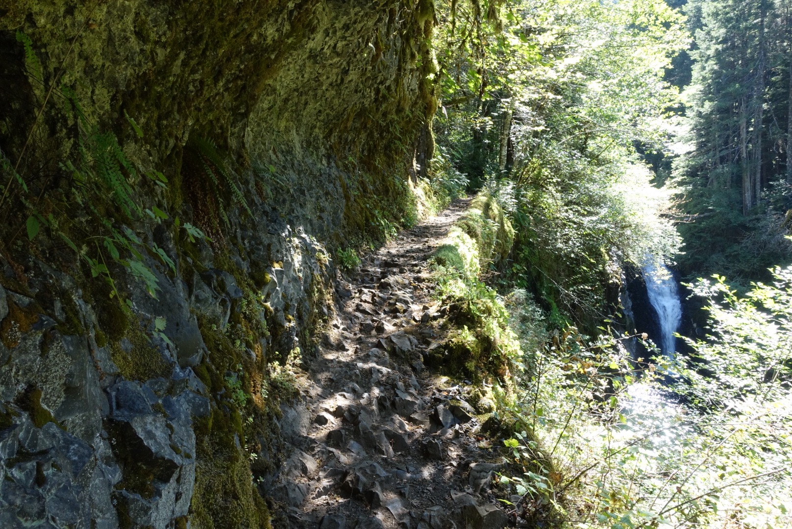
Sometimes, the trail was carved out of a cliff, as if an ice cream scoop cut through the rock to make the trail
image
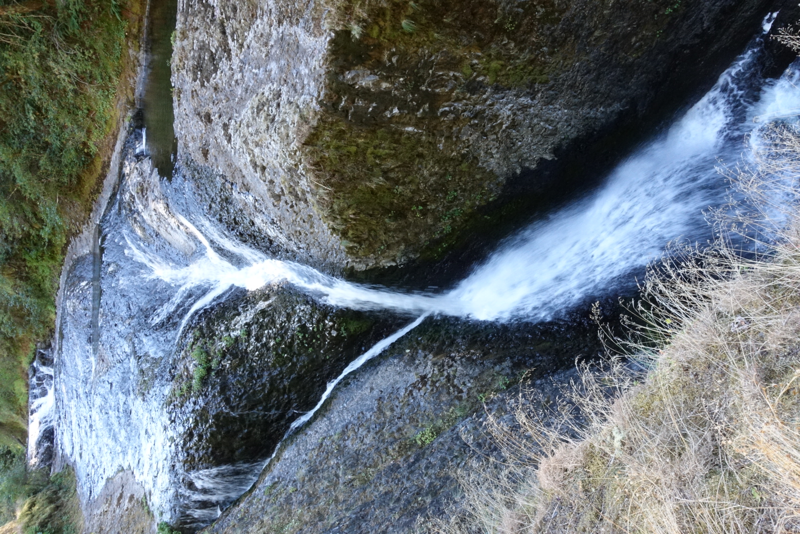
Sometimes, the creek had a long way to fall

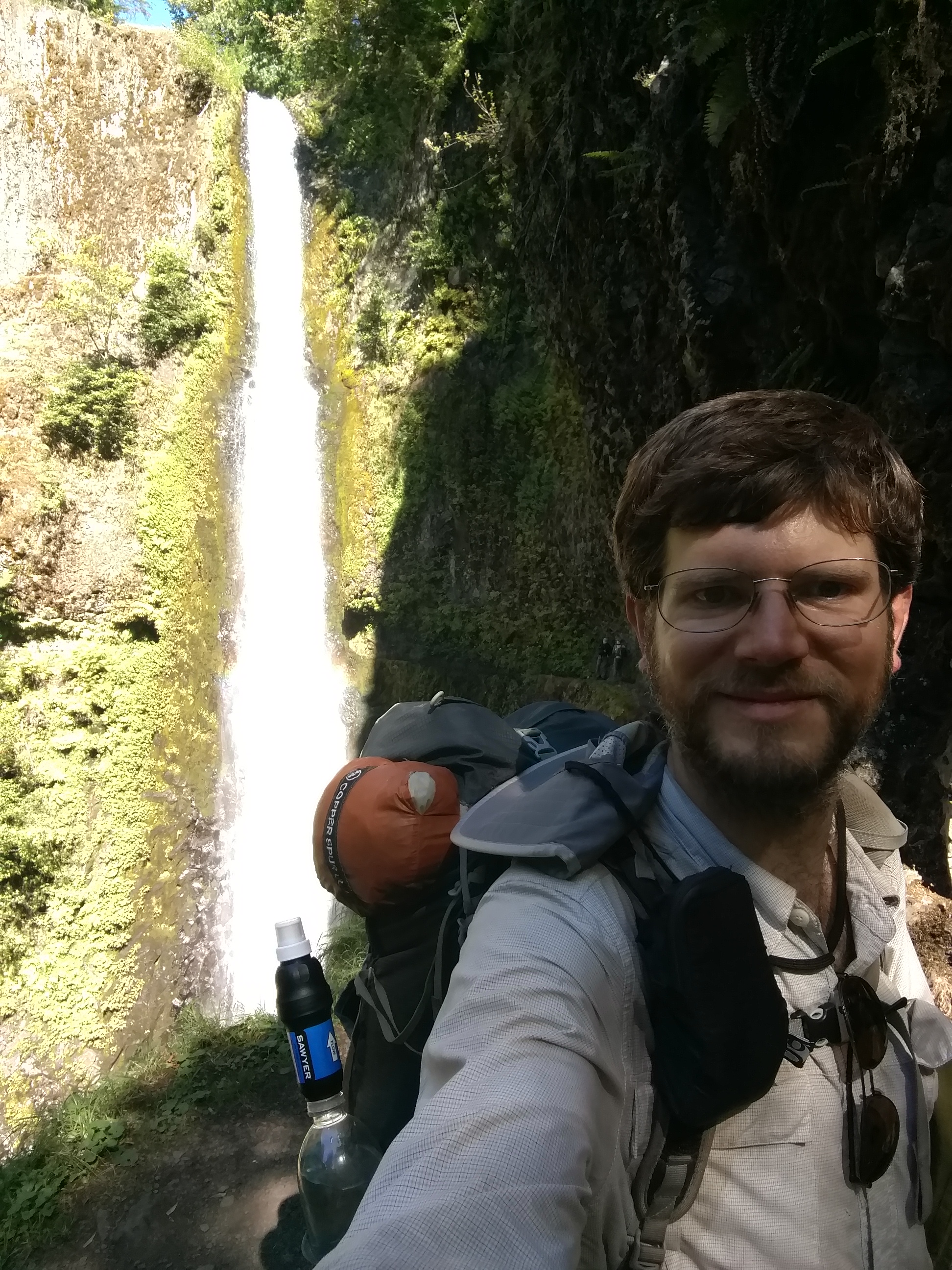
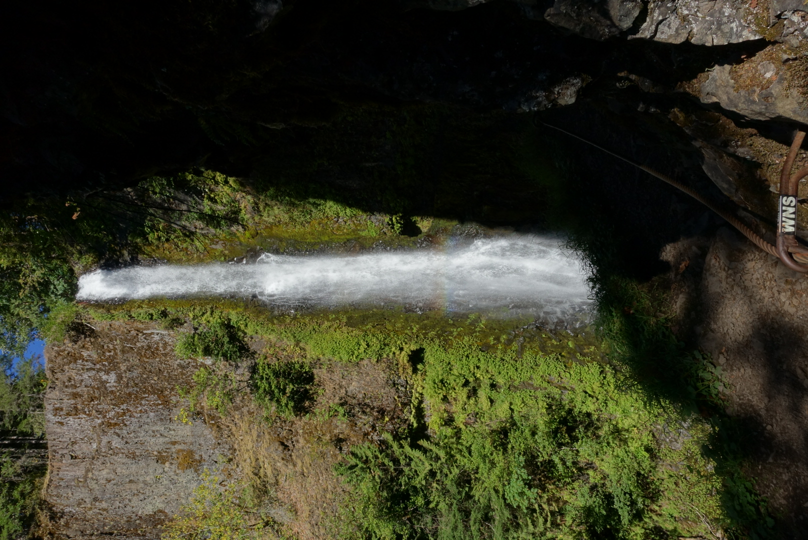
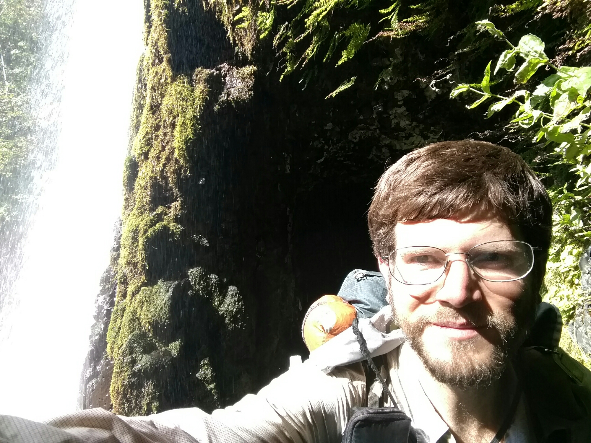
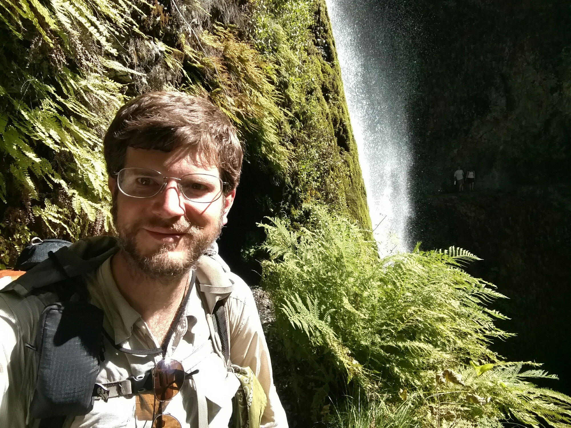
Then, we reached the main attraction: Tunnel Falls.

image
You see those caves behind the waterfall?
image
A clearer view

image

image
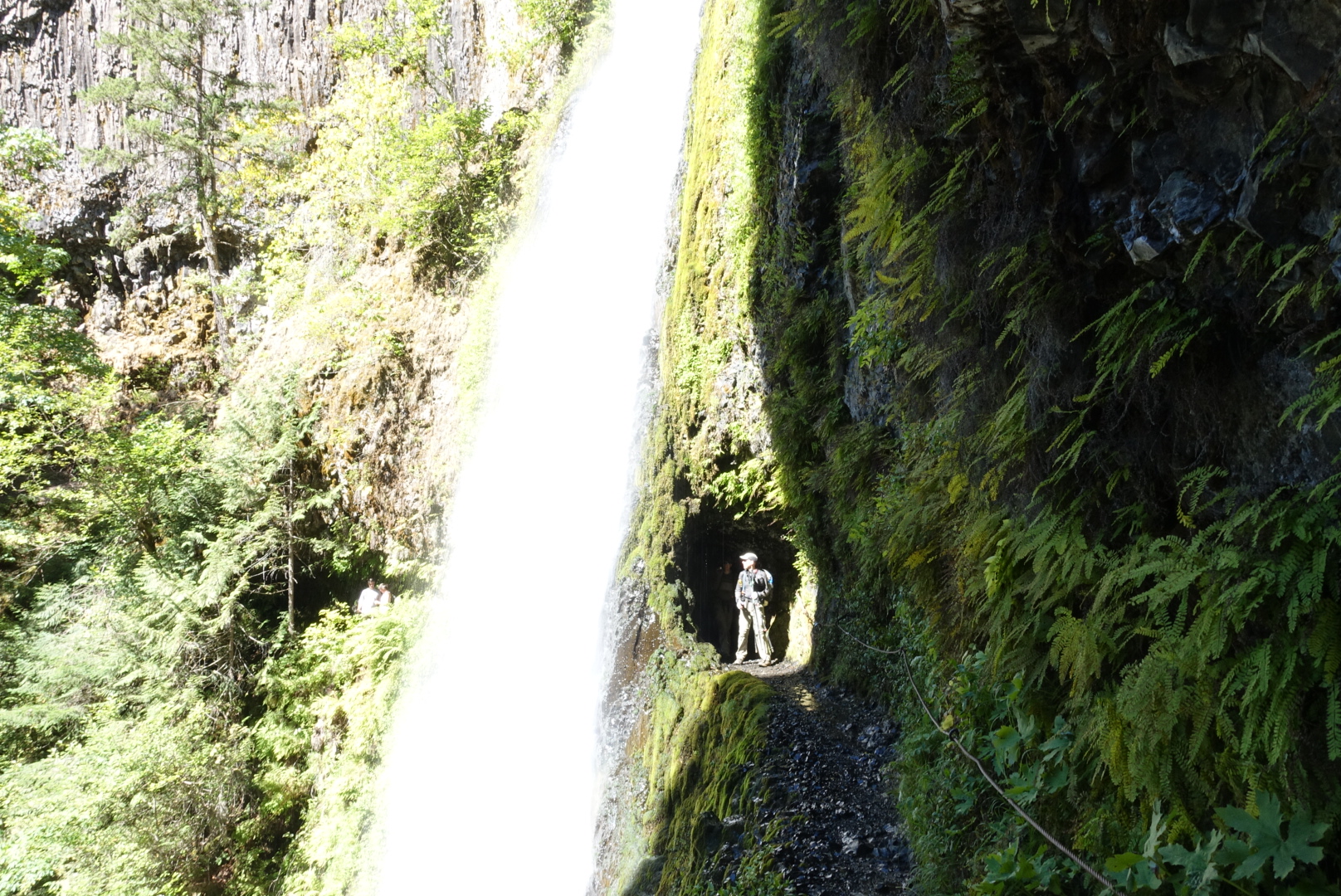
The caves go through
image
Follow me!

image

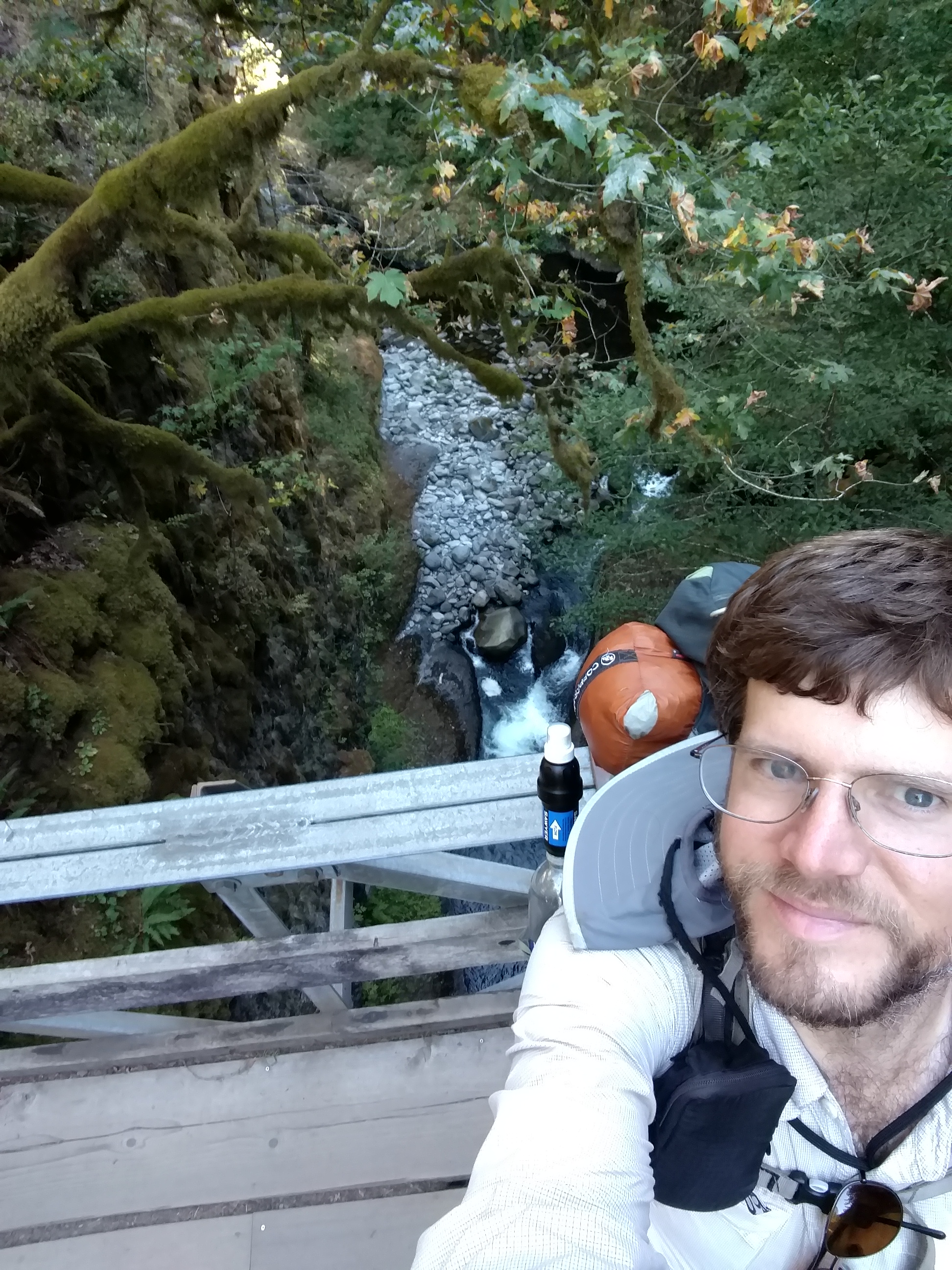
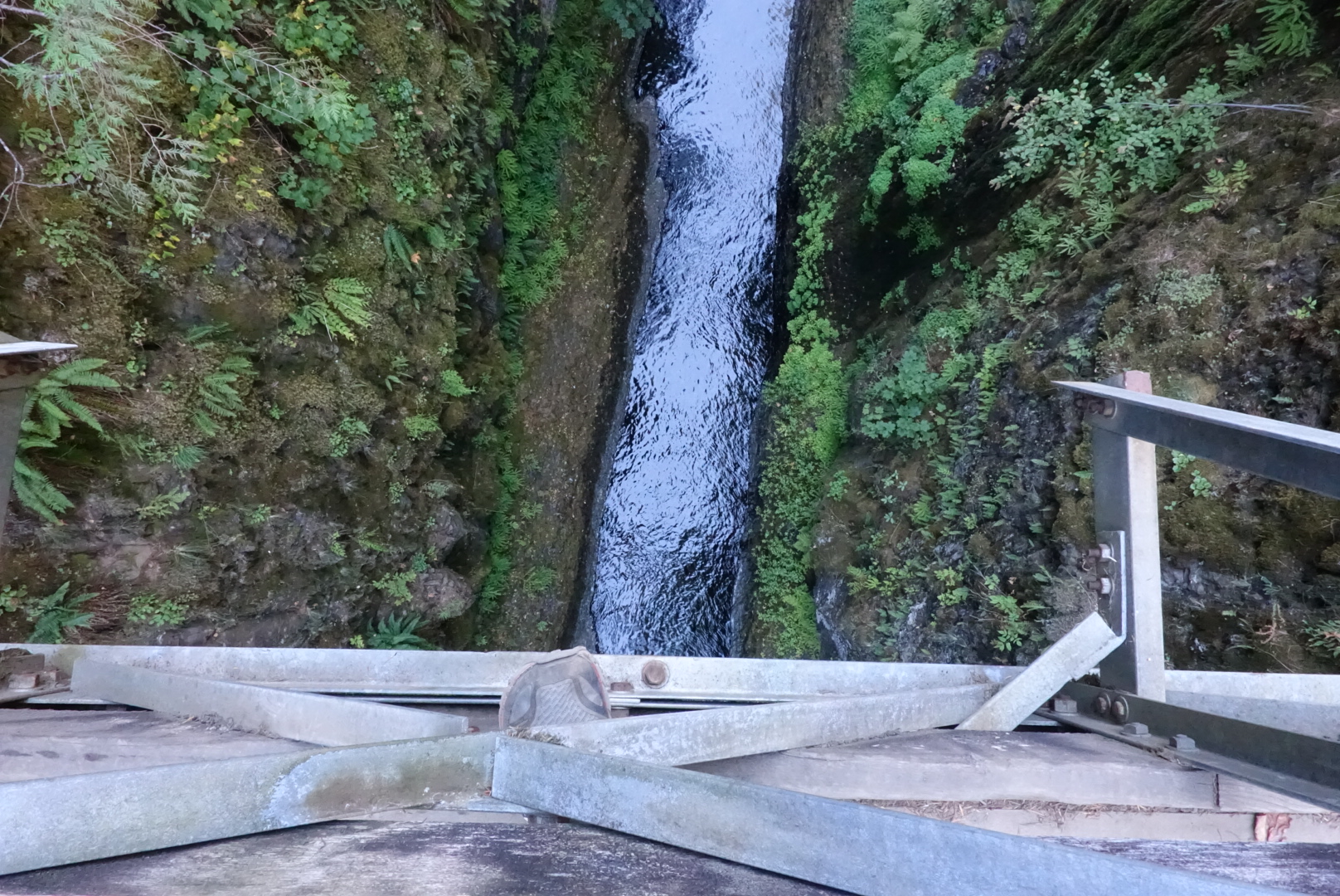
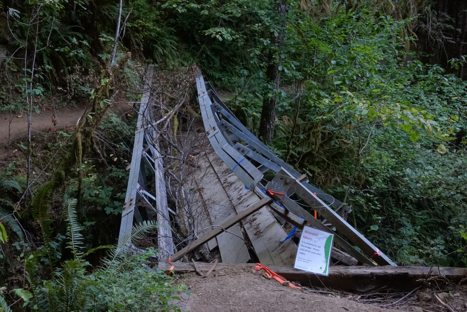
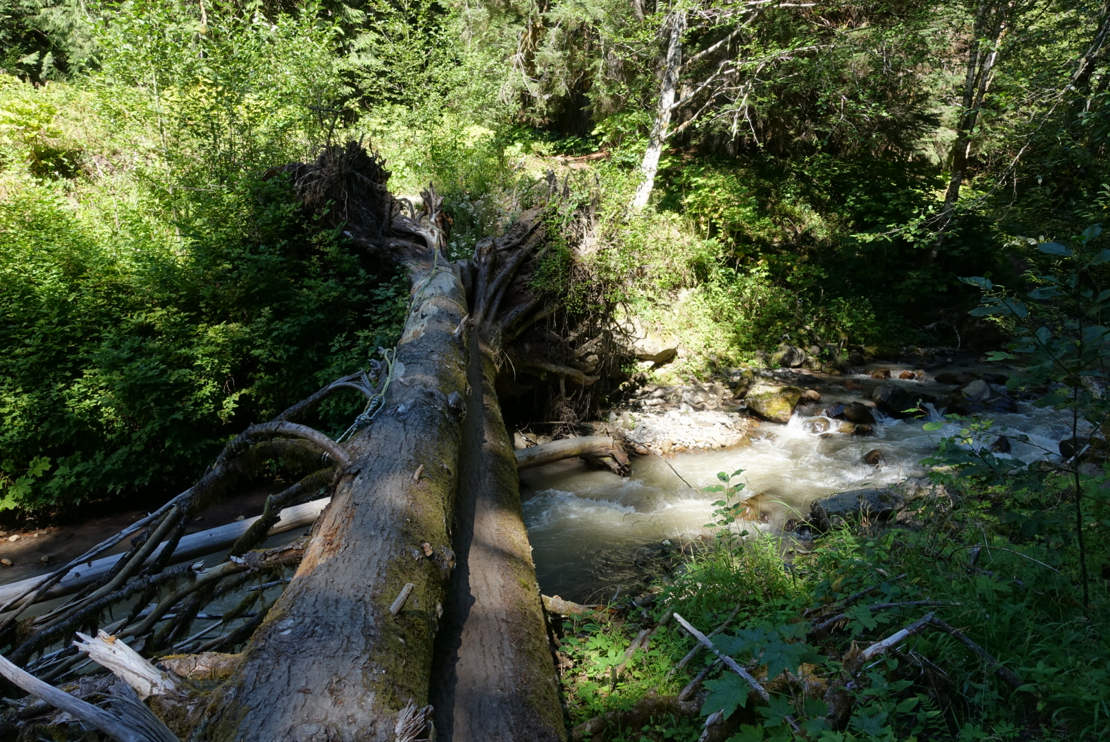
The rest of the hike took us across several bridges, sometimes over very deep crevices.

image

image
It's difficult to judge scale here, but that's a hundred-foot drop.

image

image
This was actually easy to get around
image
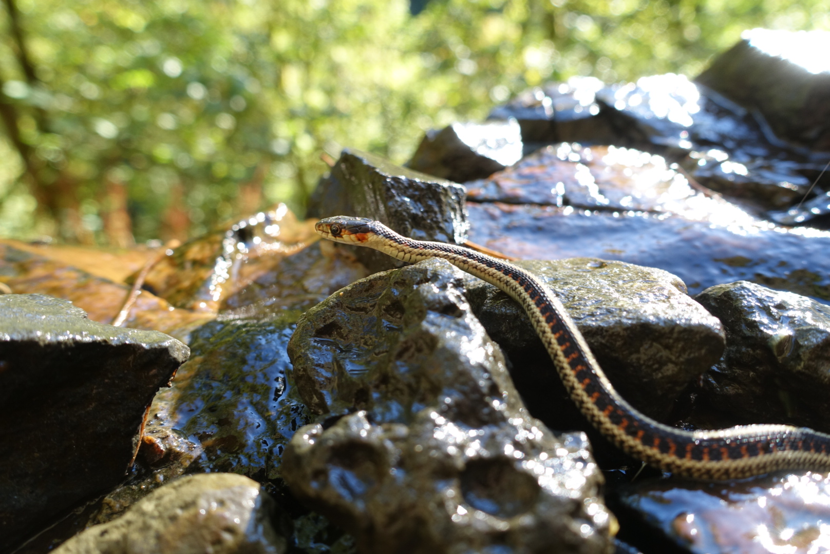
On the way out, Elizabeth pointed out a tiny snake, about 6 inches long

The last stretch paralleled the freeway, which was surprisingly pleasant, considering.

image
Except for the freeway noise, of course
image
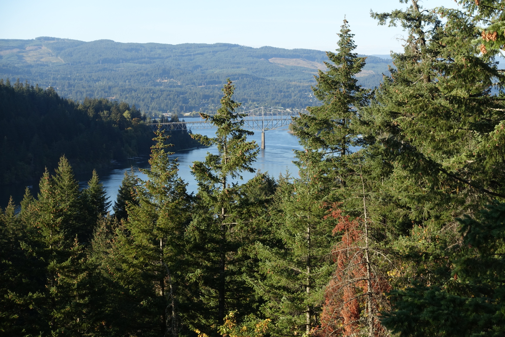
As we approached the city, we saw Bridge of the Gods, which we'd be using as our gateway to Washington

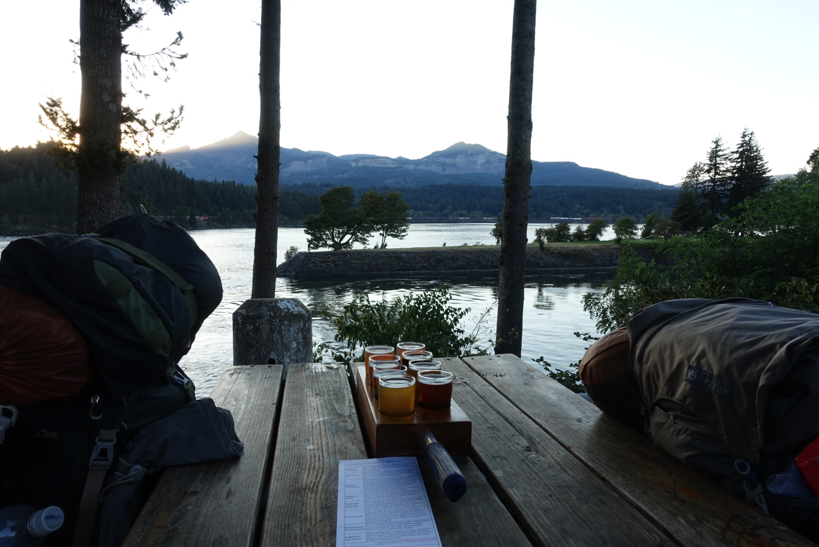
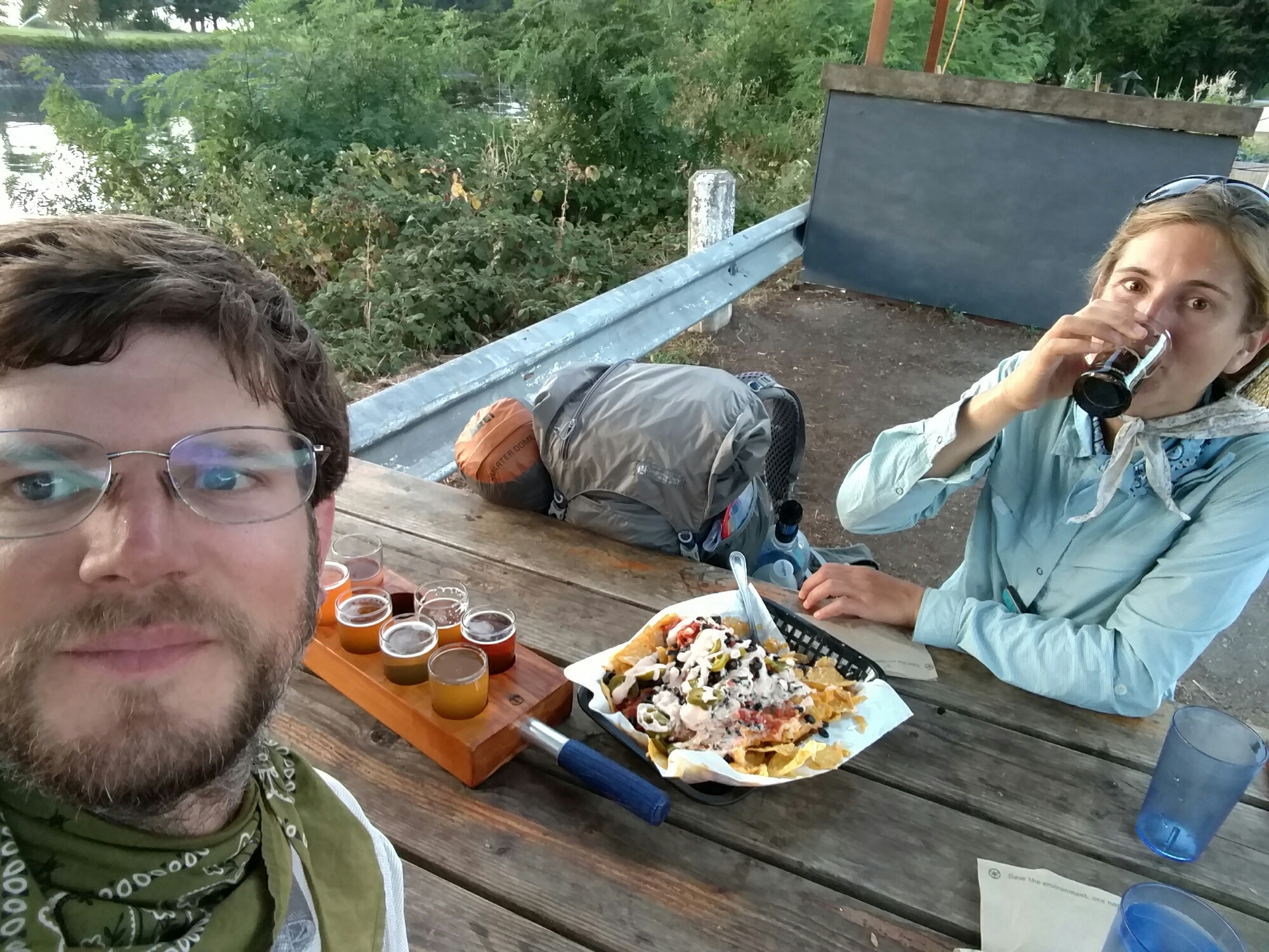
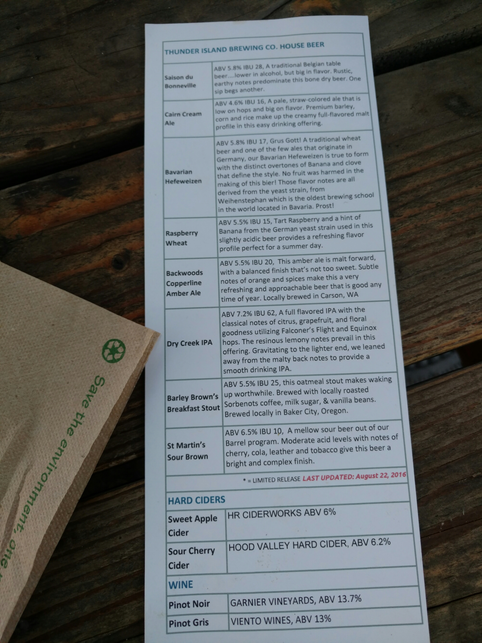
As soon as we got into town, we had dinner at Thunder Mountain Brewing, a highly-rated brewpub on the river.

image
I highly rate this table's view

image

image
These are nearly all very good

At last, we went over to the motel, and went to sleep. Altogether, I’d highly recommend the Tunnel Falls area to weekend backpackers — the scenery is terrific, there’s plenty of water, and nice campsites.
image
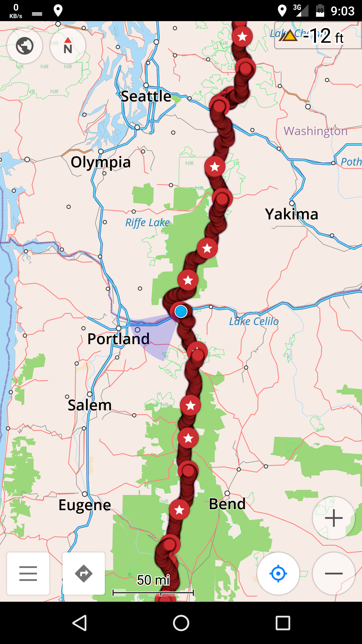
45.66639, -121.89447

Timberline Lodge to CS2119 – 8-24

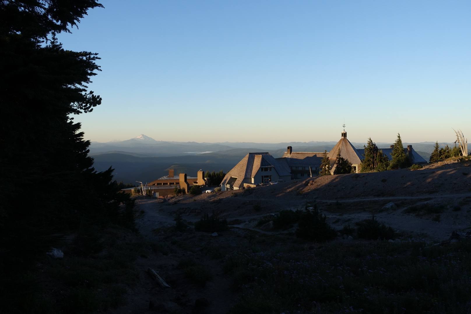
I had such big plans today. I was going to fuel up at the Timberline’s all-you-can-eat breakfast, then get going and cover 30 miles.

image
I packed up camp, and went downhill to the lodge
image
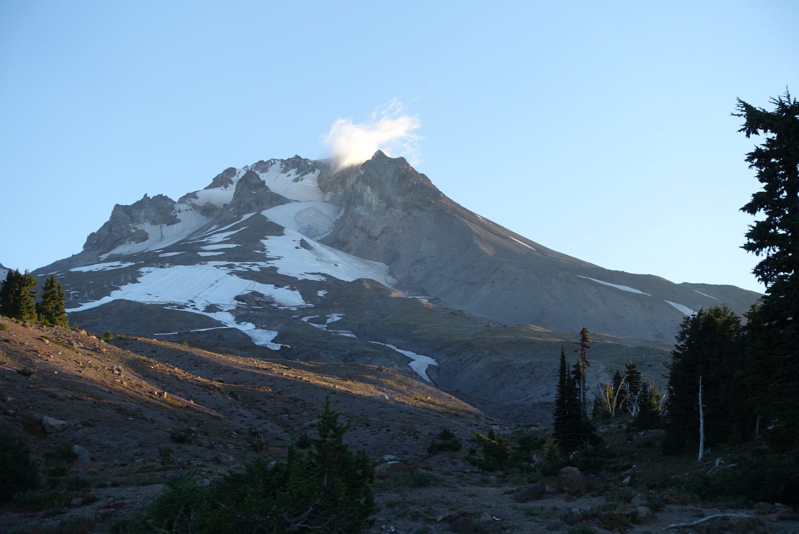
Behind me, Mt. Hood was starting to get light

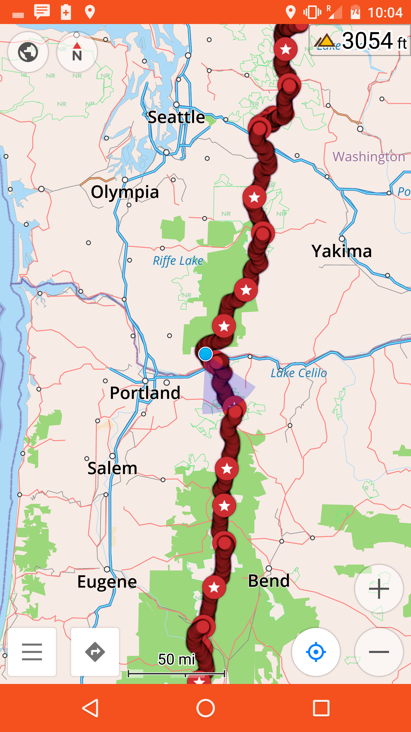
There was a famous alternate up ahead — the Eagle Creek Alternate — that I’d wanted to do since before I started the trail. It added 5 miles, such that a 30 today would leave me 25 tomorrow, when I’d arrive in the town of Cascade Locks. I needed time in town, so 25 miles was all the time I could spare tomorrow.

But, the Timberline was warm, and the trail was cold and windy. And there were many things I needed to check on their Wi-Fi. And then there was the museum.

image
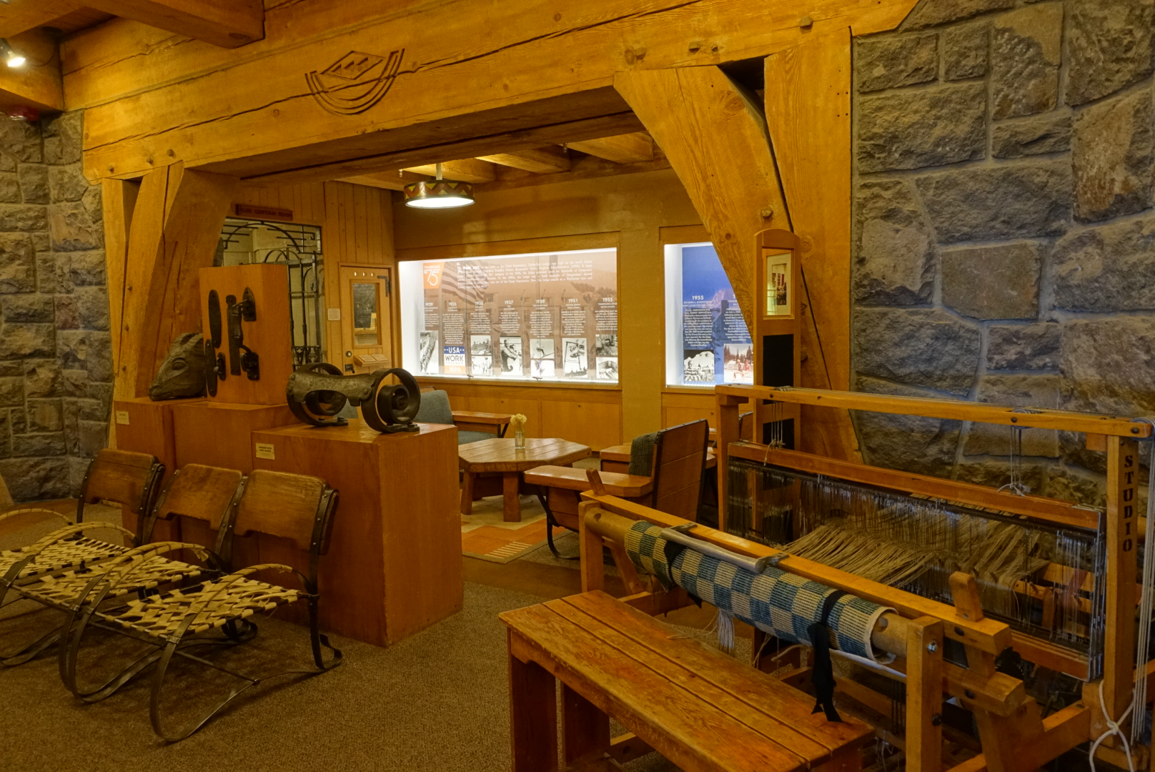
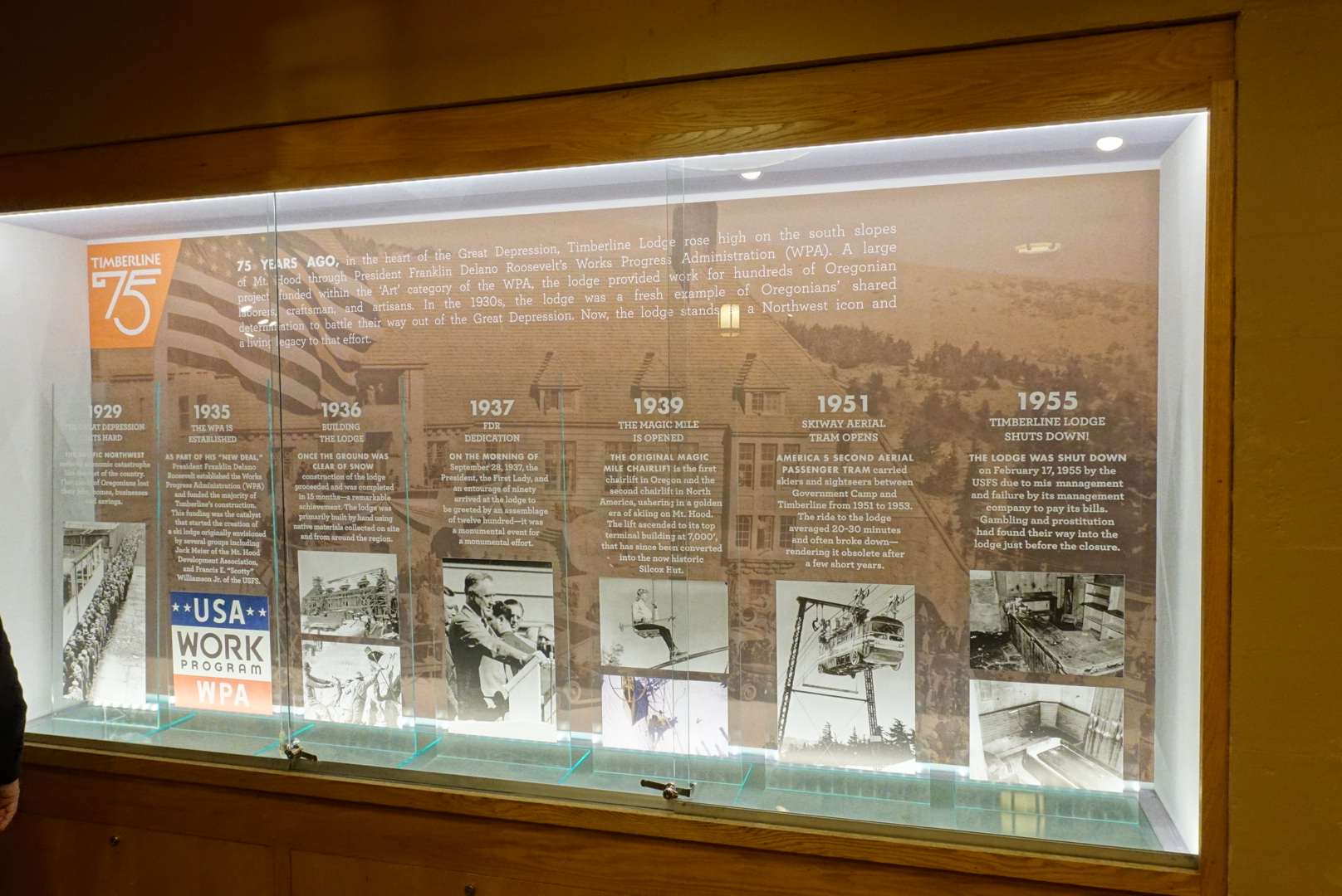
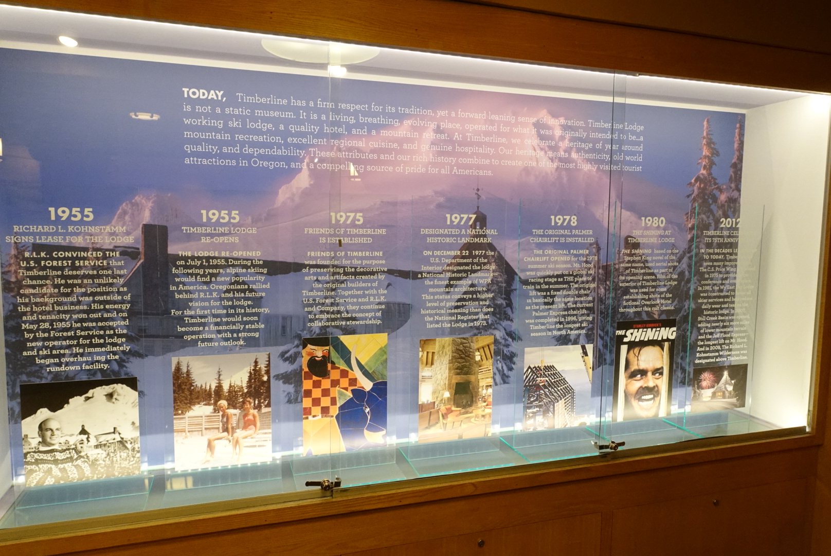
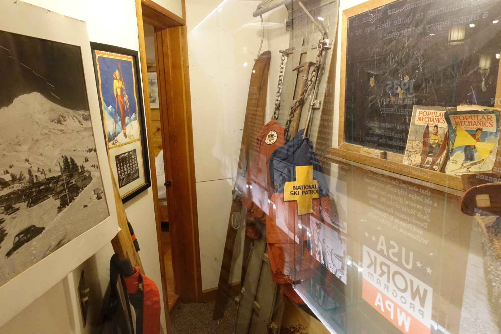
A corner of the lobby was set aside for a museum of the building's history

image

image

image
A ski patrol room from the '30s
image
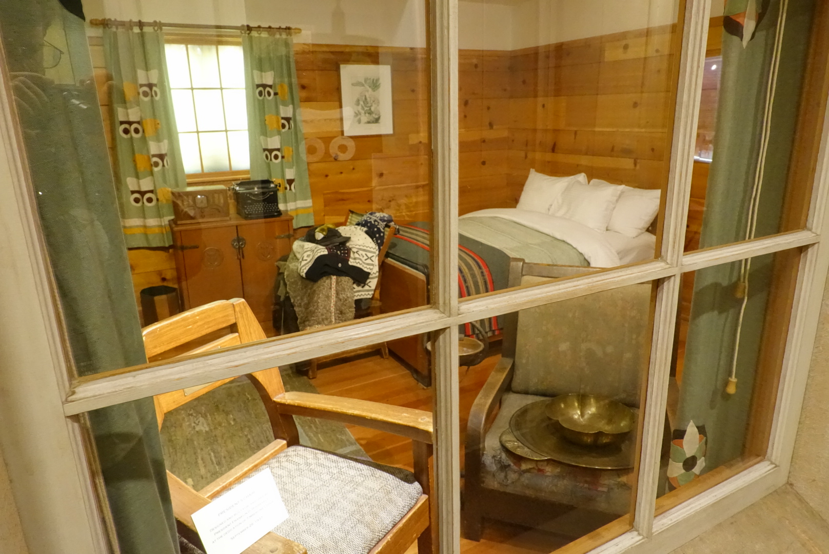
One of their original guest rooms
image
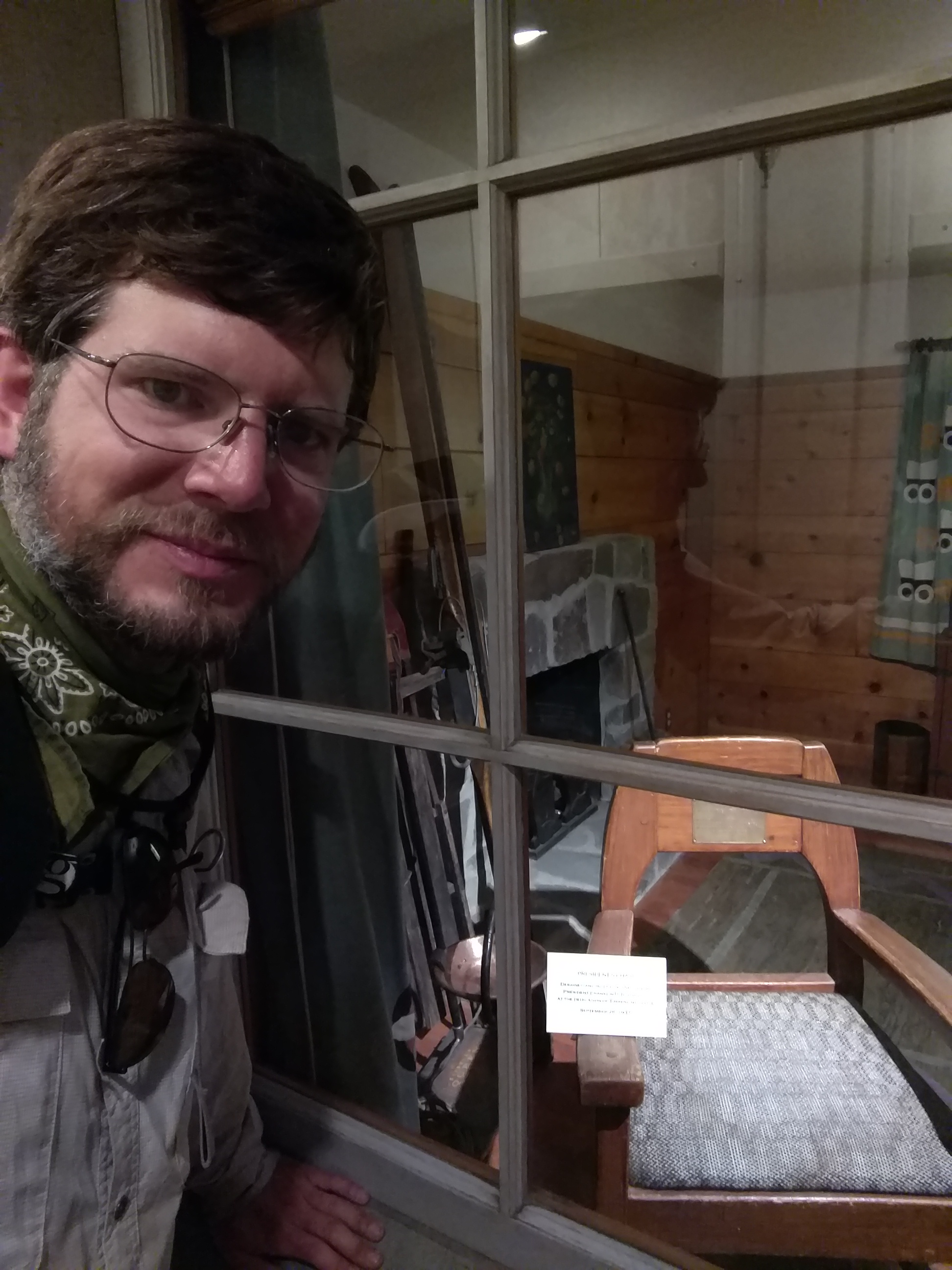
FDR attended the opening and sat in this chair
image
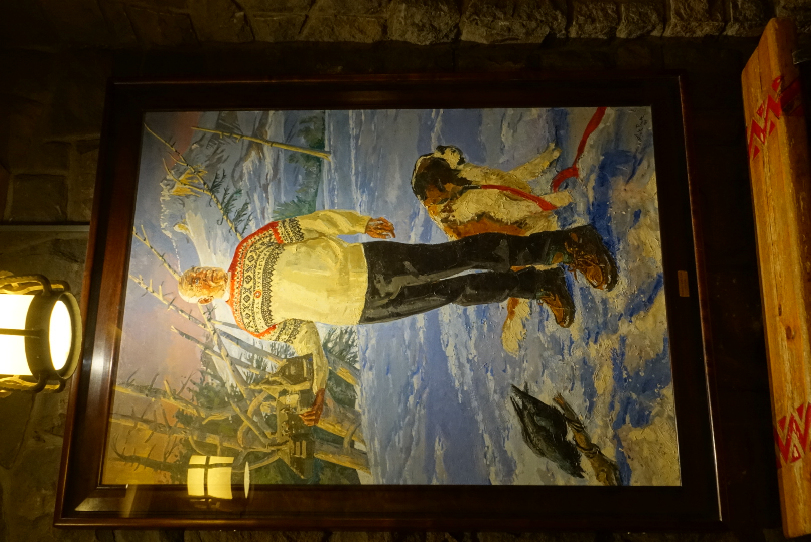
Richard L. Kohnstamm revitalized the lodge when it had fallen into disrepair in the'50s, and may have been a giant
image
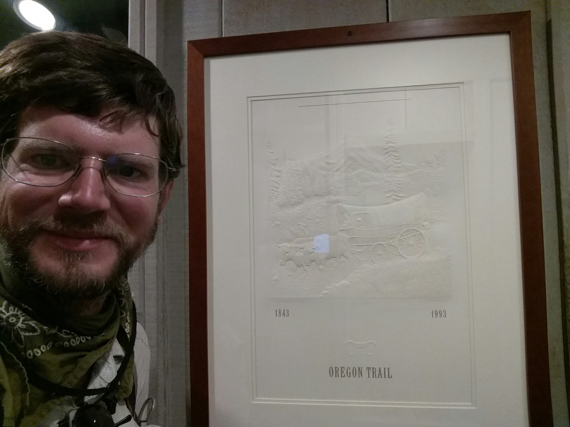
The Oregon Trail
image
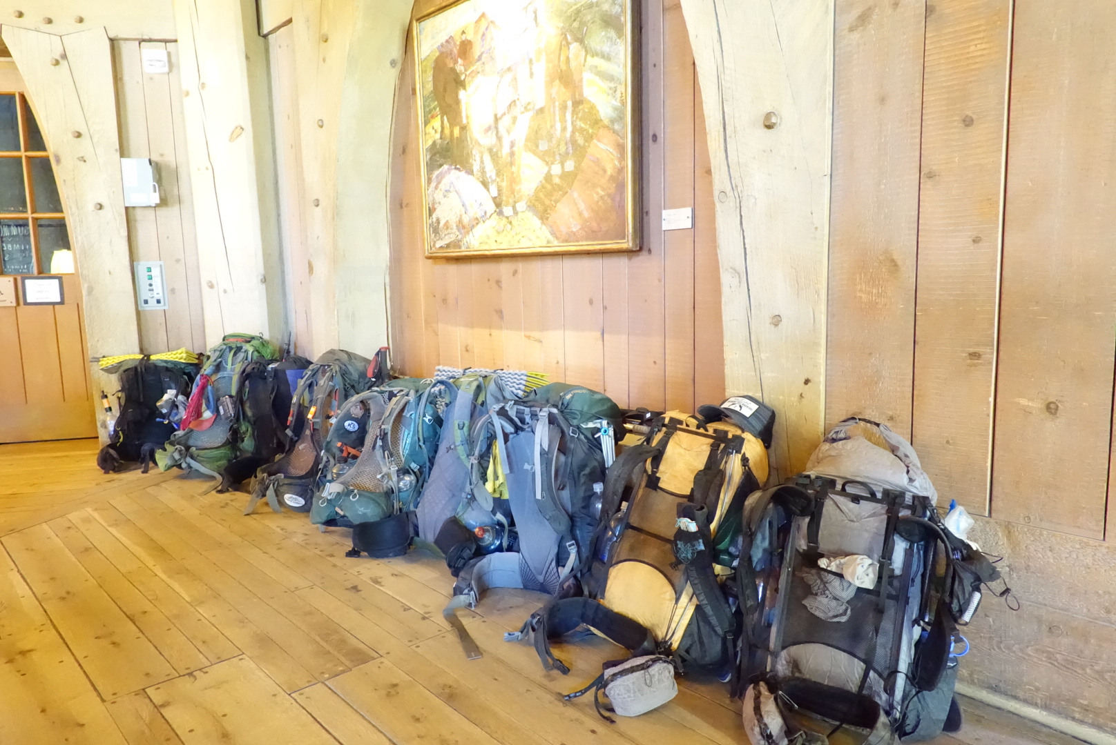
I wasn't the only one to get stuck in the lodge

Nevertheless, I eventually got going. But not until 10:30.

image
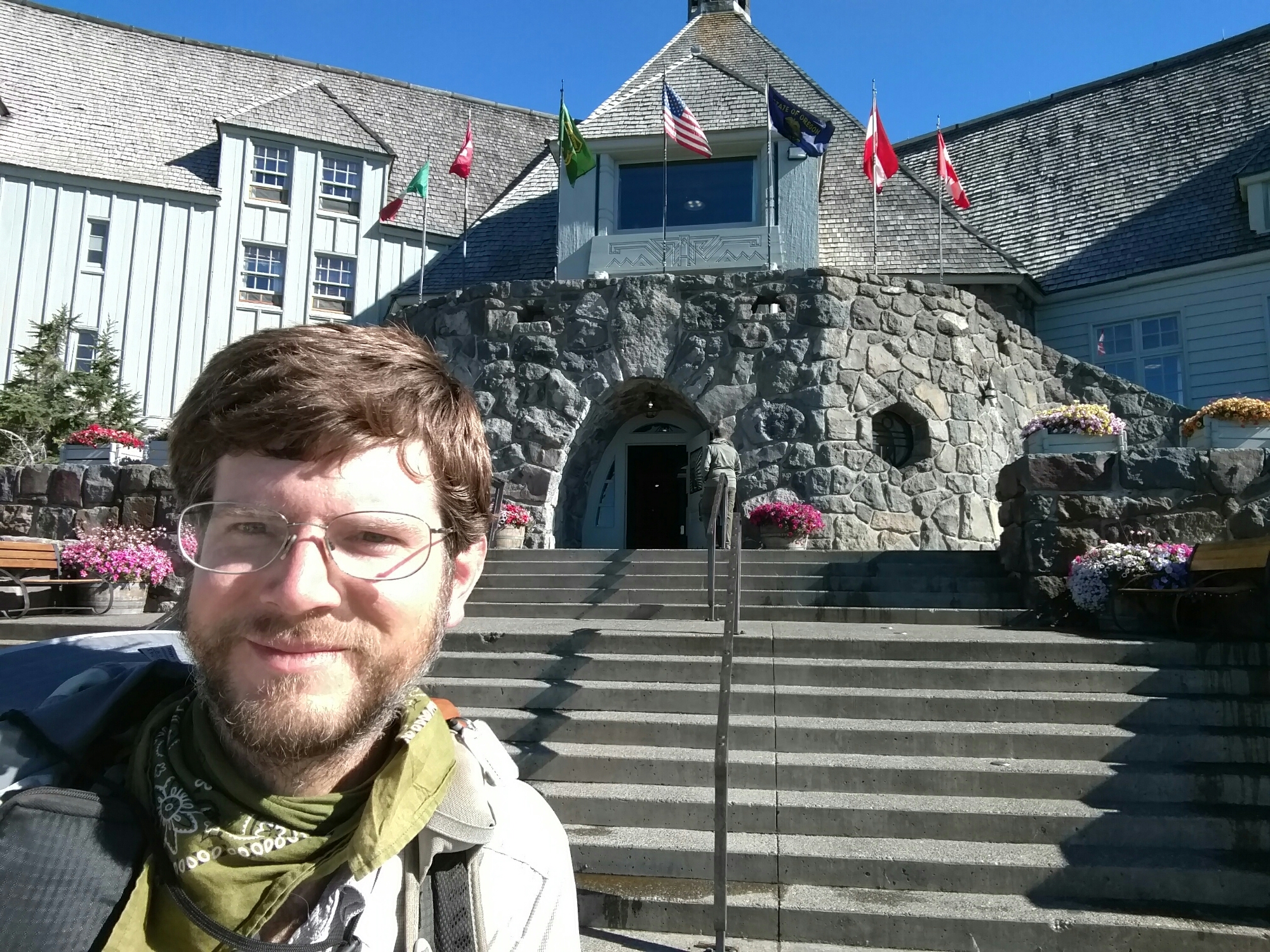
I wonder how they decided which flags to put up there?
image
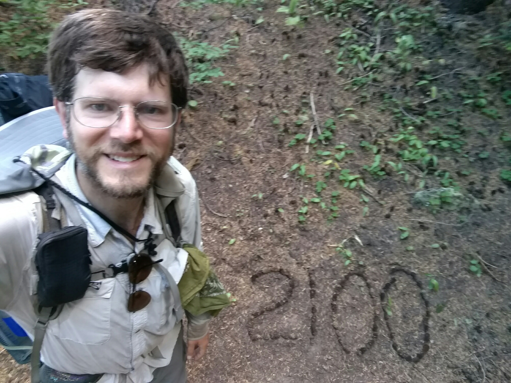
Soon, I passed the 2100-mile marker

Even though it was a weekday, the lodge was full, and there were many short-distance hikers on the trail. About 7 miles from the lodge, I ran into an exhausted, sweaty one-day backpacker.

“Is there any more uphill?” He panted.

I checked the Halfmile app. It showed 2200 more feet of climbing for him.
“Well, it goes up and down for a while,” I said.

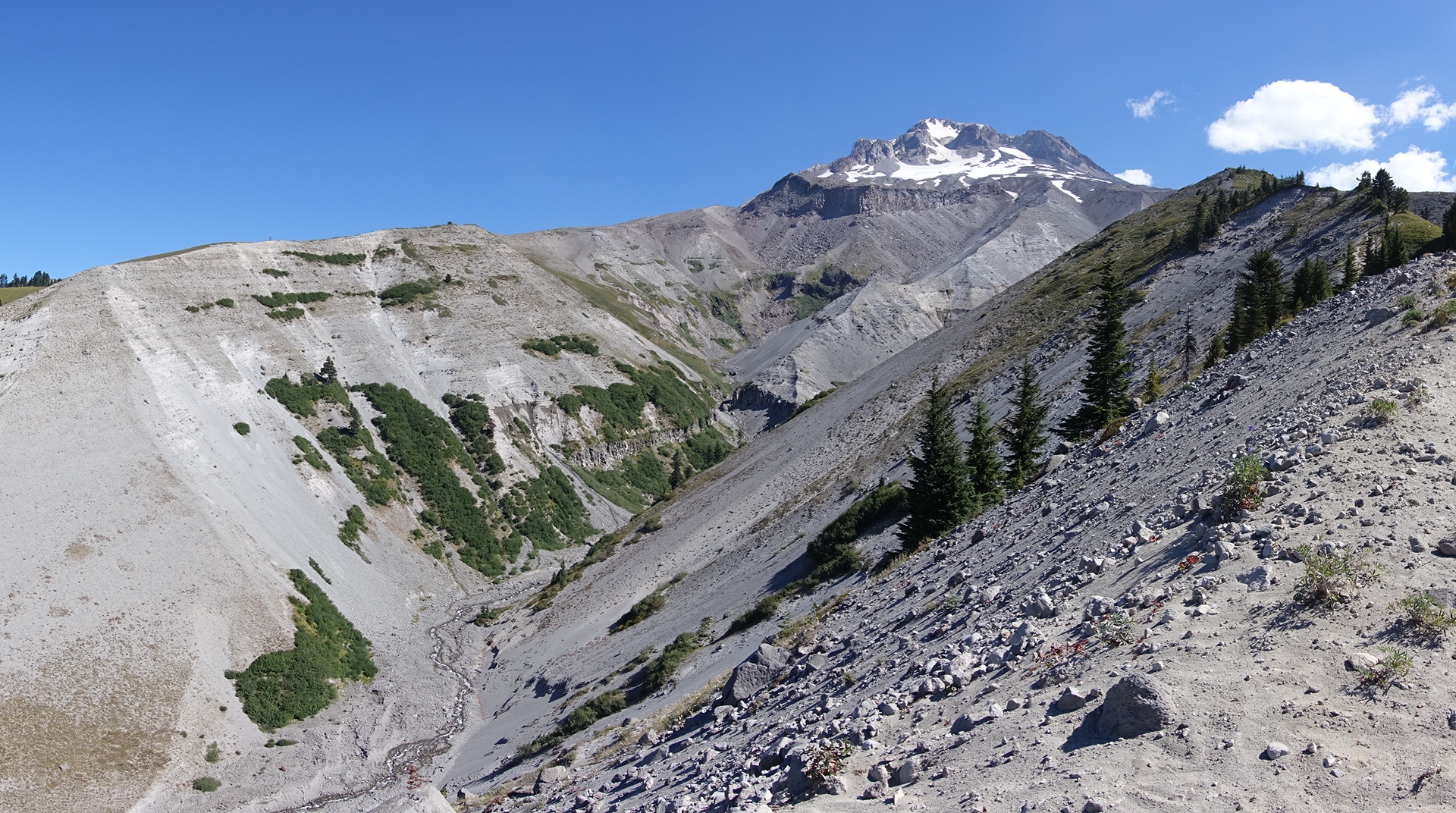
The trail was going up and down the ridges of Mt. Hood. This made for good scenery.

image

image
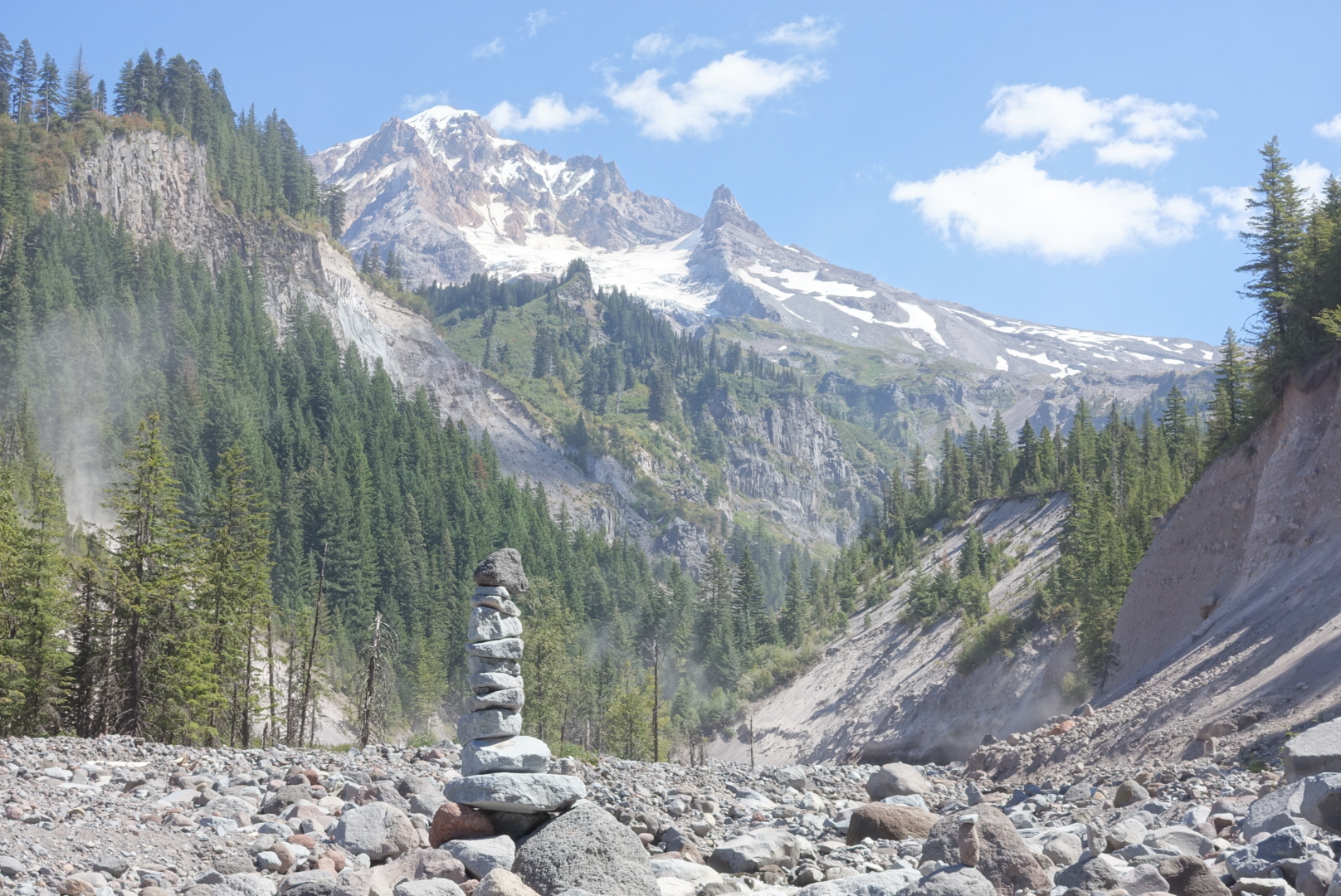
A cairn that marked the way across this rocky riverbed
image
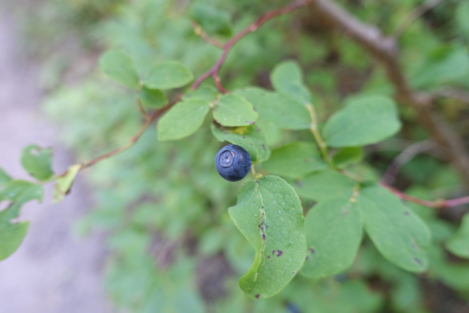
I'm starting to think these are huckleberries, not blueberries

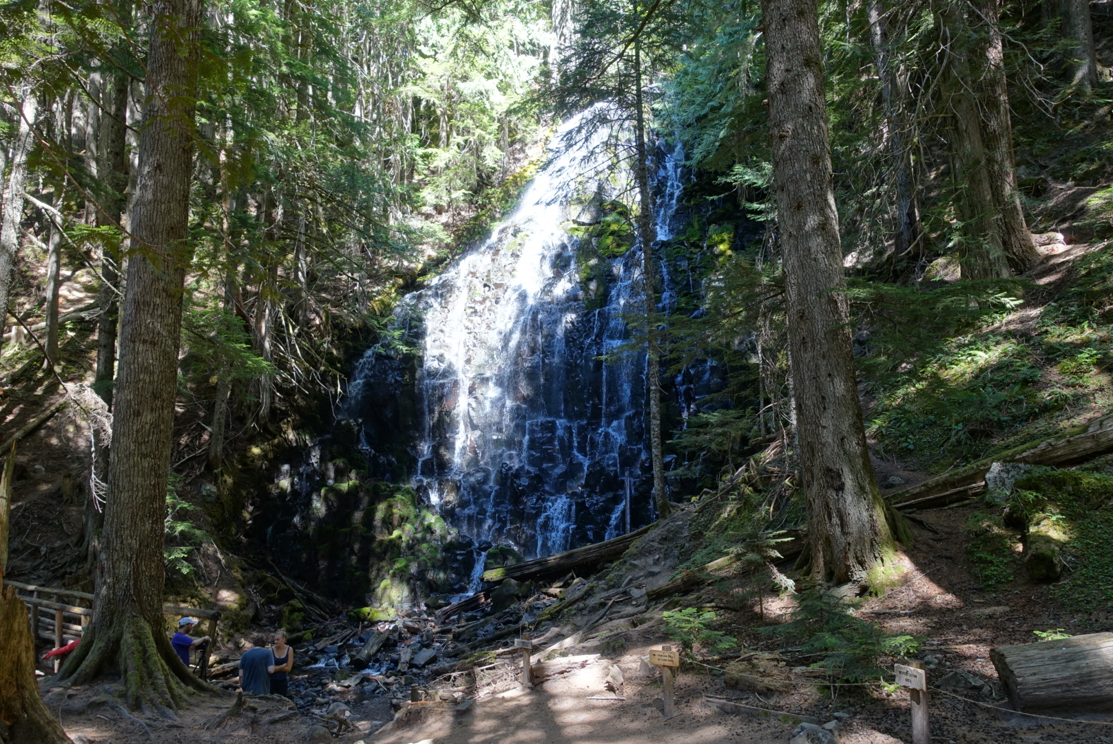
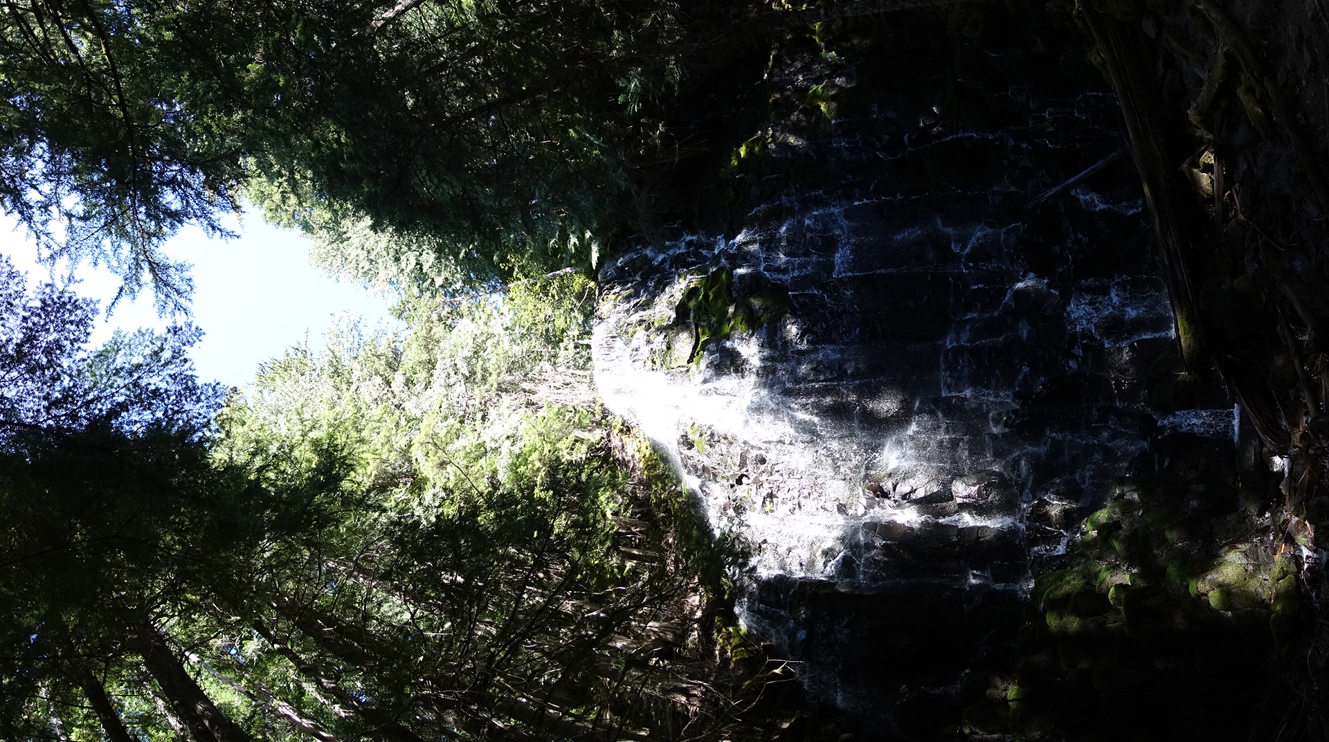
I took a small alternate to Ramona Falls, since it’s popular and doesn’t add any distance.

image

image

image
The trail leading south from Ramona Falls was lush and rainforest-like
image
Another river crossing today. This may become a thing again.

As I proceeded north, views of the other side of Mt. Hood appeared.

image

image
The northwest side of the mountain was not nearly so pristine
image
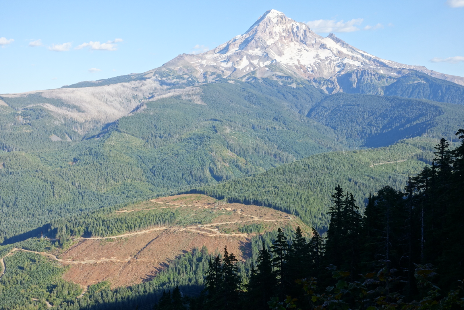
Clearcutting the foot of Mt. Hood

As it got dark, it got more and more obvious that I wouldn’t make 30 miles. The terrain here didn’t lend itself to dispersed camping (there were solid bushes everywhere), so I set up camp in 25 miles rather than 30. I’d have to do 30 miles tomorrow and get into Cascade Locks late.

There was another hiker, Tank, already making camp there. We chatted about the upcoming trail. He didn’t seem concerned about getting to Cascade Locks early. It was only 20 miles, he said.

I looked back at the Eagle Creek Alternate’s distance. It subtracted 5 miles, not added. I’d have no trouble getting to Cascade Locks on time.

image
45.48893, -121.85873