Etna to CS1613 – 8-1

We had a nice slow morning in Etna. Bob’s Ranch House served me a pleasant breakfast of poached eggs, rye toast, cut fruit, pancakes, coffee, and of course a chocolate milkshake. Elizabeth had their cinnamon bun, which was the size of her plate, and was soft, flaky, and buttery.

After laundry and a few other tasks, we walked through town over to the hostel, to try to hitch to the trailhead.
image
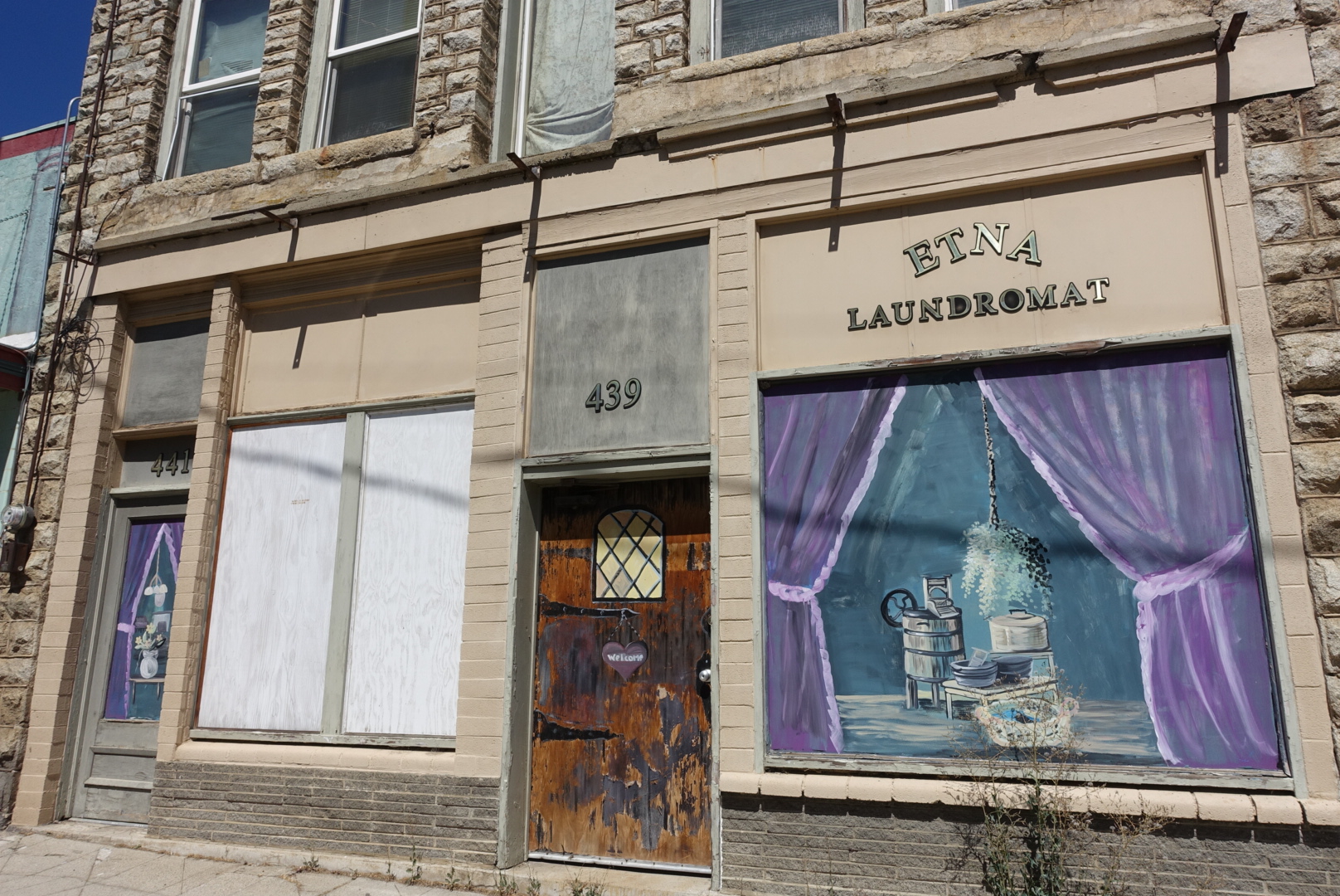
Many of the downtown buildings have murals on them. Note that the laundromat's door, here, is really of ordinary construction, but with a mural on top.

Hitching looked easy at first. The first car that drove by stopped and apologized to us for not being able to pick us up.

But, after a few minutes of no rides, we decided to take the hostel’s $5 shuttle, and hoped aboard.

image
The shuttle was the red one. The red one in the background.

We rode with a hiker called O.G., who had thru-hiked the PCT way back in 1981. About 30 people finished that year. I asked whether getting water in the desert was harder before the PCT Water Report. He told us that getting water was actually easier, partly because the trail was not complete, so many sections were road walks in developed land, and partly because California had more water back then.

We got back to the trailhead, thanked the driver, and continued our hike. O.G. was having back problems lifting his pack out of the truck bed, but he wouldn’t have help of any kind.

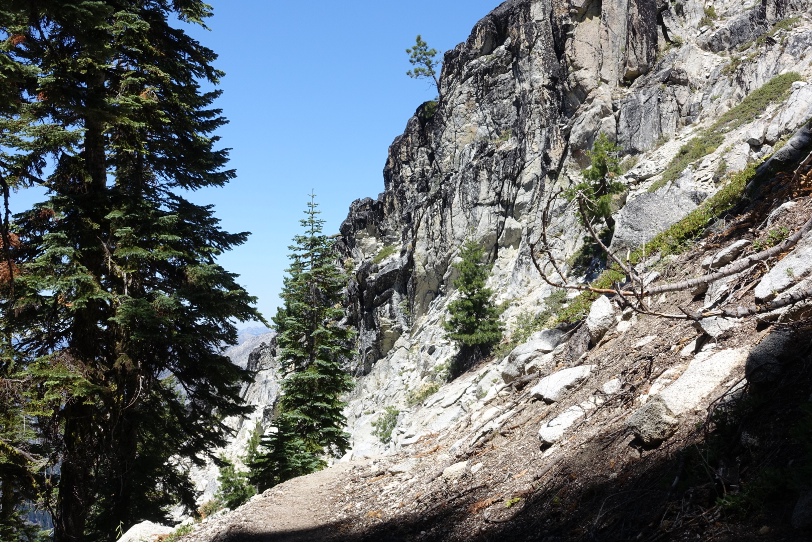
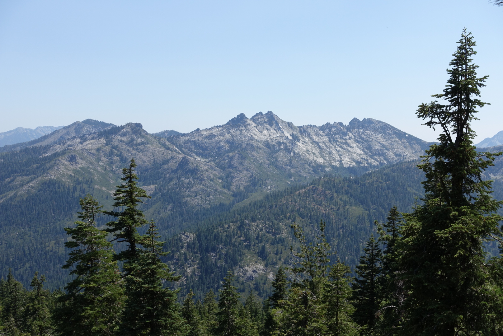
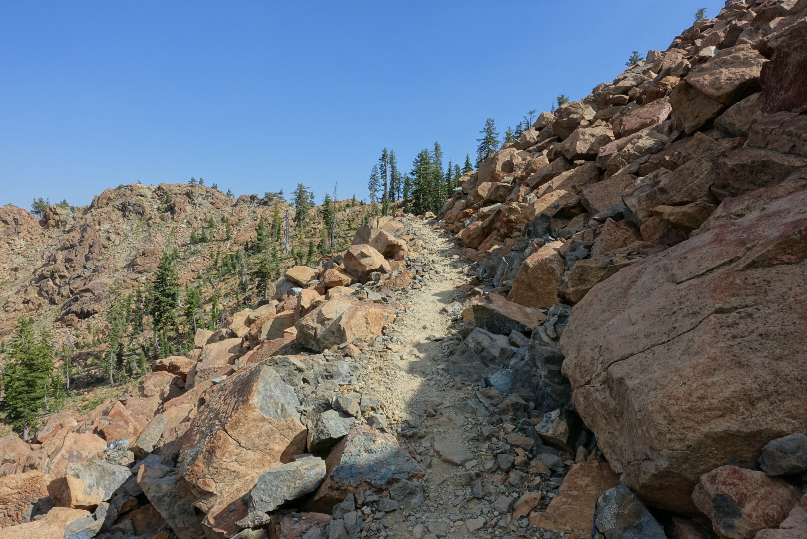
Back on the trail, we entered the Marble Mountain Wilderness, and the granite started to get dramatic again.

image
So many preserve boundaries on this hike

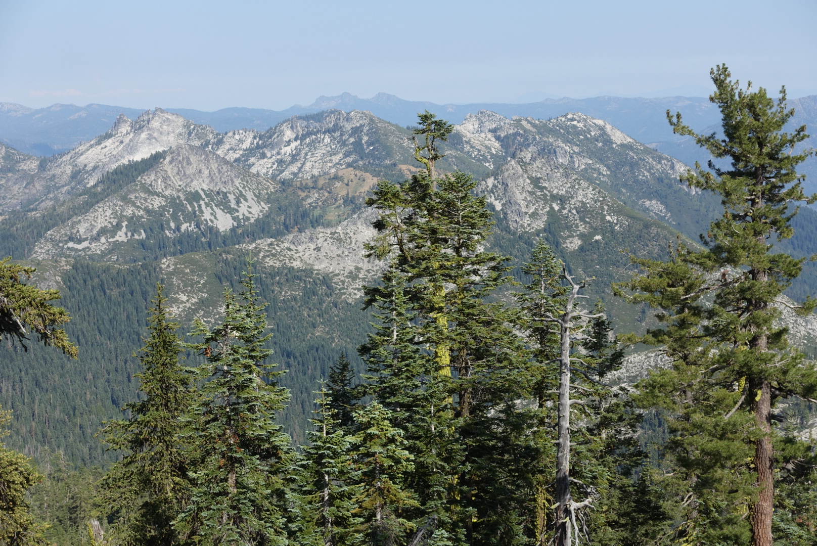
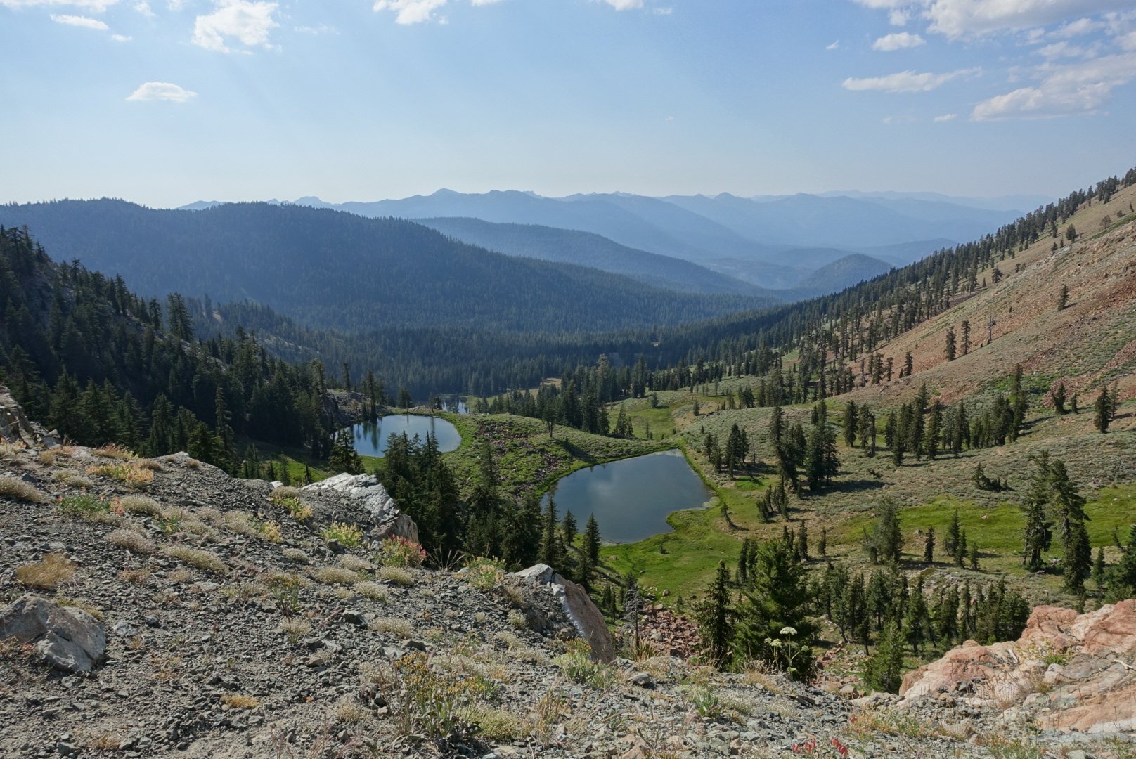
The terrain here reminds me a bit of the Sierras, but with a bit more soil and consequently more trees. Which isn’t entirely a good thing — much of Yosemite’s drama comes from the bare granite faces. Here, trees obstruct much of the granite. Which is a different look.

image

image

image
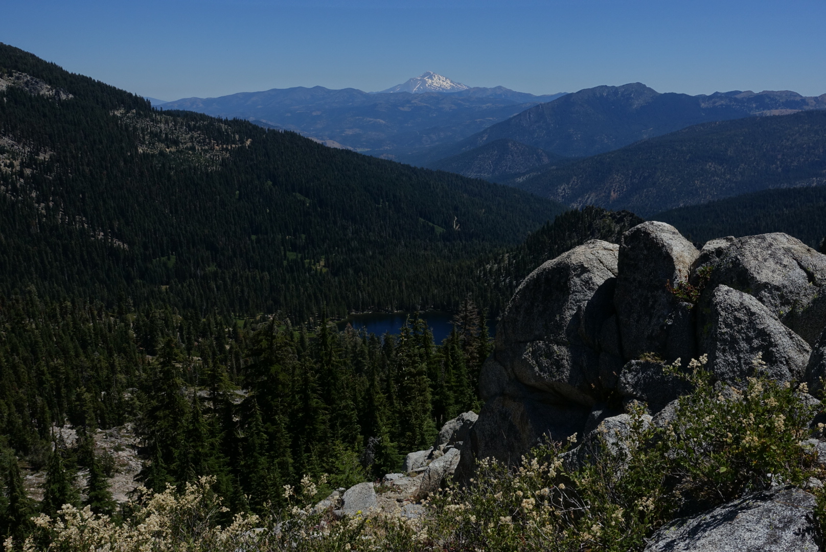
I didn't get it in the frame, but Mt. Shasta was still following us

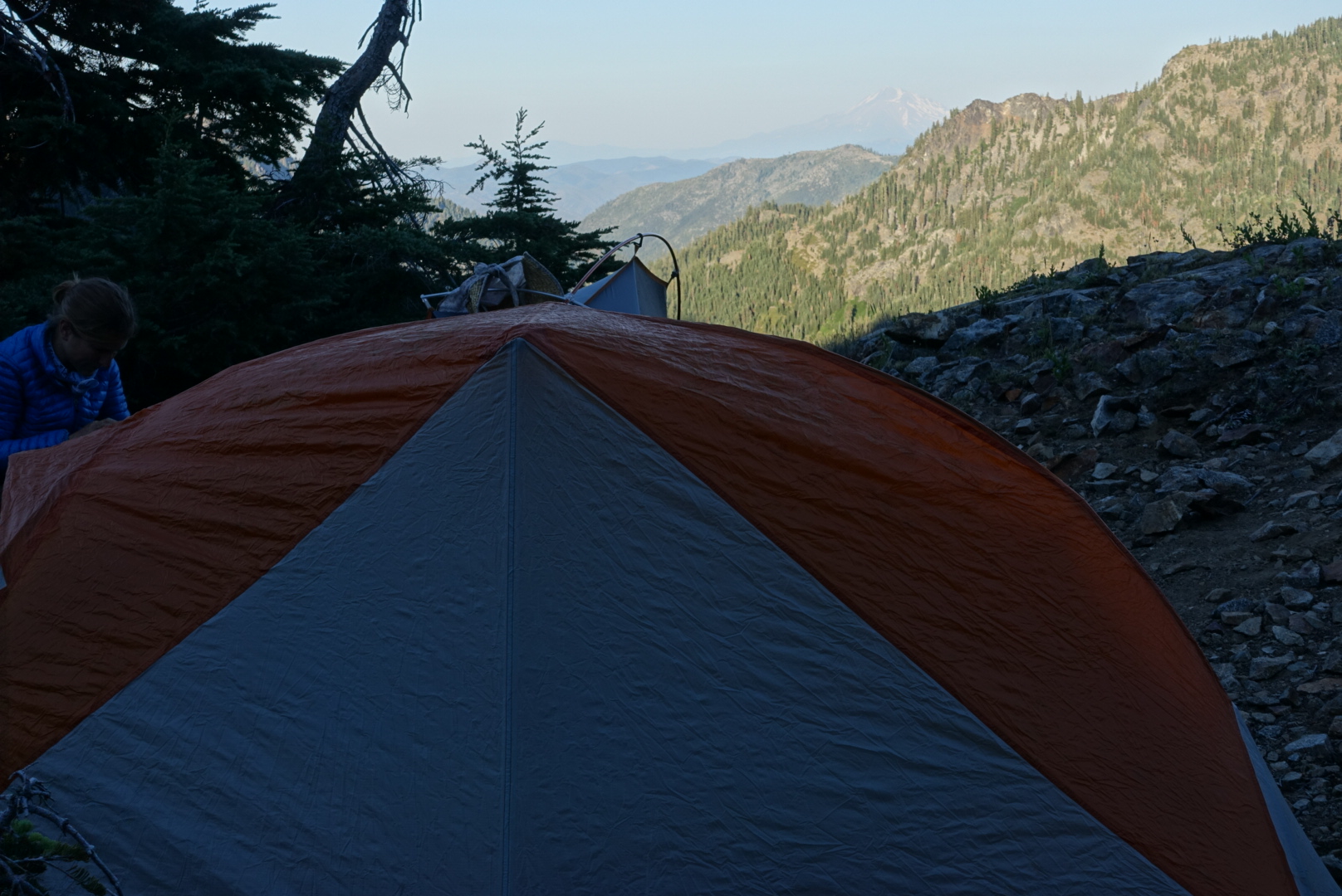
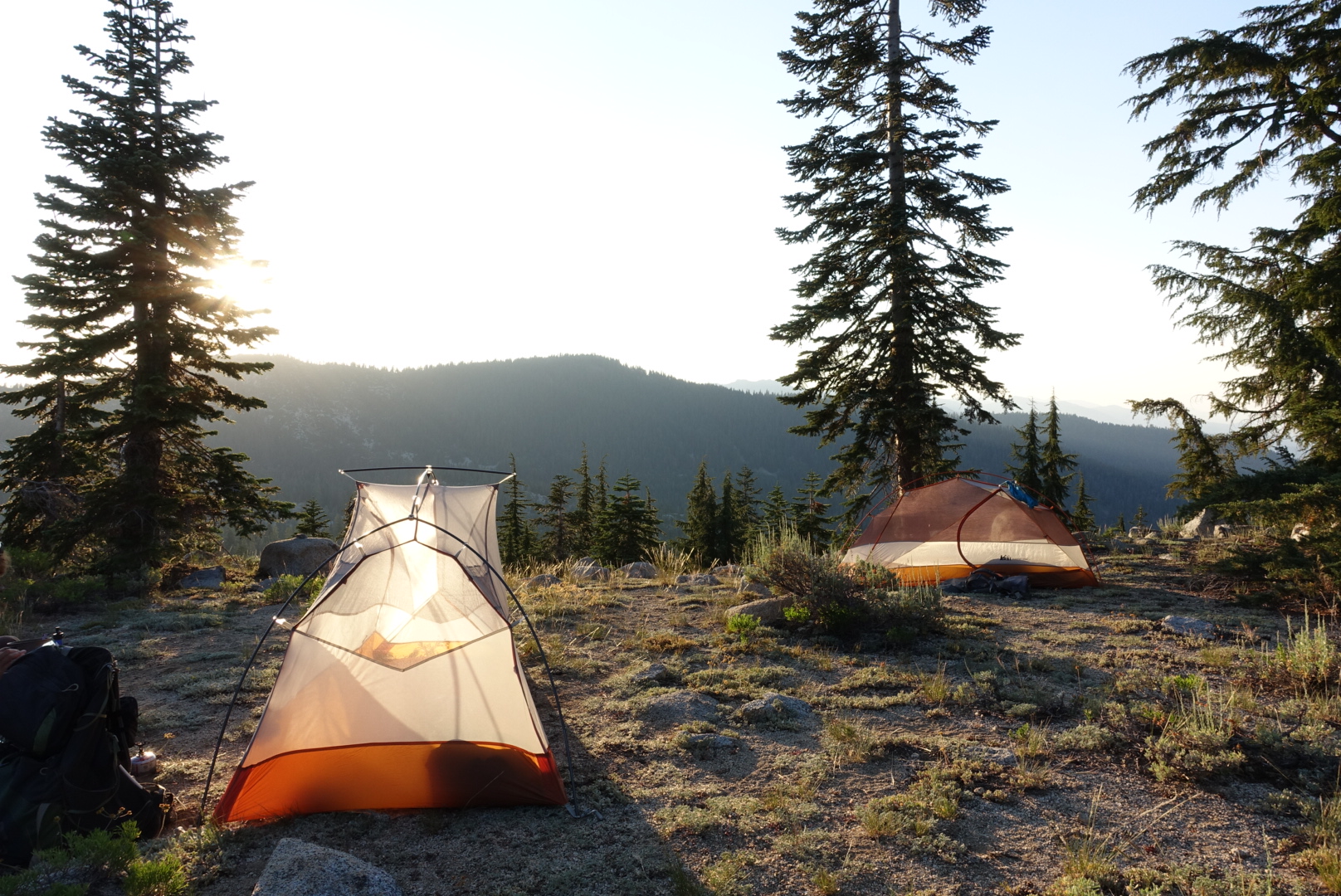
We pitched our tents in sight of Mt. Shasta, and went to sleep.

image

CS1571 to Etna – 7-31

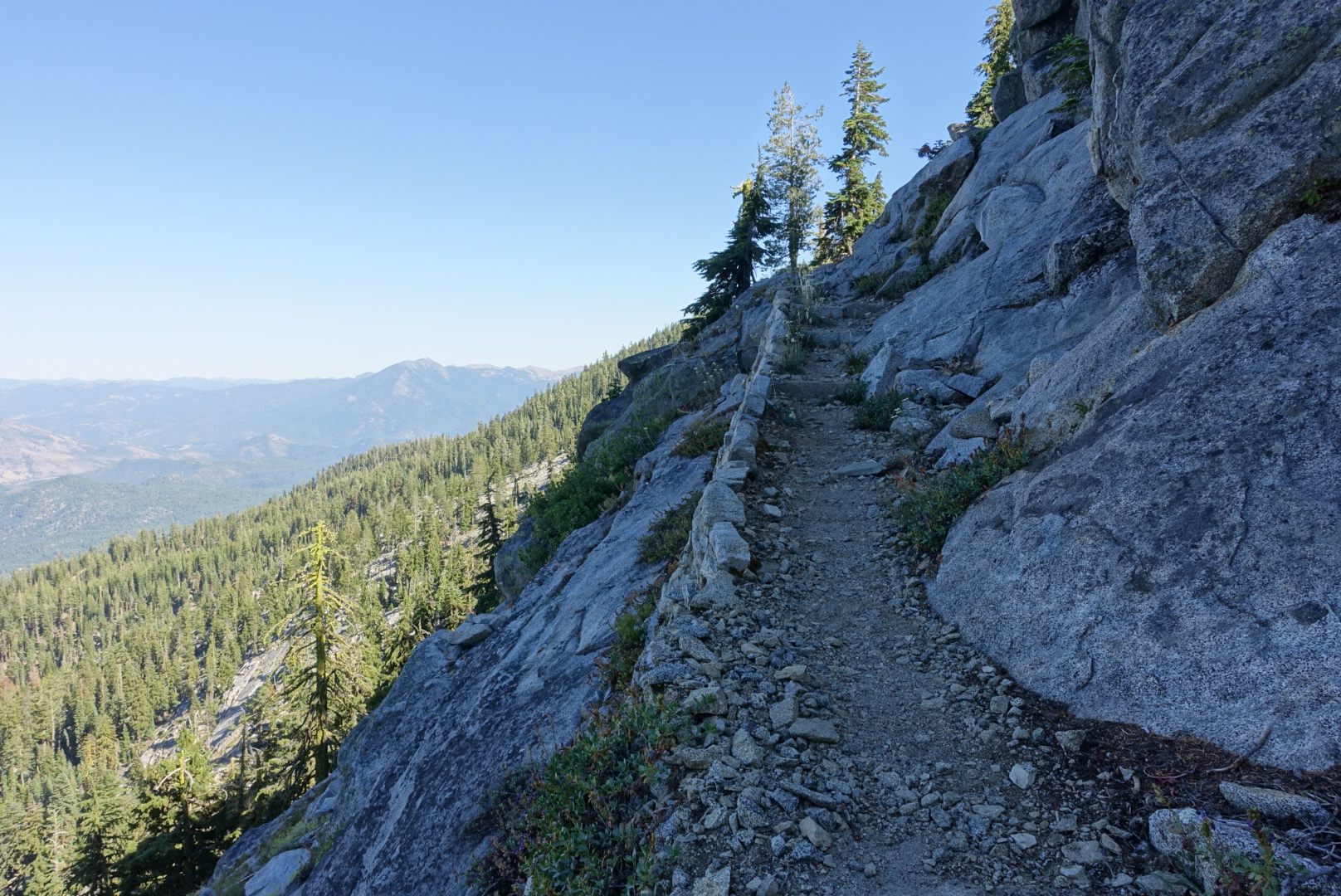
Today was another scenic day in the Trinity Alps. It got more and more like the Sierras the further we went, even right down to the trail construction techniques — there were stairs made of cobblestones, a very laborious construction technique. From the Russian Wilderness onward, we had huge granite bathiliths jutting out of the ground.

image
This is Carter Summit. Look closely enough, and you may see Jimmy Carter hiding in the woods!

image

image

image
Shasta was still following us...
image
Another regulatory boundary
image
The trail, heading towards a cliff with a crooked tree atop
image
Great panoramas just minutes after entering the Russian Wilderness

image

image

image
Shasta's still there... Must be a big mountain.
image
Yosemite-like trail construction
image
A windbreak at a scenic (but windy) tentsite
image
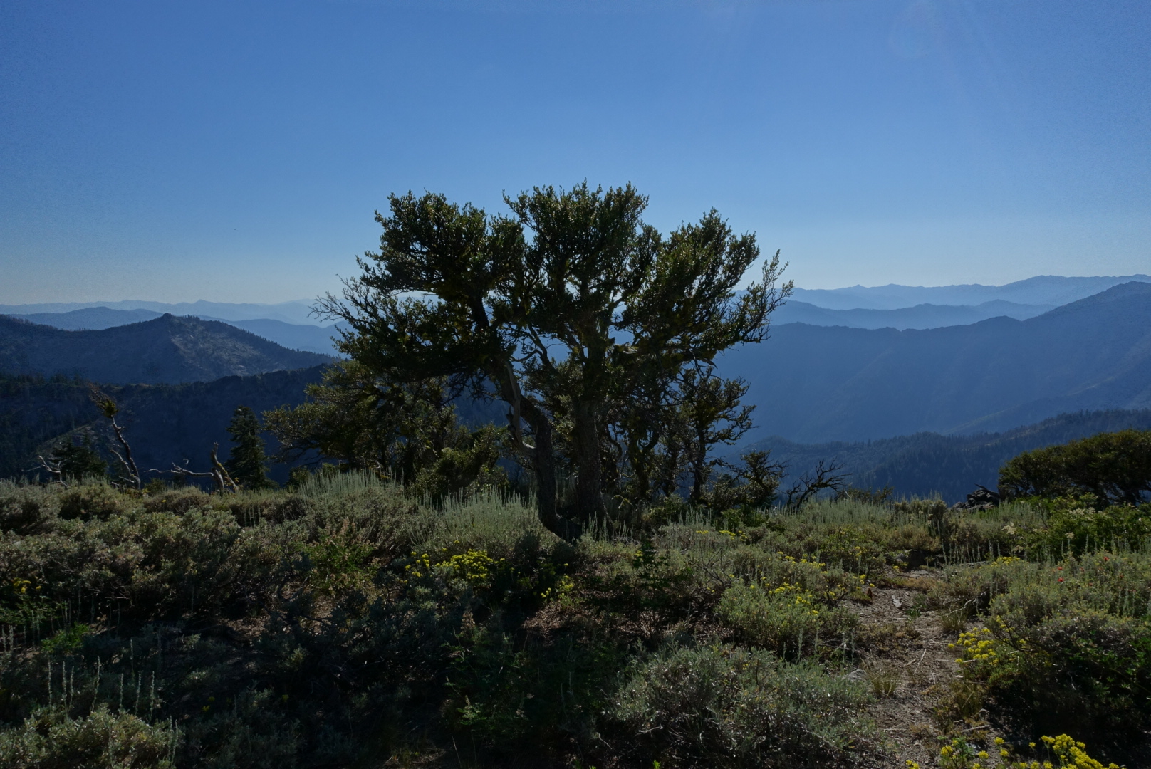
Layers and layers of mountains in the distance
image
The descent towards the highway to Etna still looked remote. The highway is only minutes away here.

Etna is a small town, and the road we hitched from was not busy, so it took almost an hour for a car to stop.

By the time we got a hitch, there were 5 hikers waiting. But, our ride was Phoenix, a trail angel, who let us all ride in the back of her seatless van, so we were all able to pile in.

The ride was long, and this crowd of hikers had many stories. Tuxedo the Clown (who got his name because he is, in fact, a professional clown) told us about the time a hitch took him to a ranch and made him install a cupola. The ranch owner apparently also sang a few bars of a country opera he was working on, about a cowboy and Jesus. The refrain was “It’s easy to be a cowboy / You just have to dress there part.”

Once in Etna, we were dropped off at Dotty’s Cafe, to get a quick dinner before it closed. It had run out of ice cream before we got there, and ran out of beer while we were there.

image
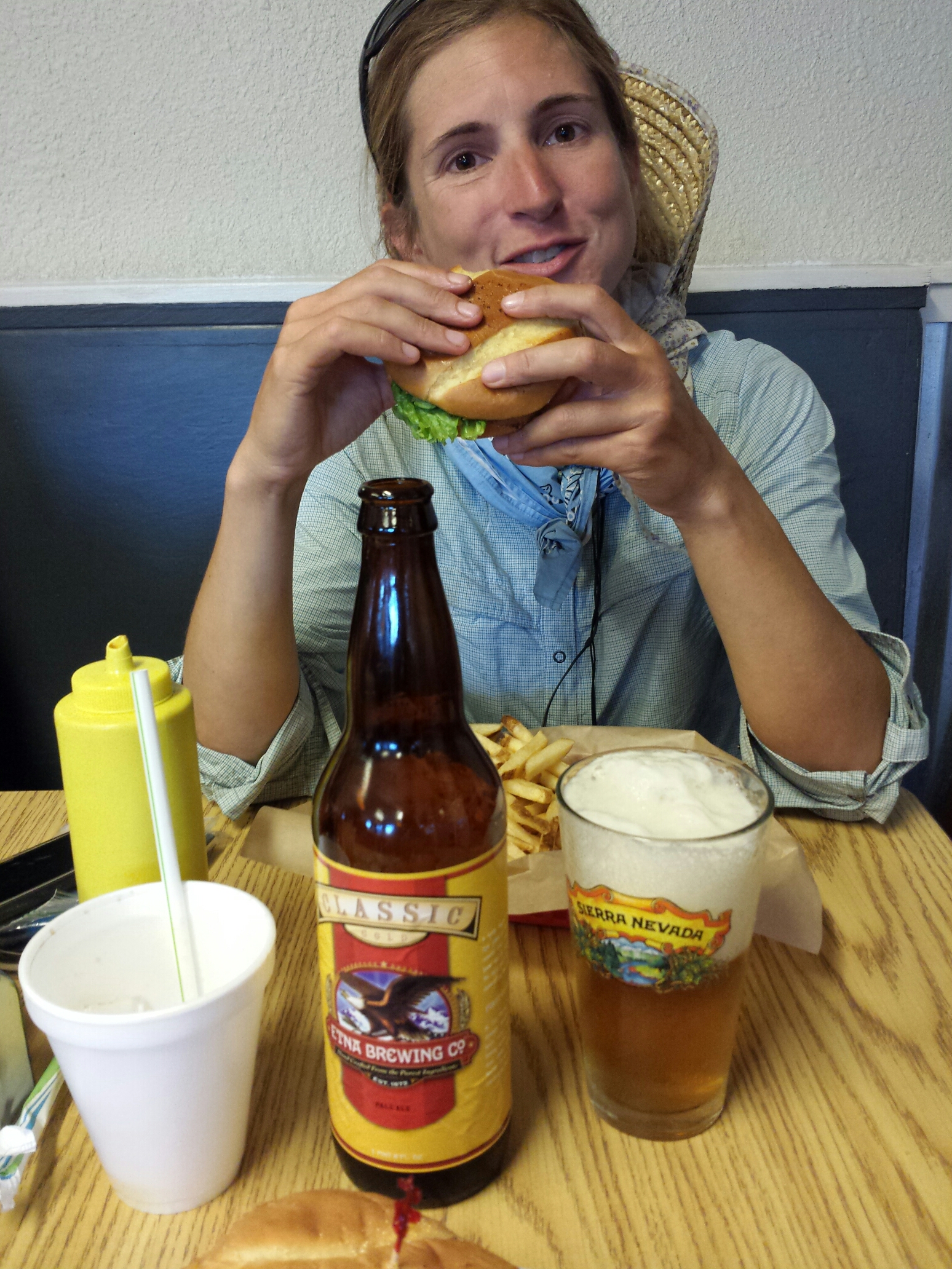
Elizabeth got the last beer in the building, a slightly skunky mild pale ale

After dinner, and a quick resupply at Dollar General, we started walking towards the hostel. It was a ways out, of town though. And it was still hot, and I had ice cream melting in my shopping bag. And we walled past the Motel Etna.

We checked the rates, and found that an air-conditioned room here was not much more than the hostel was charging to pitch a tent in their yard and share one shower among a dozen hikers.

So we got beds, showers, laundry, refrigerated ice cream — everything.

Chilcoot Creek to CS1571 – 7-30

I woke up extra early this morning. My back was hurting. It seemed to hurt when I relaxed on my back — the moment I tensed up to move it would go away. Hopefully this doesn’t keep up — I liked being able to sleep!

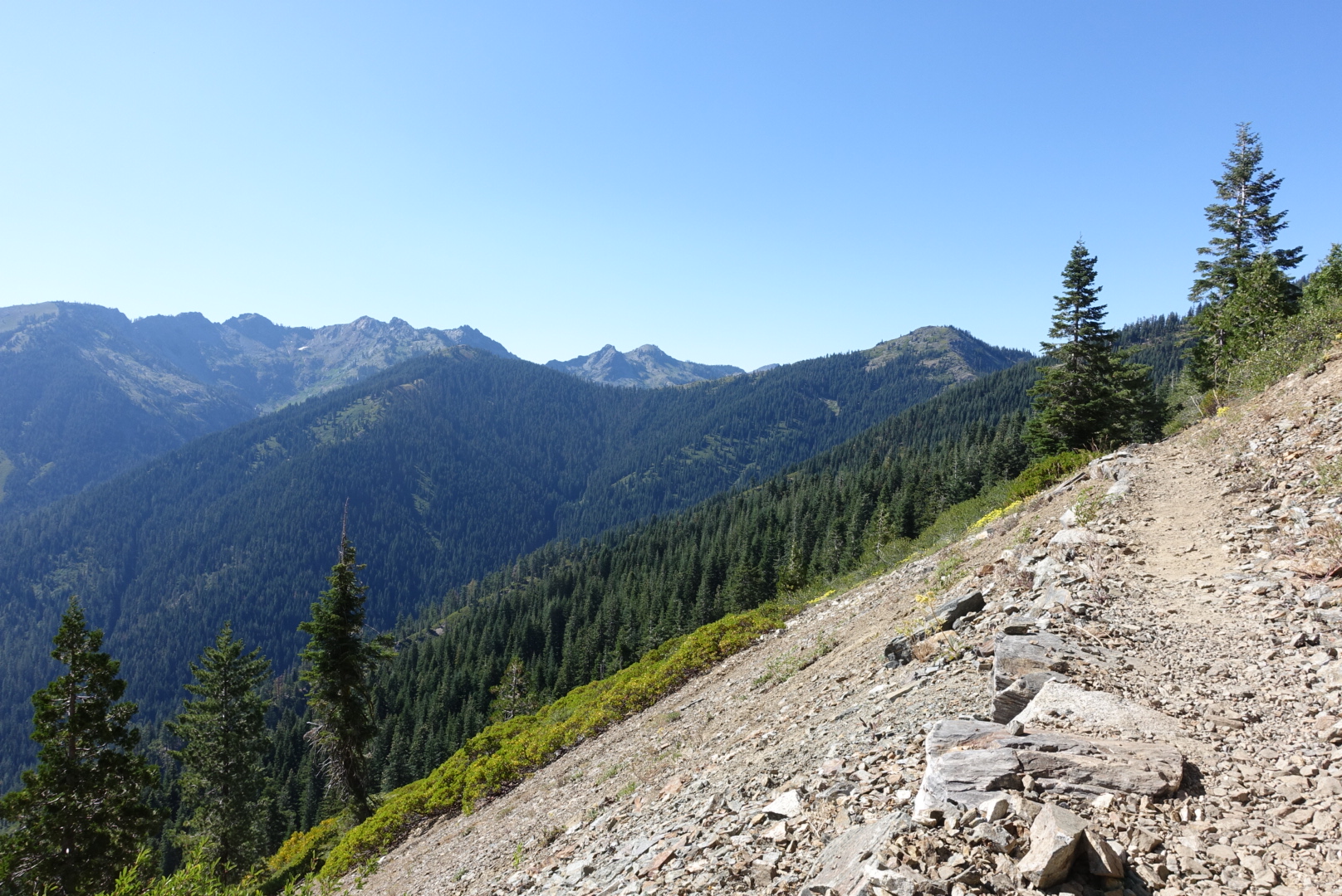
The day began with the same flat, boring terrain that characterized Northern California so far. We saw conifers, we saw rocks, we saw flat trail, we hiked over it.

image
If you look carefully, you can see the totally flat trail crossing the hill ahead. Also there are some conifers.

The highlight of the morning was seeing a rattlesnake. It rattled at us, and we walked by. Oddly enough, we’ve now seen more rattlesnakes in Northern California than we saw in the Southern California desert.

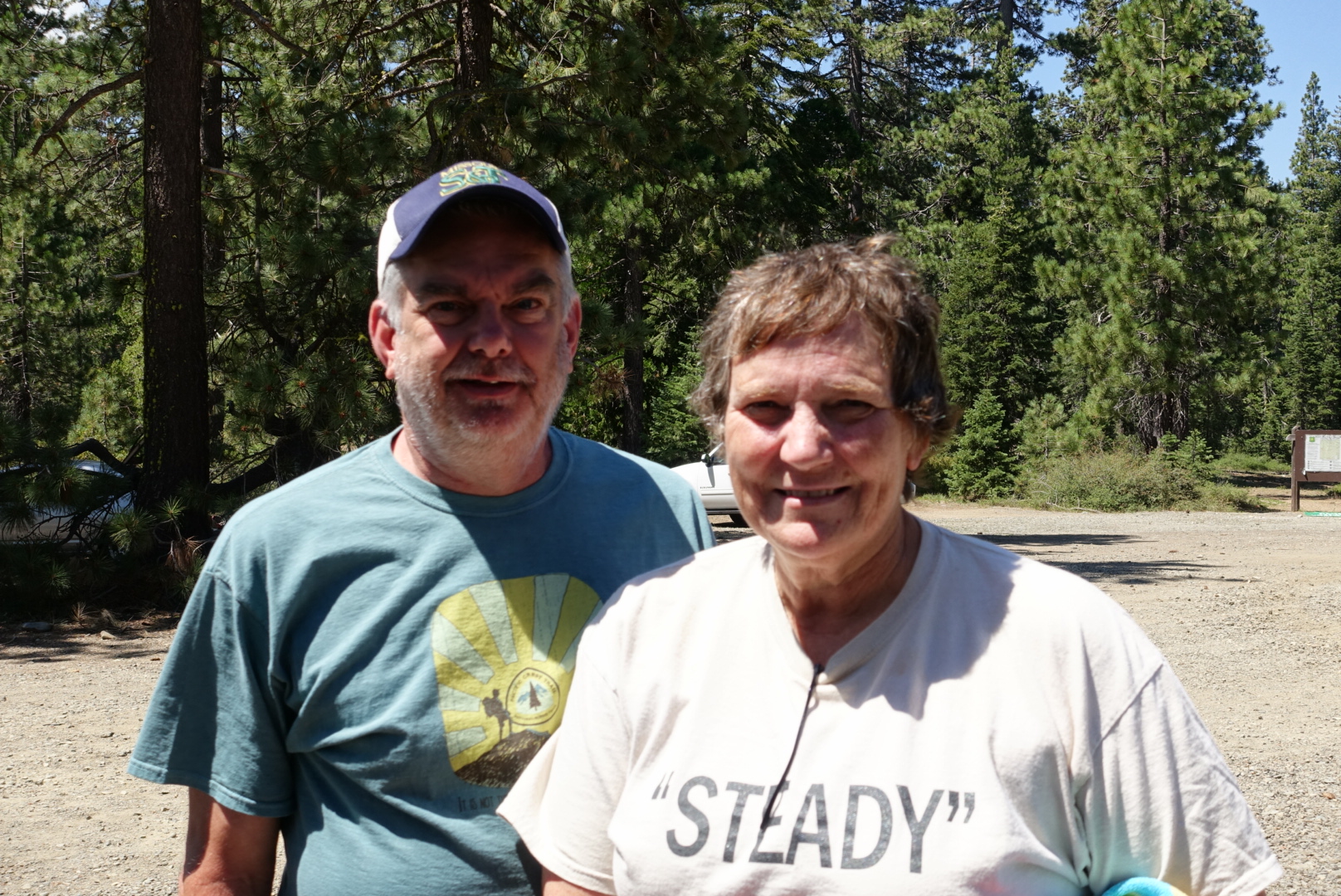
After a seemingly endless slog (actually about 14 miles), we got to a parking lot on Highway 3, and were welcomed by a couple of trail angels, John and Steady. Steady had done the PCT in 2003 – ancient history in PCT terms. There are probably 10 times as many people hiking this year than in 2003. They gave us soda, snacks, and candy, and we chatted about the PCT, past, present, and future. Hostess Sno Balls were apparently the snack of choice that year, and they handed then out. I didn’t get the appeal — it was like a tiny cupcake enshrouded in a thick layer of styrofoam — but perhaps food technology had advanced light years since then…

image
Steady managed to hike with a group of 4 for the majority of the hike

After lunch, we thanked them for their kindness, and headed up out of the parking lot, back into the Northern California doldrums.

image
Trees on a slope, with a flat trail -- welcome to Northern California

Soon, however, we crossed a boundary line that was good news.

image
No Shasta leylines involved

The Trinity Alps are known for being a beautiful, lesser-known part of the trail.

They started to pay off quite quickly.

image

image
Maybe our last chance to see Shasta?

image

image

image
I bet there's a great view up by that post
image
Yep
image
Even the trail name are more interesting --there must be a backstoty to that first trail's name

image

image

image
A sunset to brush teeth by