CS292 to CS318 – 5-25

I woke up cold. This was strange, because we hadn’t camped at a cold site. It was also strange that my sleeping pad was much softer than it had been the previous night. I probably had a puncture in my sleeping pad, small enough to leak slowly.

I re-inflated it, and took it down to the creek. After dipping different parts of my sleeping pad into the creek, I eventually found a spot that shot out tiny bubbles when submerged.

I hadn’t brought a patch kit, because I’ve used this pad for years with no problems, and it’s tougher material than most sleeping pads. So I tried sealing the leak with duck tape, but it wouldn’t adhere well to the sleeping pad’s textured material. With some pressing and rolling, the tape held, but I was not optimistic about its leak-stopping capabilities.

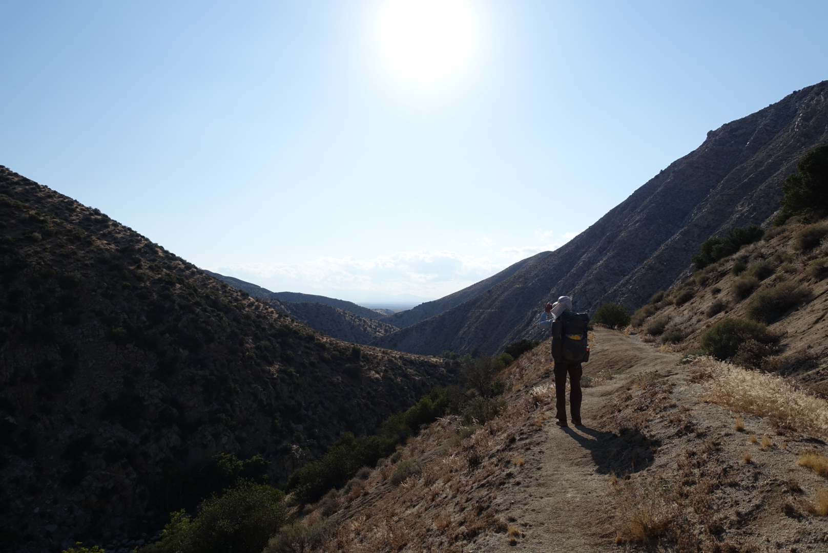
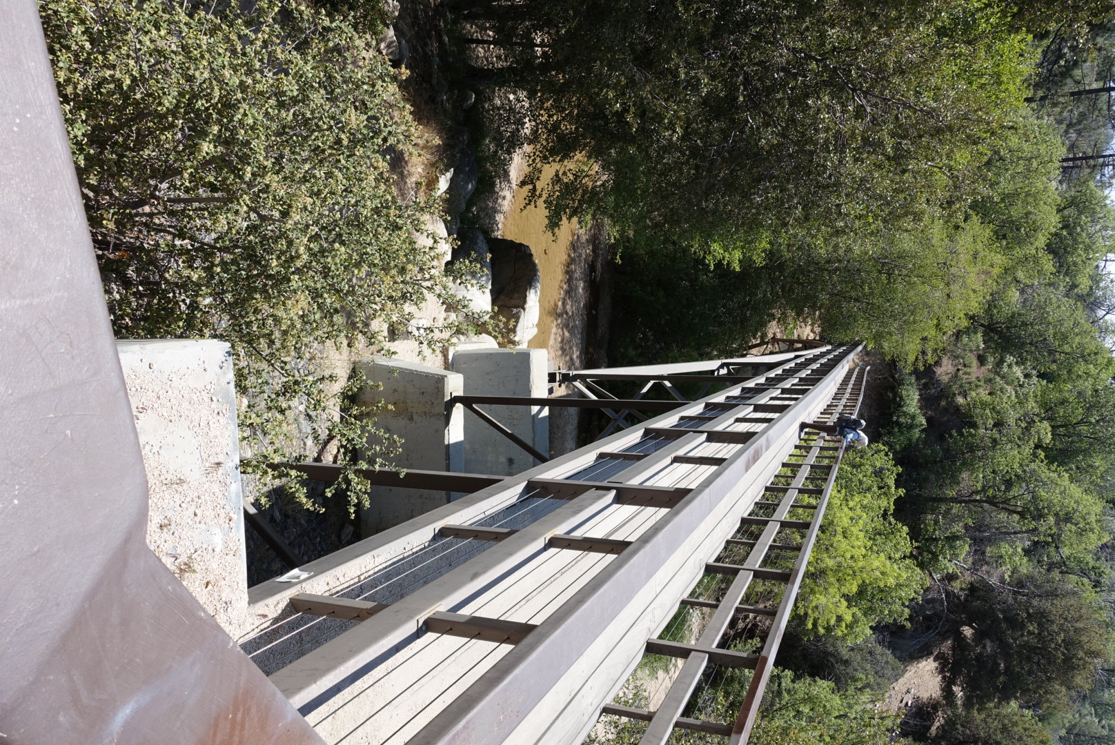
This morning, we walked along the valley wall of Deep Creek.
image
It was, indeed, deep.

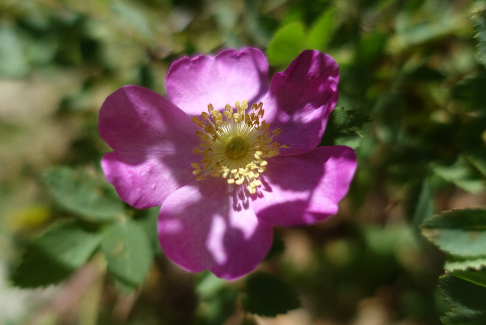
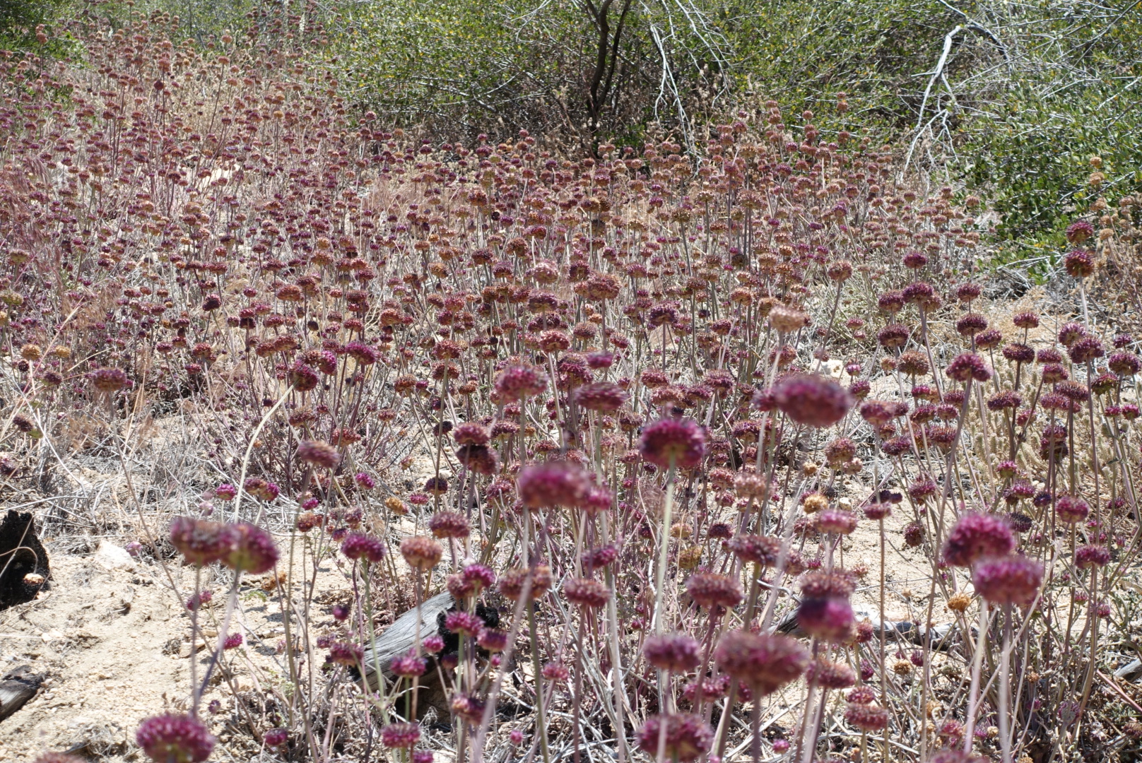
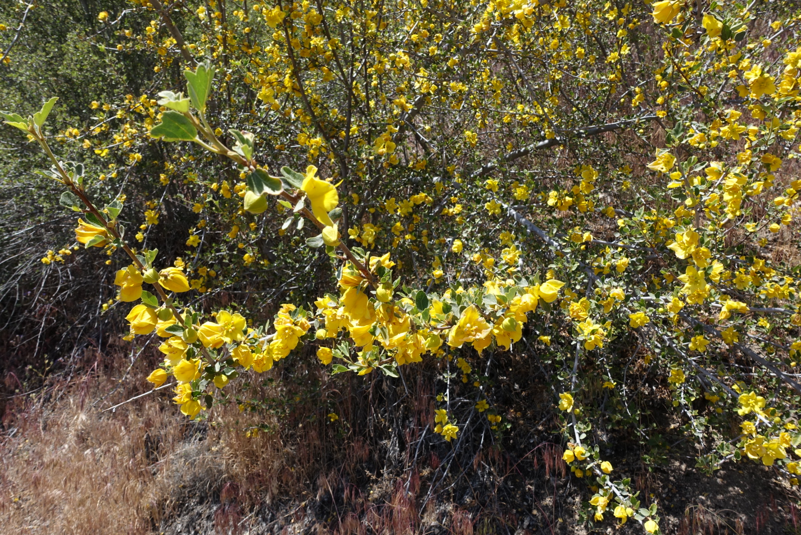
The valley walls were lined with many kinds of wildflowers.

image

image

image

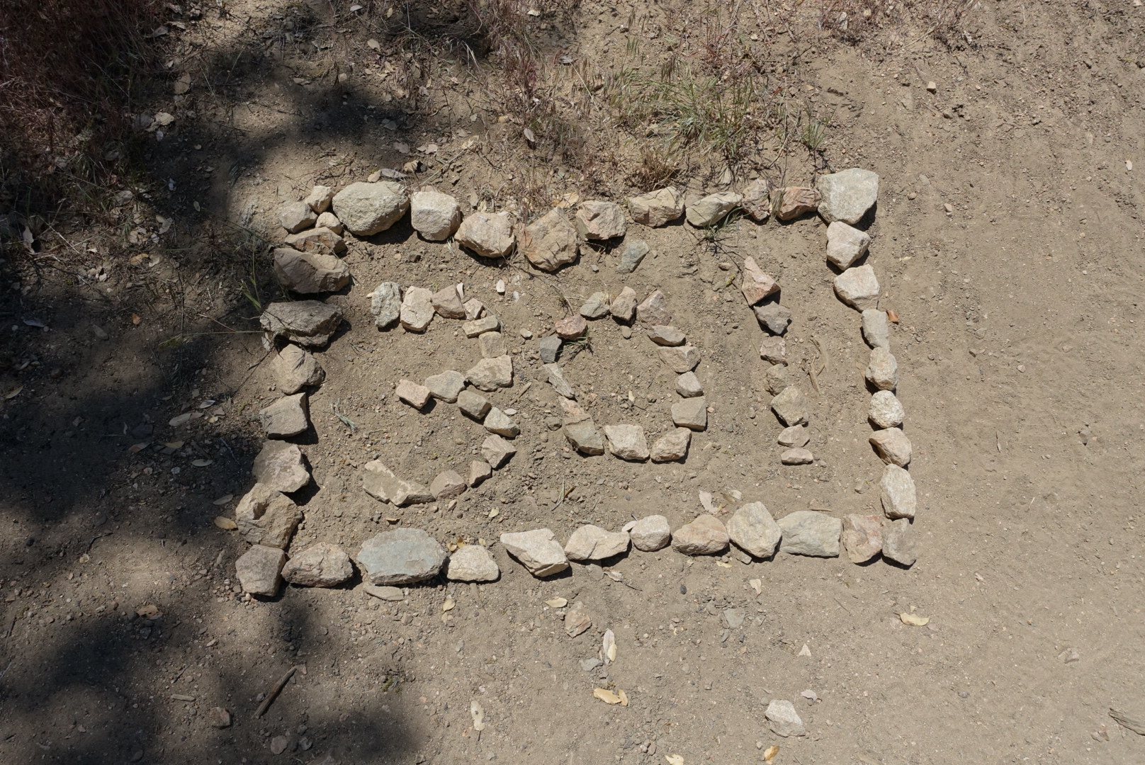
We missed the marker for mile 300, but for some reason, there was also a mile 301 marker.

image

We had lunch at a creekside with cool shade and bubbling rapids. While swatting away what I thought was a fly, I got my second bee sting ever – the last being about 29 years ago. I guess I’ll find out if I’m allergic now!

Deep Creek flows alongside Deep Creek Hot Springs, a hike-in-only natural hot springs popular with local twentysomethings, especially hippies.

It was busy when we got there, with dozens of people soaking and camping. Pan pipe music wafted up from the hot springs as we approached.

Elizabeth wanted to take a dip in the springs, but I didn’t, so I sat in the shade nearby and tried in vain to catch up on my blog.
image
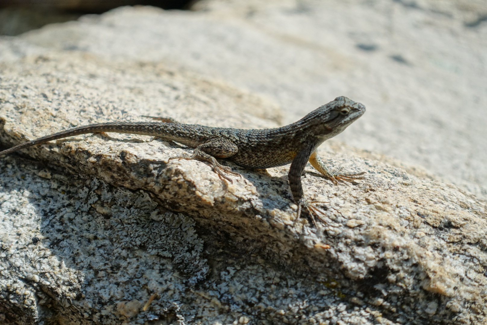
The local lizards watched me intently

We started to move on, and who should we run across but Wonky and Bill. We talked about cheese, and they said they didn’t want to go much further tonight, so we split up again.

The trail continued down the valley.
image
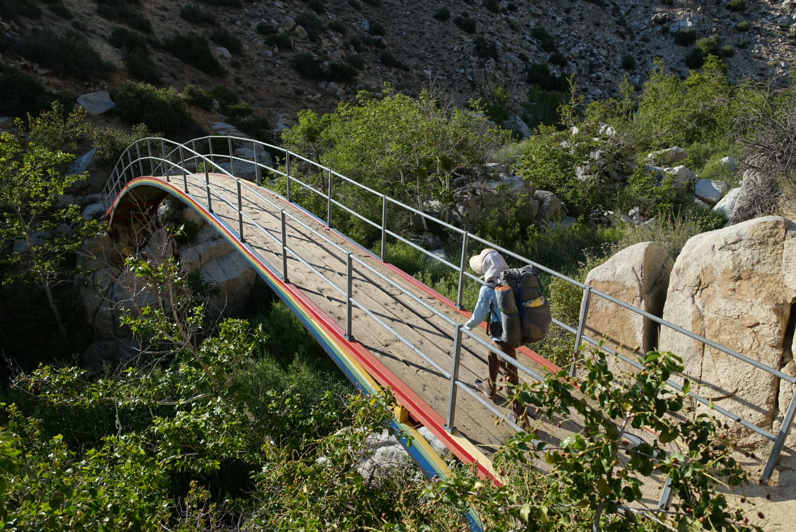
This bridge gives away the trail's 1970s construction date
image
The first view of the valley's end

I didn’t take pictures, but the trail has seen better days. There was graffiti on the rock faces for many miles. Someone had spackled over a great deal of the graffiti, but new graffiti was already appearing on top.

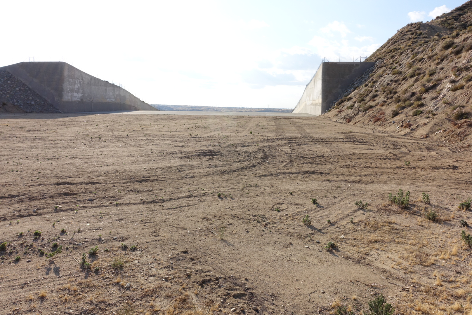
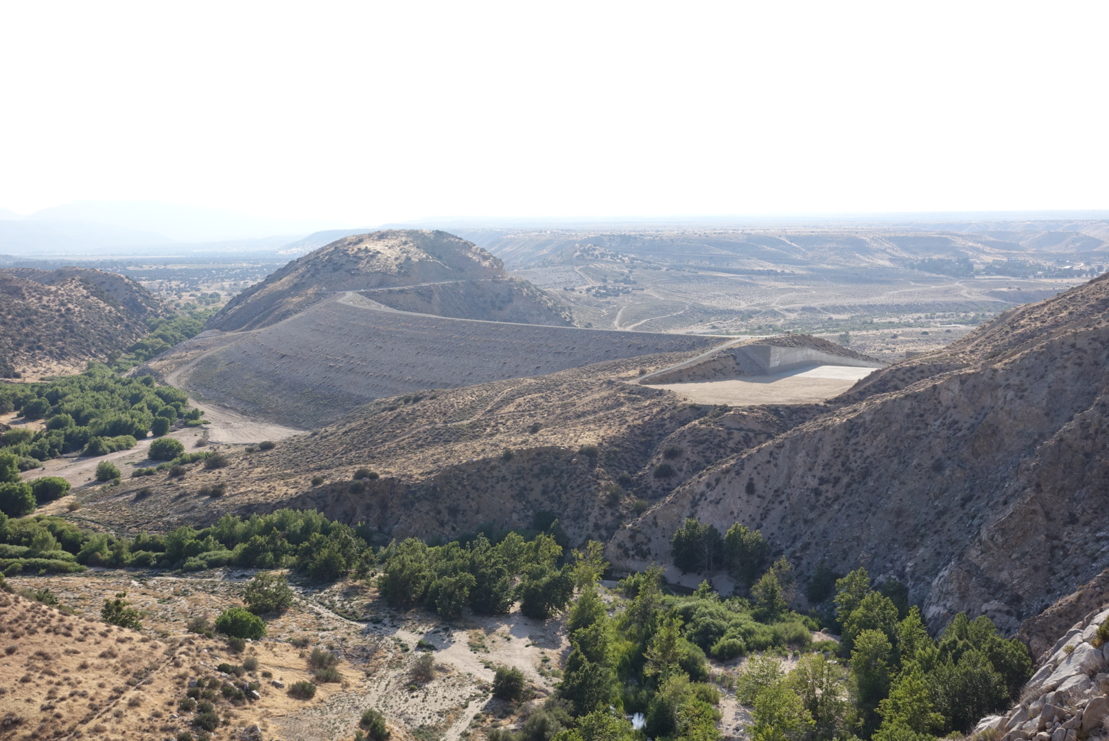
Eventually we escaped the valley, and found ourselves near the currently-dry Mojave River.
image
This dam is only useful in wetter years
image
This spillway is sometimes underwater, necessitating an alternate

We were nearly out of water, as we crossed a small stream. It didn’t look like the water would taste good, however, so we decided to skip it and wait for the next one.

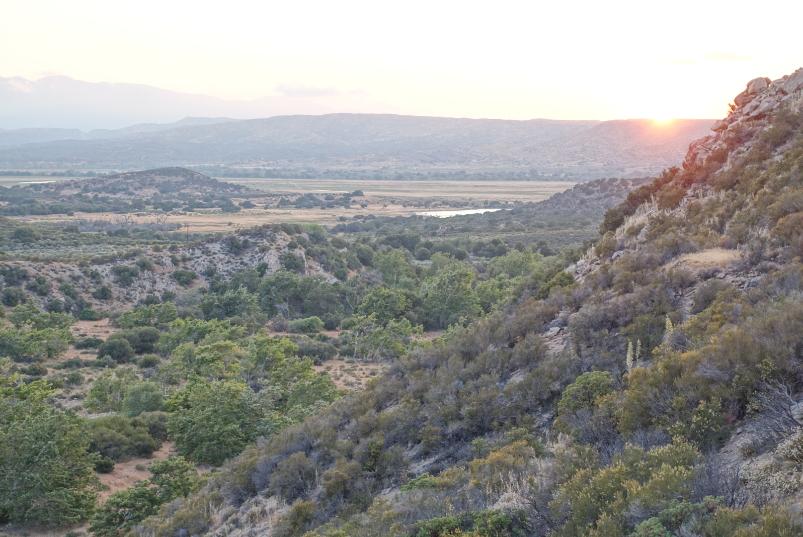
This was a mistake. It would only be about 5 miles, but I hadn’t realized how dehydrated I was. I started longingly at the water tanks walled off by “no trespassing” fences.
image
Maybe I can make a beeline to that pond...

When we finally got to the next water, it was covered in water skeeters and floating debris. I gave my water filter a workout, and drank greedily.

There were many people camped nearby, but we had come in fairly late, so we pitched our tents, and were soon fast asleep.
Big Bear Lake to CS292 – 5-24

We took an early morning shuttle from the hostel to the trail, frustrated we hadn’t gotten more done, but it was the only shuttle.

image
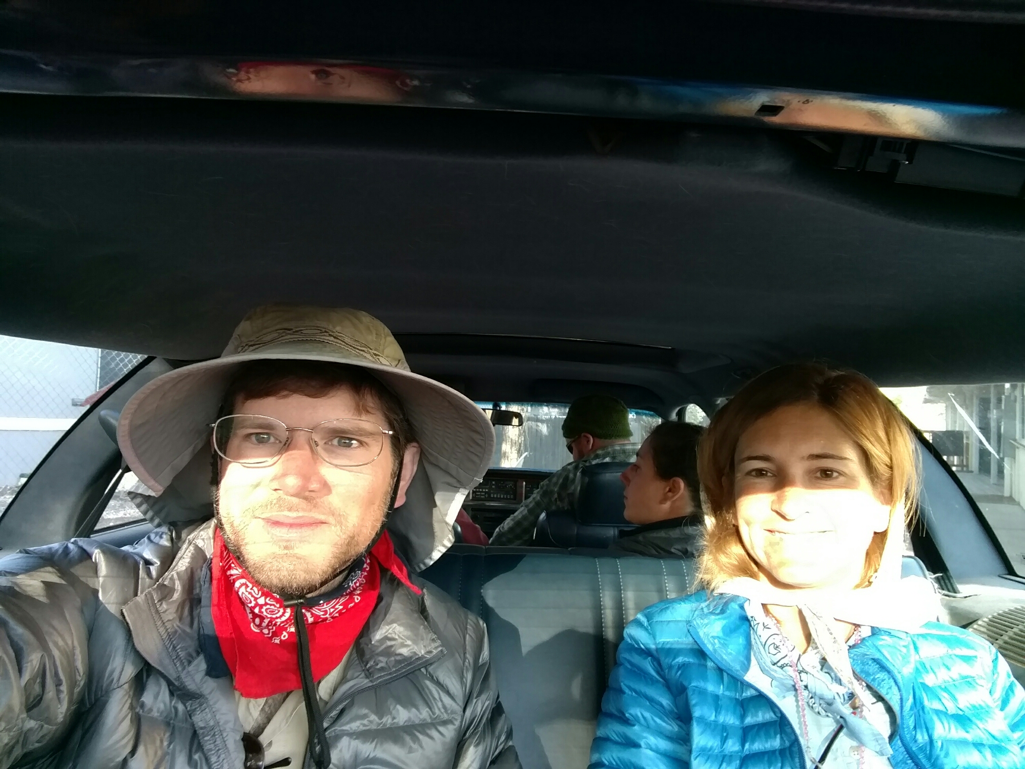
On the bright side, we got to ride the backwards-facing seat in the shuttle wagon

Back on the trail, we had a long, slow climb through drab pine trees, with intermittent views of a quarry. We passed a hiker carrying a huge pack, with a hatchet hanging off the side, and wearing blue jeans. He was having a while lot of trouble with the ascent.

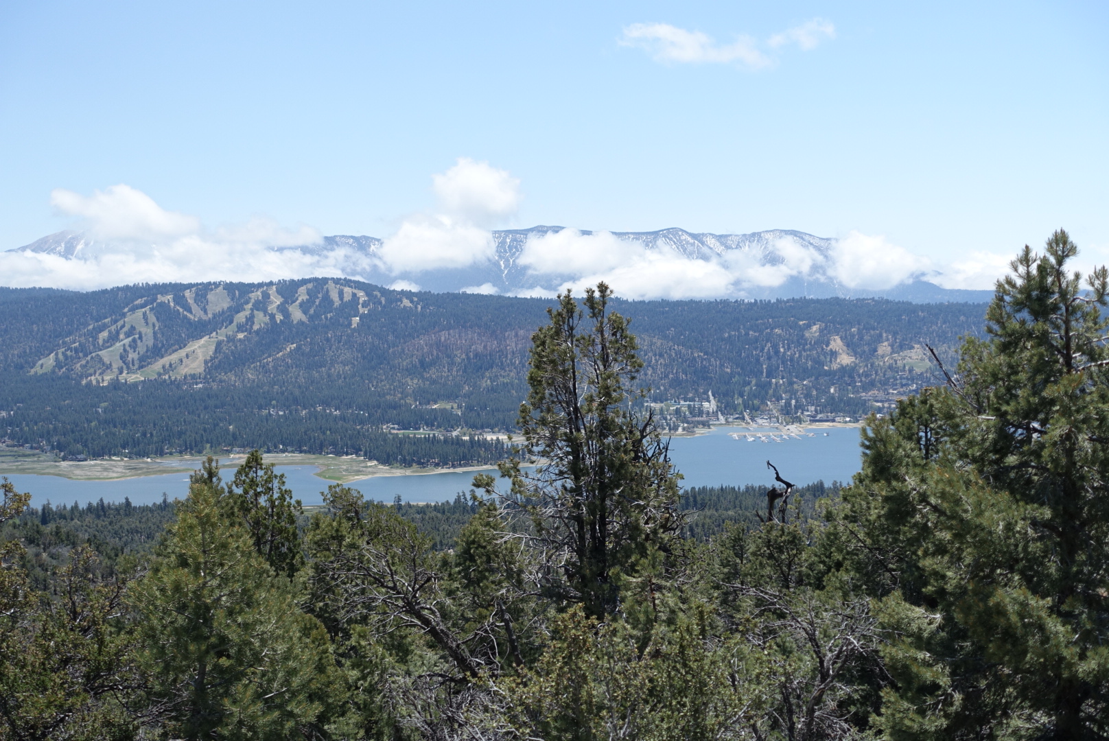
Soon after, we were suddenly greeted with postcard-views of Big Bear Lake.

image
But still no bears in sight

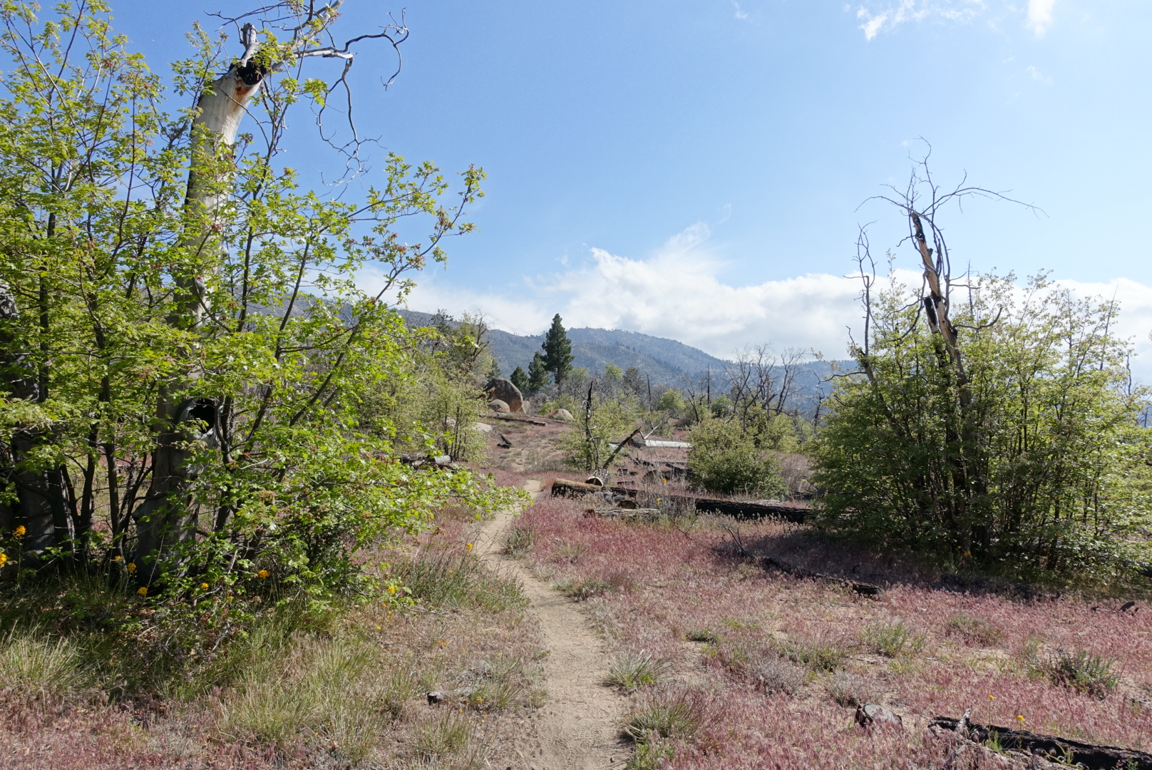
The scenery continued to improve. We entered an area that had burned, but which was well on its way to recovery. It had become red grass meadows punctuated with burnt-out oaks, with new growth sprouting in rings and around the old, just beginning to show delicate leaves.

image
The weather was perfect, too

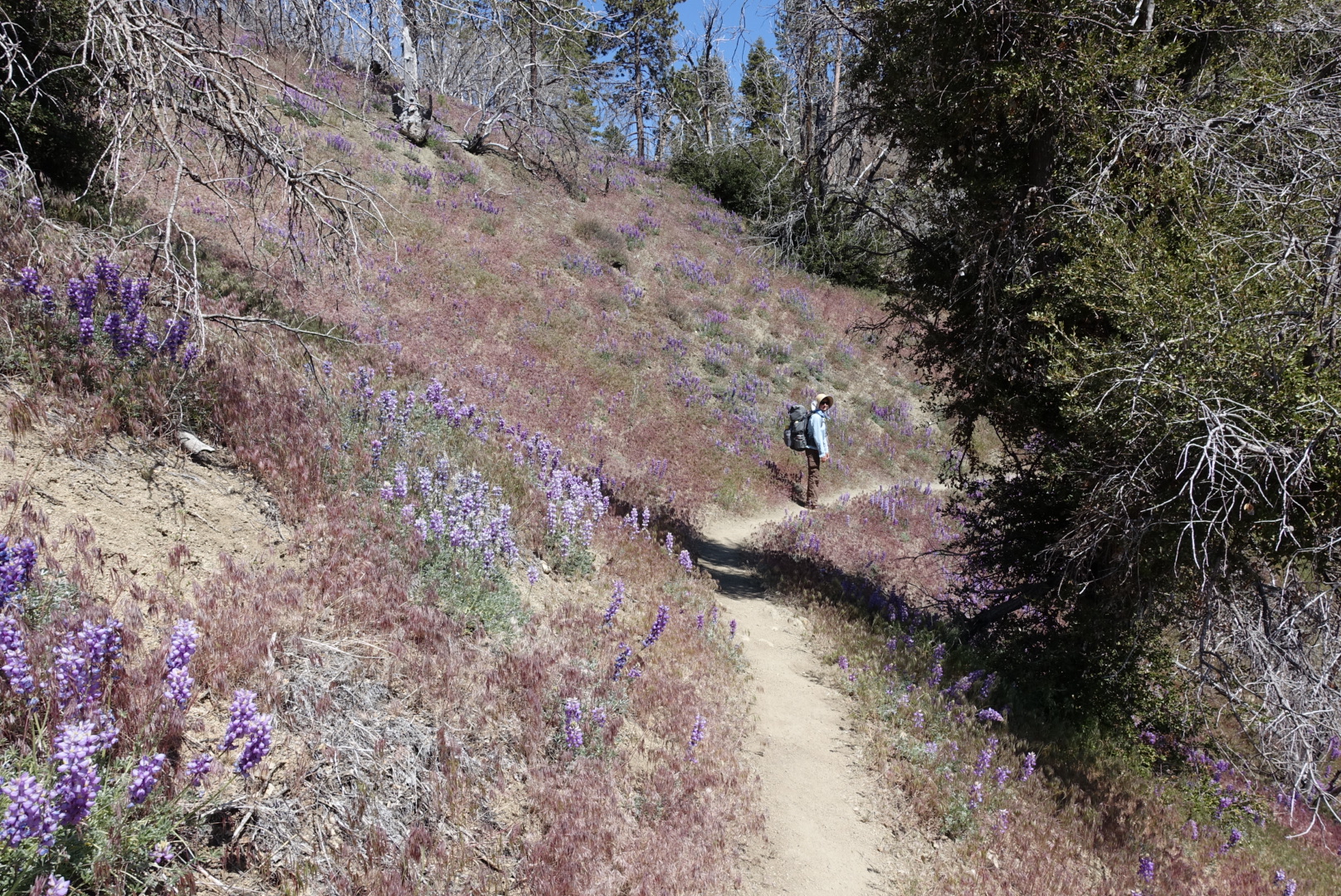
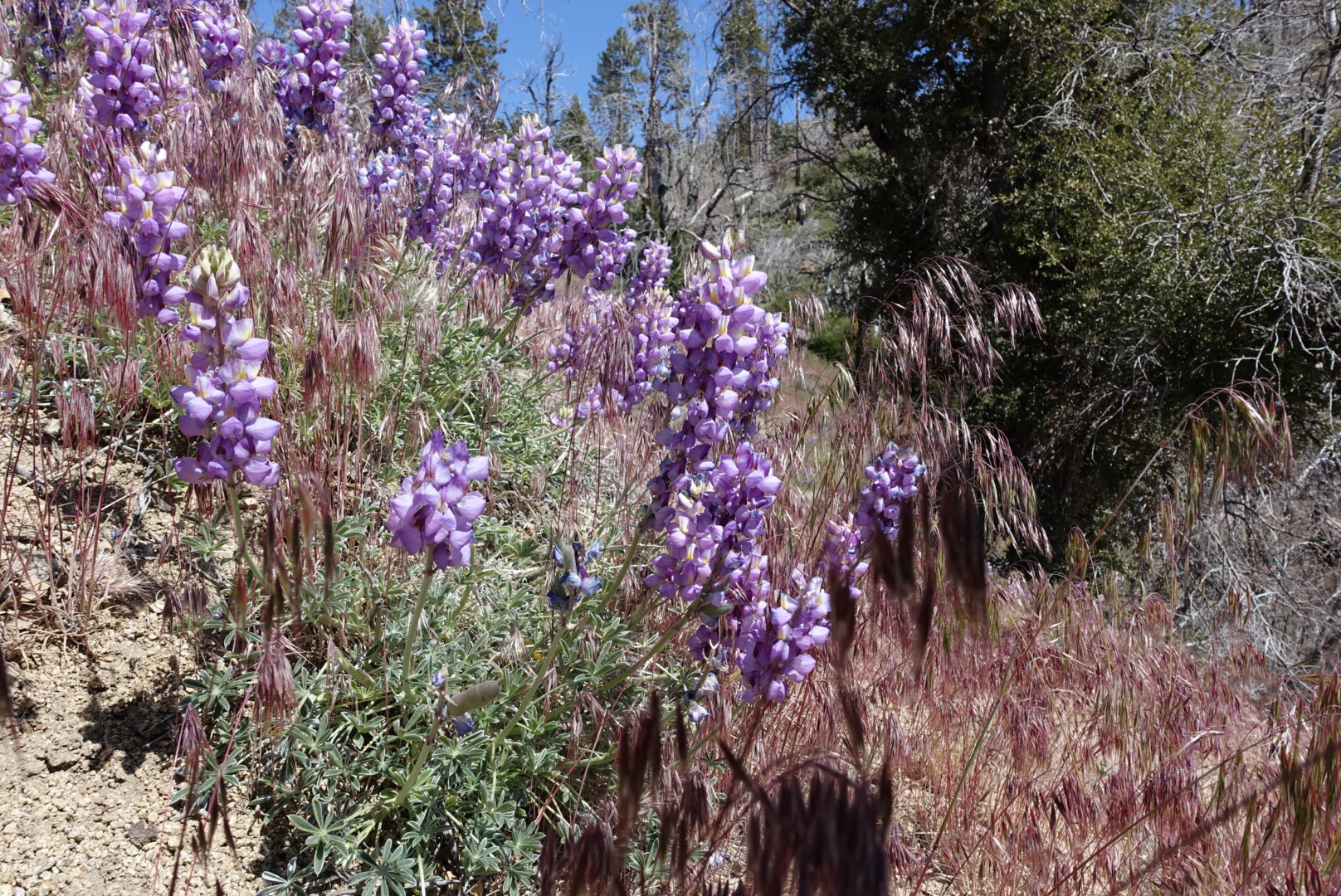
Purple flowers were widespread ground cover on the steeper areas.

image

image

After a full day in the area, we descended into a valley with a burbling brook, and set up camp. Elizabeth had one of Garrett’s spare dinners, and reported that it’s the best trail food she’s ever had.

Unmarked Campsite on 2N02 to Big Bear Lake – 5-23

Last night was cold, very cold. Despite the pictures yesterday showing that I’d set up for cowboy camping, I actually pitched my tent and used all my warmest sleeping gear. I even wore my jacket in bed, and was still cold.

Bill and Wonky had found a sheltered place to cowboy camp together, and they didn’t seem frozen, so maybe my idea to camp on a windy, exposed ledge had been a bad idea.

We packed up, ate, and got moving. As always, Pathfinder was ready to go by about the time we poked our heads out of our tents.

Early in the day, we passed dirt bike tracks, numerous Joshua trees, and old disused mines, like Rose Mine, probably so named for its soil color.

The endless dirt roads were wearing on us, though so we decided to try listening to some music. We played two different mixes inspired by the desert:  Old Gold and Range and Basin. They’re both compilations of music from the Sonoran Desert from the 50s to the 70s, which is the wrong desert, but we didn’t split hairs and it made the road walk easier. “I now feel like a desert-walkin’ badass” said Wonky, as Link Wray sang about walking in the Arizona sun.

But as we progressed deeper and deeper into the forest roads, the paths showed less and less usage and maintenance.

We reached an intersection where the alternate said to go right, and the locals’ signs said to go right, but I’d noticed some thin roads on my map that could get us back to the PCT a bit earlier if we went left.

We were impatient by now, so we went left, and the road immediately got rockier, as if to punish us for our digression. Our next turn took us under a fence, and onto a steep Jeep road, covered with such boulders that no Jeep could possibly pass.

We sweated and climbed and suddenly, our route struck a neatly-manicured, gently-graded gravel road. This gently carried us all the way back to the PCT. The PCT was so narrow by comparison, I almost walked past it.

So now that we were back at the PCT, we were done with the fire closure. This meant the end of Team Fire Closure.

image
Mission Accomplished

The funny thing about a group breaking up on the PCT is, you don’t all go your separate ways, because you’re all going the same way. You just start walking at slightly different speeds, gradually separating.

Pathfinder pulled ahead almost immediately, and Wonky and Bill pulled away soon after. We saw Wonky and Bill picnicking on a rock a bit later, but Pathfinder was gone.

The trail led us up into cool pine forests, on the way to Big Bear Lake. It’s a ski destination for L.A. during the winter – during the summer, it’s pleasantly cool.

At the highway, we called our hostel, to ask for the free shuttle. Despite a few calls, they didn’t answer.

We decided to hitch into town, and while we were discussing where to stand, a car pulled over and the driver asked if any hikers needed a ride into town.

We thanked him, but pointed out that he came from the town direction, and we didn’t want to make him turn around.

“Oh that’s alright,” he said, “we just came up here to see if anyone needed a ride.”

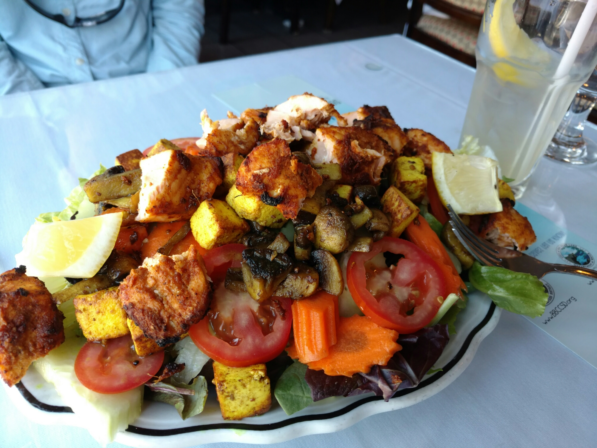
They were a husband and wife who lived in Big Bear Lake, and loved it, and explained the many reasons why. Among them was the $10 lunch special at The Himalayan.

image
Definitely a good reason

After lunch, we went to the hostel, and tried to check in. The person working there said she couldn’t check us in, only “Sarge” could check people in, and he wasn’t available for an hour.

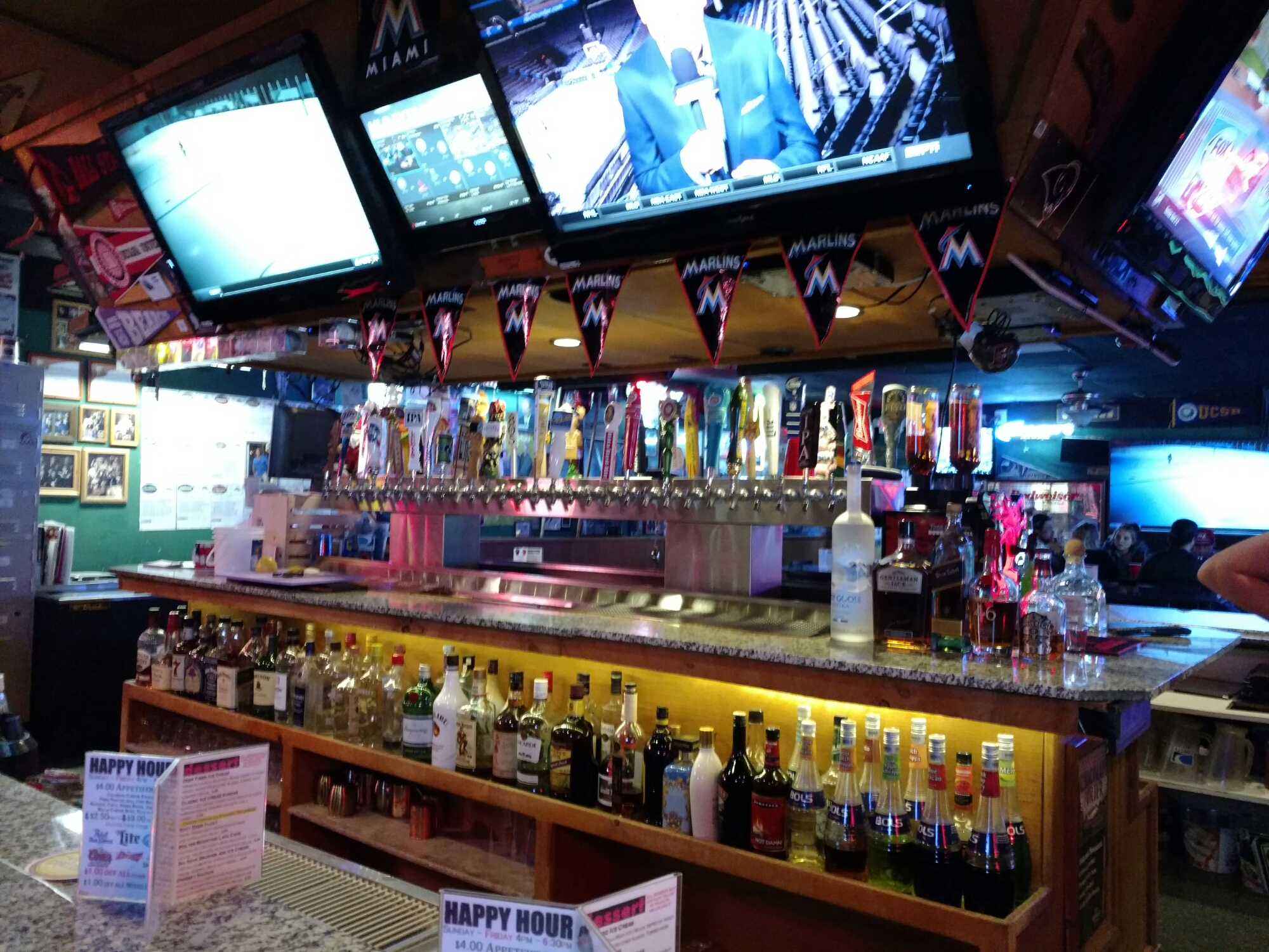
But, she gave us coupons for a half-price beer at a bar around the corner in the meantime. We went there, and they had more than 30 choices on tap. I had an Old Chub Scotch Ale, and Elizabeth had the Hangar 24 Chocolate Porter. Two good, highly-caloric beers for $3 each – Big Bear Lake seems to be holding up to our hitch’s claims!

We chatted with another hiker, with a strong Boston accent, named Bear Sweate. He was carrying a sizable beach umbrella down the whole trail. It was big enough that he and his girlfriend could share, instead of carrying their own umbrellas.

image
Numerous $3 choices

But then we got back to the hostel, and Sarge still wasn’t around. After an awkward 45 minutes or so sitting around the hostel’s common room, Sarge made his appearance.

“Sorry, man,” he said, “I really needed that nap.”

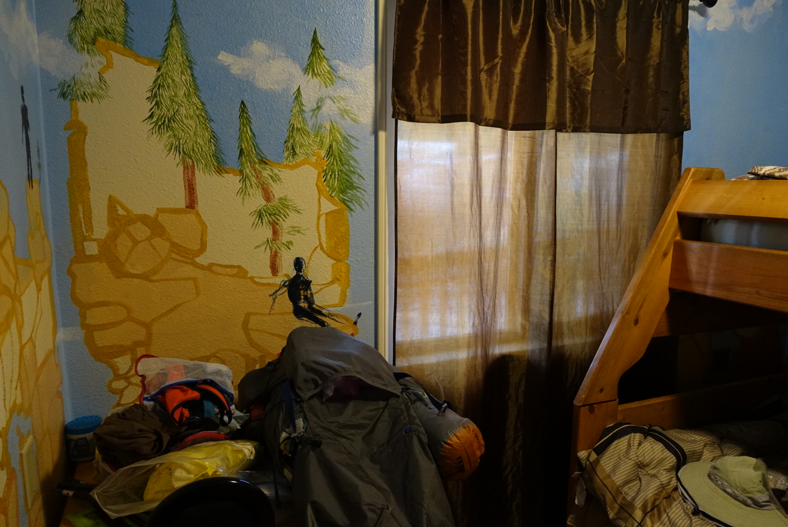
Our room had bunks, and paintings on the walls. Gradually, we were able to get a slot for the laundry, take our showers, do our resupplies, and so forth, but it took a long time in such a spread-out town. We had a late dinner at the only restaurant still open, and feel asleep soon after.

image
Our room, piled high with hiker accoutrements