CS362 to Little Jimmy Campground – 5-28

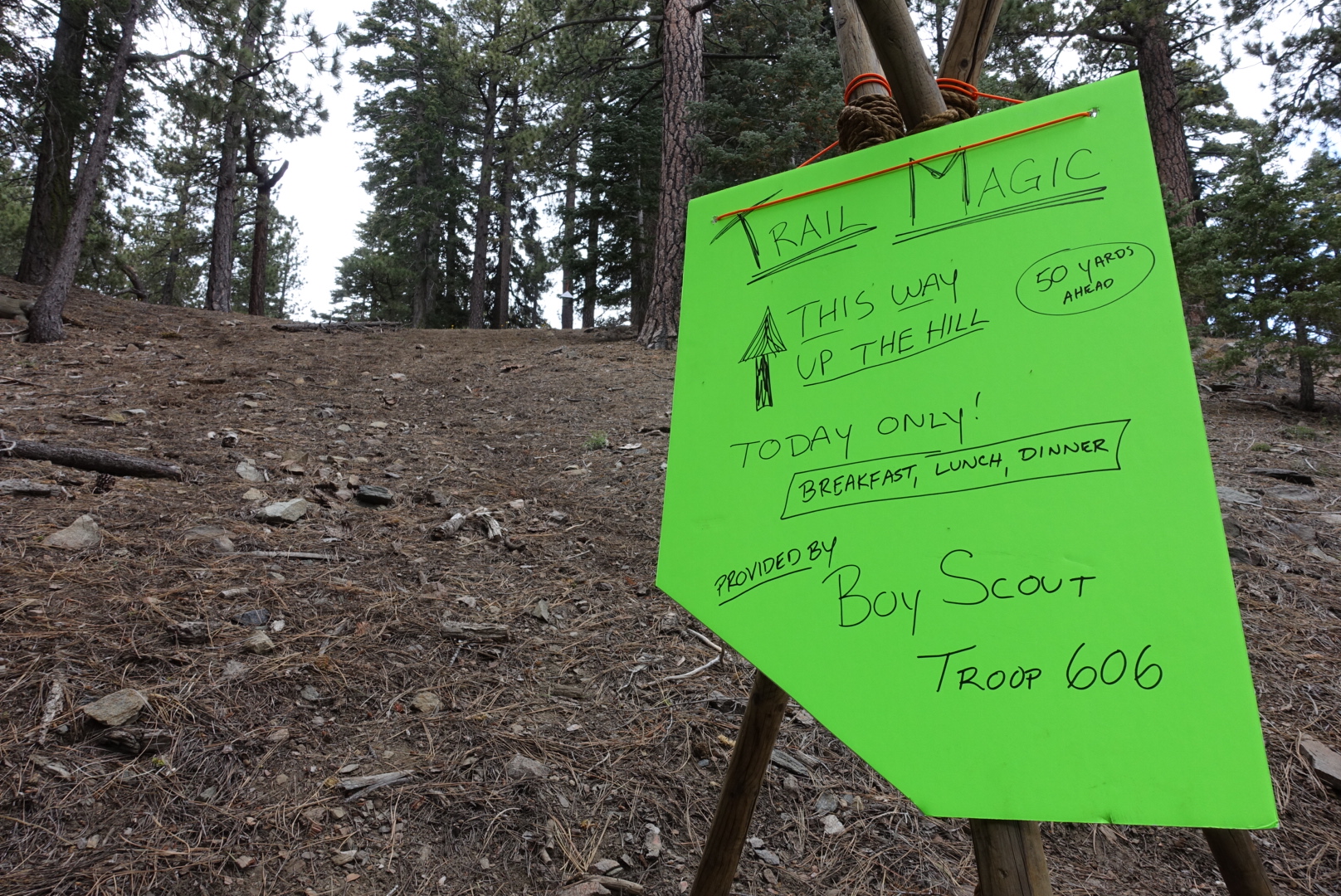
Today started out well. Within the first two miles, there was a lashed-together sign for trail magic. The local Boy Scout troop was making everybody breakfast. We were well-fed, though, and the sign said to walk uphill. So we moved on without giving the alleged breakfast a closer

image
You can tell it was made by boy scouts because of the quality knot tying
image
A steep trek for a second breakfast, though

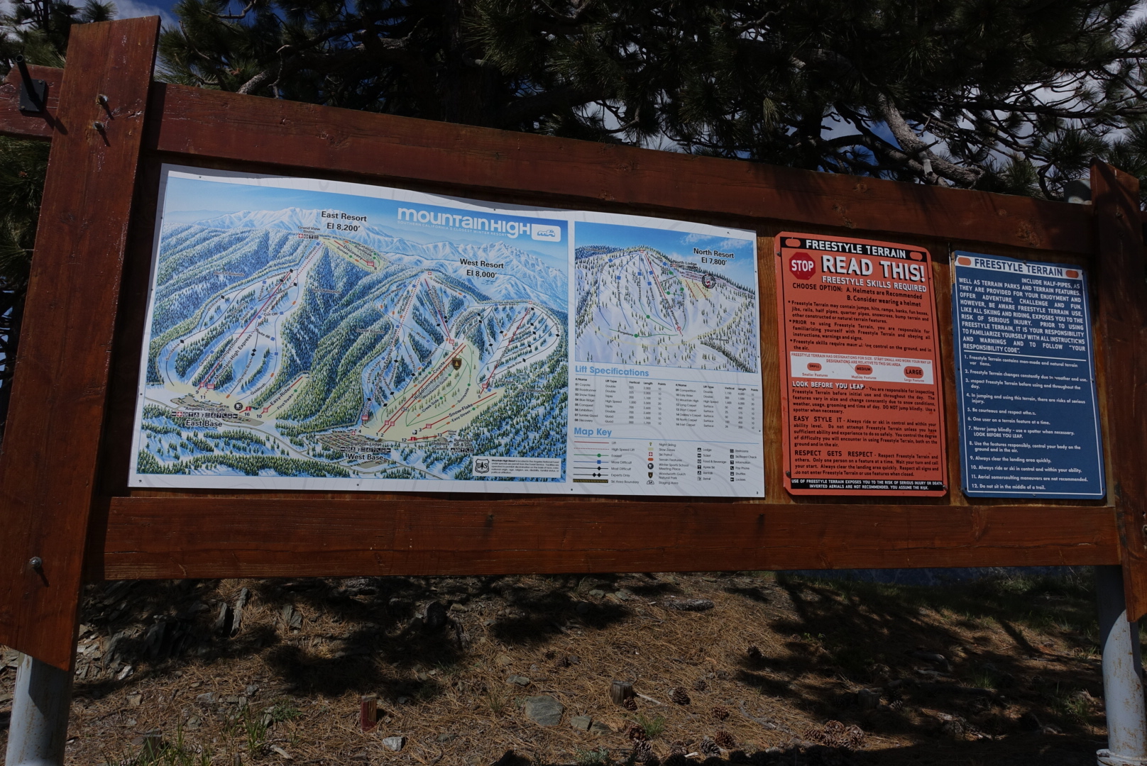
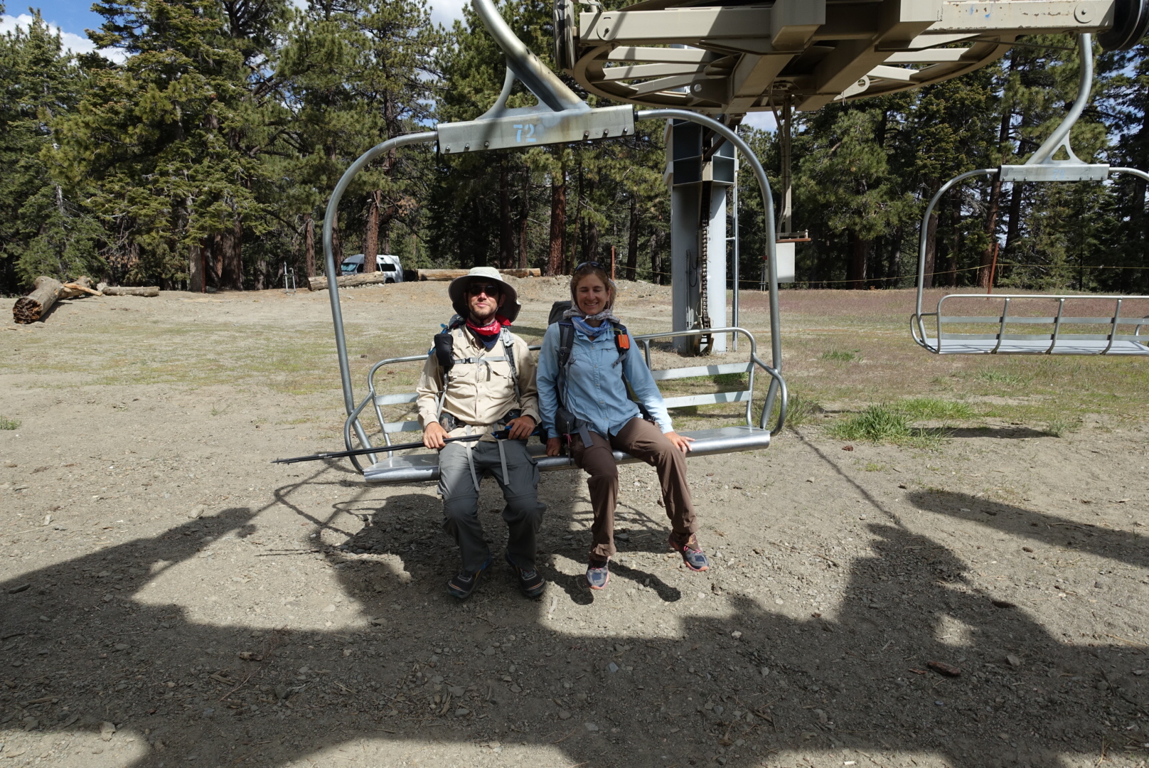
A bit later, we found ourselves going through a ski resort. It hadn’t been operational for several years, however, due to poor snowfall.
image
An easier way to climb hills
image
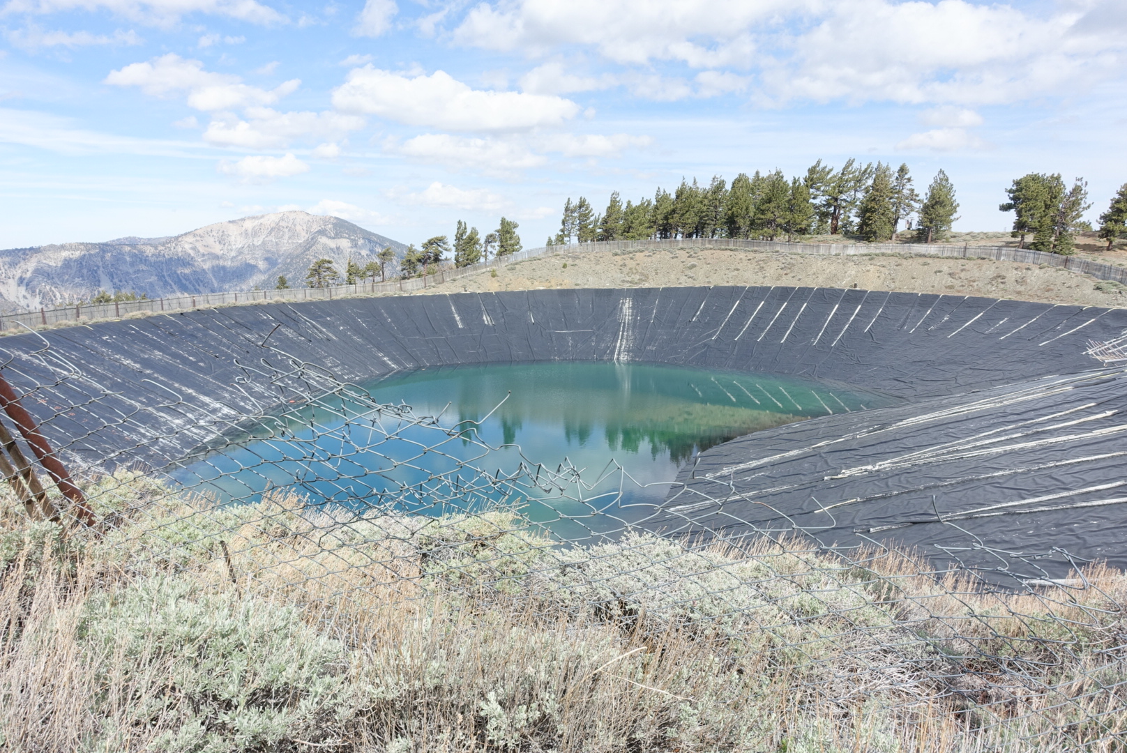
Even the fake snow reservoir was low
image
"Choose Option: A. Helmets are Recommended. B. Consider Wearing a Helmet"

Next, we had the option of hitching on Highway 2 into Wrightwood, a famously hiker-friendly town. While we were considering whether it was worth the time to hitch, a car drove up and asked us if we were hikers needing a ride into town. We accepted, and soon found ourselves in a small mountain town.

image
The view down to Wrightwood

The businesses left something to be desired. The grocery store was expensive, and the coffee shop’s “milkshake” was the worst of the trip (blended ice with chocolate syrup).

But, the locals were really, really nice to hikers. Twice, people asked us if we needed a place to stay that night. Excited children asked us if we were hikers and would come to their barbecue. But, we weren’t staying the night, and had already eaten. So we resupplied at the grocery store and the hardware store, and got ready to head back. I did have a Cactus Cooler orange/pineapple soda at the grocery store. It was terrific. I’ve never seen it before or after.

While discussing where to stand to hitch back to the trailhead, a local asked us if we needed a ride. So we’d hitched into and out of Wrightwood without ever sticking out our thumbs. This driver had worked in Yosemite, and told us about his secret cave and waterfall.

Back at the trailhead, a local was giving fresh fruit to hikers out of her trunk. I had 10 blueberries – each was delicious. Hikers sat on the parking lot in a semicircle around her trunk, chatting and eating fruit. Our hitch got out of the car, and told them about his secret cave and waterfall.

We had an ambitious schedule for the rest of the day, so we headed on.

We’d later hear stories from people who stayed in Wrightwood, who found themselves in pristine guest rooms at mountain mansions, or at elaborate dinner parties, or so forth.

Next, we’d be climbing Mt. Baden-Powell, a steep mountain named after the founder of the Boy Scouts. The climb didn’t look so bad, until our trail went down, down, down into a valley to put us at the foot of the mountain.

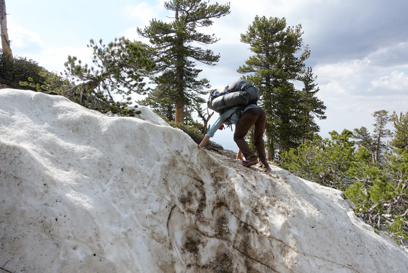
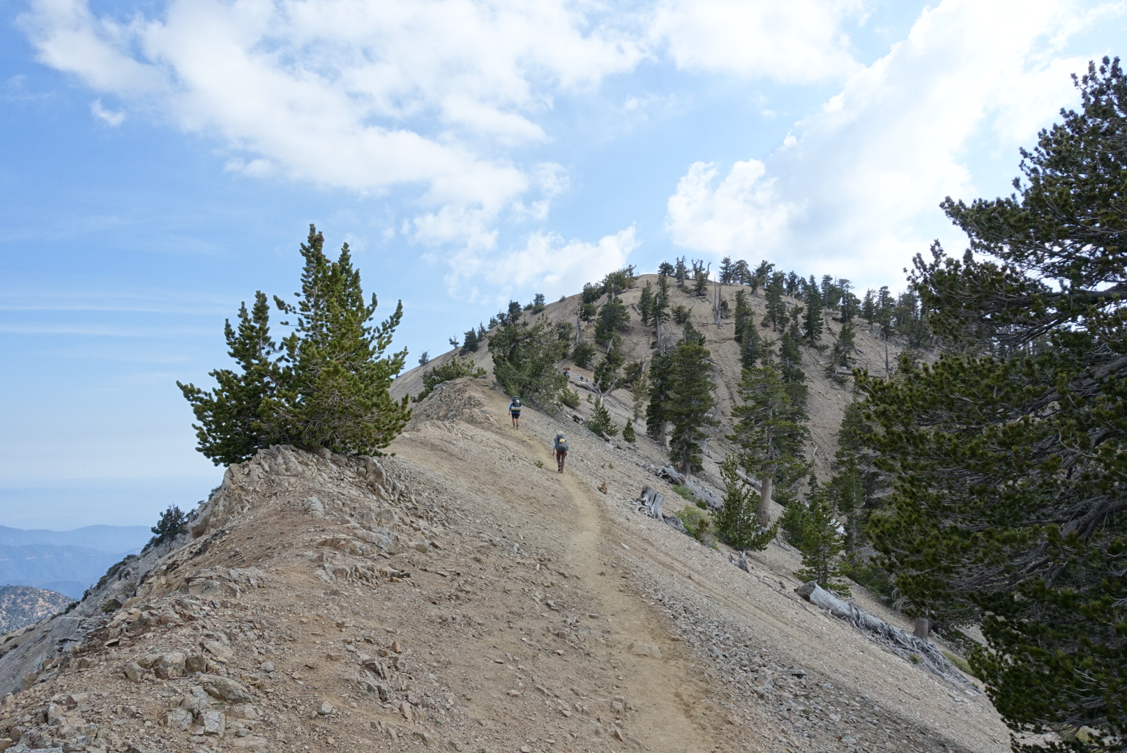
We’d filled up to 4L water for an upcoming dry stretch, and the trail gained the last 3000 feet or so in about 3 miles. But after some sweaty switchbacks and some patches of snow, we found ourselves at the summit.
image
Not pictured: Elizabeth flailing and falling a second earlier
image
The view towards the summit
image
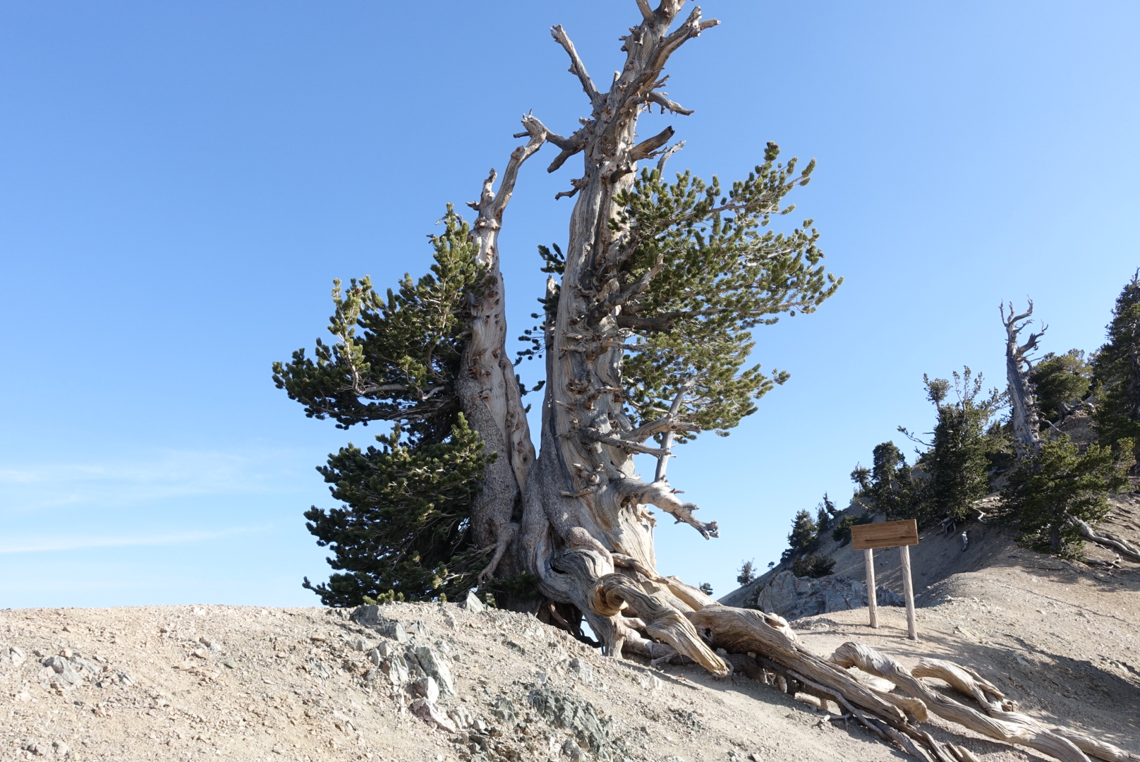
The tree at the junction between the PCT and the Baden-Powell summit spur trail
image
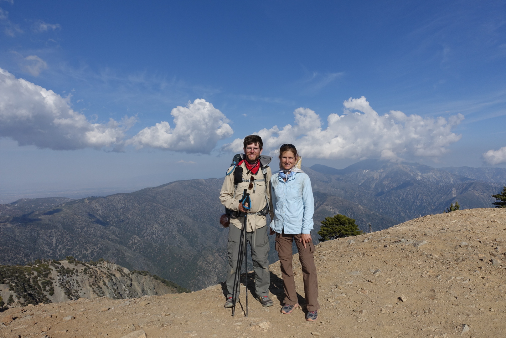
Elizabeth and I at the summit
image
A panorama at the summit. My RX100M3 camera isn't very good at these

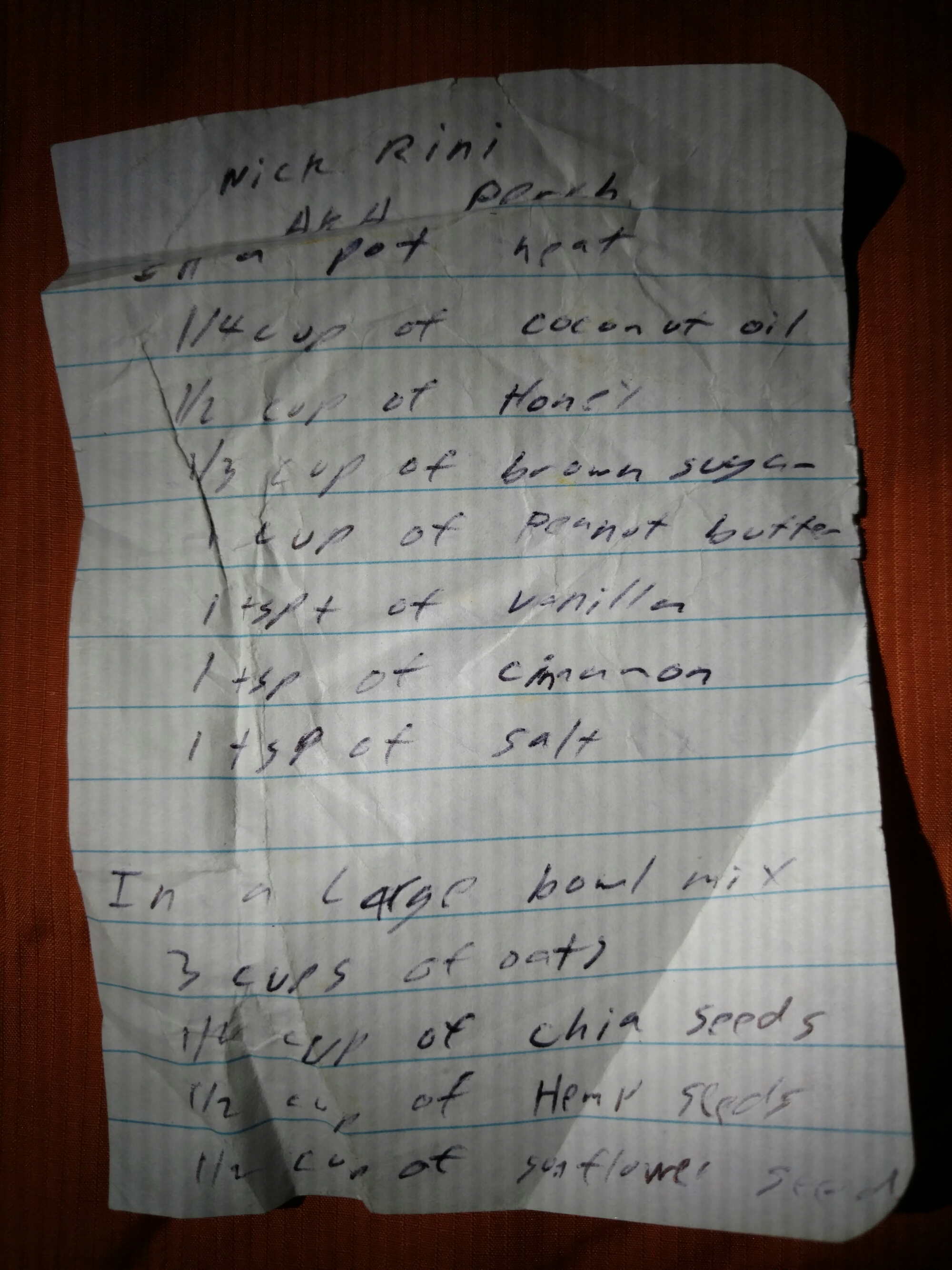
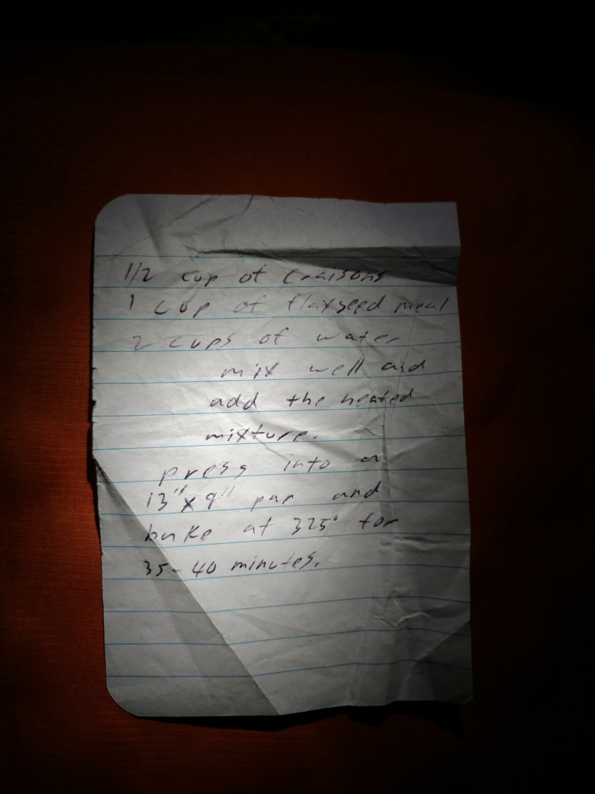
The summit was full of PCT hikers, and we met and spent some time chatting with Grub, Orange, and Perch. Perch shared his tasty homemade nutrition bars with us. They had coffee in them, which made them right up Elizabeth’s alley. He was kind enough to write down the recipe for me.

image

image

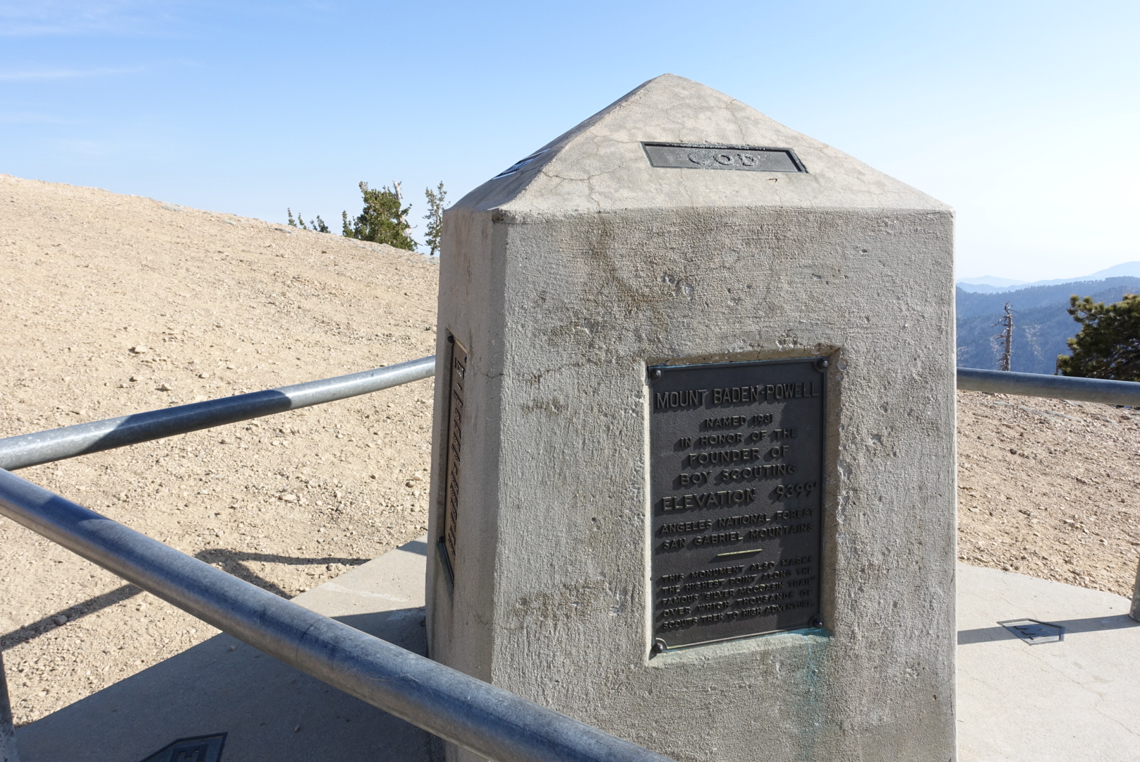
Later, we took a quick look at the Mt. Baden-Powell monument, and headed on our way.
image
It seemed heavy to carry up the mountain

We wanted to get to a water source that night, and that meant going to Little Jimmy Campground, a large campground that’s a 2 mile hike from the nearest parking lot.

As we approached, it got noisier and noisier. We entered the campground, and saw large tents as far into the woods as we could see. There were people with axes. There were children. We realized it was Memorial Day weekend.

But, heading further and further back in the campground, the tents got smaller, and the crowd got quieter. We ended up camping with none other than Poppy and Luke, the same people as last night.

We had a nice long campfire, and went to bed.
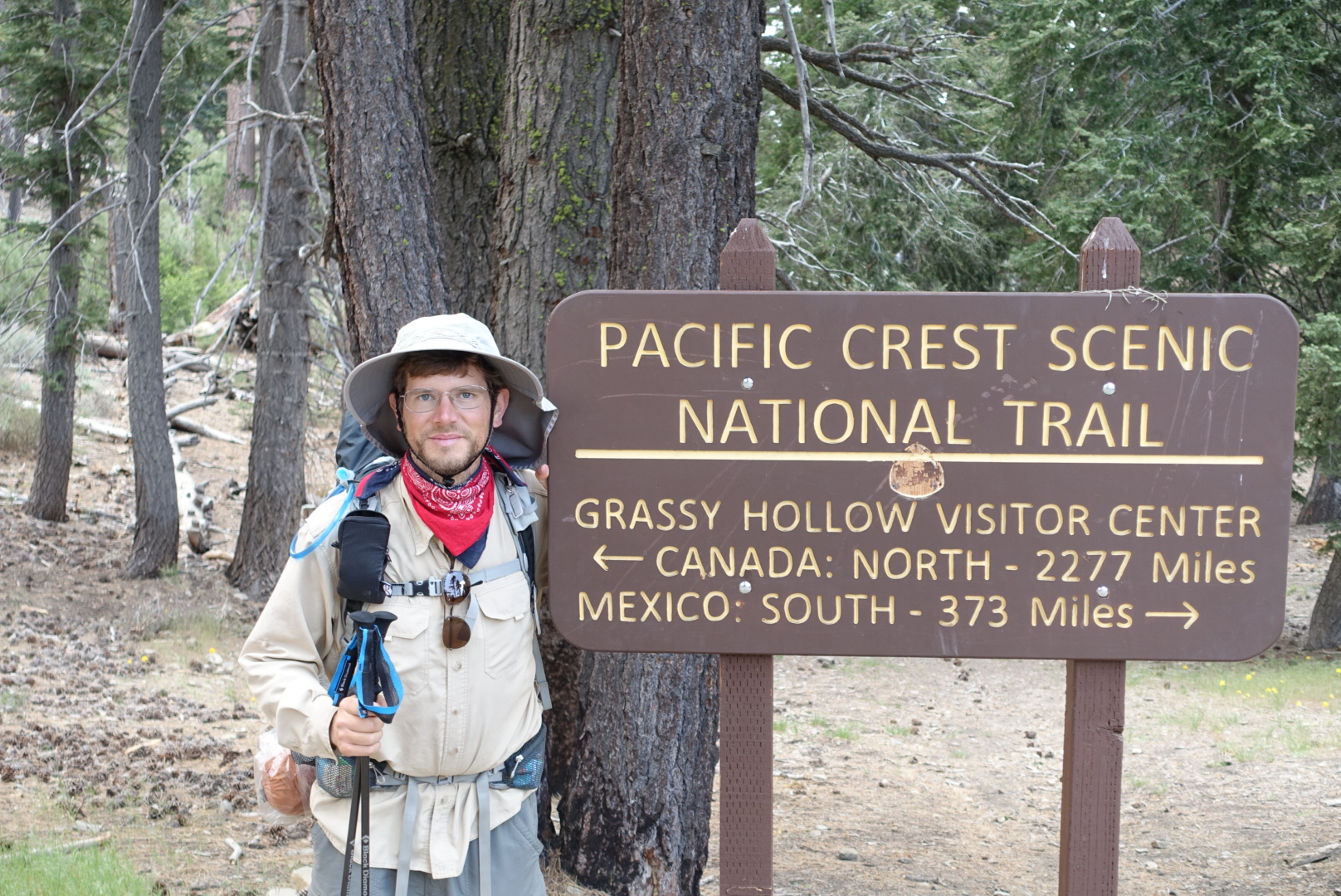
image
Still a ways to go

Cajon Pass to Gobblers Knob (CS362) – 5-27

The outlook for leaving Cajon Pass was not good. There were no places to get water for 29 miles, so we’d need to carry all our water for the day (and for camp tonight, and for tomorrow morning) from the outset. It was supposed to be hot, so that would be a lot of water. We’d be carrying that water up a 7200 foot climb, too.

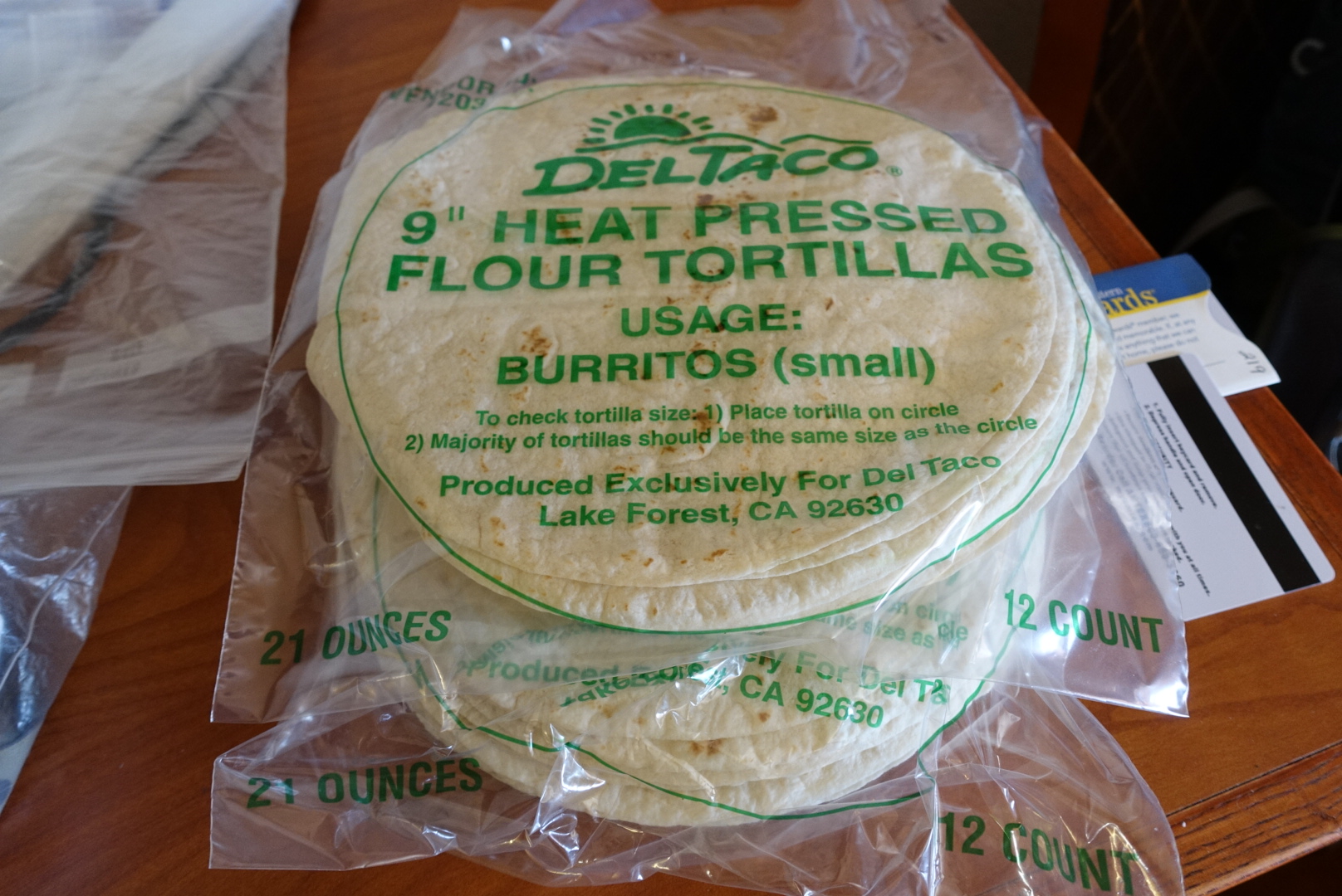
We tried to buy or supplies for the morning, and discovered that the Cajon Pass gas stations were not good for this. There seemed to be no real food, just candy. The Del Taco attached to the Circle K was willing to sell us their packs of pain tortillas, but filling them would require creativity. I took 8 mayonnaise packets from the Chevron, hoping to make my tuna packets more palatable in a tortilla.

image
These are not good tortillas, but they never seemed to go bad

Before heading out I took some leftover odds and ends to the hiker box, including the leftover bottles of beer. It was good beer, too – Lagunitas Lil’ Sumpin’. That would surely be a nice surprise for some hiker.

Getting all those tasks done in the morning, however, meant that we didn’t start hiking until 10AM. It had already gotten hot.

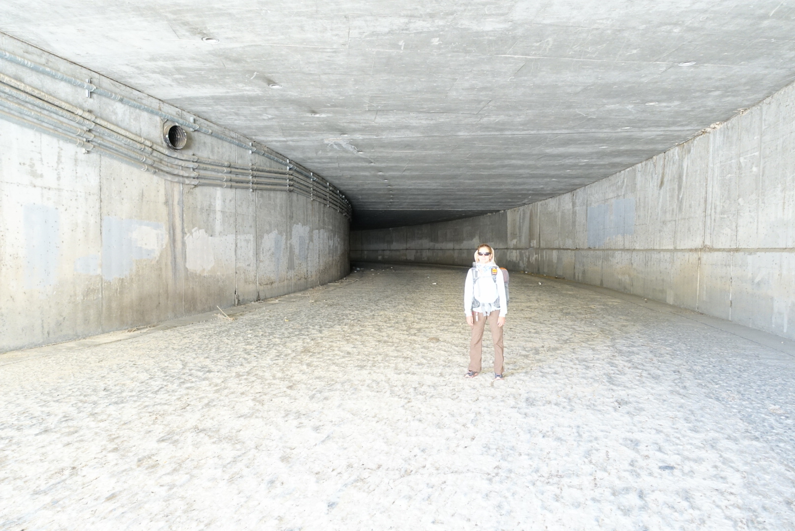
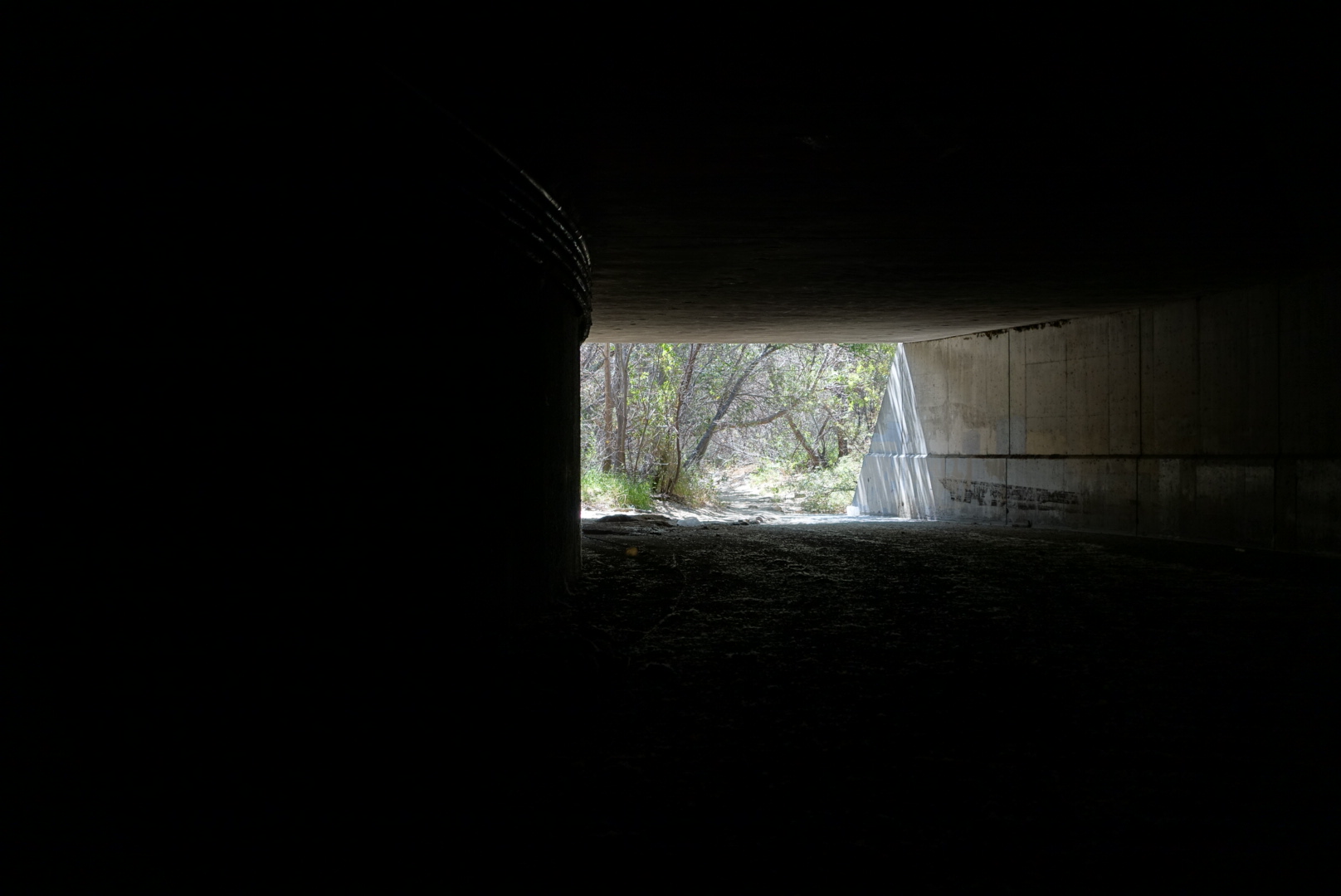
The very beginning of the day, at least, was easy. We passed under the freeway and crossed under and over railways.

image
The tunnel trolls were easy to avoid
image
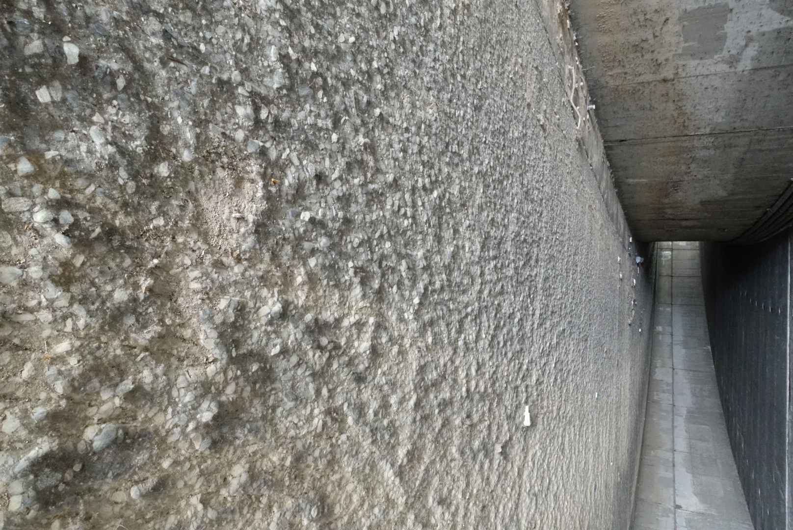
The ground in the tunnel under the freeway was wavy concrete, as if to imitate the shape of flowing water
image
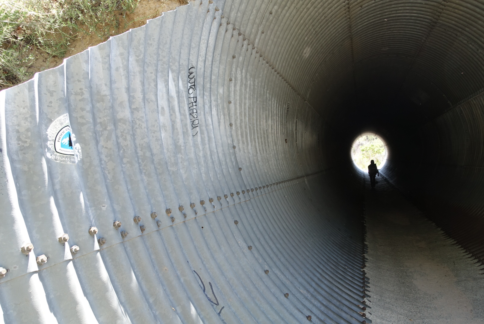
The light at the end of the tunnel
image
Note the PCT logo on the corrugated metal drainage pipe

After passing through the tunnels, we pushed through a dense field, and I caught my first whiff of something that would plague me for many miles – poodle dog. Let me explain:

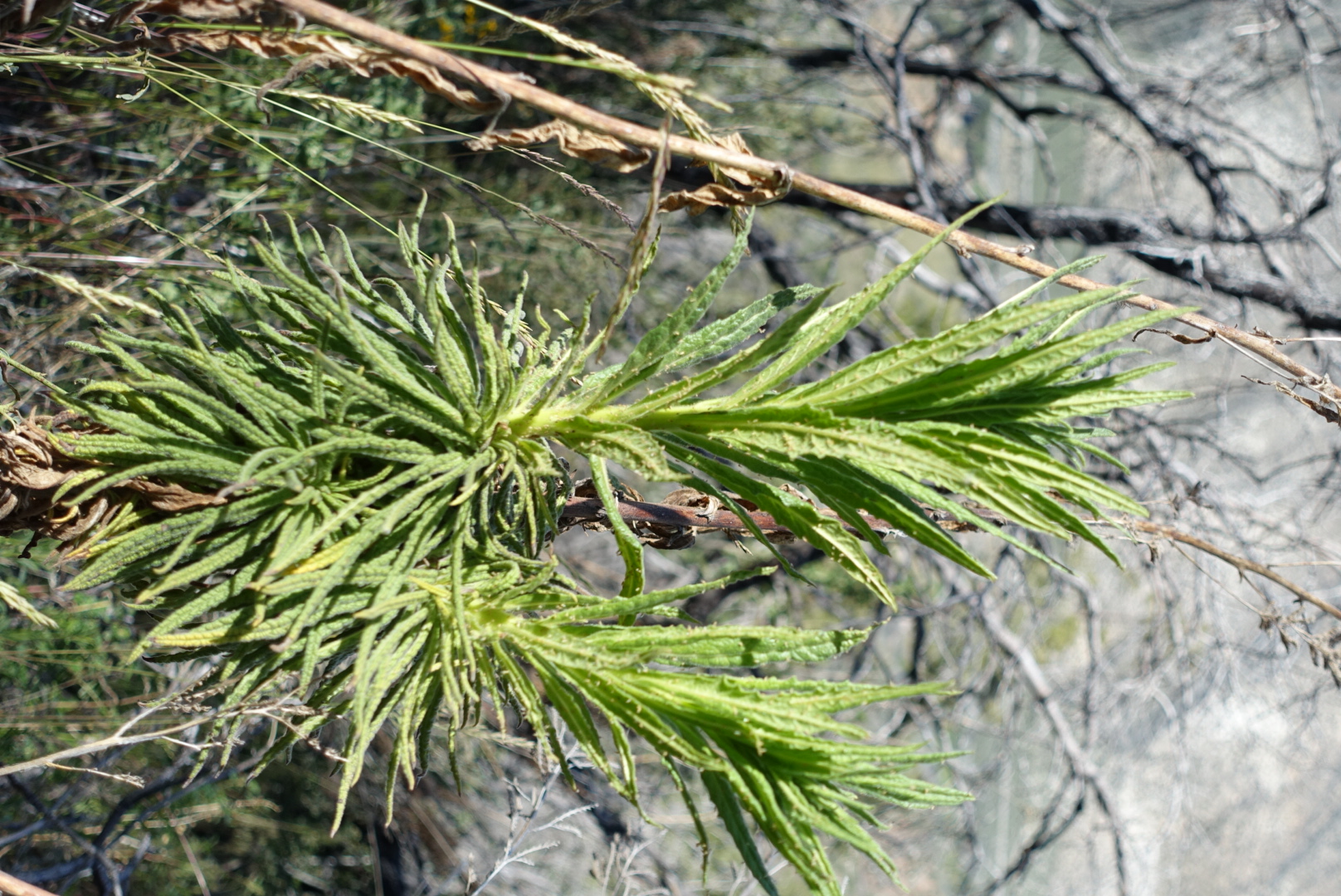
The PCT in certain sections of southern California is plagued by something called poodle dog. It smells strongly of skunk, and can grow up to 9 feet tall. It’s covered with a short fuzzy hair that looks gooey and sticky. If you touch it, you’ll get a rash worse than poison oak.

Despite the smell, I couldn’t find it. I wasn’t quite clear on what it looked like, either – I’d only seen blurry pictures, and vague descriptions. So we trudged on, cautious.

image
This is what poodle dog bush looks like. I didn't know at the time.

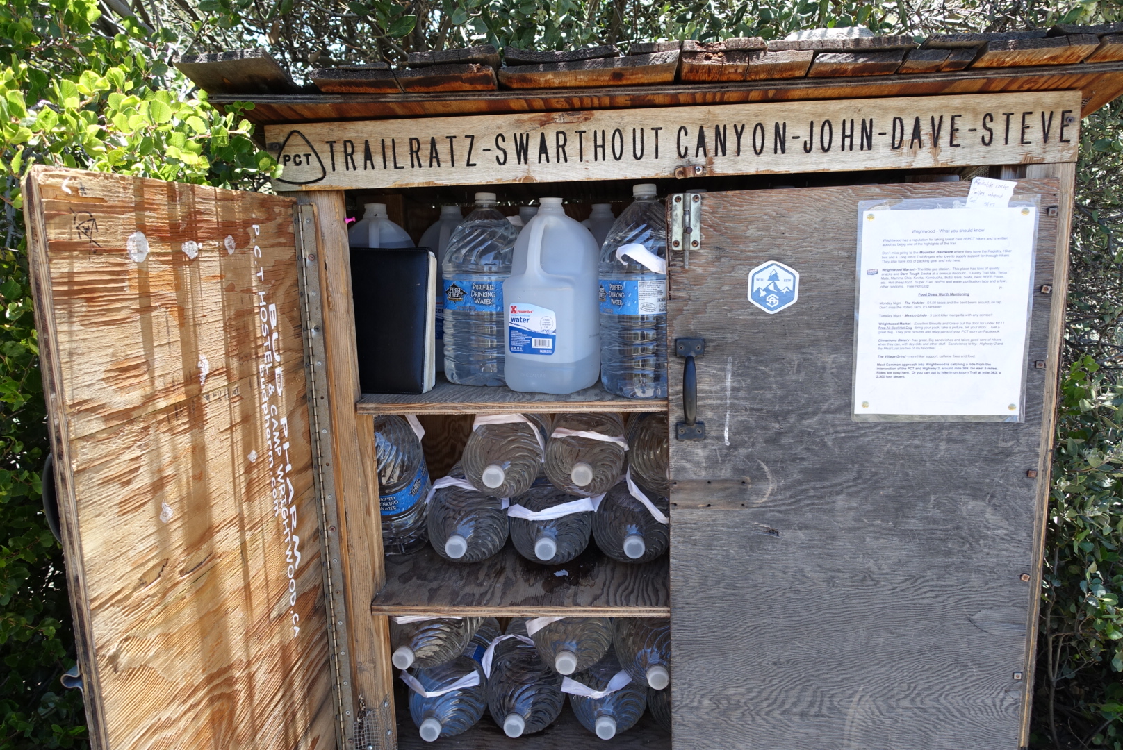
The PCT water report had told us about a 29 mile dry stretch, so we were loaded down heavily with water. Our pack weight made uphill climbs painful.

So when we saw a great big water cache 7 miles in, it was a bit disheartening.

image
And there was another 7 miles later, near the top of the hill. We could've gotten away with a light water load.

We ran into Bill and Wonky on the way up the hill. They were sheltered in a patch of shade, drying some gear in the sun, and having lunch. We griped about the Cajon Pass resupply choices, and traded them some Pop Tarts for some cheese.

We also meet a middle-aged Japanese couple who we’d seen at the Best Western. They couldn’t speak much English, but the husband managed to say “Thank you for beer. Very good beer.”

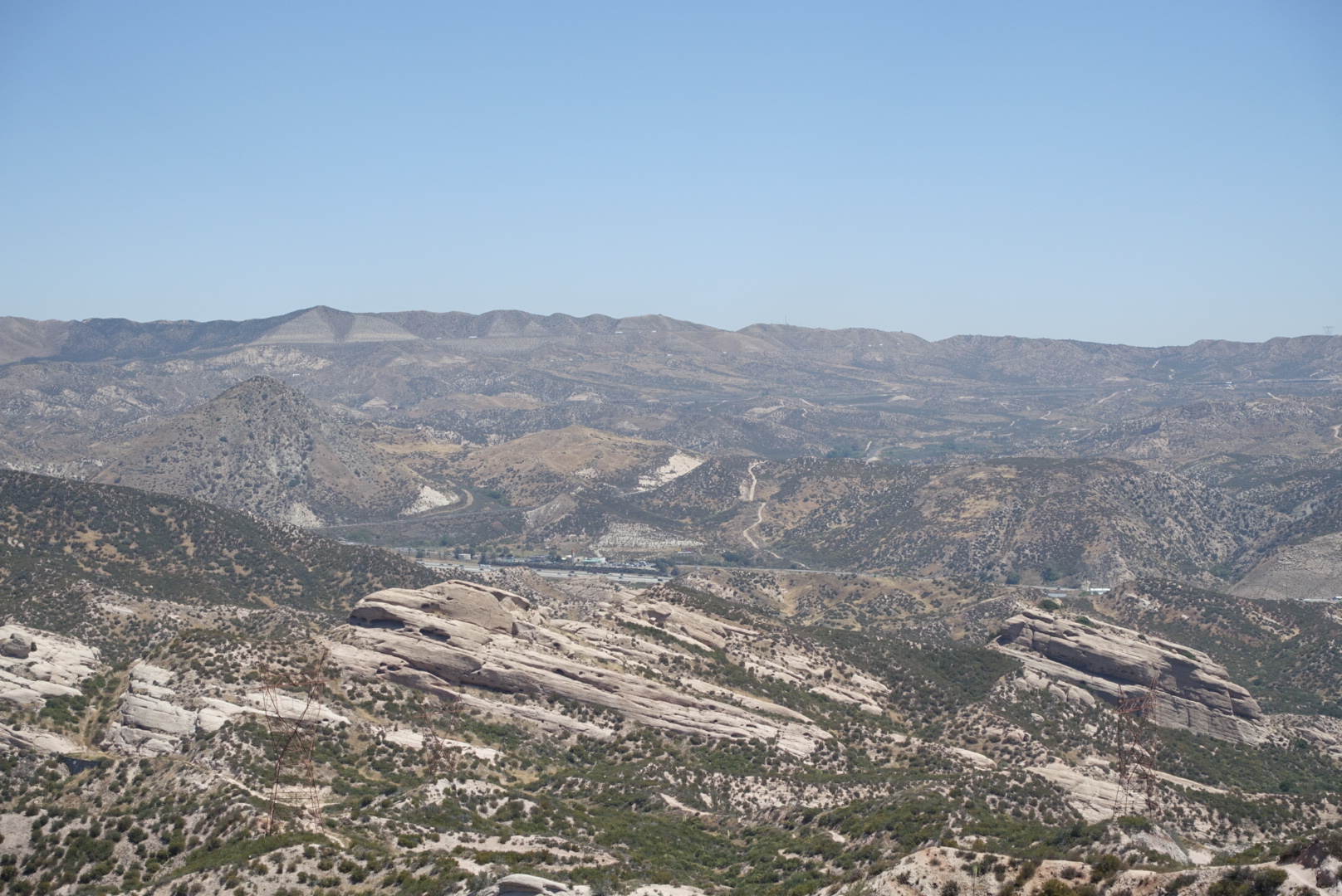
The way up the hill had some good views back to Cajon Pass, and the surrounding terrain.

image
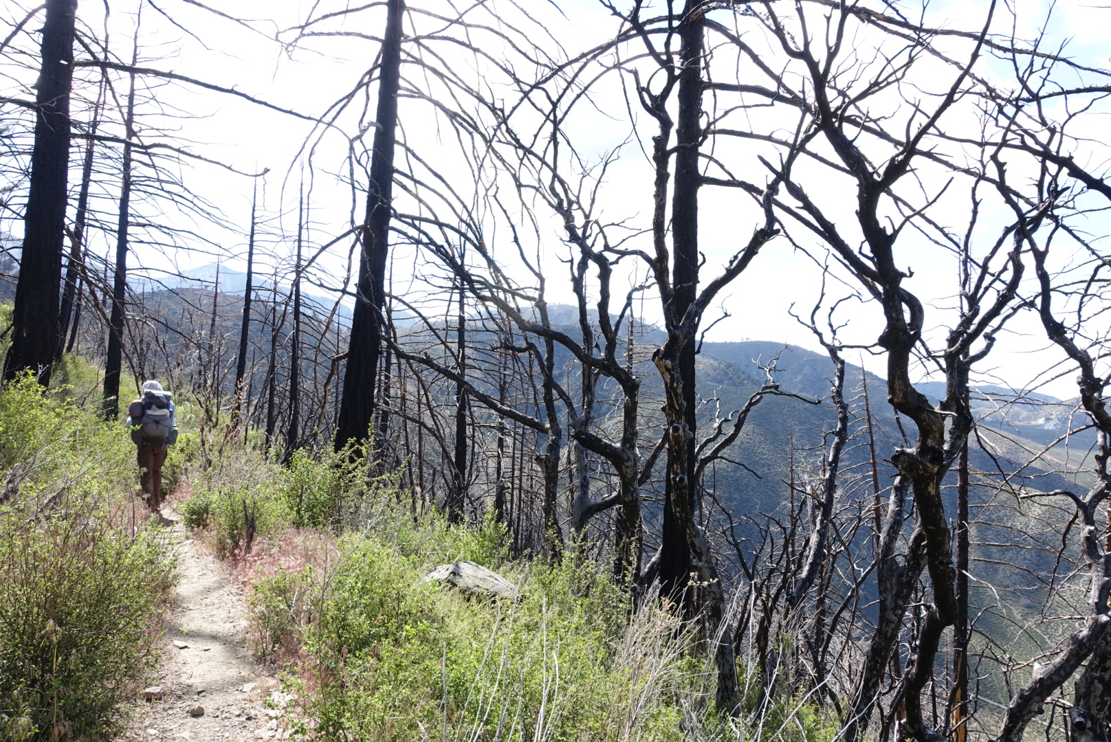
Some of the terrain had burned a couple years ago. Poodle Dog thrives in burned terrain.

image

image

image

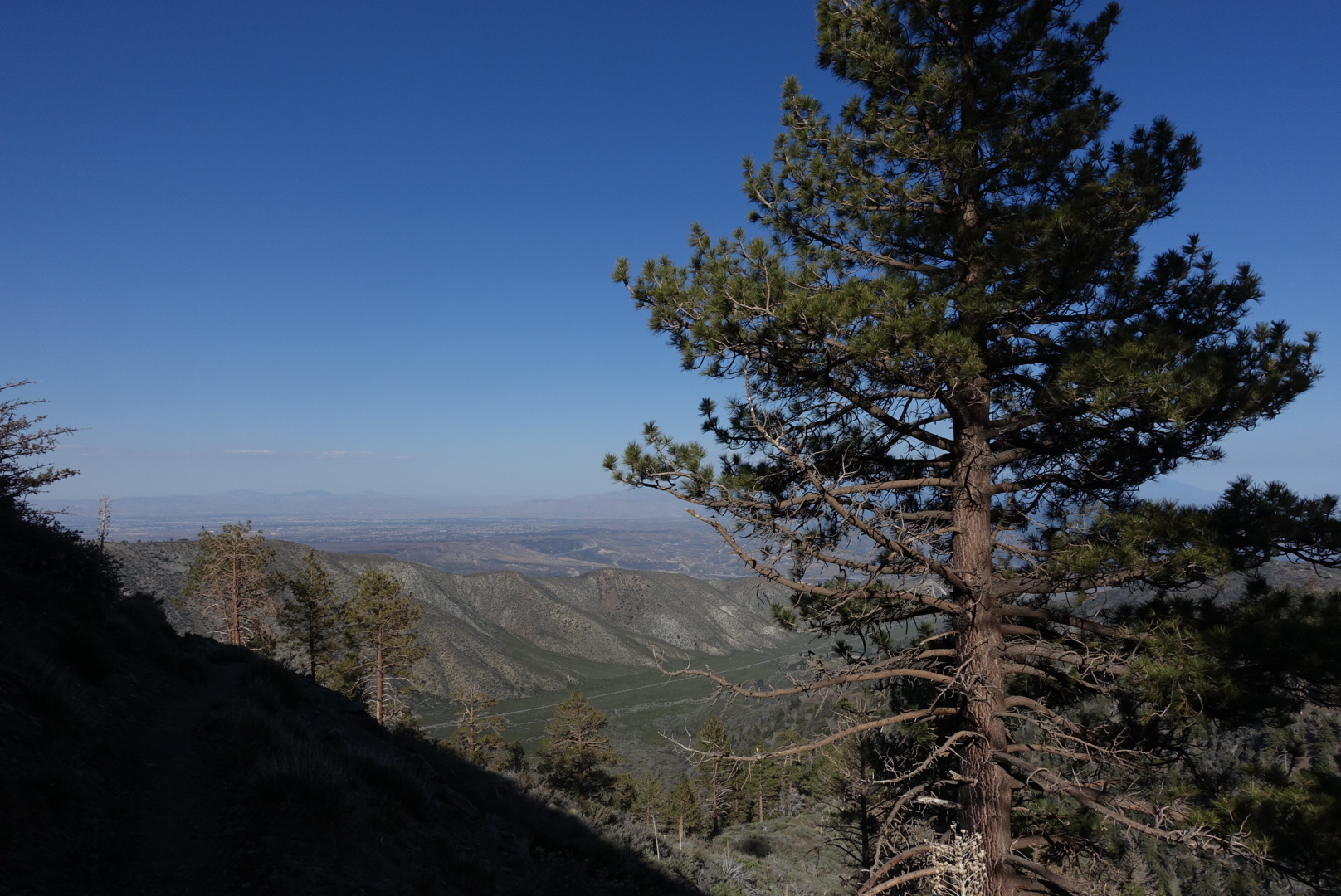
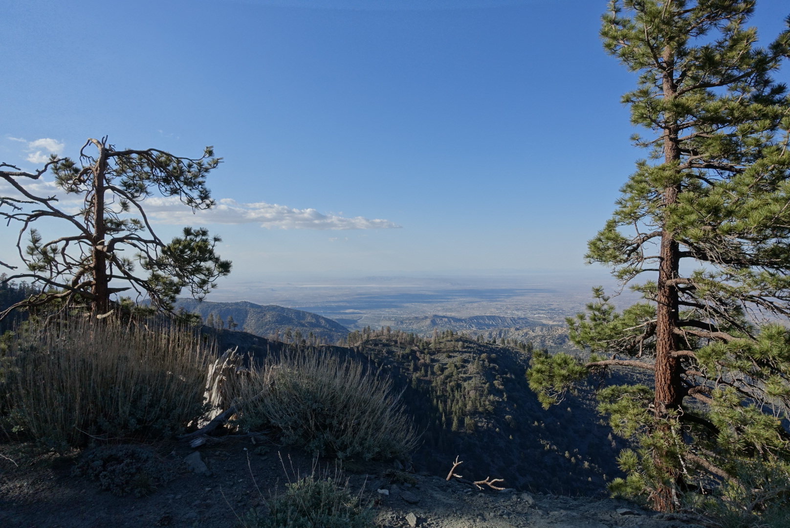
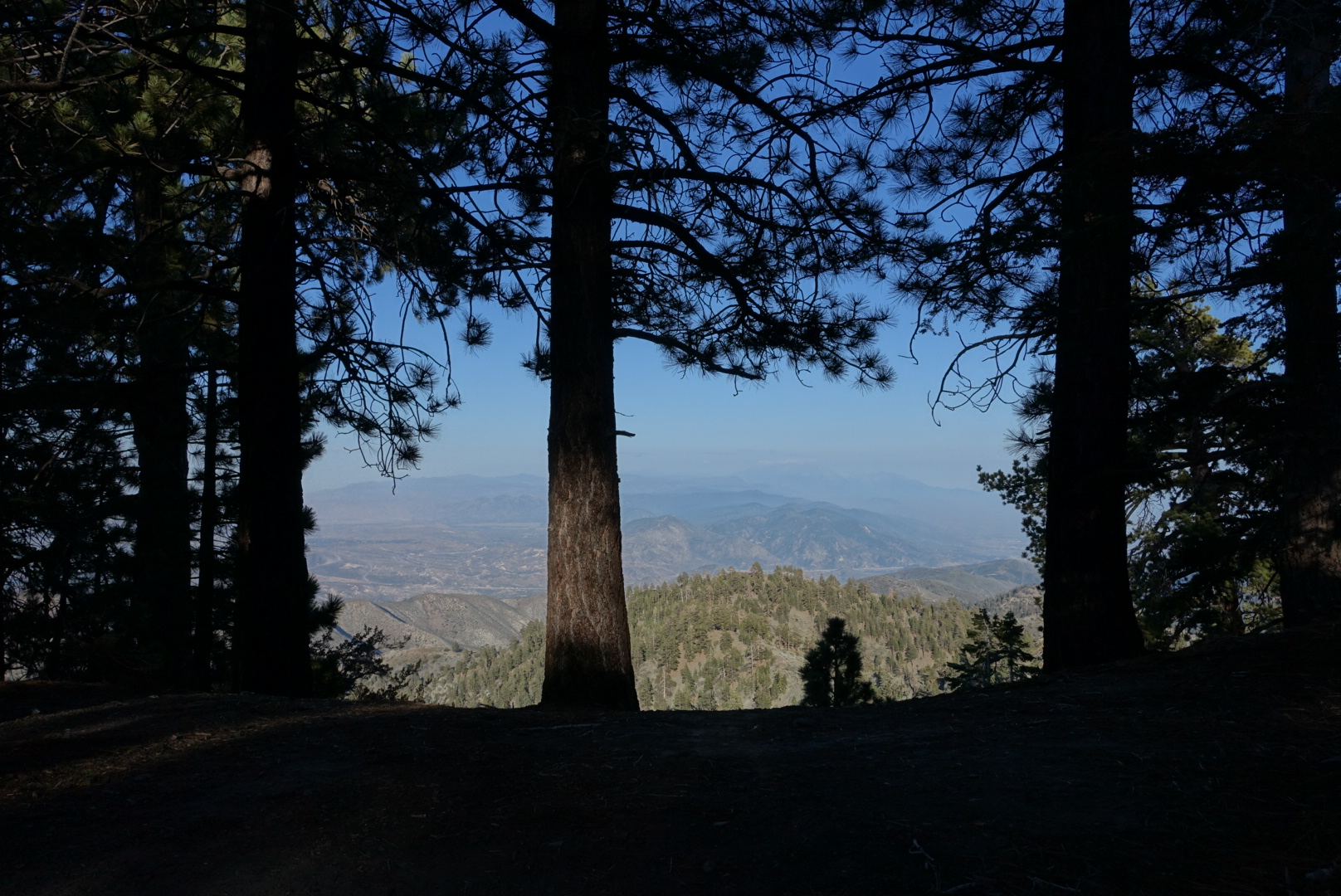
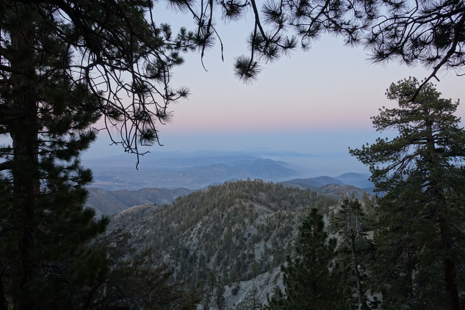
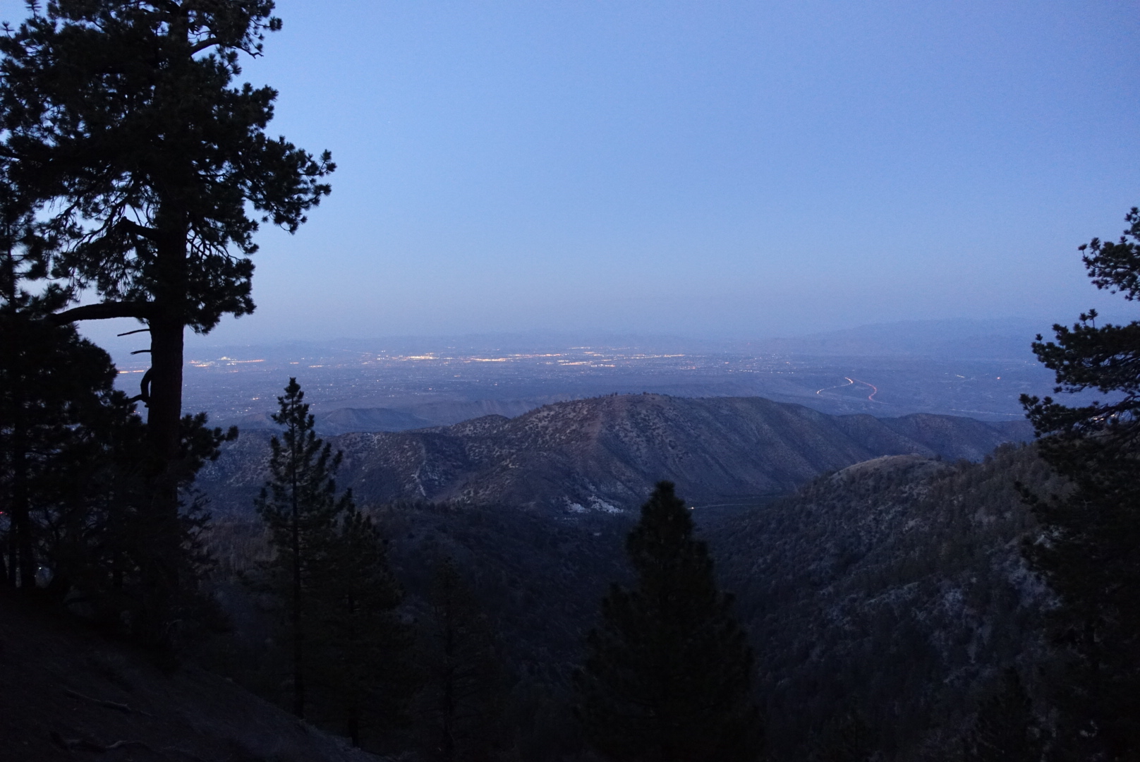
At the top of the hill, we found a campsite with terrific views to the valley to the north, full of farms and, later, the lights off small towns and highways.

image

image

image
It doesn't show up well in this picture, but the headlights pulsing slowly down the freeway from a distance made them look like rivers of flowing molten gold

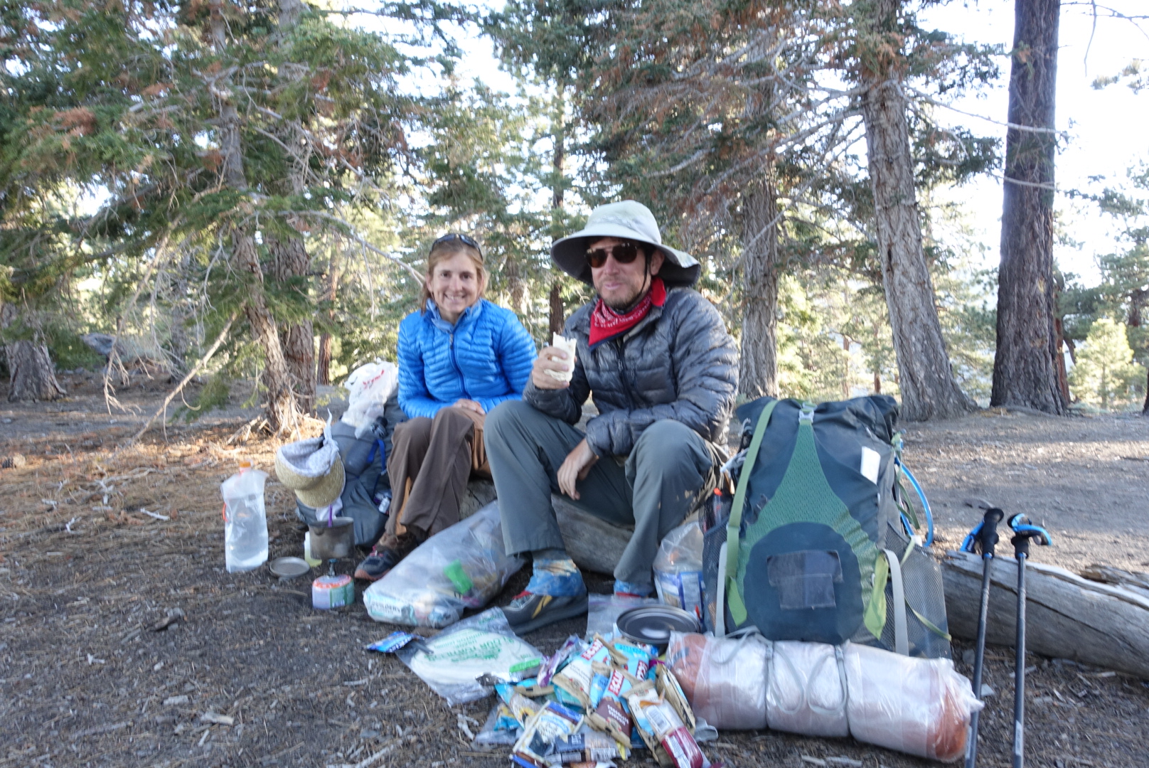
We ran into Jared again, a man we’d had lunch with back at the Paradise Valley Cafe. He was personable and talkative. He had worked for the government doing some diplomatic work with Indian reservations, and had been able to give us advice about the Lake Fire Alternate’s proximity to Cabazon land.

He had a trail name now: Poppy. He’d tried to explain the California Poppy to the Japanese couple, who’d nodded but didn’t really understand. The next time they saw him, they greeted him: “Hello, Poppy!” They thought he’d explained his name.

image
He also insisted our parents would love this picture of us eating on a log

It was breezy at the campsite, so we set up our tents and went to bed before it got to cold.

image
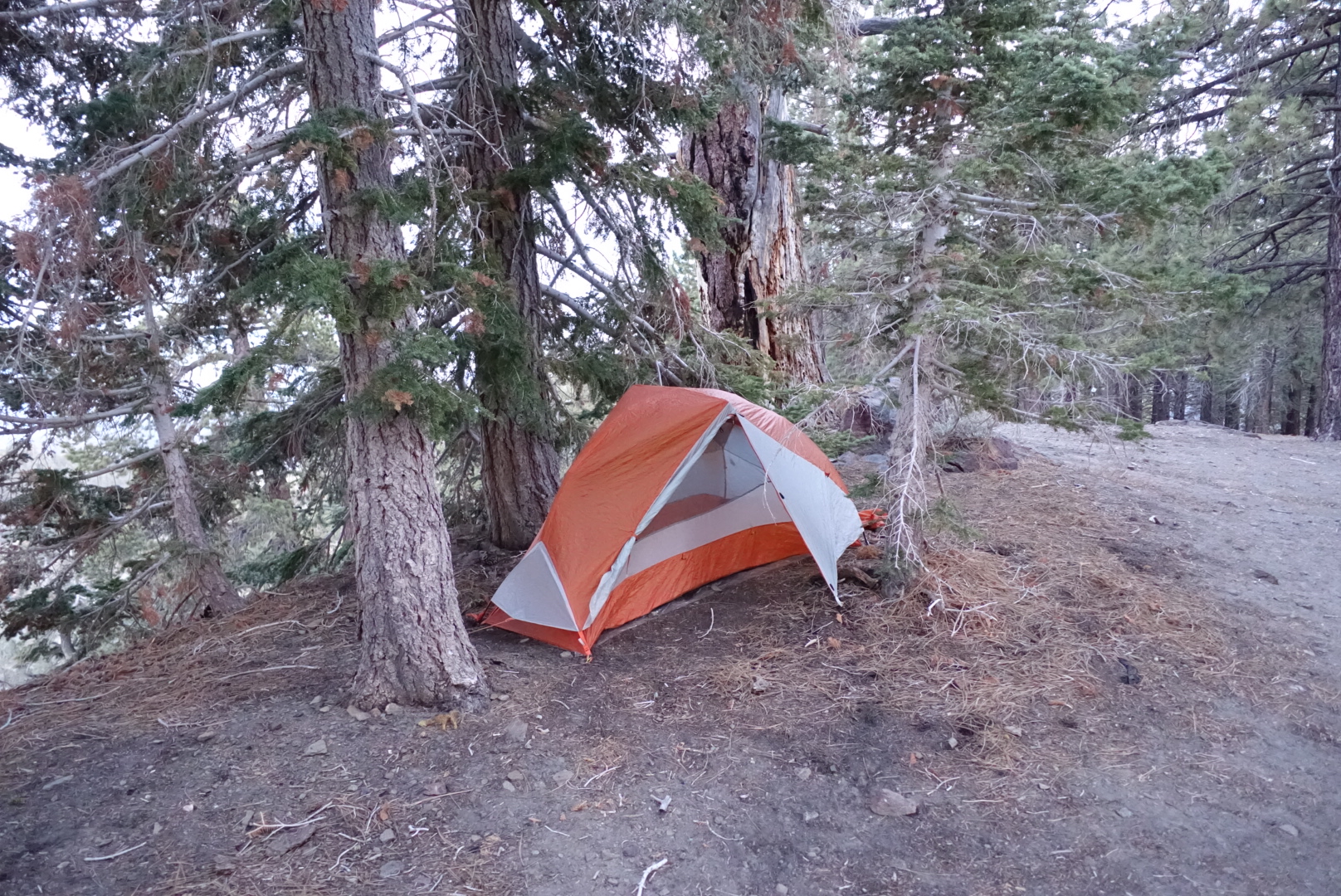
I tried for wind protection and a view

CS318 to Cajon Pass – 5-26

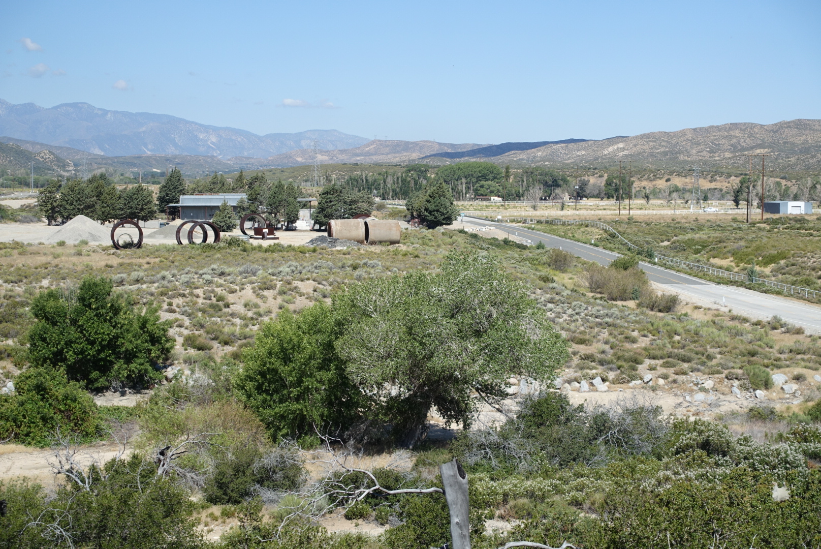
Much of today’s scenery was agricultural or industrial rather than wilderness. The Mojave Siphon Station was alongside our route, and it’s maintenance equipment was impressive in scale.

image
The spare pipes are perhaps 10 feet tall
image
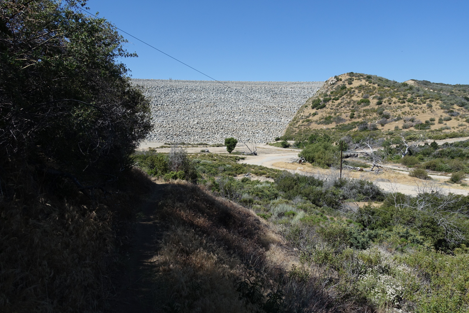
An unexpected dam
image
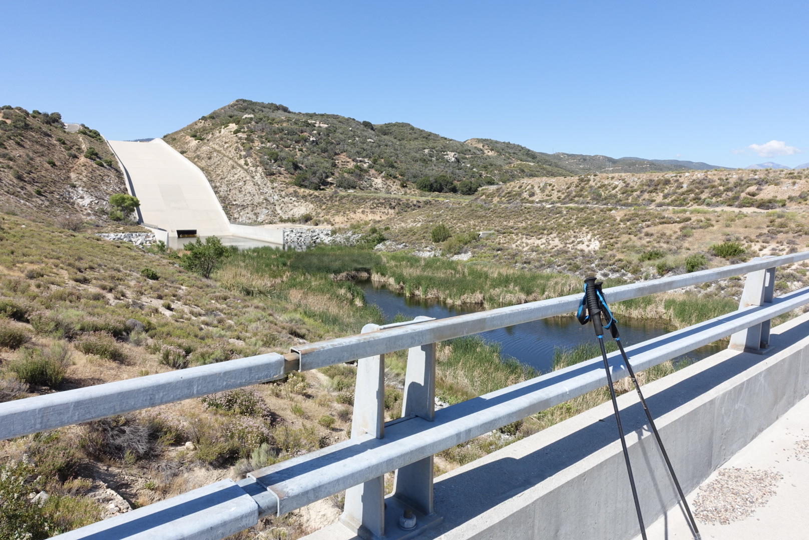
A spillover maybe? And some fenced-off water
image
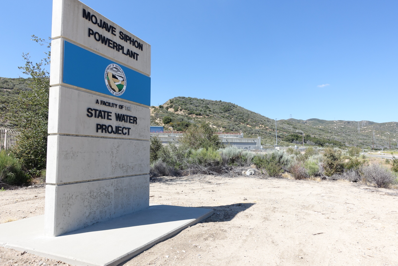
Even the sign is imposing

Since the water supply at camp was so bad, I’d carried as little water from it as possible. When the next water supply turned out to be unusable, I once again found myself dreaming of lakes and drinking fountains.

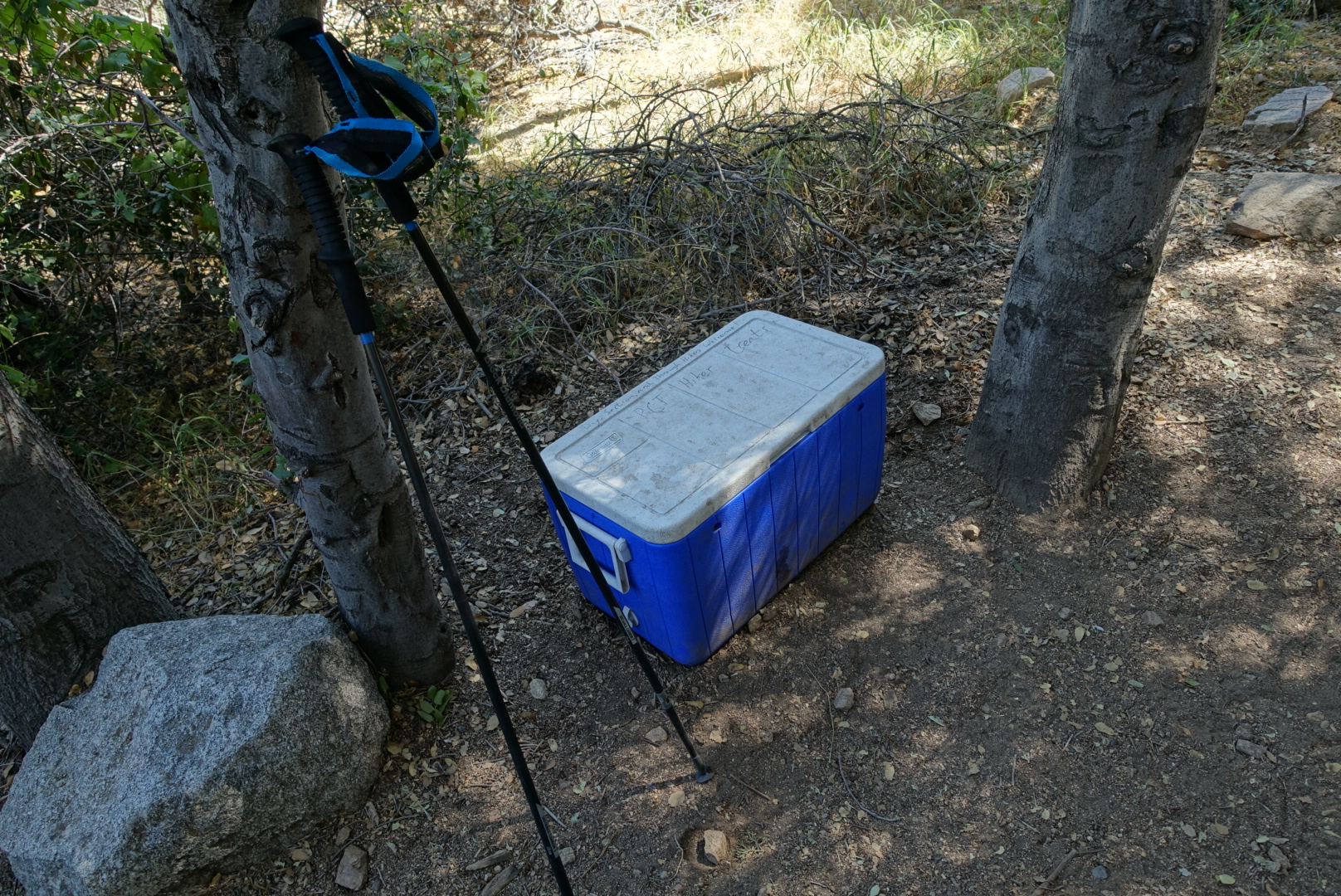
This time, though, in a grove next to the trail, I found a cooler. It said it was for PCT hikers, and contained cool bottles of water, and fresh fruit.

image
Courtesy of "Team Tortoise"

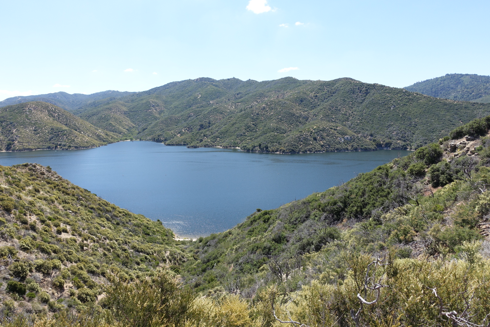
After climbing above the siphon station, we found Silverwood Lake, a reservoir with numerous recreational facilities on the shore, for swimming, boating, picnicking, and so forth. We ate on the beach, and enjoyed the access to water spigots with an unlimited supply of potable water. Elizabeth took a quick swim, and reported it frigidly cold – surprising in the desert heat.

image
Silverwood Lake from afar

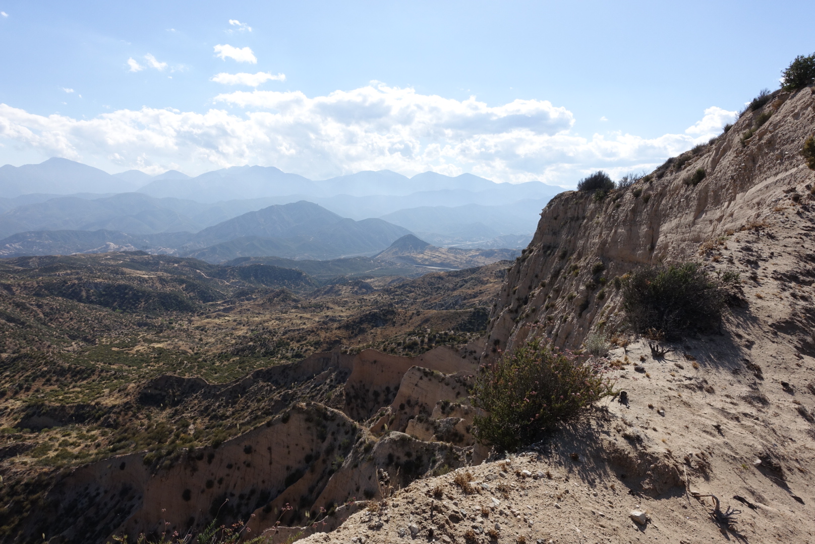
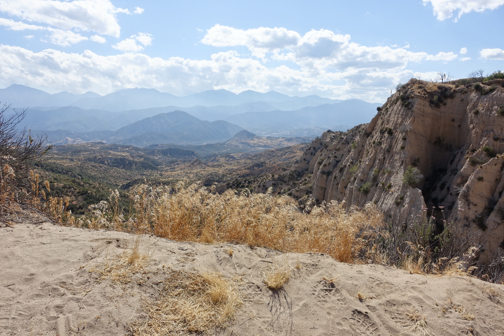
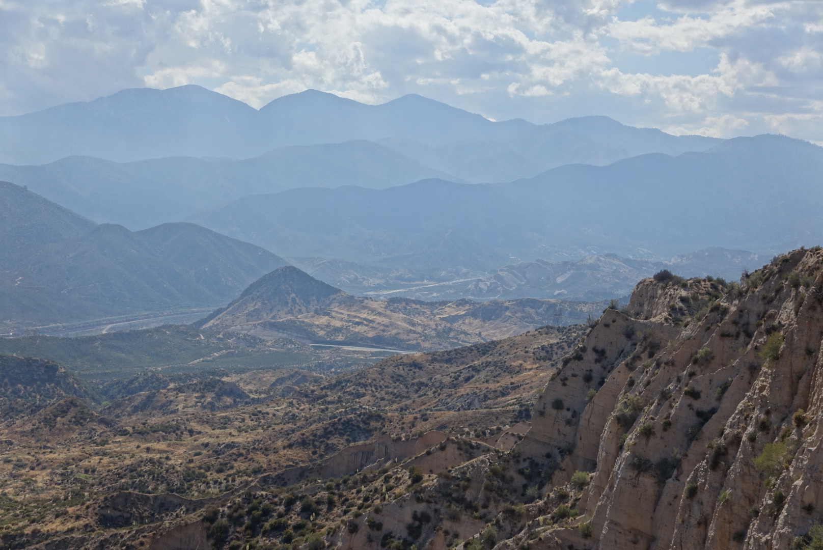
After the lake, the trail led up, up, and up. We turned a corner, and were suddenly greeted with an enormous panorama of Cajon Pass – rugged desert hills with a backdrop of layers upon layers of mountains, with long freight trains slithering their way through the landscape.

Unfortunately, I did a poor job taking pictures of it, but here’s what I’ve got. It was my favorite view so far.

image

image

image

image

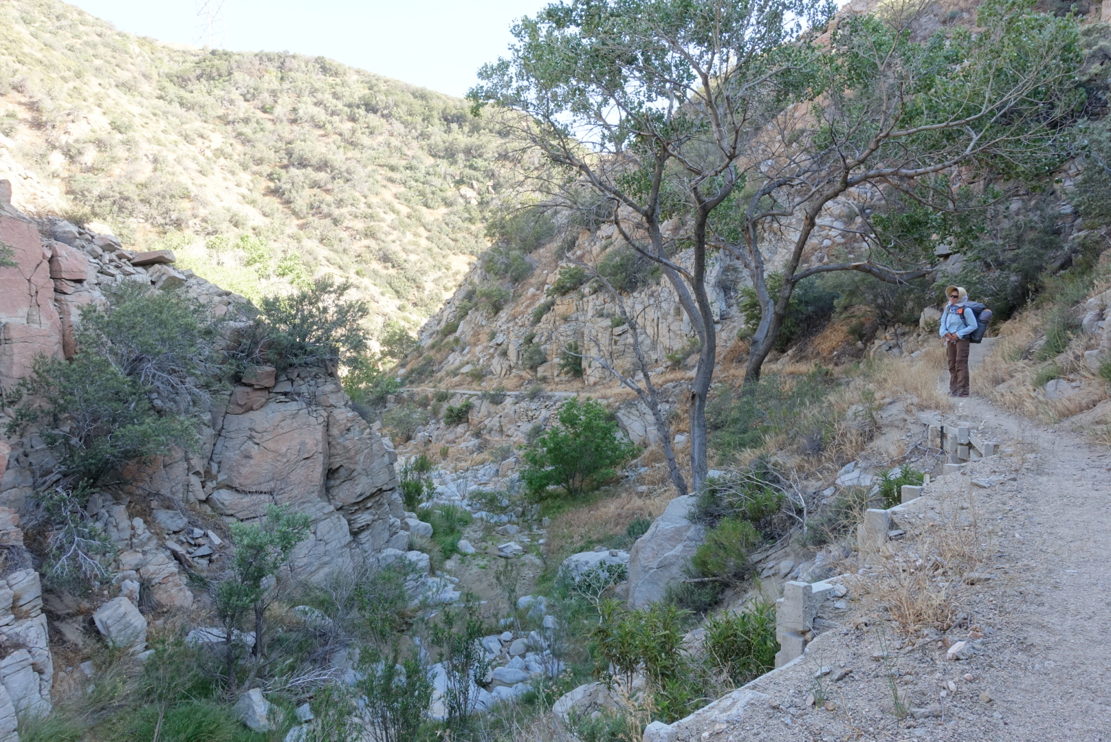
Descending from the vista, the trail entered a pleasant, shady valley, just a few dozen feet from a busy highway. The drivers probably have no idea it’s there

image

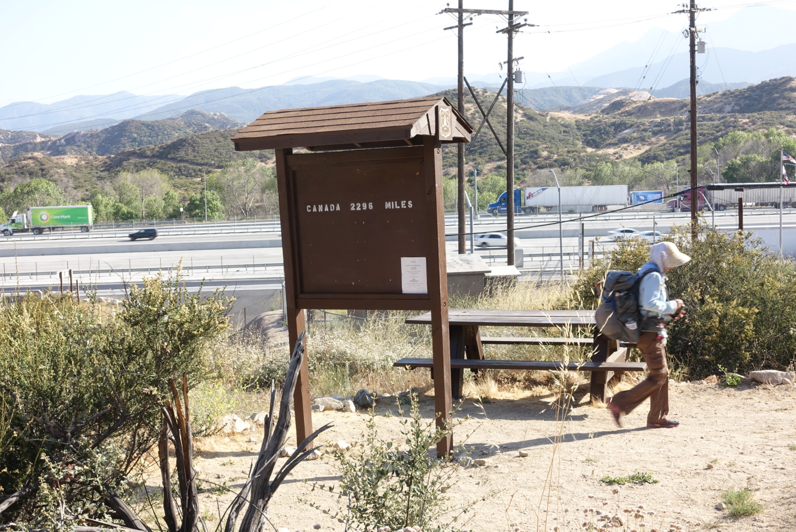
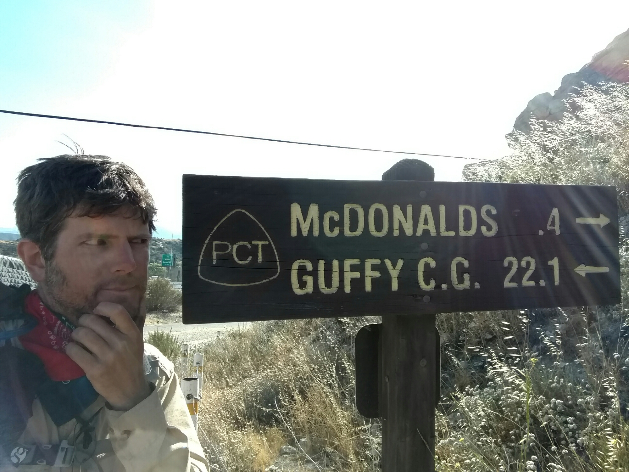
Cajon Pass itself is just a freeway junction town, with a McDonald’s, Best Western, and gas stations.

image
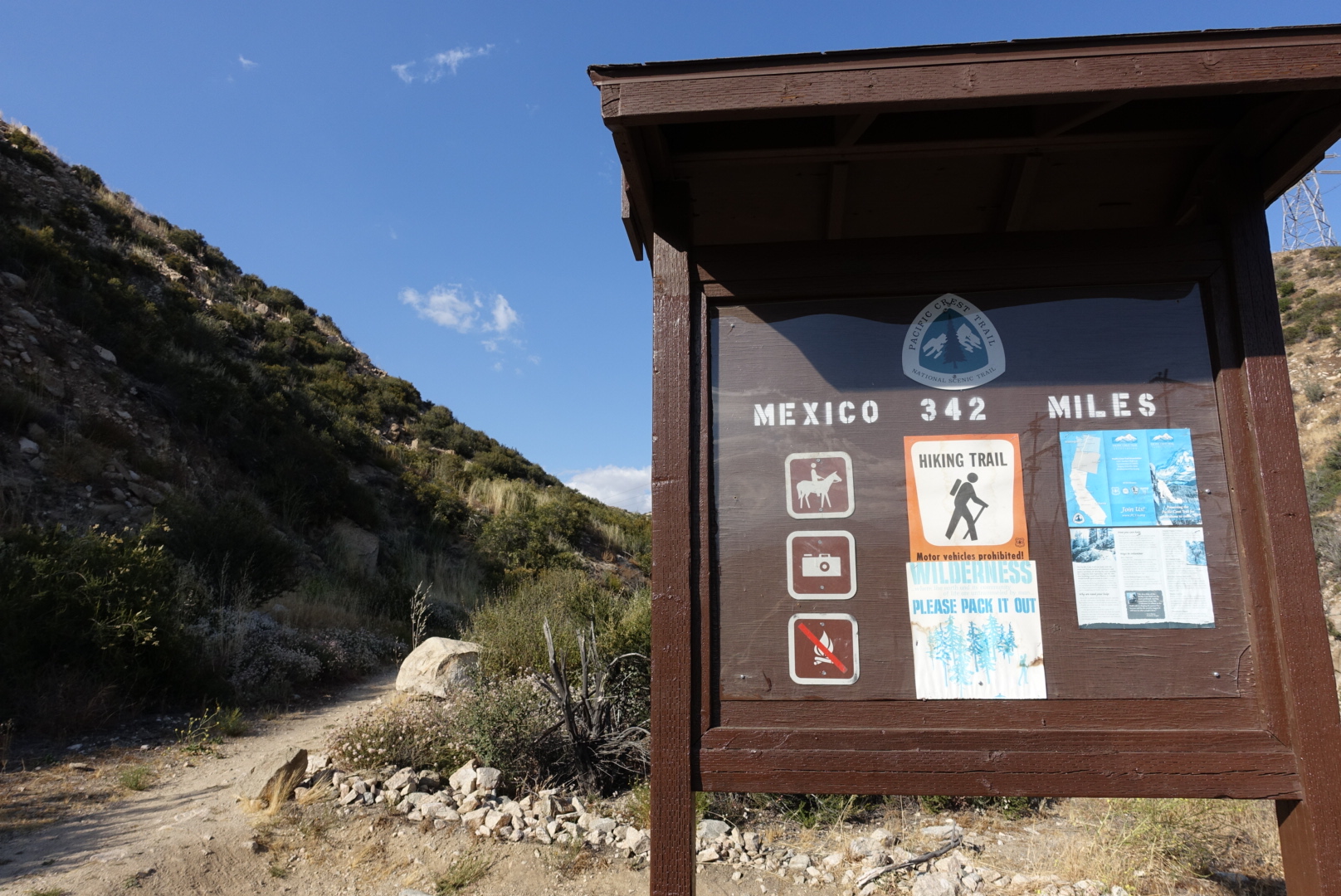
Still a ways to go
image
But 342 miles is not too bad
image
Decisions...

I went to McDonald’s for the first time in years, and was frustrated to find that their menus change while you’re reading them. It took me a long time to figure out an order, and when I did, the only thing that was good was the soda. It wasn’t even very cheap – I really wonder why McDonald’s is still around.

A PCT guidebook recommended the milkshakes at the Chevron station, so of course we tried them. The texture was good, but they tasted like nothing – they’re 2-star milkshakes in a place you’d expect a 1-star milkshake.

We checked into the Best Western, which was known for being friendly to hikers. In fact, the place was almost full, even though there were only a few cars in the parking lot.

Doing laundry, I met a man who was not a hiker, but was spending a 10-day vacation here. He was in Cajon Pass to take pictures of the trains.

I took a hot shower. My left foot turned a much brighter red/purple than my right. They looked like they belonged to different bodies.

With the comforts of civilization at hand, (what’s available at a highway junction, at least), Elizabeth and I watched a terrible horror movie (“As Above, So Below”), drank beer, and went to sleep.

The next morning, I caught a glance of myself in the bathroom mirror – something I haven’t seen a lot of lately. I noticed that the beard I’d been growing on this trip had a lot of grey in it. It occurred to me, making progress on the PCT is a lot like aging. You don’t notice it happening, but if you keep doing what you always do every day, you’ll notice once in a while that it’s happened.