Olallie Lake Store to CS2073 – 8-22

The Olallie Lake Store is just to the west of a small mountain. So, the sunrise doesn’t hit it until fairly late. This, coupled with the fact that the backpackers’ tenting area was in the trees meant that most hikers, including me, got up fairly late.

As I went about my morning tasks, a couple groggy, hungover southbounders asked about the spring again.

Since I was next to a store, I wanted some town food for breakfast, but the choices were limited. The Olallie Lake Store only has power when the generator is running, and it usually isn’t. So the things they sell are mostly trail food. I settled on coffee and Hostess little chocolate donuts — both things I could have on the trail. The total cost for these meager provisions was $5, plus $1 for refilling the coffee.

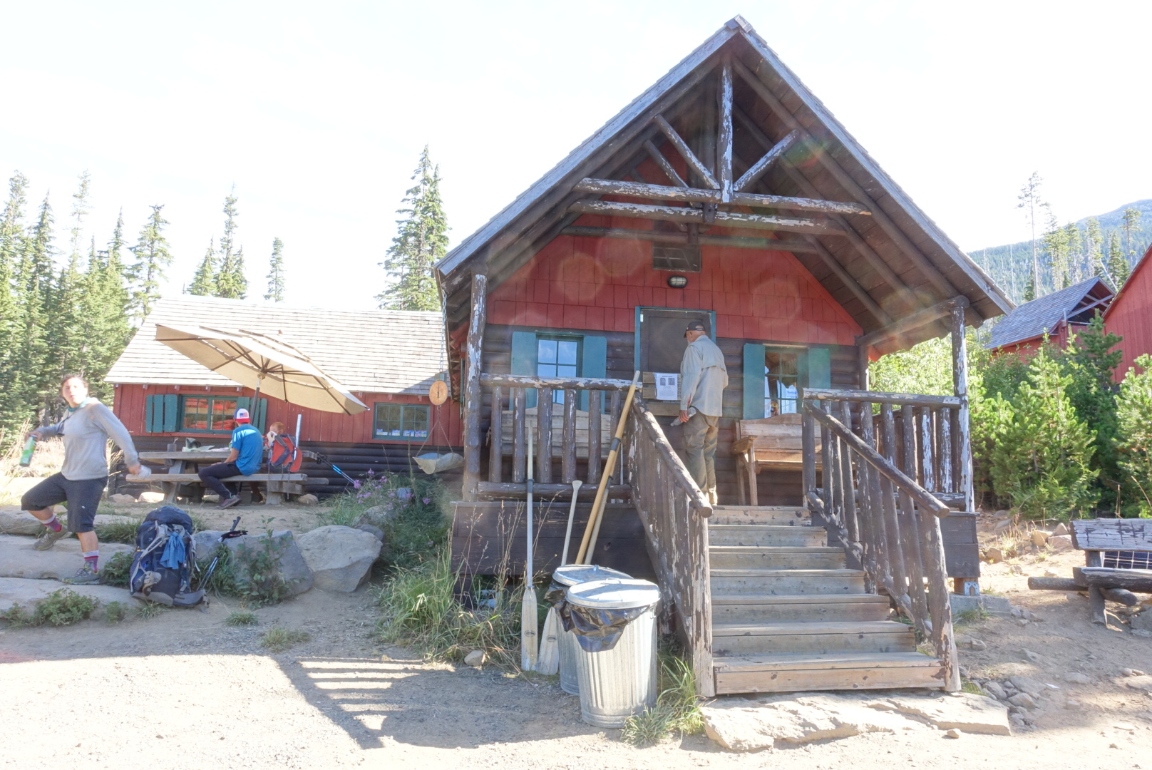
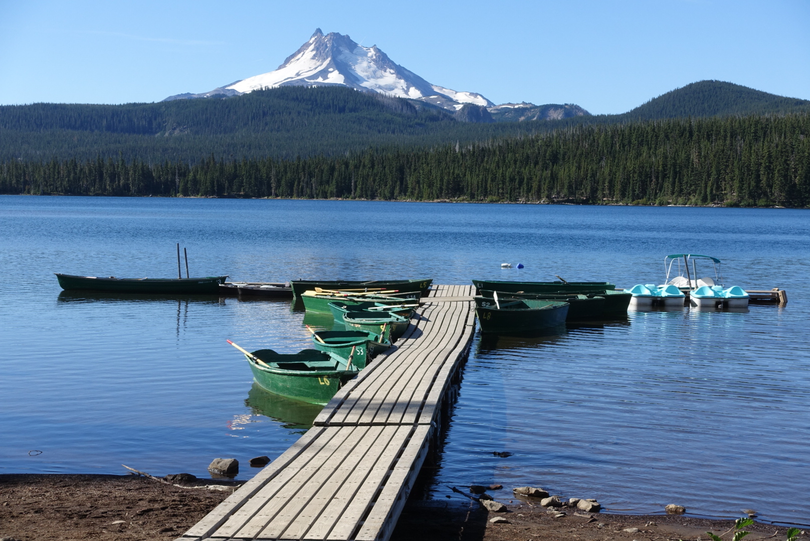
But, sitting on the front porch of the store, sipping hot coffee on a cold morning, looking out over the lake, was well worth it. I had a long chat with a retired hiker doing the Oregon section. We chatted about who backpacks and why, as the coffee warmed me up for the day.
image
The front porch
image
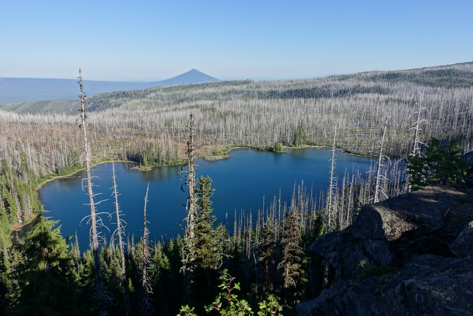
The lake

After all this, I wasn’t actually on the trail until about 9:45 — a tremendously late start. This wasn’t a big deal, though, because my next resupply was at the Timberline Lodge, about 50 miles away — probably 2 easy days. I could try to get there earlier in the day, but the all-you-can-eat breakfast there was famous.

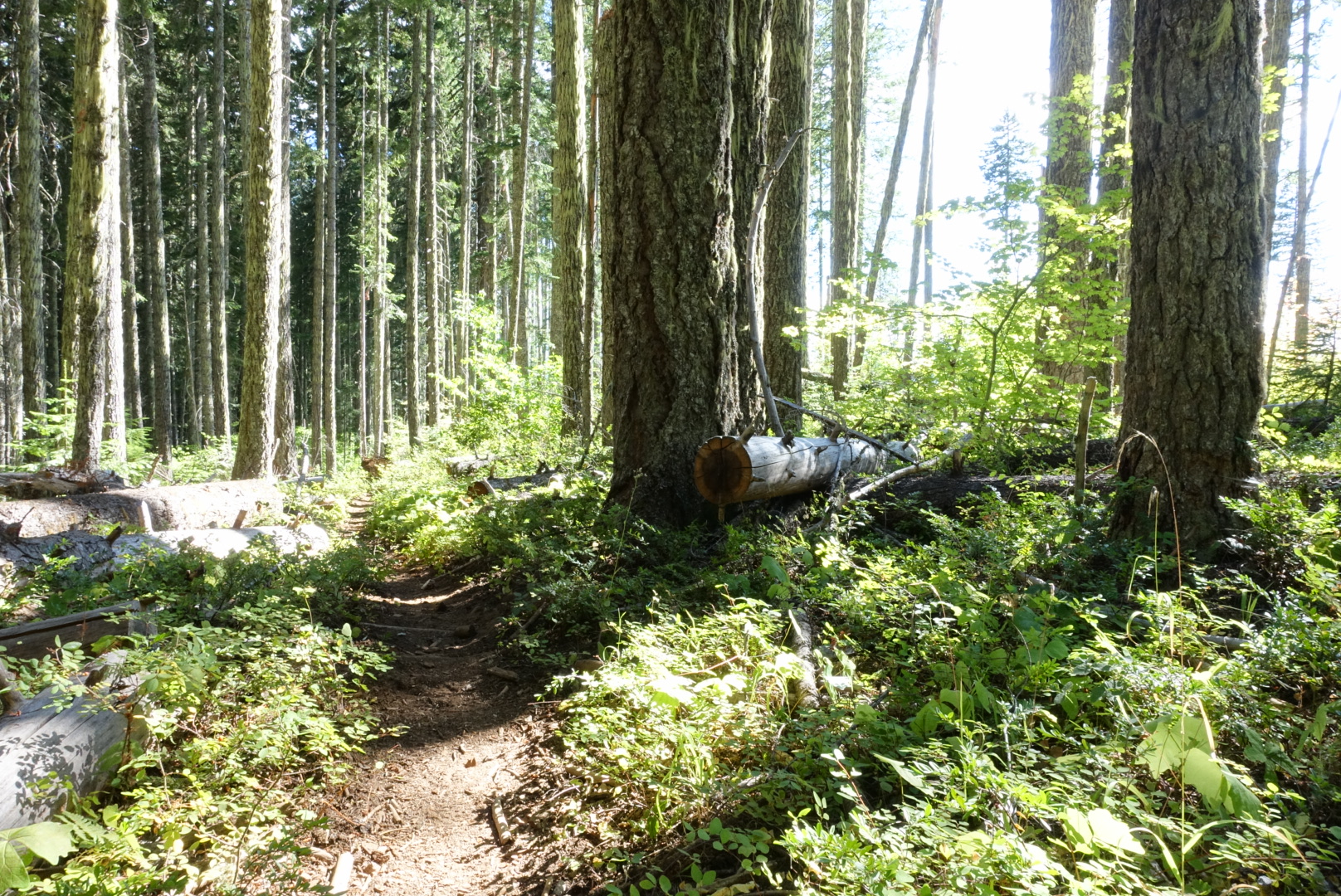
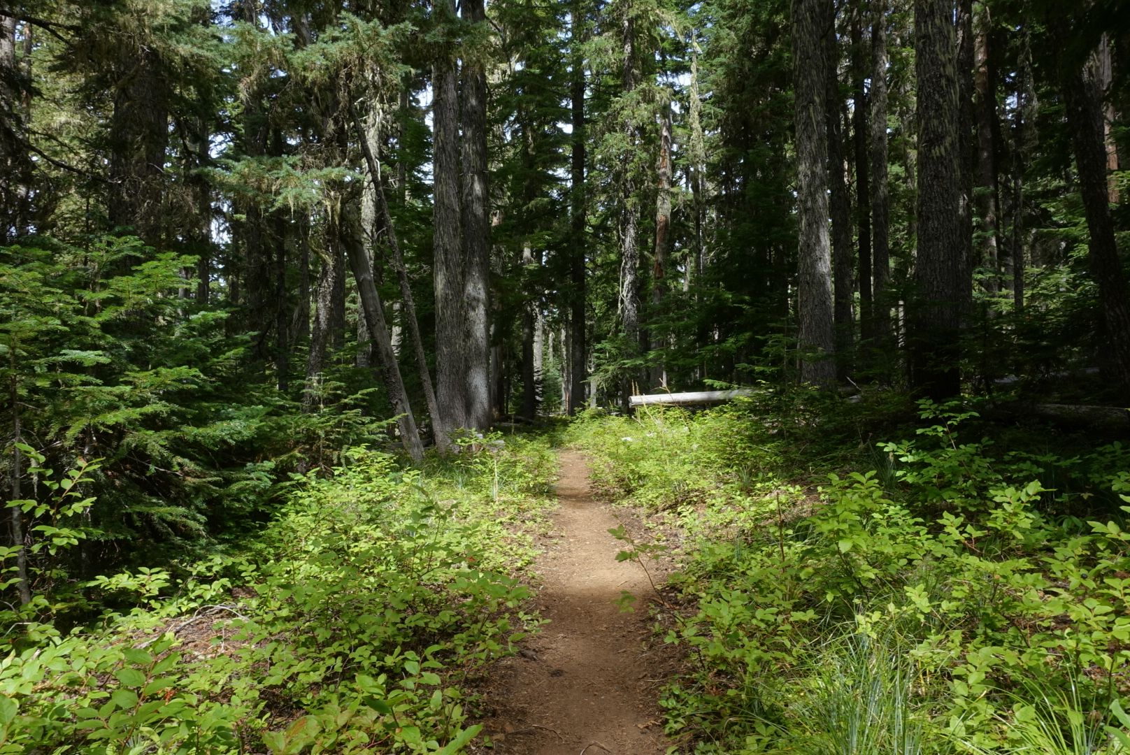
The trail today was standard Oregon: Tall conifers, with knee-high berry bushes on either side, and elevation changes that were gentle and few.
image
Trees, berries, flatness: Oregon
image
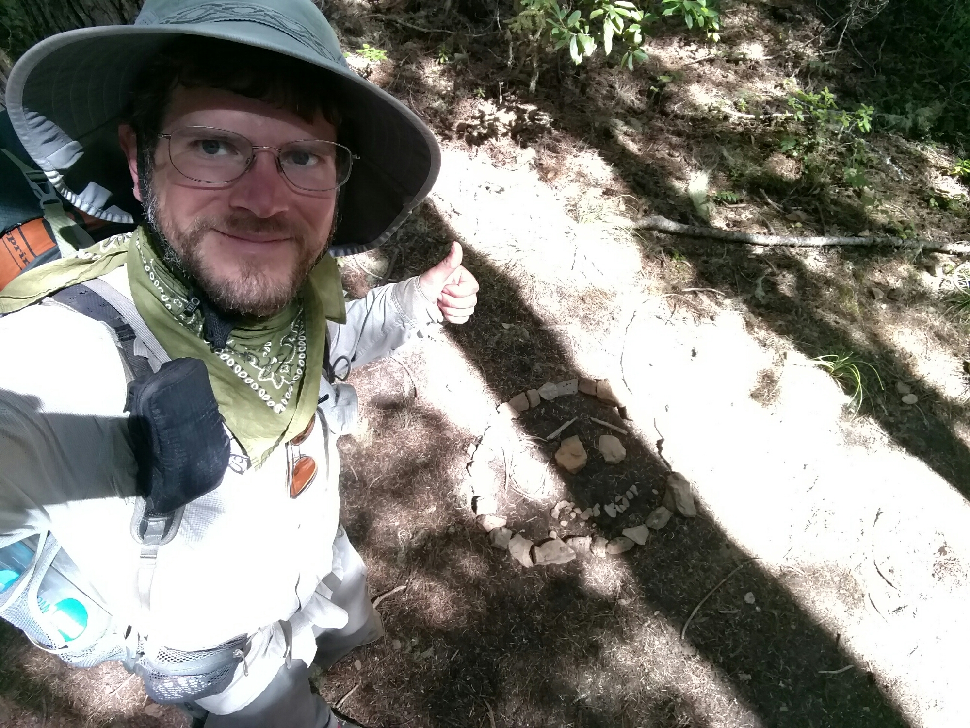
With a little imagination, this spells "600", the mileage left to the end
image
This has an interesting implication -- it means the PCT doesn't cross just one nation
image
More easy Oregonian trail
image
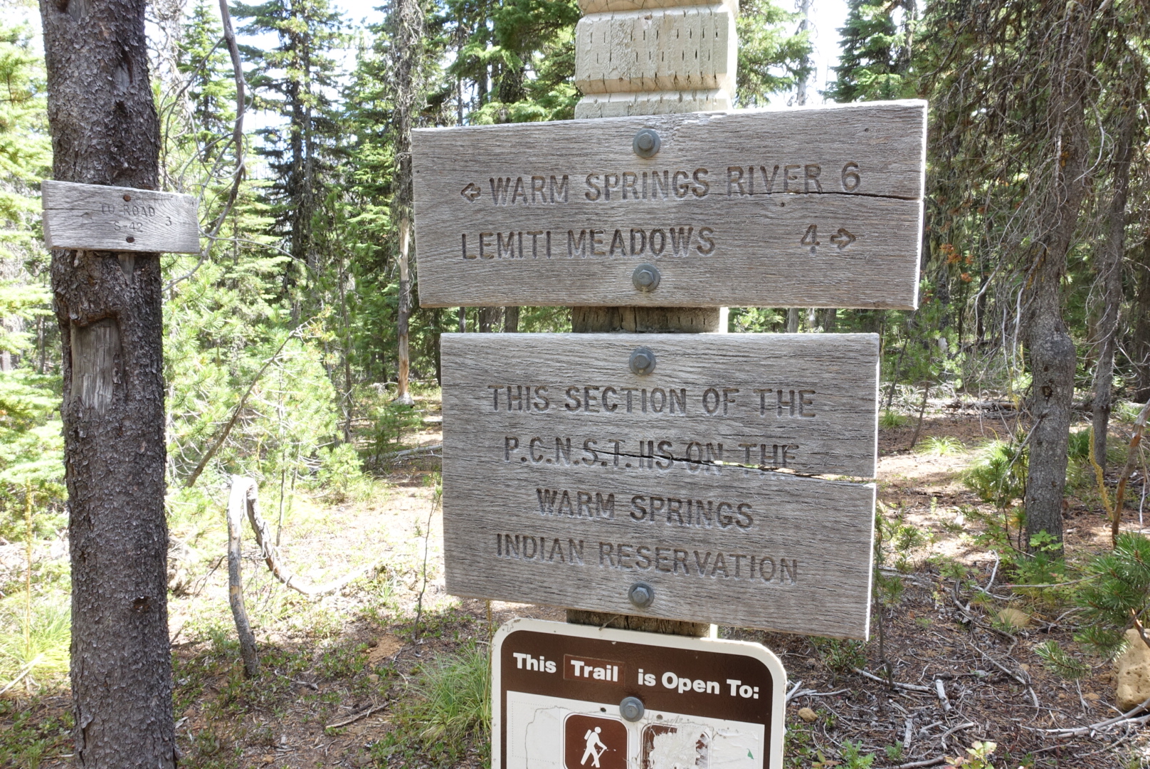
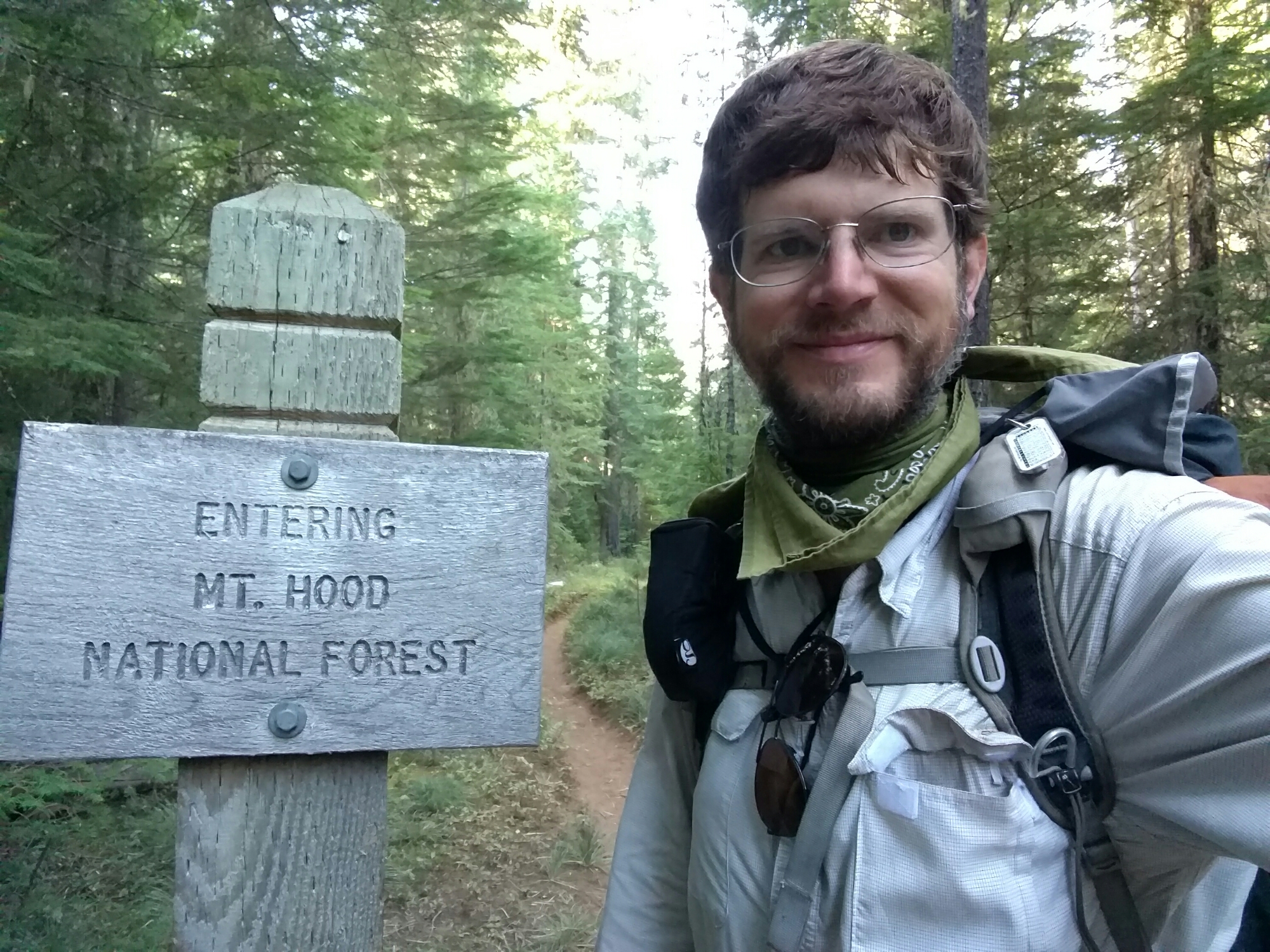
A new regulatory boundary
image
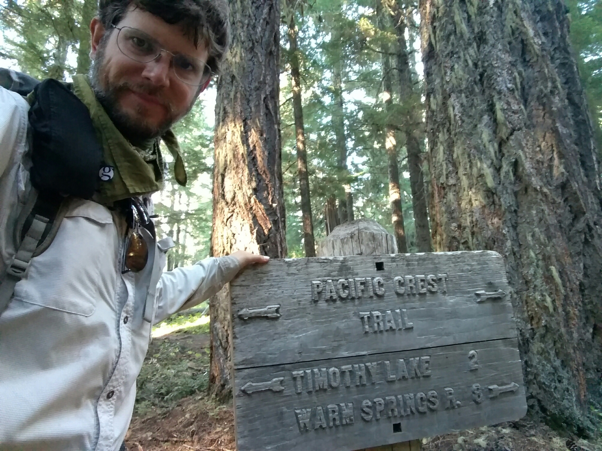
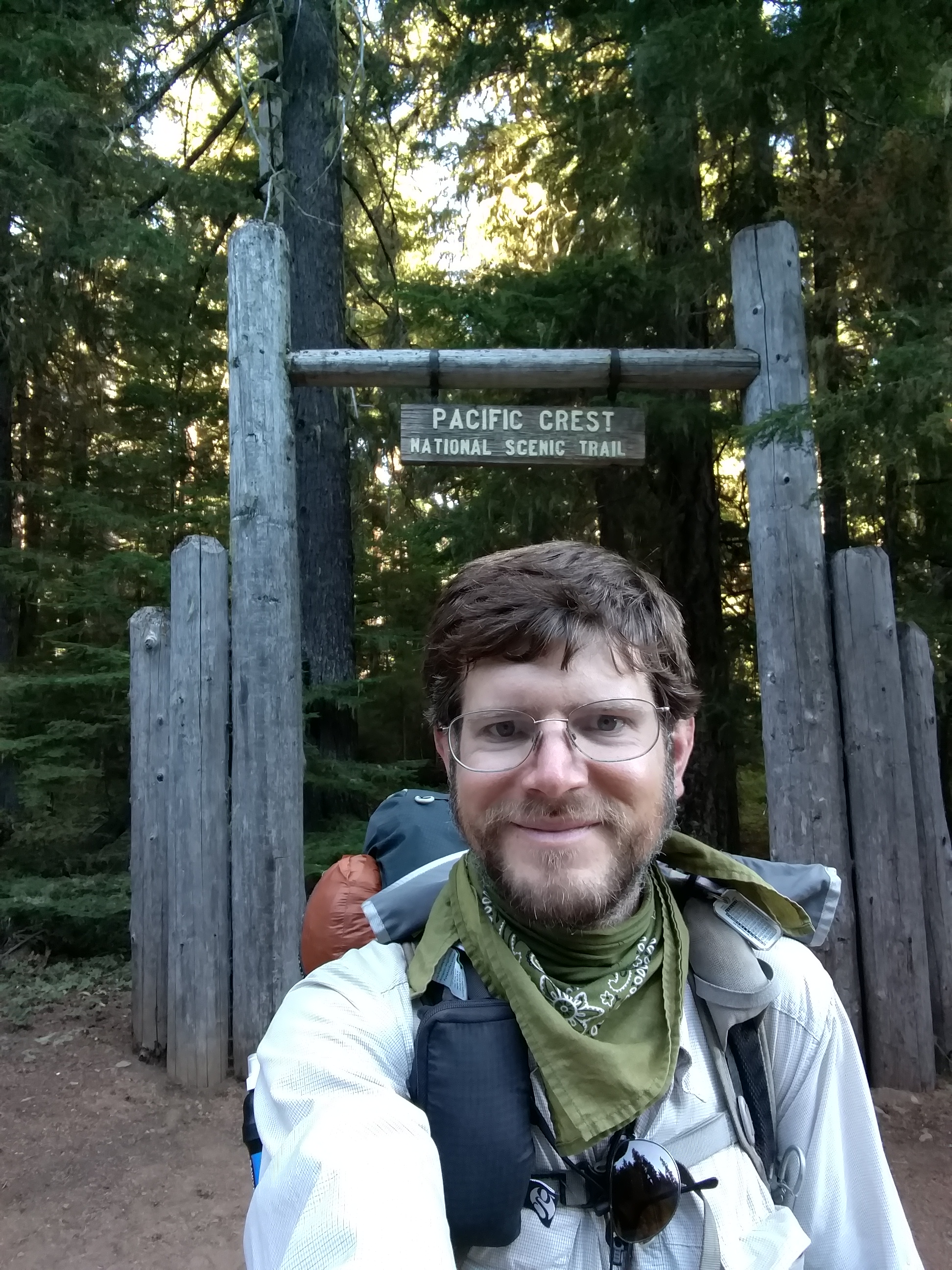
They carve signs different in Mt. Hood National Forest
image
And, they know how to decorate a trail

In fact, the trail was so gentle, I got going really fast. I’d seen Bill and Breanna’s names on a list of Olallie Lake campsite users, and thought I might be able to catch them.

The miles flew by, one after another, all day.

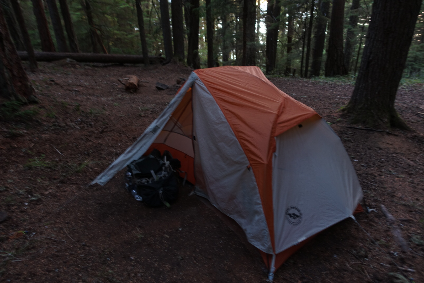
When I finally got to my target campsite, I wasn’t the first to arrive. There were already two backpacks there. They were similar to what I remembered Bill and Breanna carrying. There was a bear canister there, even though bear canisters weren’t required here — Bill always used a bear canister, even in the desert. There was a two person tent pitched in the center of the campsite.

Instead of people, though, there were two pairs of shoes. Probably their owners had gone downhill to the lake. So I set up camp, and started eating dinner, wondering if Bill and Breanna were out swimming.

As I ate my third tortilla, a young couple I hadn’t met before came up from the lake. We had a brief chat about today’s trail, and went to bed.

In the end, I passed just about everybody I’d seen at Olallie Lake, but never saw any sign of Bill or Breanna.

Today may have been my fastest day, though it wasn’t my longest — over 30 miles in 9.5 hours, lunch included.
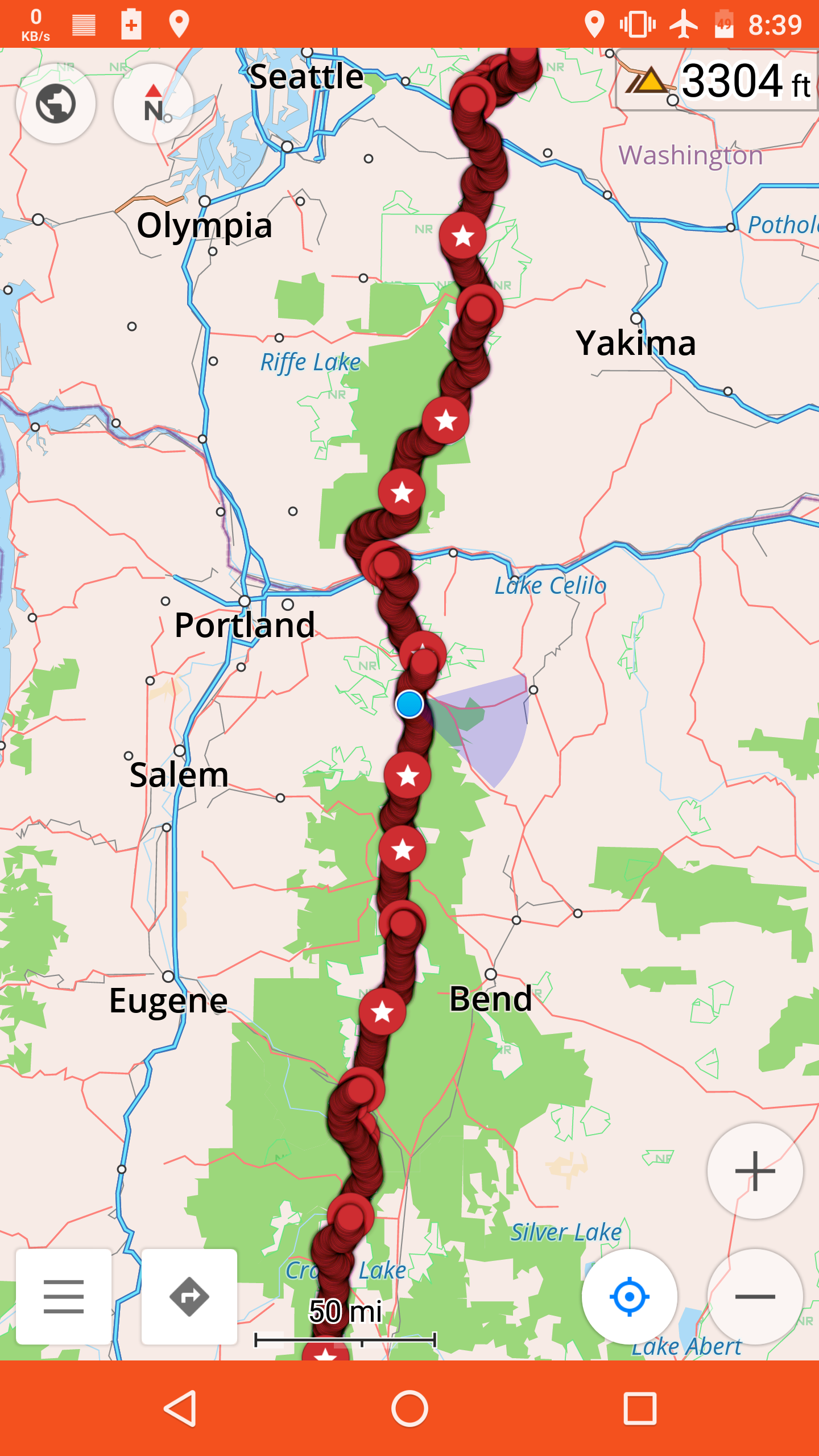
image

image
45.12003, -121.76606

CS2016 to Olallie Lake Store – 8-21

Last night had been cold and windy. The days are definitely getting shorter, and the nights are getting colder. I can’t stay on the trail forever.

image
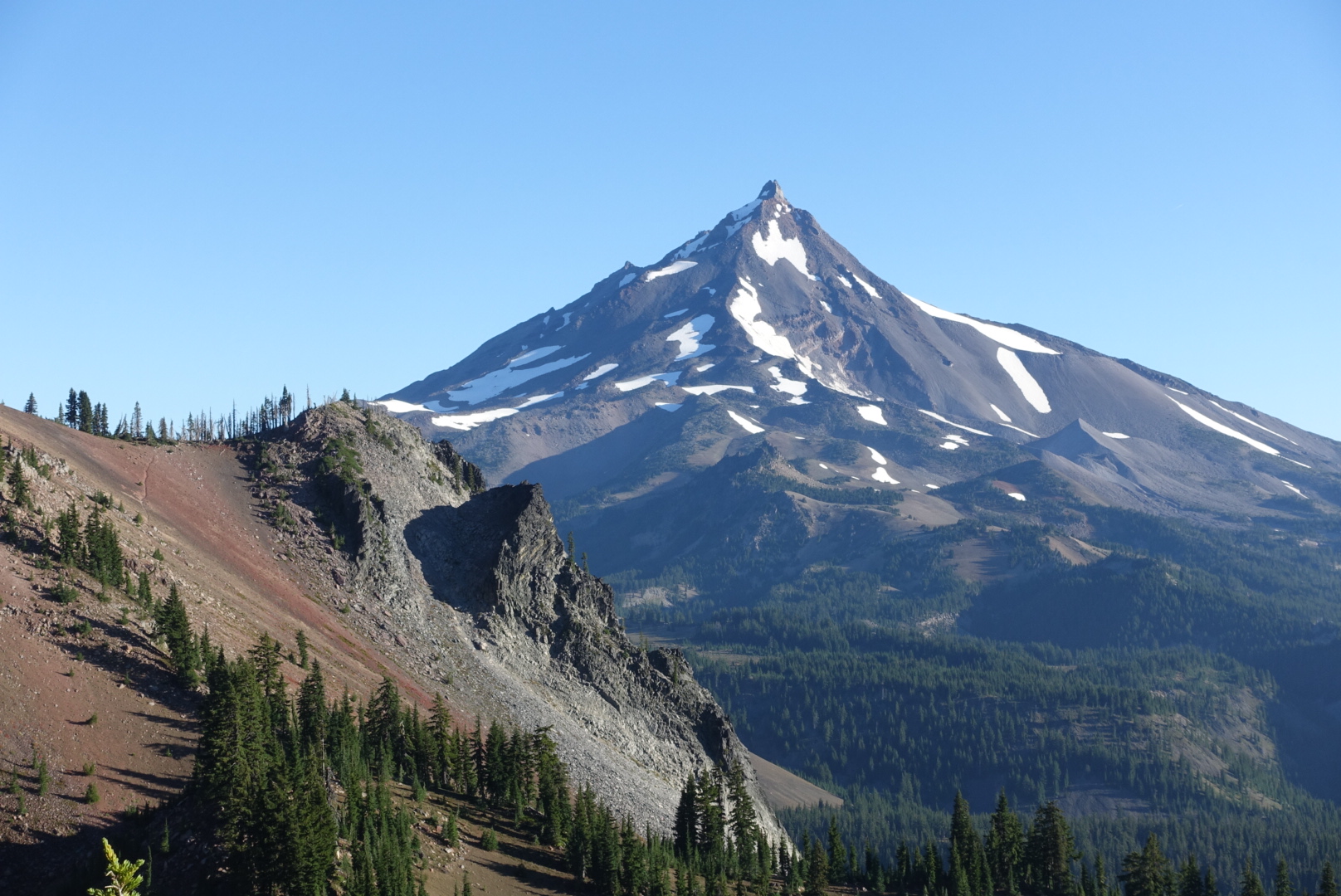
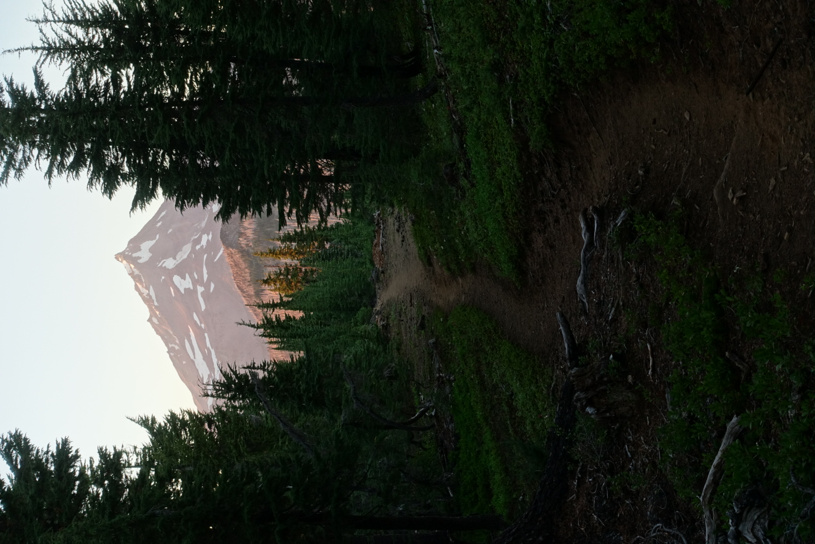
My campsite's view of Mt. Jefferson in the morning

Today had many, many water sources. Ponds, lakes, streams, and so forth — they were all there today.

image
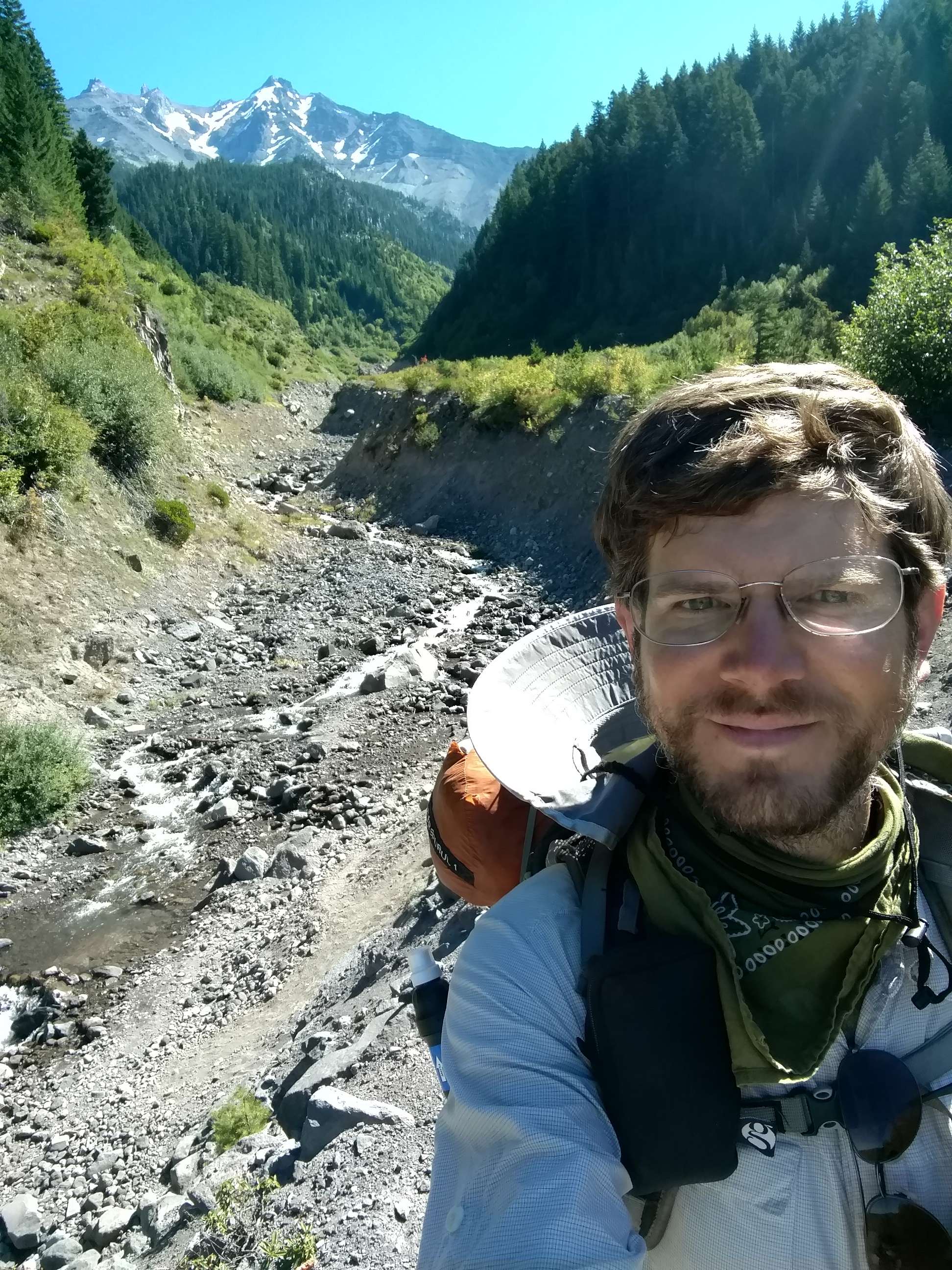
A fast-flowing stream of snowmelt

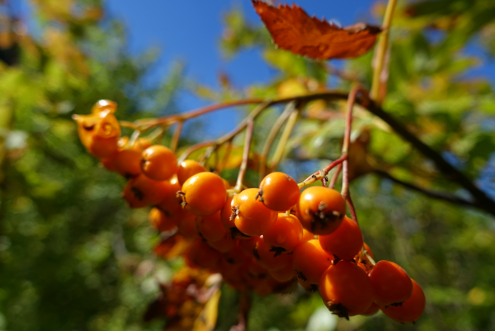
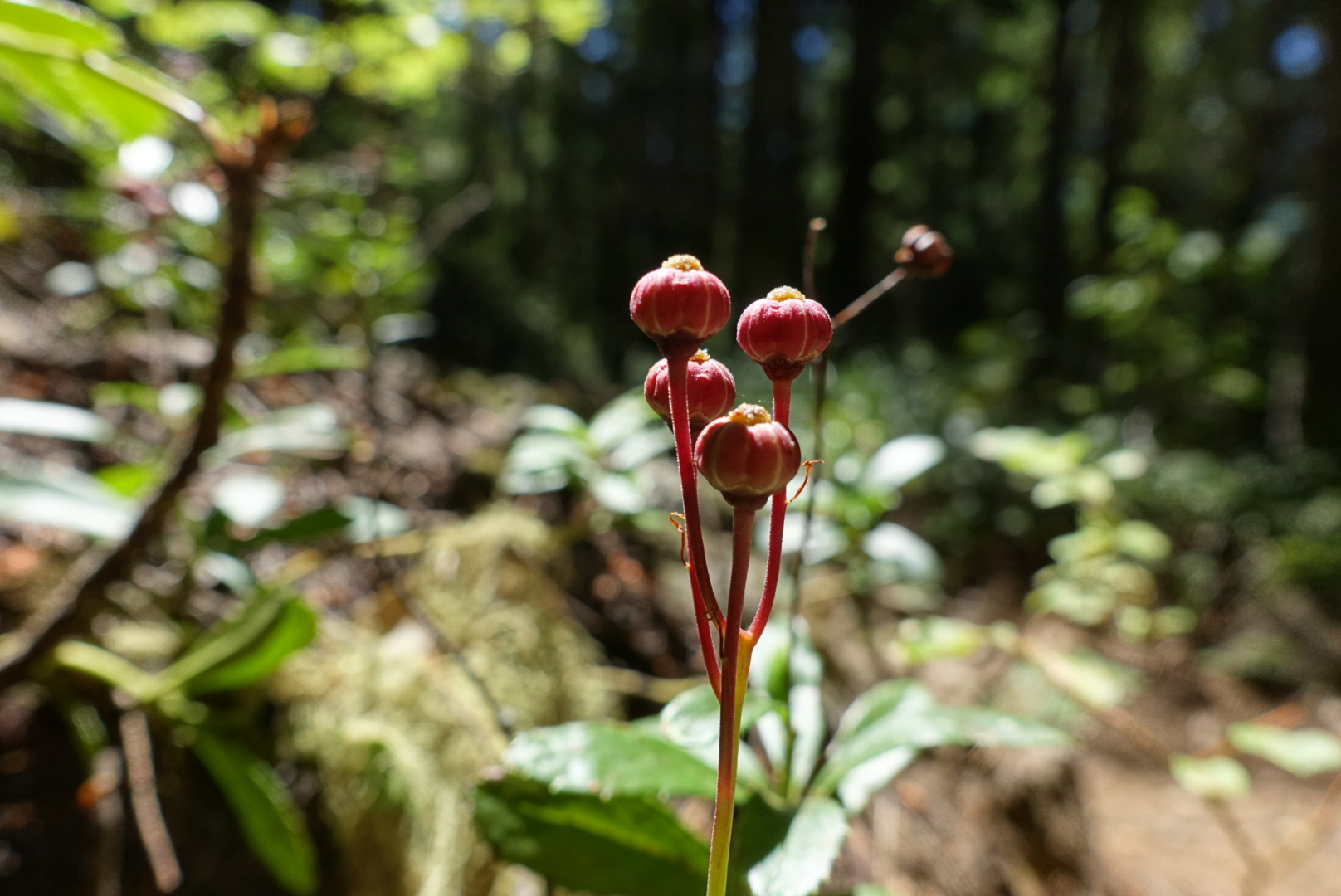
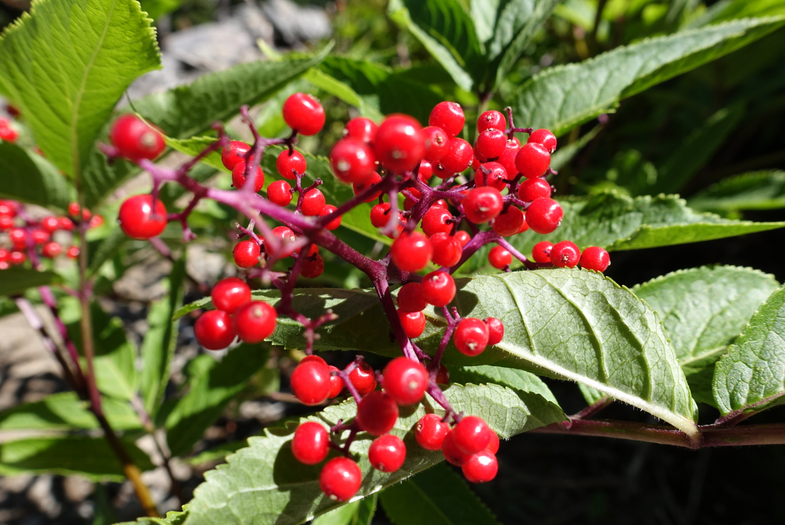
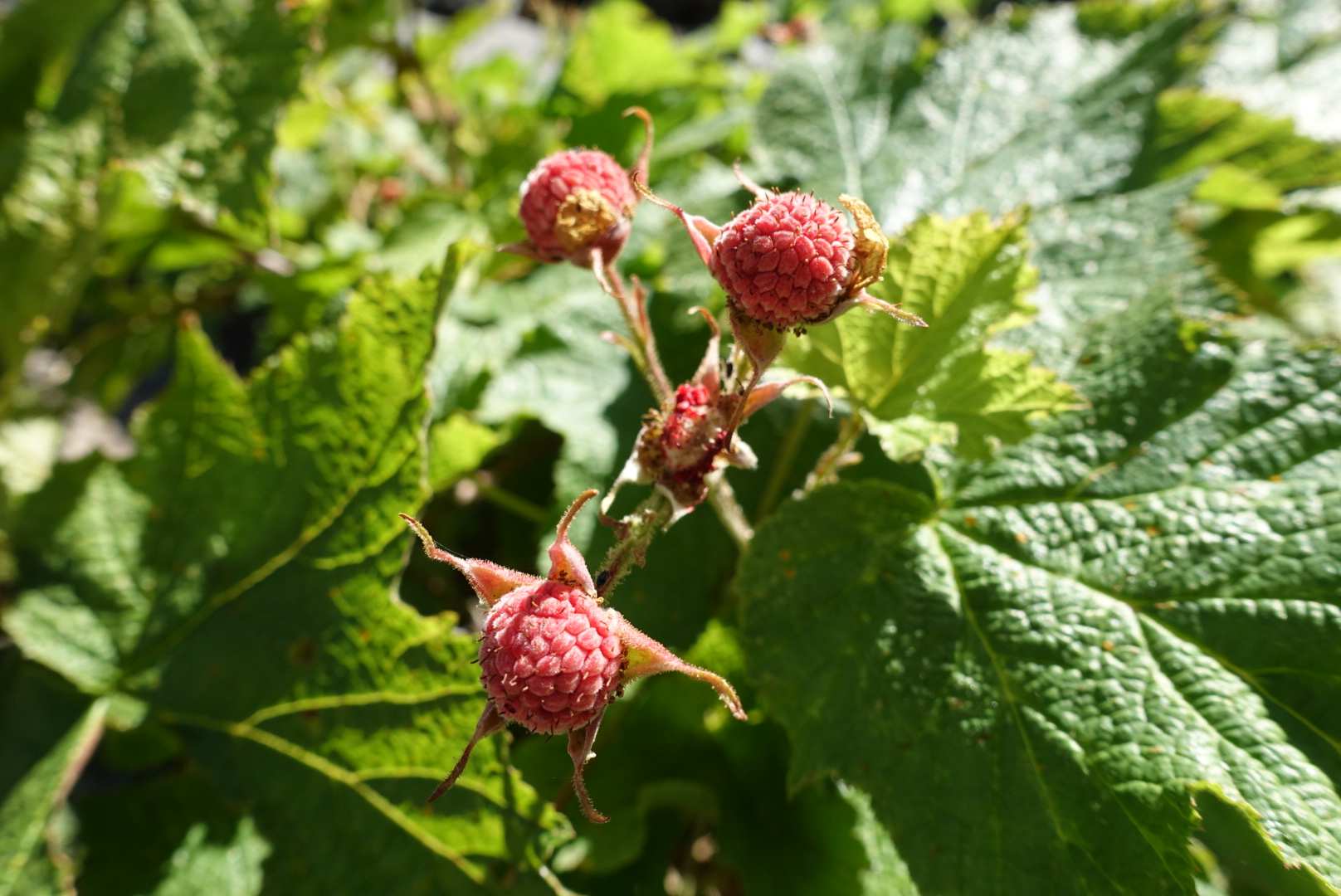
Oregon’s berries were out in full force on this part of the trail, too.

image

image

image

image

As the day wore on, I got pretty hungry, but the scenery just kept getting nicer.

image

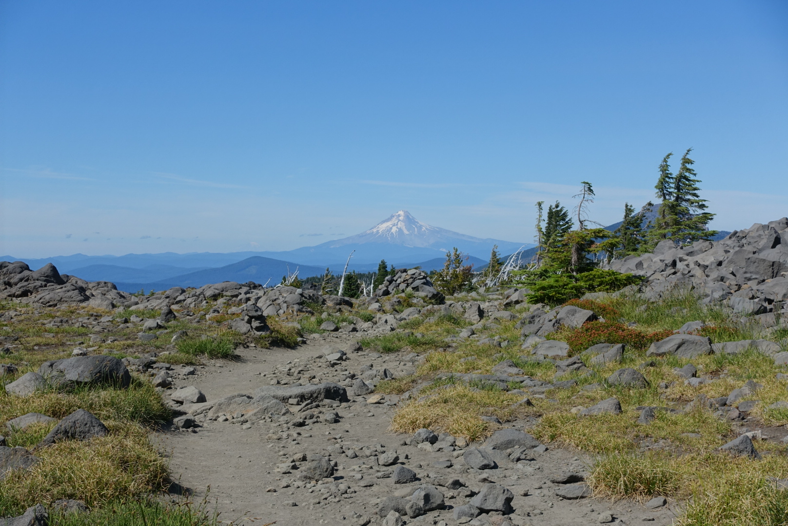
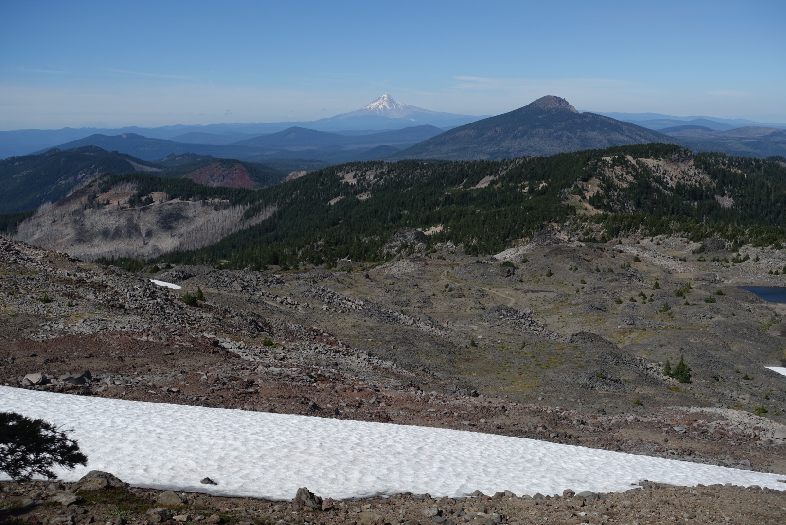
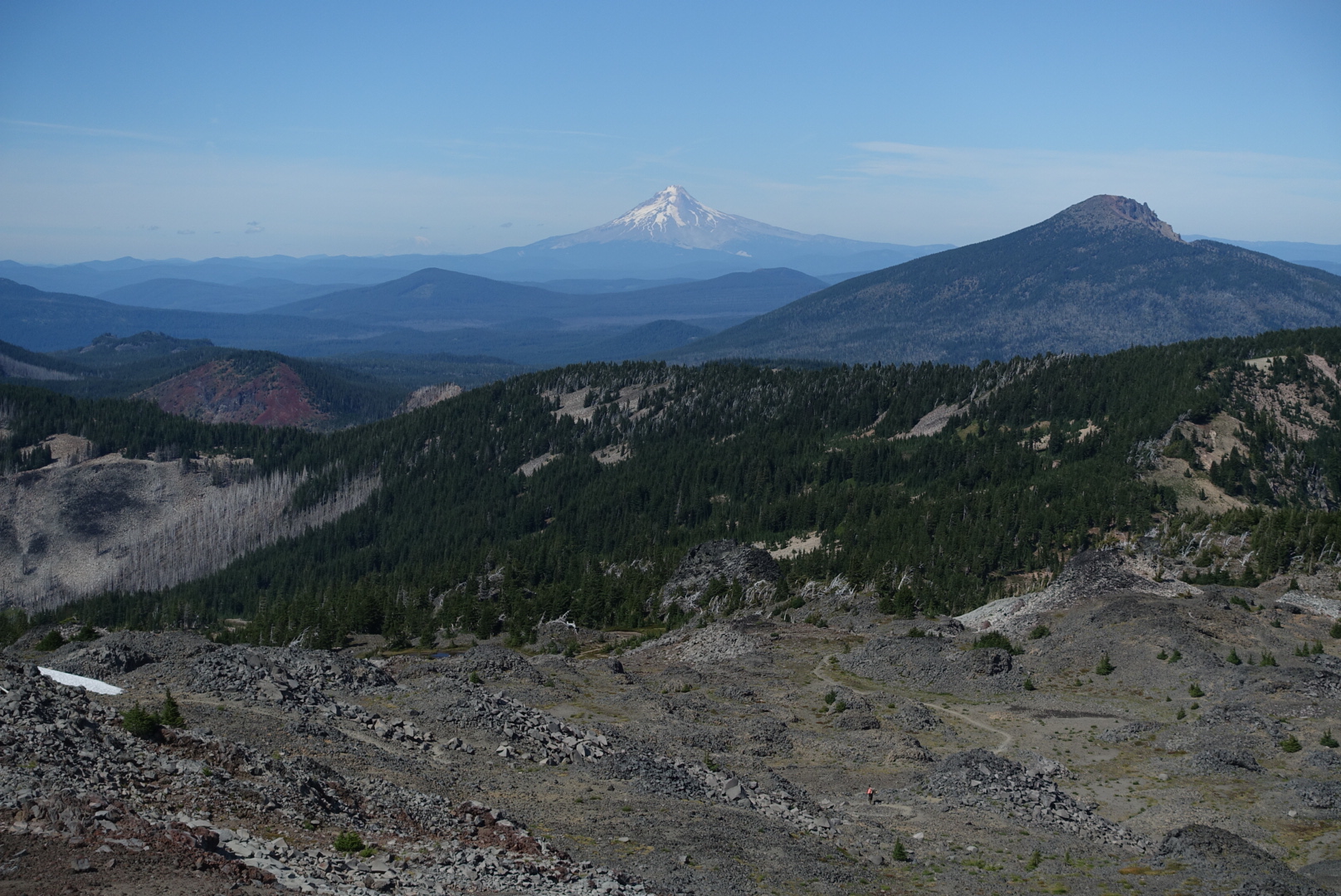
A new mountain made an appearance in the distance today. I think it’s Mt. Hood.

image
As long as it's not Shasta, I'm happy

A high pass brought back something I’d thought I left behind in the Sierras: Snowfield crossings.

image

The altitude wasn’t that high — about 7000 feet — but the terrain was very reminiscent of the high passes of the Sierras.

image

image

image

image
Complete with a high-altitude meadow
image
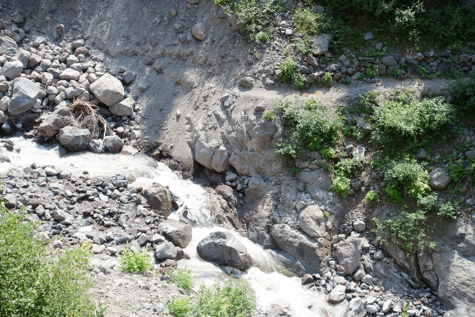
There was even a tricky stream crossing
image
Proof that I'm still on the PCT: This sign is held in place with dental floss

The food situation was pretty bad today. As I got hungrier and hungrier, I got slower and slower. The 7-hour stretch from my small lunch until dinner was rough.

But I got to the Olallie Lake Store before closing, and got my fill of food. The store’s picnic tables were a gathering point for hikers, so we sat and chatted about the trail until late tonight, then set up camp in the woods next door.

Next to my tent, some southbound PCT hikers sat at a picnic table, illuminated by an eerie green lantern, and speculated about trail I’d just been on. They brought up the Big Lake Youth Camp, and it’s free laundry and showers. I relayed to them what Elizabeth had told me — that it not only had laundry and showers, it also had free breakfasts and bag lunches. This boggled their minds.

Just before getting into my tent I warned them about the nonexistent spring. They thanked me, and I went to bed.

image
44.81377, -121.78996

Santiam Pass to CS2016 – 8-20

Visiting Bend was a lot of fun. There were many great places to eat, resupplying was quick and easy, and I was able to replace my slow filter at an actual REI.

image
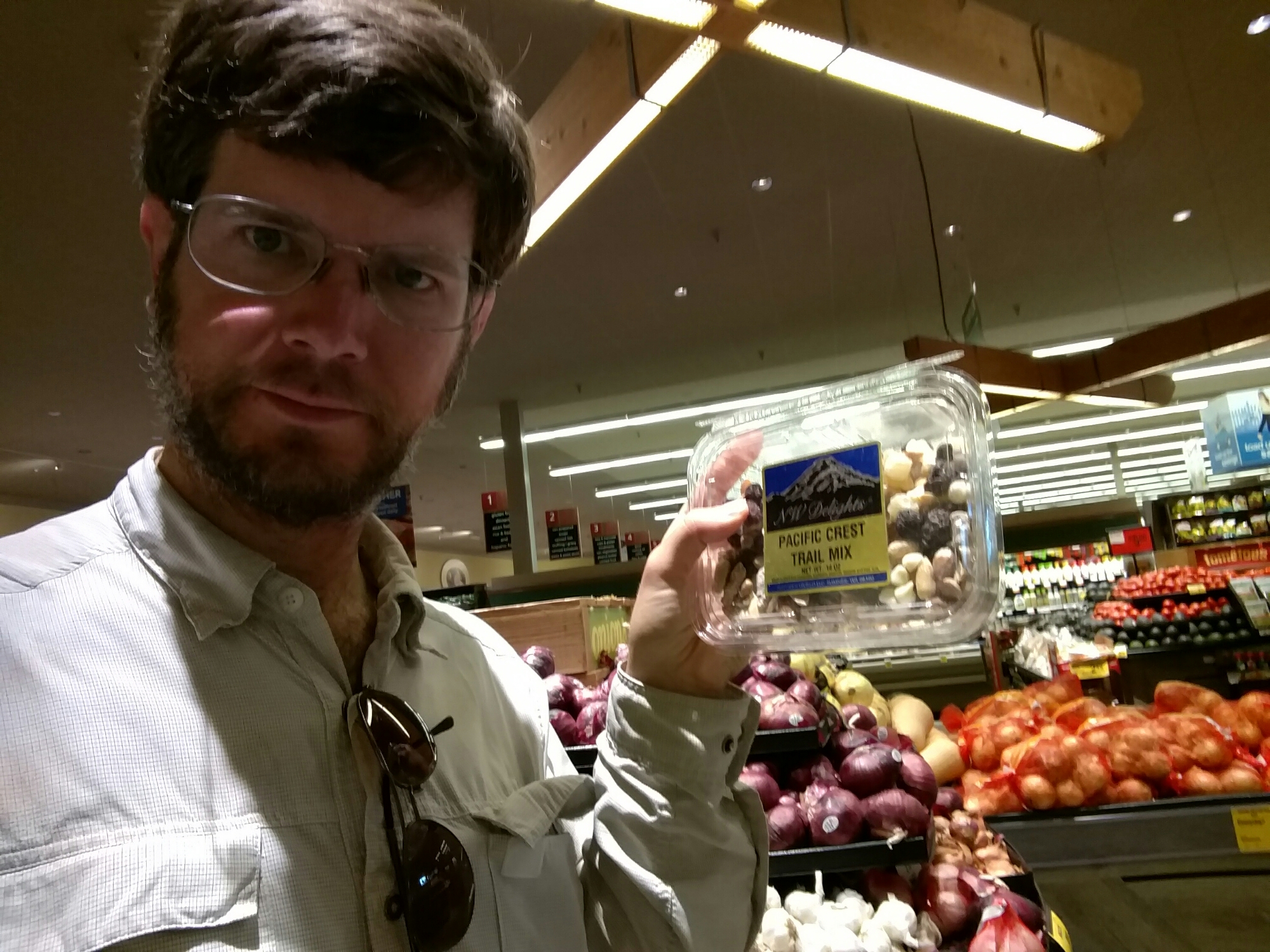
The local Safeway had some funny ideas about how to package hiker food, though

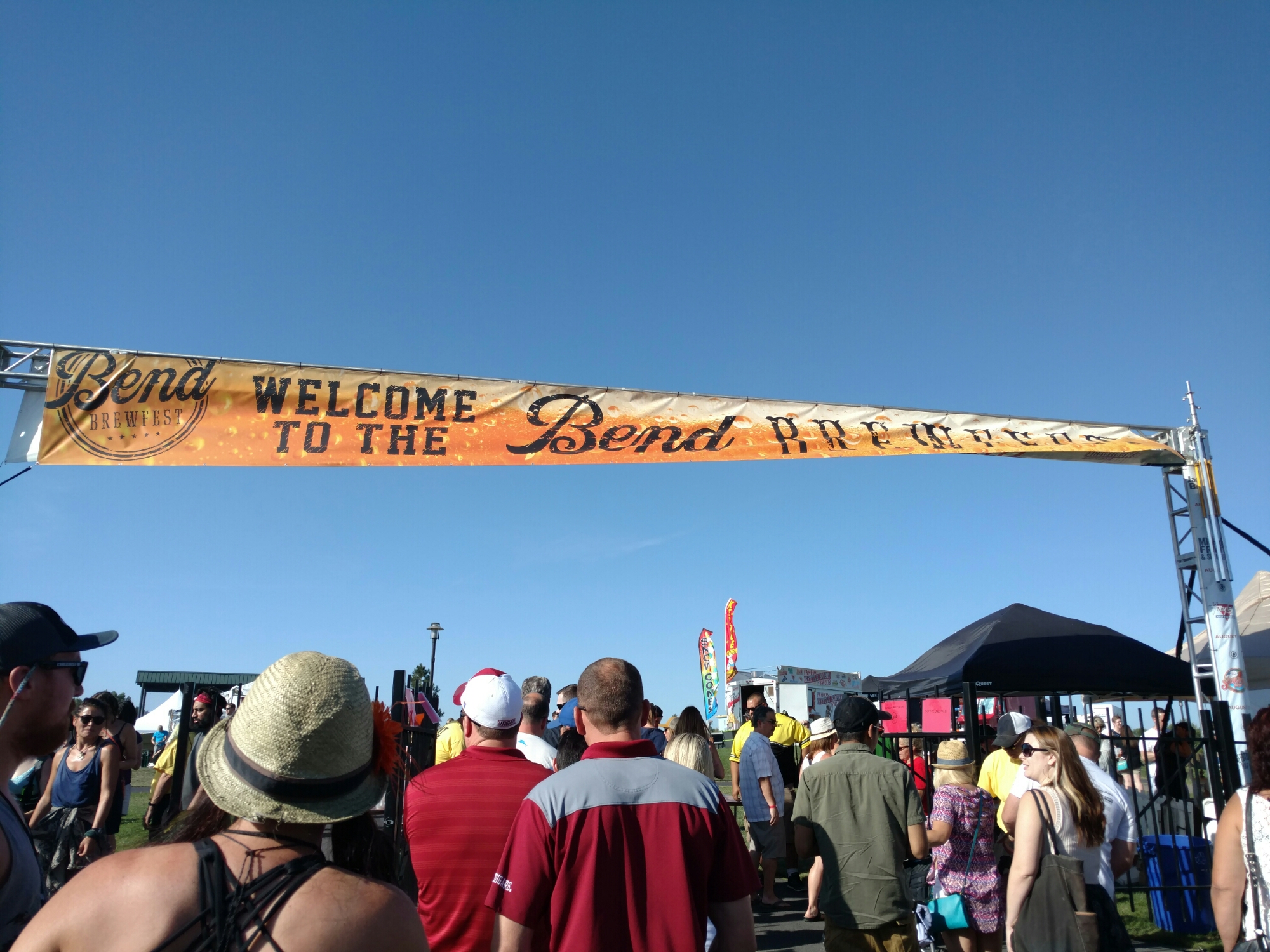
I happened to be in town during a beer festival called Brewfest. Bend being something of a center for brewing (there are more than a dozen breweries in this fairly small town), Brewfest is a major event.

image
People came from near and far. Which is probably why hotel prices were so high.

Sadly, I was feeling carsick by the time we got to the event, so I couldn’t really properly enjoy the festival, but I found a couple new beers I liked. It seems I get carsick much more easily since I’ve been hiking.

image
One problem with American brewing: Everybody's specialty is an IPA.
image
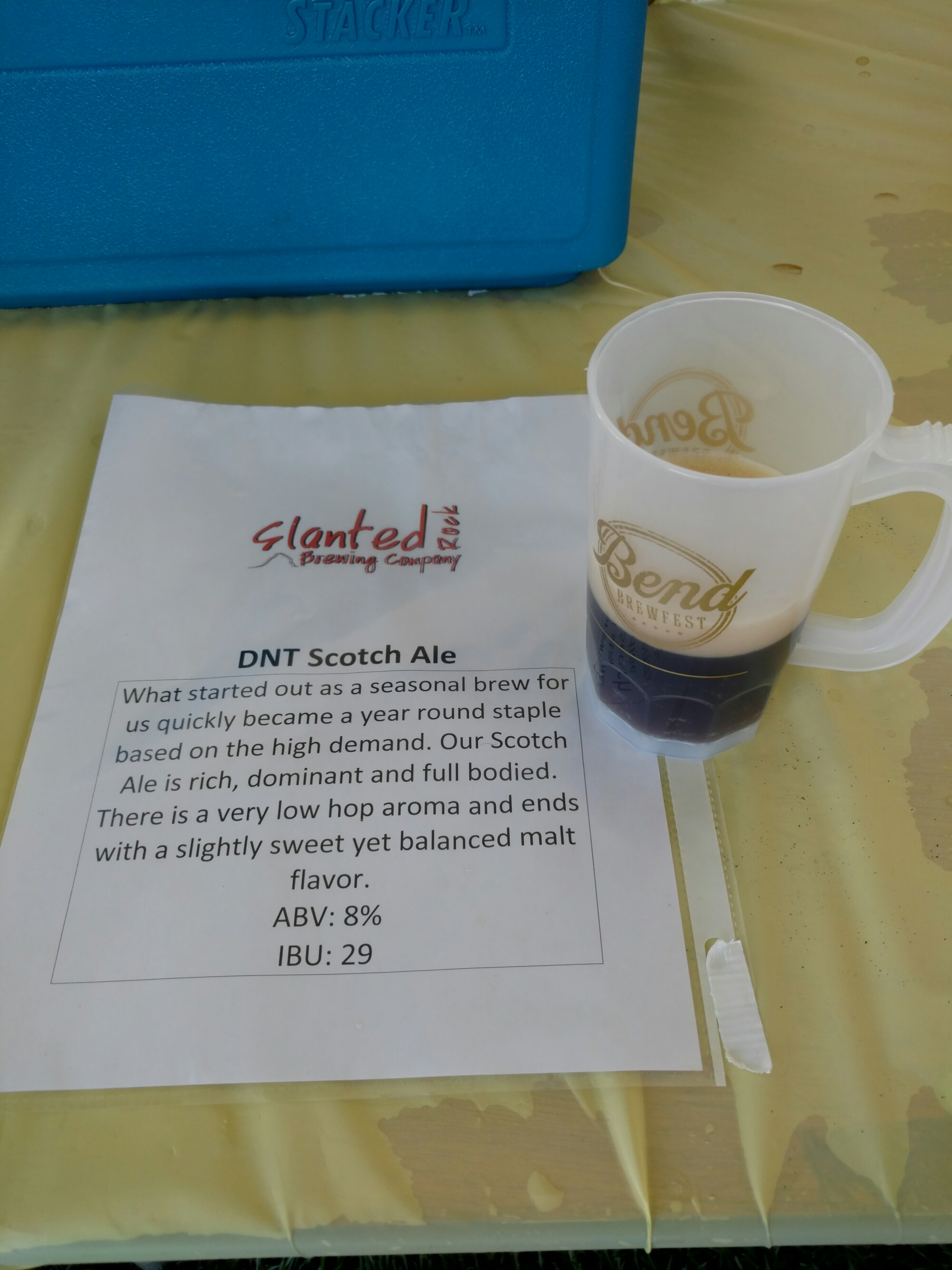
One of my favorites, Slanted Rock's scotch ale. My other favorite was Deschutes' strong ale "Irish Water".

The time to leave town came way too soon, and I found myself on the trail at about 2 in the afternoon after only one full day in town.

What’s more, I hadn’t packed quite enough food. I’d gone light on the meals, and didn’t count out the snacks properly. Further, I’d been planning on leaving town with my belly stuffed, but I’d felt carsick, and couldn’t eat all that much for lunch (just an egg salad sandwich, a few fries, and a three-star chocolate milkshake at The Depot Cafe in the town of Sisters). And, I’d slept late and skipped breakfast. I’d definitely finish this stretch hungry.

And, I hadn’t looked at the water report before leaving. Standing in the parking lot, I realized I had 10 miles to cover in the hottest part of the day, with only 1L of water.

I left the last major town of the PCT in bad shape. I dragged like crazy all day.

image
No mountains or Jeffersons in sight yet
image
There was no monument at the 2000 mile marker. This is where it should've been.

The scenery was nice though.

image

image

image

image
Koko Lake, downhill from where I could finally get water
image
Rockpile Lake, another spot I got water
image
A high-altitude clearing

I hiked late, since I needed to be in range of the Olallie Lake Store tomorrow, or I’d have no dinner.

image
As the sun was going down, I got my first views of Mt. Jefferson

The sunset was very colorful today. In the forest, rich red light filtered through the trees. In burn areas, the light was pink on the white tree trunks. When I finally set up camp, the sun was almost completely set.

image
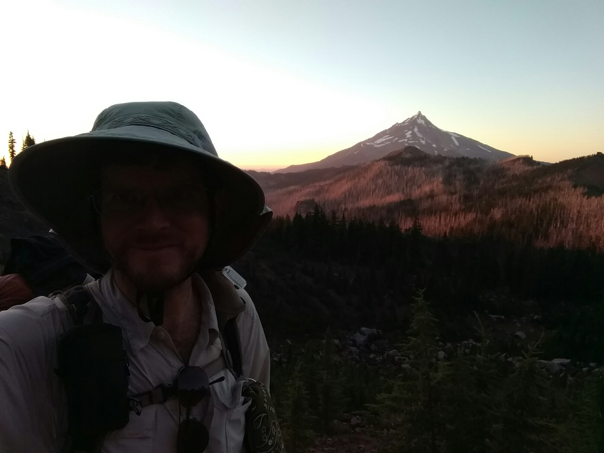
Mt. Jefferson, a burn zone, and me

image

image
44.59854, -121.79689