Trout Lake to CS2251 – 8-30

It was hard to leave Trout Lake. Huckleberry muffins and two cups of coffee helped fuel me up to reach escape velocity, though.

Running some errands in the morning, I chatted with a younger PCT hiker who told me about another brother and sister hiking the trail together, about 2 days ahead of us.

“They’re named Smokey and Brother,” he said.
“Not Smokey and the Bandit?” I asked.
“No, I haven’t met them,” he said, “there’s another Smokey this year?”

Clearly, I’m old.
image
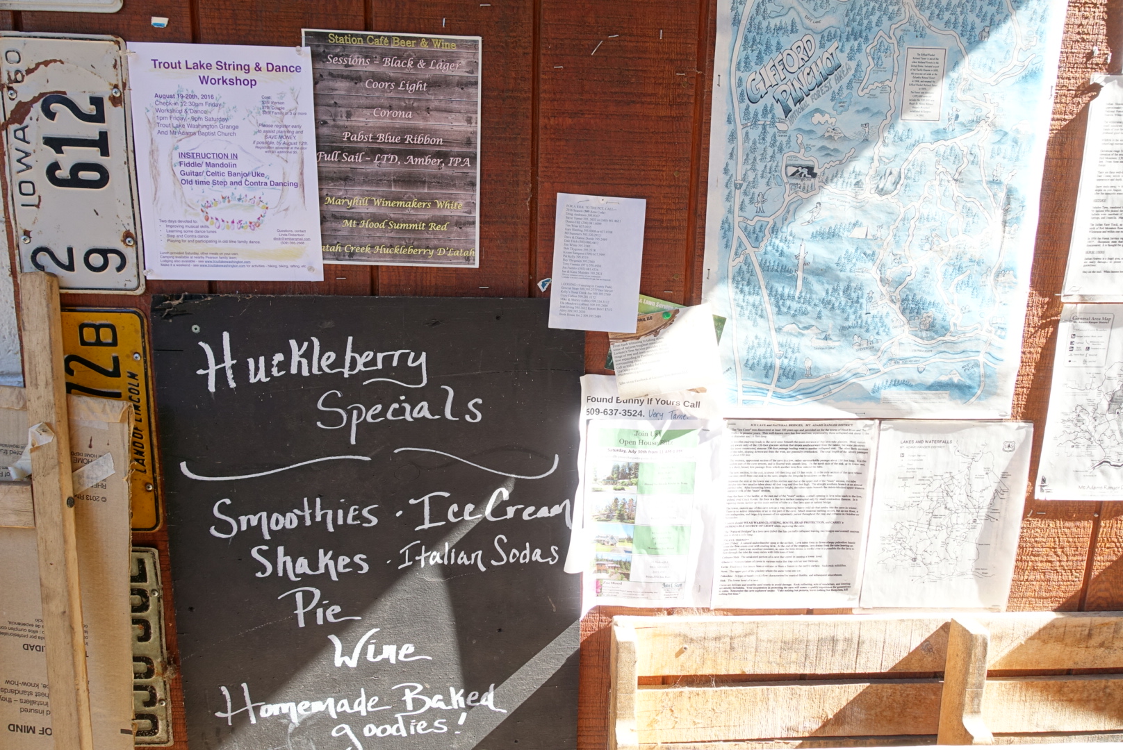
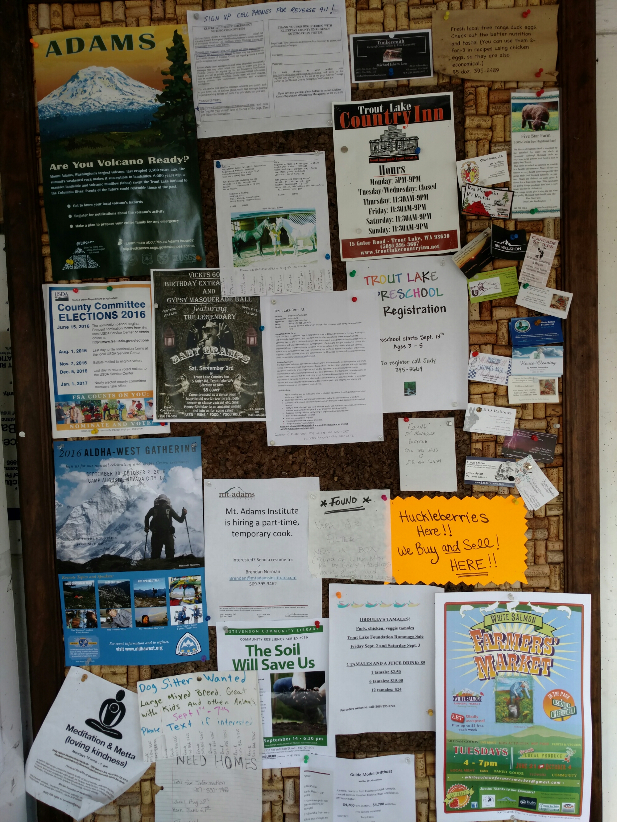
The bulletin board outside the general store

Soon enough, a trail angel had driven us to the trailhead. Where, as it happened, Coppertone awaited. We sat and chatted about the upcoming trail, Coppertone’s project to summit the highest thing in each county the PCT passes through, and huckleberries.

Apparently, some hikers had noticed the sign by the Trout Lake restaurant that said the restaurant would buy huckleberries. They had a gallon of them, and wanted to defray the cost of their town visit — huckleberries can be up to $75/gal.

Unfortunately, it seems you need a license to sell huckleberries in Trout Lake, and the restaurant wouldn’t buy them. They wouldn’t even barter for food.

So, a warning for PCT hikers: You can’t sell huckleberries without a license.
image
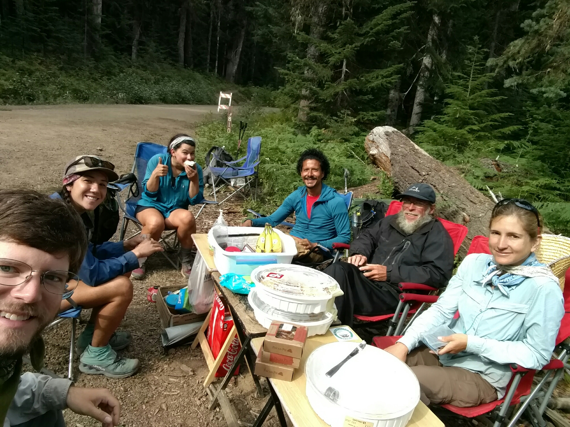
A Coppertone Crowd

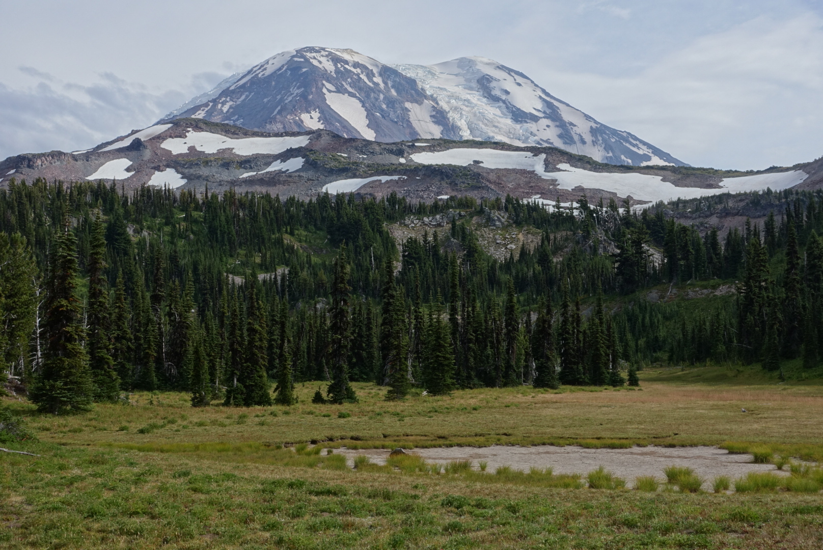
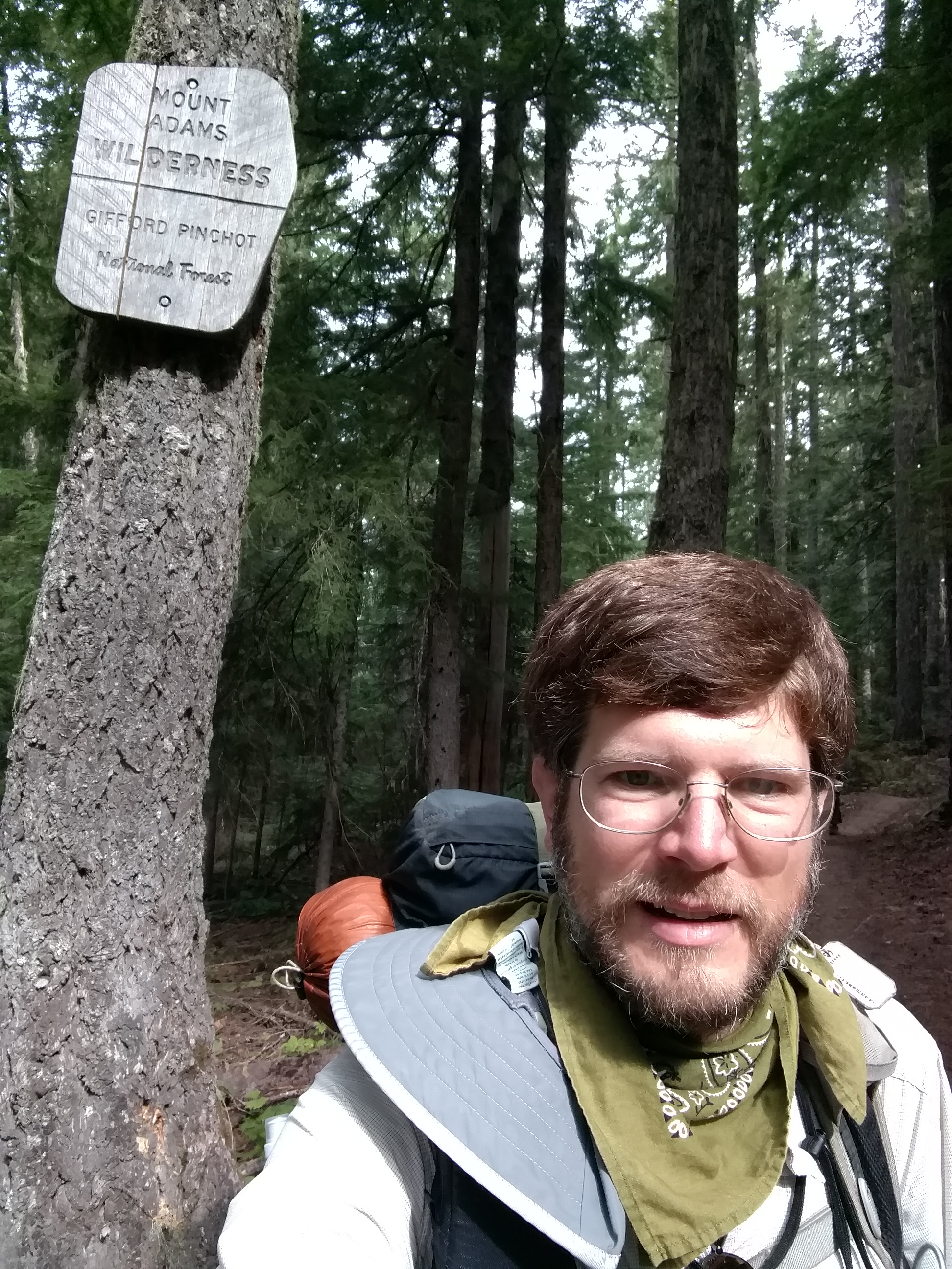
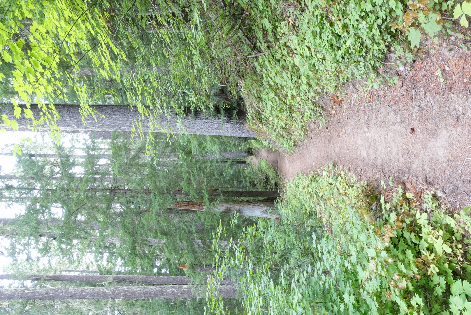
We didn’t get on the trail until after 10:30 this morning, but we soon entered the Mt. Adams Wilderness, a part of the trail with many mountain views.
image
The mountain views come not at the border sign, later
image
The morning was overcast and humid, but it cleared up later on
image
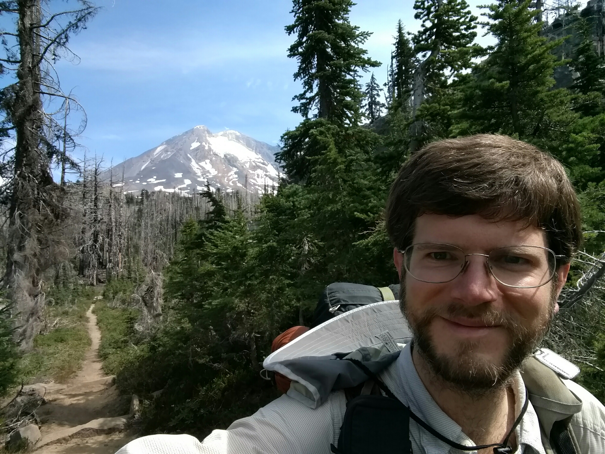
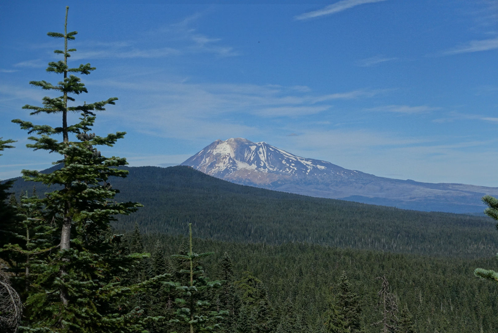
Mt. Adams, the PCT, and me
image
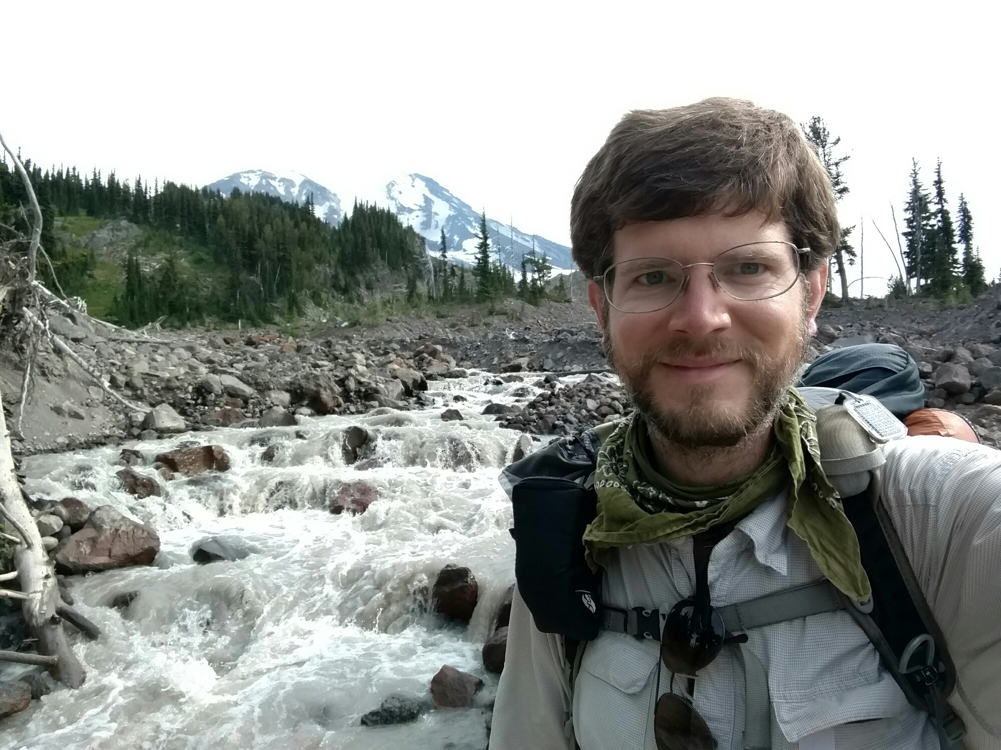
Mt. Adams, glacier melt, and me
image
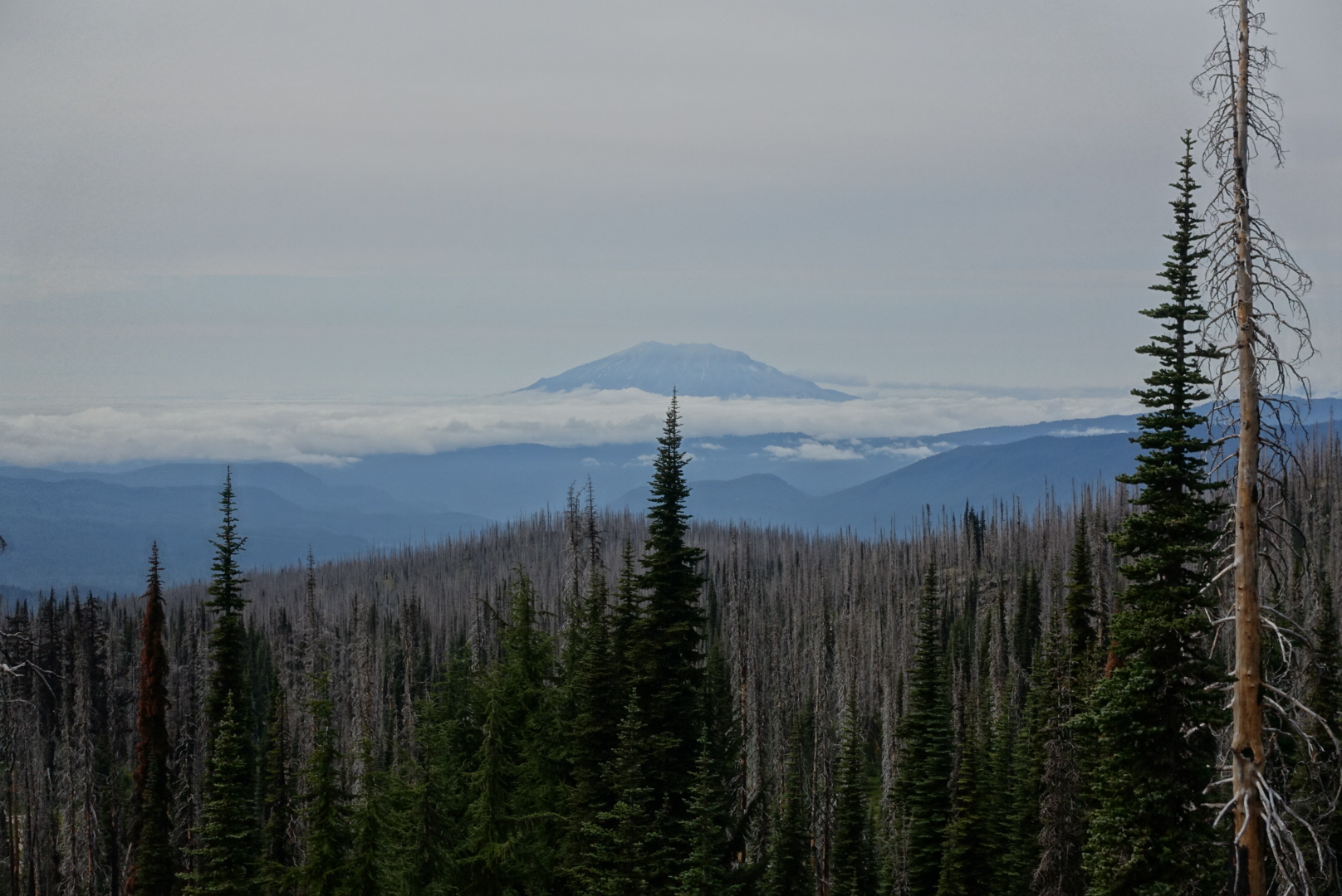
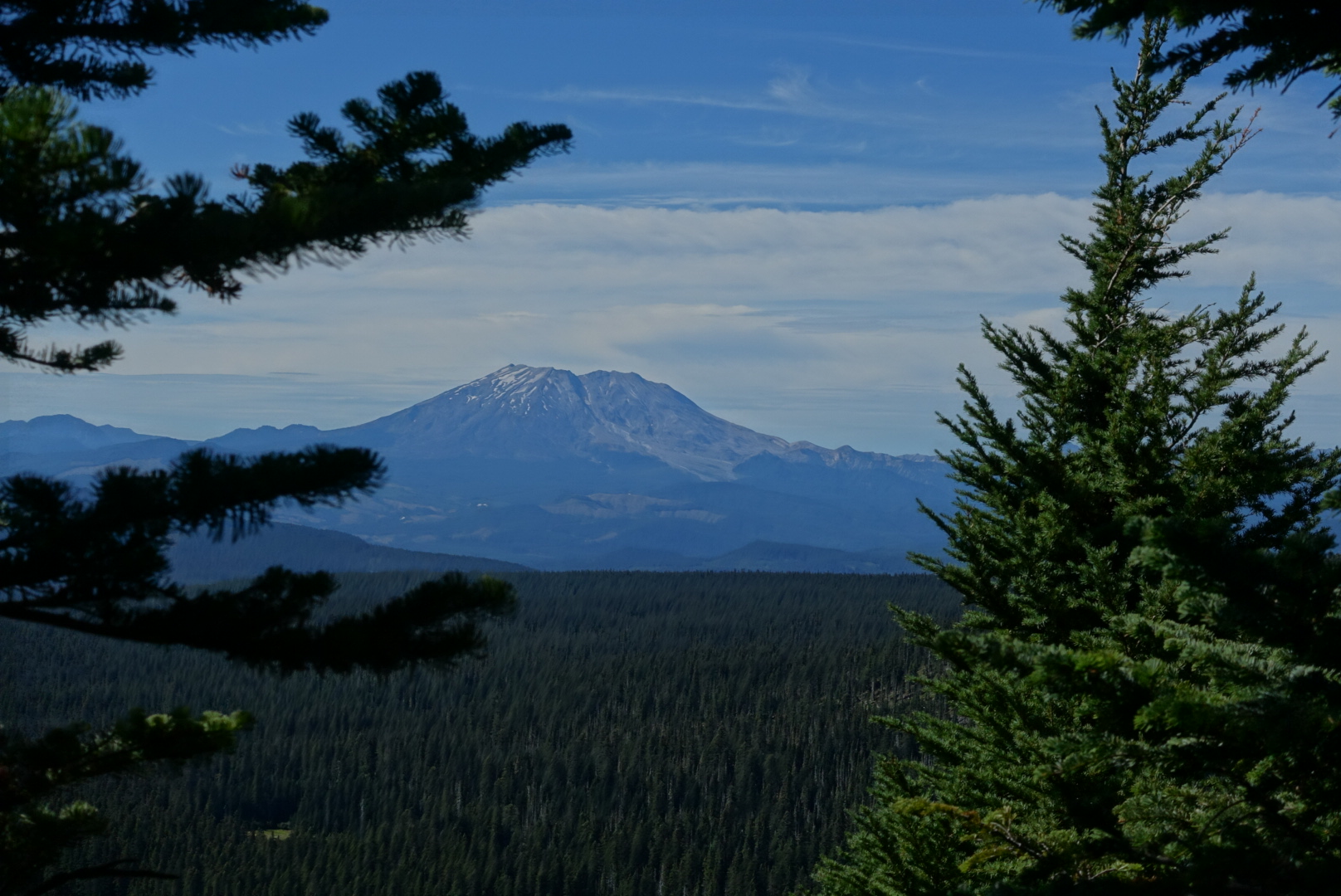
Mt. St. Helens, viewed from a trail on the west slopes of Mt. Adams
image
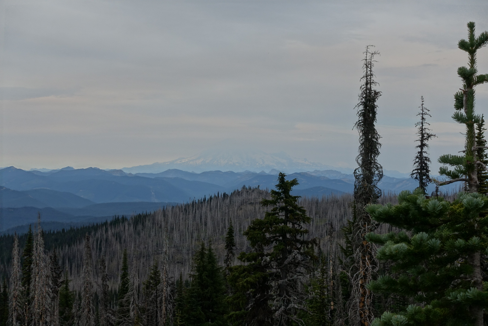
Mt. Rainier is hiding here
image
Mt. St. Helens on the left, and Mt. Rainier barely visible on the right
image
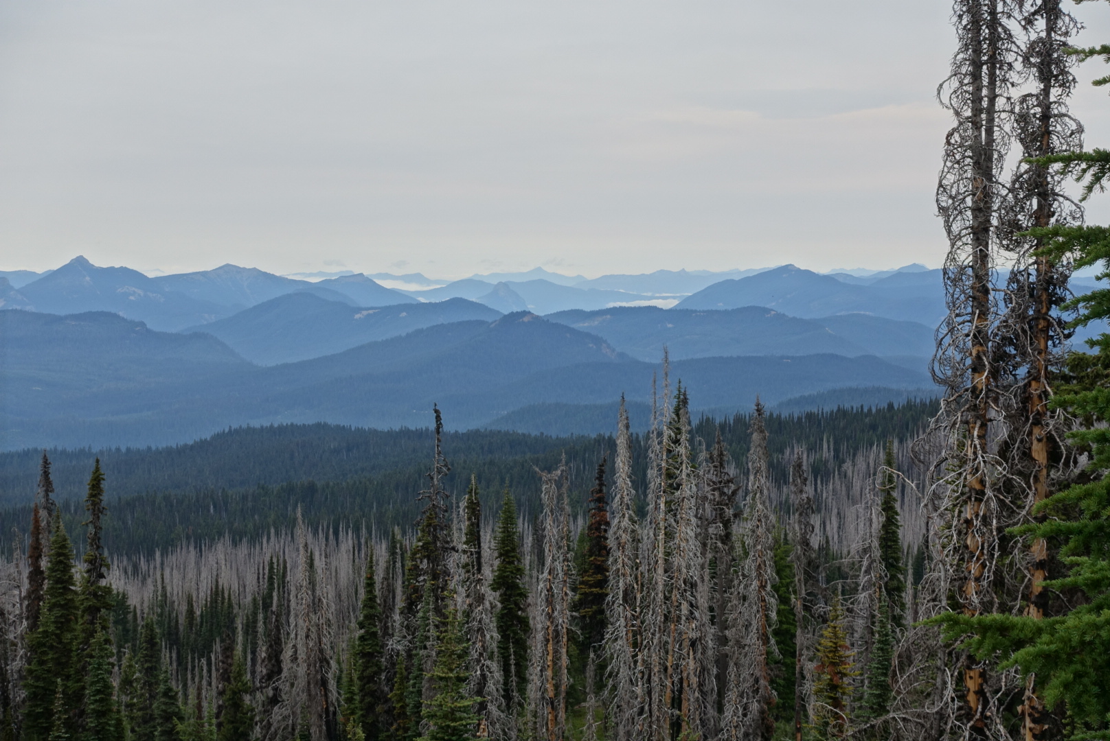
The lesser mountains between them stretched into the distance
image
In the other direction, Mt. Adams

There were other trailside attractions, too.
image
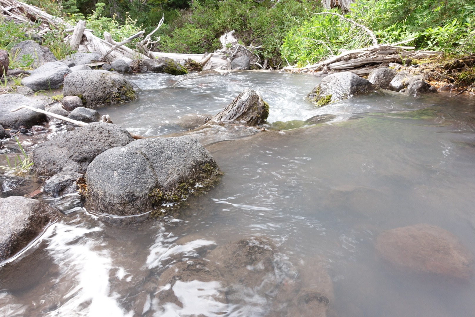
The milkiness of this stream of snowmelt is due to silt. It would be bad to run this through a filter.
image
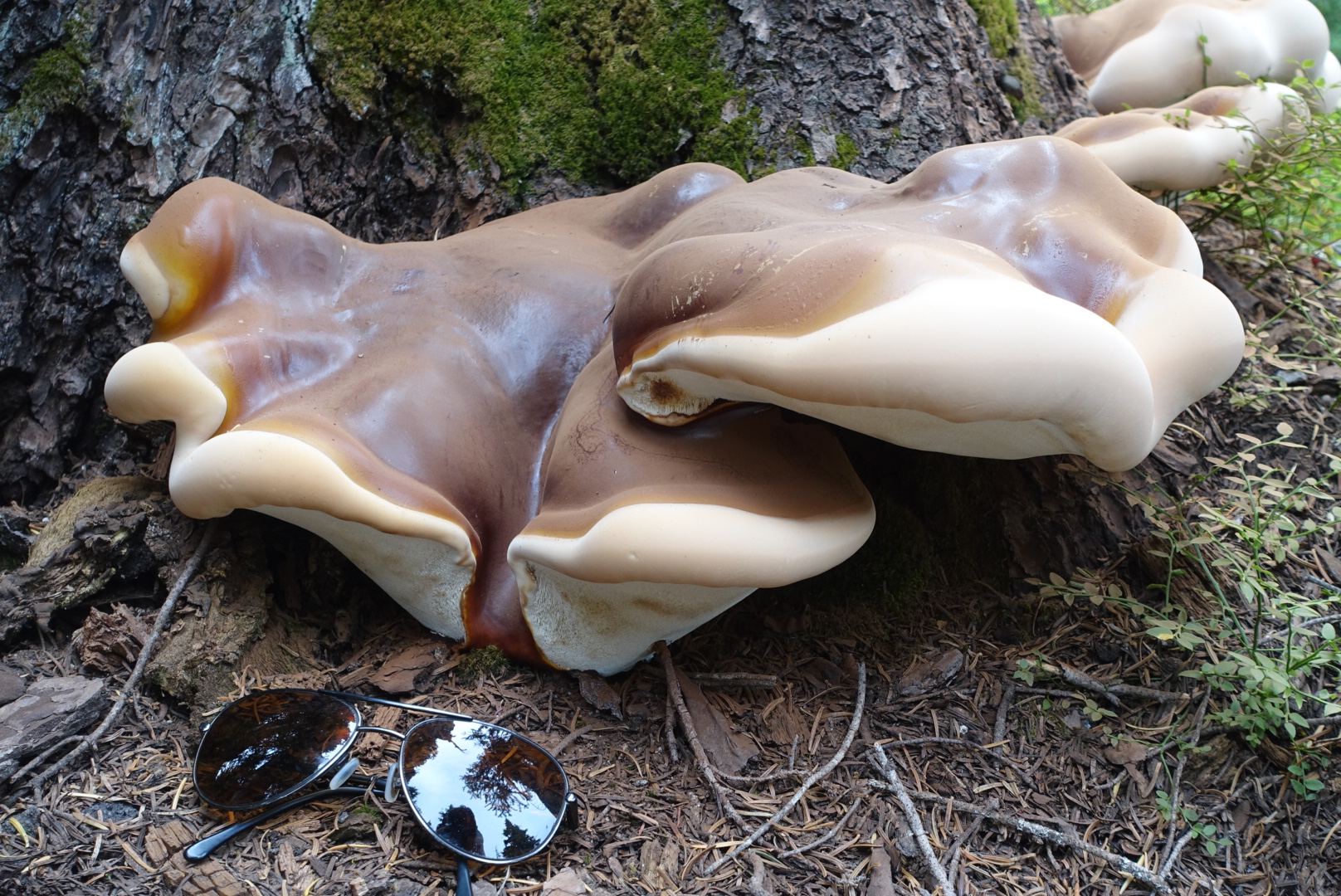
A giant tree fungus, looking like it's made of plastic. Sunglasses for scale.
image
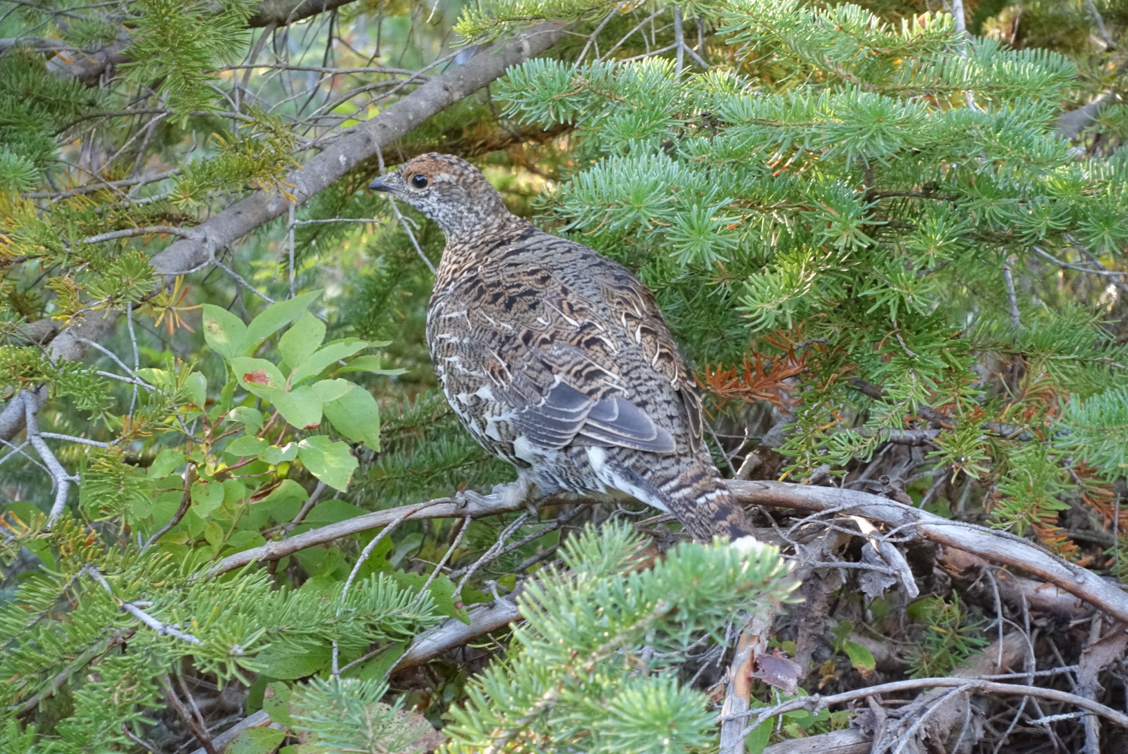
This trailside bird showed little fear of me

It got cold late in the day. Summer is clearly over. We set up camp with three other hikers, and went to sleep.

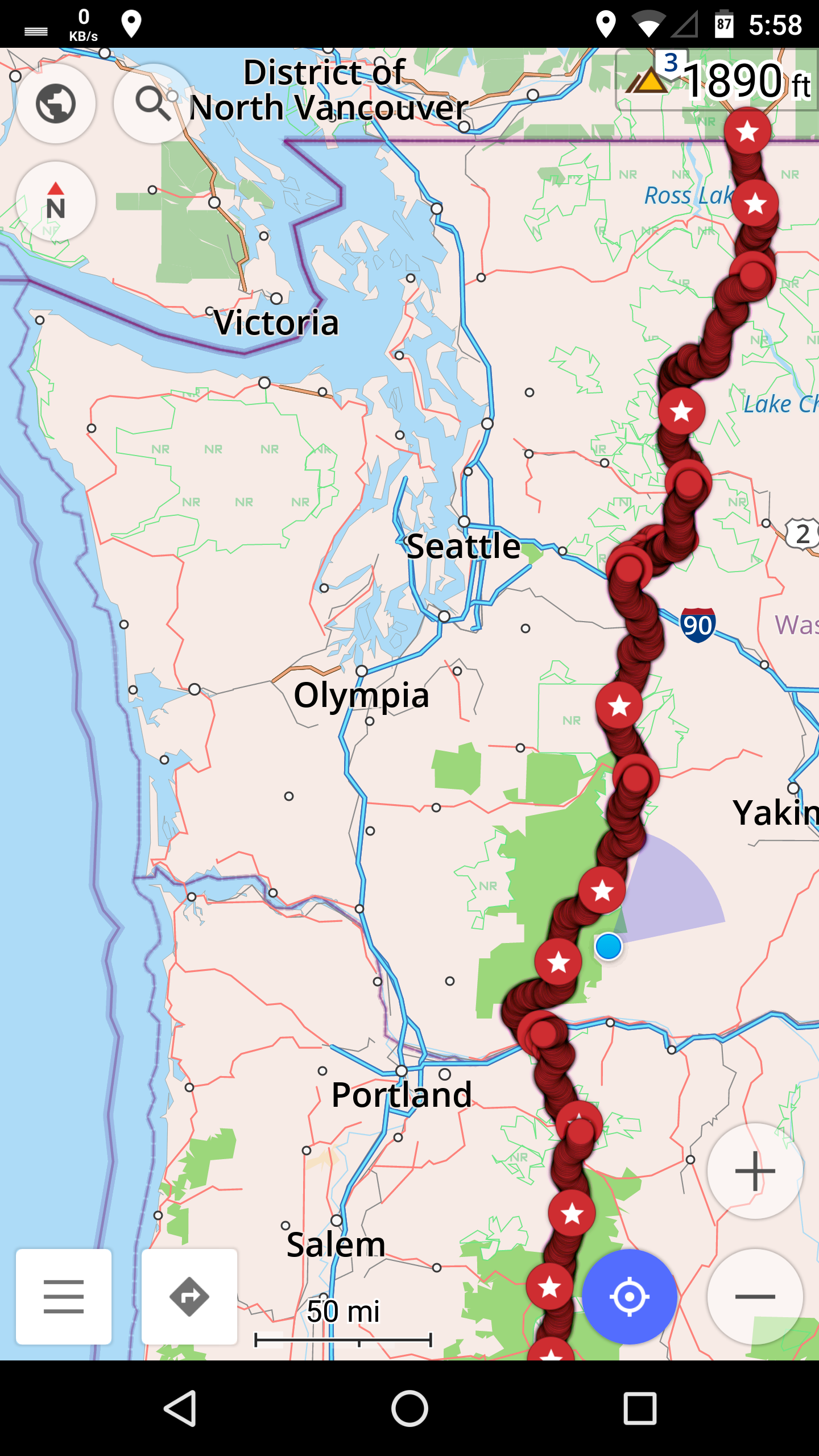
It occurred to me, we only have about 400 miles left. At a 25 mile pace, that’s only about 16 days. That’s not a lot of days.
image
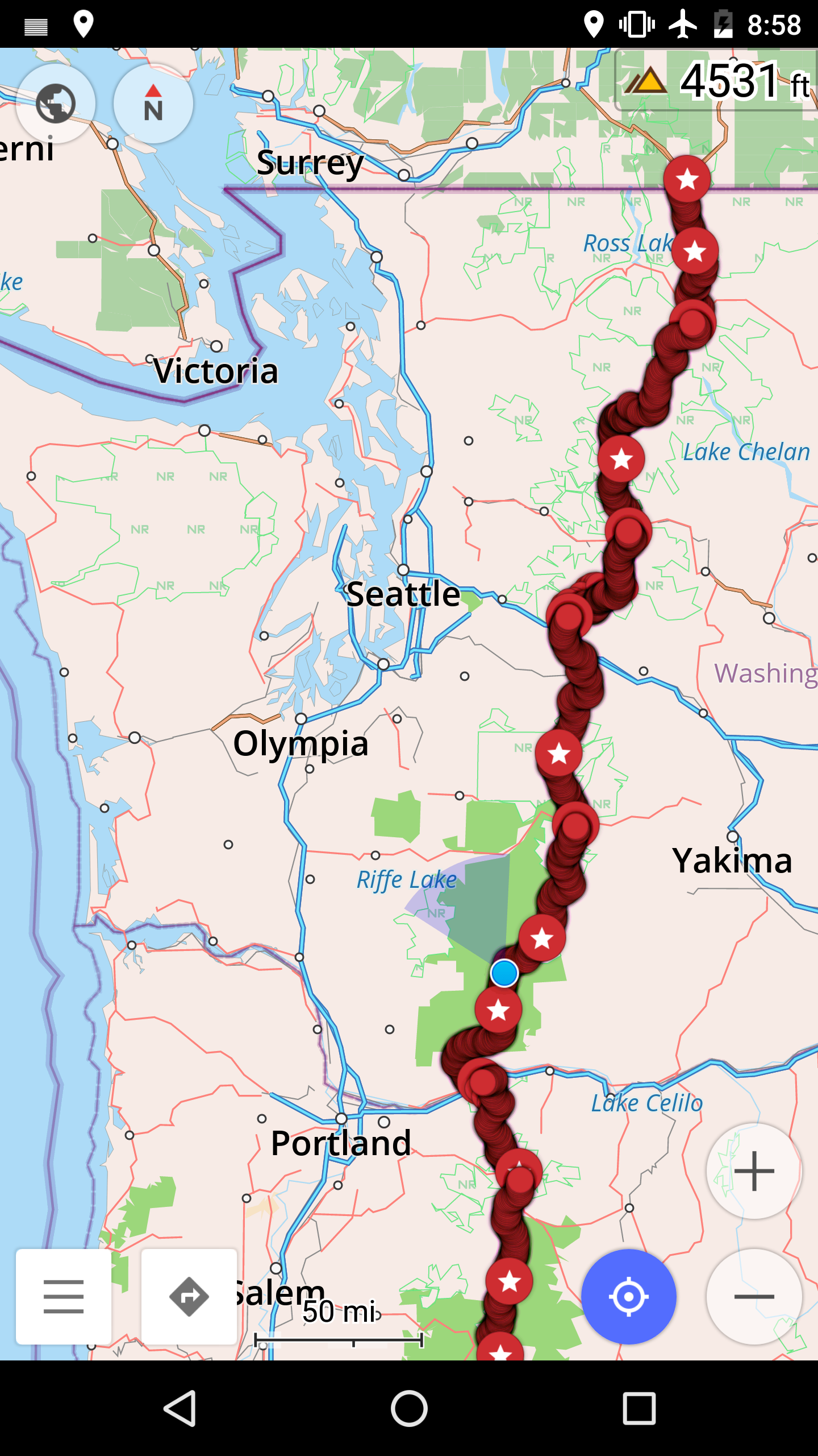
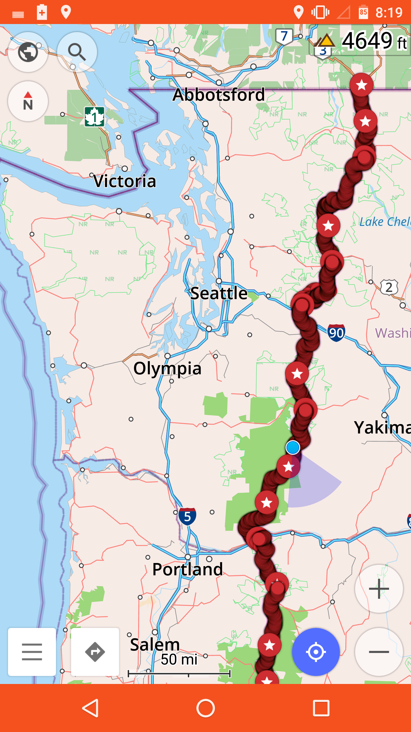
46.35701, -121.51766

CS2211 to Trout Lake – 8-29

Our campsite was surprisingly warm in the morning. Warm, and humid — my quilt had gotten condensation.

We packed up and headed down the trail. Curiously, at the place I’d seen the lights, we saw no sign of Bill — or of a usable campsite of any kind. The ground was covered in branches and bushes, with no clearings for tenting.

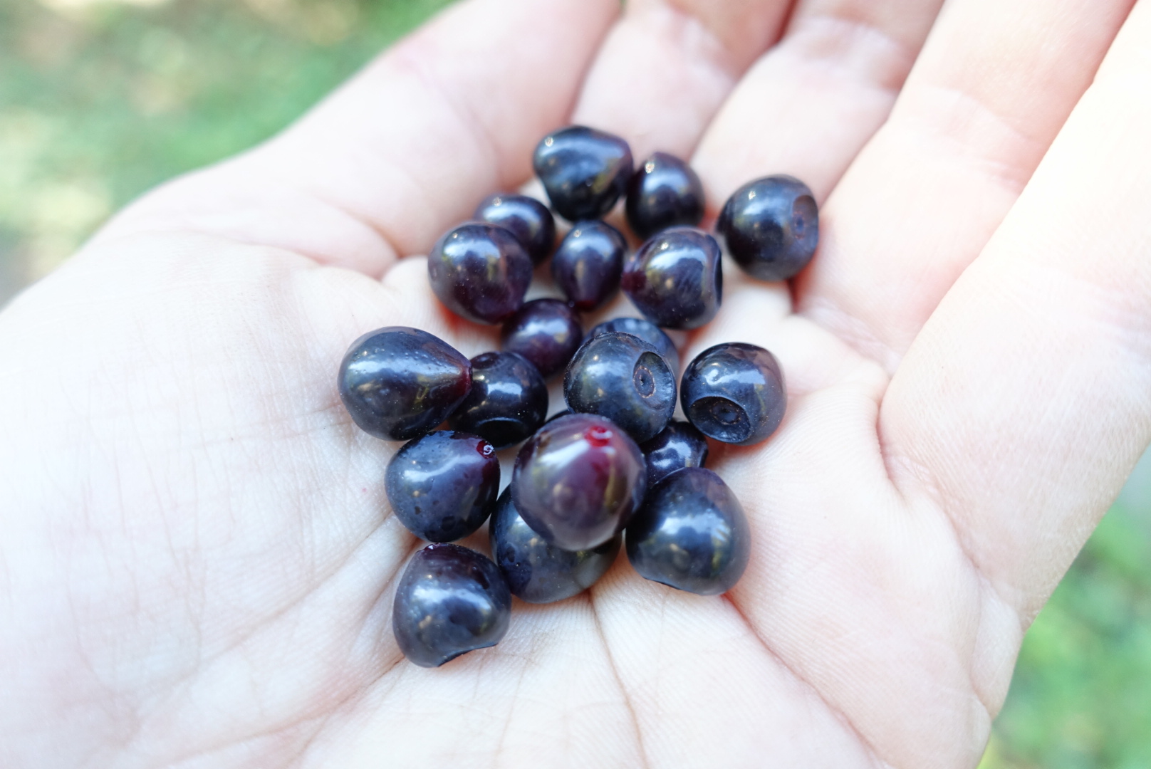
The trail was easy today, and we only had about 15 miles to the road where we’d hitch into town. Alongside that easy trail, there were many huckleberry bushes, and I finally felt certain enough that they really were edible to eat some of them.

image
They were delicious. But tart.

Aside from huckleberry foraging, it was pretty much walk, walk, walk, hoping to get near Trout Lake by lunch.

The town of Trout Lake is known for its affinity for PCT hikers, and when we were getting close to the road, we called the general store to arrange for somebody to drive is into town. Apparently there are many Trout Lake residents who are happy to drive out to the trailhead in the middle of a Monday to help hikers get to town. It would be 13 miles of road walking, otherwise.

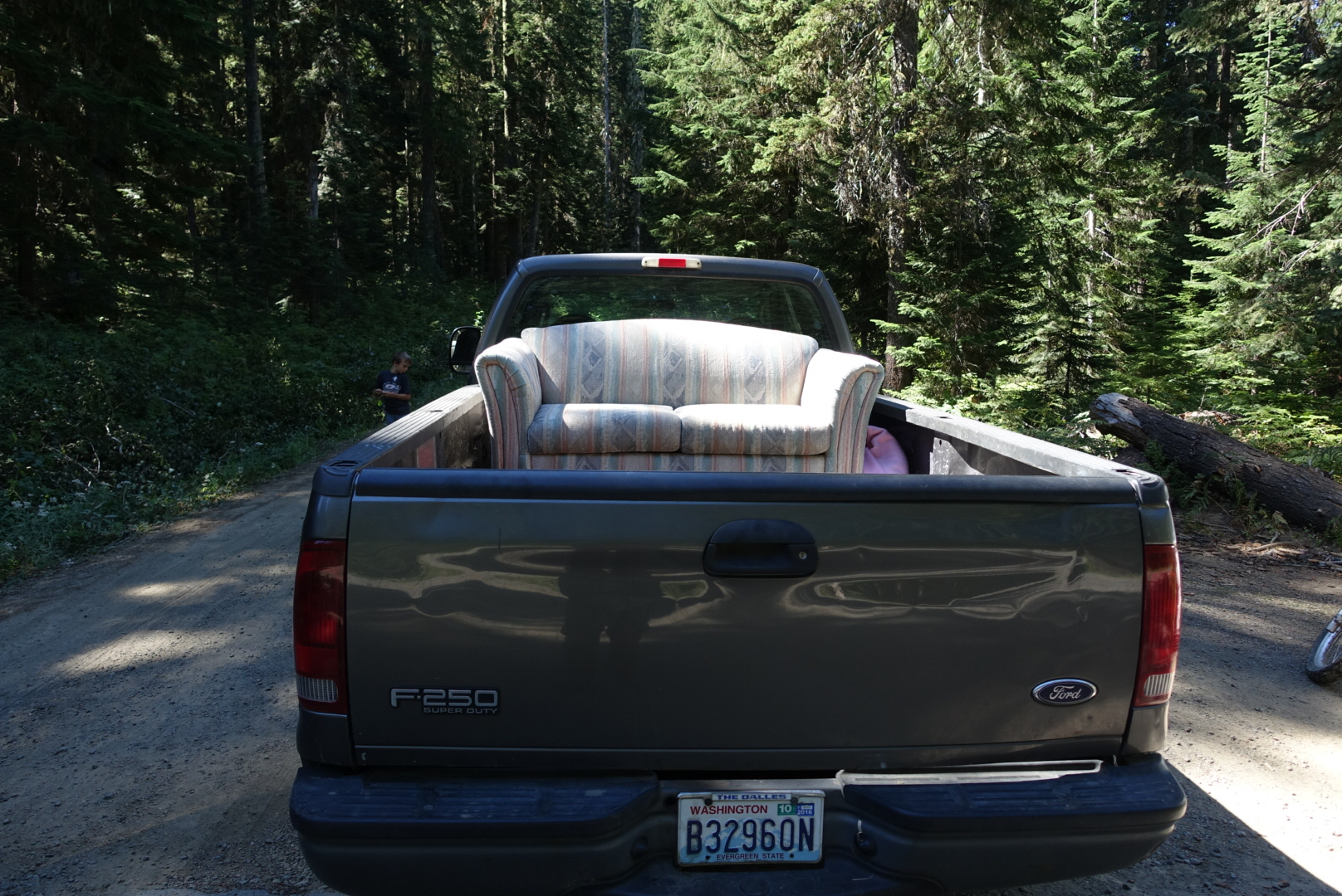
They connected us to Gary. Gary picked us up with this.

image
A sofa in a pickup. Not pictured: The cooler of iced tea on the truck bed.

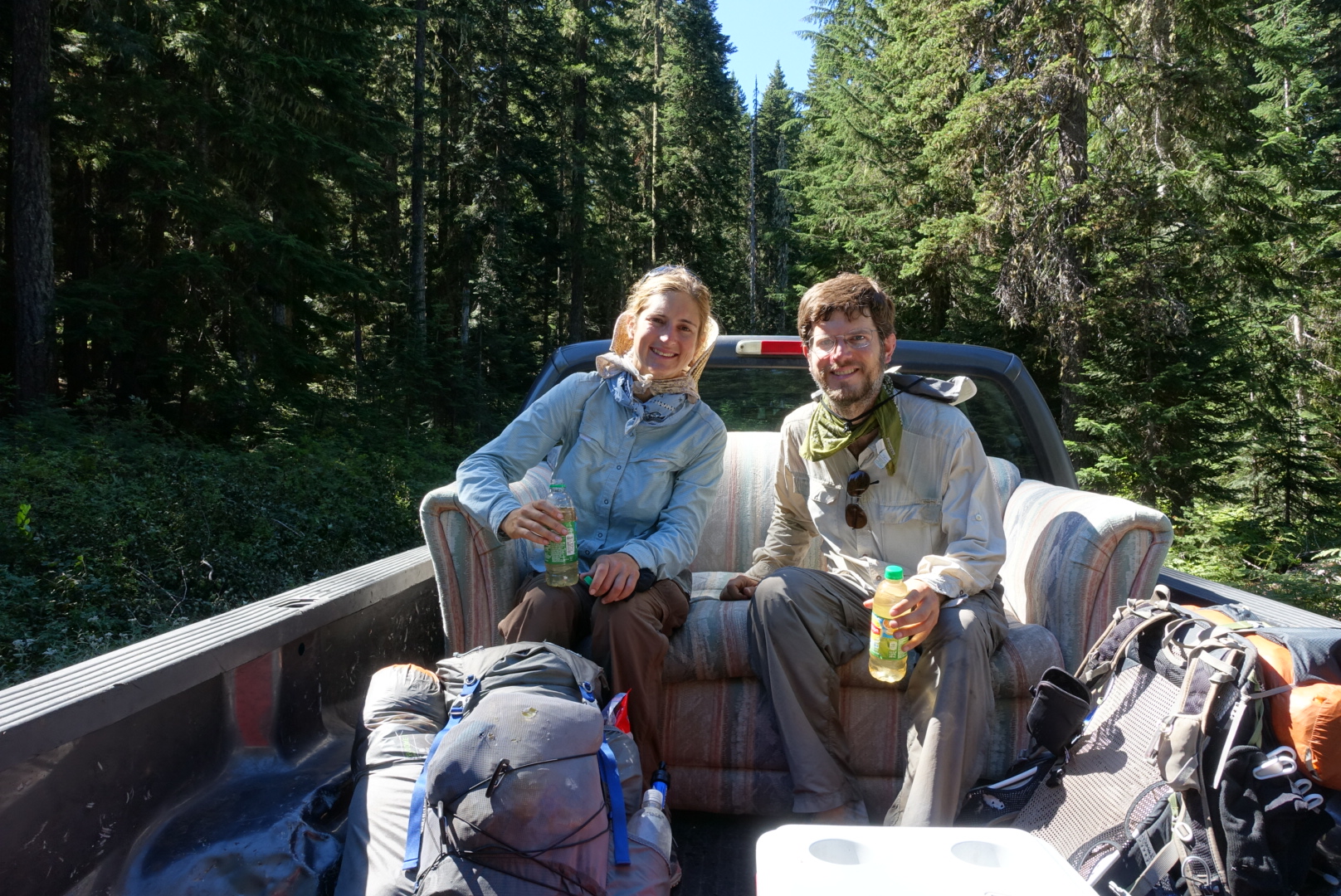
image

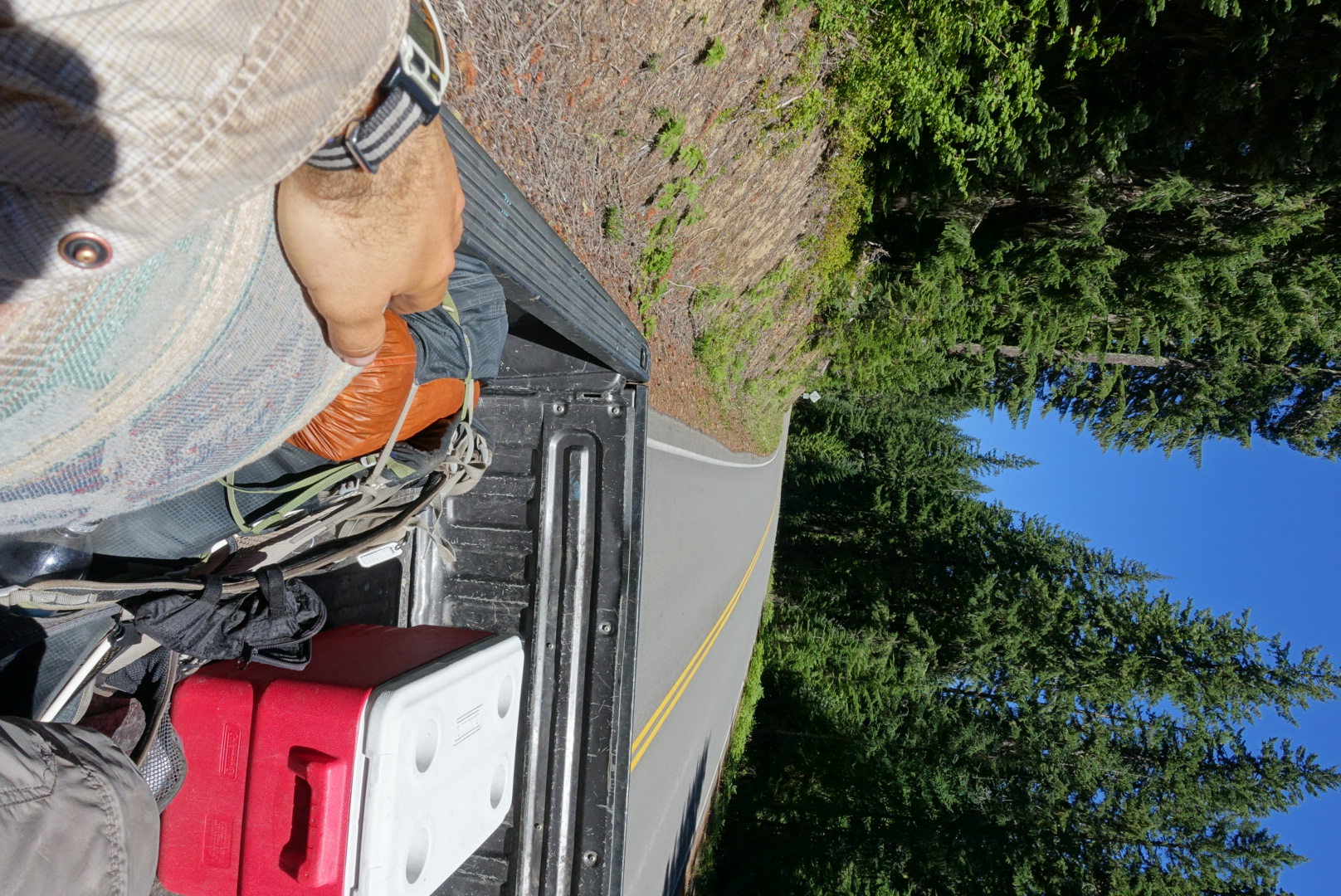
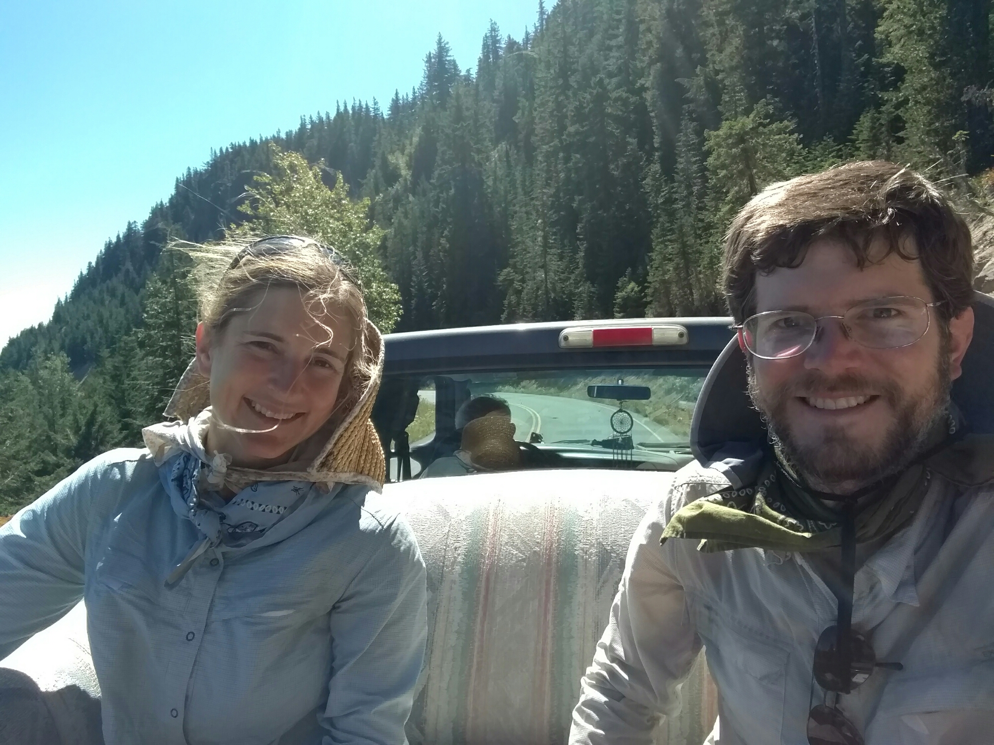
It was a comfy ride into town.

image

image

Trout Lake is a pleasant little town. There’s a restaurant, store, post office, and bookkeeper, and that’s about it for downtown.

image
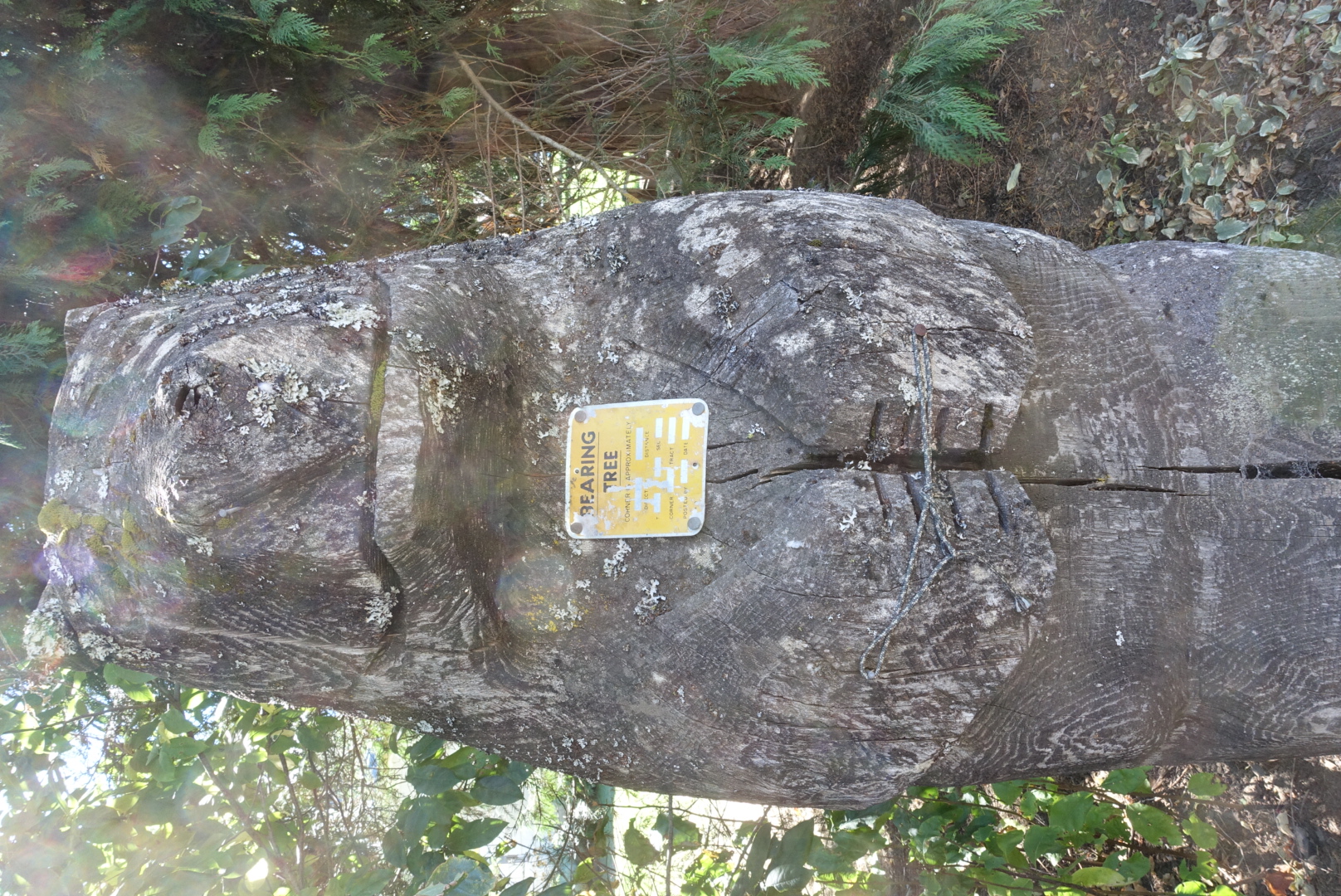
Well, that and the bearing tree
image
The side of the restaurant served as a bulletin board. It had such posts as a fiddle workshop last week, and a found rabbit (very docile).

We thought of staying at the local druidic abbey, but it was 4 miles out of town and a little expensive, so we stayed at a bed and breakfast close to downtown.

image
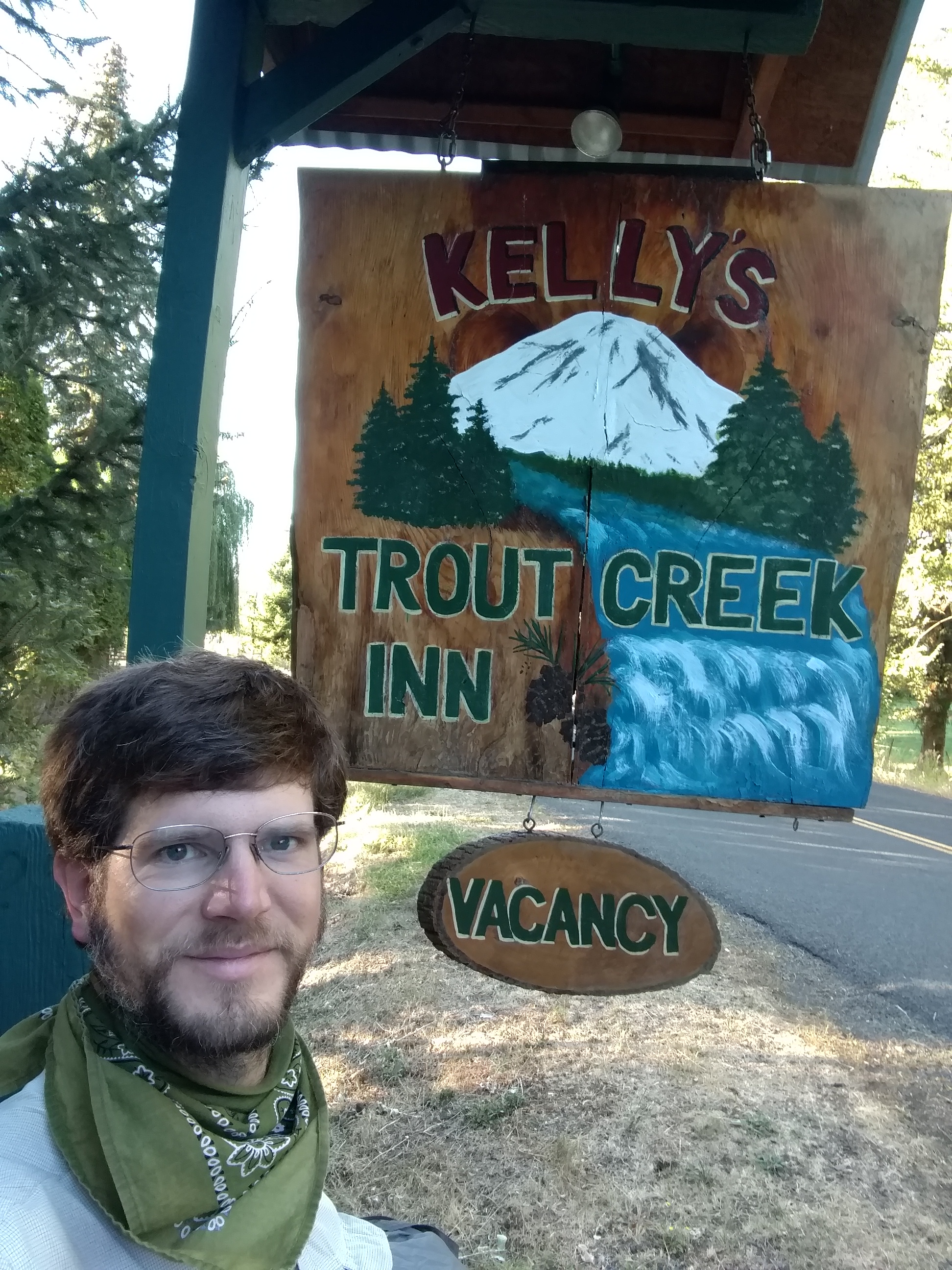
Everything about it seemed handmade, from the sign inward
image
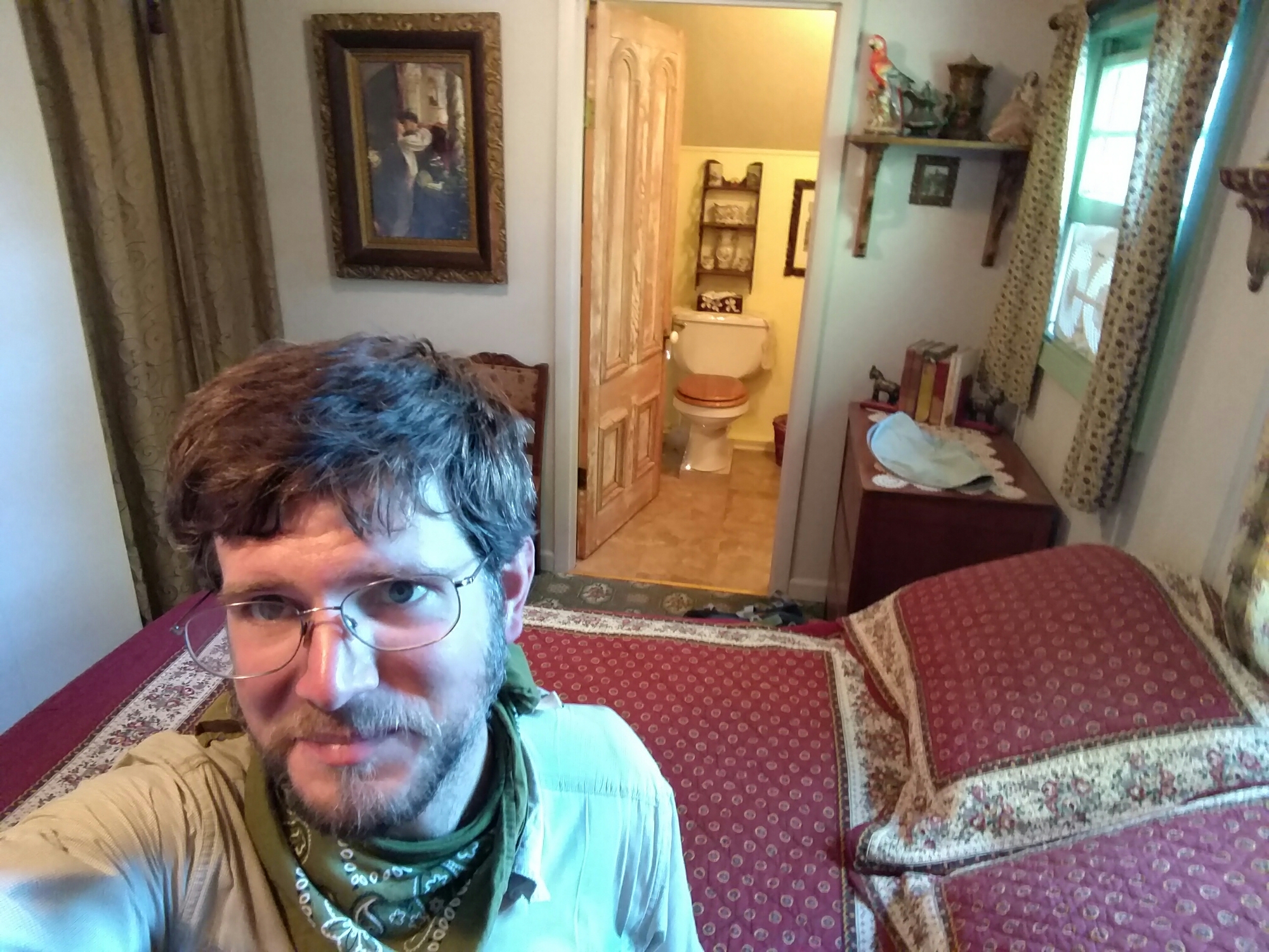
We got the "Camelot" room

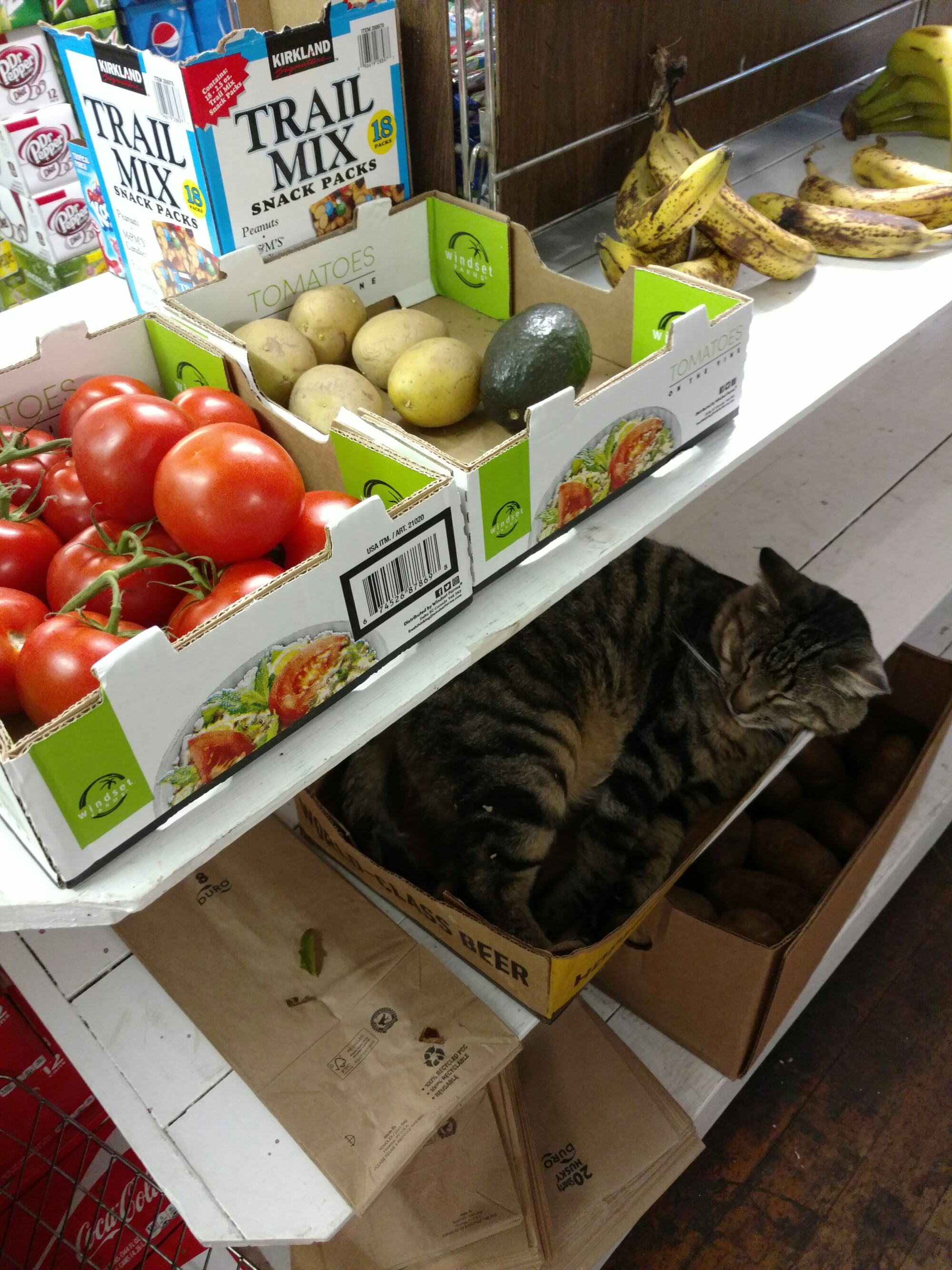
All we really needed to do in town was buy a bit more than 2 days of trail food, and the general store was fine for that. It was a casual place, where the locals knew all the stock.

image
Tomatoes, $1, Avocados, $2, Cats, ...?

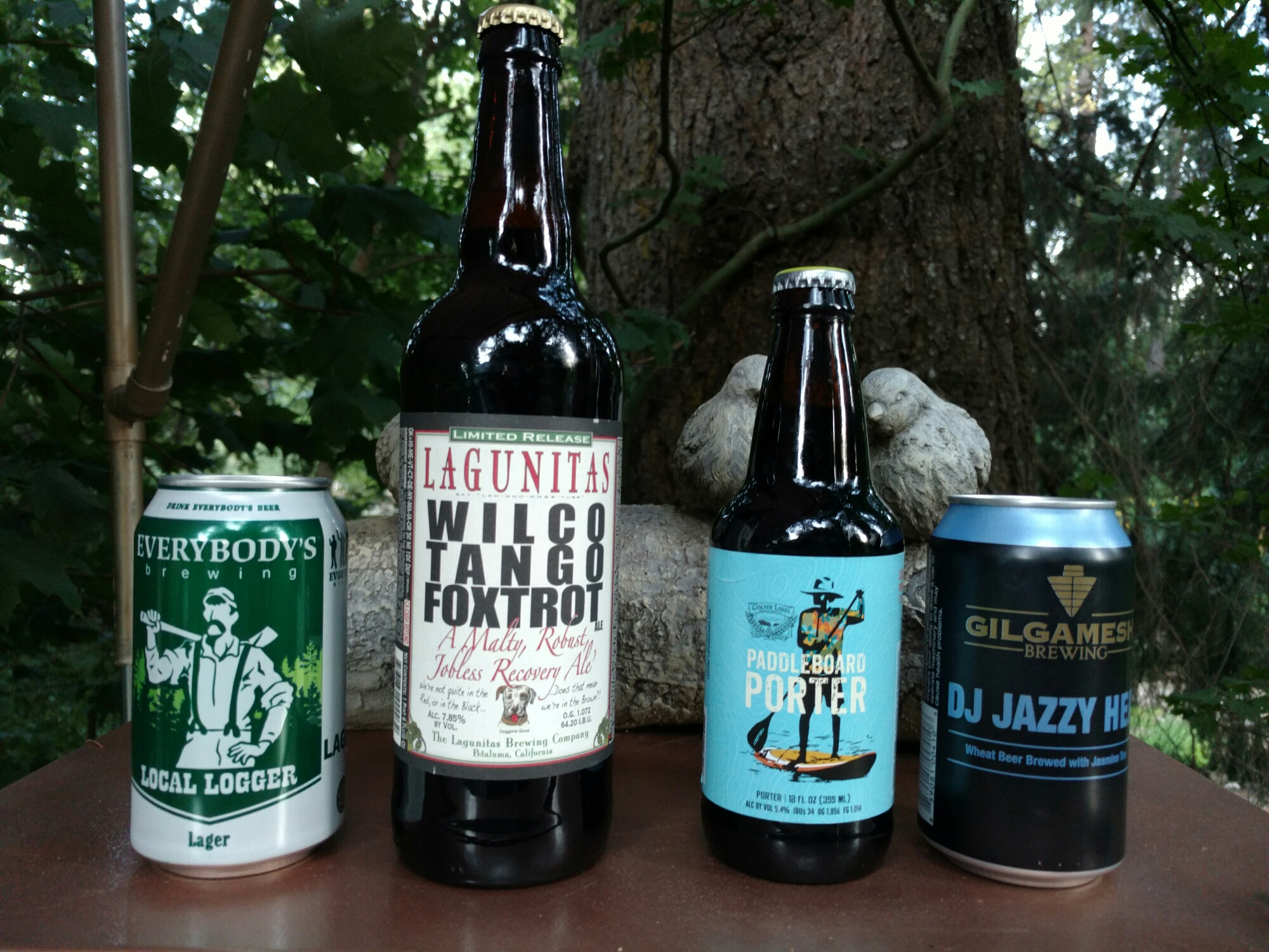
We got our trail food, and some Oregon and Washington beer, and had dinner at the town’s restaurant. One of the other customers identified us as PCT hikers, and before we knew it, we had a ride back to the trailhead from our bed and breakfast at 9:30 the next morning.

We had our dinner, headed back to the bed and breakfast, had our beer, discussed DJ Jazzy Jeff, and went to sleep.

image
One Washingtonian, two Oregonians, and a Californian. The Local Logger was the surprise hit.
image
45.99933, -121.52876

CS2183 to CS2211 – 8-28

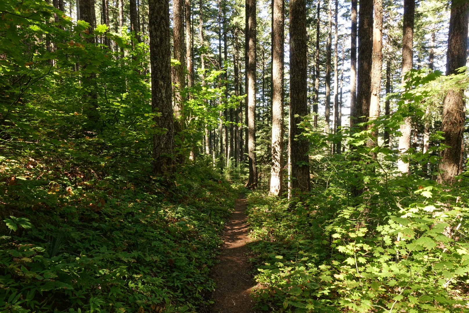
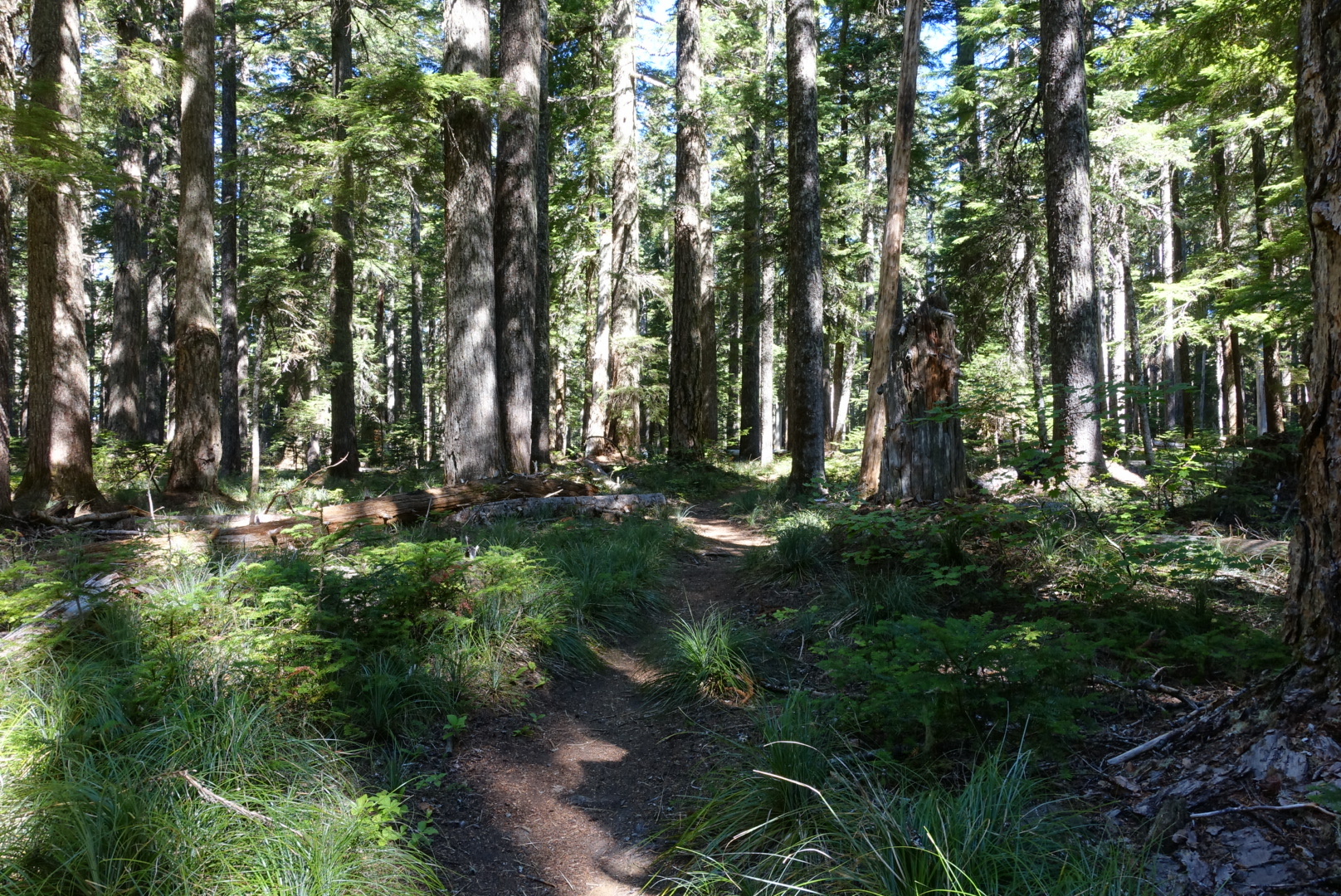
Today was much the same as yesterday, with long stretches of tree-lined trail.

image
Yep, still Washington
image
This is how my day was today
image
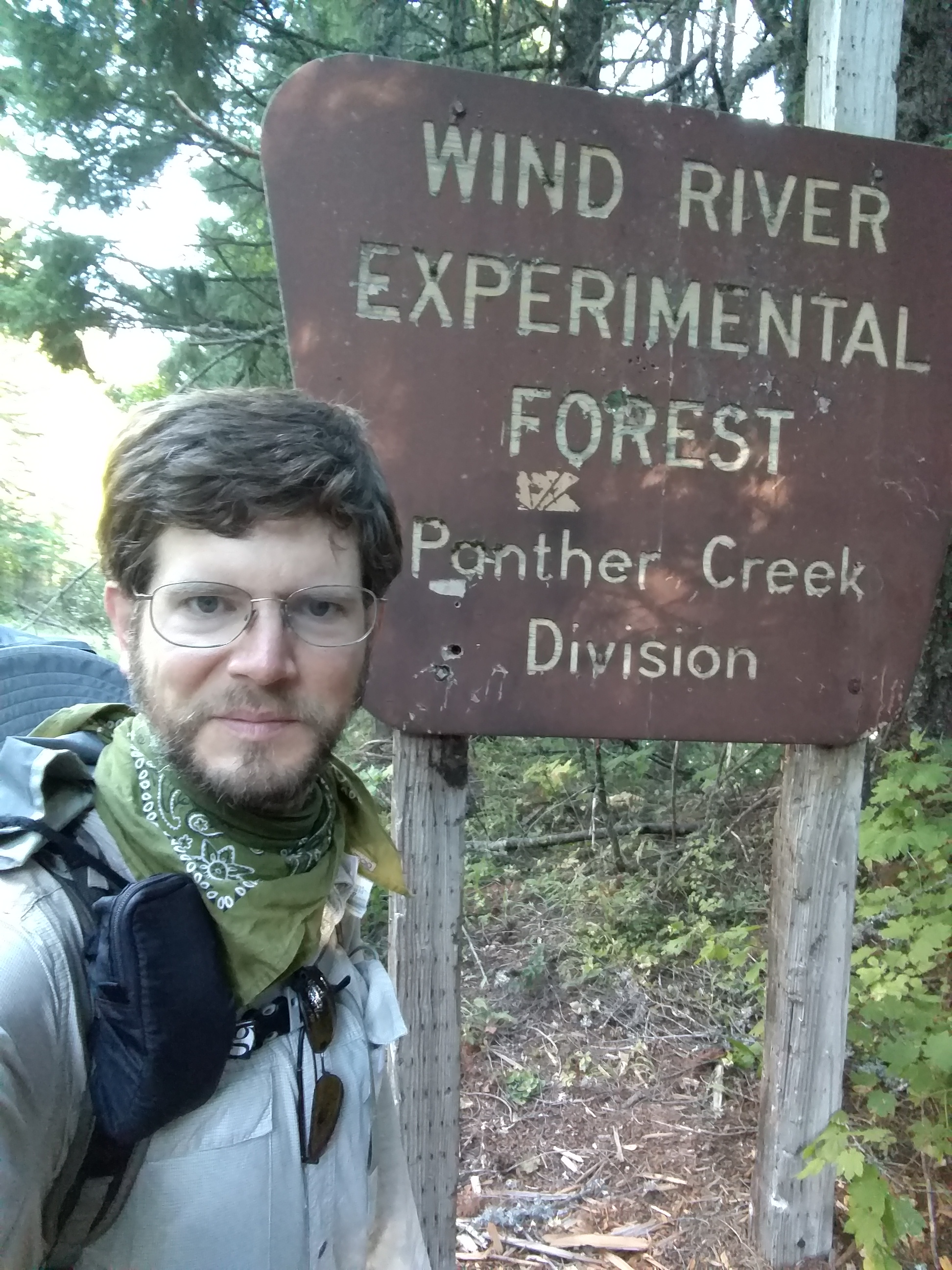
It turns out, experimental panther forests are not that exciting
image
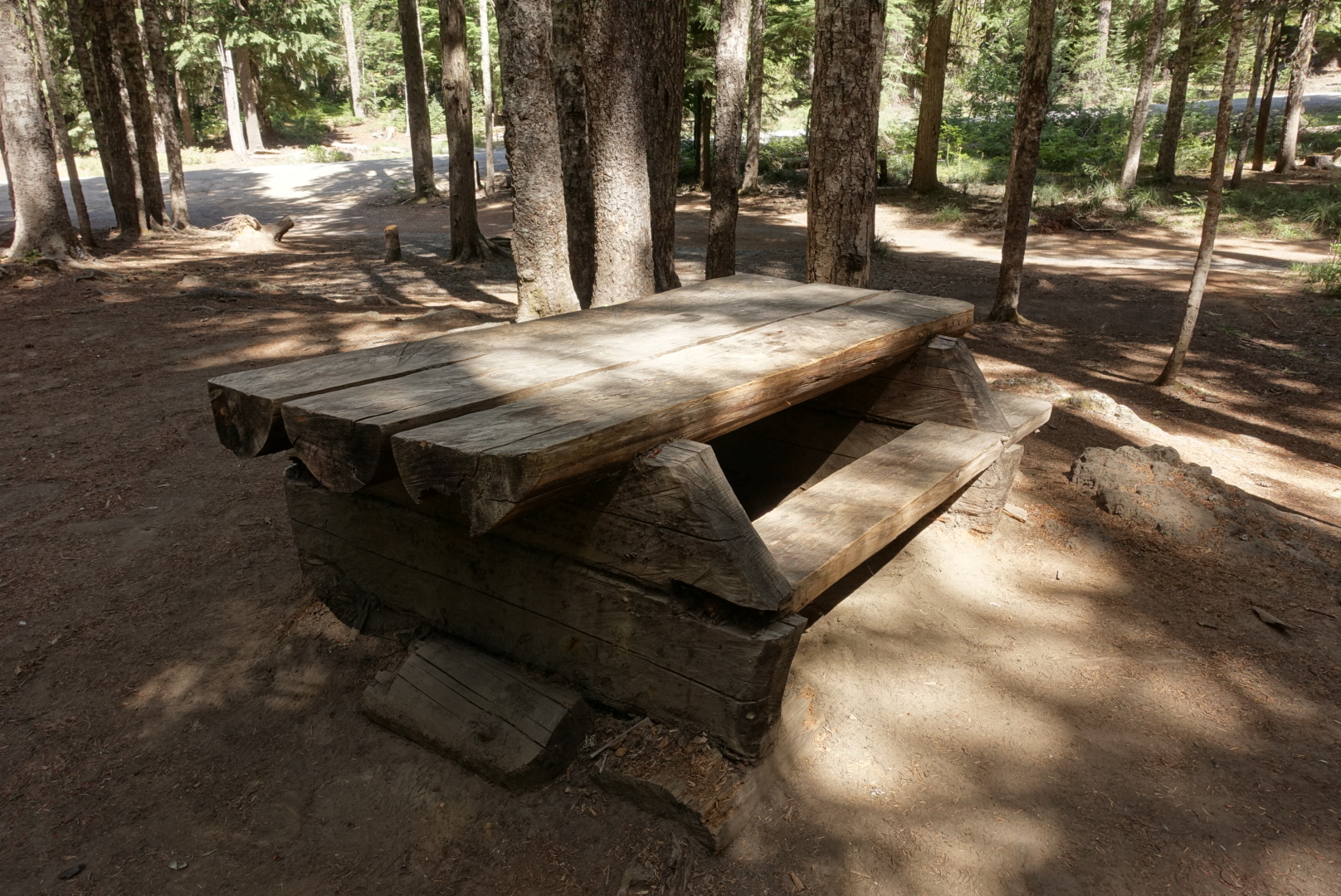
One horse camp had interesting picnic table construction
image
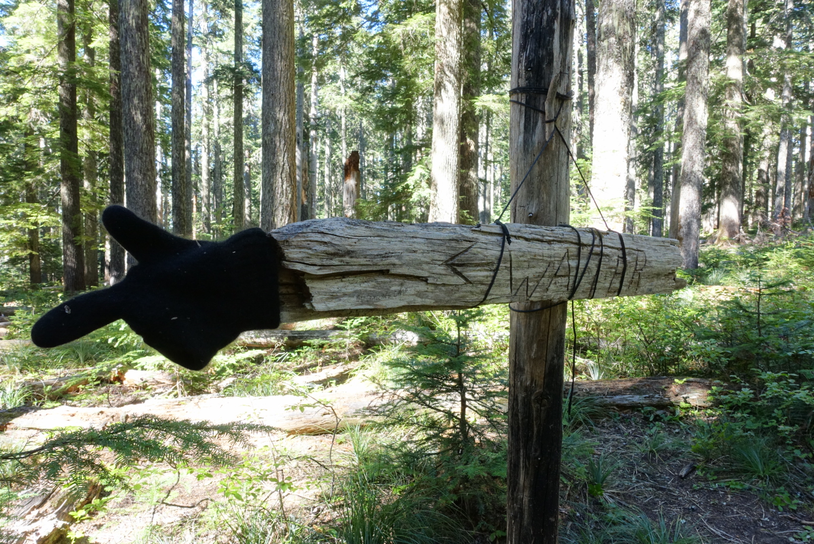
This stretch of trail did feature one of my favorite water signs, though

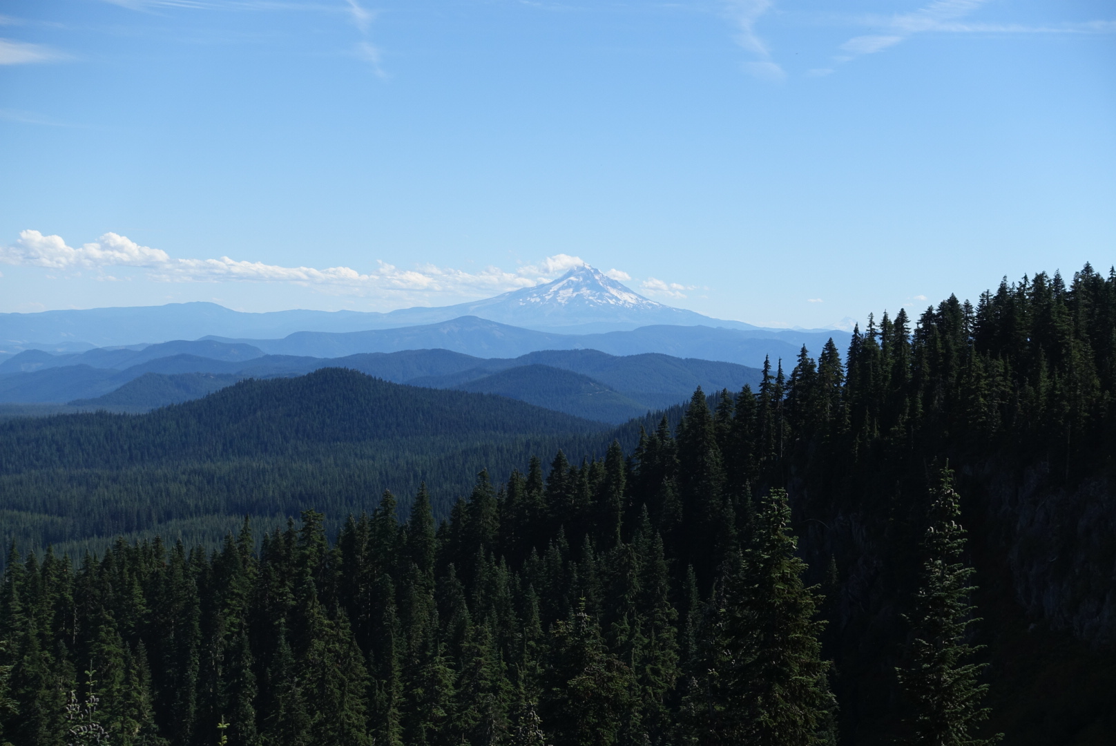
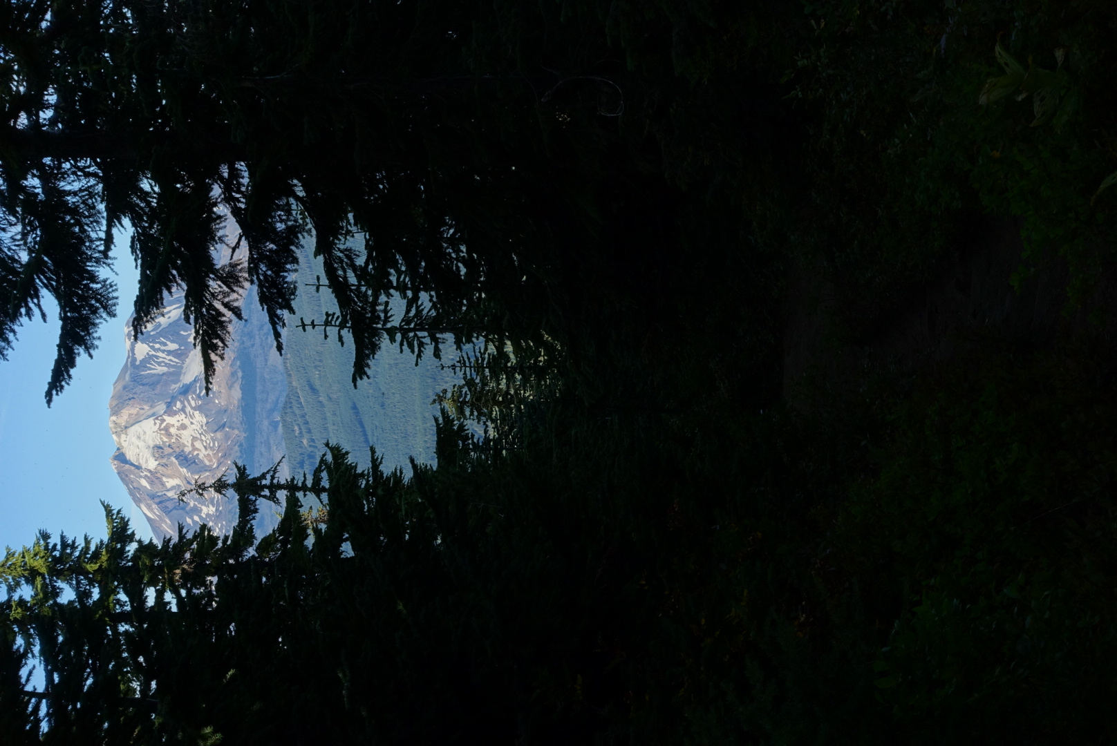
But, there were a few new sights. Although the view was usually blocked by trees, we did catch the occasional glimpse of a major mountain. In fact, there was a spot where we could see all of Mounts Adams, St. Helens, and Hood from nearly the same vantage point.

image
Mt. Adams
image
Mt. St. Helens
image
Mt. Hood

Generally, the trail is taking us towards Mt. Adams right now, snaking its way past water sources.

image
The shady trail headed straight towards the mountain here
image
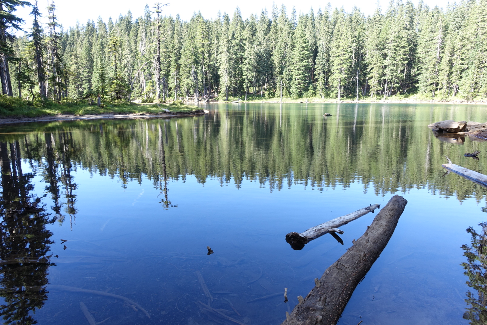
Blue Lake, one of the day's water sources

Soon before camp, we ran into Bill again. He’d gotten stung by something, and his right arm had swollen quite a bit. He said he’d look for a camp spot soon after us.

image
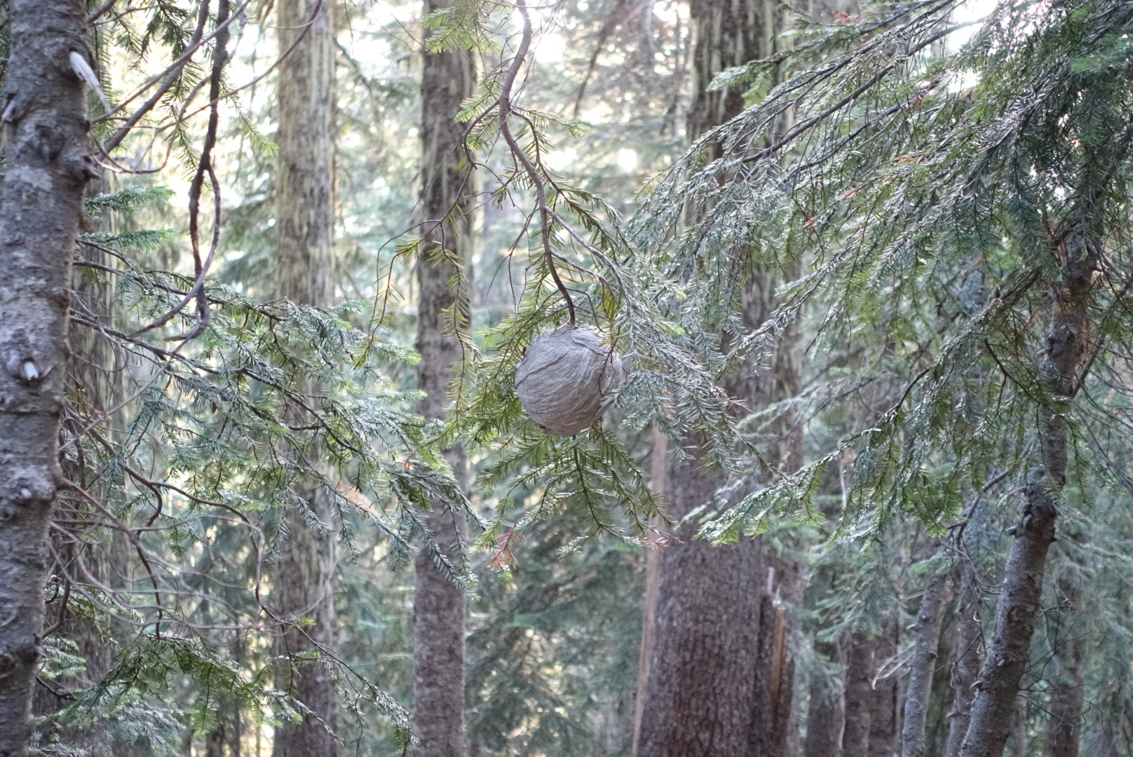
I've seen fragments of these hives by the side of the trail for many miles, but didn't see a whole one until today

We set up camp a little early, since we’d  happened to find a nice spot near the end of the day, and had done more mileage than expected — a 28-mile day.

While brushing my teeth, I walked down the trail a bit, towards the border of the Indian Heaven Wilderness. We had camped about 200 feet short of the official border. Just on the east side of the trail, I saw bright lights and shadows flickering around in the woods. Maybe it was Bill setting up camp, but I bet he doesn’t waste batteries on that kind of light show. I crept back to camp, not wanting to attract the attention of the forest denizens.

image
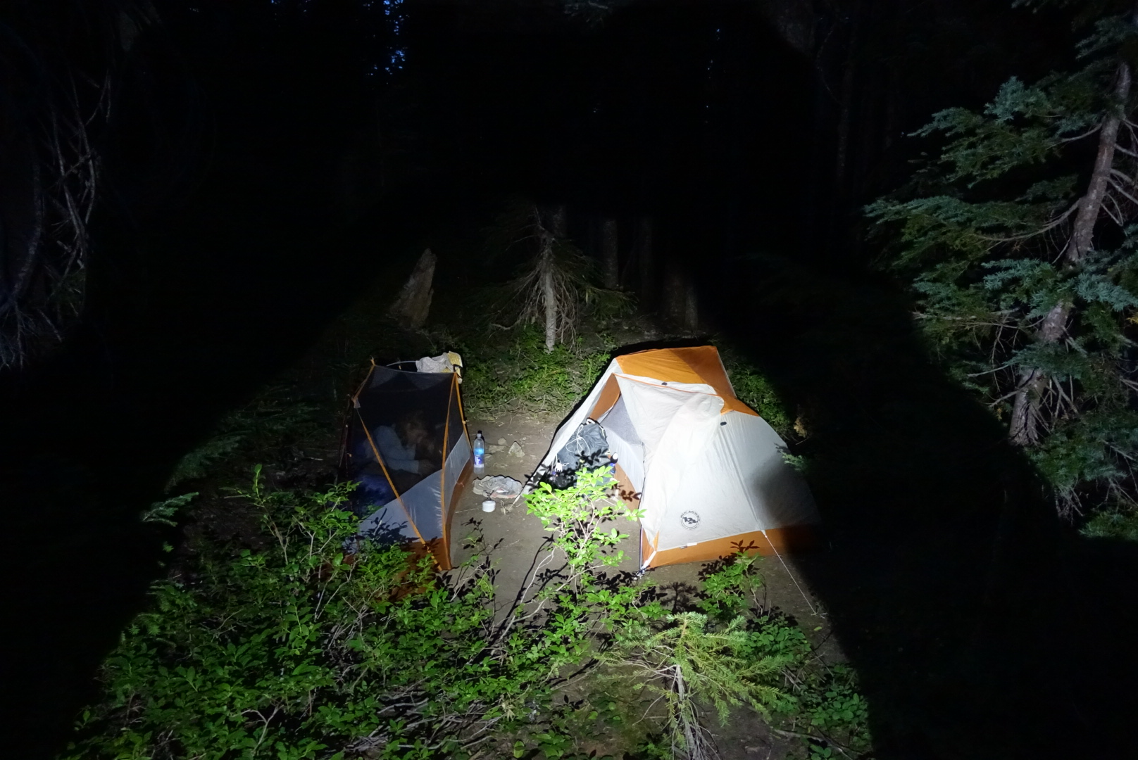
Our own tents, a bit later

As we set up camp, it felt like everything was wet, from the humidity. I hope this isn’t the beginning of Washington showing us the weather it’s famous for.

image
46.07879, -121.77226