White Pass to CS2312 – 9-2

This motel night’s sleep was much preferable to the night before. Even if the rain had managed to get inside, the heater would’ve kept the room far warmer than freezing. The room was built for use by skiers, so there were all sorts of pegs and hooks to dry our gear out overnight.

It rained intermittently all night, and constantly in the morning. We begrudgingly left our warm room, and went down to the gas station to resupply at its attached convenience store (called the White Pass Kracker Barrel).

The stock was strange — though the store was small, they stocked numerous kinds of pork and beans. They had many types of pepperoni pizza, but no other pizza. They kept their tortillas in the freezer.

I opted for the tortillas, and thawed them in the sink. I’ve never had to towel off tortillas before.

I ordered an espresso drink, and the cashier/barista complained. She said she wished the machine broke. Then Elizabeth ordered one, and she tried to talk her out of it. Then the person next in line ordered one, and she flat out refused to make it.

Back in our room, when the tortillas were thawed, there were no excuses to stay in the heat any longer. We started hiking in the rain.

Back on the trail, the rain was constant, and the temperature dropped rapidly. We were soaked and cold. The trail was usually a river, since the ground was saturated. Our feet were wet enough that it wasn’t usually worth avoiding stepping in the river.

When it was raining, I didn’t want to take out my camera, so I took very few pictures. So, to picture the trail today, just imagine the earlier Washington pictures, but with mud flowing down the trail, and with no sun.
image
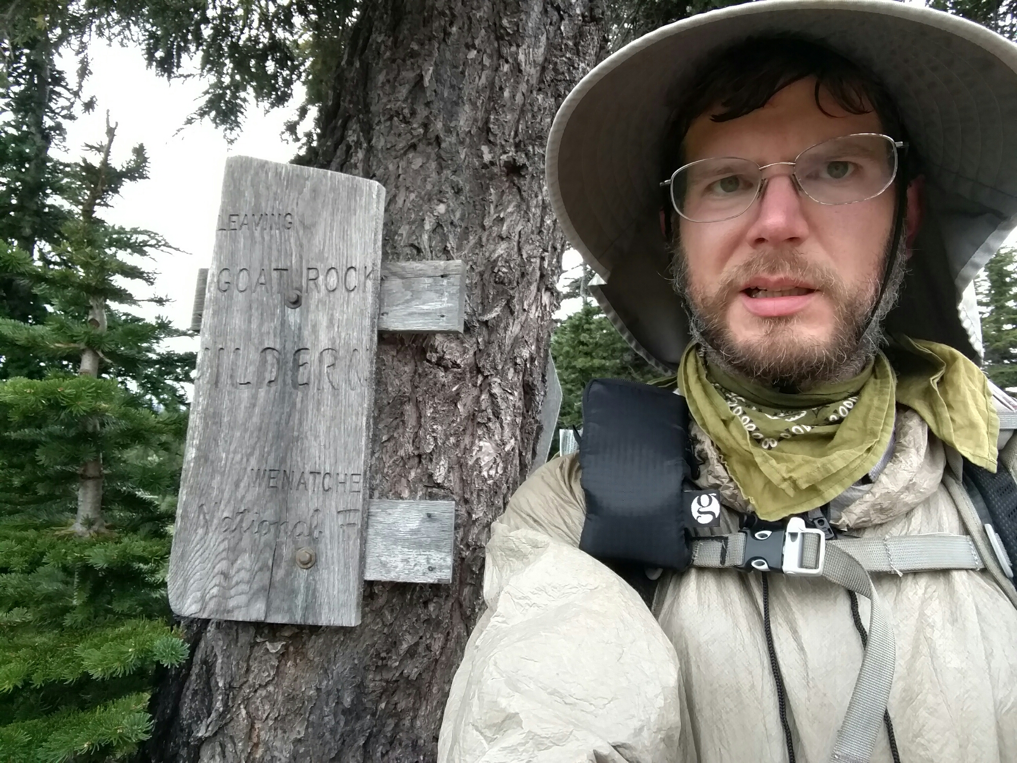
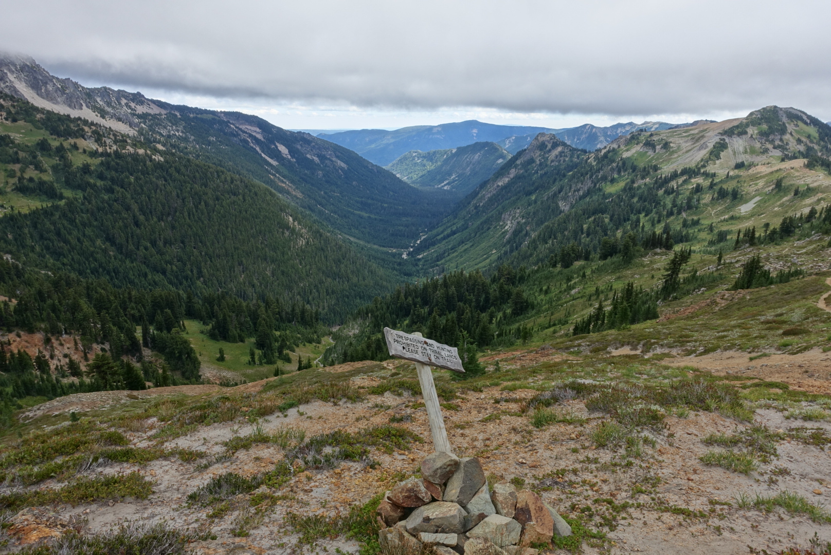
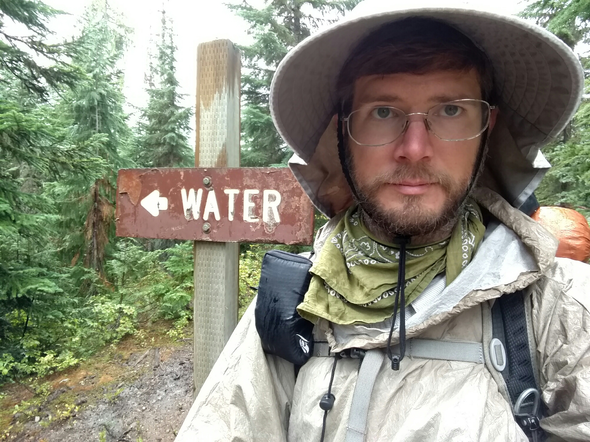
The sign was unnecessary

We didn’t want to stop for lunch. That would require opening our packs in the rain. Instead, we huddled under a tree for a few minutes, and ate the day’s snacks.

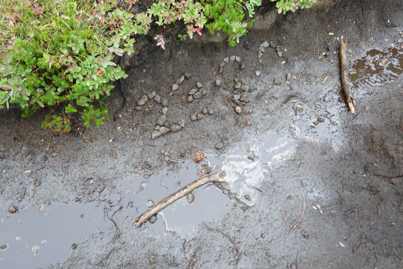
We passed the 2300 mile point today. There should be about 350 miles or so left.
image
A fittingly washed-away marker for mile 2300
image
I think this also used to say "2300"

Then, in the afternoon, the rain slowed, and stopped. The hike was tolerable again. I’d spent all morning with my arms curled up in my poncho like a T-Rex, I could take them out now.

Granted, it was still foggy, grey, and cold, but no longer raining.
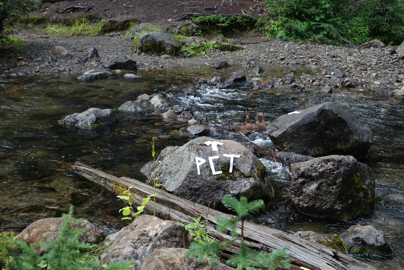
image
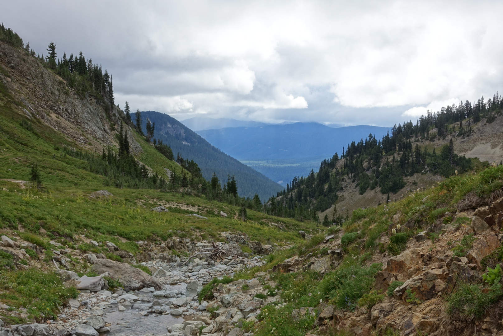
A clearly-signed stream crossing
image
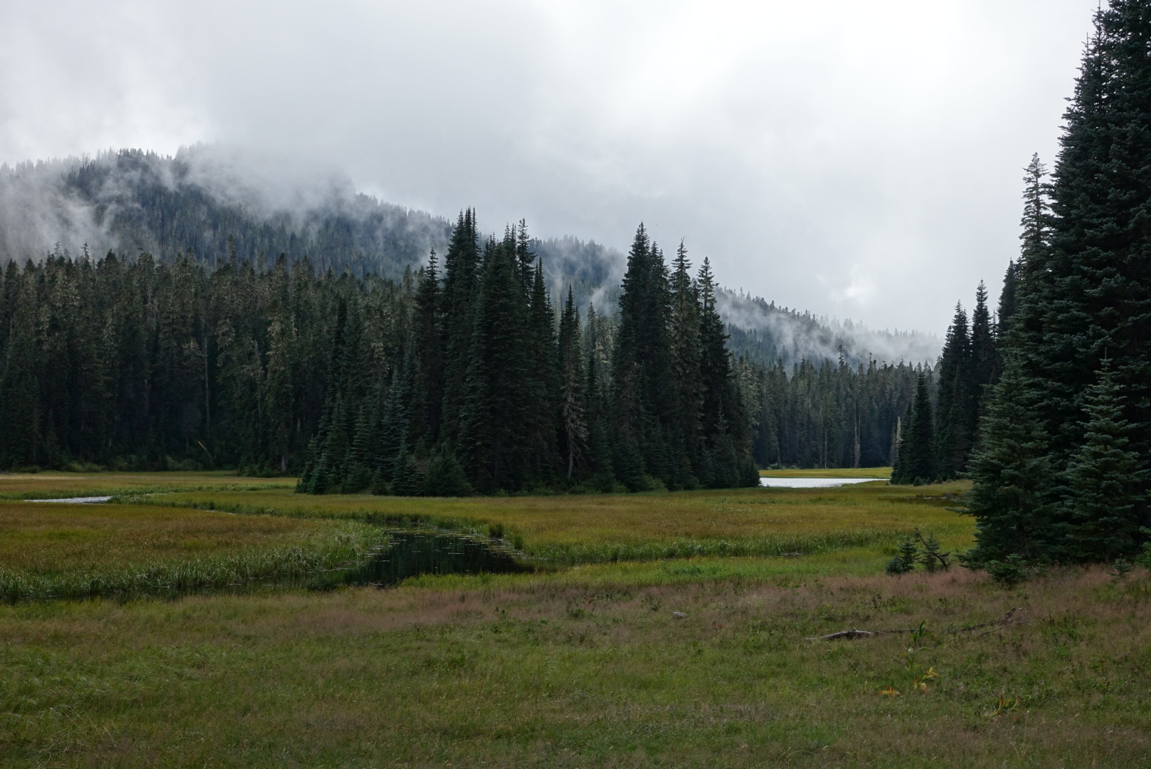
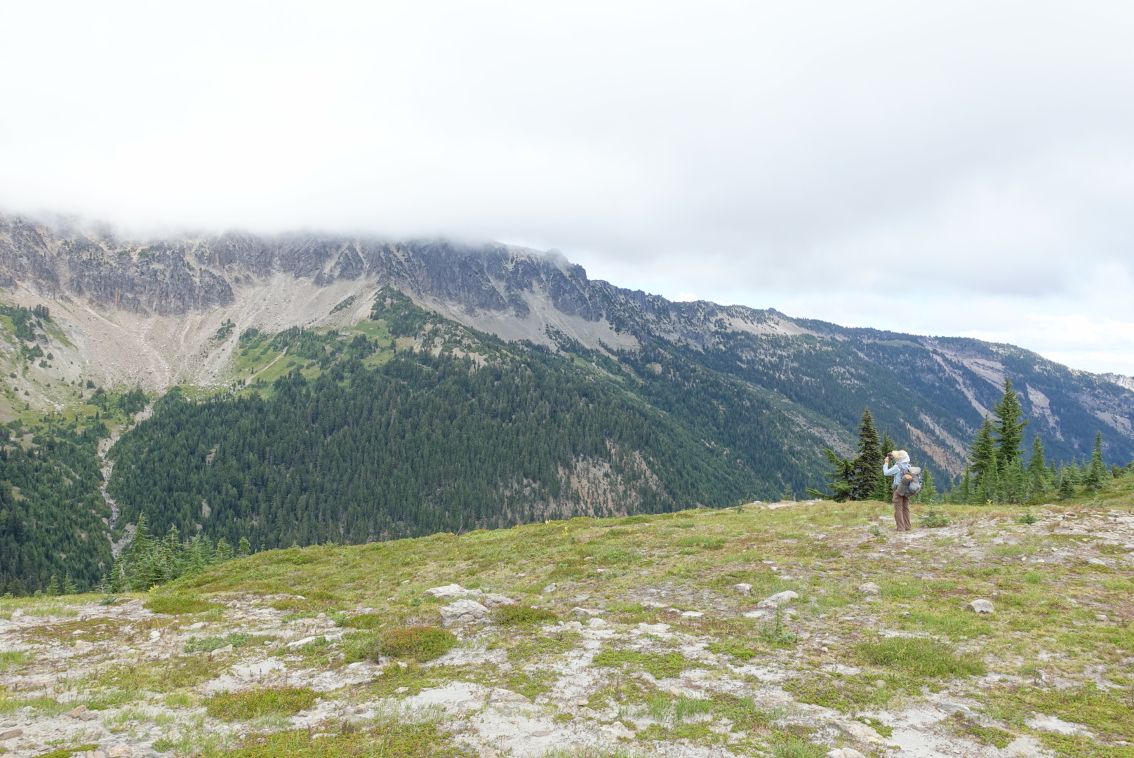
A meadow where I was no longer afraid to take out my camera

As it got late, we found a spot to camp, and carefully set up our tents for rain. The temperature dropped fast, and we were quite cold by the time we got into our sleeping bags. But, at least they were dry sleeping bags.

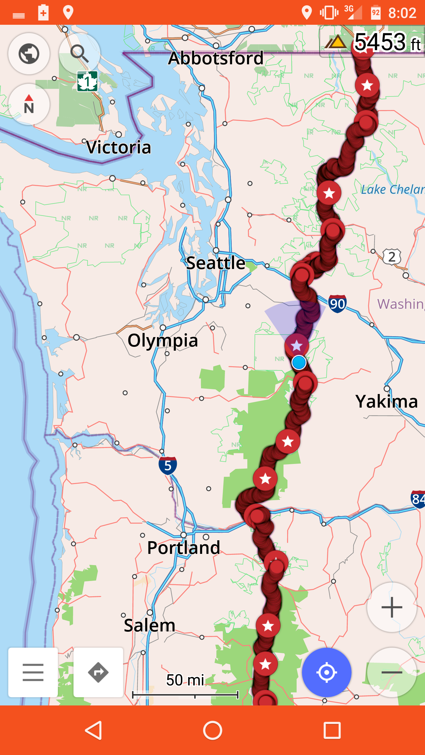
image
Elizabeth pitched right between two trees, because it didn't look like rainwater had run there. I just took my chances.
image
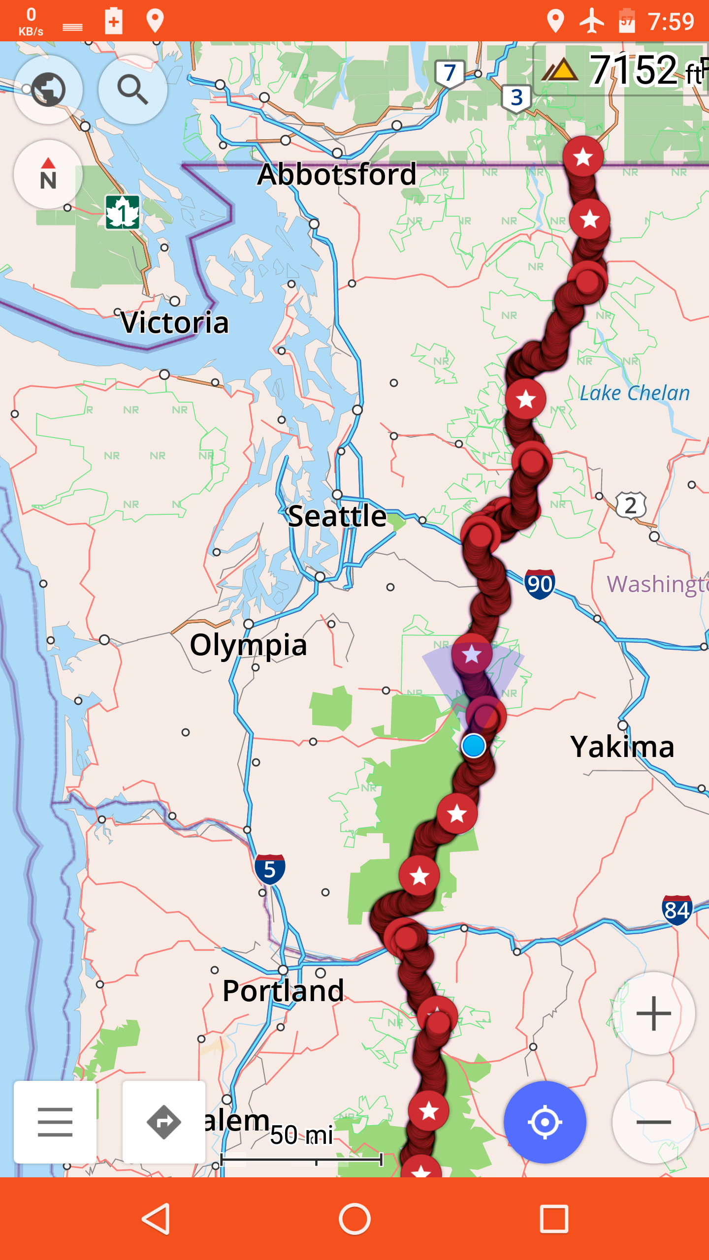
46.79082, -121.44793

347 miles left.
Old Snowy Alternate to White Pass – 9-1

Last night was bad. It began to rain soon after I got in the tent, and the wind picked up soon after.

The rain fly on my tent sags a lot, and wind makes it flap. With rain, that drove some of the rain inside.

Down loses its warmth when it gets wet, so I unbuttoned my poncho, and laid it over my down quilt, to keep the rain off. That helped, but I faded in and out of sleep all night from the cold.

In the morning, my poncho was wet, my quilt was damp, and I was sleeping in a puddle. Most parts of the tent were soaked. Outside, the rain had taken a break, but it was around freezing, and there was a steady breeze to make everything that’s wet even colder.

The fog obscured everything.

Disassembling my wet tent, my hands got numb, which made everything take much longer, which made me get colder. By the time things were mostly packed, I was colder than I’d ever been in my life.

I started feeling dizzy, and seeing stars, so I sat down on a rock and waited. It didn’t seem to get better. Elizabeth kept commenting that I was breathing strangely and shaking, but I couldn’t tell.

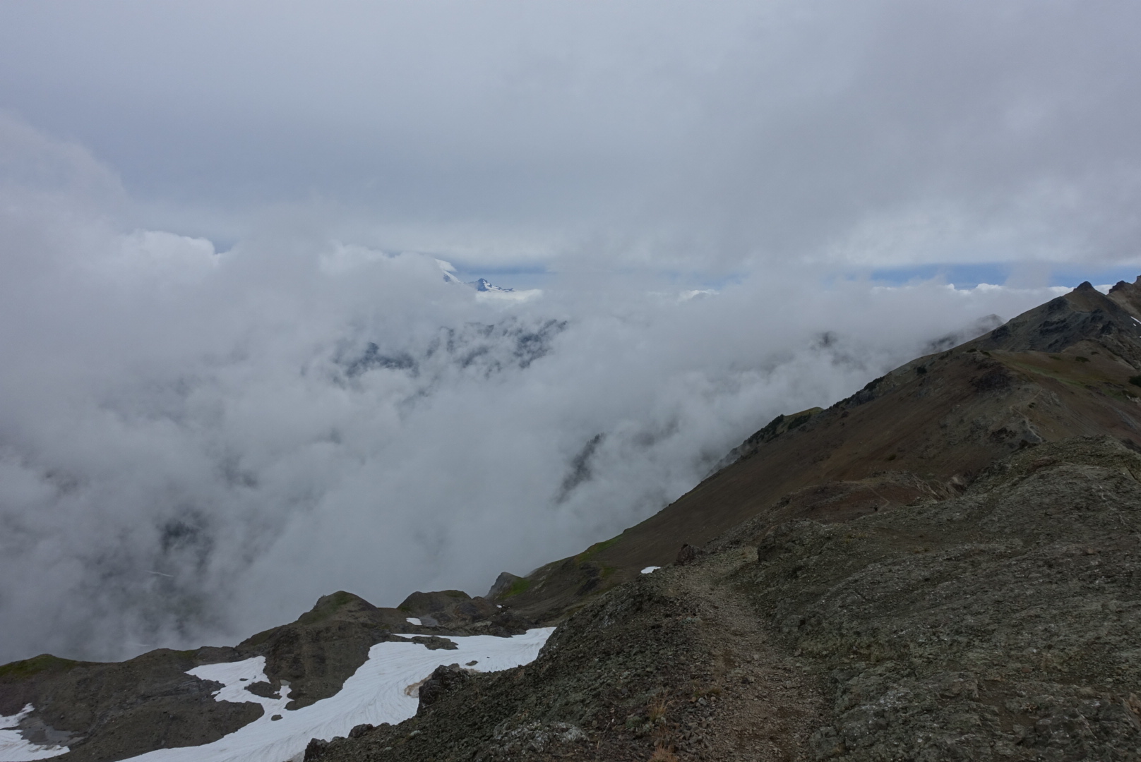
I put on my poncho as an extra layer against the wind, and that seemed to help. Around the same time, the sun rose above the Knife’s Edge, and that may have helped too. Through the heavy clouds, it looked like the moon.

We started moving up the Knife’s Edge, at a snail’s pace. As the morning progressed, the fog burned off a little, but not too much.

image
I don't remember where this was

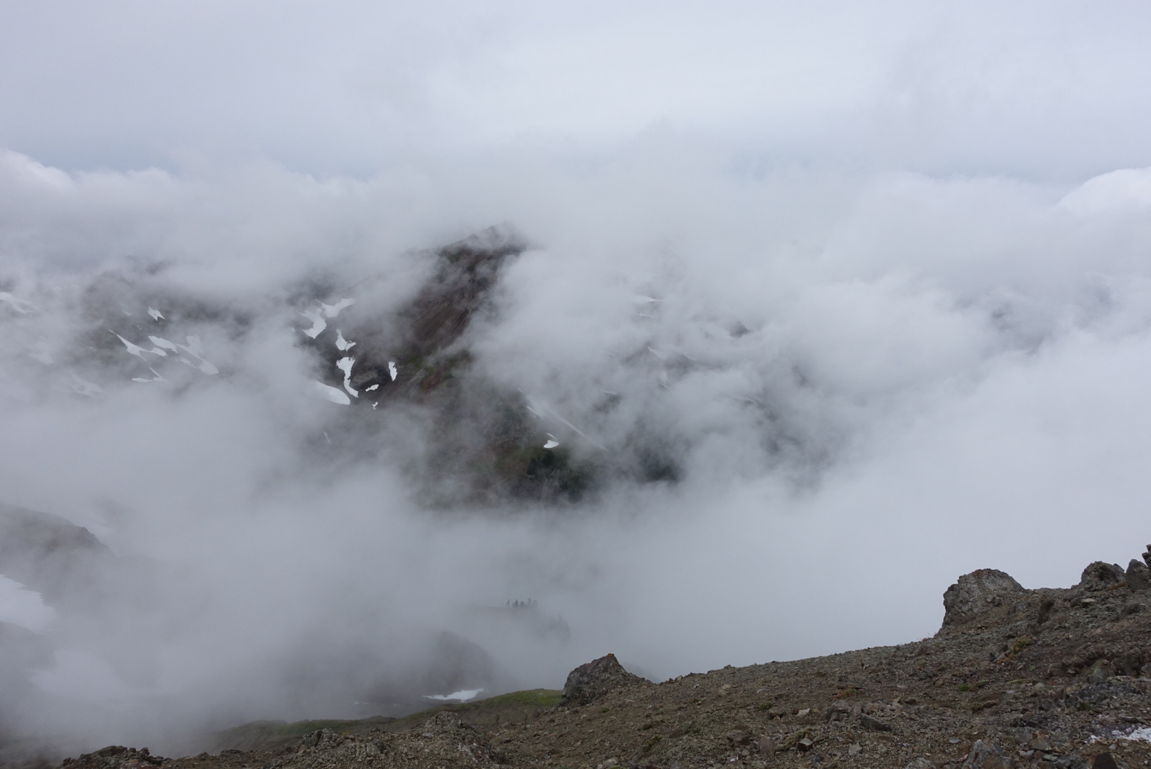
The summit showed us small peeks at mountains, but not too much.

image

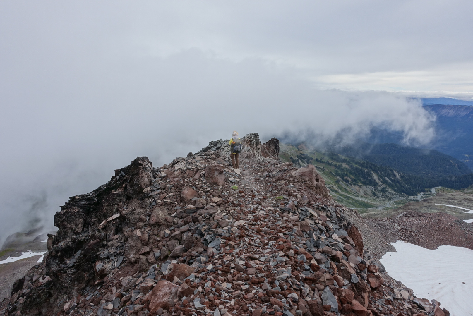
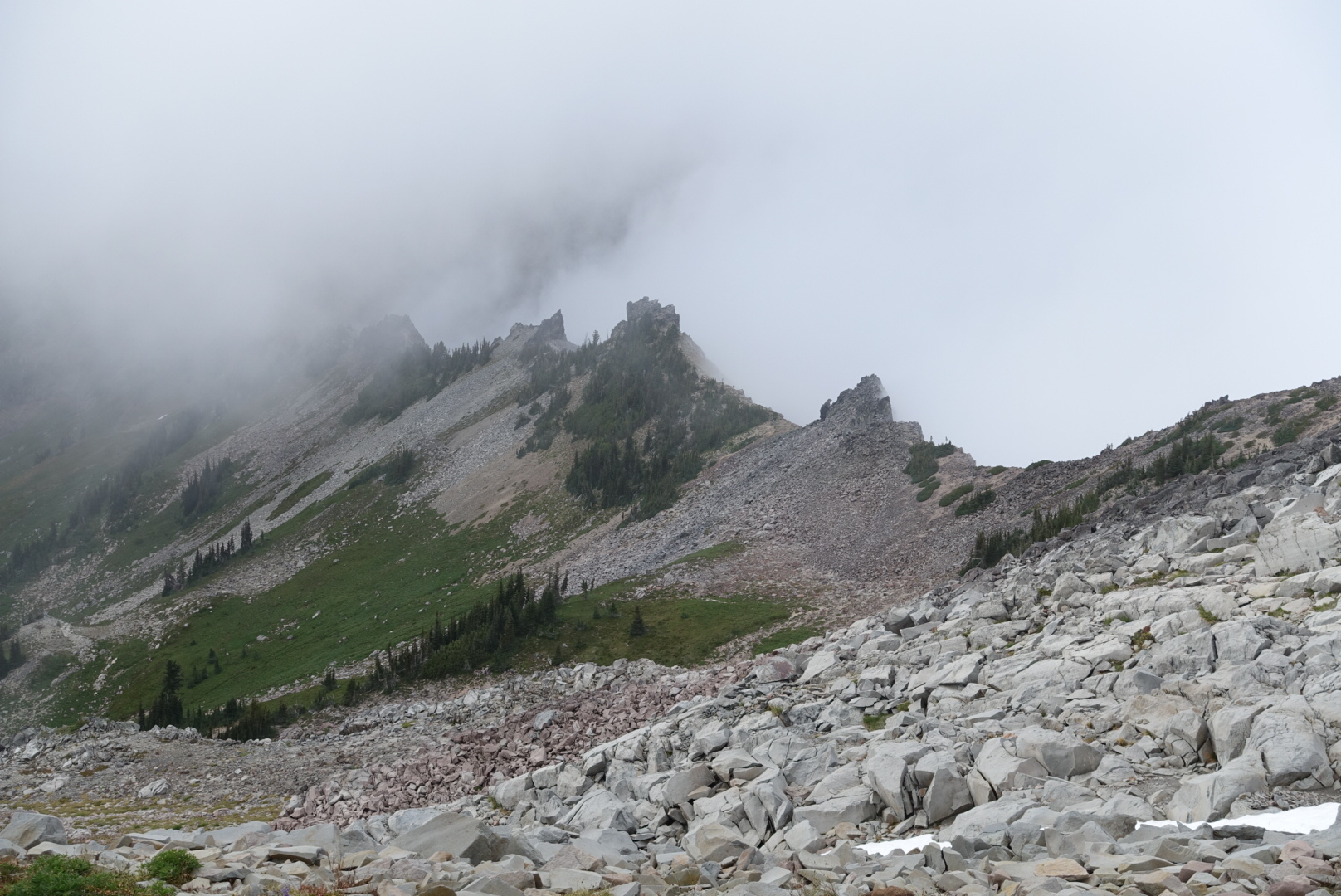
We started the descent, along the famously razor-sharp trail.

image

image

image

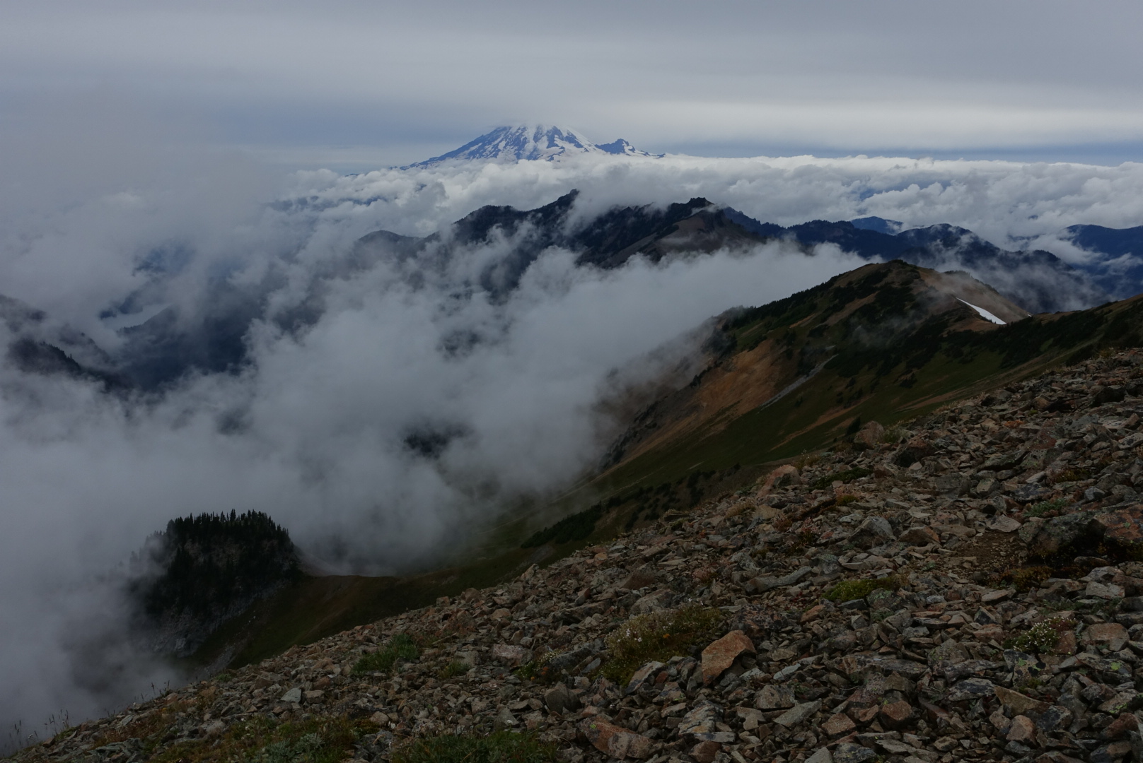
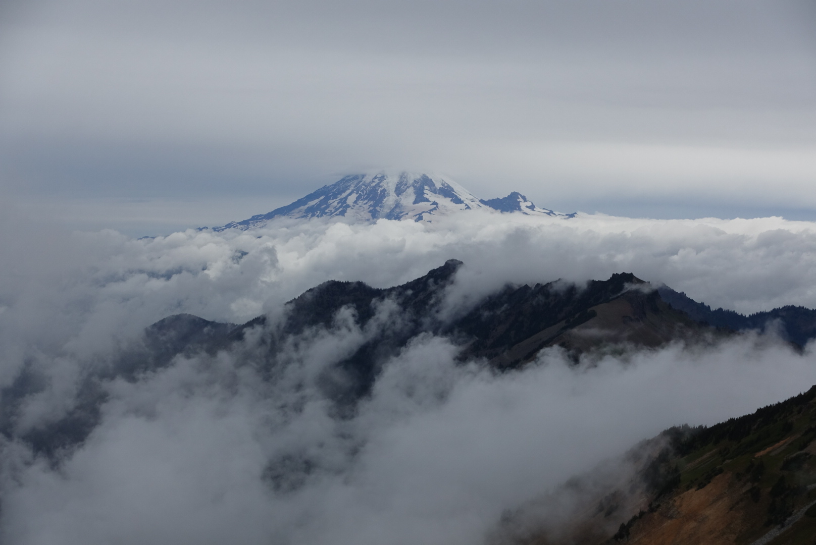
After the alternate ended, we continued along the ridge for a while.

image

image

image

Soon, we descended to more ordinary views.

At this point, we’d covered only about 3 miles in 2 hours. We needed to reach White Pass before it closed, if we wanted dinner. I’d be out of food, otherwise. Besides, all my gear needed to dry out, and there was supposed to be a motel near the resupply. The weather certainly wasn’t going to dry it for me today. So, we got going.

And, that continued all day. I started feeling better, and we began to make good time. I didn’t have a choice — if I didn’t get to the White Pass motel, my wet gear would make tonight awful, and that on no dinner, too.

image
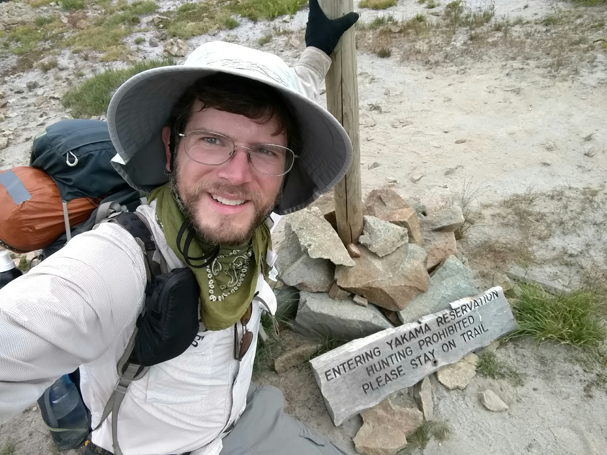
I crossed some borders on the way

Around 5, I made it to my destination.

image
A gas station by a closed ski lodge

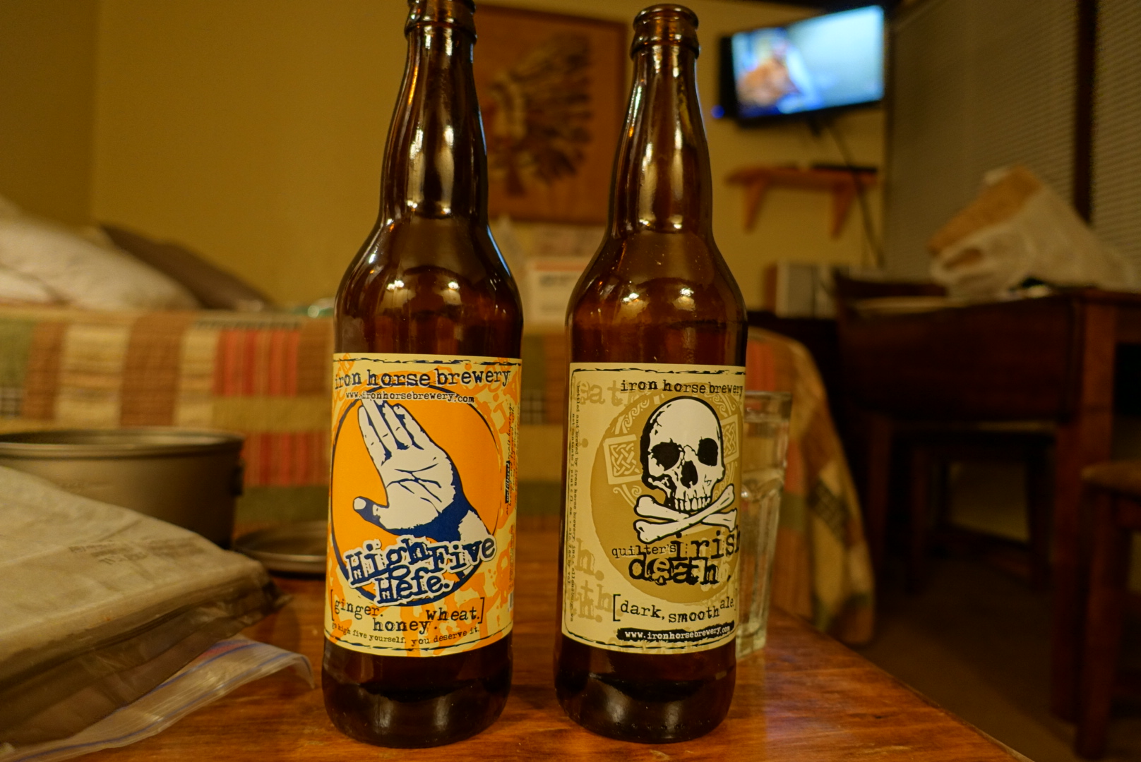
We got a room, dried our gear, and got hot food. The only hot vegetarian food they had were bean and cheese burritos. So I had four of them. The only beer singles they sold were from a Washington brewery called Iron Horse, so we tried two of their beers. Both were good, or at least seemed that way after today.

image
Fun fact: 75% of America's hops are grown in Washington's Yakima Valley

After setting up my gear to dry, I took a shower. There was no hot water left. I finished my coldest day with a cold shower.

image
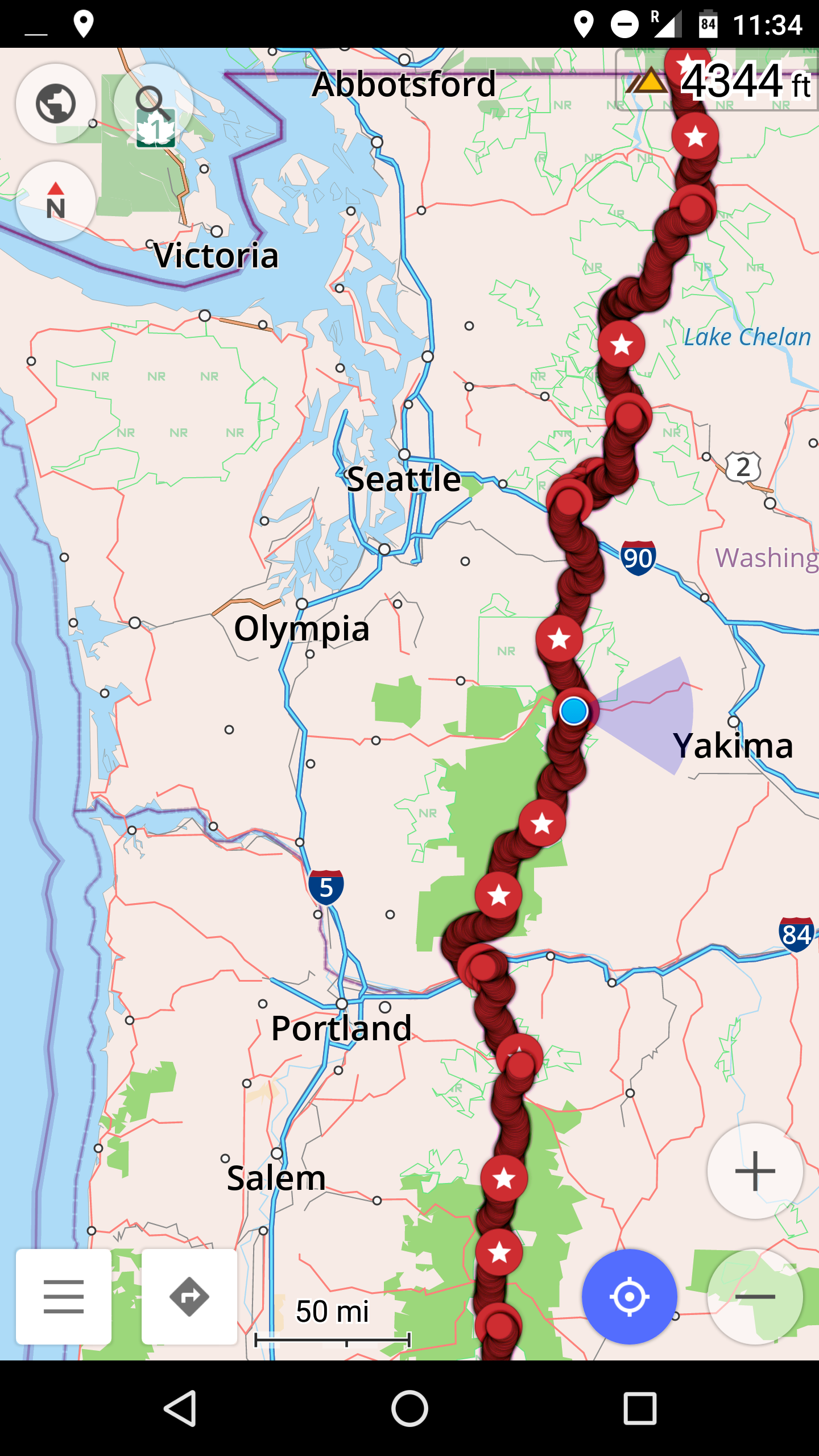
46.63949, -121.38993

367 miles left.
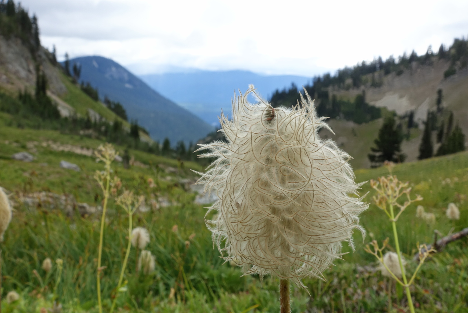
CS2251 to Old Snowy Alternate – 8-31

I woke up with condensation on my rain fly and my quilt. Washington was getting me wet even without rain. We got up and got moving. It was a cold morning, and the air felt damp.

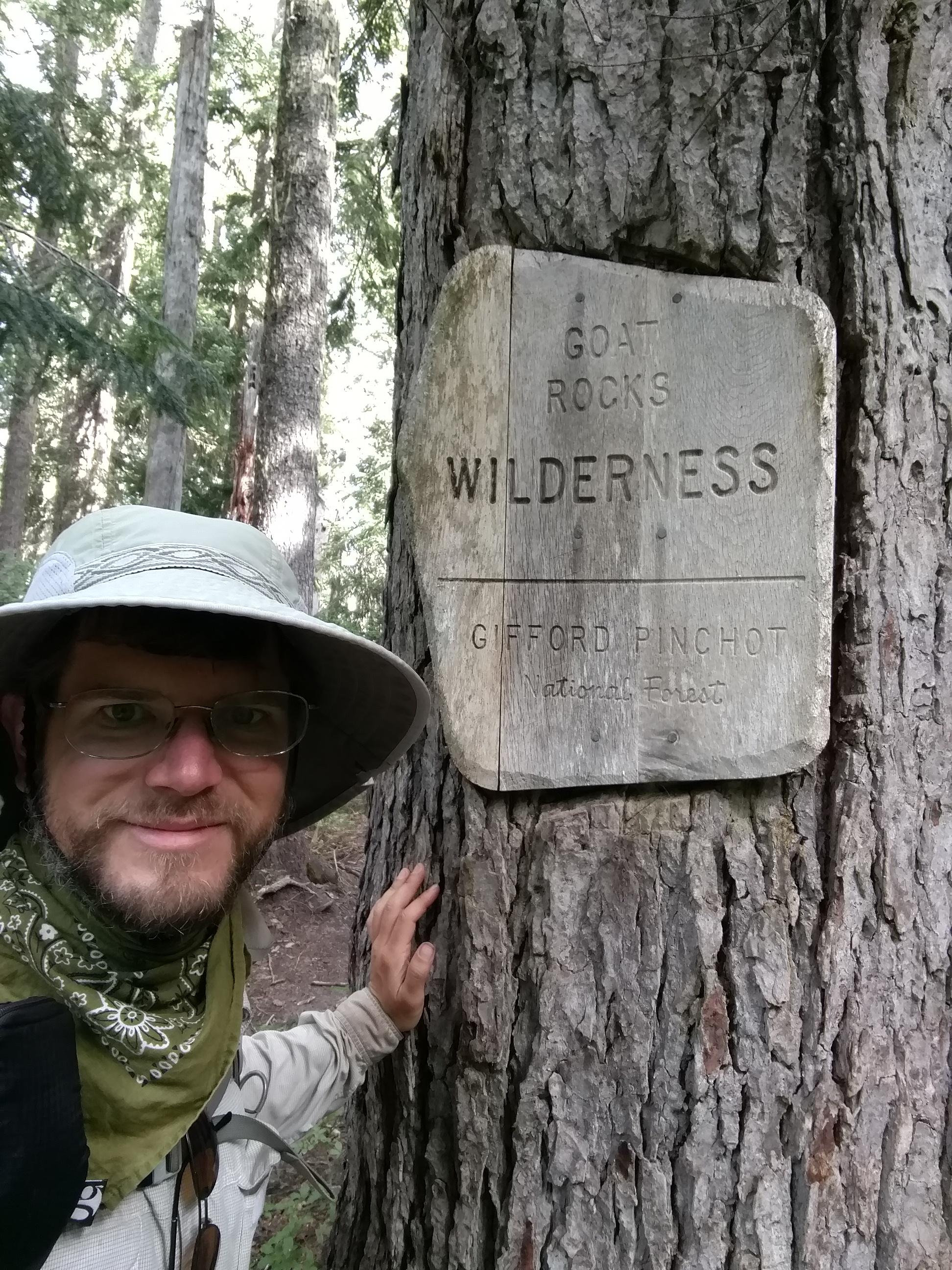
image

This morning we entered the Goat Rocks Wilderness, which is reputed to have some of the best scenery on the PCT. And yes, it has goats, and it has rocks.

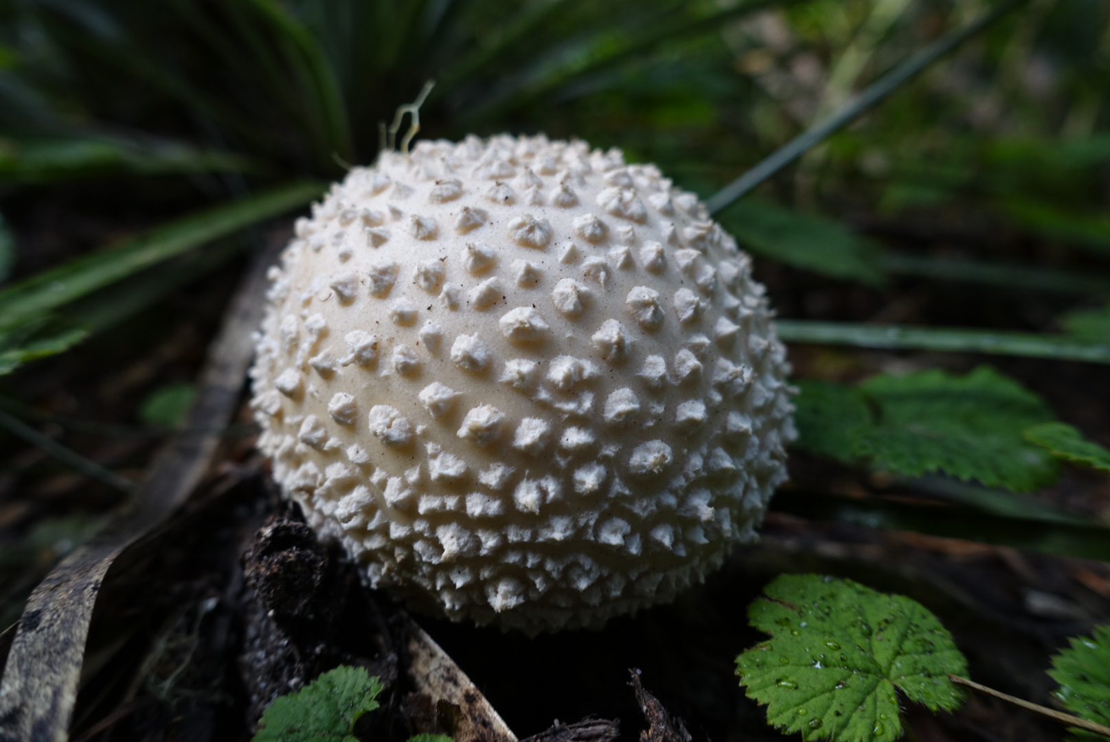
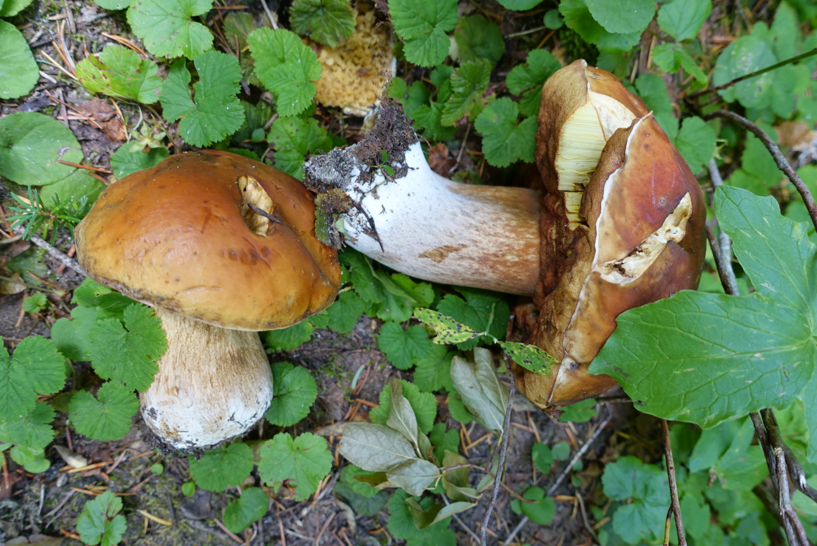
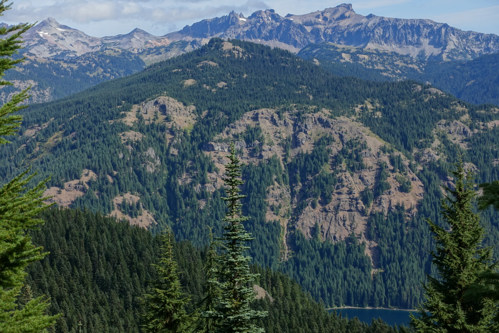
But, the morning was much the same as we’ve been seeing lately. Damp woods, with interesting fungi, and occasional views of mountains.

image
Slightly larger than a golf ball
image
The size of a bag of popcorn
image
Not a fungus
image
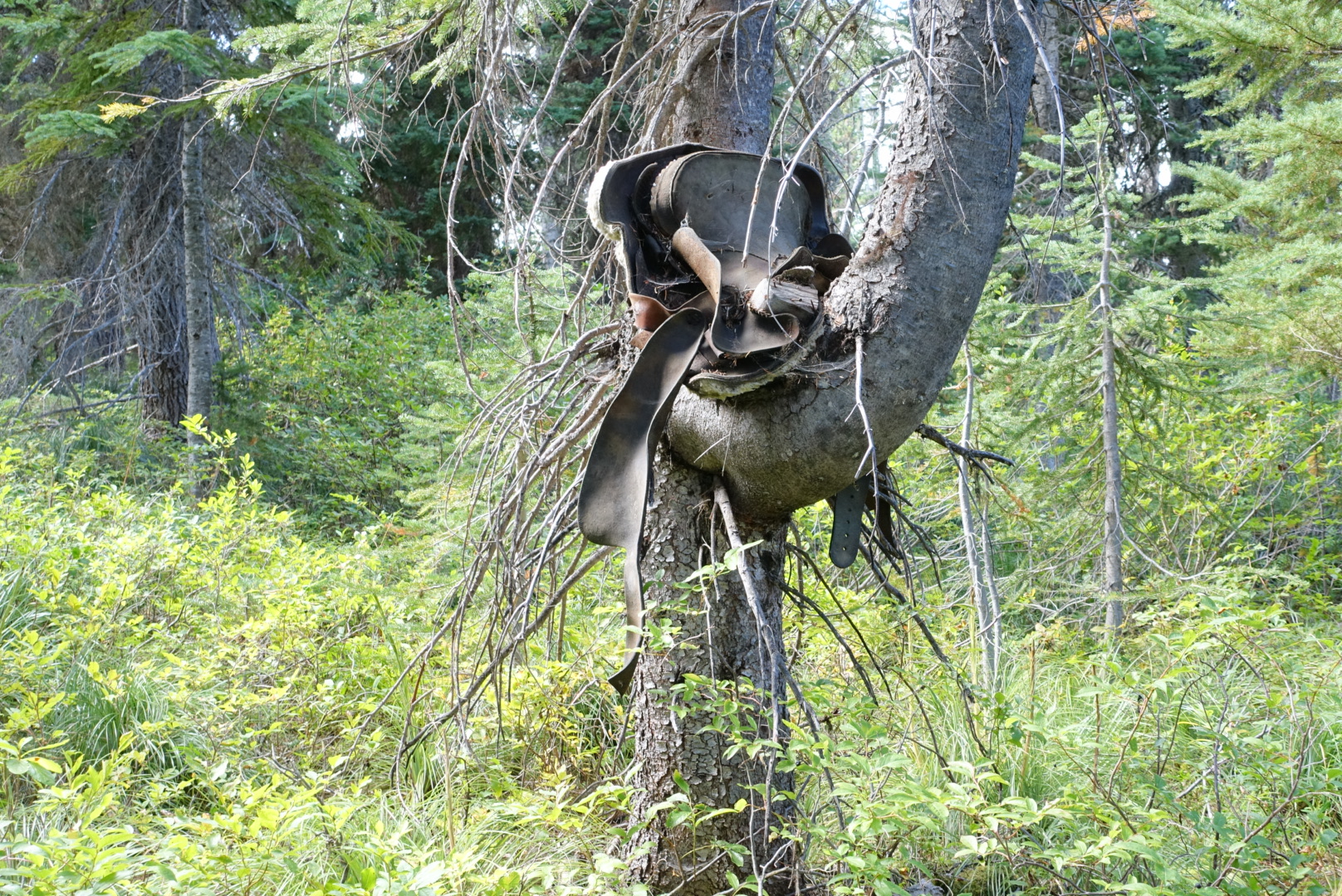
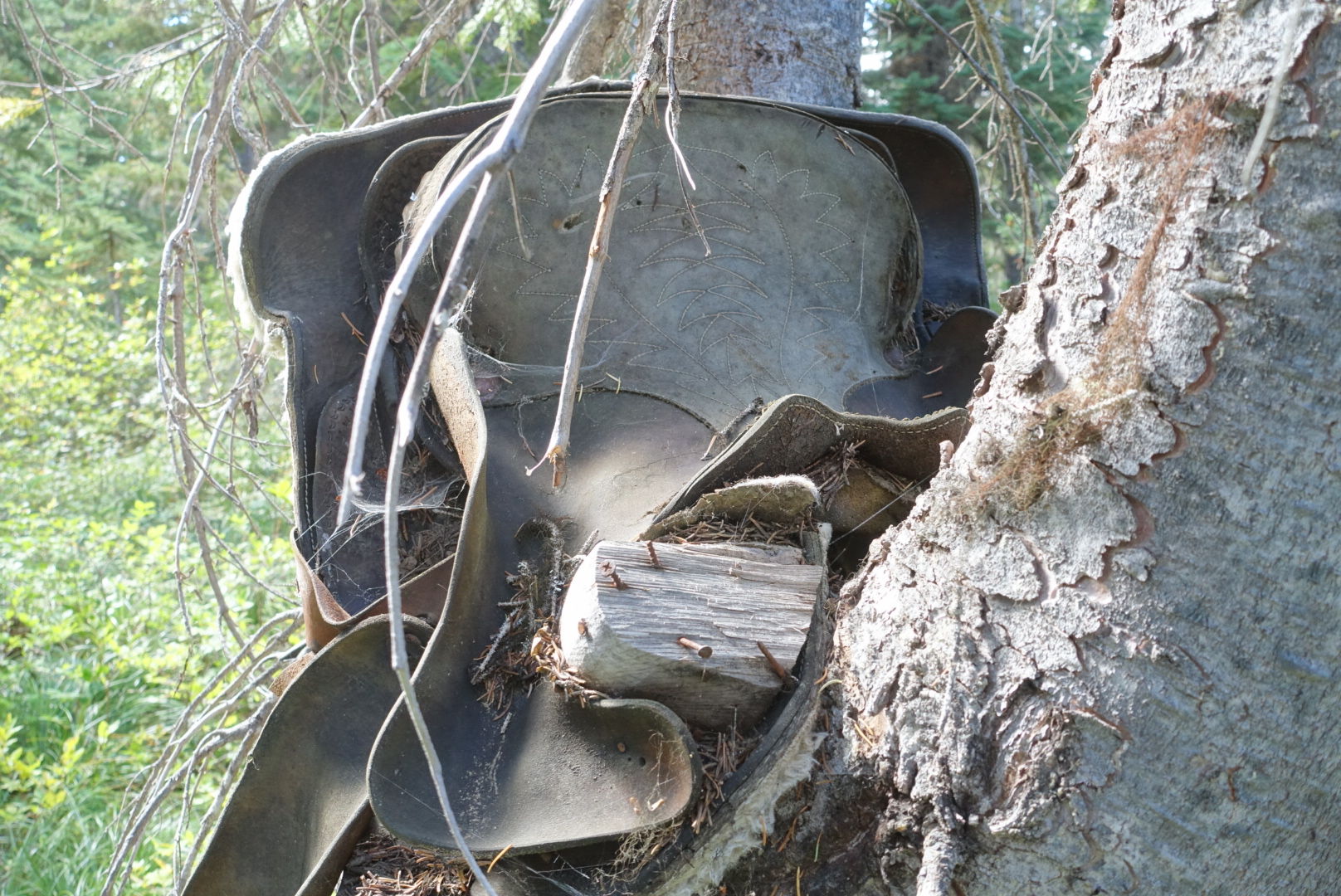
Someone nailed a horse saddle into a tree saddle

image

image
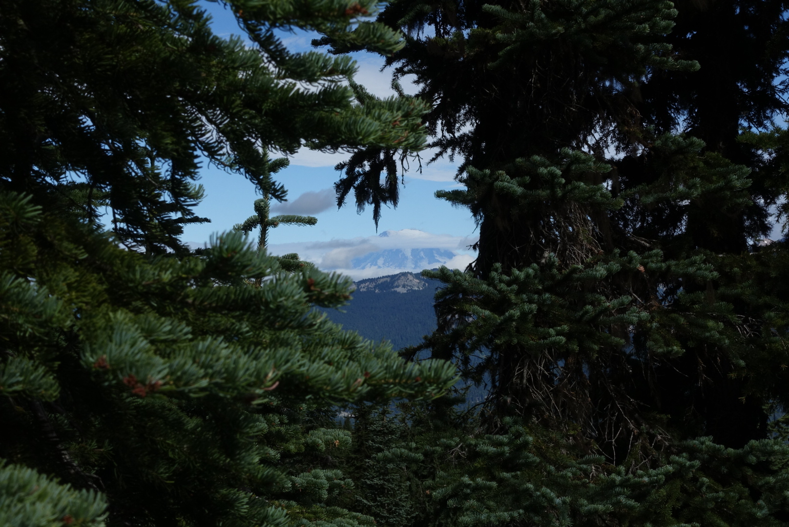
Mt. Adams, getting cloudy

There’s an old joke about Mt. Rainier. They say you can predict the weather by it. If you can see it, it’s about to rain. If you can’t see it, it’s raining. We caught a brief glimpse of it before noon, but soon clouds were rolling in.

image
You could kind of almost see Mt. Rainier briefly

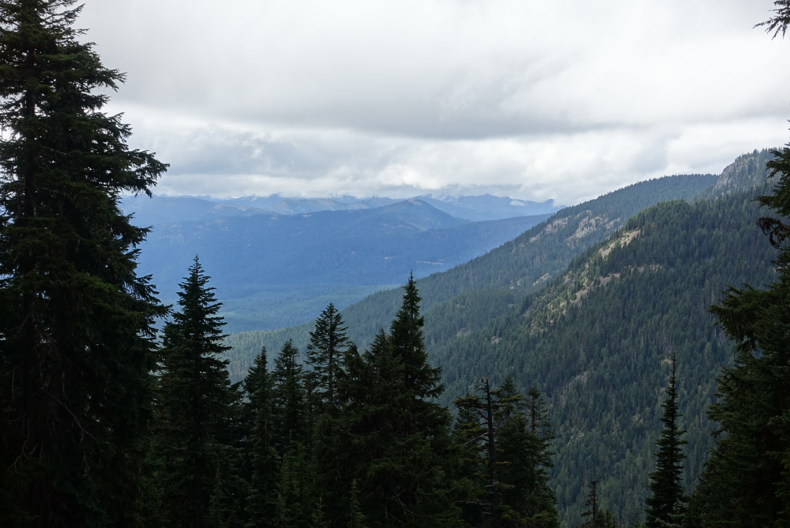
By the early afternoon everything was overcast and covered in fog. No more clear views of distant mountains.

image
Low-hanging clouds bode poorly for the rest of the day
image
The trail passes through another reservation here
image
The reservation land was beautiful

image

image

The trail continued, and we saw more and more overcast scenery, but none of the goats that this area was named for.

image

image
We did see some miniature Lorax trees here

image

As the day grew later, the weather got worse, and we began to climb to higher elevation.

image
The rain had clearly rolled in to some areas

We started to get intermittent drizzles as we ascended above the treeline.

image
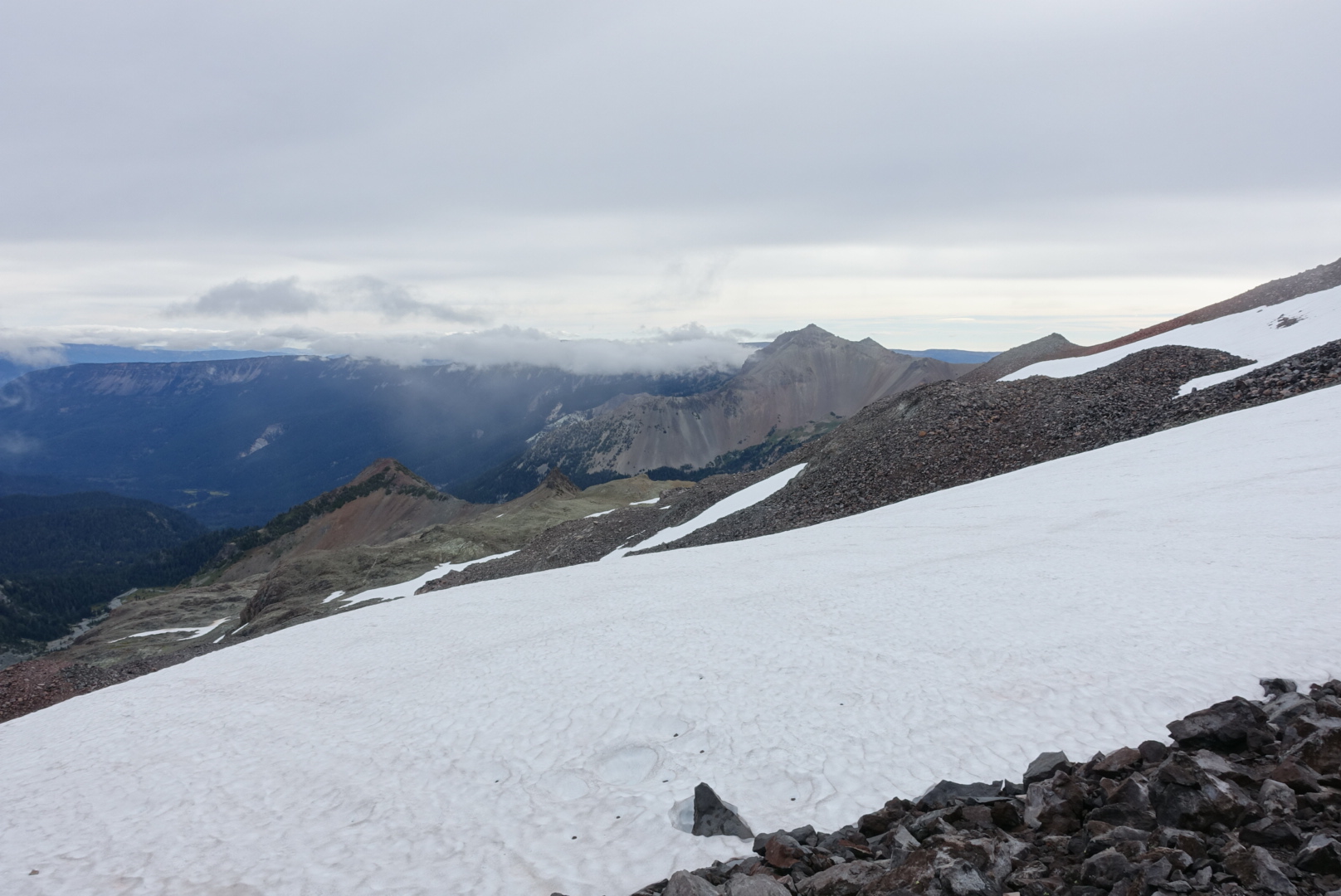
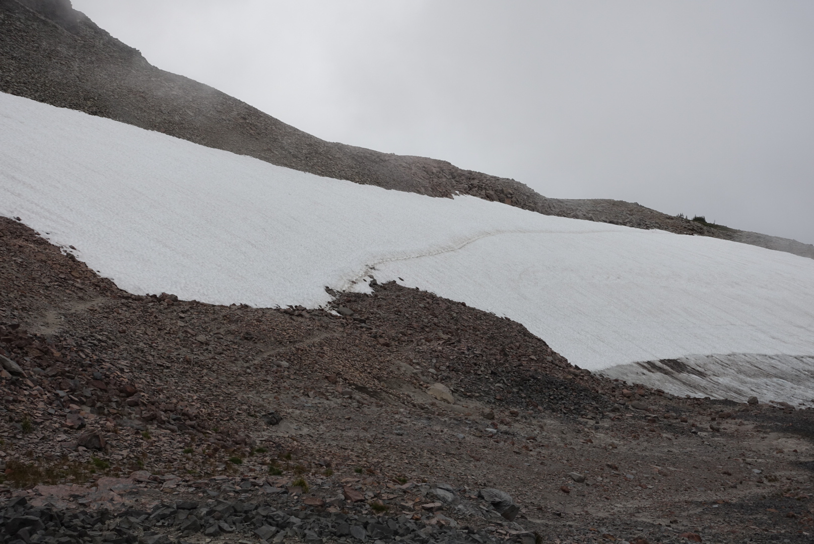
A long snow crossing and ice pond, like the Sierras used to have. Except, now there isn't a warm summer sky above.

image

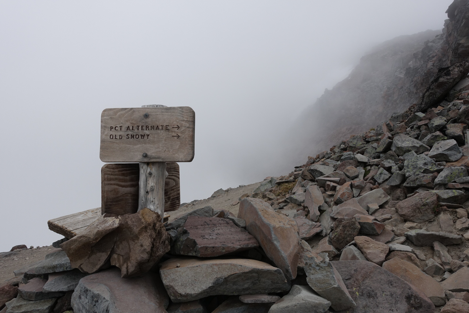
We reached a branch between two sections of the trail. A lower, official route, and a higher alternate.

The lower one used to be the equestrian route, and takes you through a cut in the side of the mountain next to a steep slope covered in snow. It could be extremely slippery late in the day when snow is melting, or with rain. Thinking back to Sonora Pass, I didn’t have a good record with slippery snow.

The higher one used to be the hiker route, but it’s now called the “Old Snowy Alternate,” after an adjacent mountain peak, or “The Knife’s Edge,” after its route along a jagged ridge. It had a reputation for the best scenery on the trail in clear weather, or for being a terrifying viewless fog tunnel along dangerous terrain when the weather is not so clear. The weather today was definitely not so clear.

image

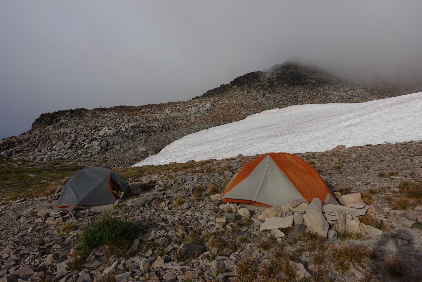
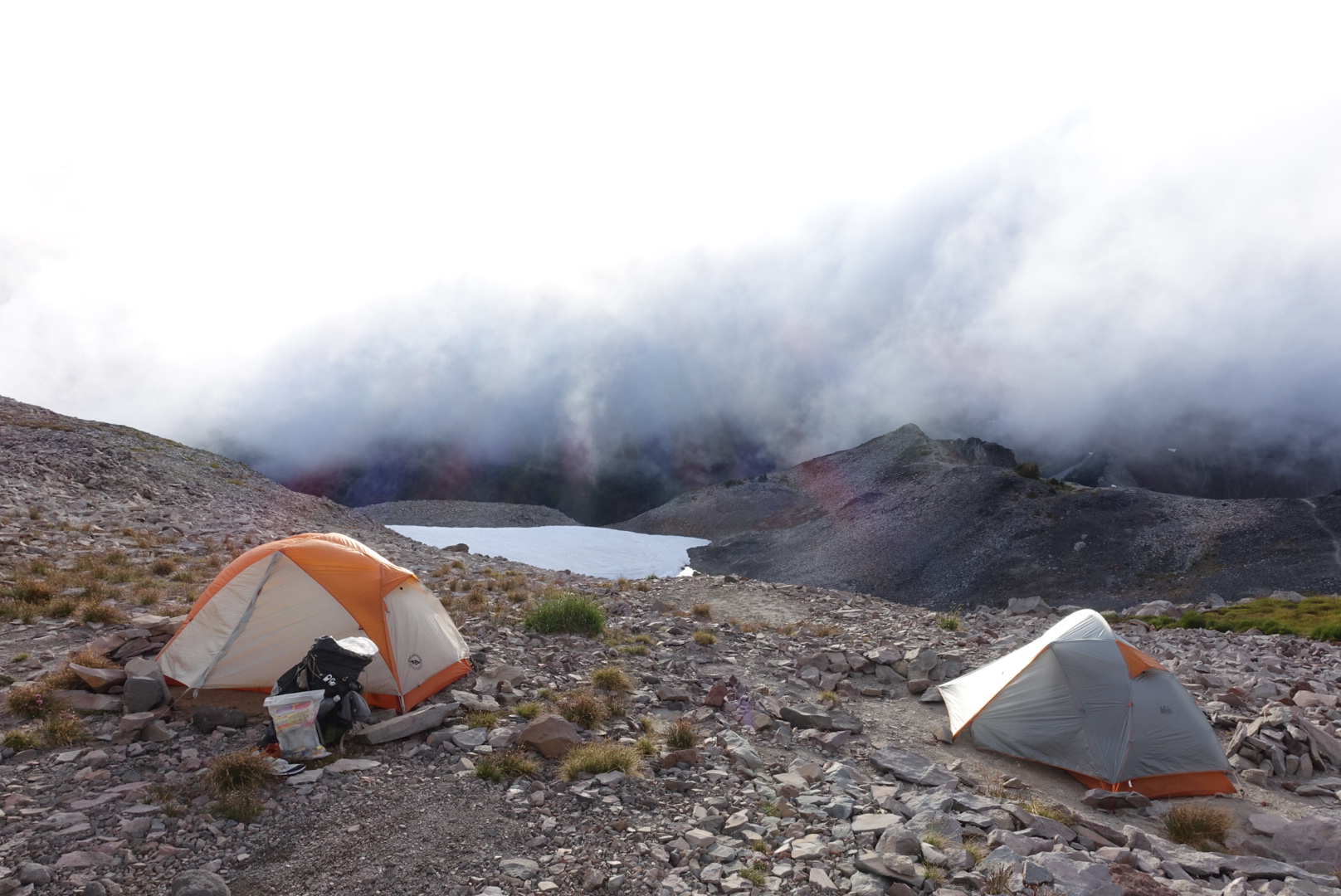
We decided to make camp early, and hope for better weather tomorrow on the Knife’s Edge. It was about 5:30, so we were only missing about 5 or 6 miles for the day. We found some cleared tentsites among the rocks next to a snowfield, and started to make camp.

It got colder and windier as I struggled to put my tent up. The rocky ground made driving stakes nearly impossible, so I wrapped my tent’s guylines around rocks, building little cairns to hold them in place. It was fiddly, frustrating work, as the tentsite got colder and windier.

“It’s getting cold,” I said to Elizabeth, “I mean, really cold.”

image
No view of the stars tonight

image

Soon after I finished pitching my tent, it began to rain. I got inside the tent, and looked at my work. The rain fly can’t be pitched very tightly on this tent, so it was flapping against my tent’s body, transferring rain inside.

Right now, I’m huddled in my tent, watching drips make their way through my various defences. This might be a rough night.

image
46.51352, -121.46090