Tule Springs to CS160 – 5-17

Andy was gone without a trace by the time we woke up. She was planning a long, slow hike to the Paradise Valley Cafe, where she could get a ride into Idyllwild, to address her foot problems, so she needed an early start.

One thing about the PCT is that it’s so well-traveled, you can get help by just stopping. Other people will pass by before too long. So, she’ll certainly make it to the Cafe, the only question is how slowly and with how much pain.

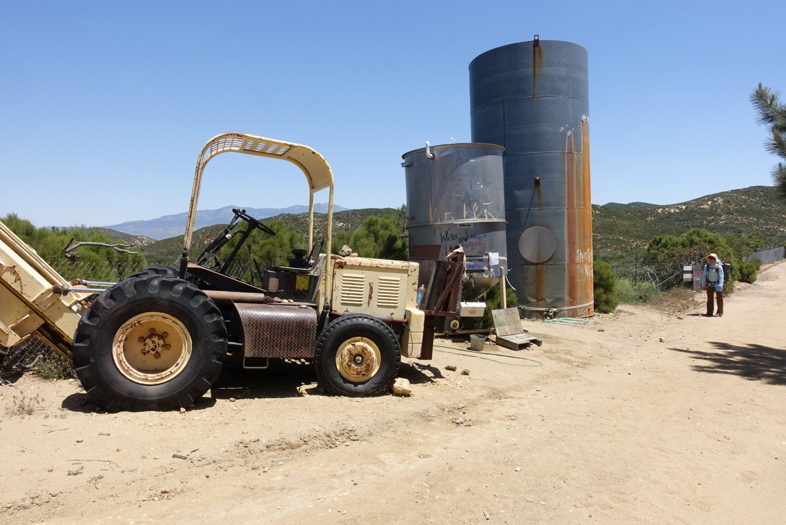
As for us, we packed up and started hiking. It was a long way to the Cafe, and it was through a hot, dry, section of relatively monotonous desert. The only features in the area (aside from the endless creosote bushes and cacti) were occasional greenhouses and windowless buildings, placed at apparently random points in the landscape, attached to large water tanks.
image
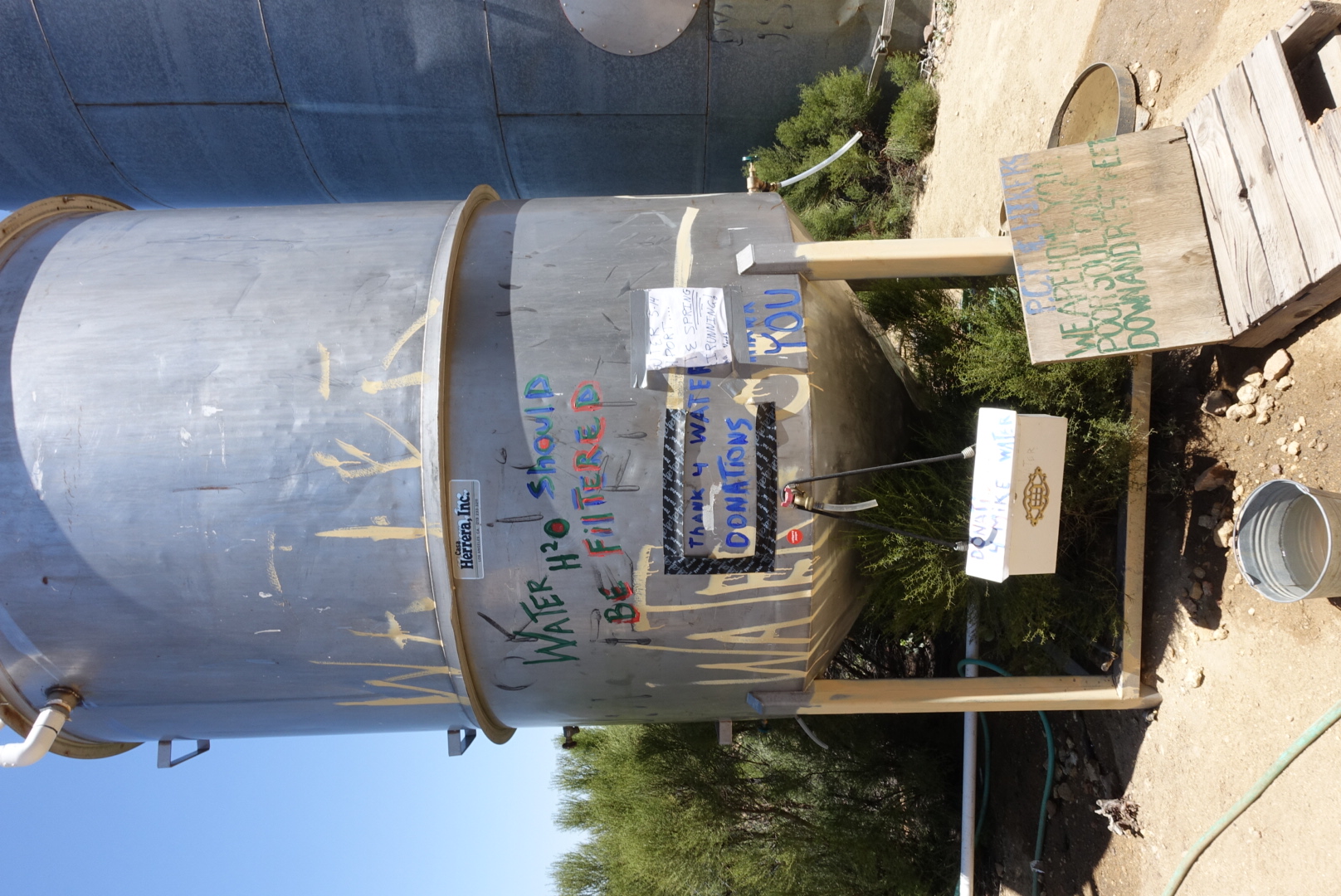
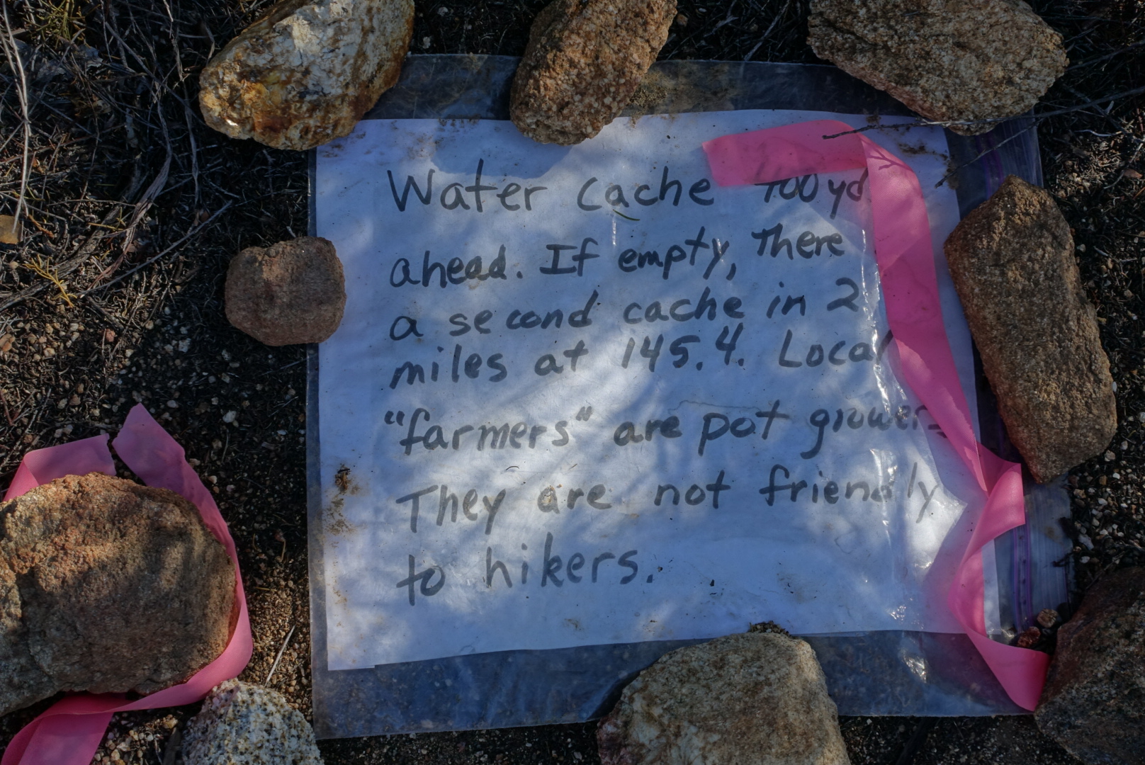
A sign on the ground explained

The water report said there was no water on this section of the trail, so we were carrying enough to get to the Cafe, but we took a look at the water caches anyway.
image
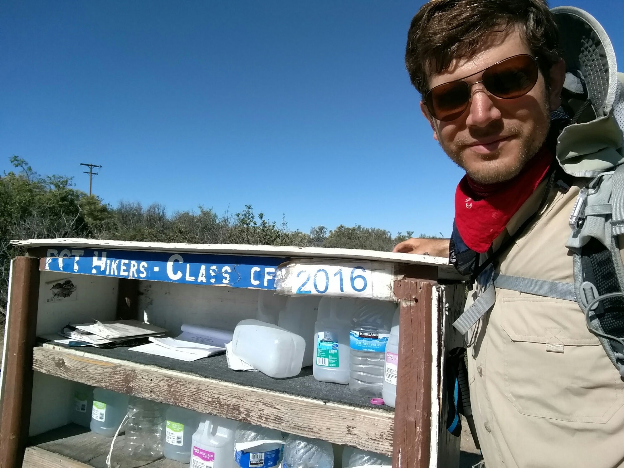
Me and a famous cache

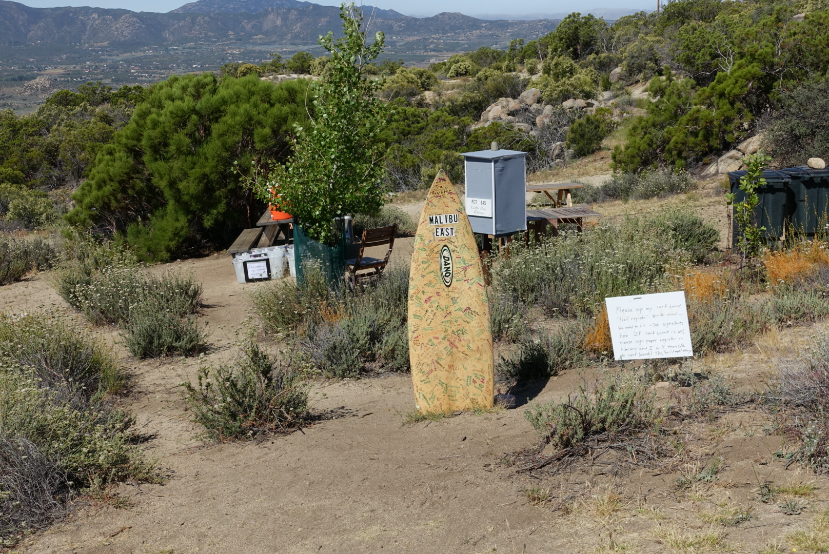
When we saw a sign calling a water cache “Malibu East”, we decided to take a look despite our ample water supply.
image
Welcome to Malibu East Water Cache
image
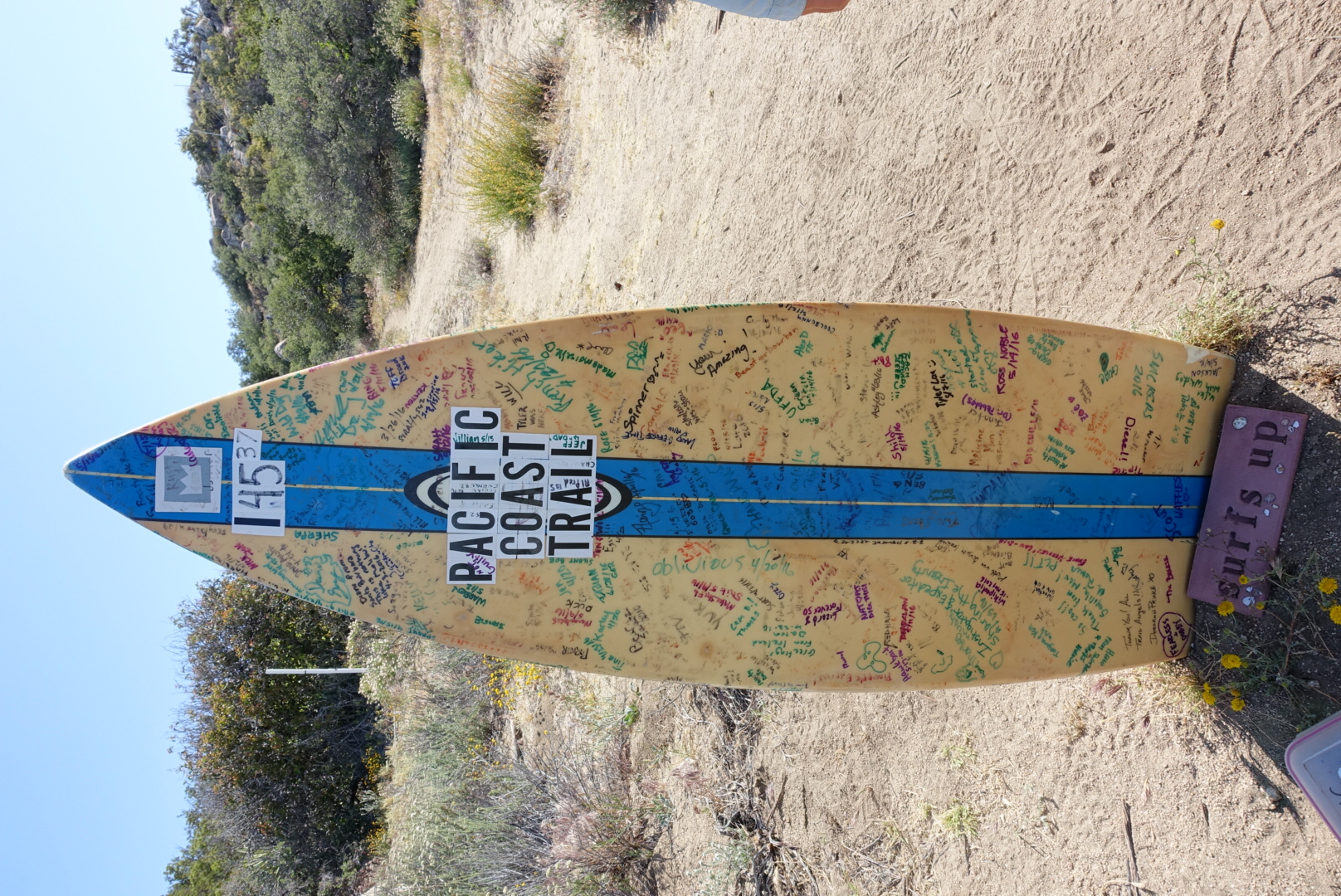
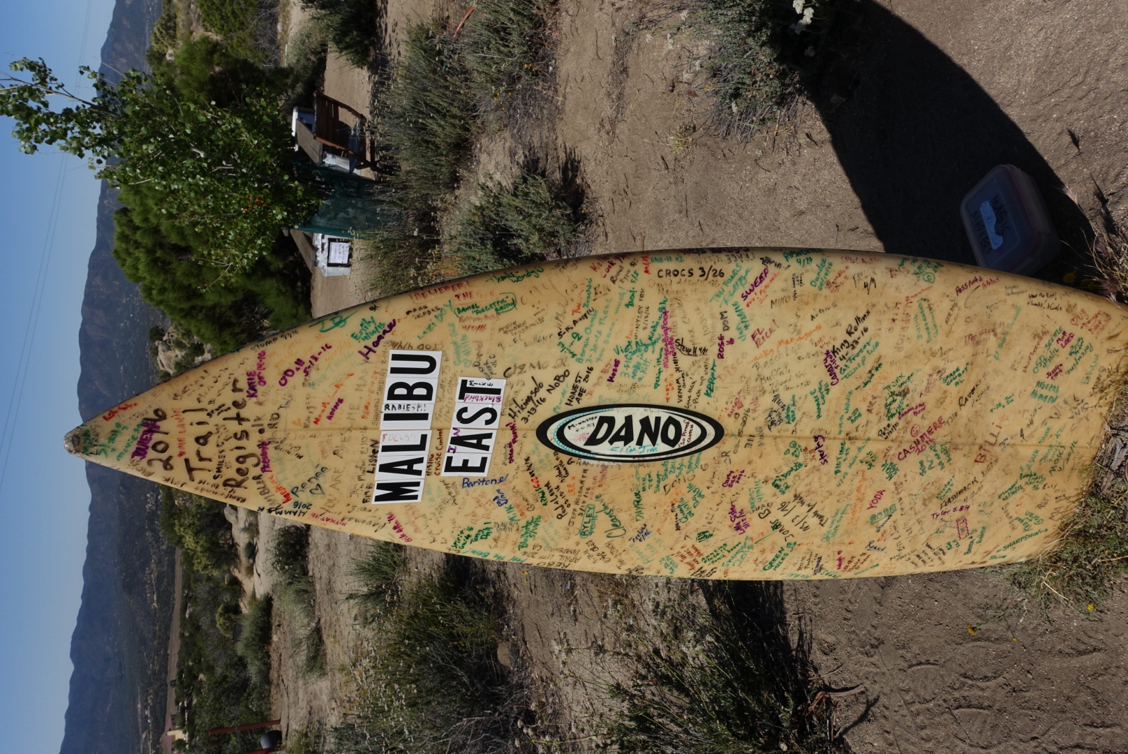
An unusual trail register
image
Surf's up on the PCT
image
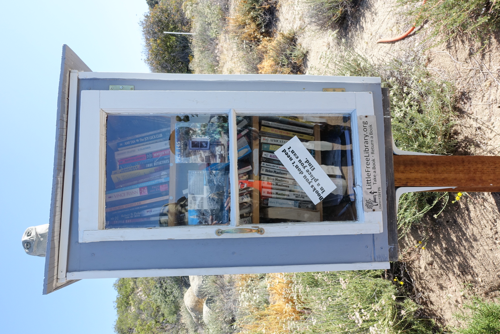
A tiny trailside library
image
Its contents
image
Taking a break at Malibu East

Not only was there a water cache, there was an irrigated tree providing shade, a picnic table, a hiker box, a cooler of soda, a cabinet of books on a post, and a surfboard acting as a trail register. Neat!

After a brief rest, we pushed on into the endless creosote and dust.

After a couple hours, we turned a corner and came face-to-face with none other than Andy, sitting down and smiling. “I’ve got new blisters” she said, grinning. She seemed to be toughing it out just fine. Elysse, from our campfire at Agua Caliente Creek, was resting alongside her.

After a few more miles of creosote, the trail descended into a grassy valley, and then finally to the highway to the Paradise Valley Cafe. We only had one mile of road walking between us and lunch.

We saw some other hikers hitch a ride for this last mile. They took a few minutes to load into the car, then took a 2-minute ride to the Cafe. They got there way before us.
image
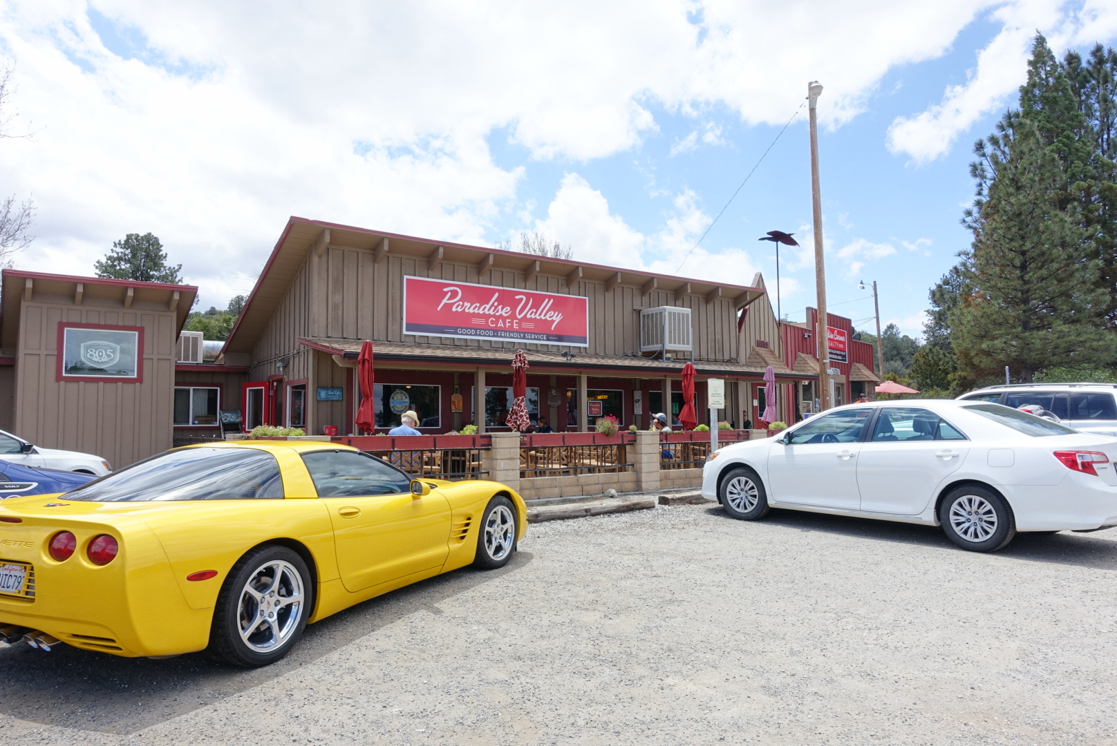
The Paradise Valley Cafe
image
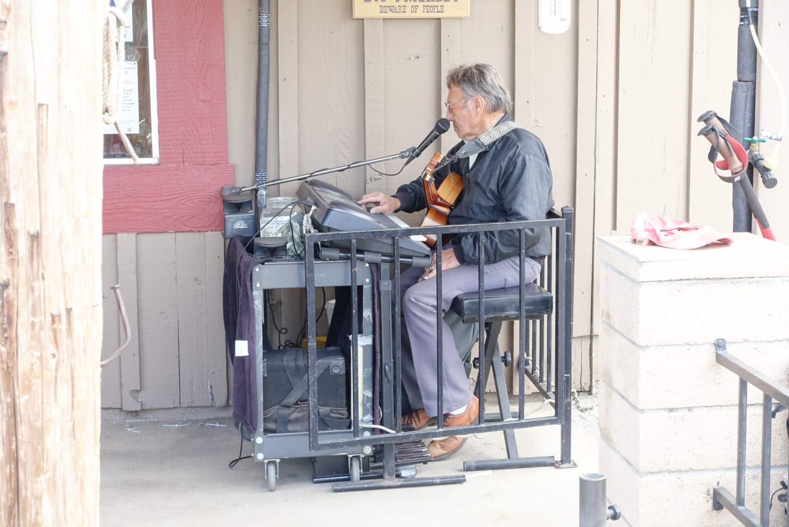
Music included

The cafe patio was filled with hikers, both familiar and unfamiliar. We chatted, and had a nice lunch. They were out of ice cream, so no milkshakes for me, but their Paradise Valley Blonde Ale was delicious.

After the meal, we discussed the upcoming fire closures with Garret and Brianna. Most people were hitchhiking around them, but the four of us wanted to walk, so as to have walked all the way from Mexico to Canada, (albeit not entirely on the PCT). The upcoming Mountain Fire Closure had a well-established alternate, but we would probably all travel together through the less-established Lake Fire alternate.

As we packed up to leave, 5 minutes before closing time, who should walk in but Andy and Elysse. They sat down and ordered, triumphant.

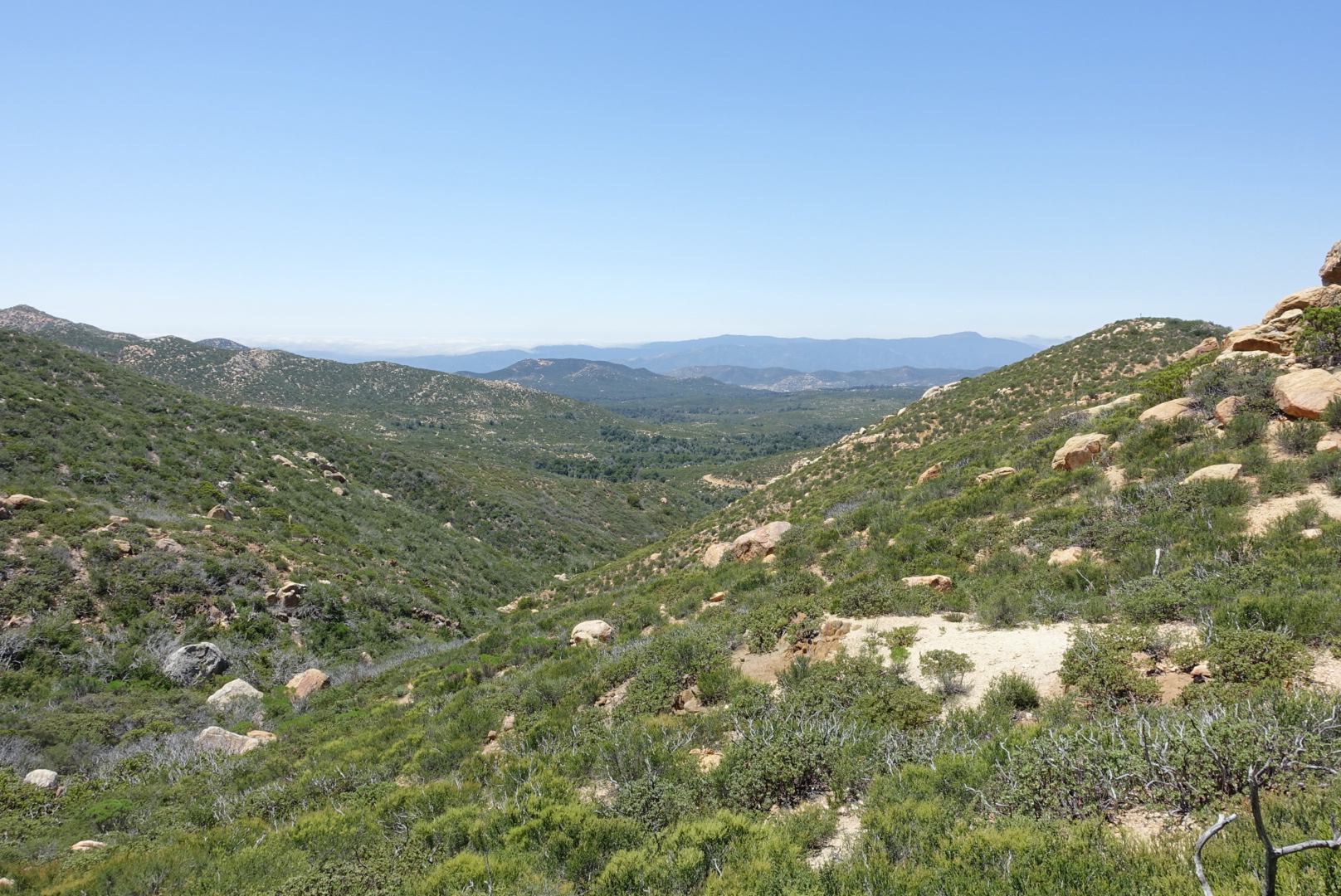
After a mile of road walking back to the PCT, we started our ascent into the San Jacinto mountain range, towards the first fire closure boundary. The trail was rocky and step, like the Sierras, and very unlike the rolling hills of creosote that we’d just passed through. Bright wildflowers of many colors lined the trail, and long views down to a desolate desert emerged on our right as we ascended.

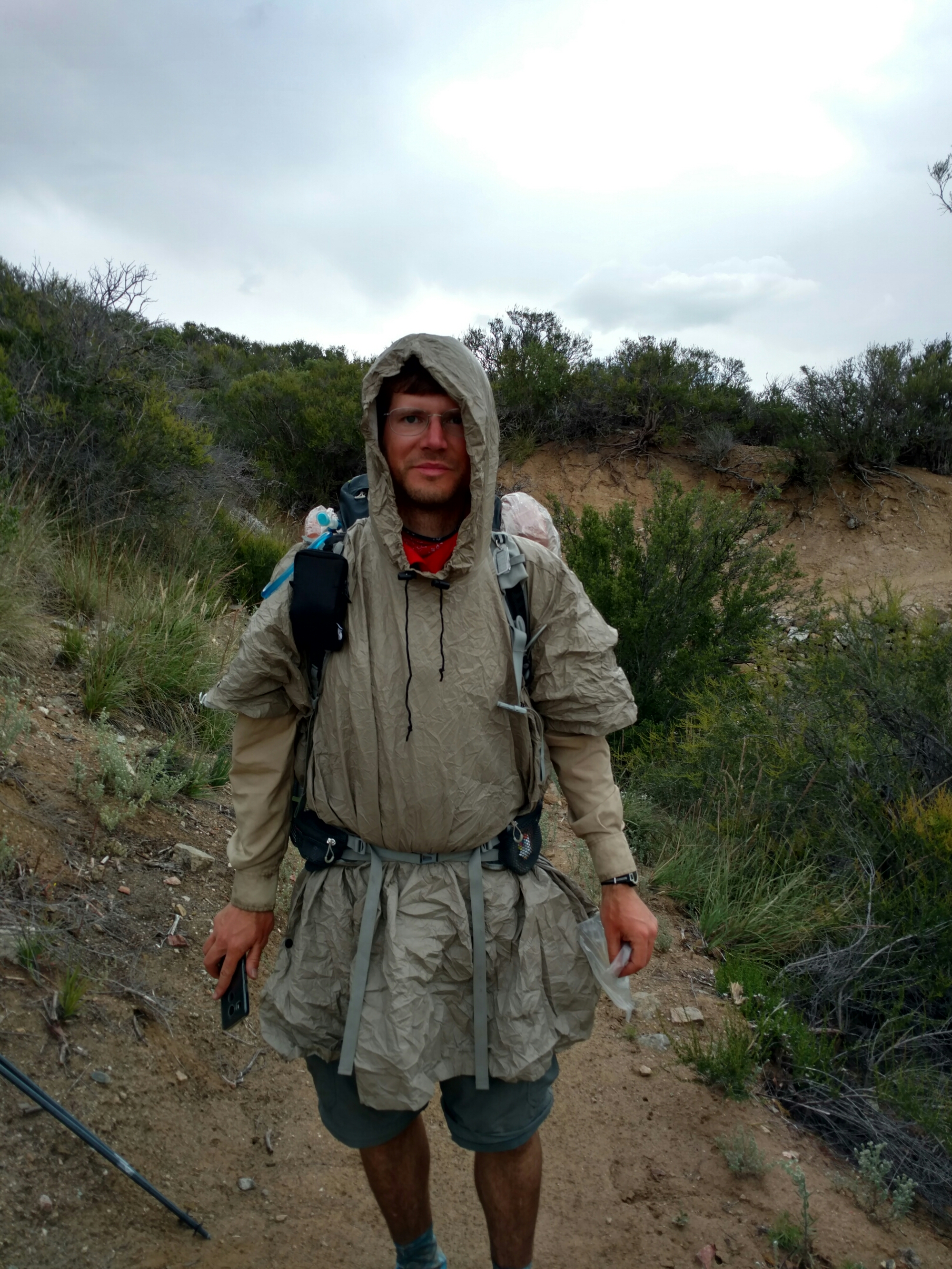
Gradually, a new problem began to occur: rain. First a few drops, then more and more. Then thunder, then hail. We put on our raingear, and continued on. We sheltered under a manzanita for the worst few minutes of hail, but the inclement weather ended soon, and soon after we were dry.
image
The latest in raingear fashion

We found a sheltered campsite near the summit, and set up camp, hurrying into bed to get out of the mountain cold.
image
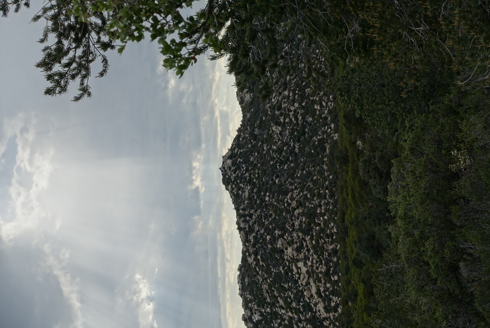
Sun shining through rainclouds
image
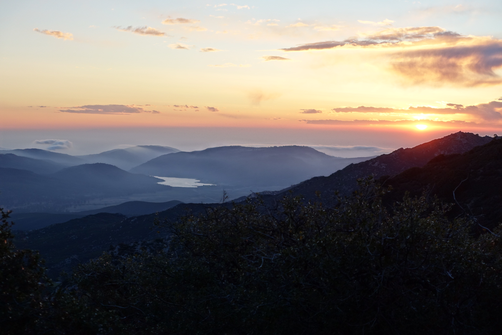
I brushed my teeth here

Glossary

My posts probably include some terms specific to long-distance hiking. A few are defined below. If you’re wondering about any others, leave a comment below and I’ll add it to the list.

I’ll be updating this post as I use more terms on the blog. Newer terms will be at the top.

JMT: John Muir Trail. A 220-or-so mile trail from Yosemite to Mt. Whitney. Most of it is on the PCT. I hiked it southbound in 2013. It took 13 days, and was my only long-distance backpacking trip before the PCT.

Postholing: When you step on weak snow, and your leg sinks deeply into the snow, usually a bit more than knee-deep. It can be hard to tell which areas of a snowfield are weak, so people often walk on strong snow carelessly and then suddenly hit a weak spot and posthole. This can be good for comic effect, in a slapstick way.

PCT: Pacific Crest Trail. A trail that more or less follows the crests of various mountain ranges from the US border with Mexico to the border with Canada. It is about 2650 miles long, and goes through California, Oregon, and Washington.

Thru-hiker: Somebody trying to hike a long-distance trail like the PCT from beginning to end.

Base Pack Weight: The weight of your backpack and it’s contents, excluding food, water, and fuel. Keeping this weight low is crucial to having a safe, fast, comfortable hike. 18 pounds is a typical starting weight for a first-time thru-hiker. 12 pounds is a good weight for a more experienced hiker.

Skin-Out Weight: Base Pack Weight plus everything you’re wearing.

Trail Town: A town near the trail at which thru-hikers are likely to resupply. On the PCT, it is typical to visit dozens of trail towns – you don’t carry all your food the whole way!

Hiker Box: In pursuit of low pack weight, thru-hikers often realize they don’t need a piece of equipment that’s in their pack. So, rather than throw it out, they put it in a hiker box, where another hiker can take it. Typically, local businesses in trail towns put out hiker boxes.

Zero: Staying in one place for a whole day, covering zero miles.

Nearo: Covering very few miles on a day – nearly a zero.

Creosote: A desert shrub that’s mostly twigs. I might be using it incorrectly sometimes to refer to similar-looking desert shrubs.

Fire Closure: Often, parts of the trail are closed due to damages from a fire. It is necessary to find an alternate route around them. There are at least 3 closures this year, and yes, this means I can’t hike the whole PCT.

Alternate: A route that branches from the PCT,  and then rejoins it later. They are used for purposes like avoiding a closure, or seeing a landmark.

Road Walking: Hiking alongside traffic, on a paved road. This is avoided whenever possible, because it is uncomfortable and dangerous. It is sometimes necessary when following an alternate or getting to a trail town.

Hiker-friendly: Some businesses in trail towns like hikers, and others don’t. A hiker-friendly business might do things like have a hiker box, do hiker laundry, fill up water bottles in the kitchen, or simply offer a discount.

Trail name: Thru-hikers are often known only by nicknames they acquired while hiking. This makes it easier to remember the names of the many strangers you meet on a thru-hike. It’s common to be named after a mistake you’ve made, e.g. if you pack way too many things, you might be called “Kitchen Sink”, for bringing everything but that.

Bushwhacking: Walking through an area that is not a trail. May or may not require pushing bushes out of the way.

Hiker hunger: The phenomenon that makes thru-hikers insatiably hungry. It also causes them to eat otherwise-unappealing food, like an entire Little Cesar’s cheese pizza, ravenously.

Section hiker: Somebody who’s hiking a portion of the PCT, but not the whole thing. This makes it possible to hike some of the PCT without quitting your job.

Cowboy camping: Sleeping without a tent. You put your sleeping bag and sleeping pad directly on your ground sheet, with the tent nowhere to be found.

CS###: A campsite at northbound mile ### on the PCT. Many campsites don’t have names, so they are identified by their mile number.

Agua Caliente Creek to Tule Springs – 5-16

Note: The date is wrong on some older posts. I’ll be fixing that later.

I woke up feeling feverish last night. I think I caught a cold having lunch on the golf course restaurant’s patio.

We rose out of the valley that contained Agua Caliente Creek, and found ourselves in high desert again, for many, many dry miles.

image
Nothing but creosote as far as the eye can see

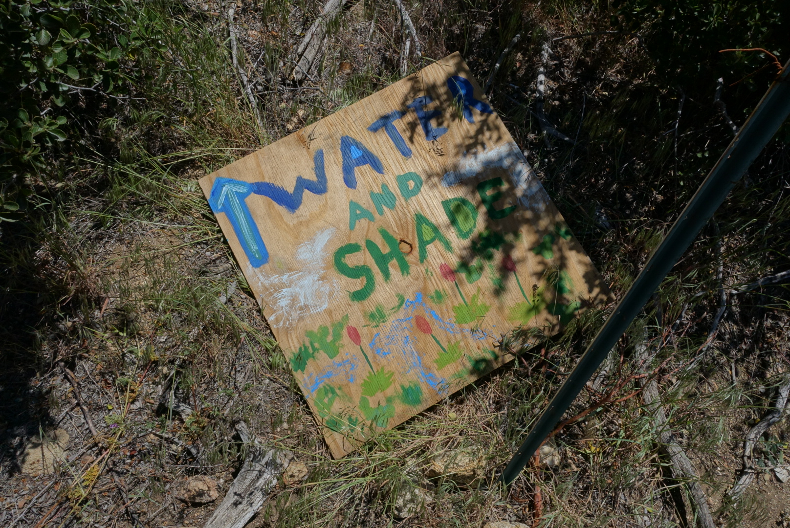
The only water in the area was a water tank belonging to someone who lived out here, and didn’t mind if hikers took his water. At the trail to his house, we found a sign promising not only water, but shade.

image
We like water and shade!
image
The water tanks were there as promised
image
A sign told us to go down to his yard to rest our feet
image
Kiosks?

When we walked in, a man in the kiosk above addressed us: “Welcome. We’re putting on some burgers in a bit. You want veggie patty or regular? And help yourself to anything in the cooler.”

All we were expecting was unpotable water from a tank, so this was a nice surprise. We placed our orders, and opened the cooler. It was stuffed full of Tecate.

As the burgers cooked, we sat down in a sun shade, and chatted with other hikers who were fleeing the sun and accepting the host’s hospitality. They ran the gamut from hippies to businessmen, young to old, but we all had a lot in common. We had the same concerns: water, sun, miles, etc. And we all wanted burgers, cold drinks, and shade.

The burgers were served. My veggie burger was just a patty with a slice of cheese in a bun. I put on ketchup, mustard, and mayonnaise, and took a bite. It was delicious.

Really, it was nothing special, just a frozen veggie patty. It was still a little frozen in the middle. But I was expecting to get dirty water from a tank, and instead was eating a burger in the shade. It was delicious.

We finished our burgers, and the chef walked over again. “Dessert”, he said, and handed us Otter Pops. They were even more delicious.

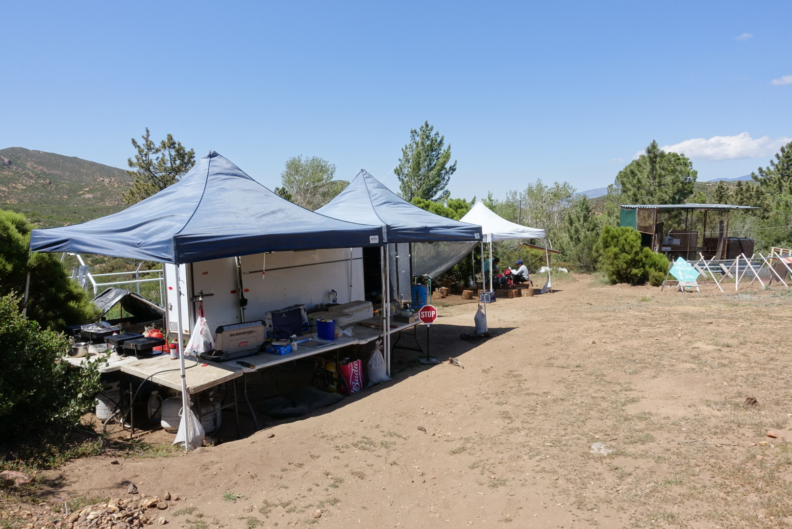
Apparently, the host has parties every night, but we still had miles to cover, so we headed out.

image
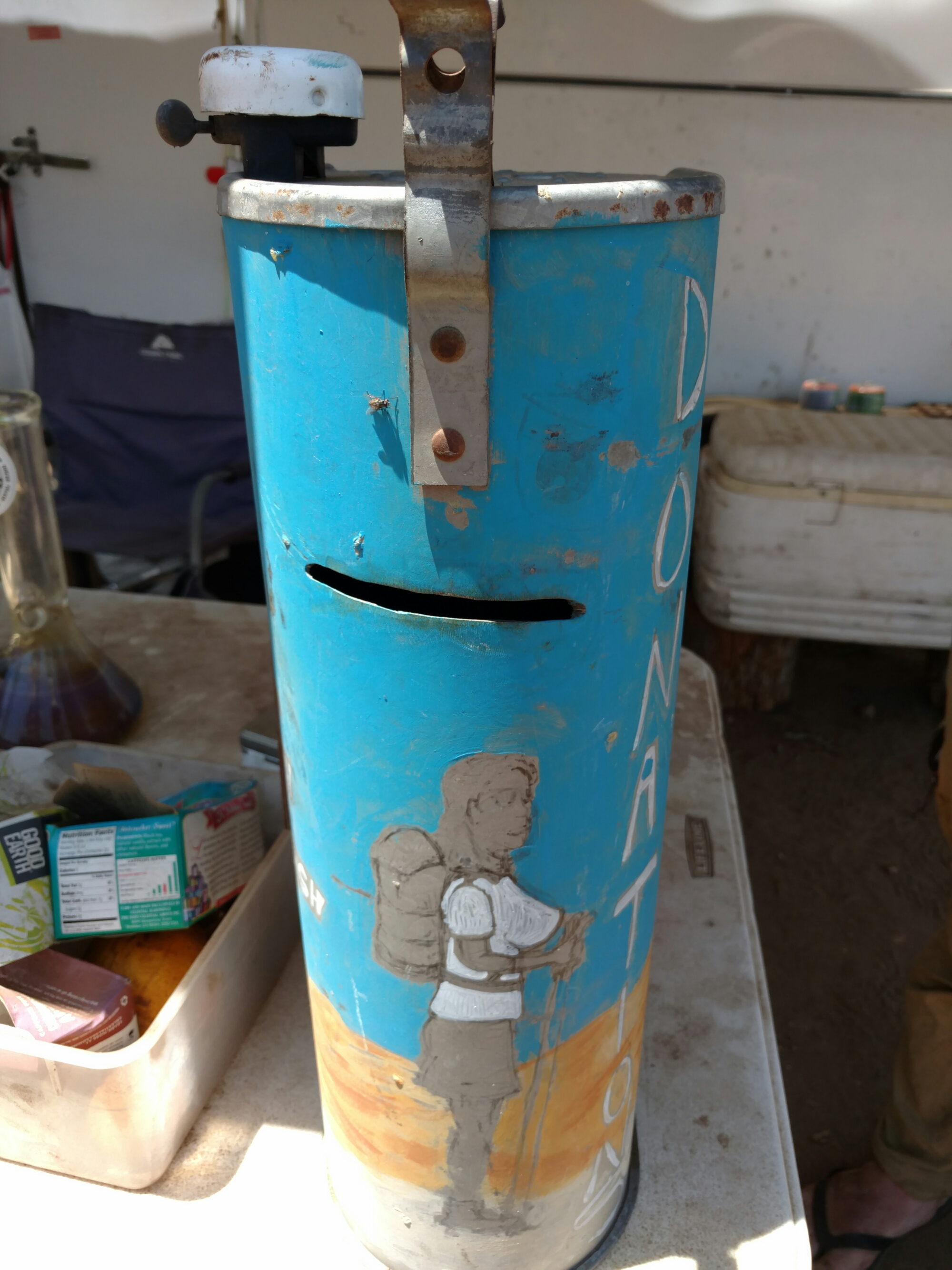
He takes donations to keep it running

We had learned that the next water was not nearly so far as we’d read. Contrary to the PCT Water Report, Tule Spring was running, and The Guzzler wasn’t empty.

image
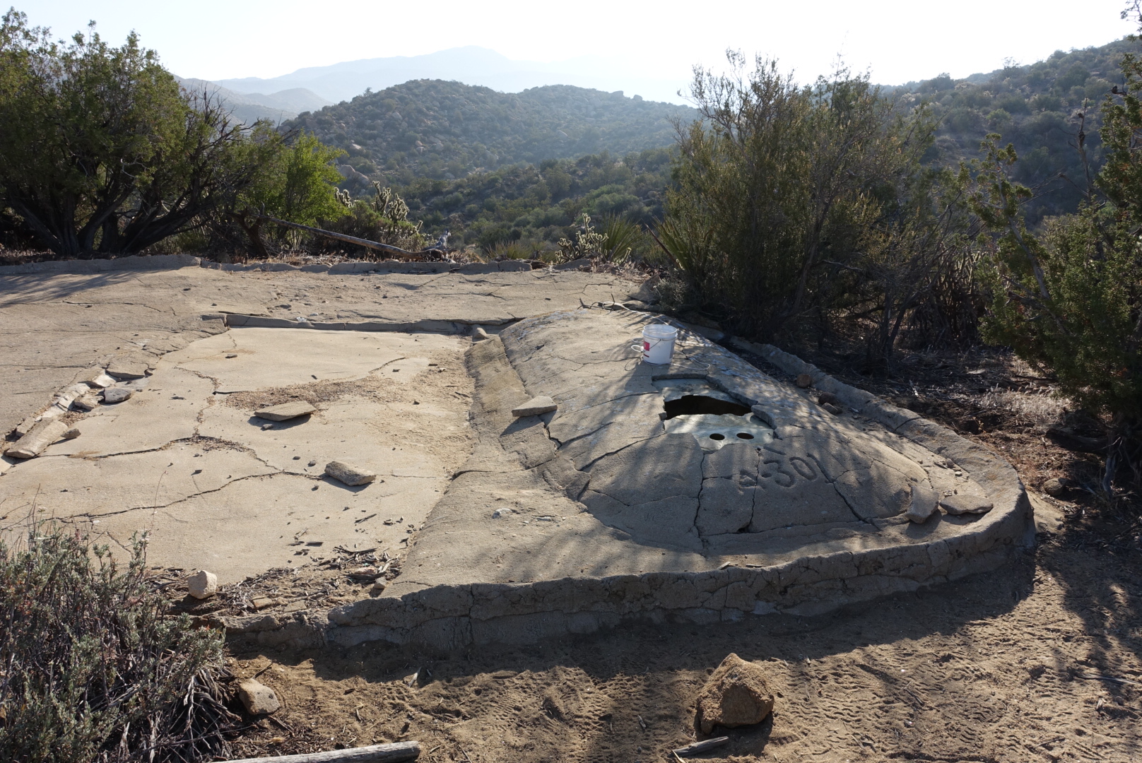
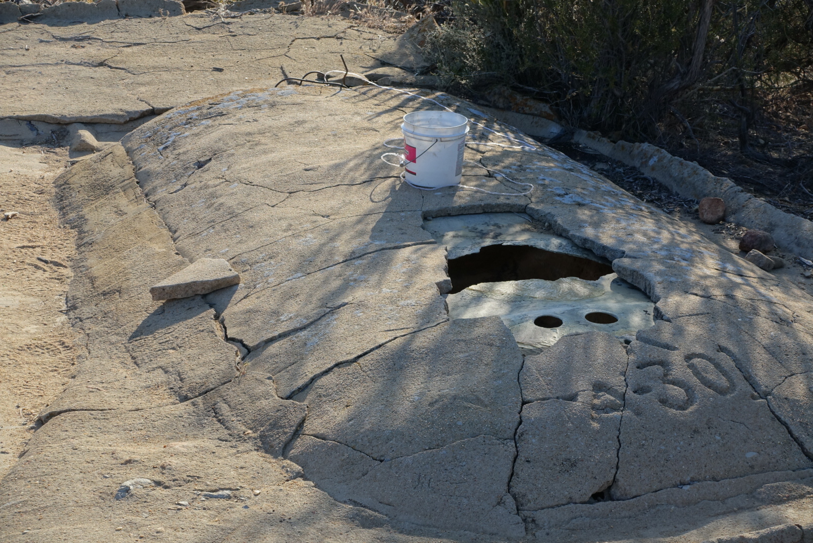
This is The Guzzler
image
I don't know what it is, but you can get water out of it with a bucket on a string.

We set up camp at Tule Spring, near another tent. Suddenly, agonized moaning started coming out of the tent. The woman inside, Andy, was treating her blisters. She’d had very bad luck with shoes.

Elizabeth looked at her blisters, and said they were the worst she’d ever seen. Andy couldn’t walk very well, and the way to the spring was tricky, so Elizabeth got her some water.

The next road is about 15 miles of desert hills. There’s no other way out. I don’t know how she’ll do.