Chilcoot Creek to CS1571 – 7-30

I woke up extra early this morning. My back was hurting. It seemed to hurt when I relaxed on my back — the moment I tensed up to move it would go away. Hopefully this doesn’t keep up — I liked being able to sleep!

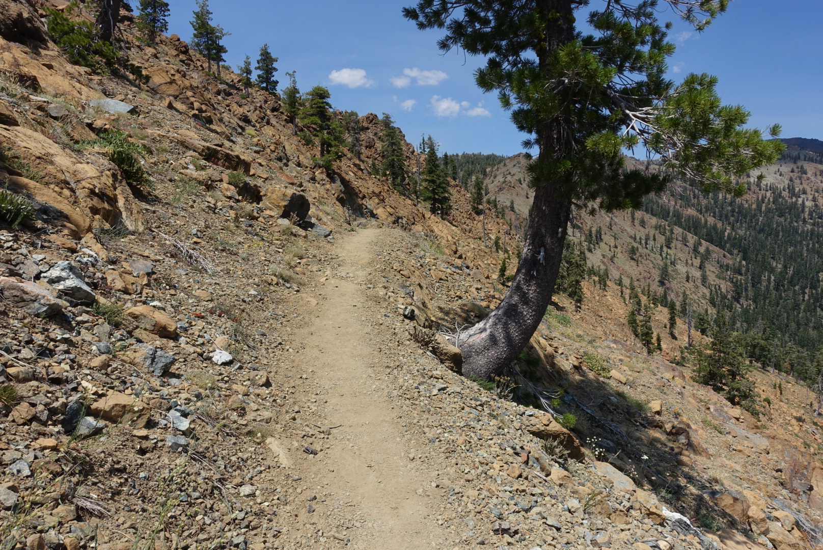
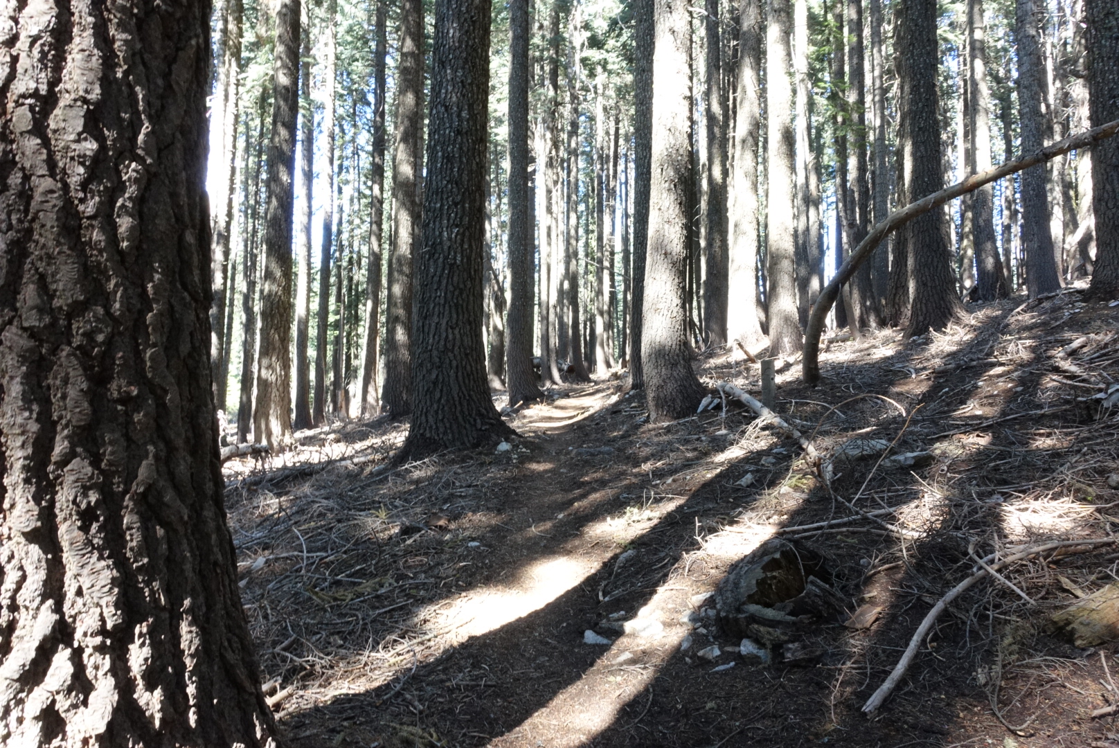
The day began with the same flat, boring terrain that characterized Northern California so far. We saw conifers, we saw rocks, we saw flat trail, we hiked over it.

image
If you look carefully, you can see the totally flat trail crossing the hill ahead. Also there are some conifers.

The highlight of the morning was seeing a rattlesnake. It rattled at us, and we walked by. Oddly enough, we’ve now seen more rattlesnakes in Northern California than we saw in the Southern California desert.

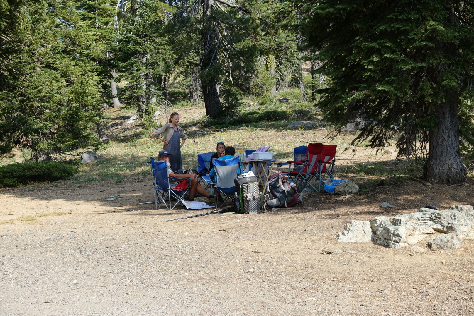
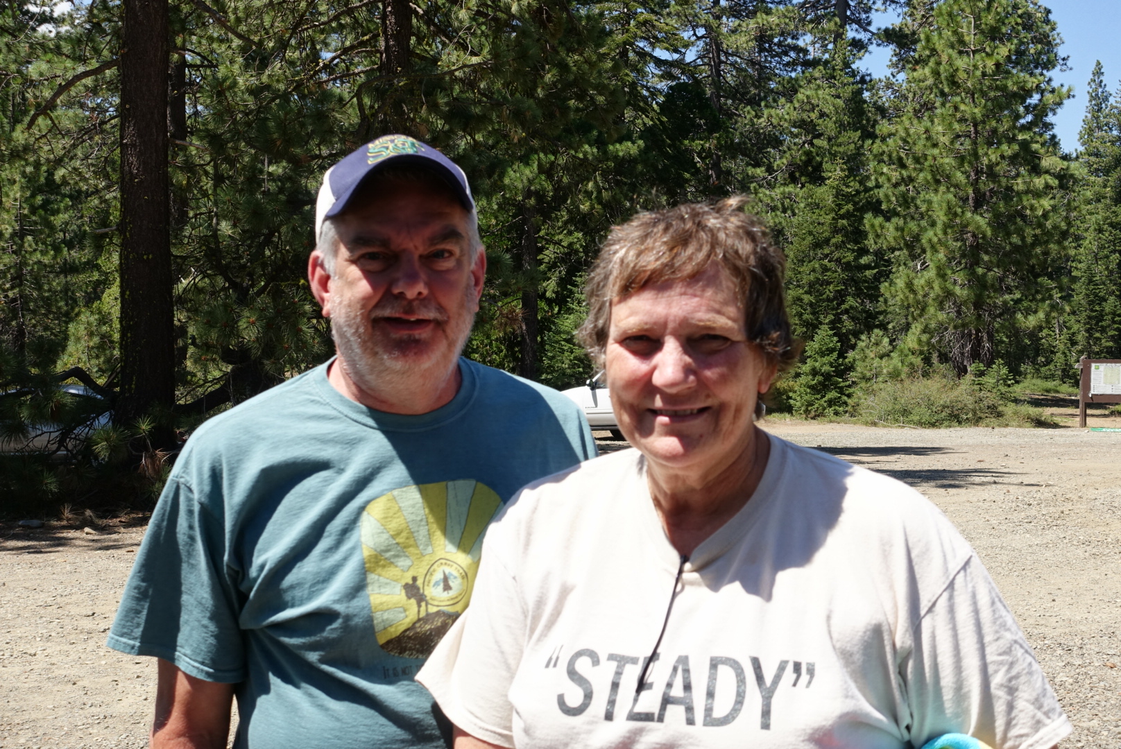
After a seemingly endless slog (actually about 14 miles), we got to a parking lot on Highway 3, and were welcomed by a couple of trail angels, John and Steady. Steady had done the PCT in 2003 – ancient history in PCT terms. There are probably 10 times as many people hiking this year than in 2003. They gave us soda, snacks, and candy, and we chatted about the PCT, past, present, and future. Hostess Sno Balls were apparently the snack of choice that year, and they handed then out. I didn’t get the appeal — it was like a tiny cupcake enshrouded in a thick layer of styrofoam — but perhaps food technology had advanced light years since then…
image
Steady managed to hike with a group of 4 for the majority of the hike

After lunch, we thanked them for their kindness, and headed up out of the parking lot, back into the Northern California doldrums.

image
Trees on a slope, with a flat trail -- welcome to Northern California

Soon, however, we crossed a boundary line that was good news.

image
No Shasta leylines involved

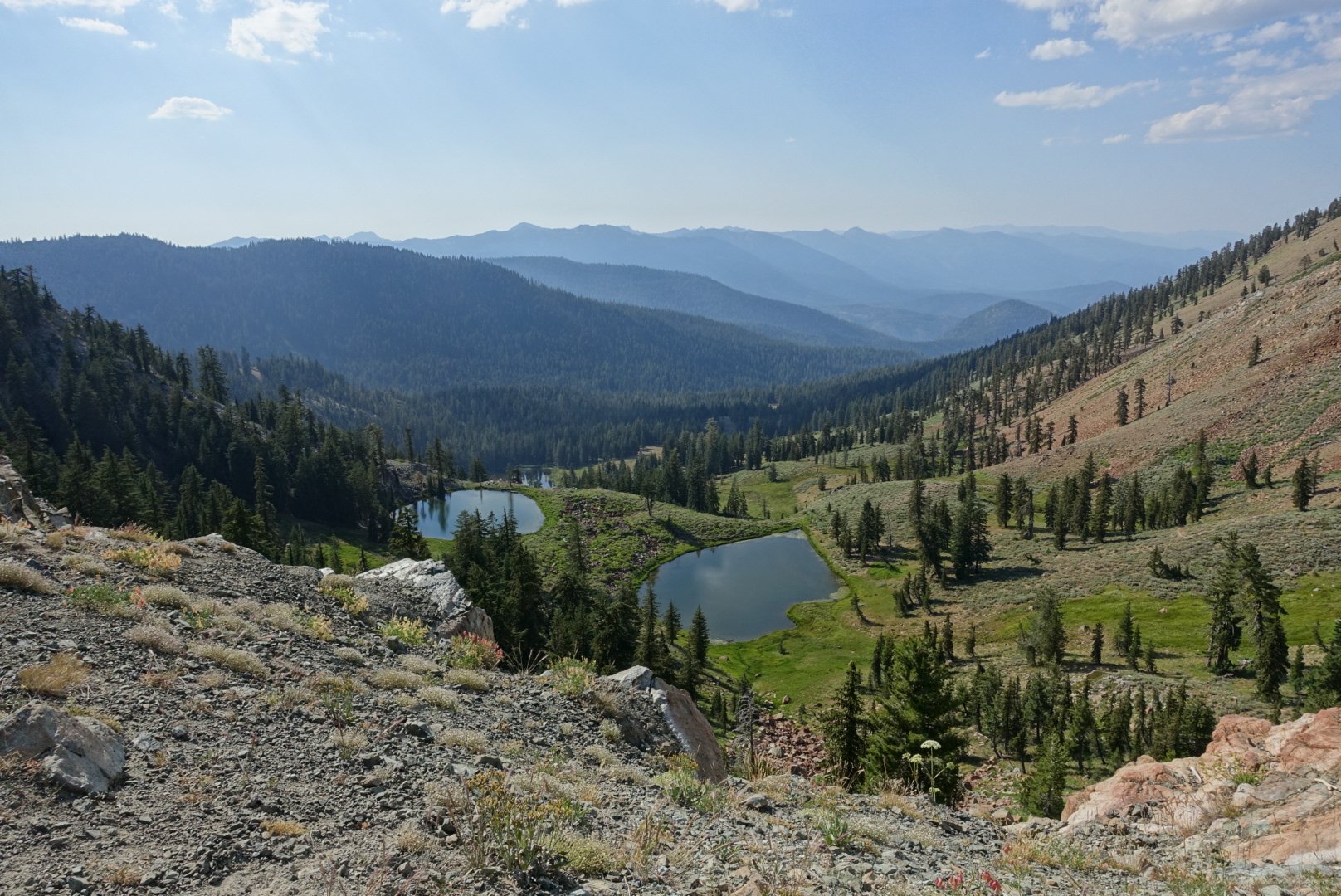
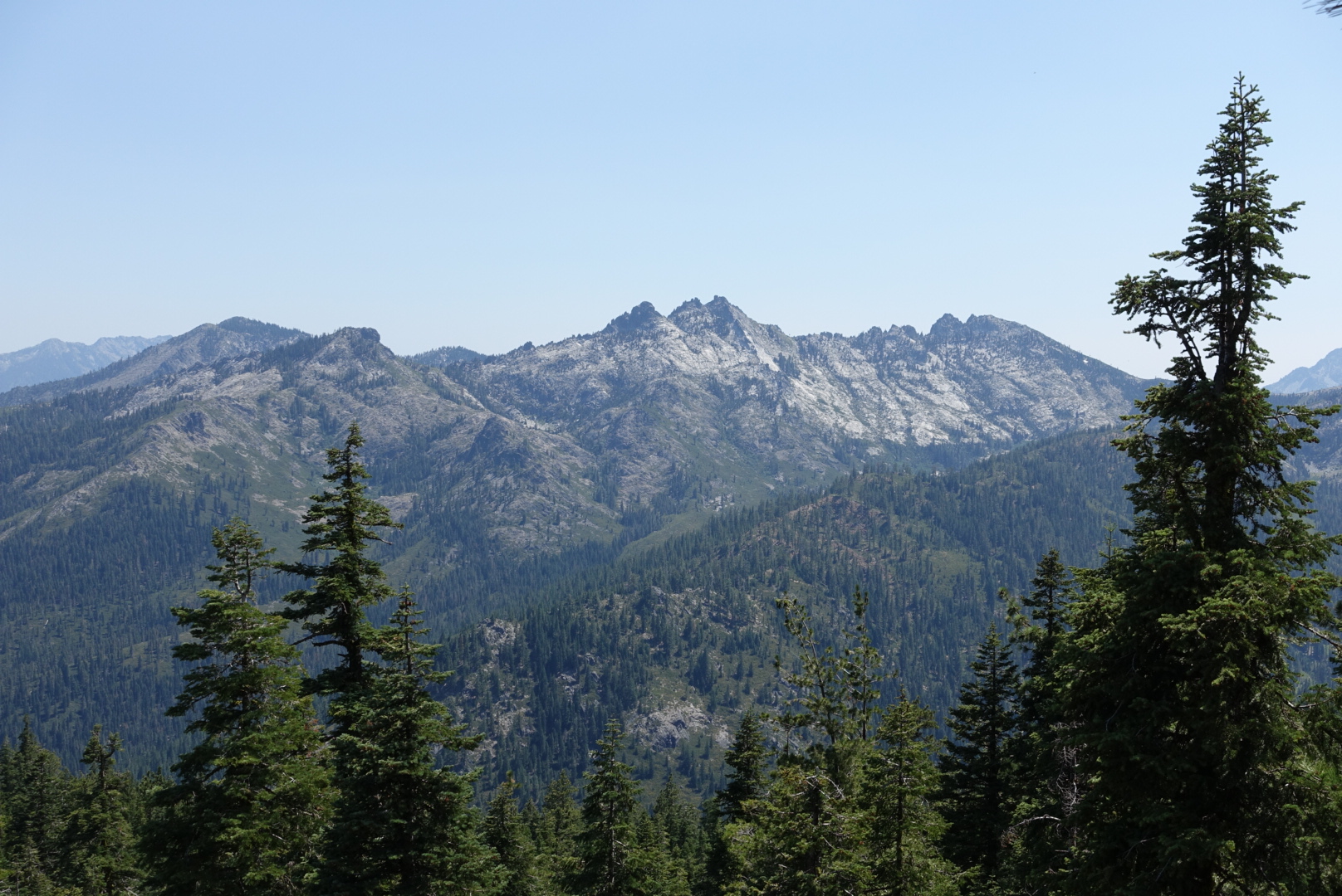
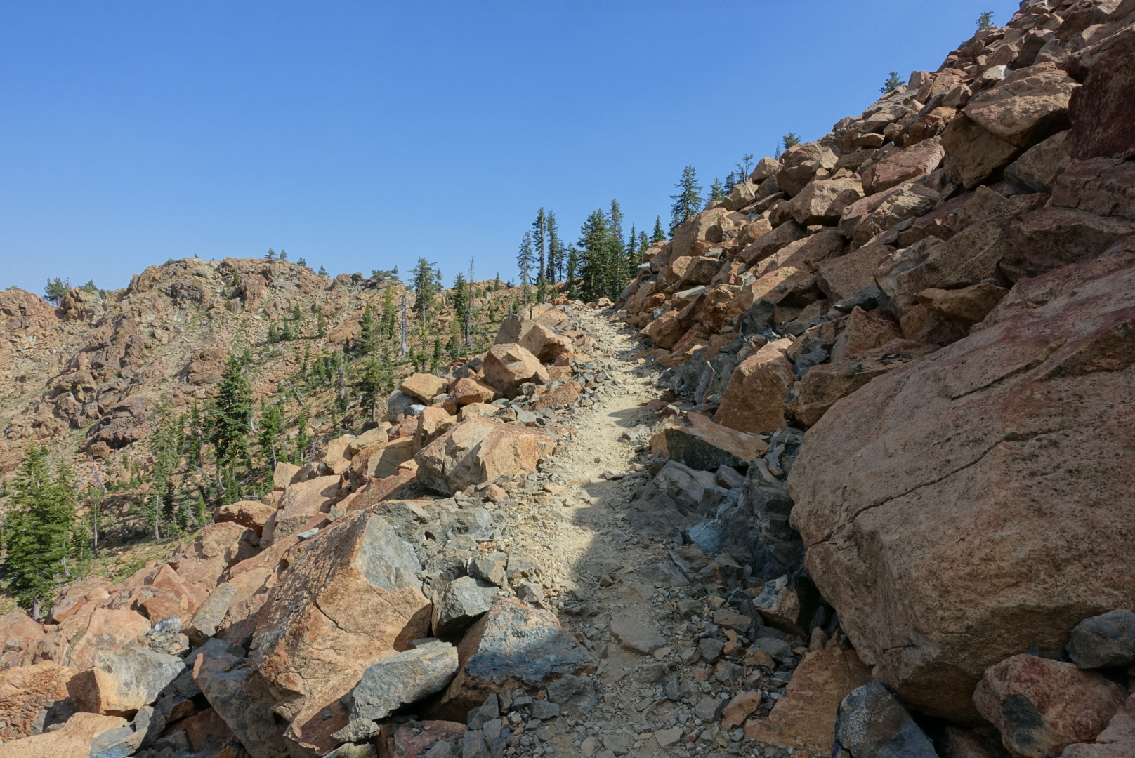
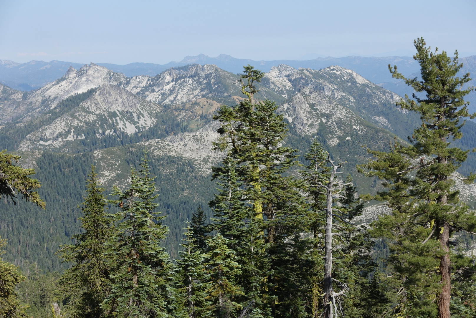
The Trinity Alps are known for being a beautiful, lesser-known part of the trail.

They started to pay off quite quickly.

image

image
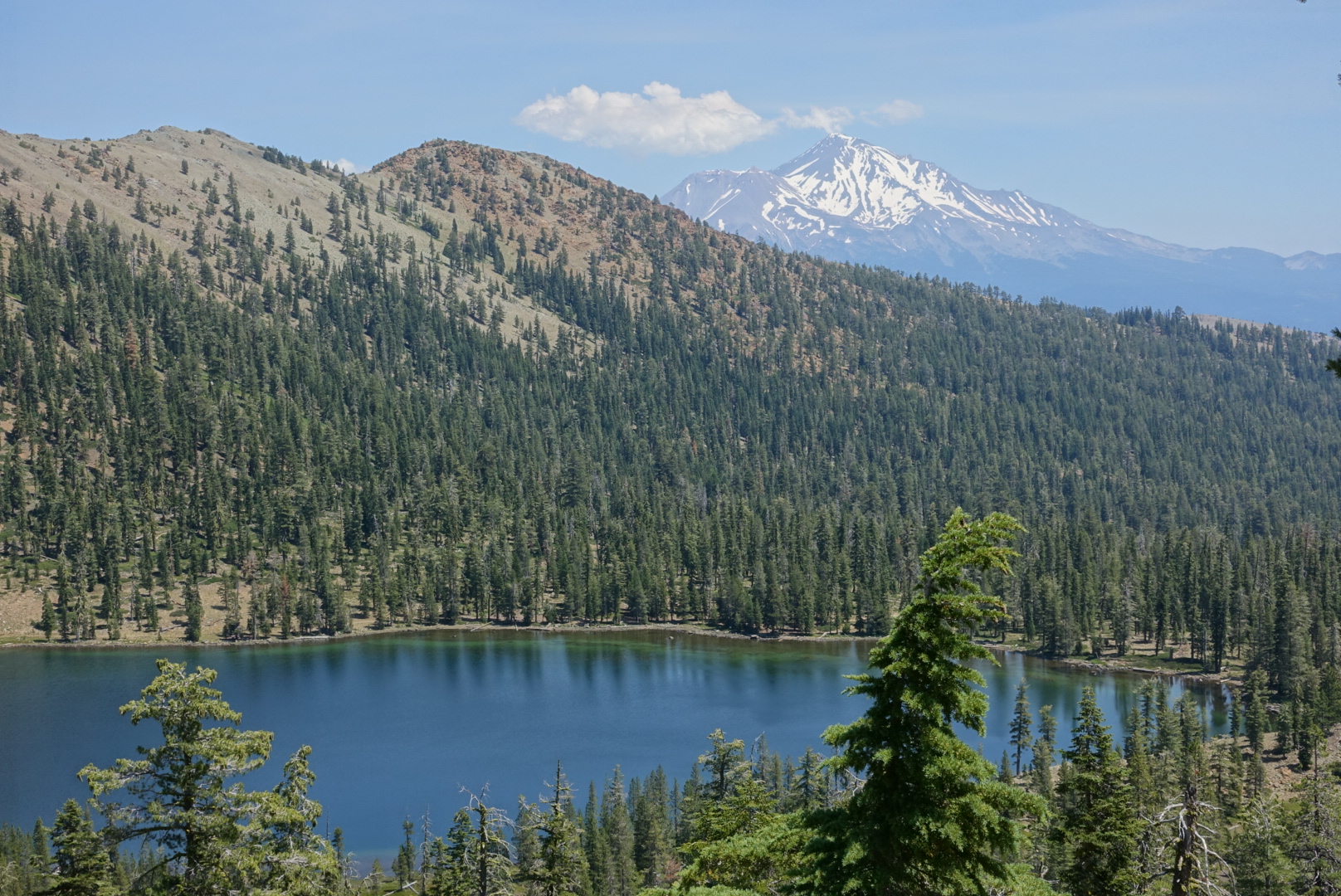
Maybe our last chance to see Shasta?

image

image

image
I bet there's a great view up by that post
image
Yep
image
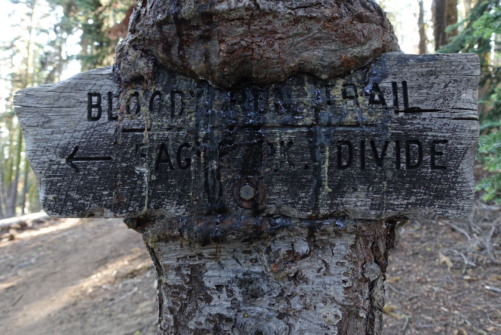
Even the trail name are more interesting --there must be a backstoty to that first trail's name

image

image

image
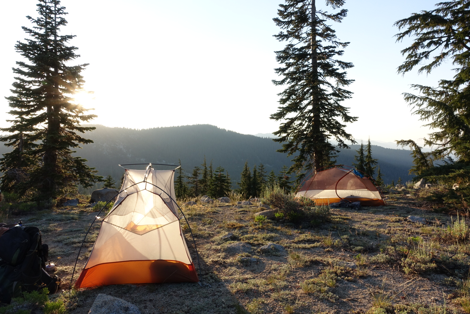
A sunset to brush teeth by

CS1519 to Chilcoot Creek – 7-29

The sunrise struck my tent early, forcing me out of bed. I was still sleepy. After the terrible night in Castella, and all the town tasks I had to attend to in Mt. Shasta City, I was overtired.

We left camp early in the day, around 7:15, and it was already heating up. Our first task of the day was to get water at an off trail spring (Bradens Spring), which was good because I was out of water.

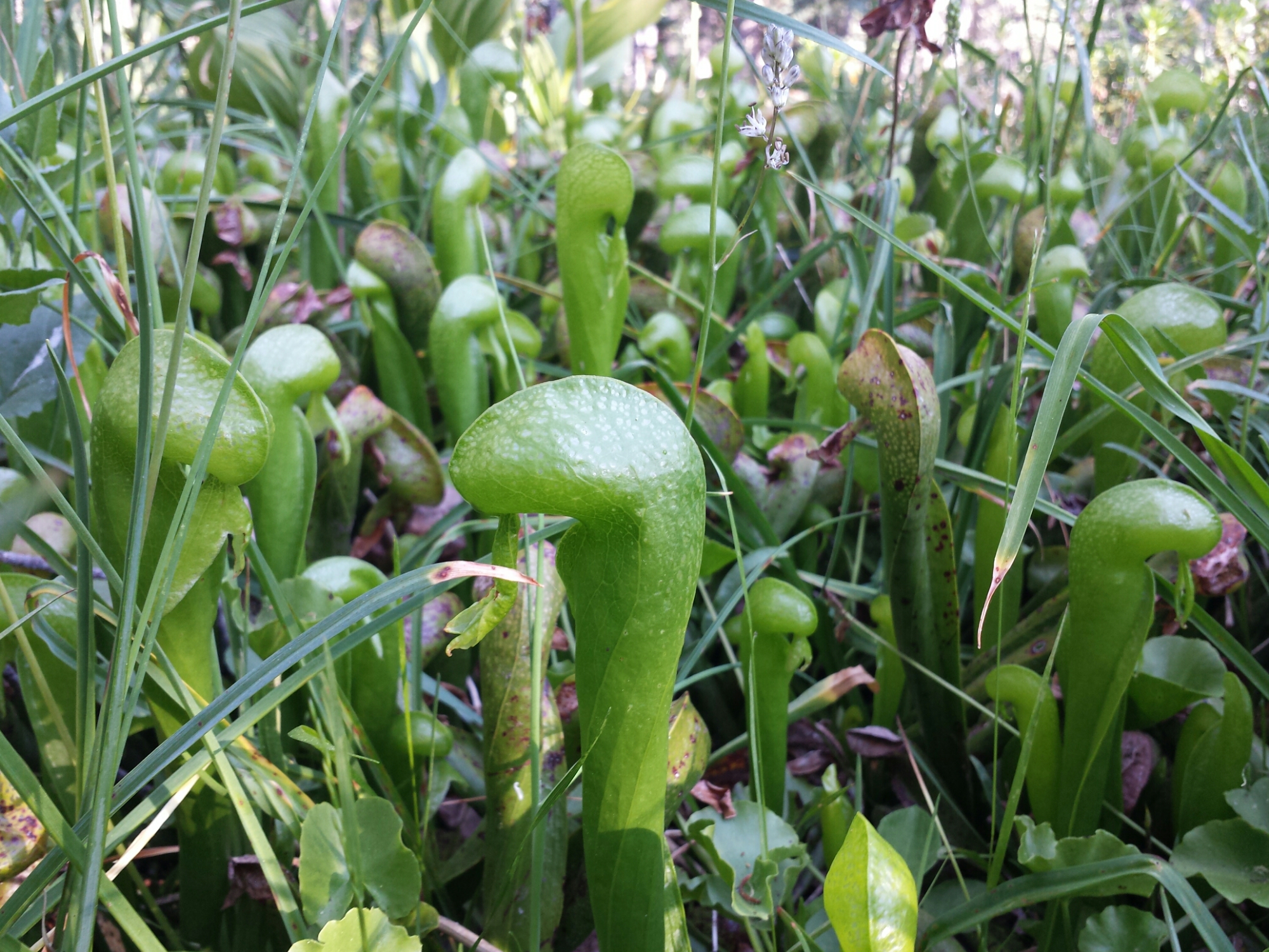
The spring itself was nice. A shady, cool wooded area with pools of water and a slight flow. I was surprised to see pitcher plants growing next to it — I thought they didn’t exist in North America.

image
The California Pitcher Plant

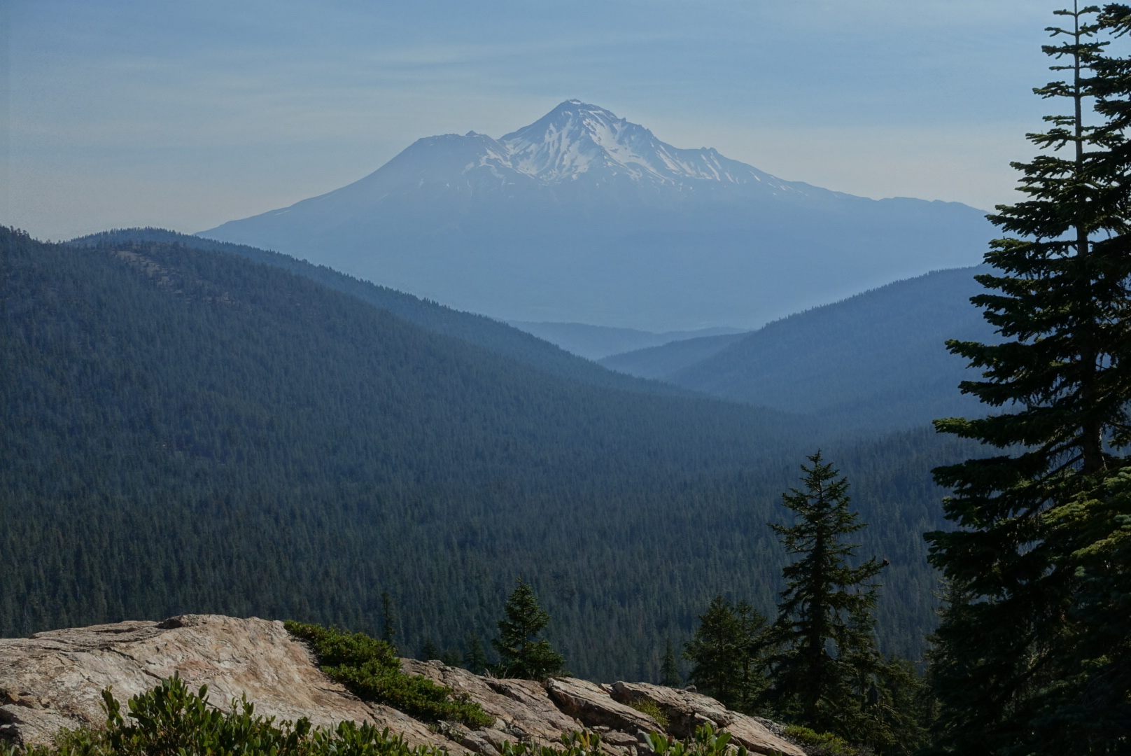
Full of water, we returned to the trail (and the heat) and continued on. The trail takes a large westward detour in northern California just past Shasta, so we wouldn’t be getting any more good views of it after about today (a Lemurian plot, perhaps?)

image
The trail and Shasta. Never the twain shall meet.
image
Shasta, namesake of so many cans of soda

The heat suddenly lessened as we crossed a ridge, and it became clear that today’s weather would not be a repeat of yesterday’s.

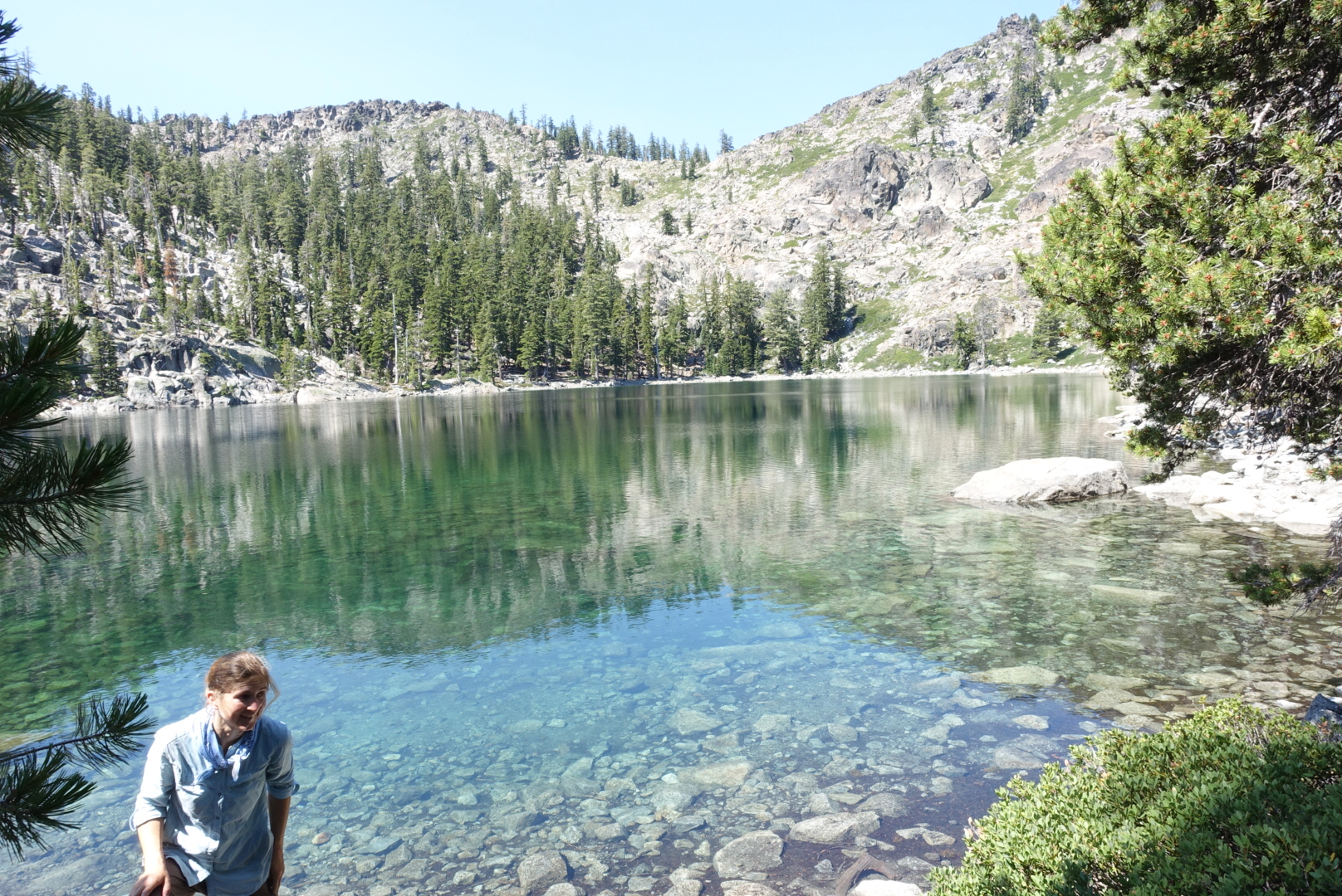
We had lunch at an off-trail waypoint called Porcupine Lake. The water was clear and cool, and there was plenty of shade and rocks to sit on.

image
Porcupine Lake. What it lacks in porcupines, it makes up for in clarity.

We got back on the trail, and continued onward.

image
Shasta, retreating further
image
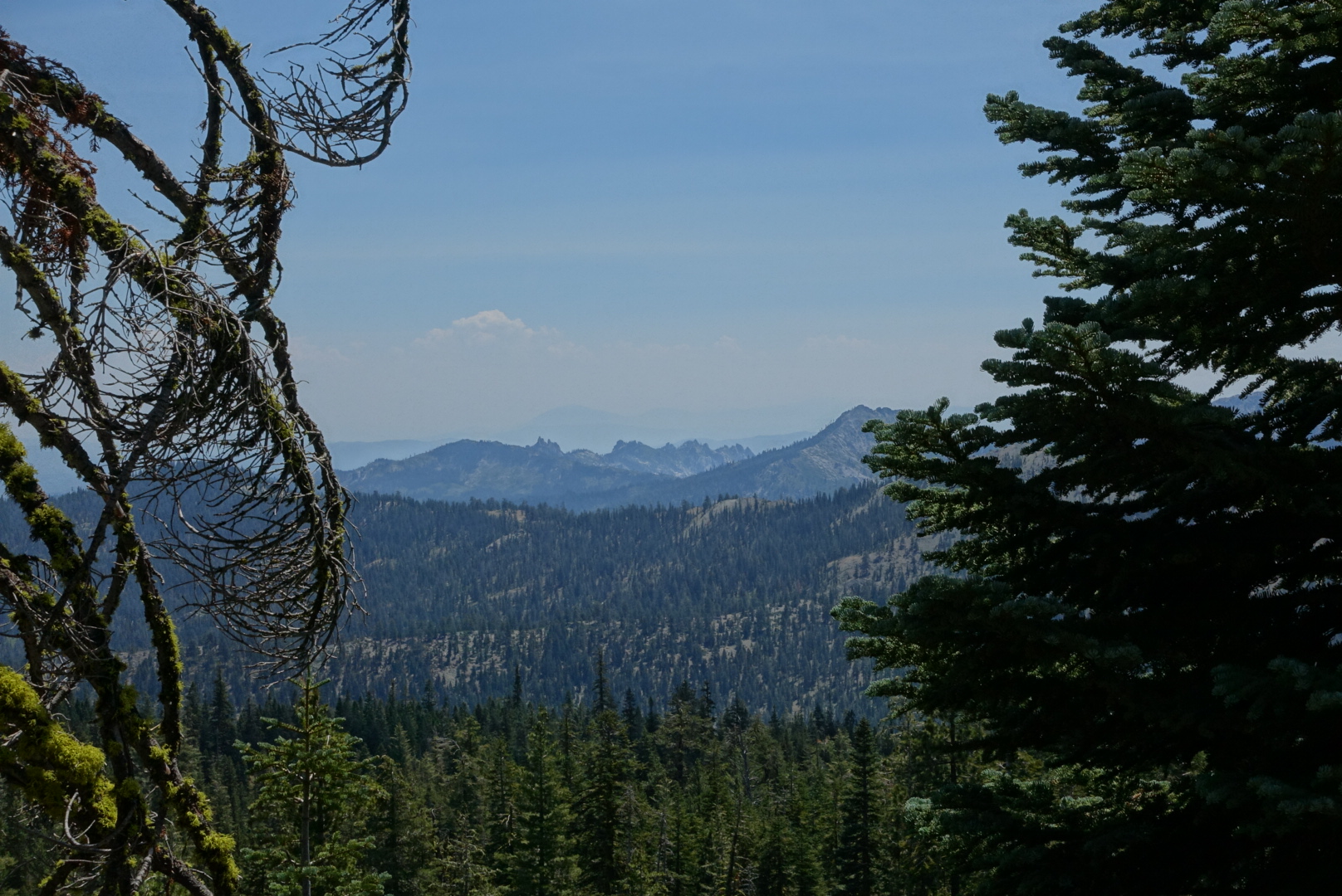
A last, distant view of Castle Crags
image
The exposed, but not too terribly hot, trail
image
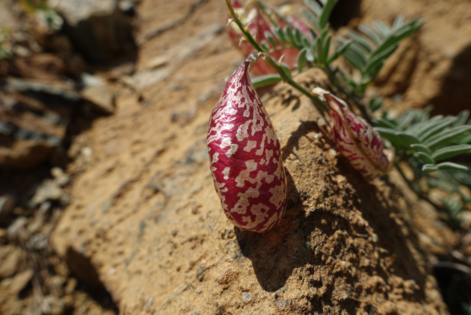
A plant with little air bags hanging off its stalks was profuse here

We neared a trailhead with a parking lot, and a familiar sign appeared: “Coppertone is Here”. After a root beer float and a chat, I was ready for a nap. But that would make 2 short days in a row, so we pushed on.

image
Leaving Coppertone
image
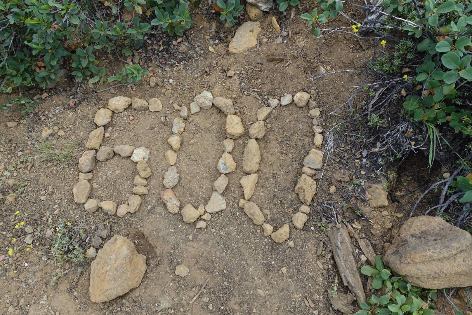
We puzzled over this a bit. I think it's a slightly misplaced monument saying "600 miles to Bridge of the Gods"

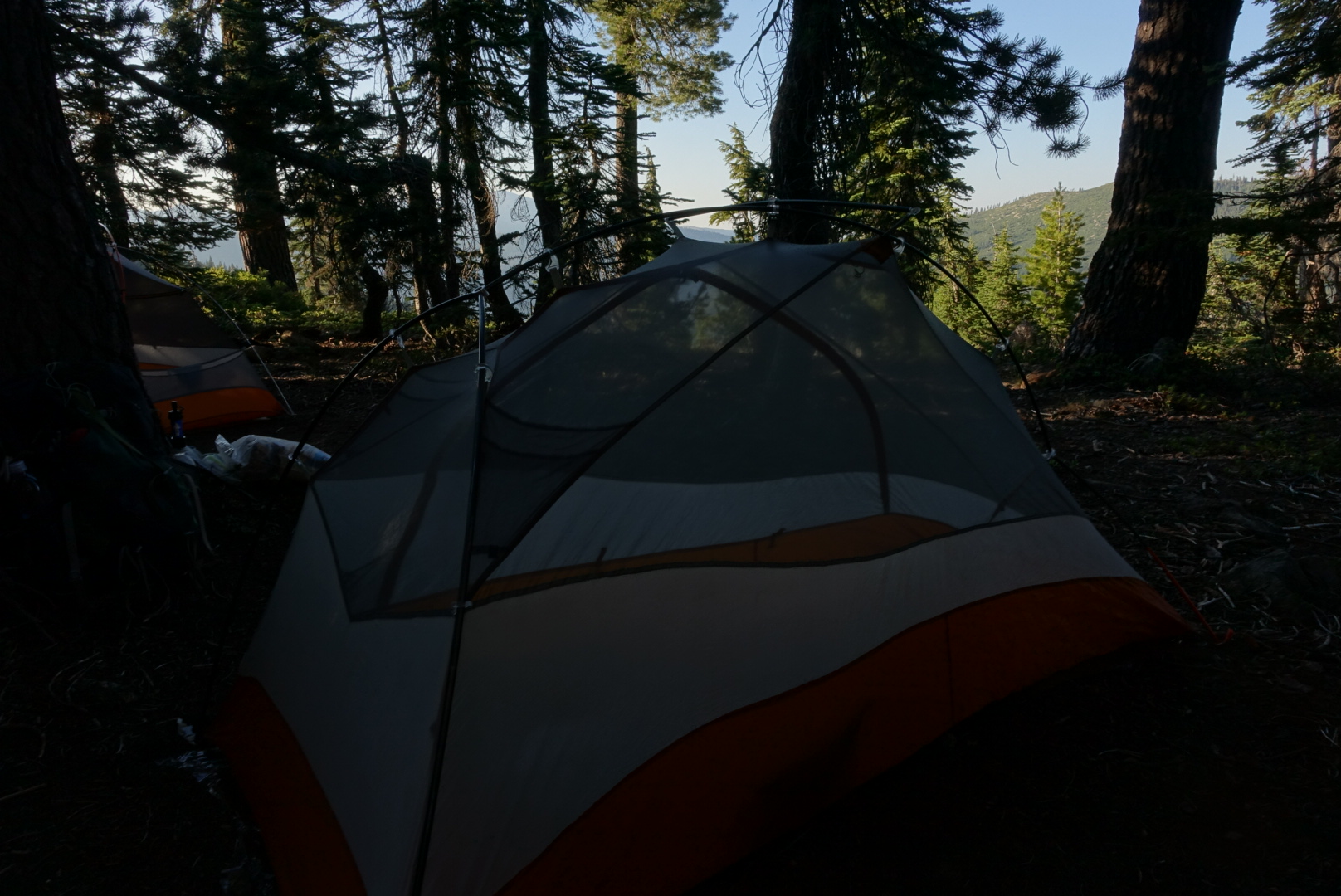
We set up in the last tentsite before a non-campable stretch. It was busy and there were bugs, but we got to sleep.

image

Mt. Shasta City to CS1519 – 7-28

Mt Shasta City was nice. A bit like a cross between Carmel and Berkeley, with the addition of Lemurians, leylines, crystals, and the fans thereof. It’s the kind of town where they have good coffee, beer, and outdoor outfitters, but also shops advertising something called “The 13th Mayan Skull”.

image
The view while doing laundry at the laundromat

I got a phone here, but not phone service, so I can install all my navigation apps, and use them in offline mode. This is the mode you’re normally in on the trail, so the lack of phone service is not as much of a problem as you might guess.

We also had lunch at the brewery in Dunsmuir, where I had a tuna melt that surprised me by being an excellent ahi steak sandwich with melted cheese, instead of the mush of canned tuna and mayonnaise that I expect when I order a tuna melt. They also served baby pickles that were sweet and crunchy, and I’ve been thinking about them since. The beer, on the other hand, was forgettable, except that they brought out the sampler cups in muffin pans.

When it came time to get back on the trail, we went under Highway 5, and immediately took a wrong turn up a dusty hill, so steep I had to crawl with my town-clean hands. After realizing there was no trail at the top and heading back down, we made our way up the PCT proper, and soon found ourselves at the 1500-mile marker.

image
Big miles, little monument

Something about the 1500-mile marker made it seem more feasible to finish the whole thing. We were finishing big chunks of the total PCT mileage — we just needed to knock out a few more.

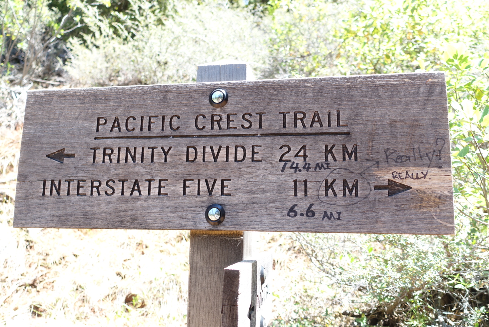
This part of the trail was unusual, however. First, it contained the only park sign I’ve seen so far that was only in kilometers.

image
Not sure how many KM to Canada

It was also unusual in that it was very steep and exposed, and the temperature was the same as when we crossed the Mojave on the aqueduct walk. But there were no Sno-Cones in sight, this time. Not much water, either.

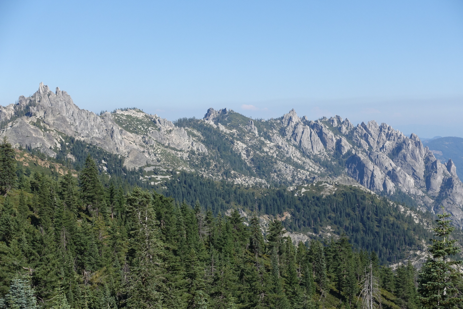
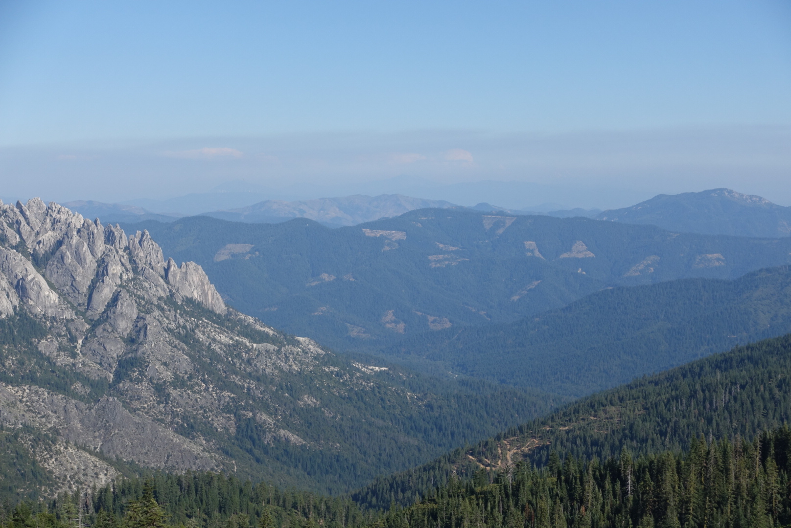
But, the climb very gradually exposed us to the Castle Crags.

image
Crags
image
And the clearcut regions right next to it
image
After the hot uphill, I was delighted to see this boring stretch of tree tunnel, because it had shade
image
The sign says what you think it says

image