CS1660 to CS1685B – 8-4

Today was a simple day. We got up, we walked, we camped. There was some eating and water-gathering in between, but nothing too complicated.

I realized this morning that I’d miscounted meals when resupplying in Seiad Valley. No wonder my food bag was so light — I was missing a dinner and breakfast. But, so long as I can stomach eating peanut butter and Nutella by the sporkful, I’ll only be a little hungry on the way to Ashland.

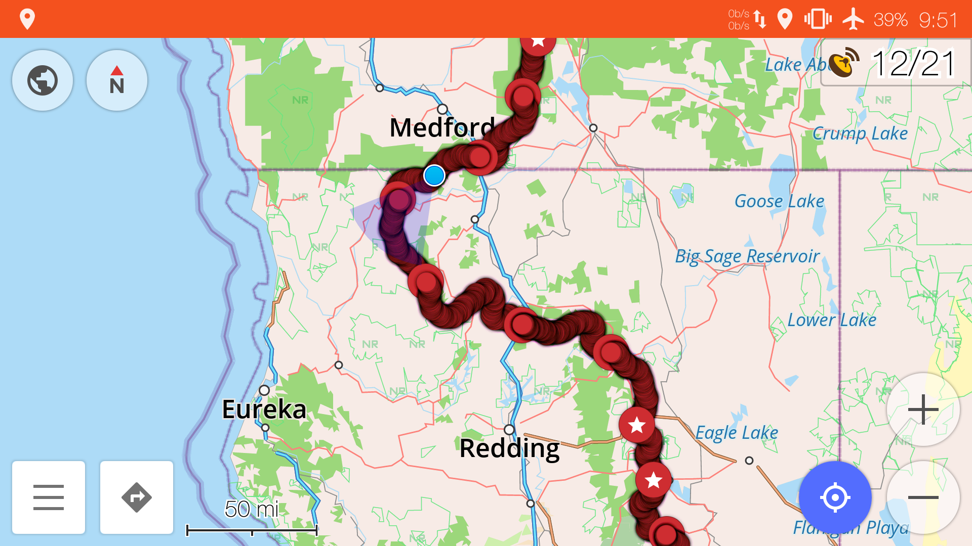
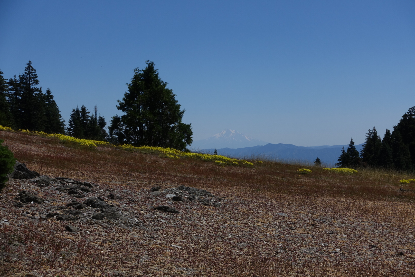
I’d like to make a point about Mt. Shasta. You can see it from really, really far away. I realize that it’s big, but look at this map:
image
Map of the PCT in Northern California and Southern Oregon

The red line is the PCT. See how the PCT takes a big turn westward near the end of California, and goes halfway across the state? Shasta is just north of the PCT at a point a little after it turns west.

The blue dot near the California/Oregon border is where I am now. We’ve been seeing Shasta on and off for the entire detour. Mt. Shasta is big, but I never thought I’d see it across half the state.
image
Shasta. It's still there. And would make a good curse word.

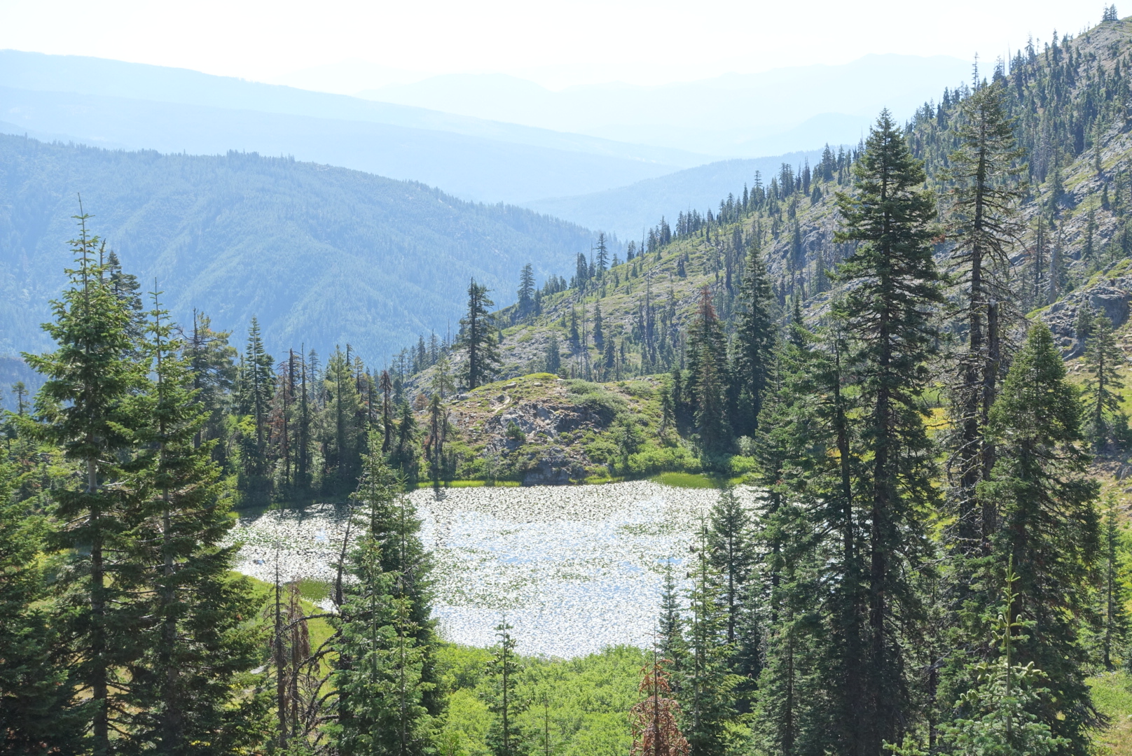
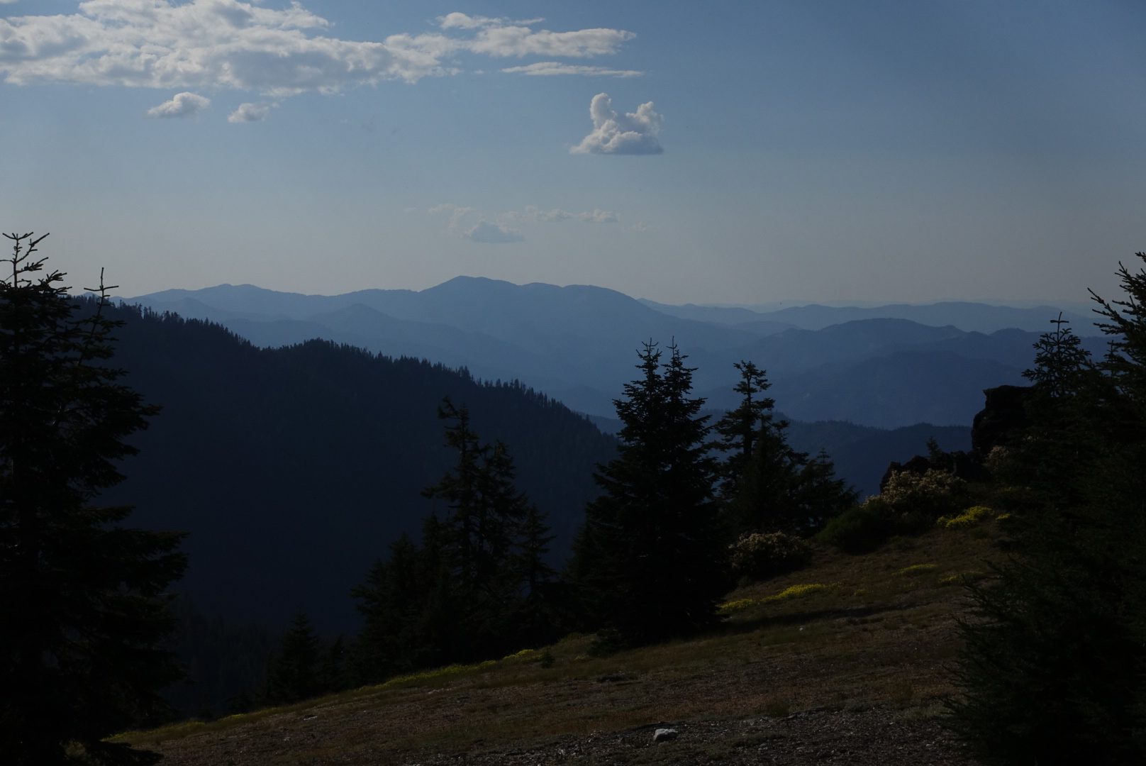
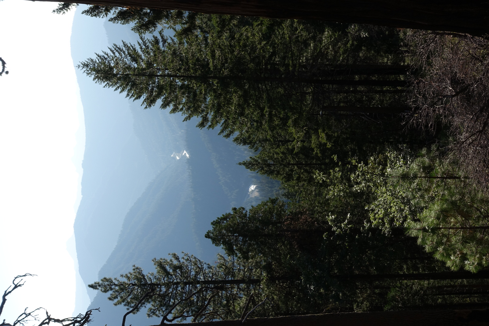
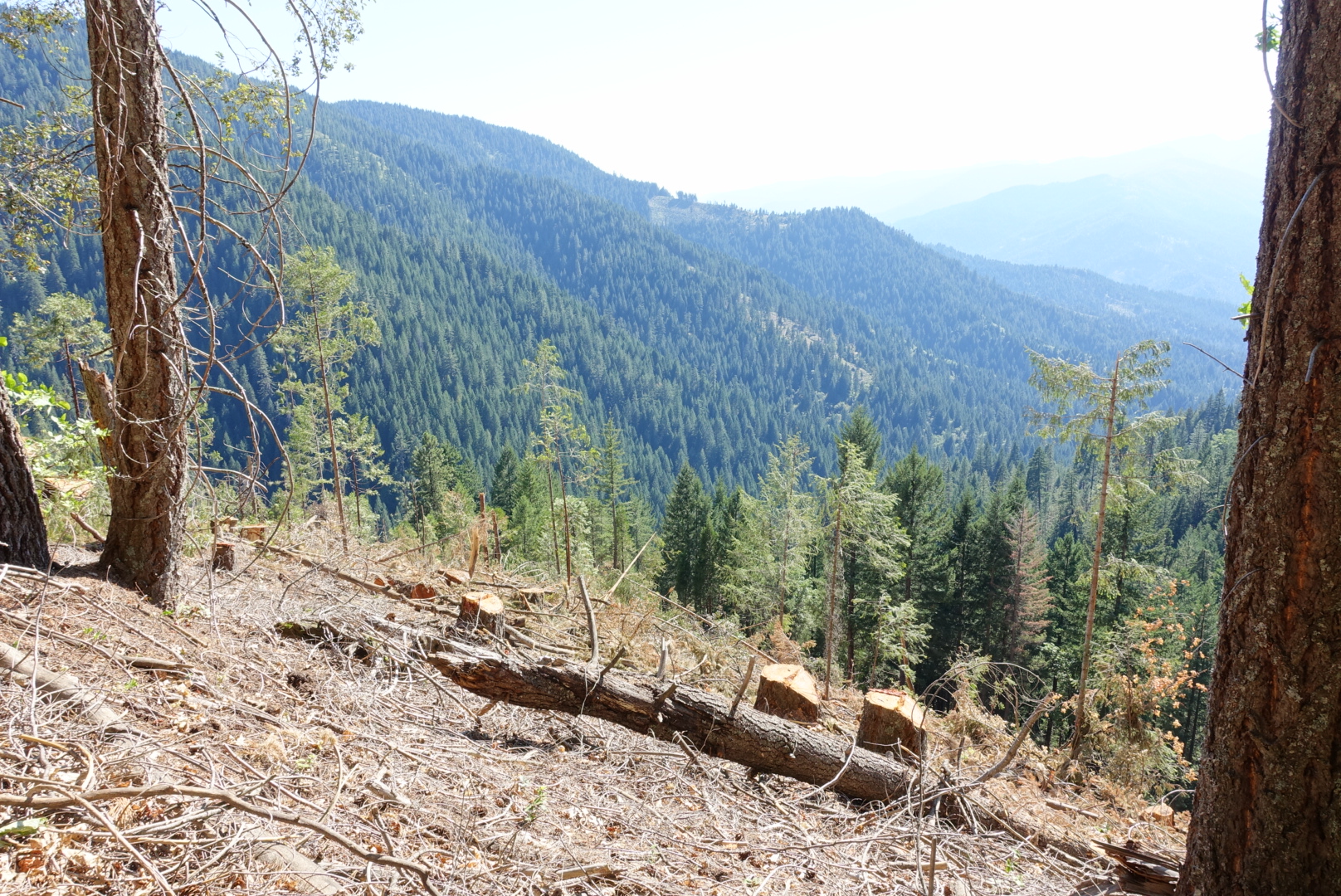
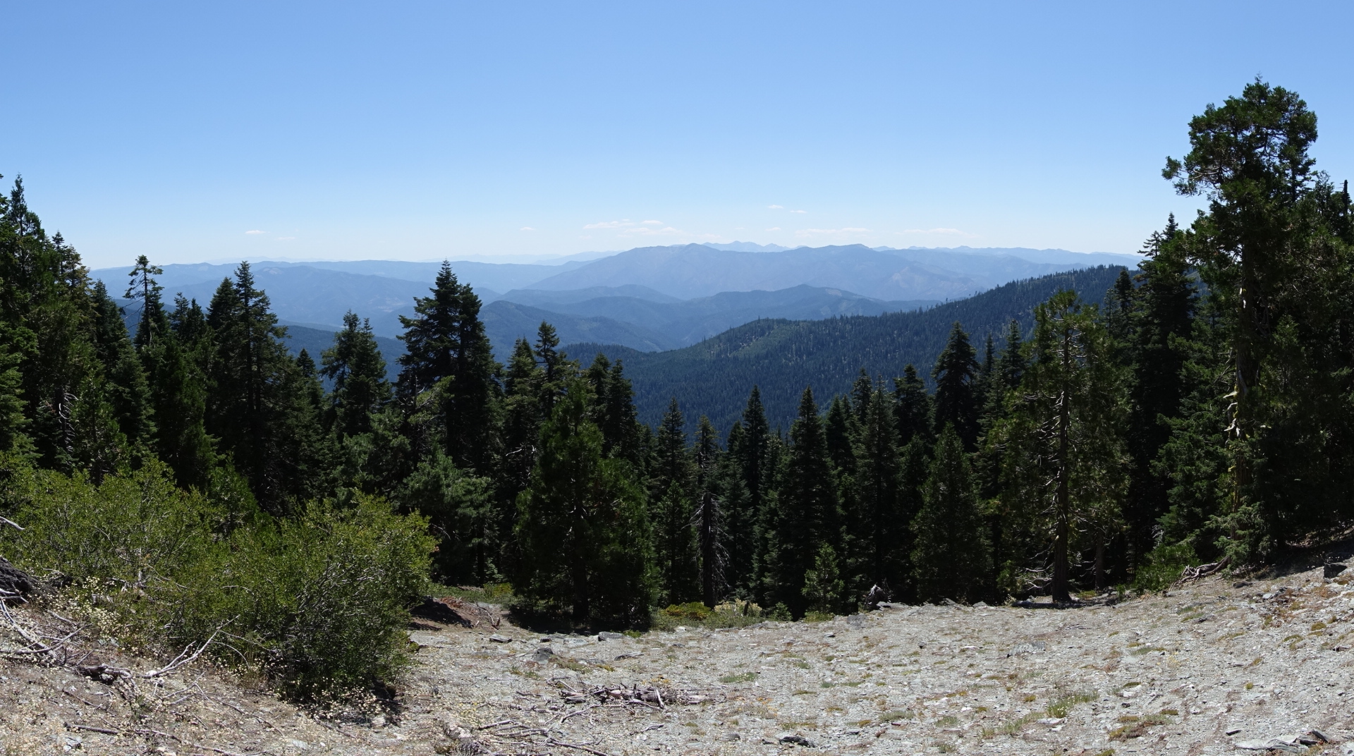
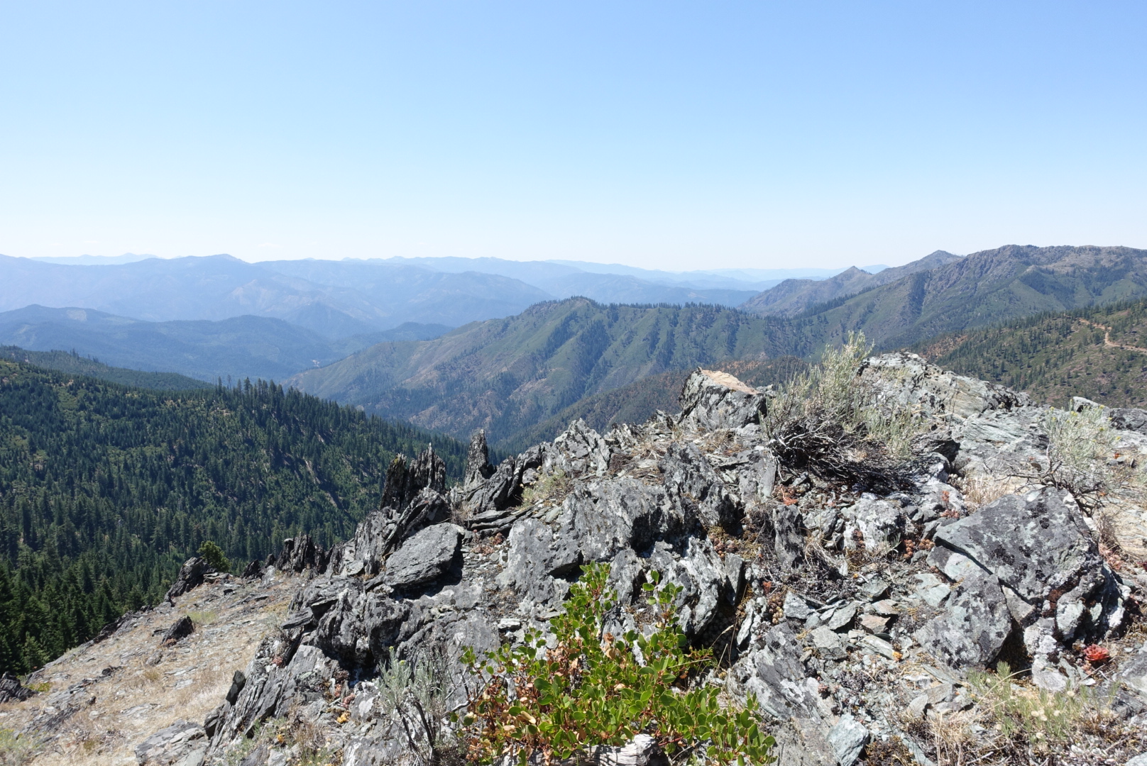
Aside from Shasta, there were many vistas on this section of the trail.
image
An extremely rare picture of Northern California that does not include Mt. Shasta
image
Light shining off hundreds of lily pads

image

image

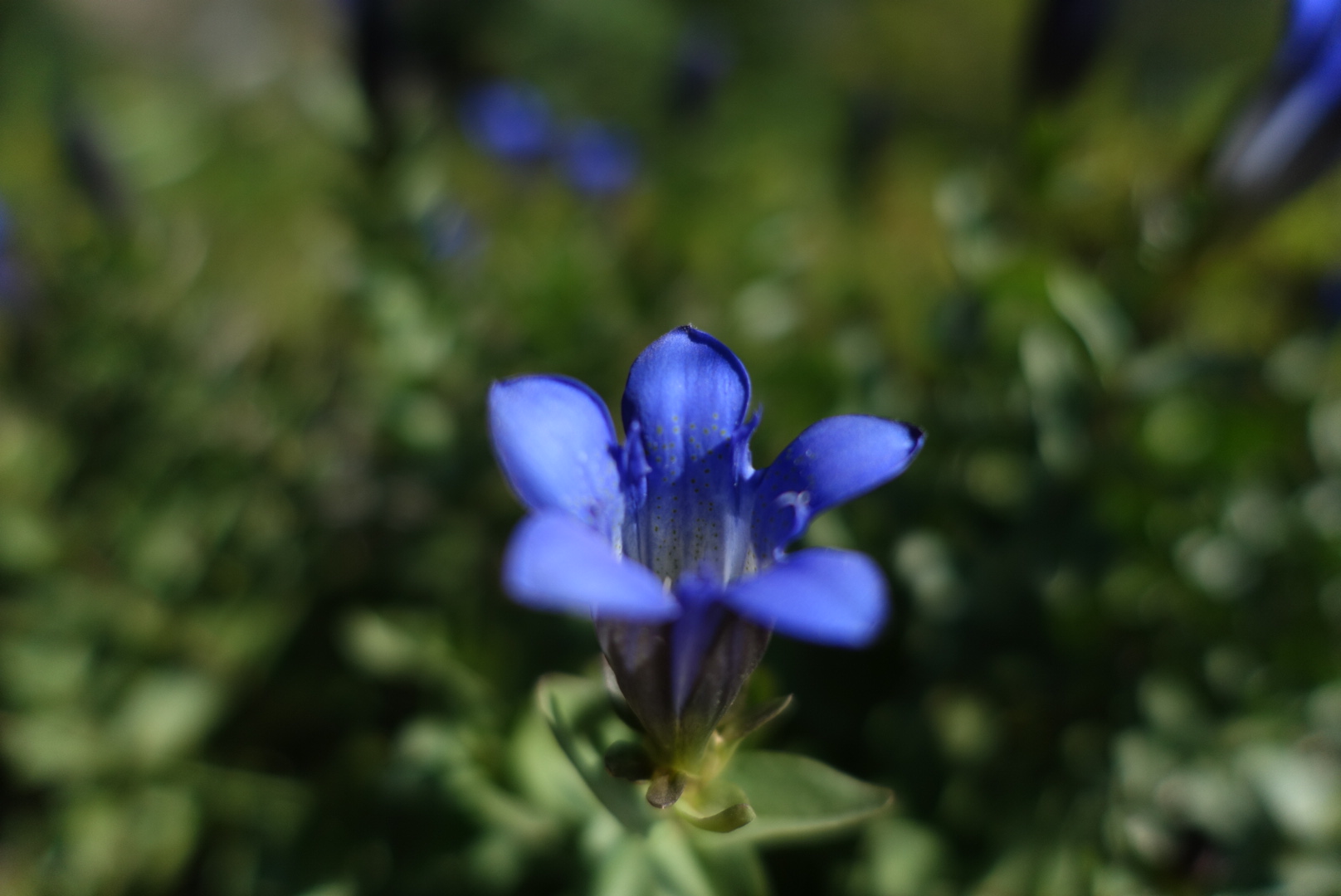
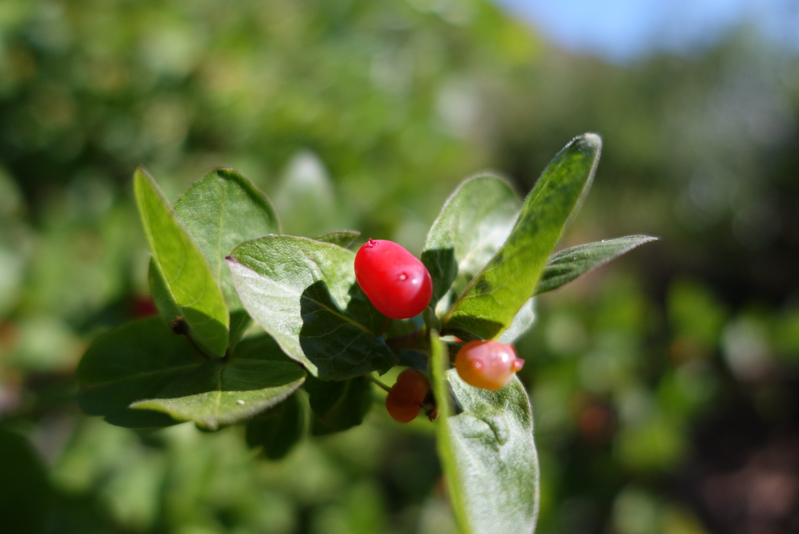
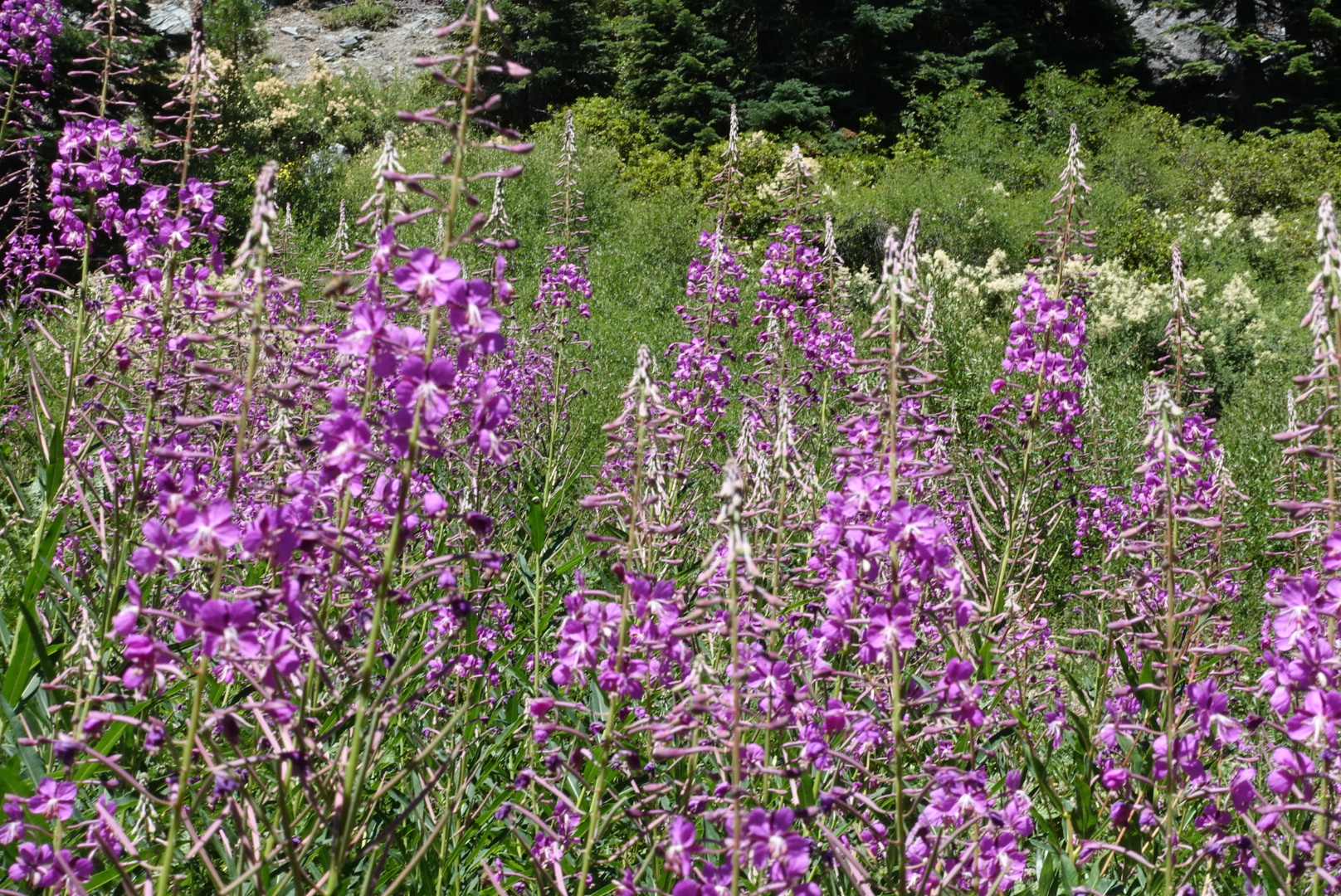
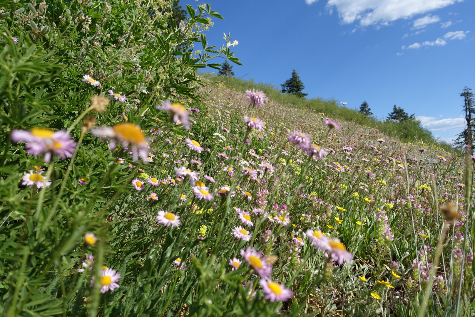
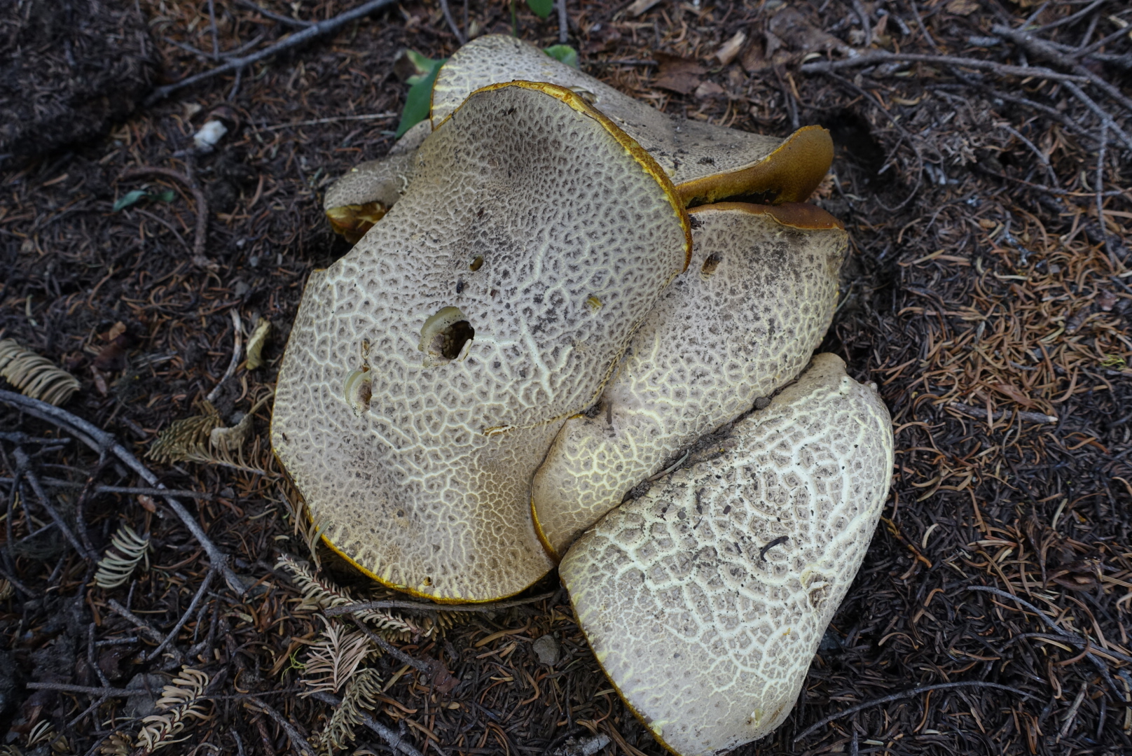
There was also much flora on this leg of the journey, mostly in damp valleys.
image

image

image

image

image
Does this fungus count? They're the size of dinner plates.

And, there was a flying Mickey Mouse hat.

image

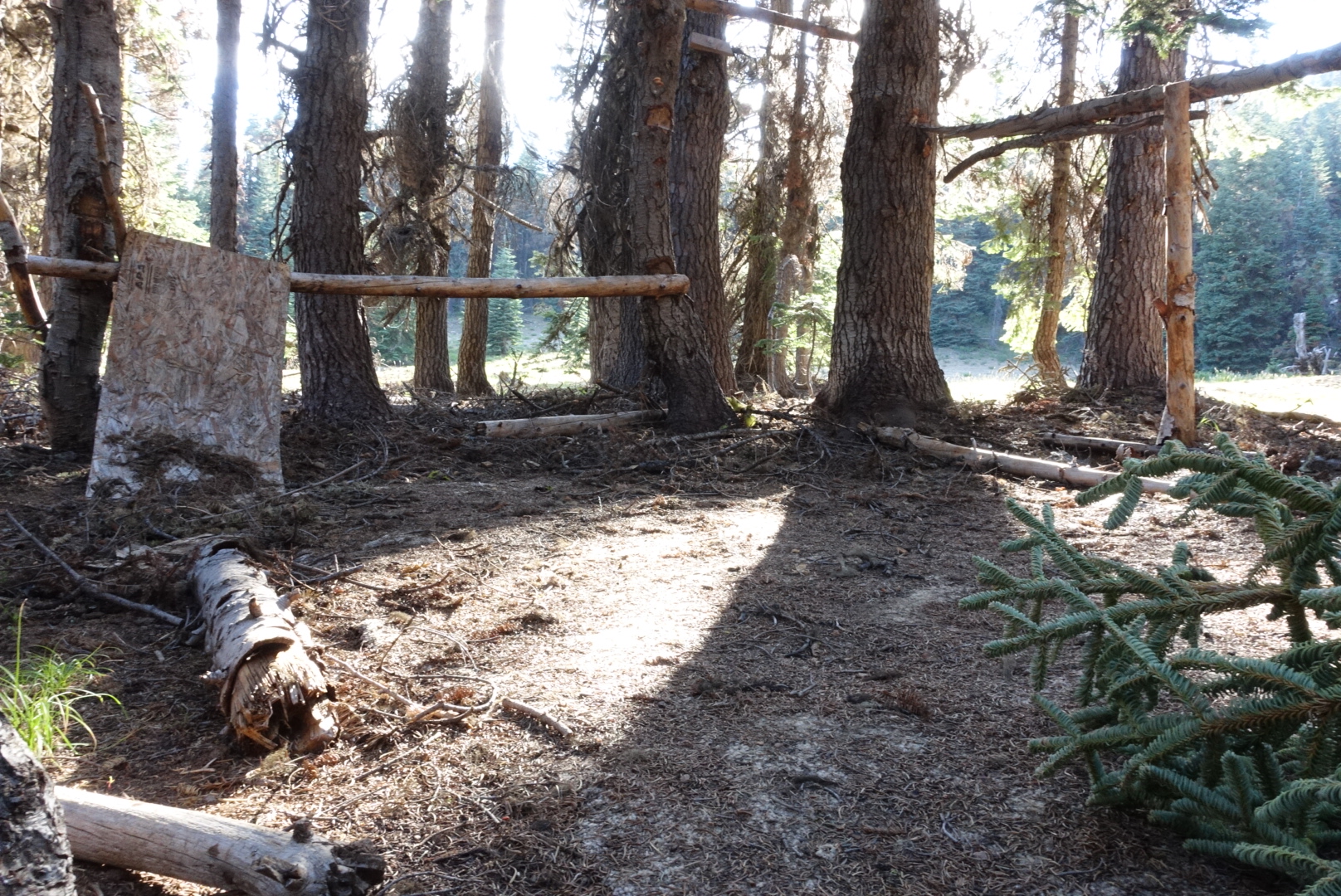
The last time I hiked this section, two years ago, there had been a sorry attempt at building a shelter by the side of the trail. Somebody had nailed beams to trees, made a couple walls of plywood, and put carpet down on the forest floor. Now the carpet was still there, but the rest was in poor shape.

image

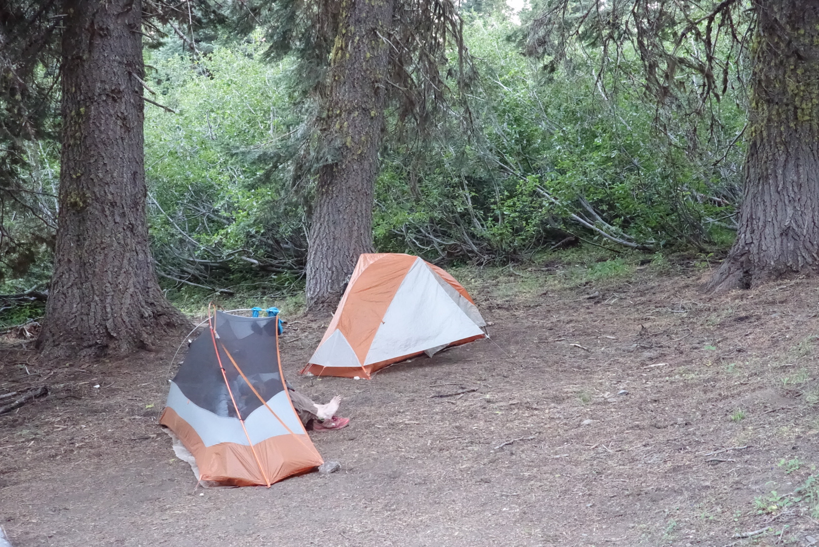
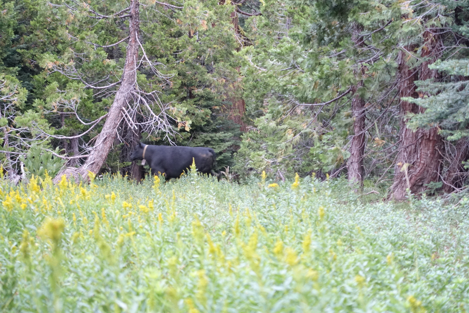
We set up camp a bit early had dinner, and started getting ready for bed. Until suddenly, a cacophony of bells and chimes of different pitches started moving through the forest towards us.
image
I was expecting a hippie musical expedition in the woods, not cattle with tuned cowbells

When the herd had passed us by, we went to bed.
image

CS1639 to CS1660 via Seiad Valley – 8-3

This morning was cold and dark. The shelter of the trees surrounding our campsite made it seem like much earlier than it really was.

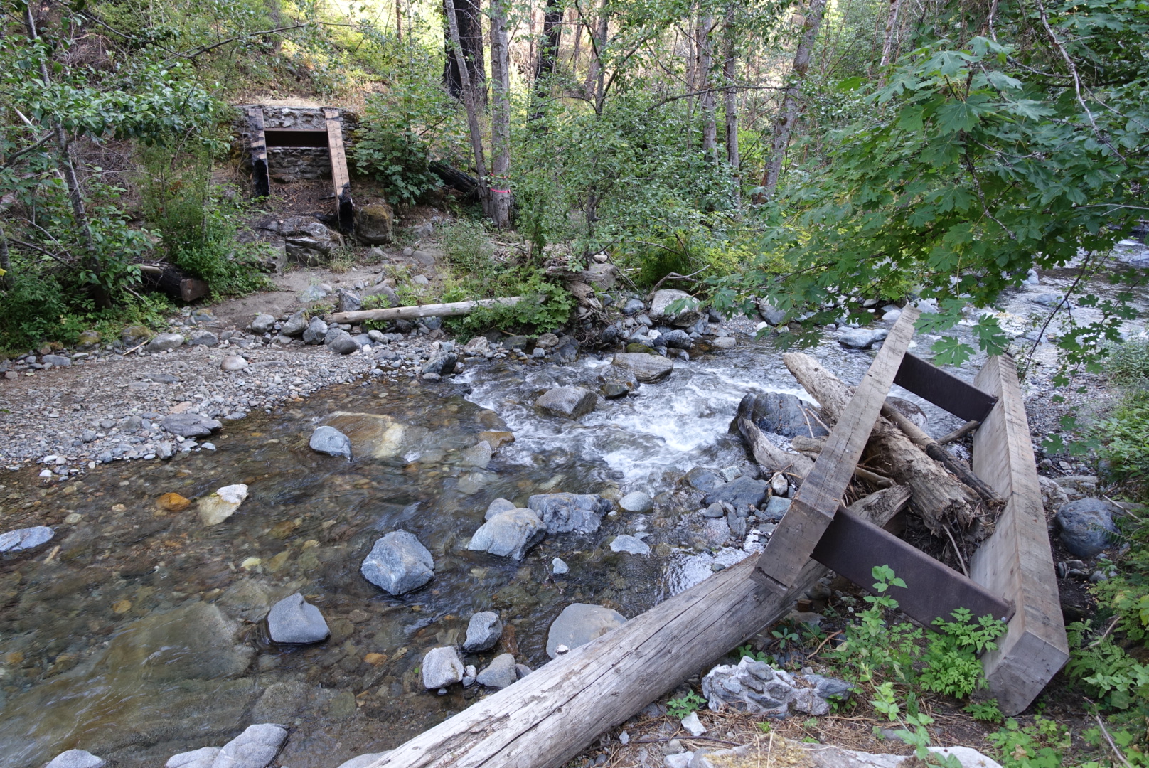
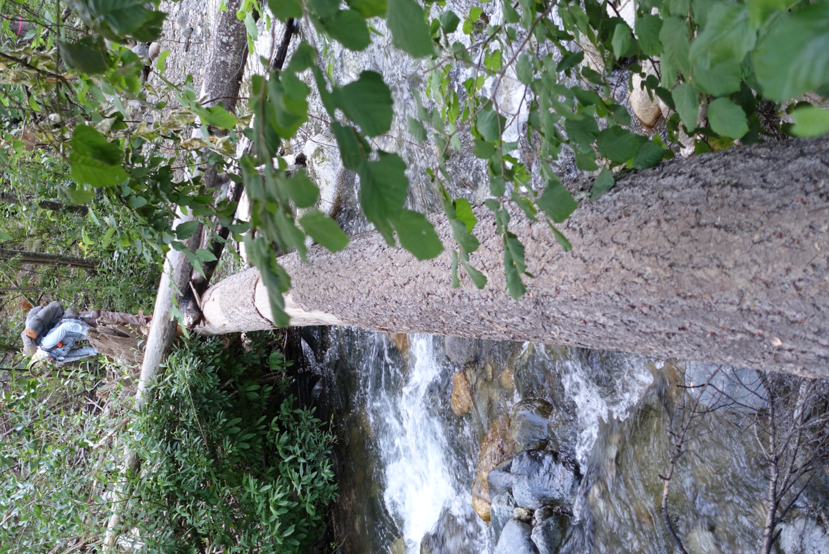
The way to Seiad Valley had several river crossings. There was only one problem.

image
The detour also had no bridge

The Happy Camp Complex Fire had destroyed many of the bridges.

image
The supports for many of the bridges were made of wood, which is not renowned for it's fire resistance
image
We found ways around, though
image
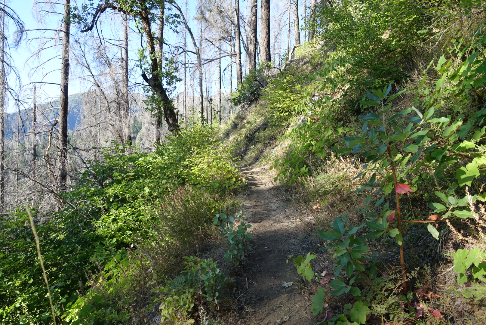
The trail down to Seiad Valley was moist and shady, like what I'm expecting Oregon to be like
image
Look carefully for dueling graffiti

Approaching town, we had several miles of road walking to reach a bridge over the Klamath River.

image
Klamath River in the background, road walk in the foreground

image

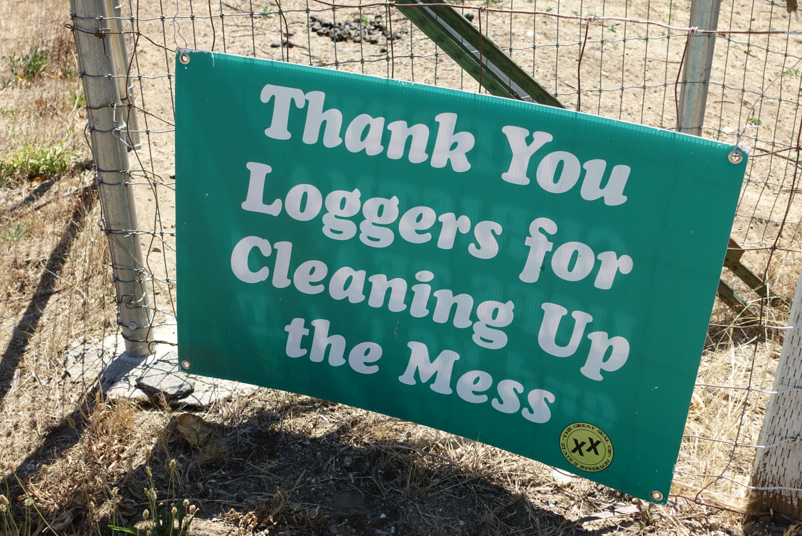
Seiad Valley is in the heart of the “Jefferson State” area, which is a section of California that wants to secede and become it’s own state. There were “double x” flags and murals all over town. And then there was this:

image

We did laundry in the broken-down laundromat at the RV park, showered in the moldy shower, and had lunch at the town’s restaurant. Surprisingly, Wi-Fi was really good out here, and I was able to post blog updates.

As we ate, we read a pamphlet about Jefferson State. Though we seen no Jefferson State signs near Tahoe, it had a map showing is that the new state will extend from the Oregon border to Tahoe on the east, and Mendocino on the west. It wasn’t very clear about what the new state was for, though.

After lunch, with a 2.5 star milkshake (real ice cream, but the flavors were just Torqni syrup), we resupplied, and set off.

The remainder of the day, we had to head up a steep uphill.

image
There was poison oak all over this stretch
image
Seiad Valley from above
image
As the sun sunk low, the Klamath shined
image
Collecting water is more scenic than ever here
image
We ate dinner atop a rock outcropping on a ridge

We camped on a ridge about 7 miles north of the city.

image
And Shasta was still keeping an eye on us!

Ash Creek Campground to Castella – 7-26

Note: Sorry, I posted this one out of order by accident.

Today was another long day. My longest yet, in fact — about 32 miles. It wasn’t supposed to be, but I’ll explain later.

The day started like any other. I packed up, had breakfast, set out, etc. It was a bit of a dry section of the trail, so I picked up water at the McCloud River, and again at Trough Creek. I ran into Luke there, a hiker I hadn’t seen since Tehachapi, about 800 miles ago. He had been hiking with Poppy, and he let me know that Poppy had taken some time off, and had returned to the trail. Poppy had skipped the section from Tahoe to Burney Falls, so he was now a couple days ahead of us. We might meet him soon.

image
Crossing the McCloud River
image
McCloud River in the other direction

After Trough Creek, I made my way downhill to Squaw Creek, the last water before a dry stretch, and a good spot for lunch. I finished my trail mix, tortillas, and a mixed fruit bag in the creek’s rocky gulley. This wasn’t a very coherent lunch, but it let me leave my peanut butter jar completely sealed — a badge of pride to someone sick of peanut butter.

image
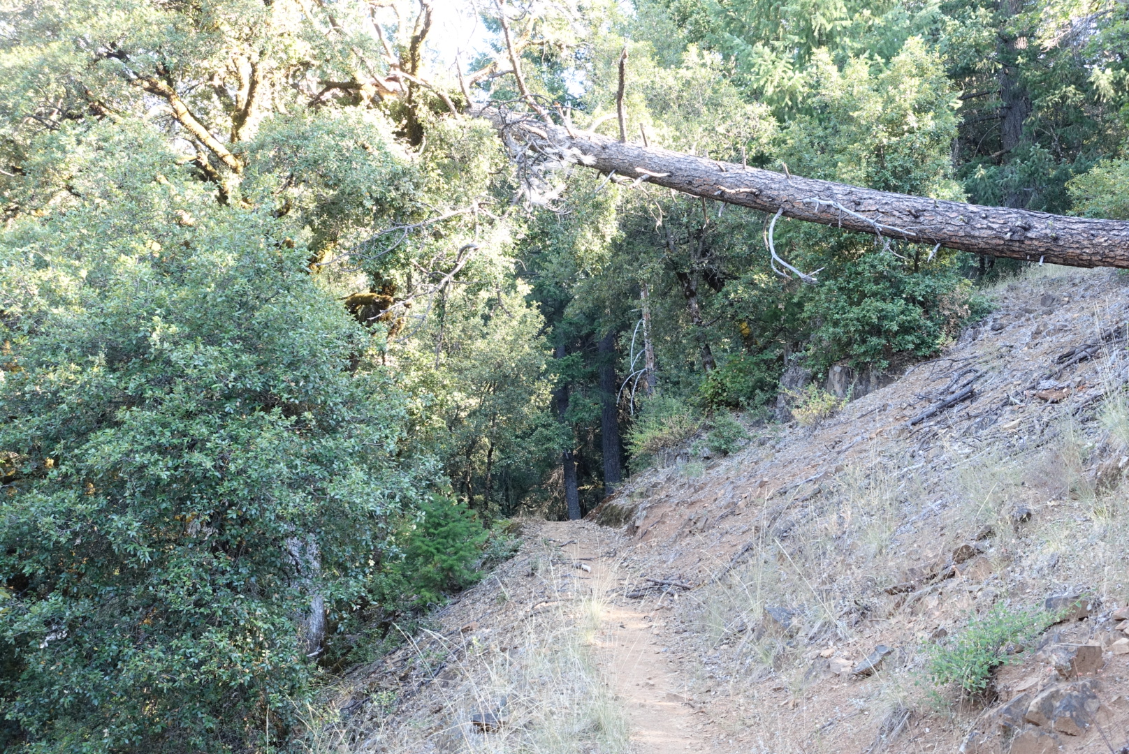
Today's trail

image

image
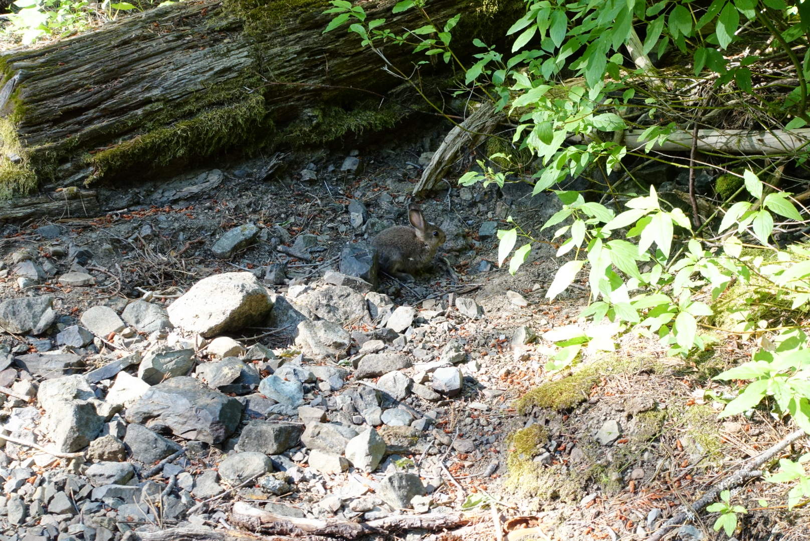
A trailside rabbit
image
I ate lunch under this bridge
image
Mt. Shasta was clearly visible today

image

image
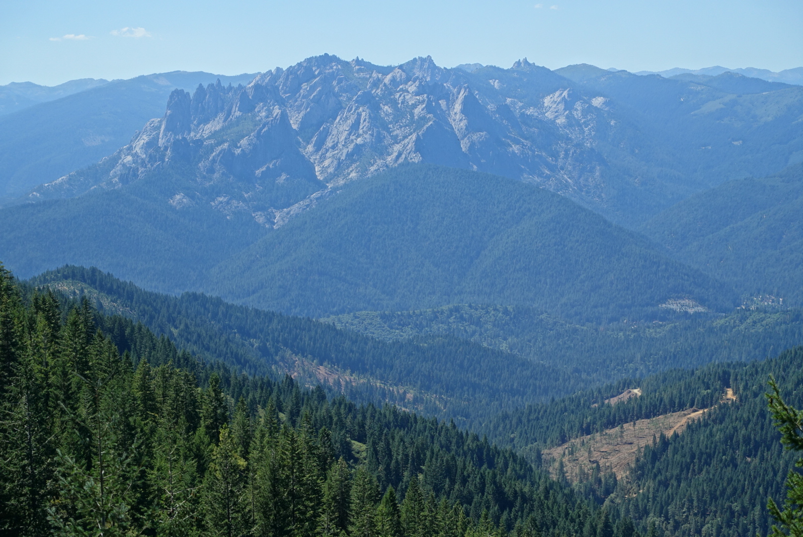
There was other scenery, too

image

image
A clearcut spot at the base of the hill

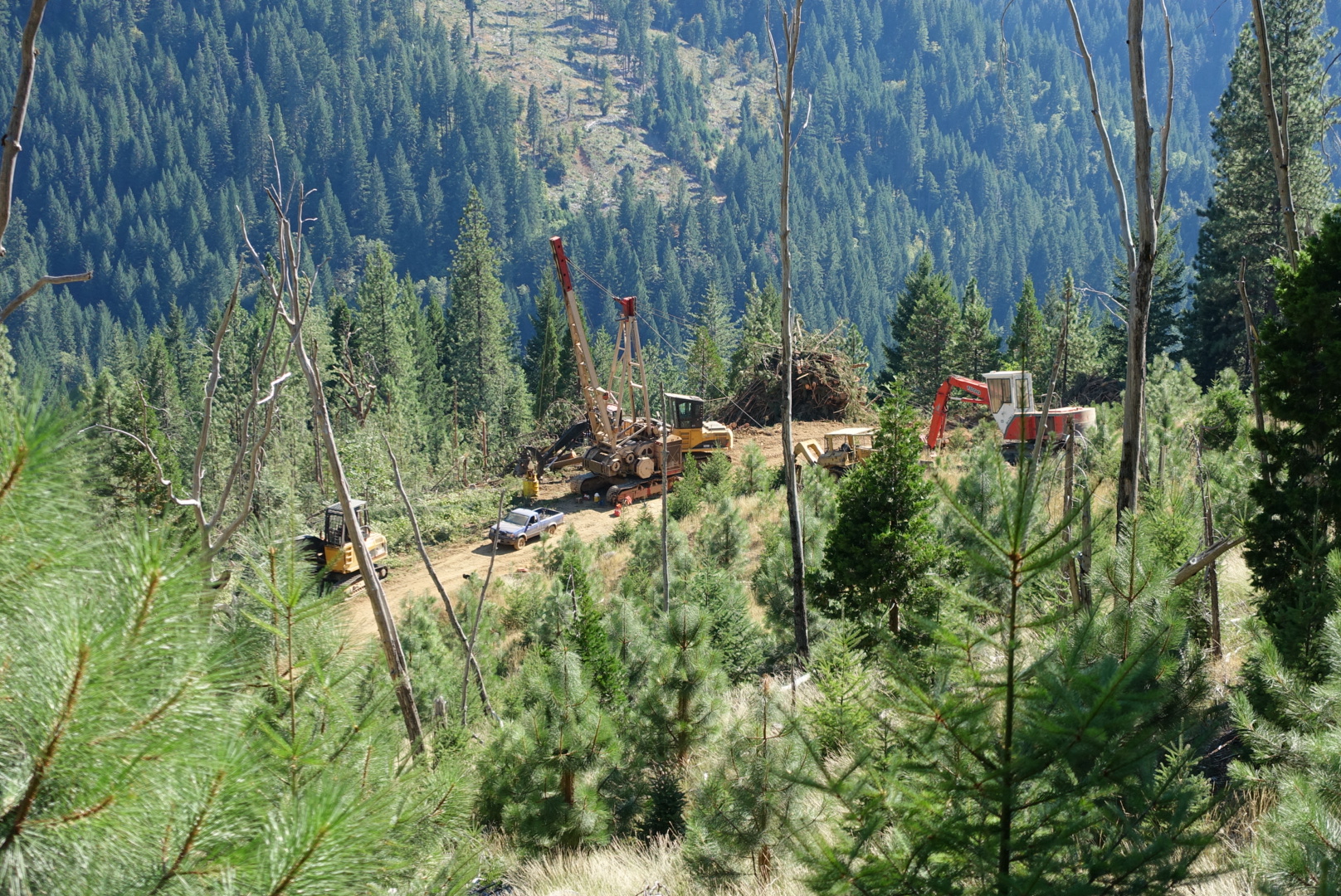
The rest of the day was all about covering miles. I plowed ahead, through the Northern California woods, in the Northern California heat, dodging the Northern California poison oak. Late in the day, I crossed directly past a recently-clearcut portion of the forest. Heat rose from the clearcut section with shocking strength.

image
It was hard to get the width of the cut area in a photo from close up. Or, for that matter, the hot wind, or smell of sawdust.
image
Interesting machines at the bottom of the cut
image
Even the PCT sign is cut down

My plan was to stop at the last campsite in the Halfmile’s maps before I-5. I saw it, decided it wasn’t big enough for Halfmile to call it a campsite, so I walked on by. With no phone, I couldn’t check whether I was at that campsite’s GPS coordinates, so I just guessed it wasn’t the right one. Eventually, I found myself at the I-5 intersection, where Elizabeth was waiting for a ride that wouldn’t come.

After giving up on the ride, we started walking to the Castella drive-in campgrounds, which would be a 2 mile side trail to end a 30 mile day.

But, a driver was kind enough to pick is up and take us there. She was spending 10 days camping there, while she thought about taking a new job.

She drove us not just to the campground, but to Ammirati’s Market, where she waited for us to buy dinner and dessert, and then drove us all the way through the large campground to our campsite.

So, we managed to finish the day eating Ben and Jerry’s ice cream, and drinking Ammirati’s Castle Crags Ale.

image
Very good!